Exploring the Giant!
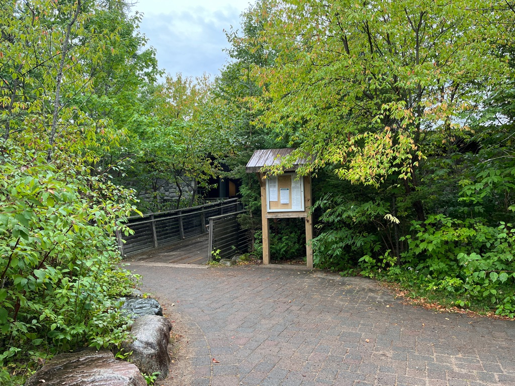
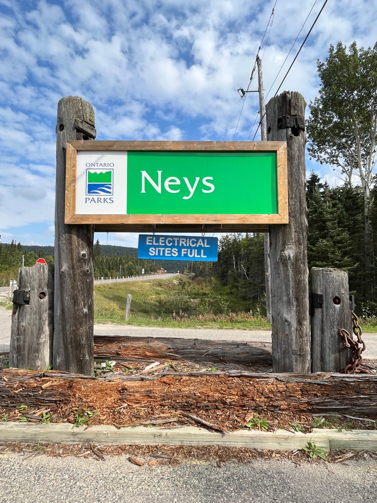
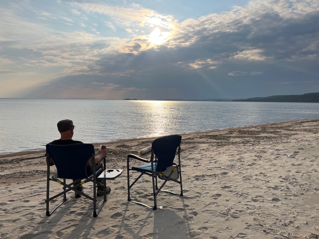
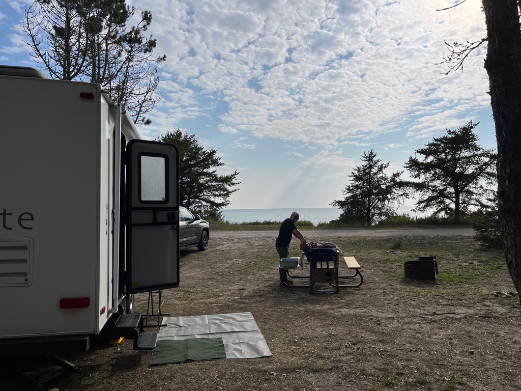
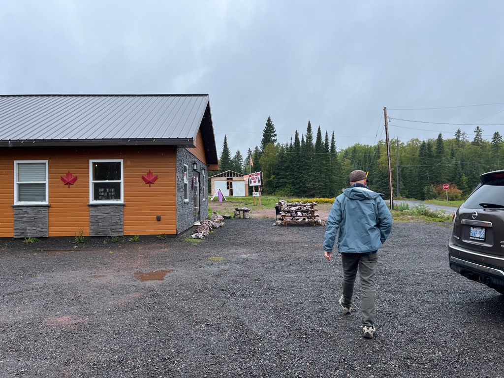
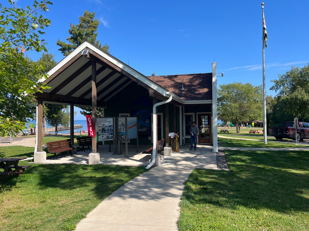
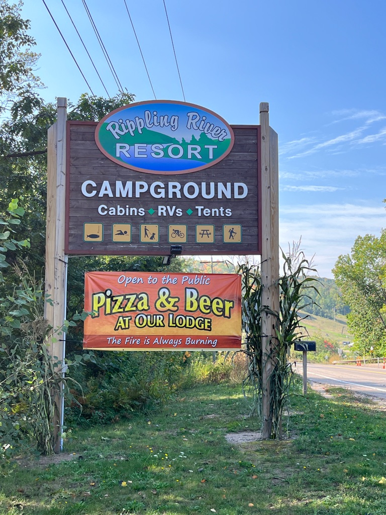
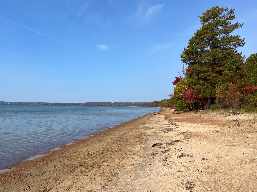
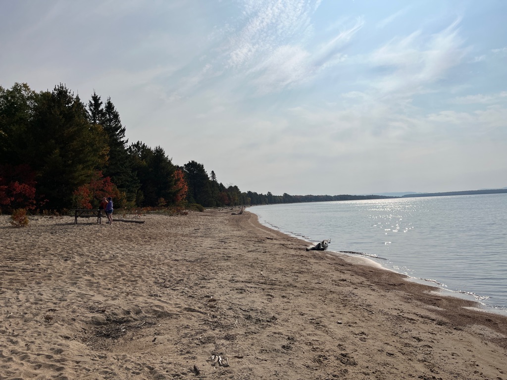
One thing for certain, there is very little cell service here. We walked up to Gate House first thing on the morning to pick up our permit. We did find very weak cell service if you stand on the beach near the water.
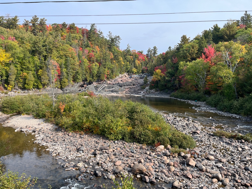
The weather forecast for today was perfect. It started out at only 2 degrees but was expected to warm up to around 19 with clear skies.
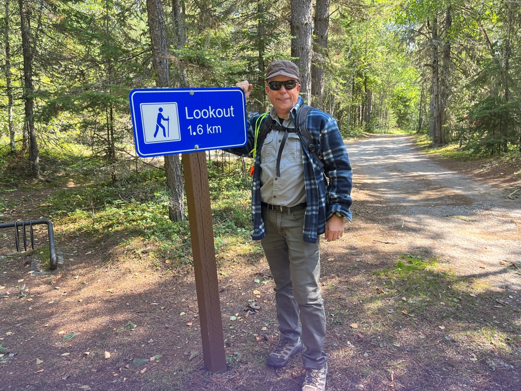
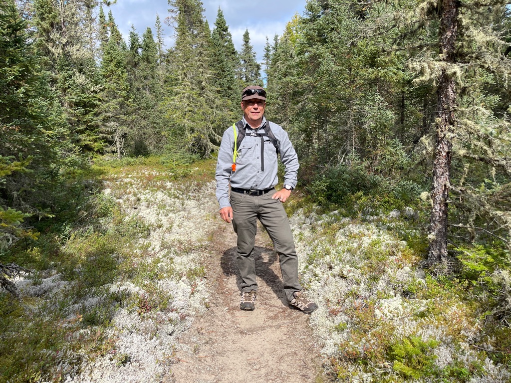
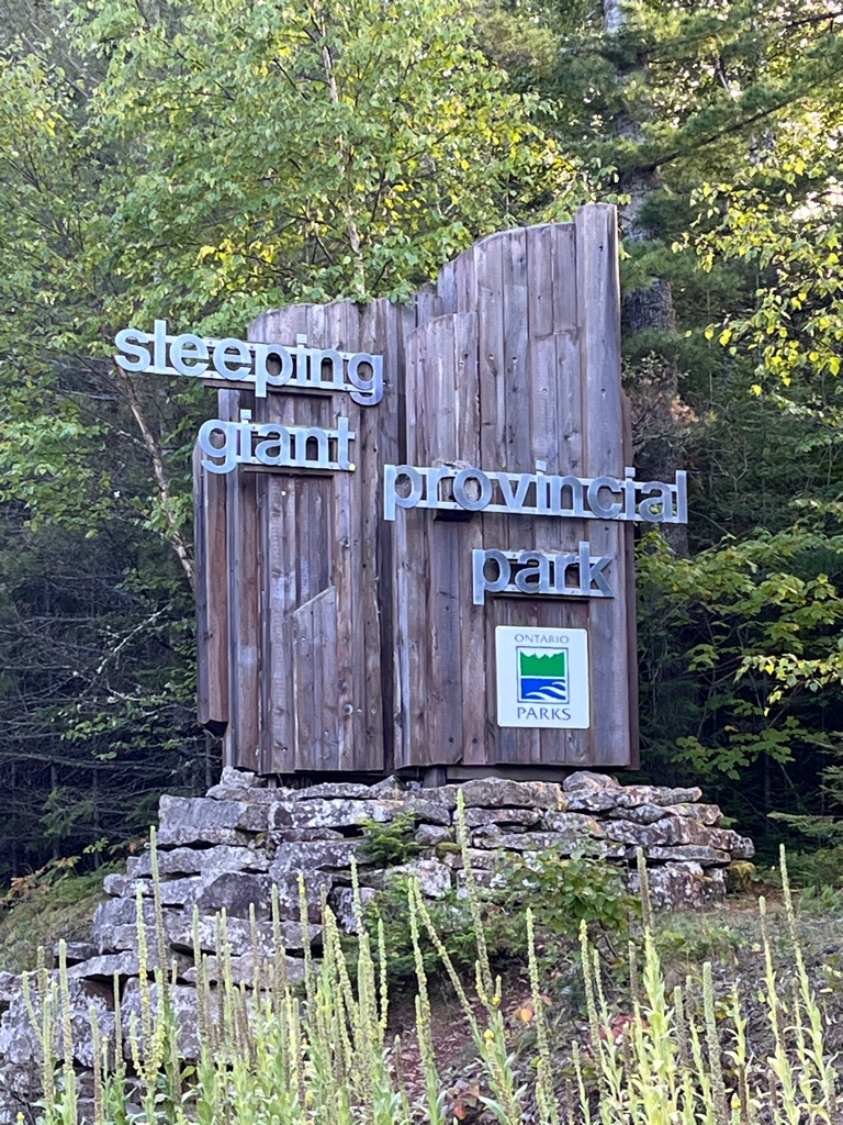
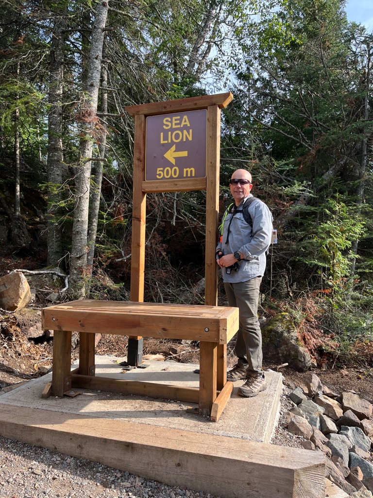
On the advice and encouragement of the young girl at the Gate House, we decided to head out to the top of the Giant trail.
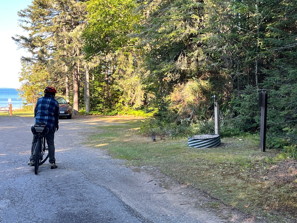
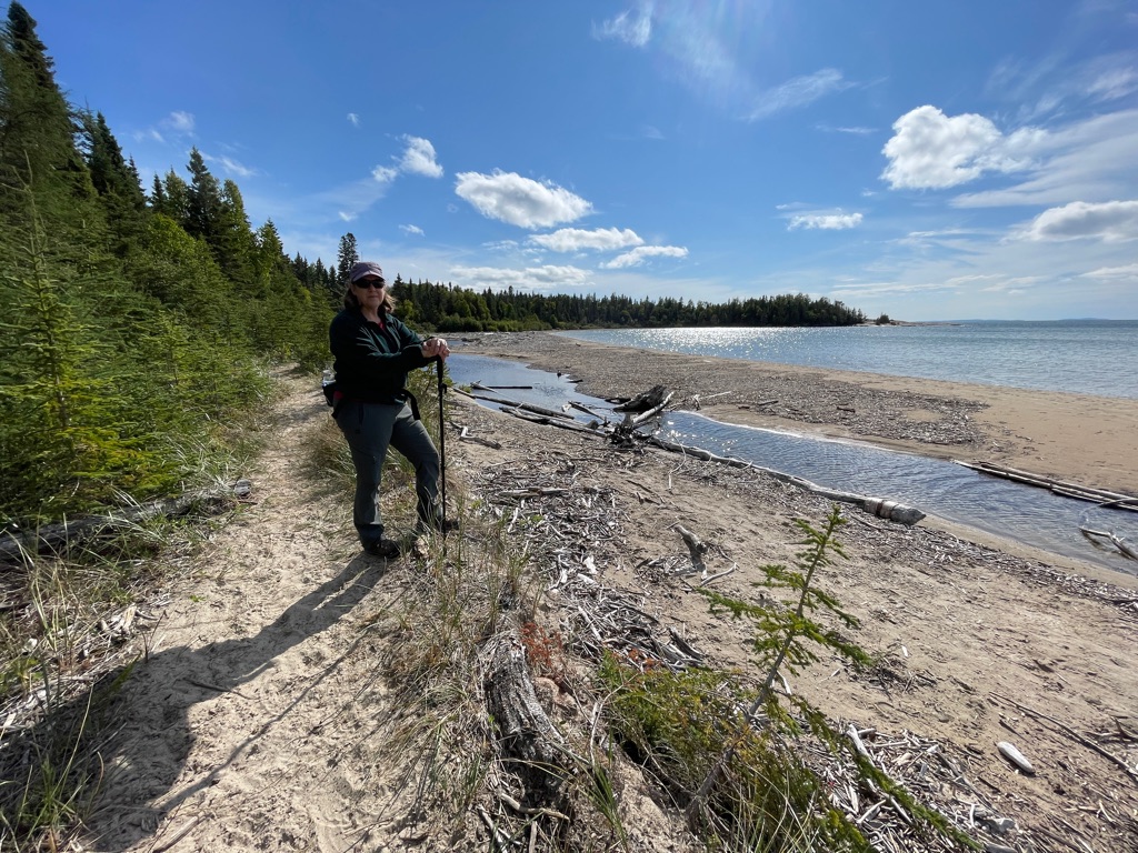
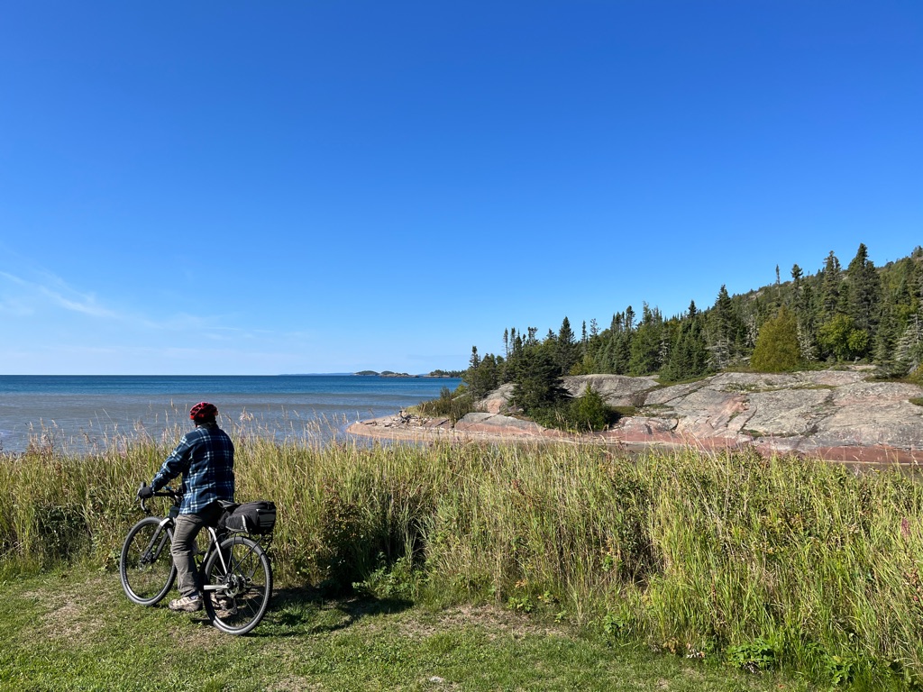
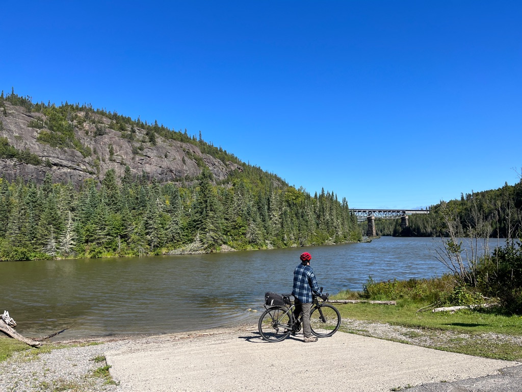
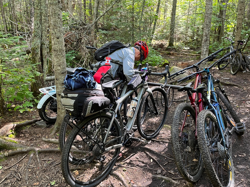
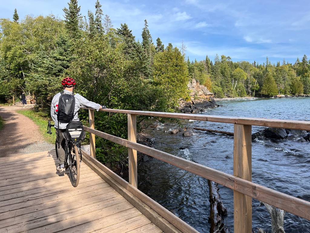
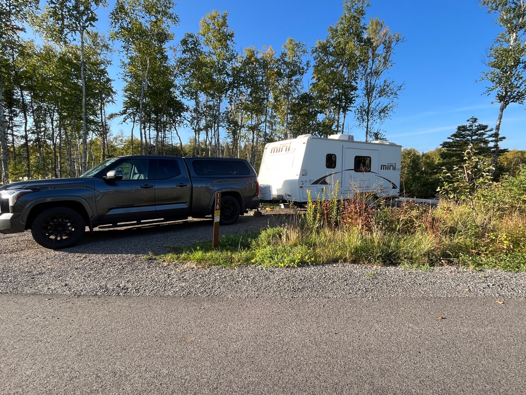
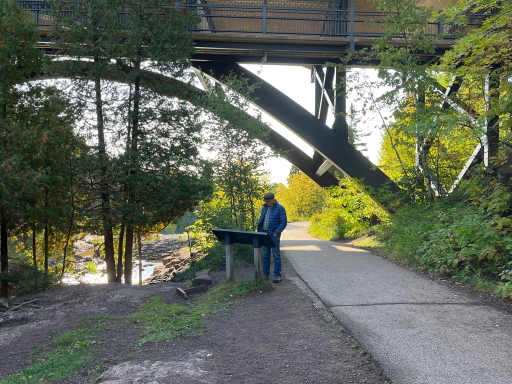
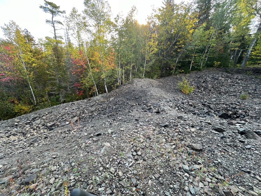
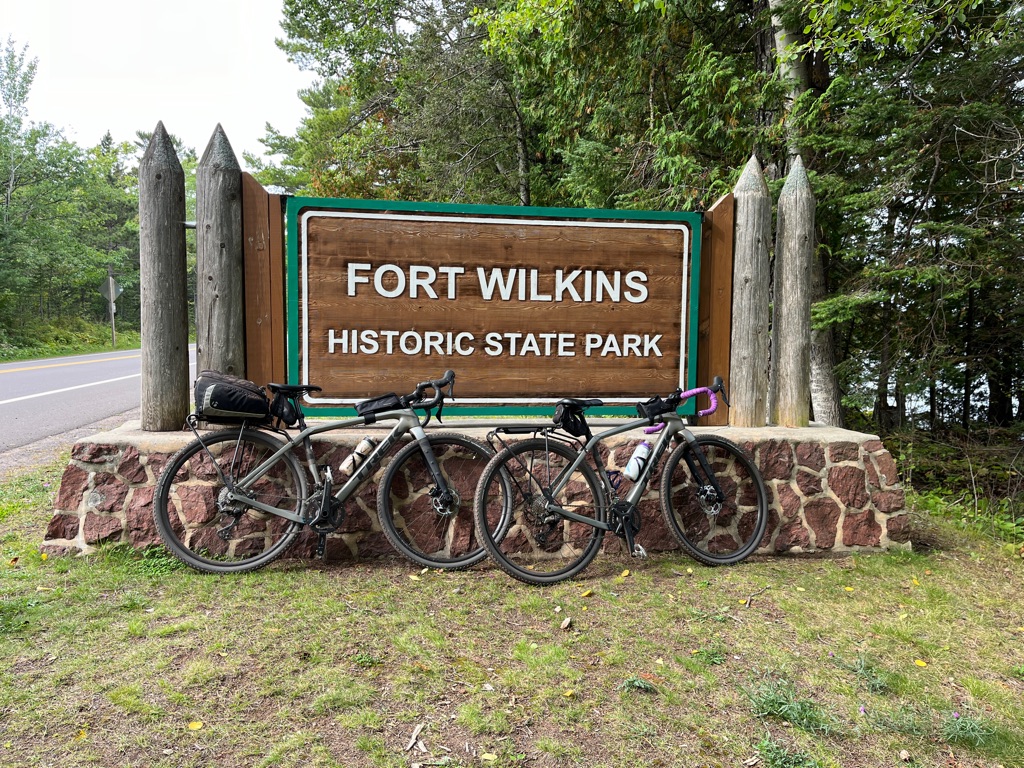
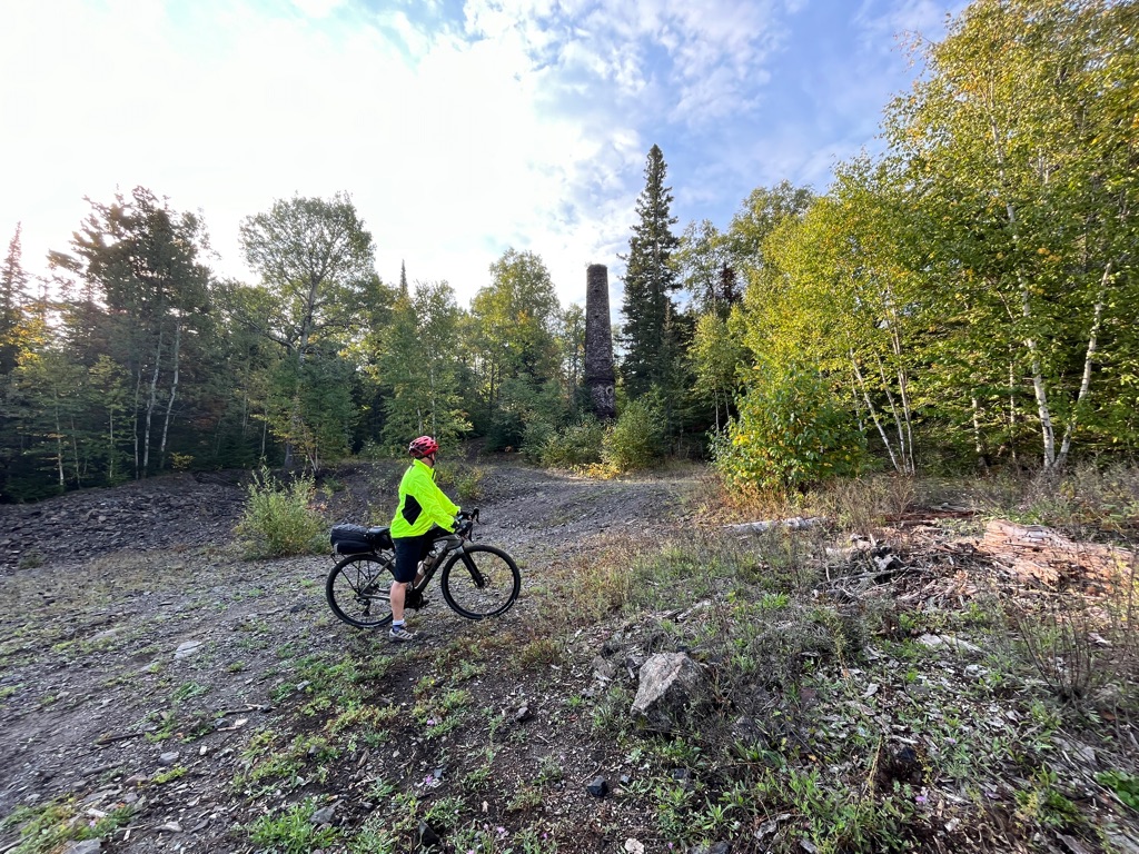
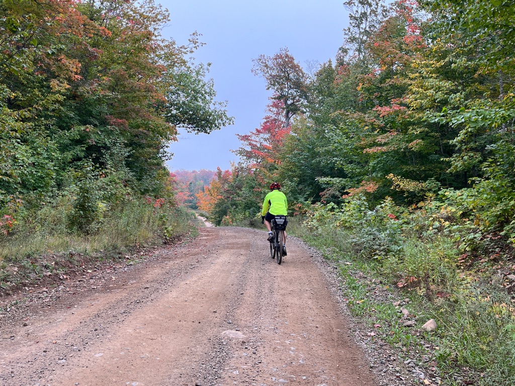
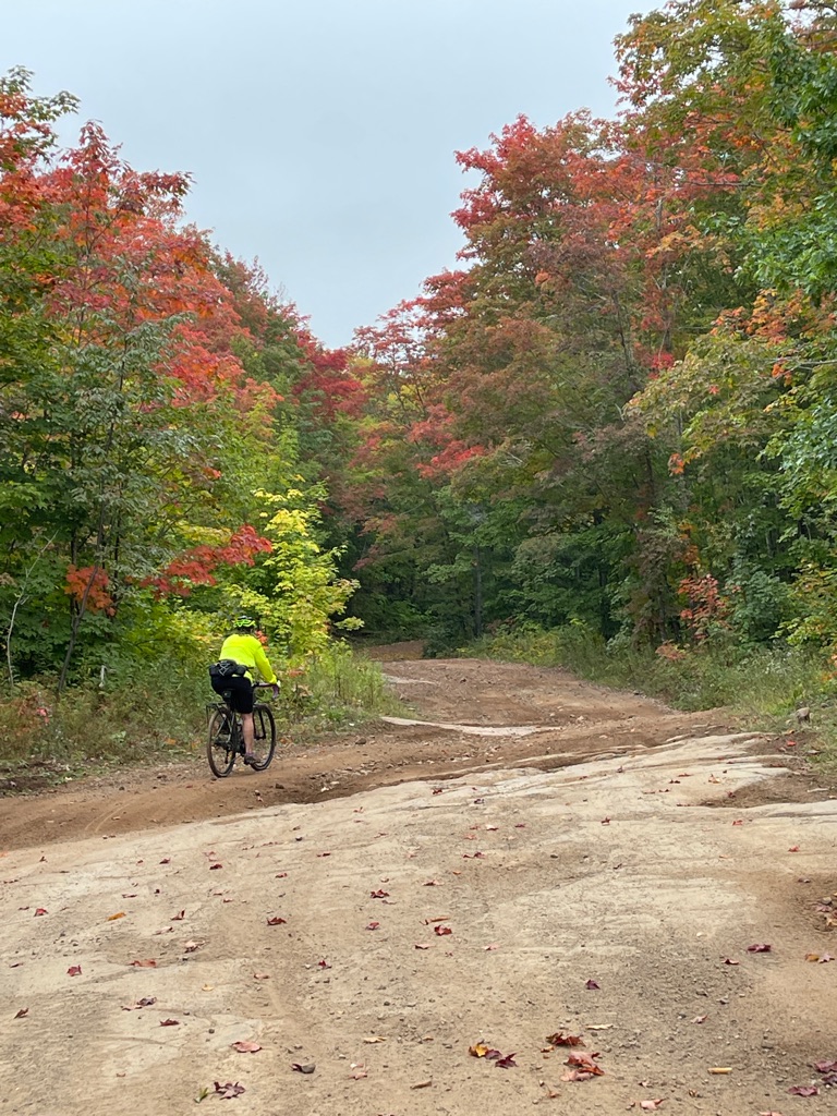
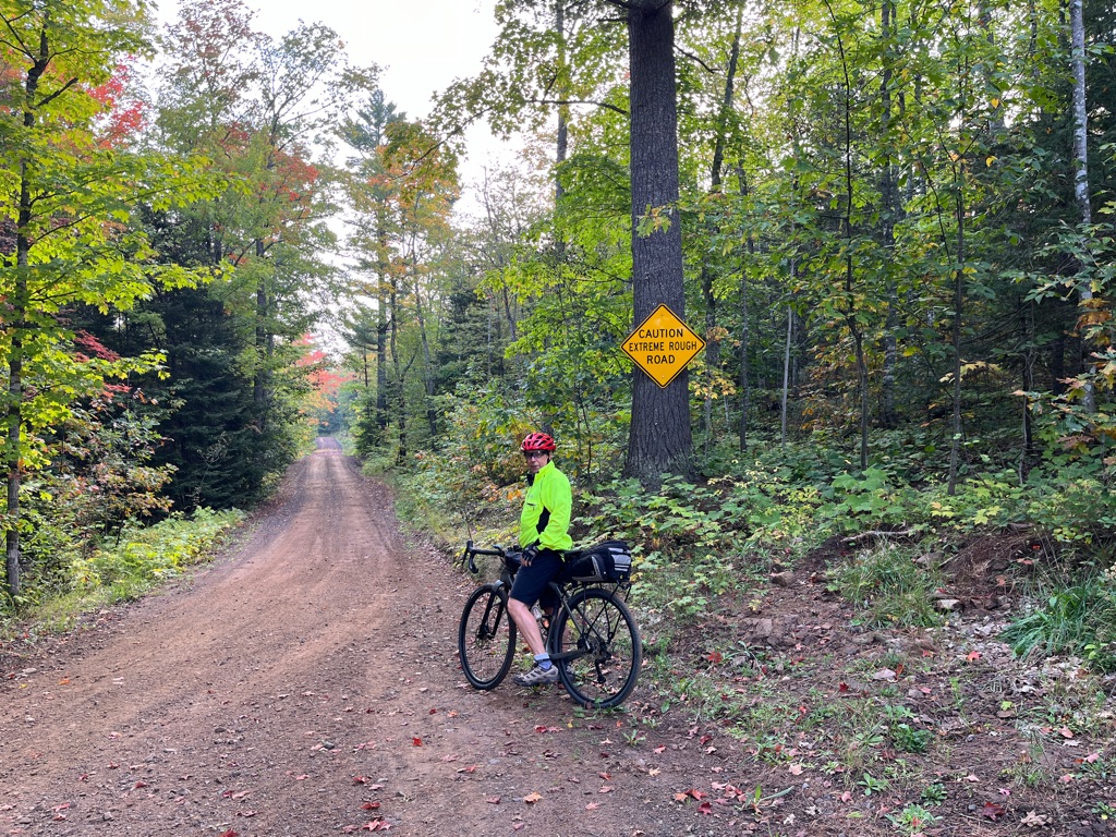
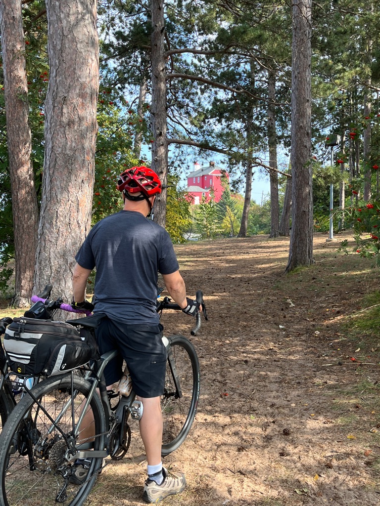
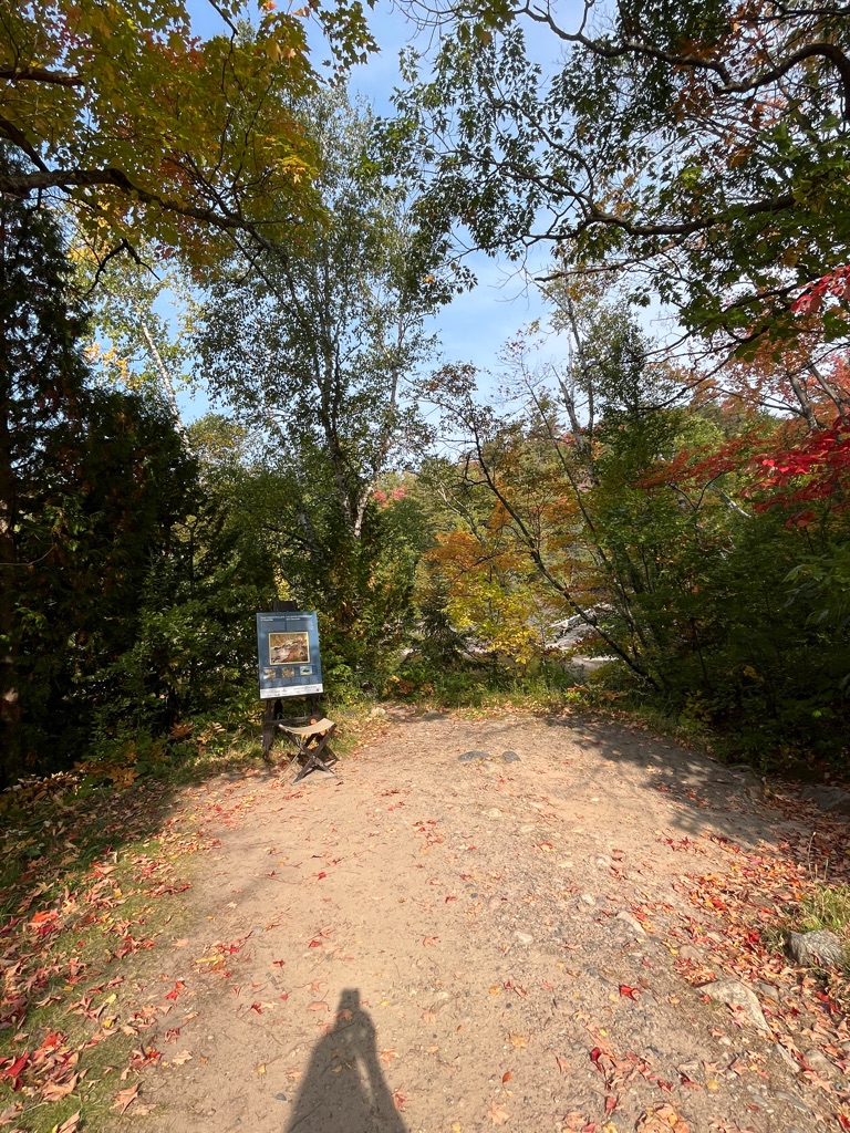
We first biked from our campsite to the South Kabeyan trail. There were a few rocky sections that we navigated cautiously but made it to our destination at the Talus Trail where we found a bike rack to secure our bikes. From here we would walk on foot the remainder of the trail (we expected 6.6 km).
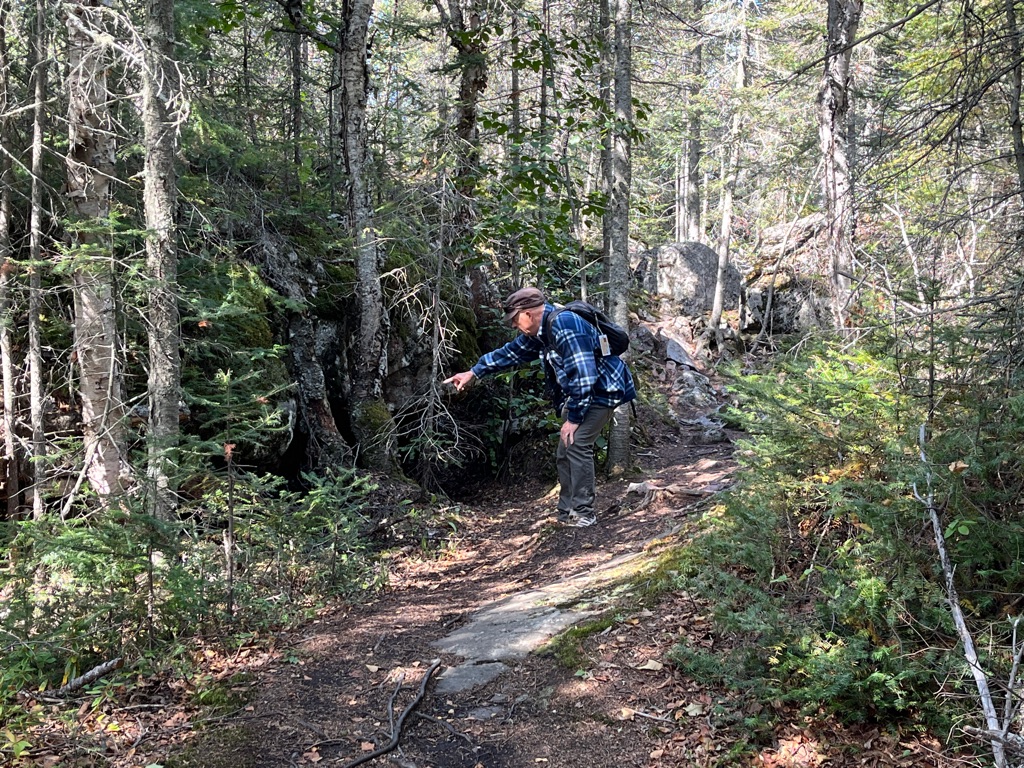
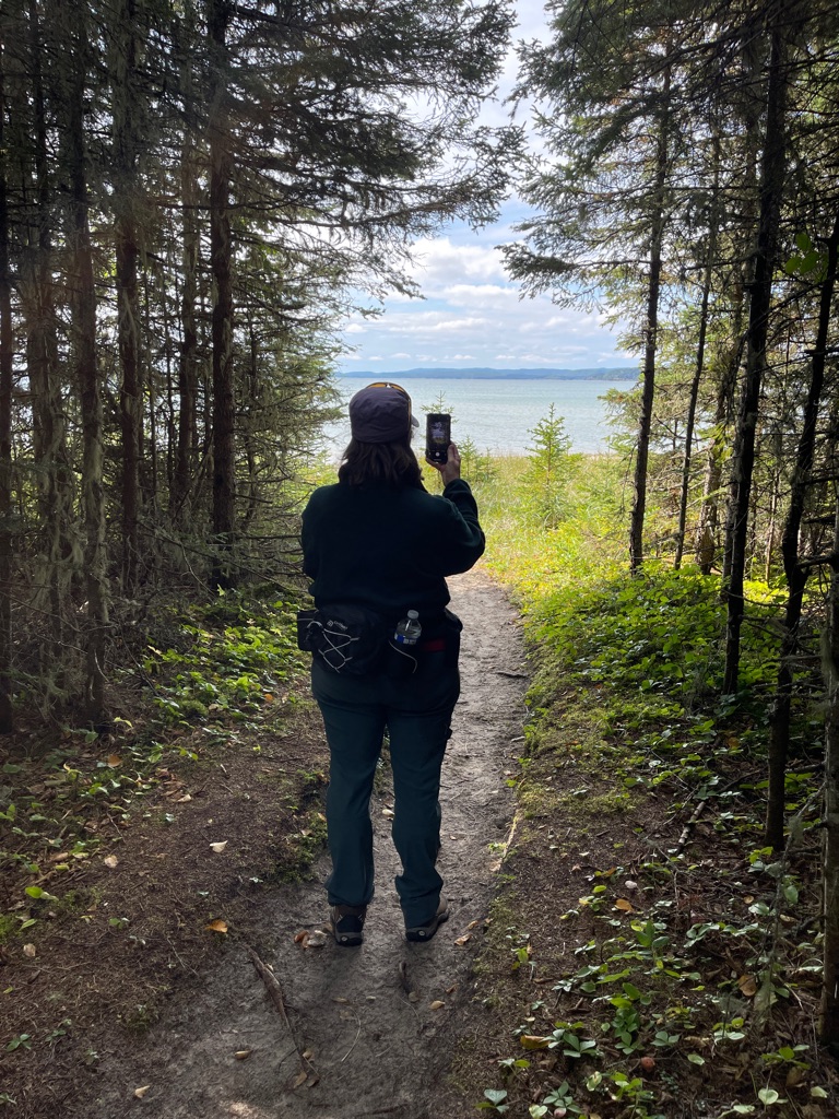
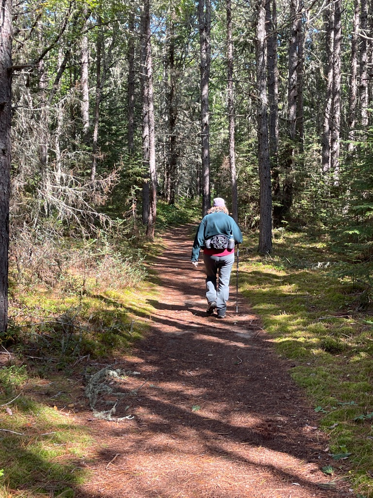
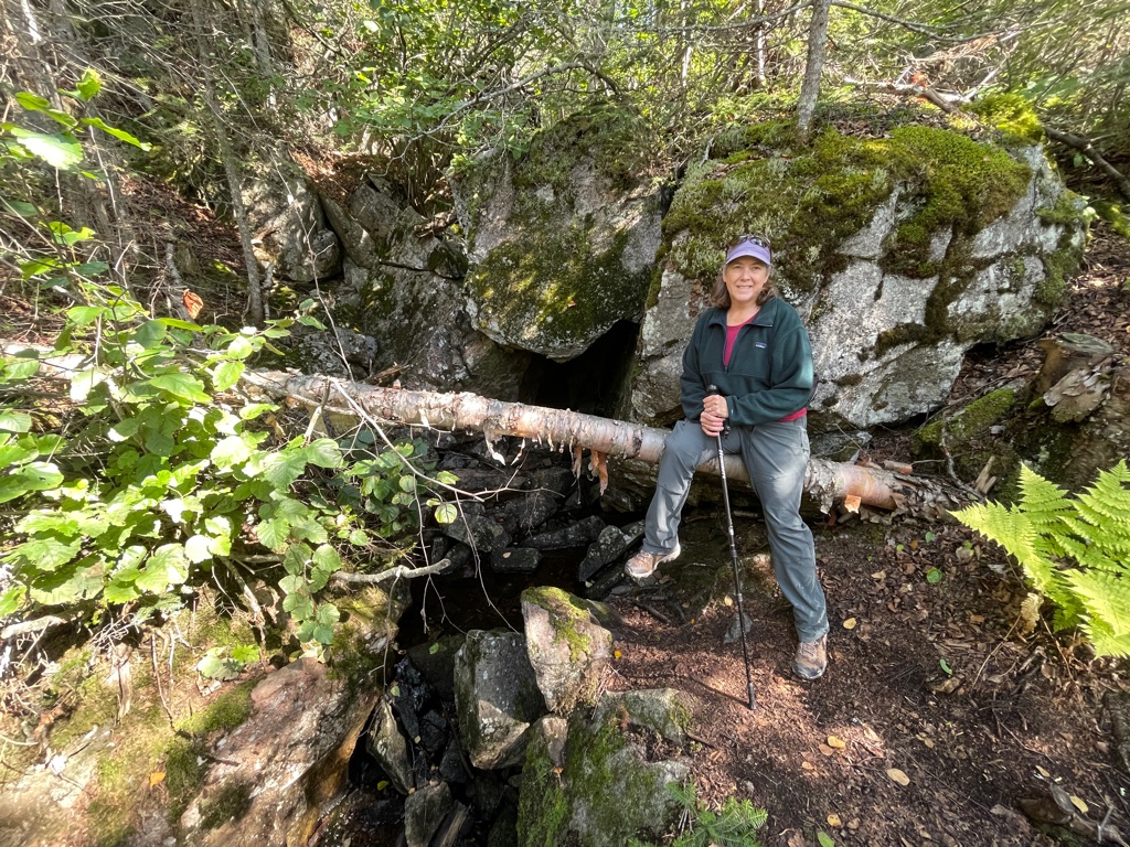
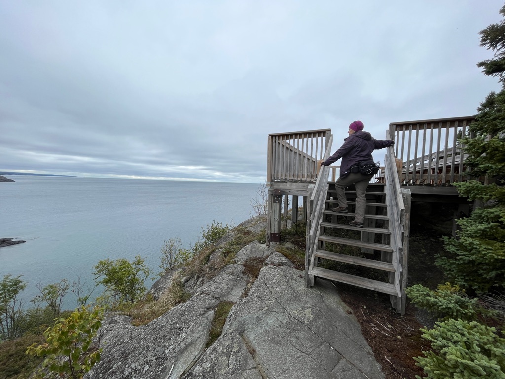
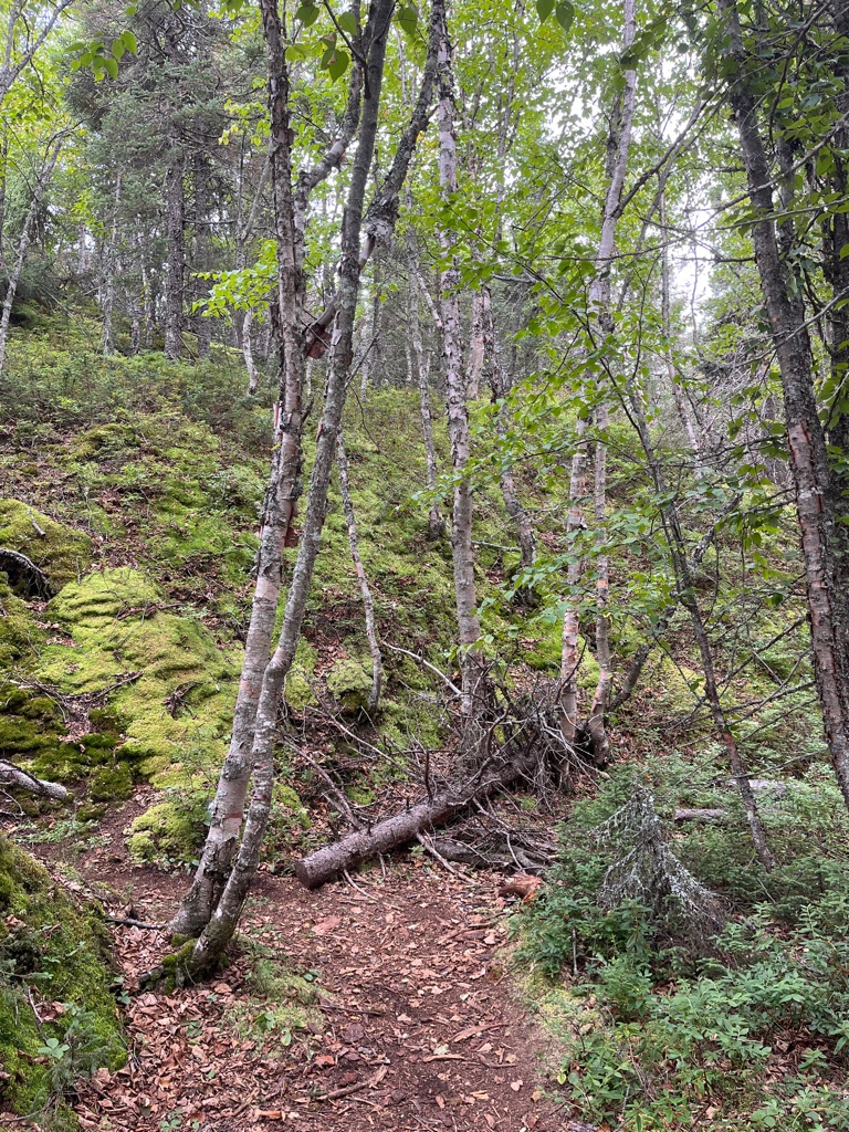
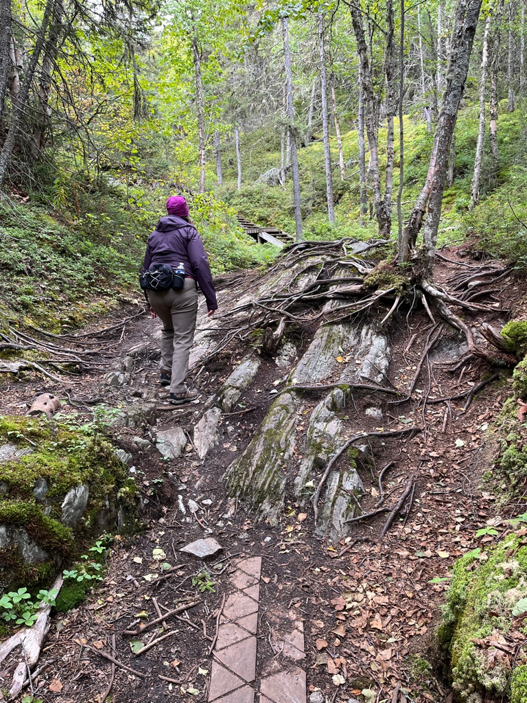
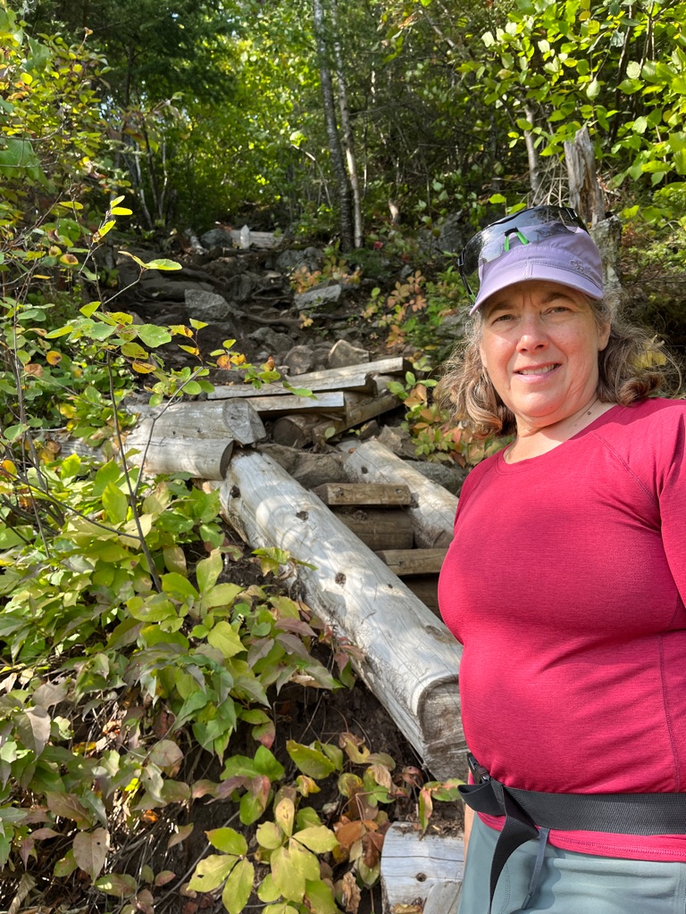
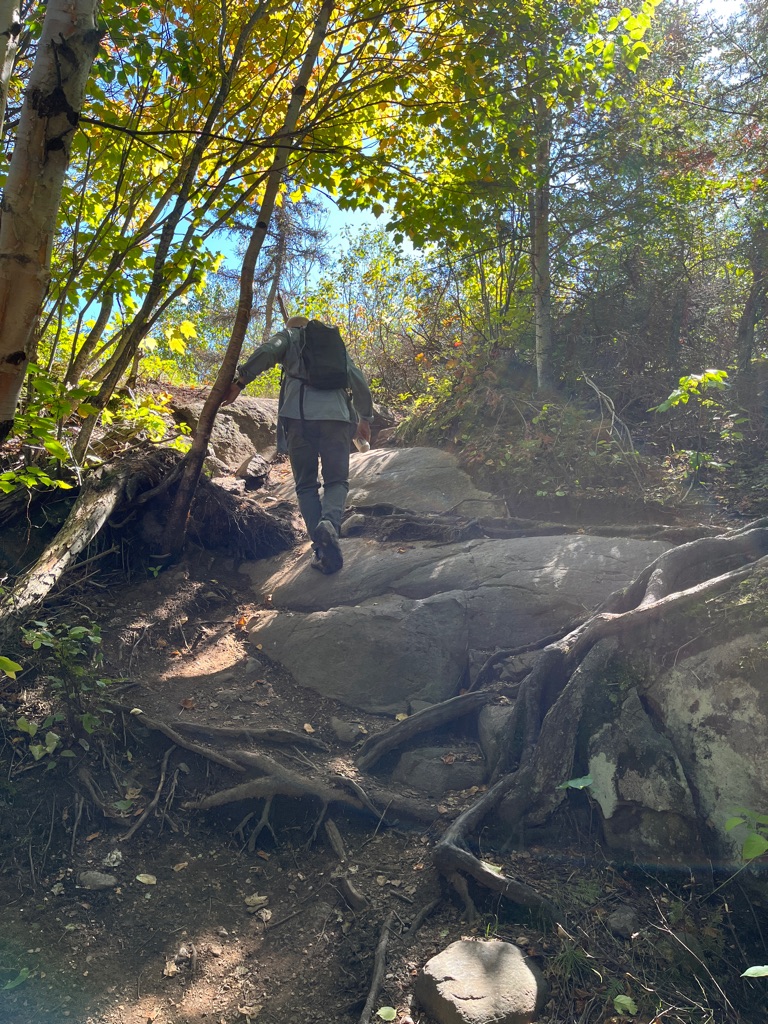
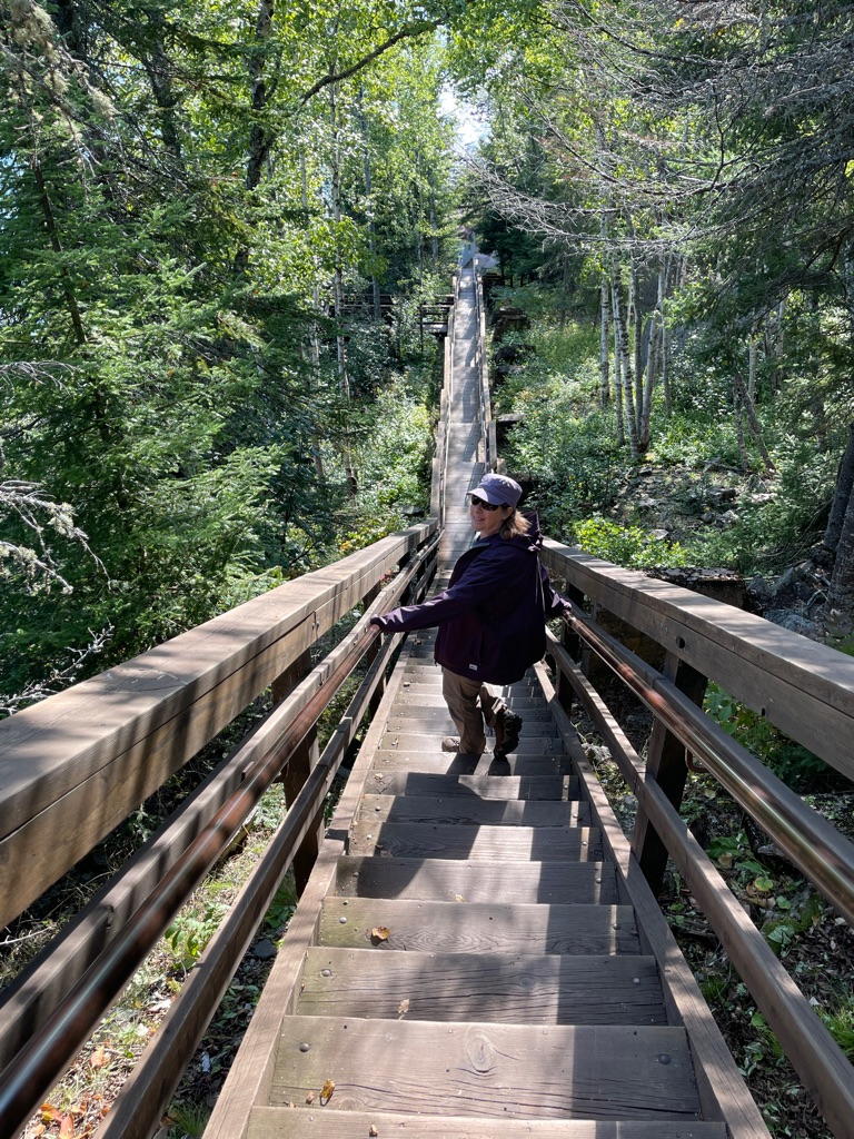
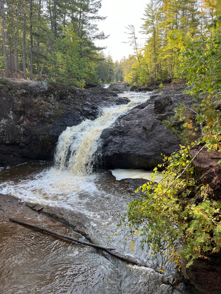
We knew that there was going to be climbing and we quickly came to roots, rocks and primitive stairs that had to be traversed. At one point I wasn’t sure we were going to make it, and Ed reminded me that it was on this date in 2019 that we started our Camino and climbed the Pyrenees. Those were the encouraging words I needed. We were very glad that the ground was dry and it was the perfect temperature.
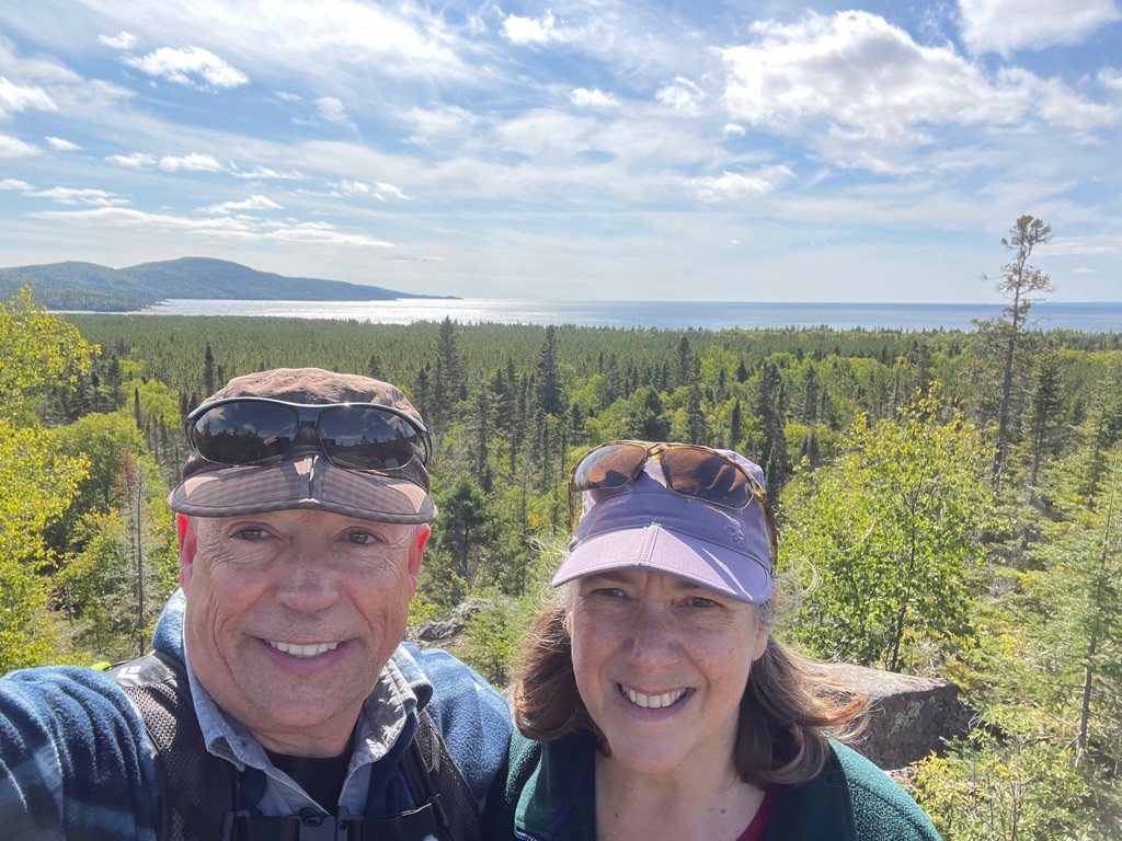
We thought we were at the top and we stopped to have lunch. Another couple came upon us from the opposite direction and confirmed that we had another km to go to get to the end of the trail. Ugh 😩
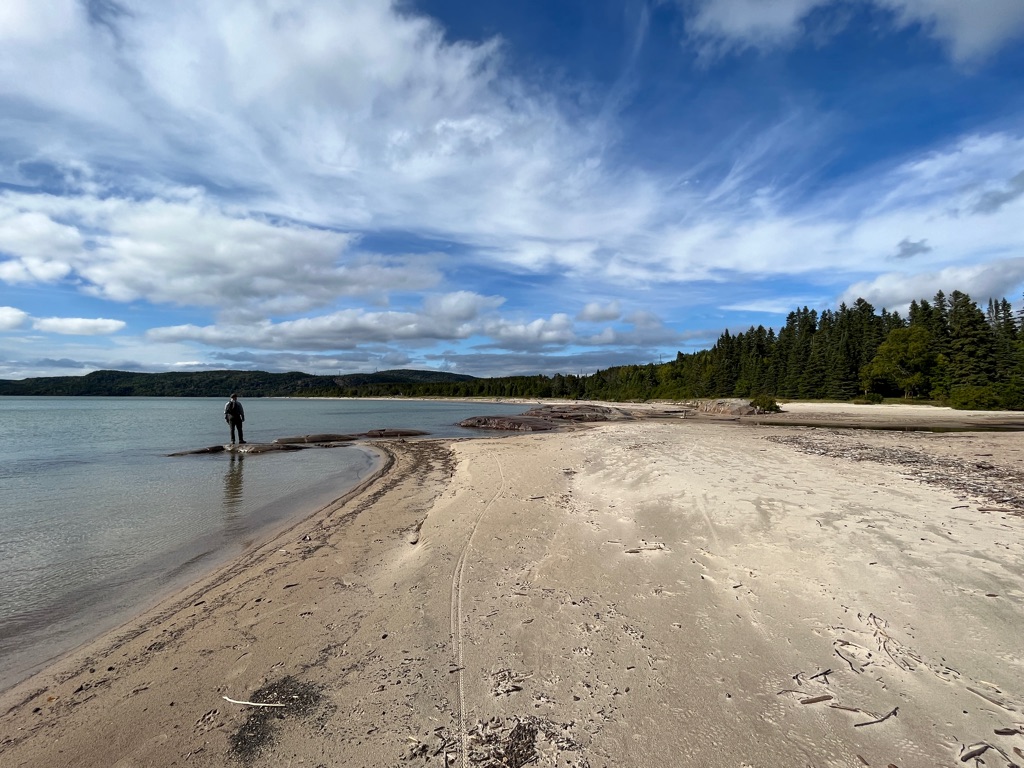
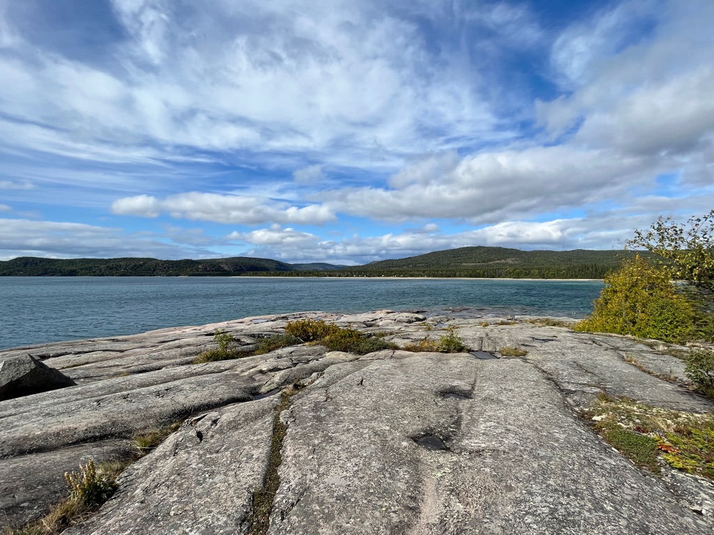
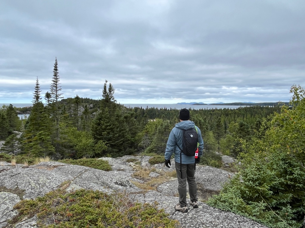
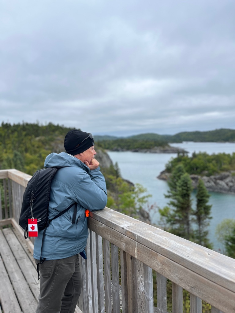
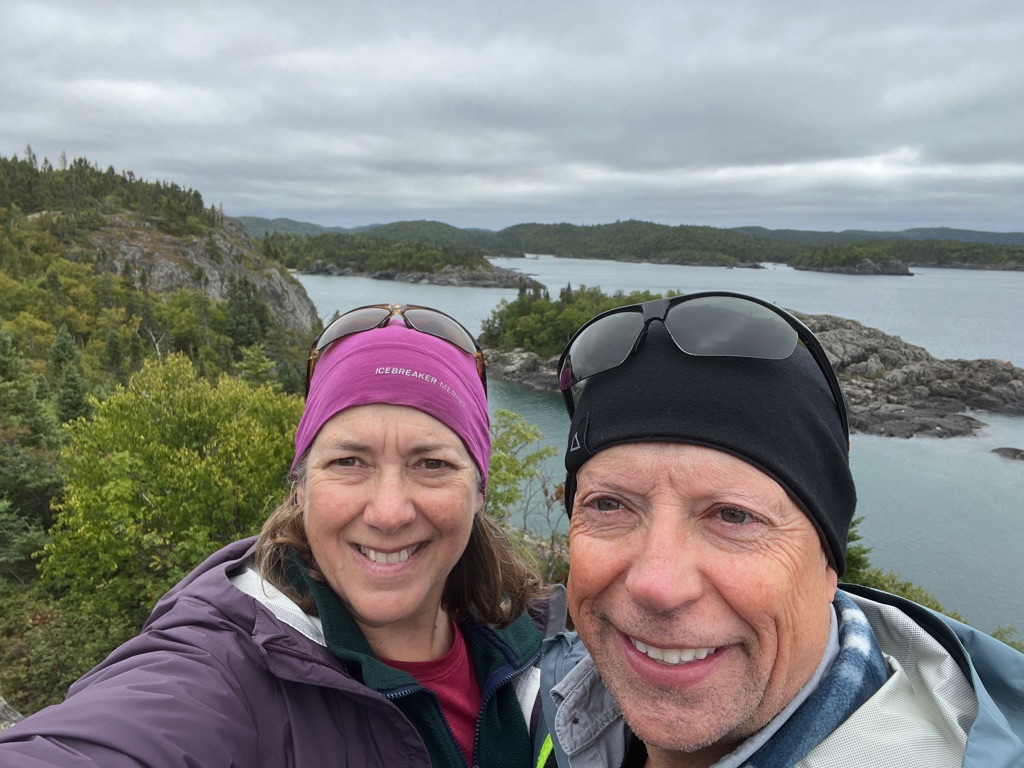
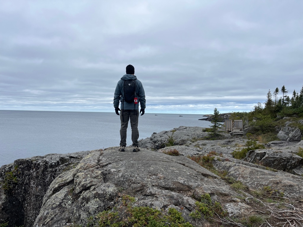
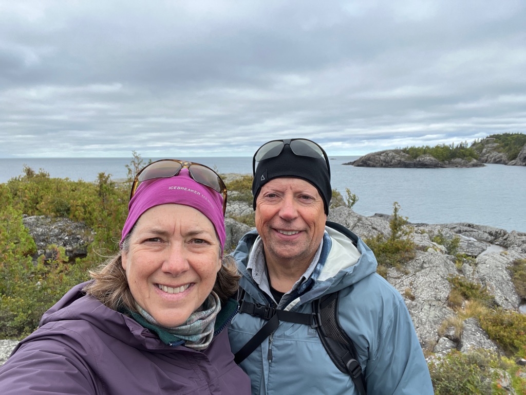
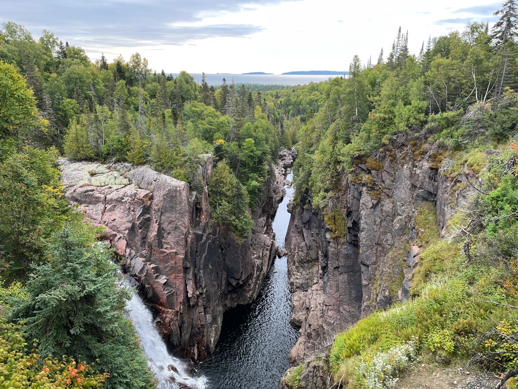
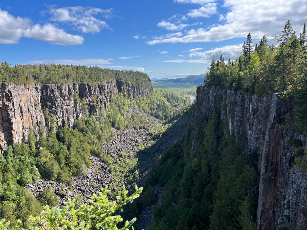
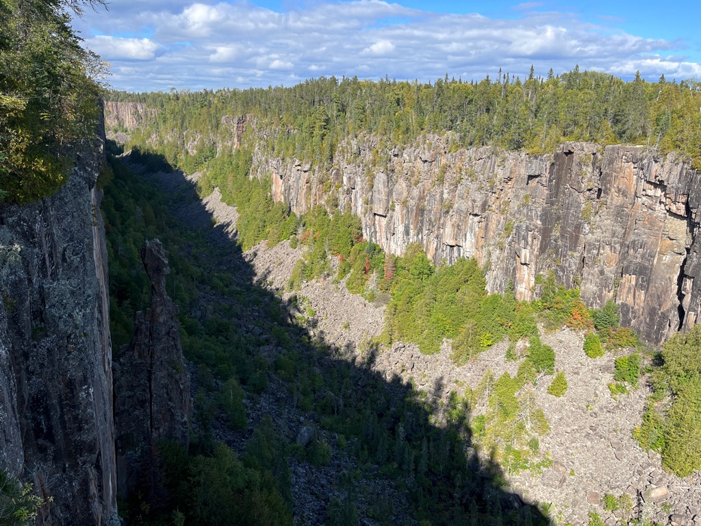
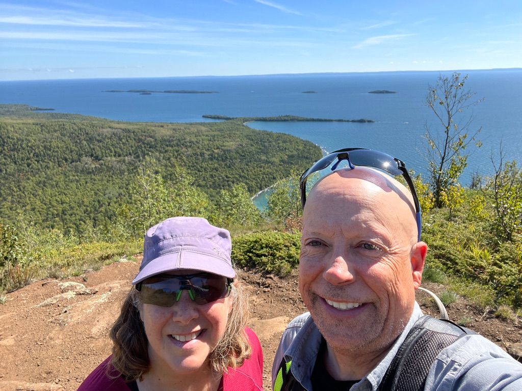
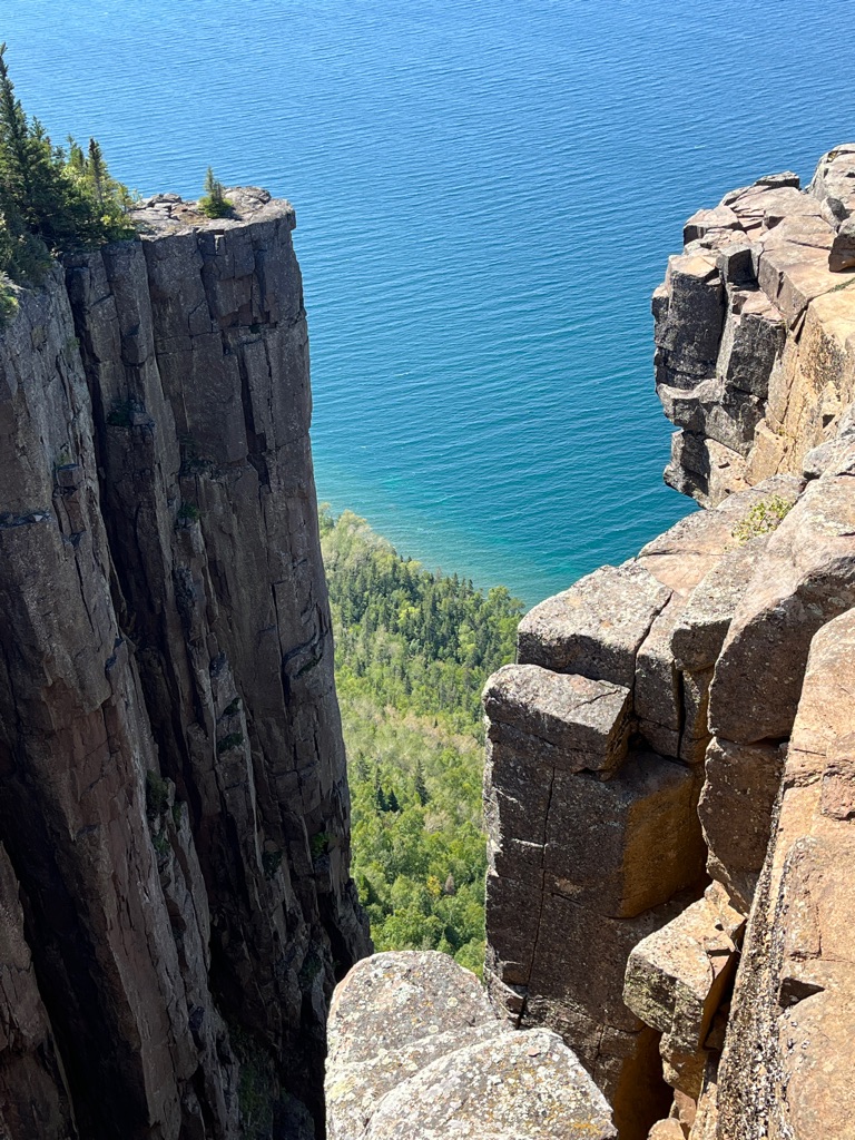
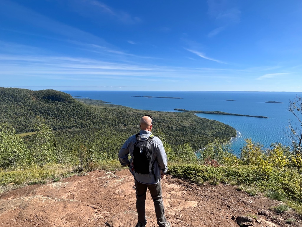
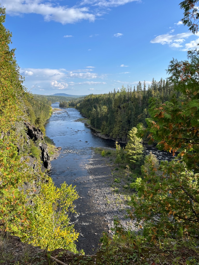
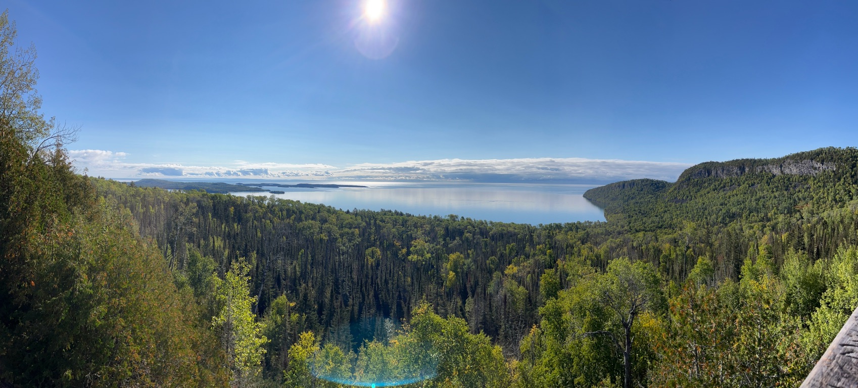
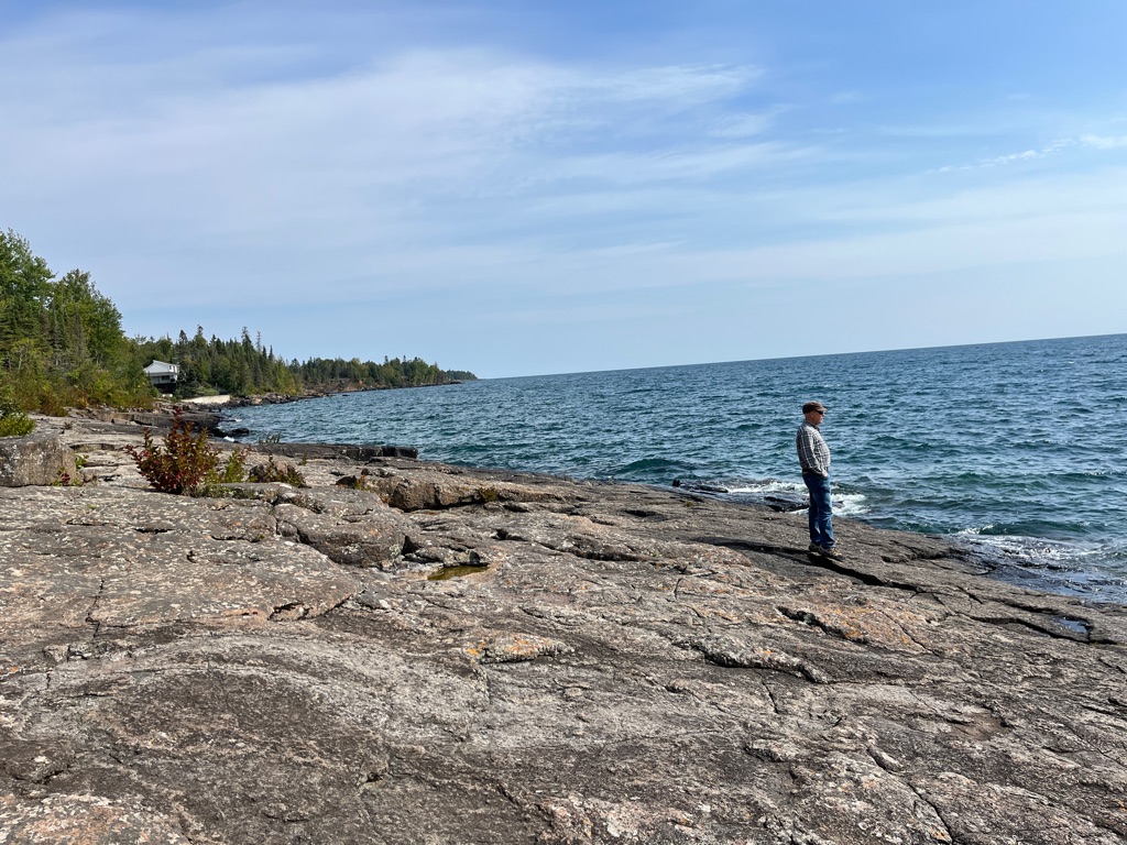
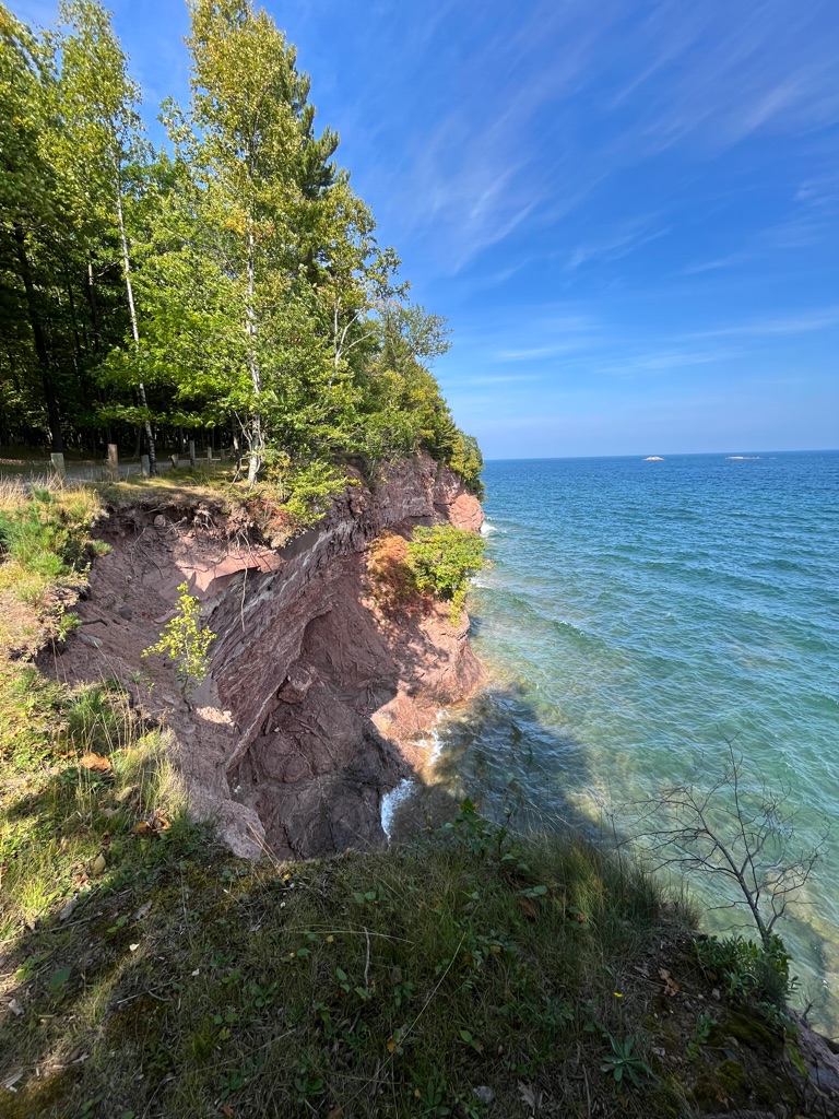
When we finally reached the end the view was definitely worth it. Magnificent views of the sheer cliffs of the Sleeping Giant! We were standing on his head.
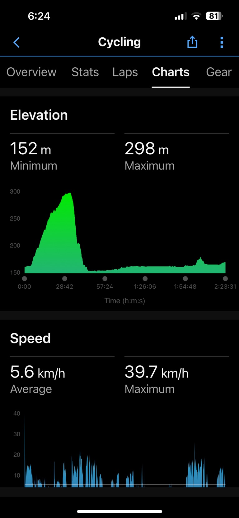
Our total bike distance return was 25 km.
Our total hike was 11 km return
Elevation gain was 400 meters
Total adventure time 7.5 hours
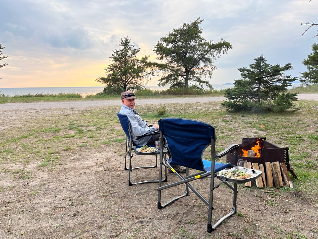
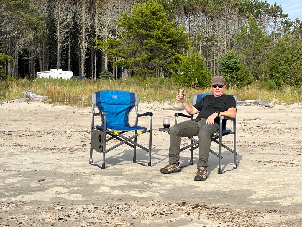
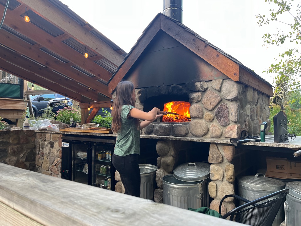
As we sit here around the fire wishing we had our hot tub close by we can reflect on the day. \240The hike was challenging but we feel very accomplished that we were able to complete it. We passed one young guy who said his knees were killing him and another that said he almost died on the way up. Some times you need to get out of your comfort zone to see what you are capable of. Obviously the young gal at the Gate house had thought we were capable.
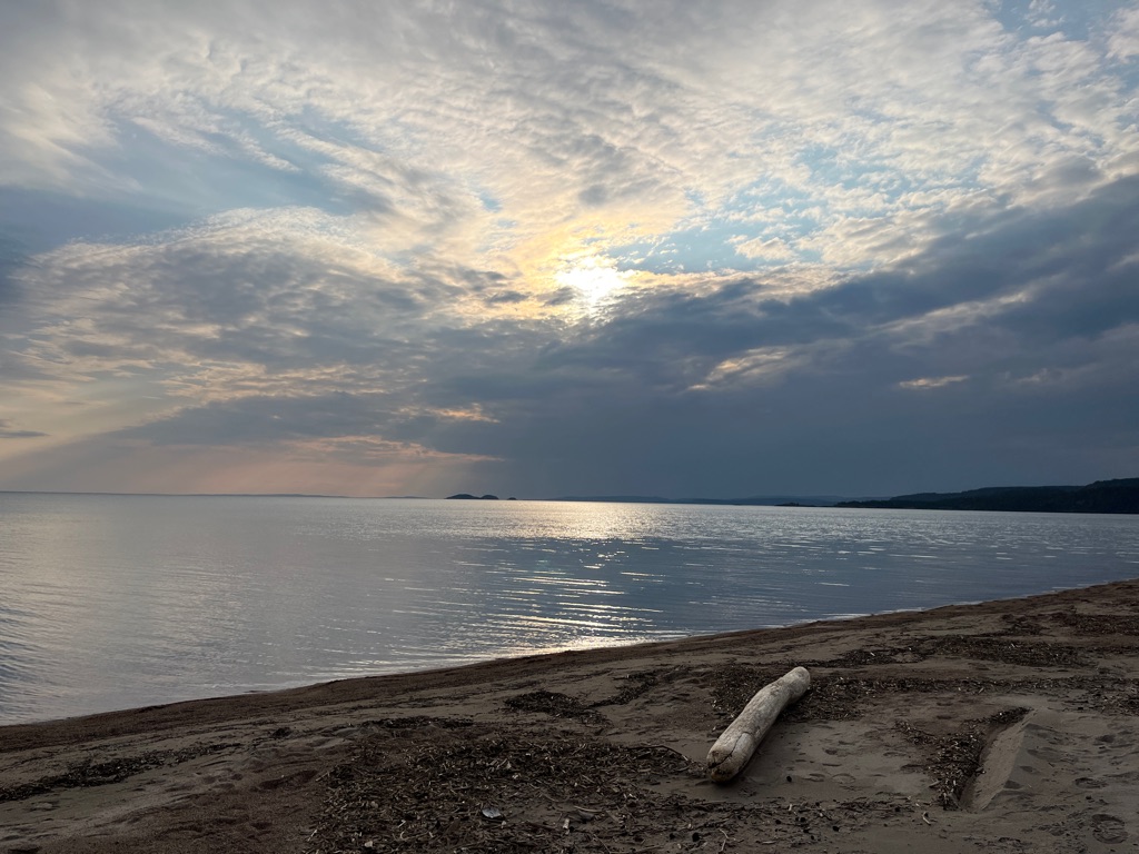
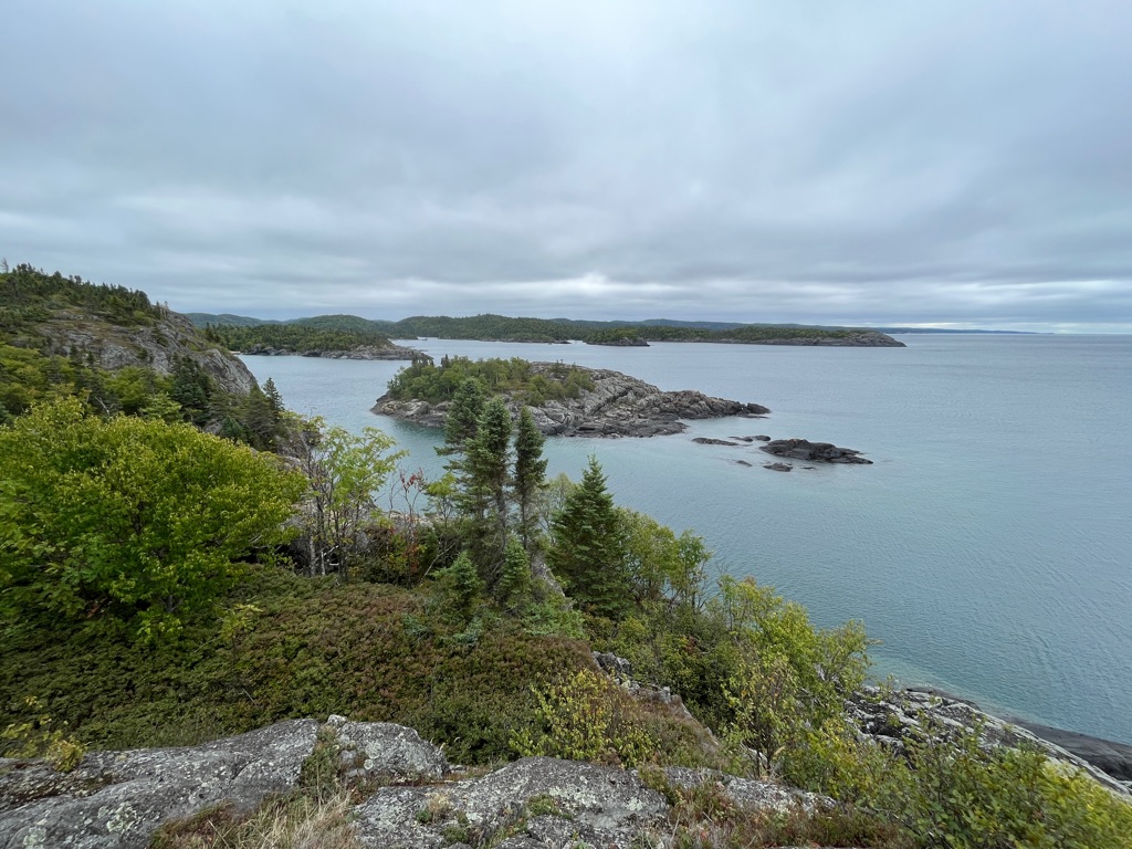
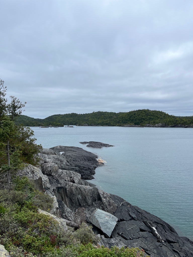
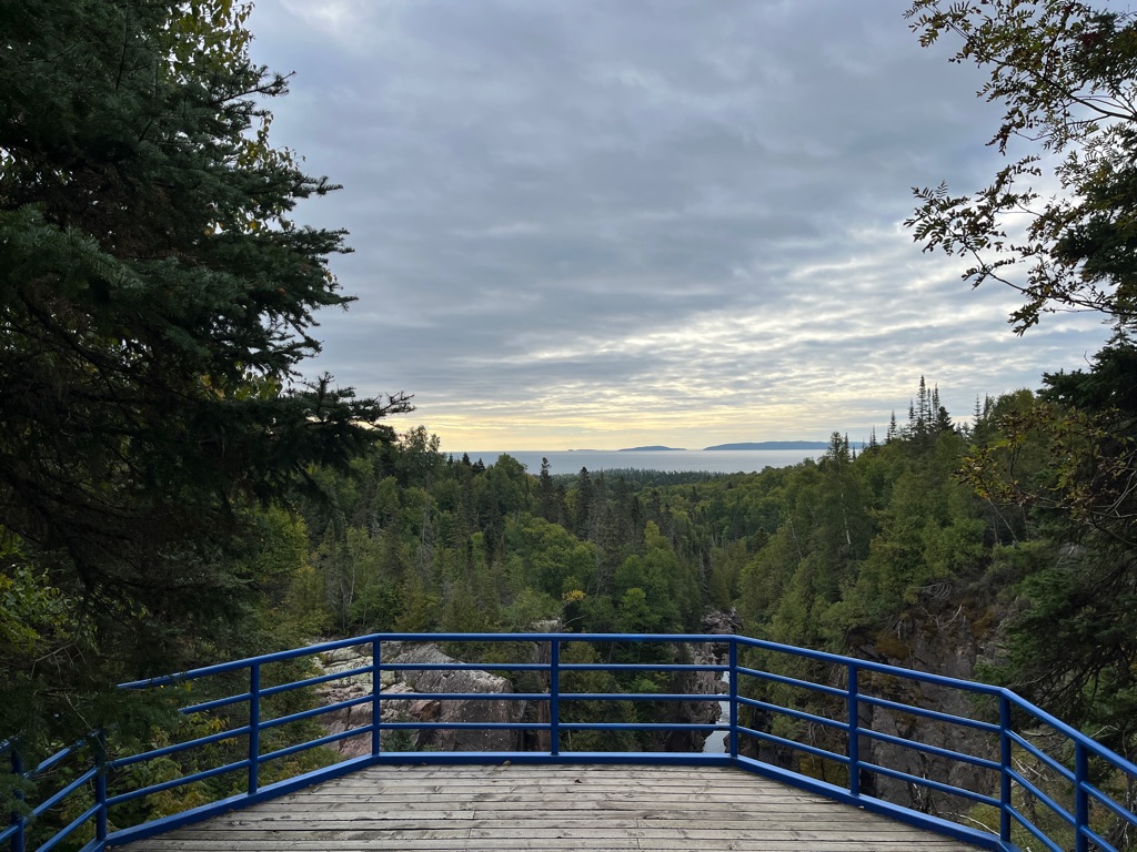
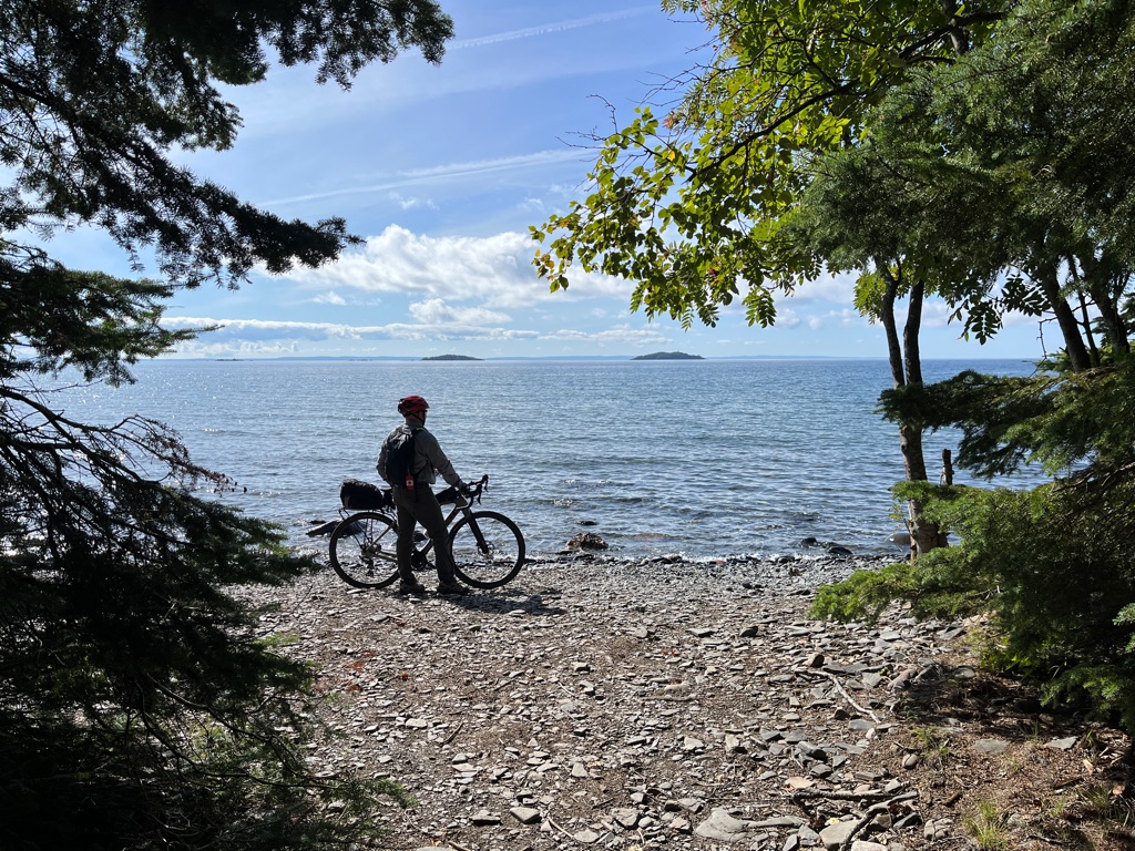
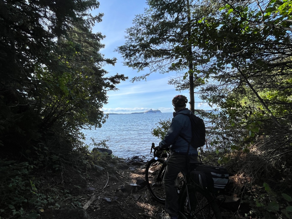
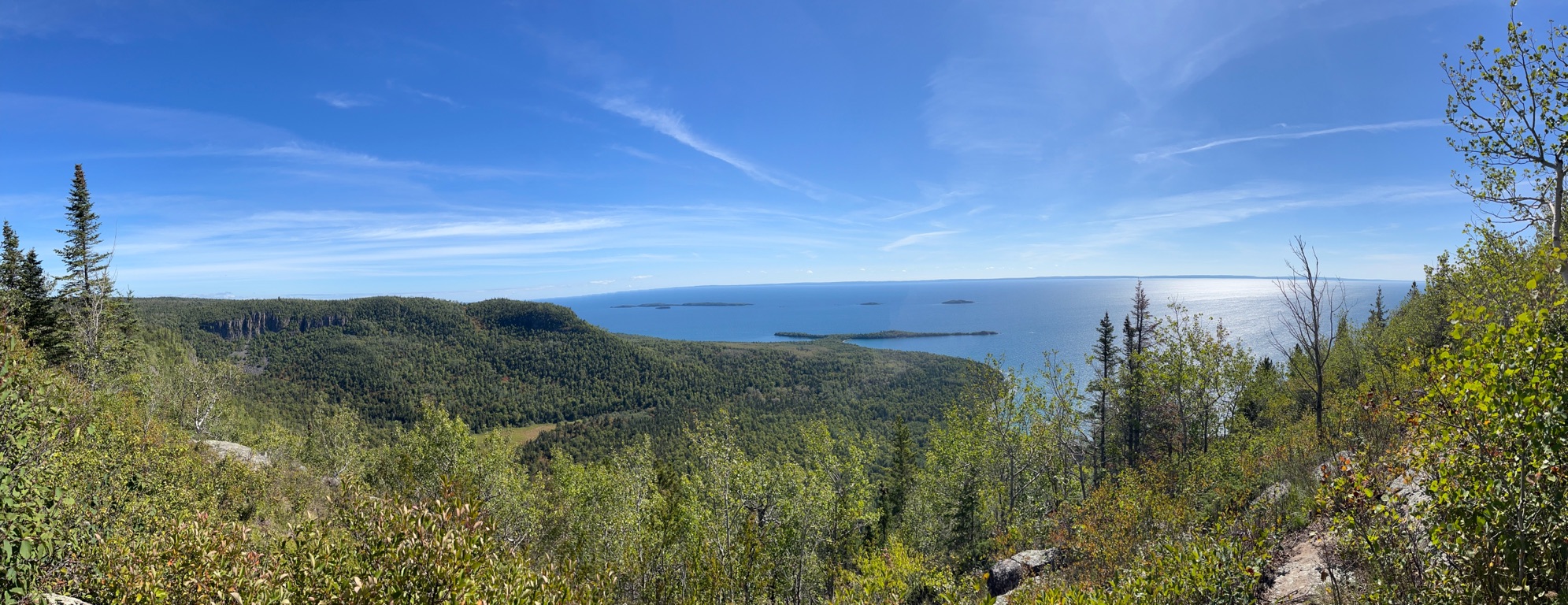
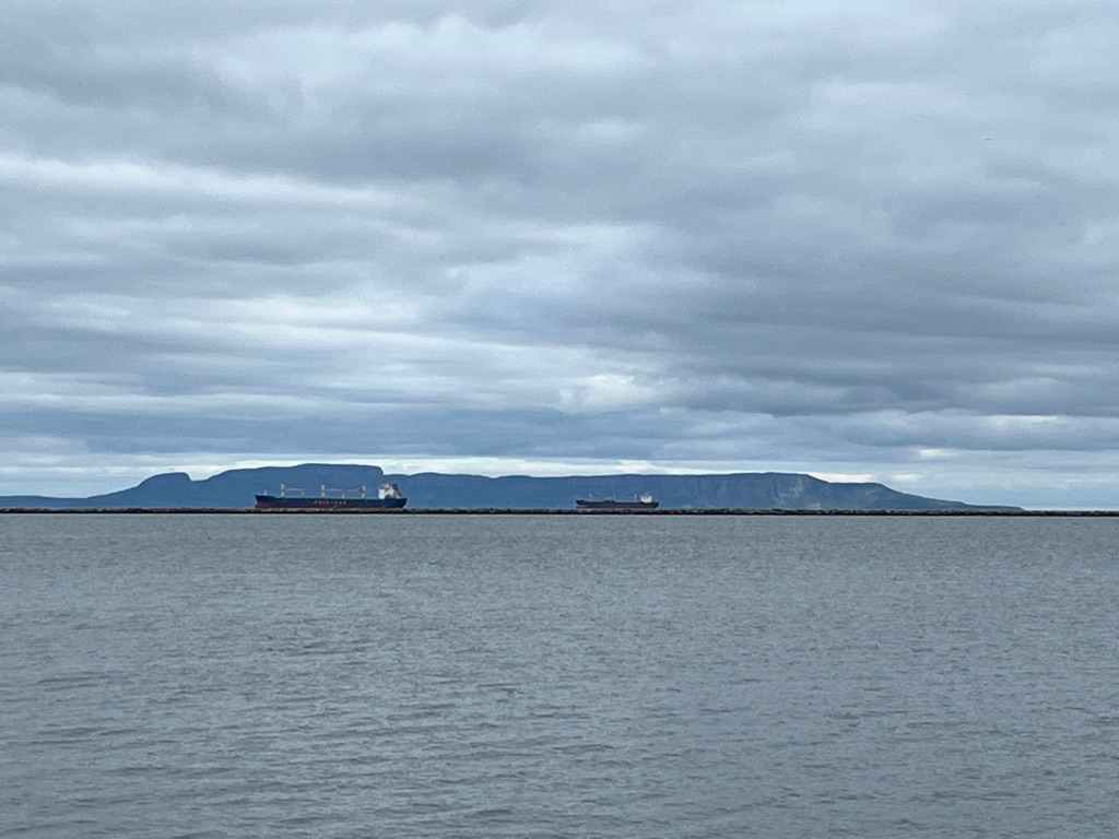
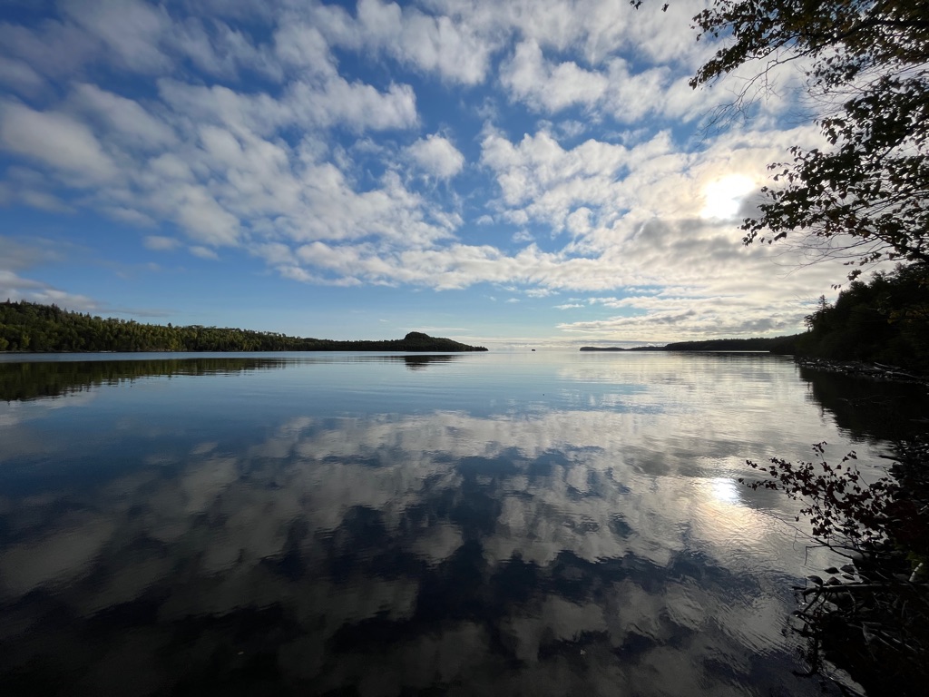
If you look you can see a cruise ship in the bay.
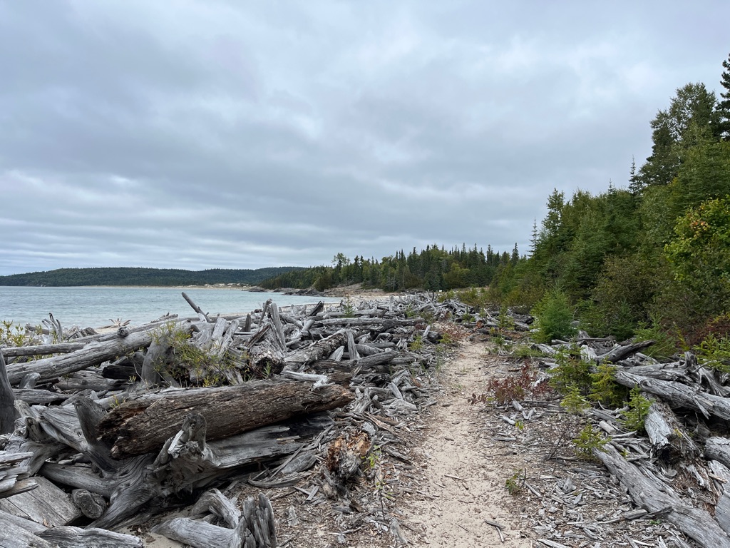
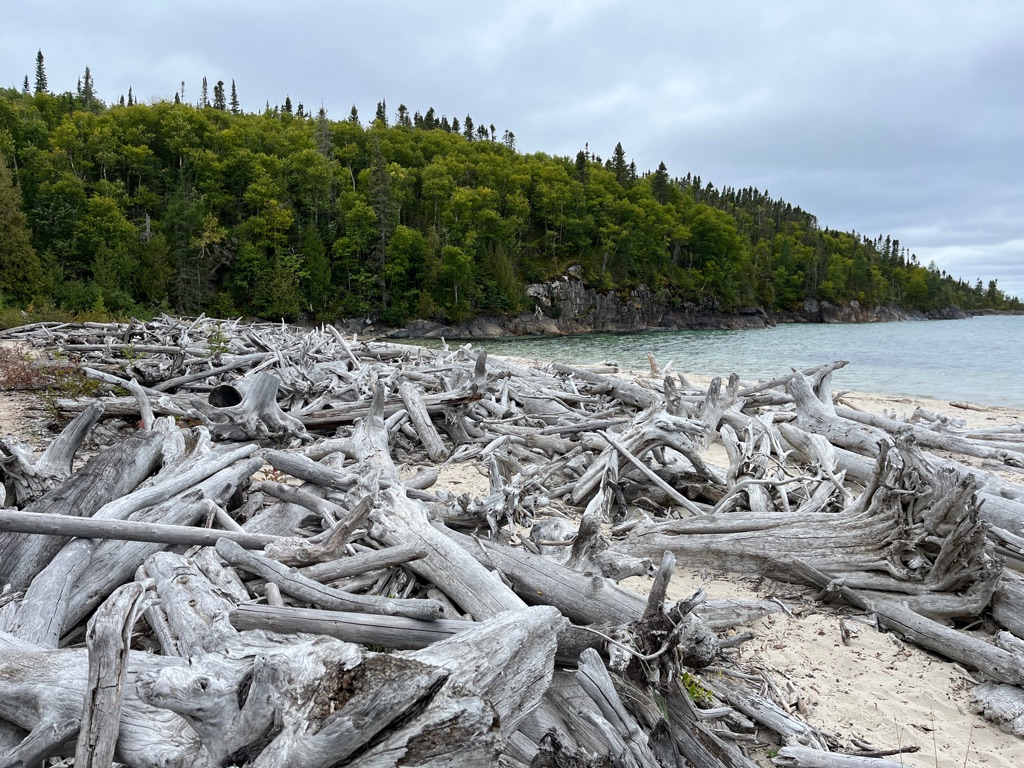
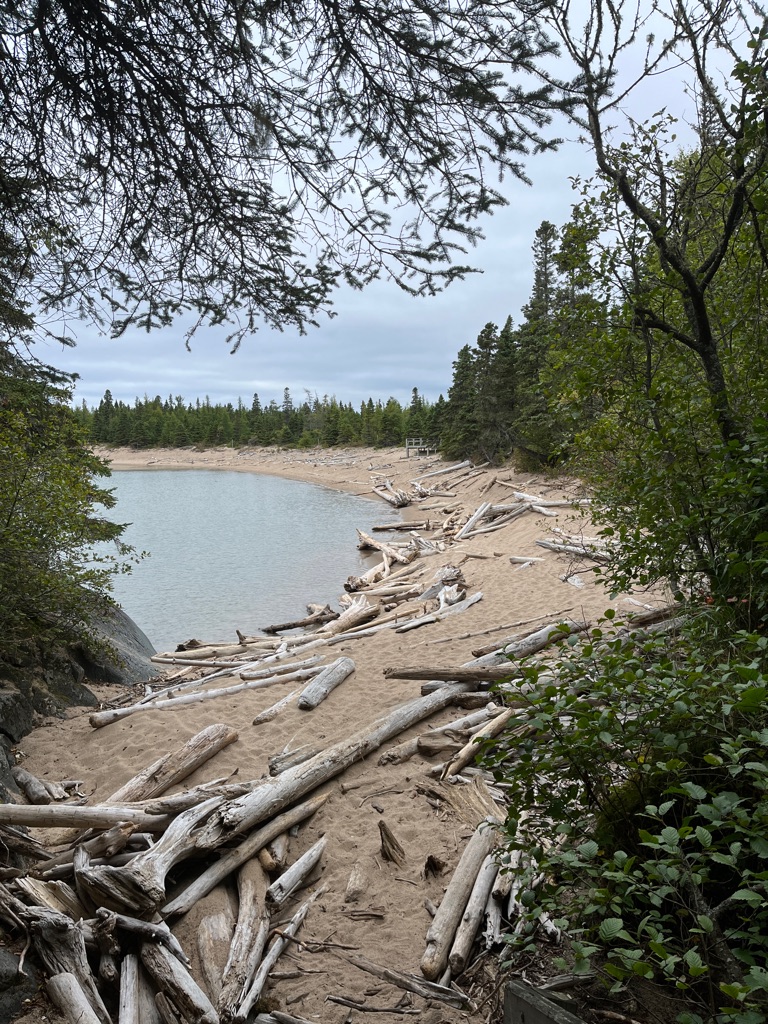
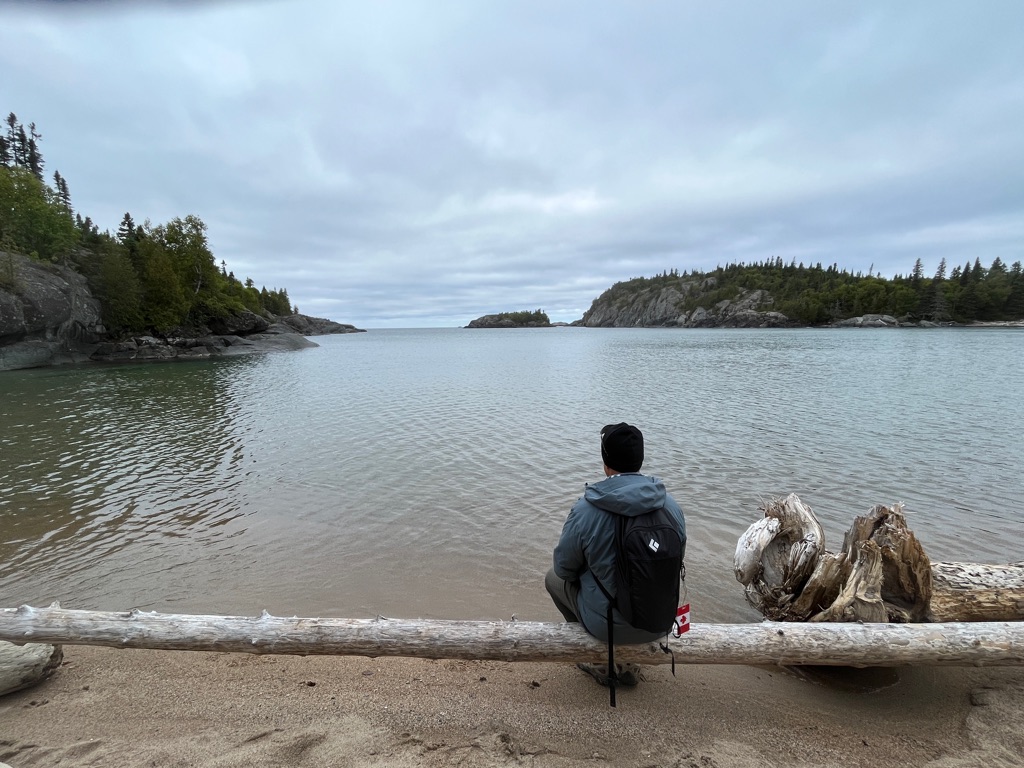
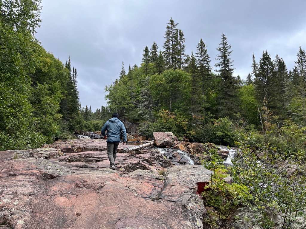
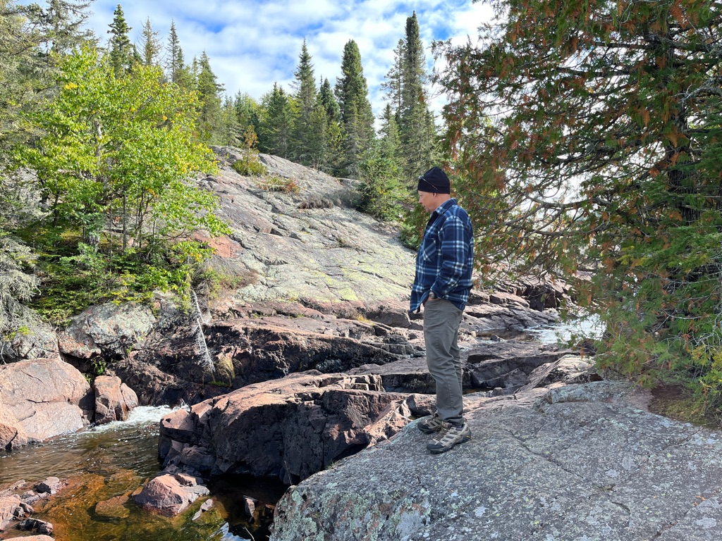
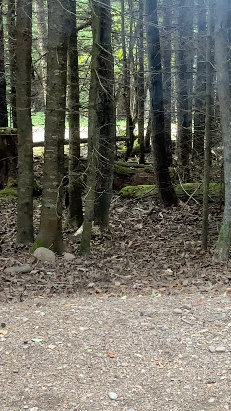
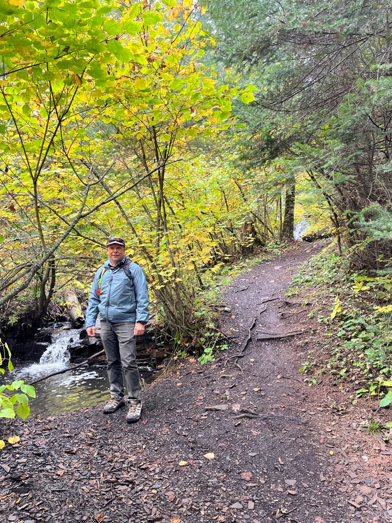
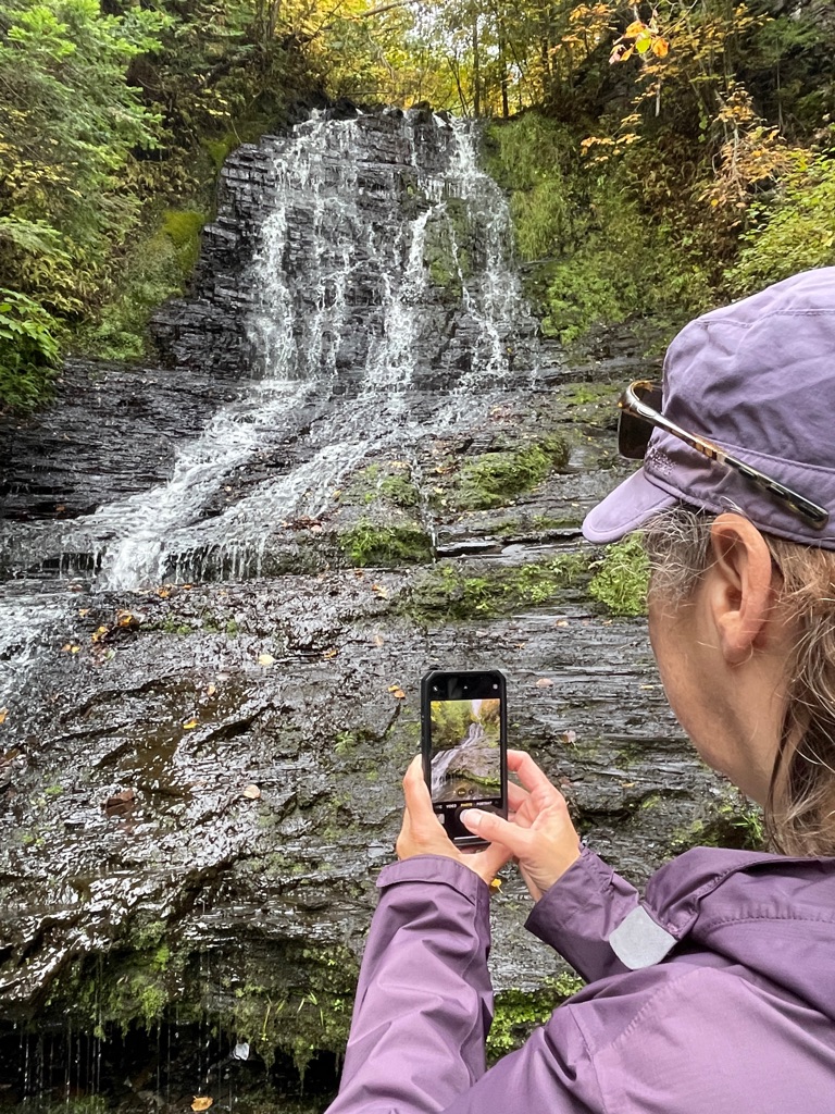
This is where we had lunch and thought we were at the end.
On the way back down, rocks, roots and make shift stairs.
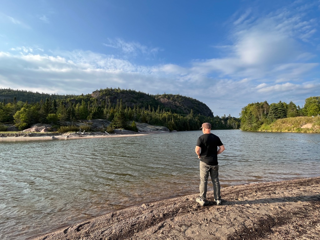
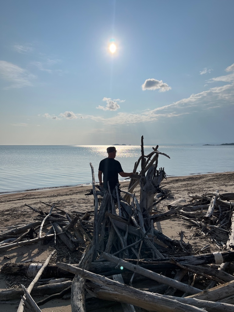
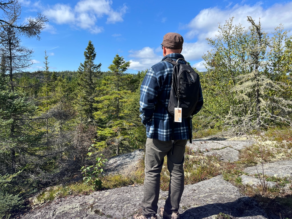
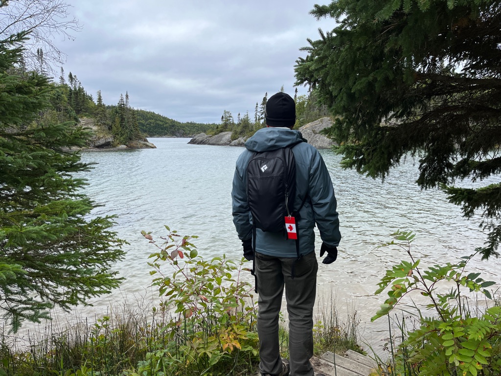
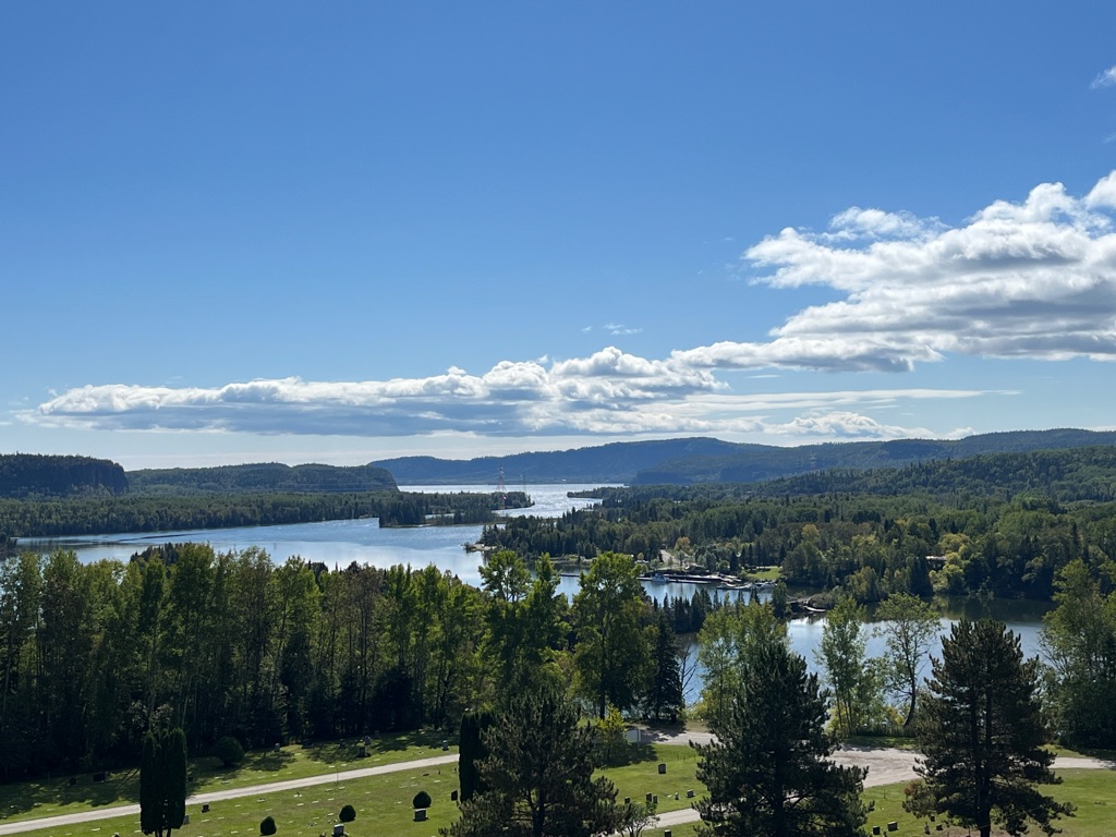
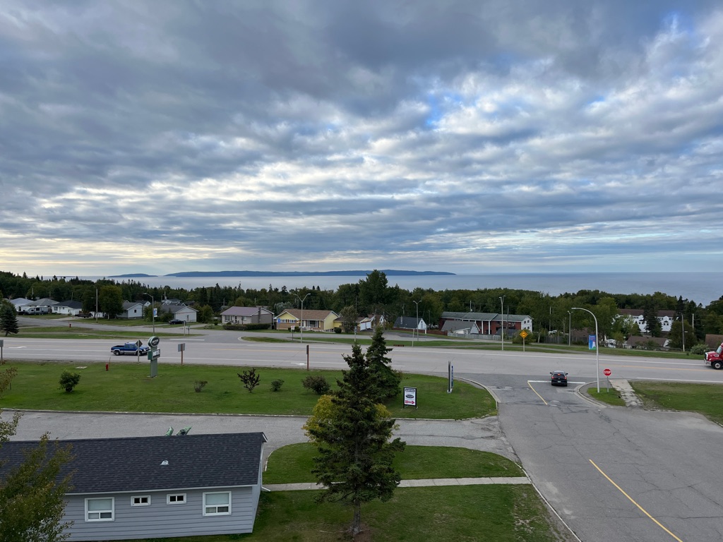
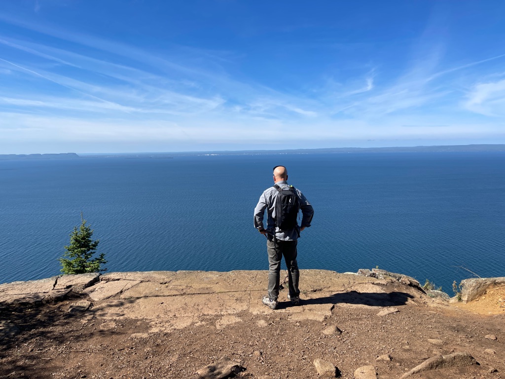
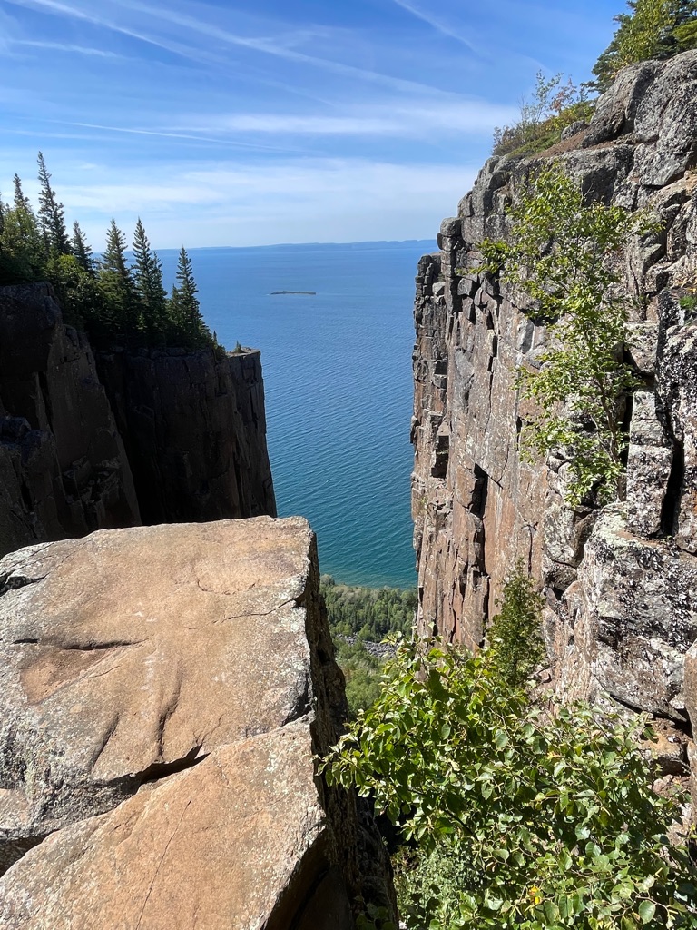
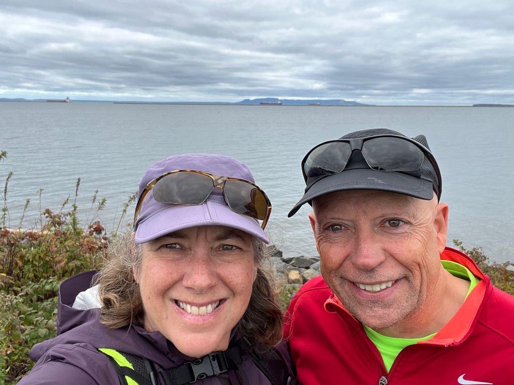
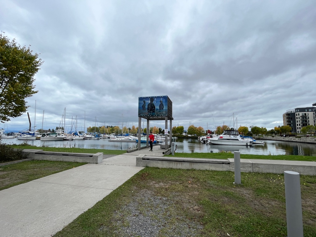
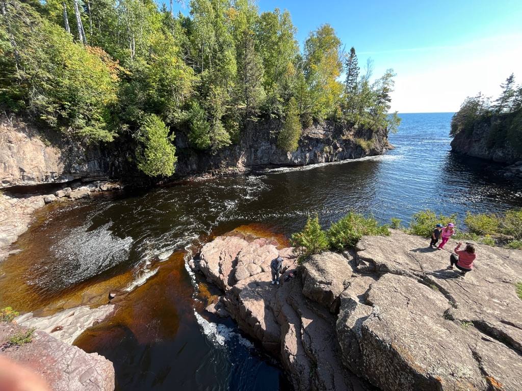
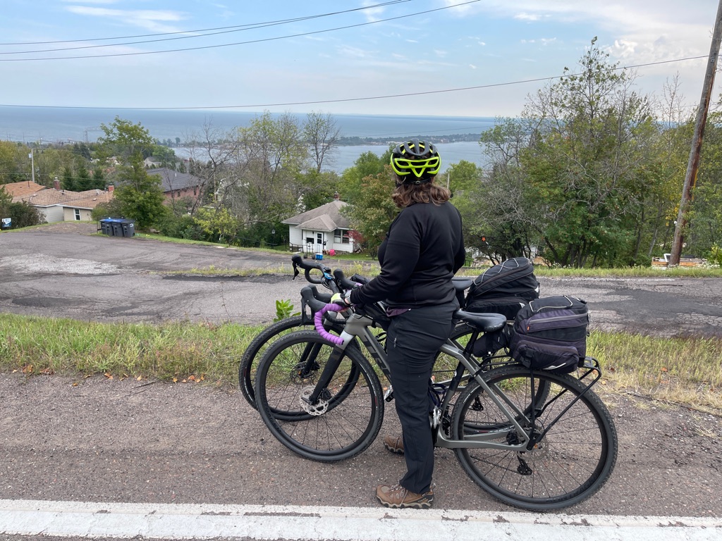
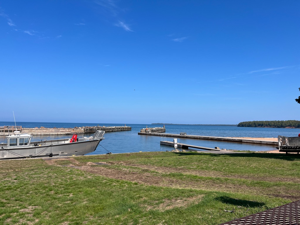
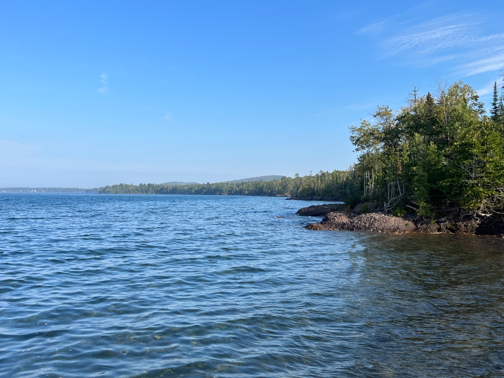
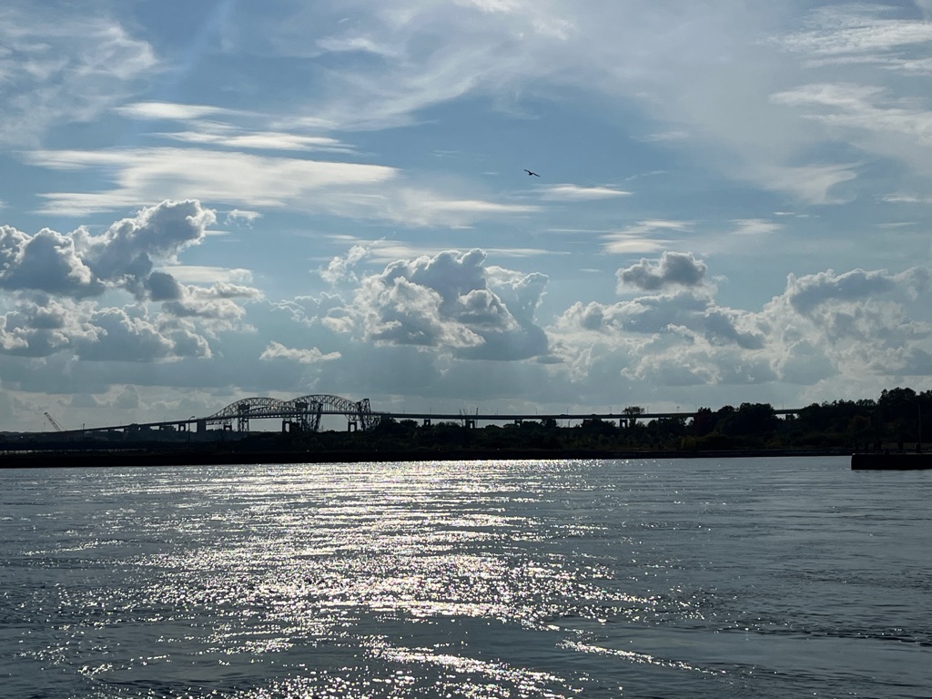
Looking out at Thunder Bay in the distance.
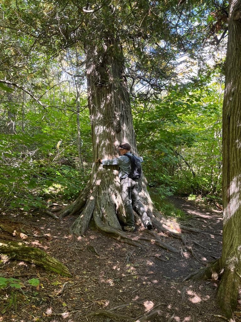
Now that’s a big cedar. Ed wanted to take it home.
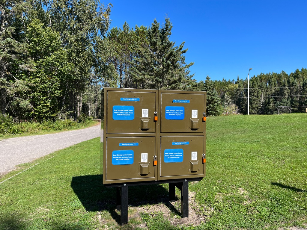
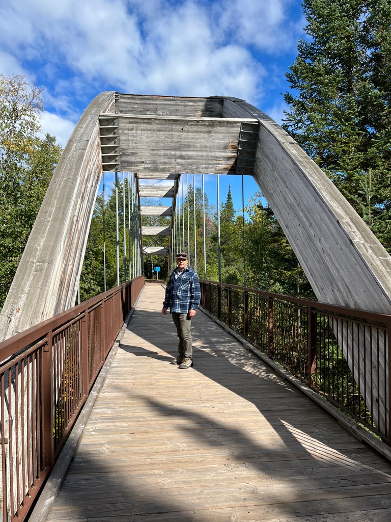
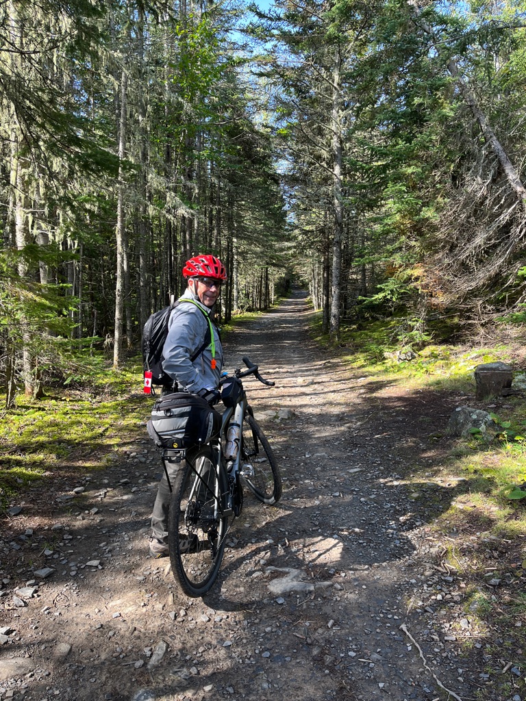
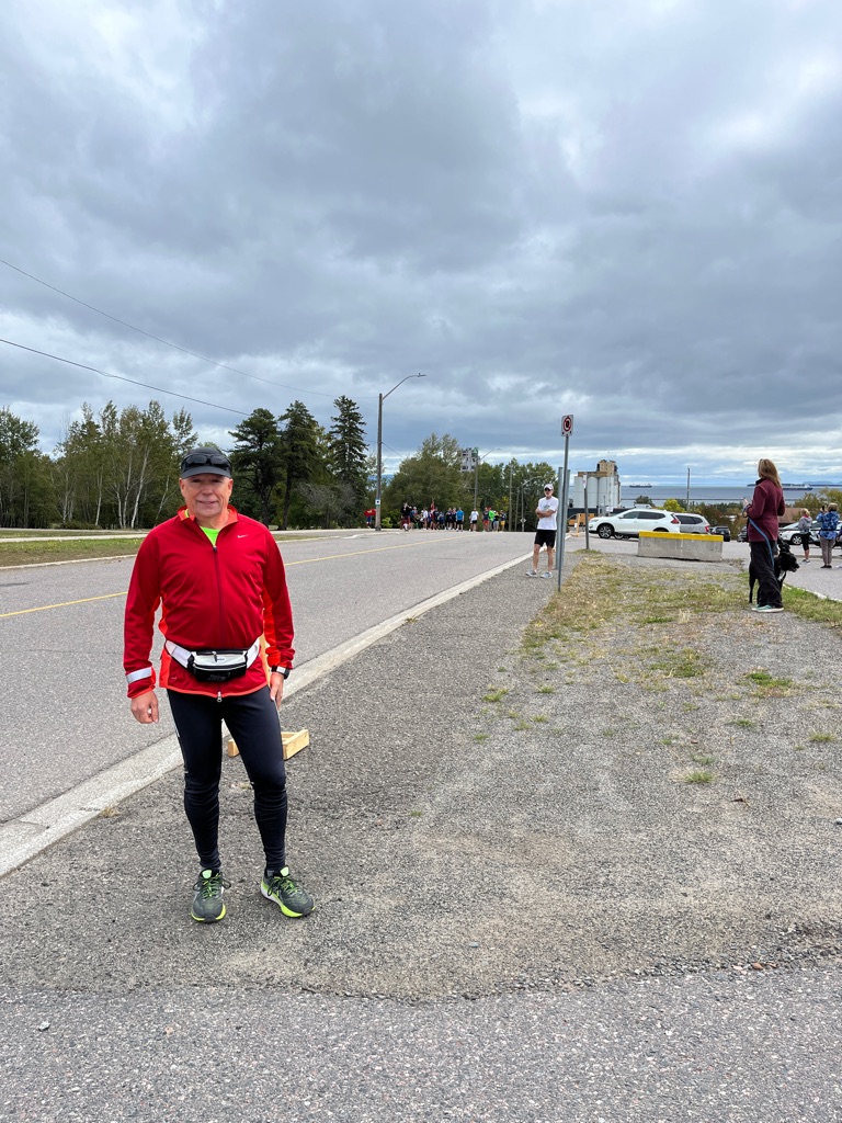
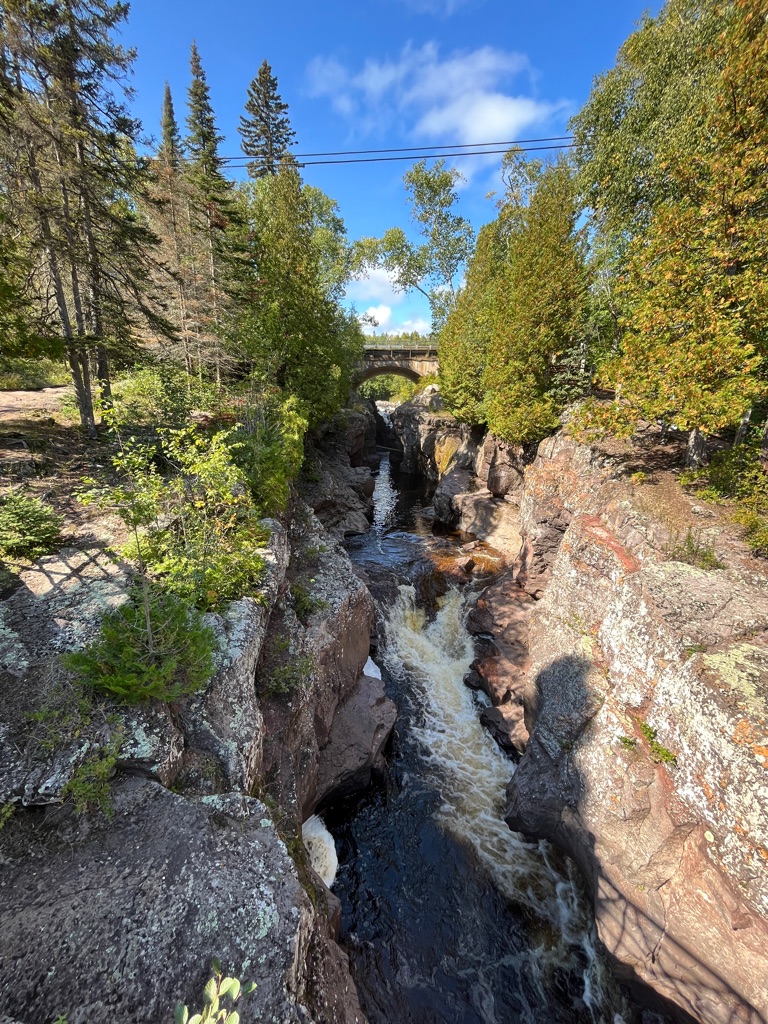
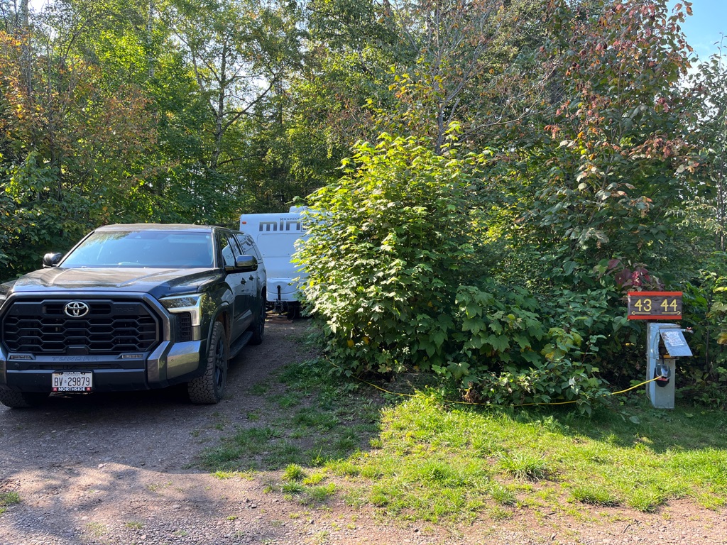
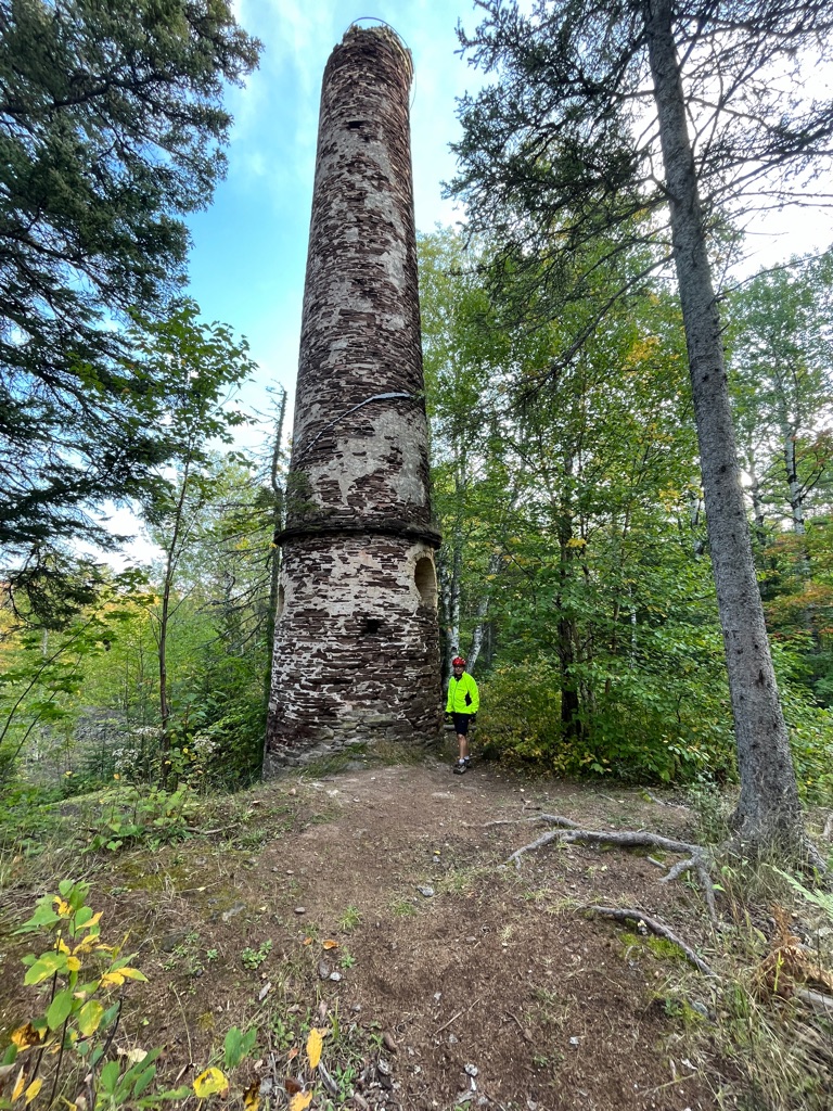
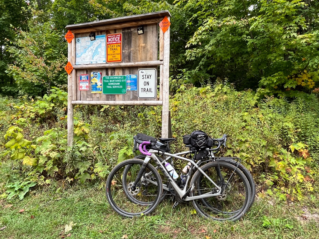
Securing the bikes. We weren’t the only ones that rode out. And many people walked the trail this far.
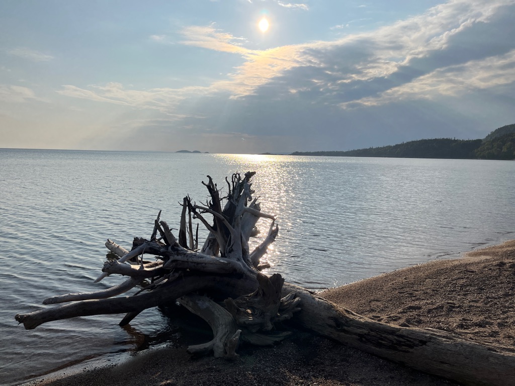
Can you see the cruise ship still off in the distance?
Video: as we sat around the fire this pair I f Pileated Woodpeckers stopped by to see what was going on.
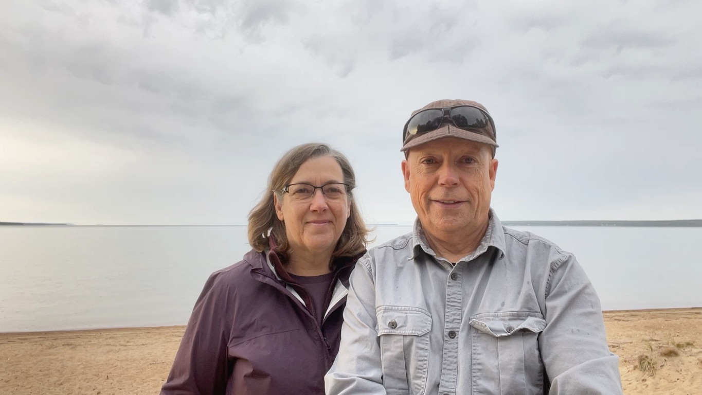
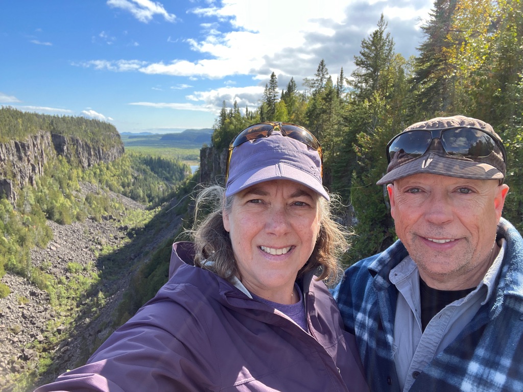
We finally made it to the top!
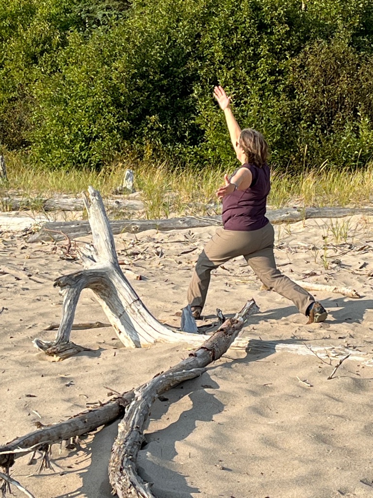
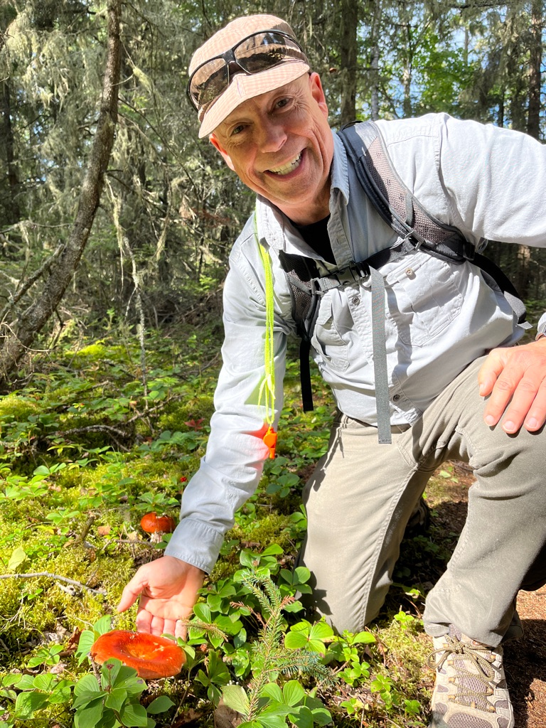
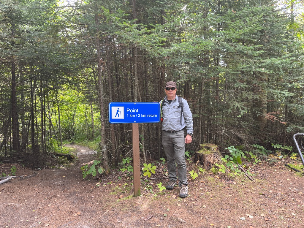
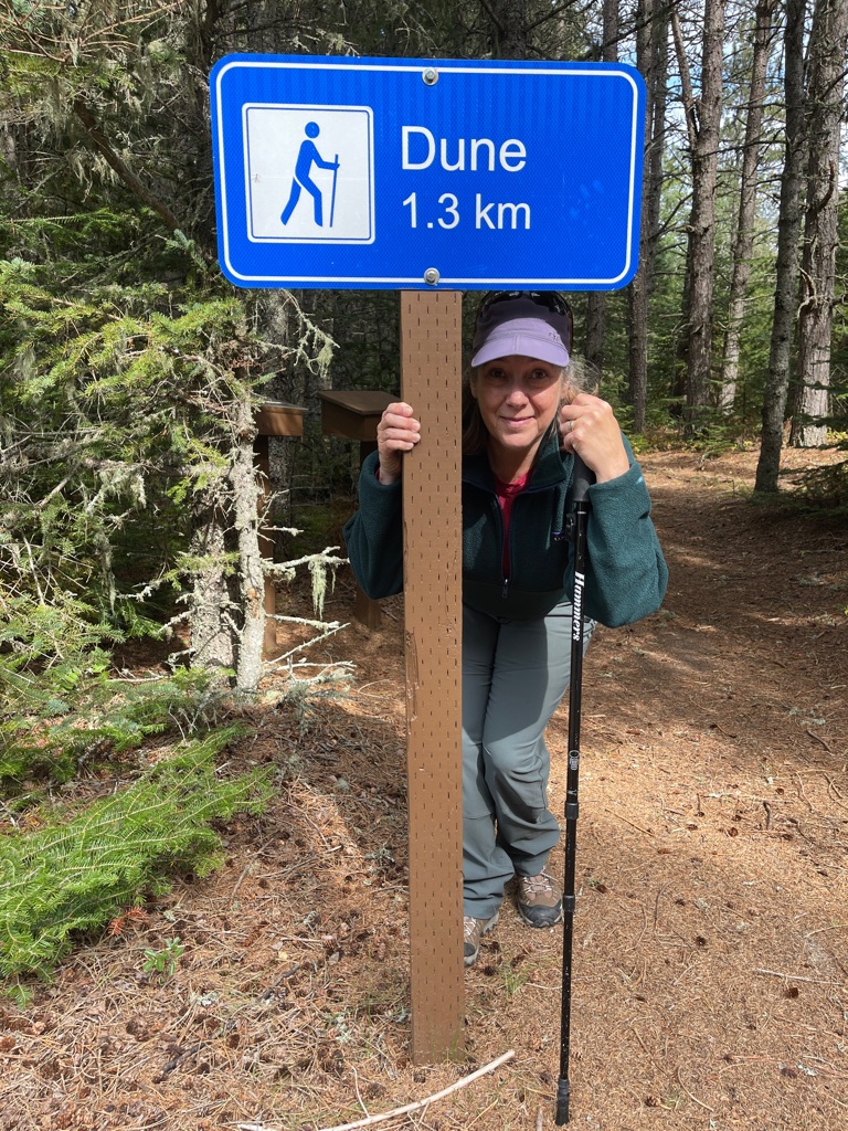
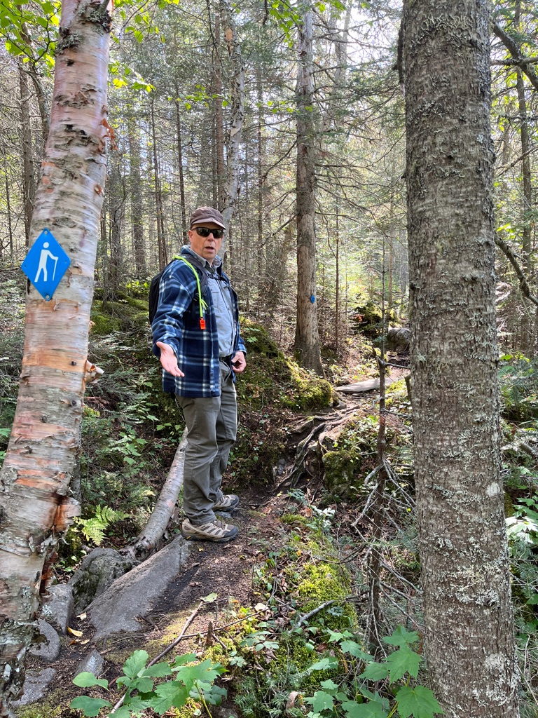
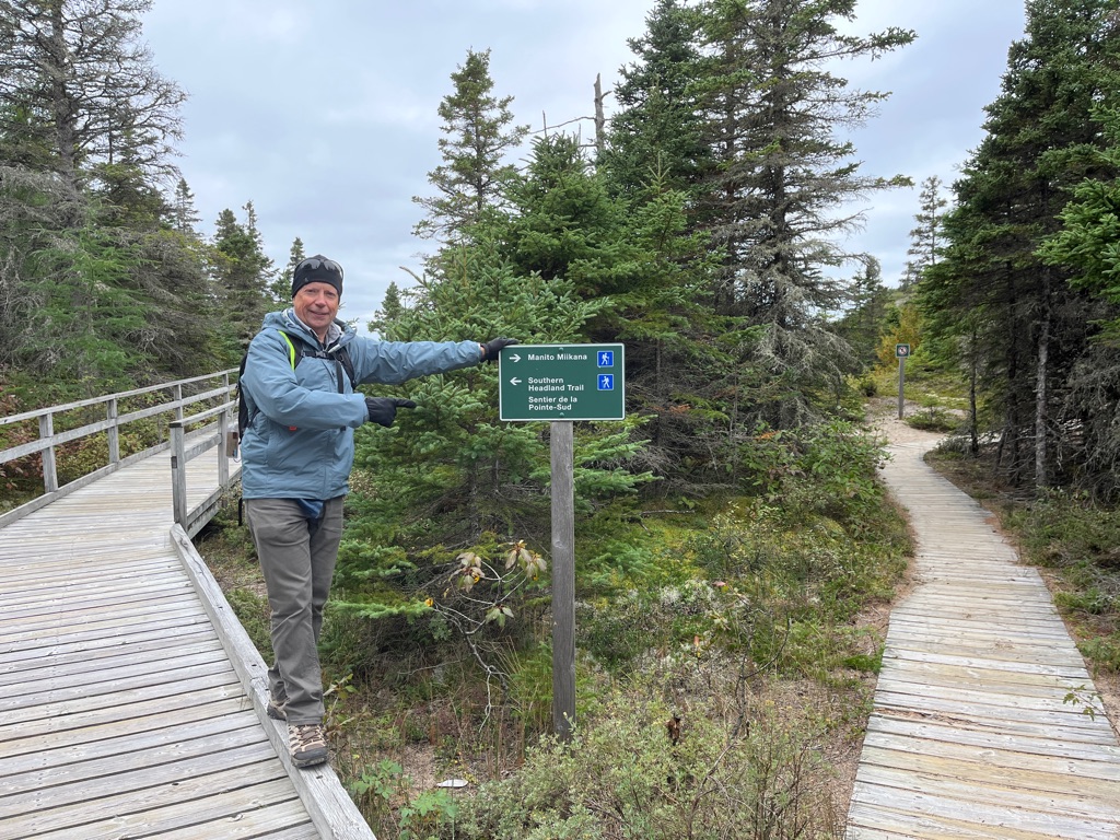
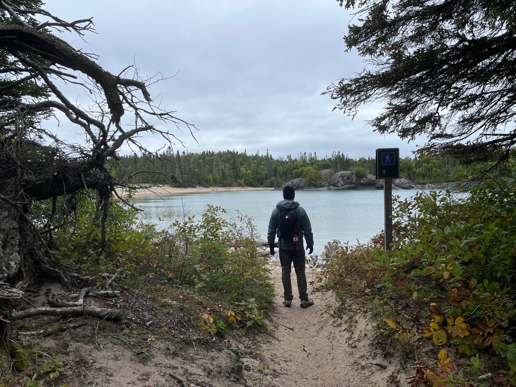
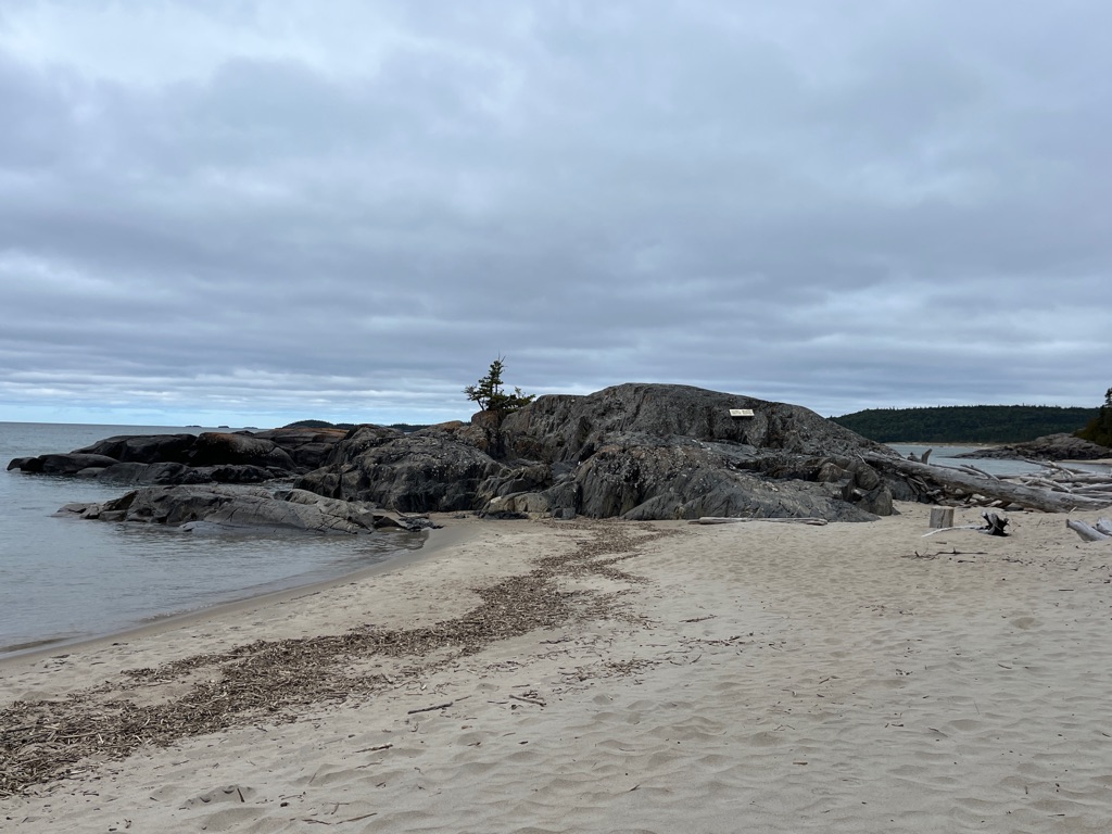
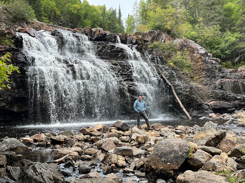
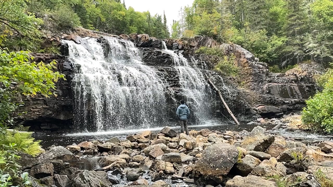
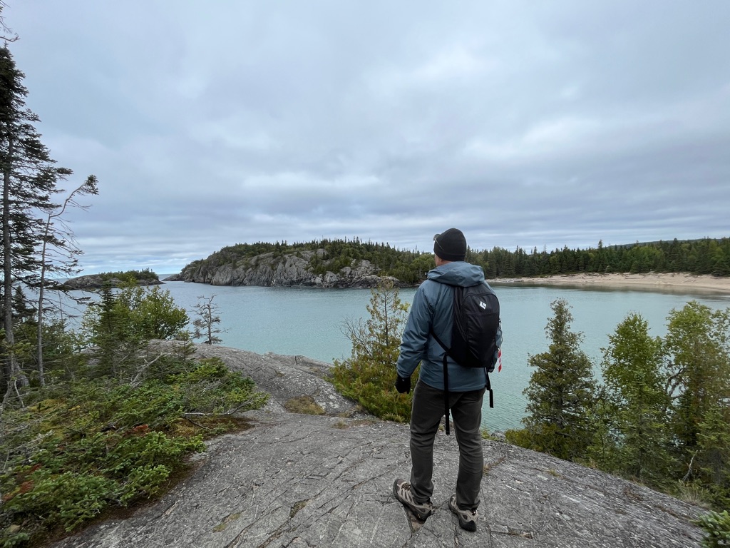
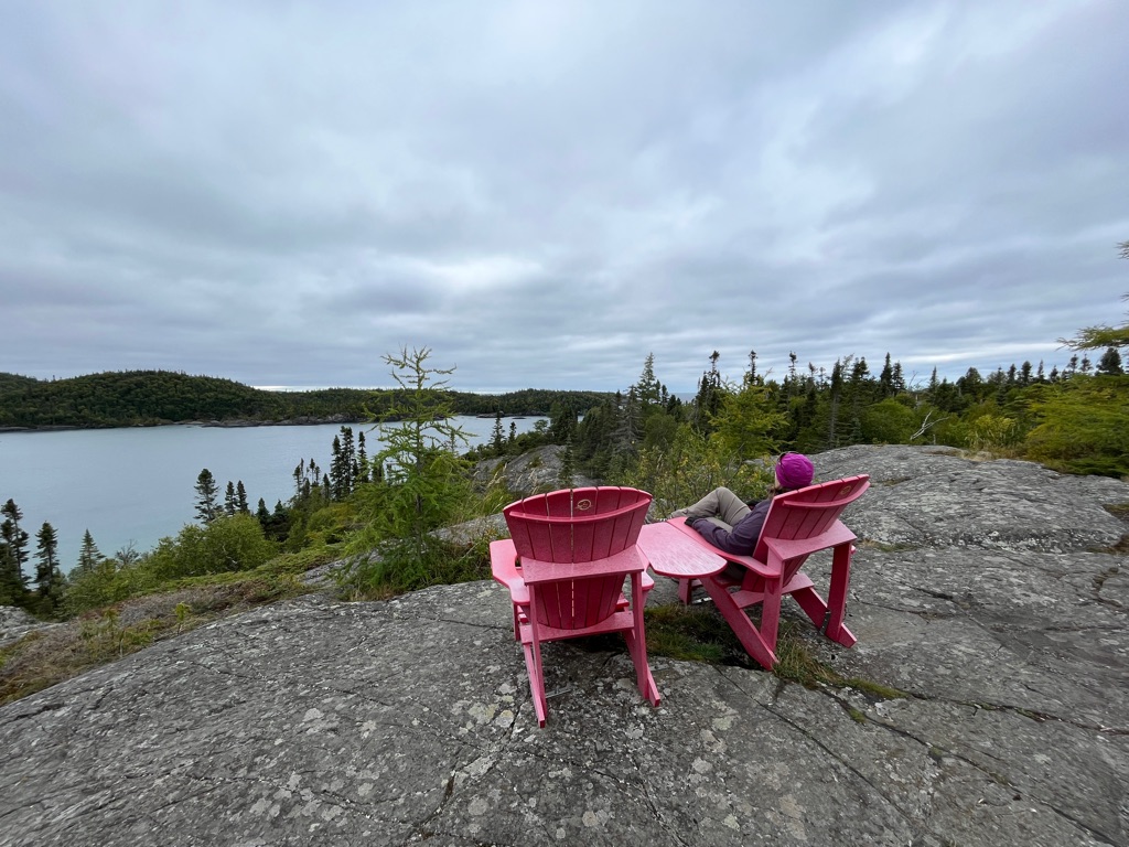
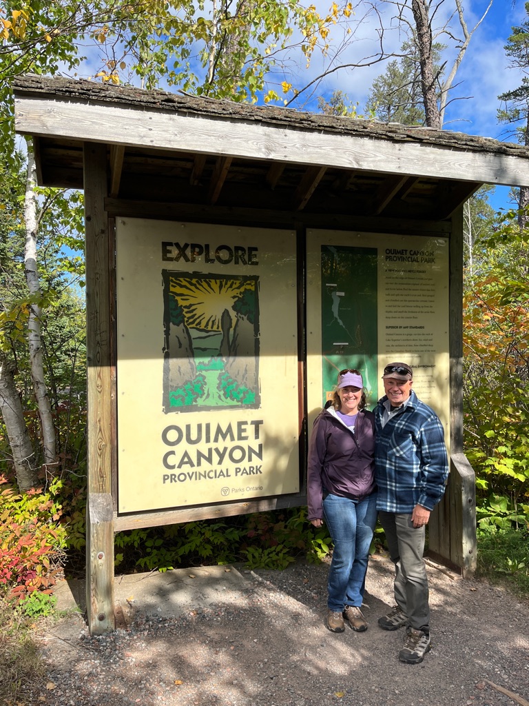
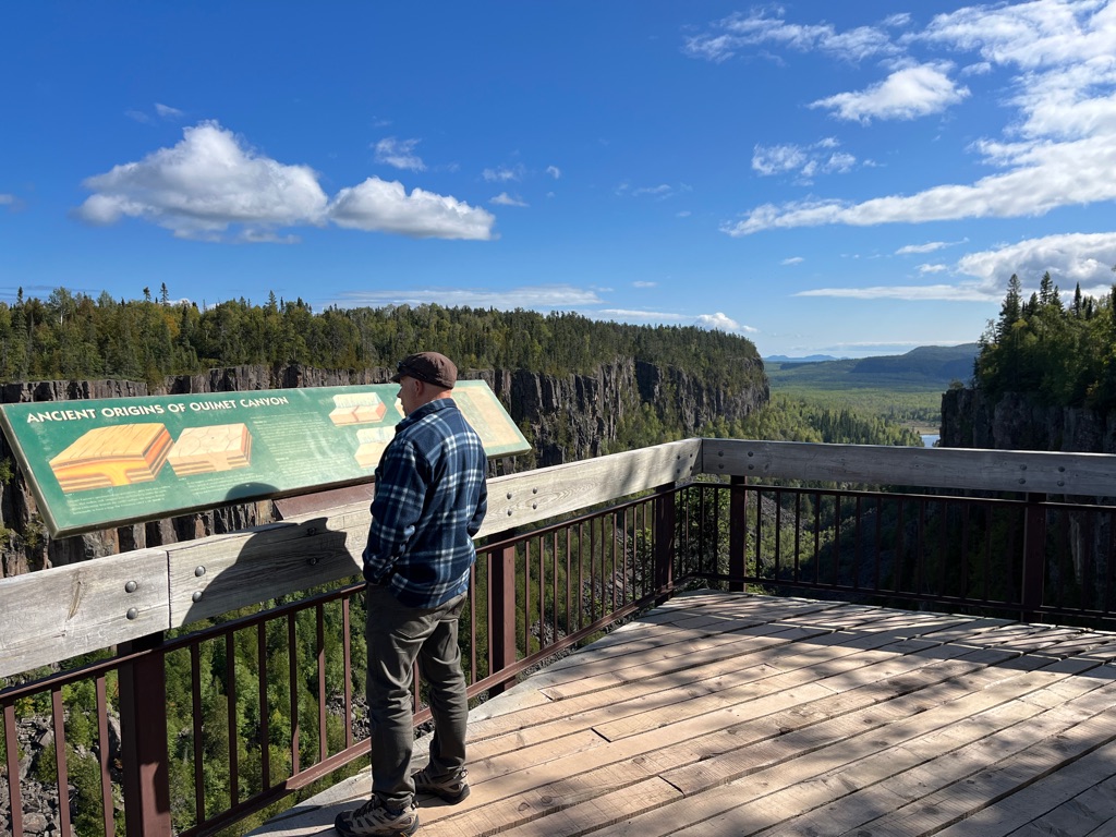
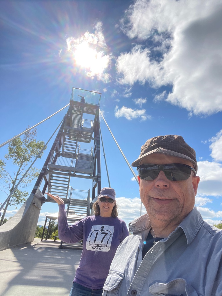
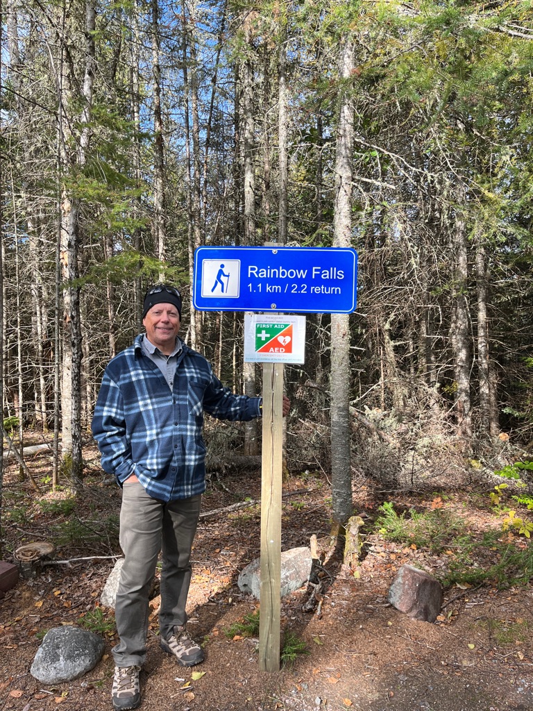
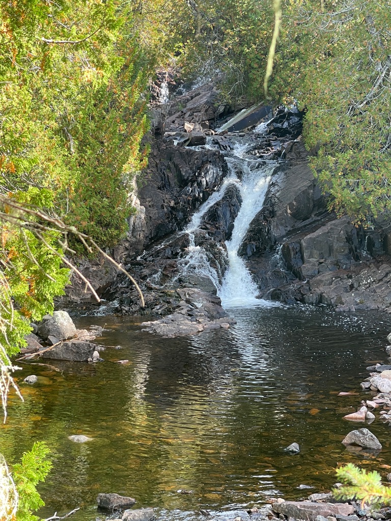
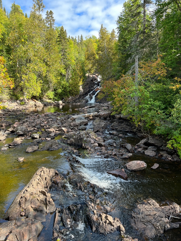
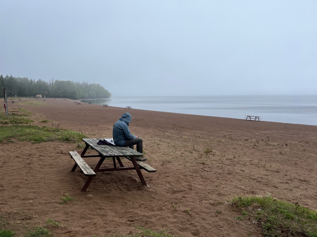
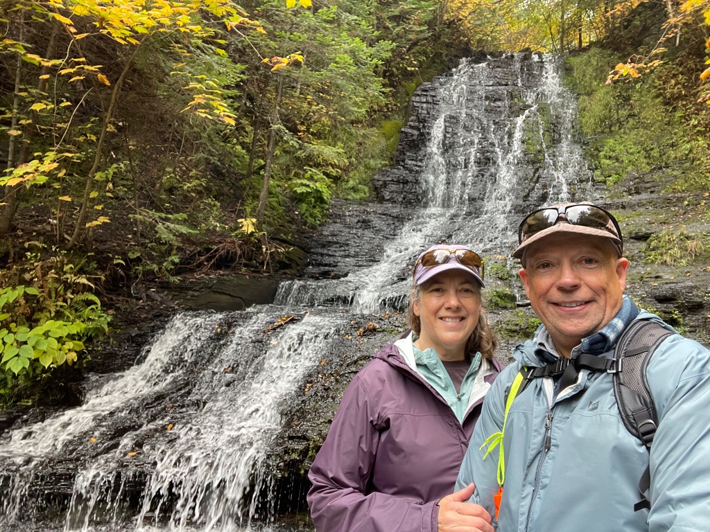
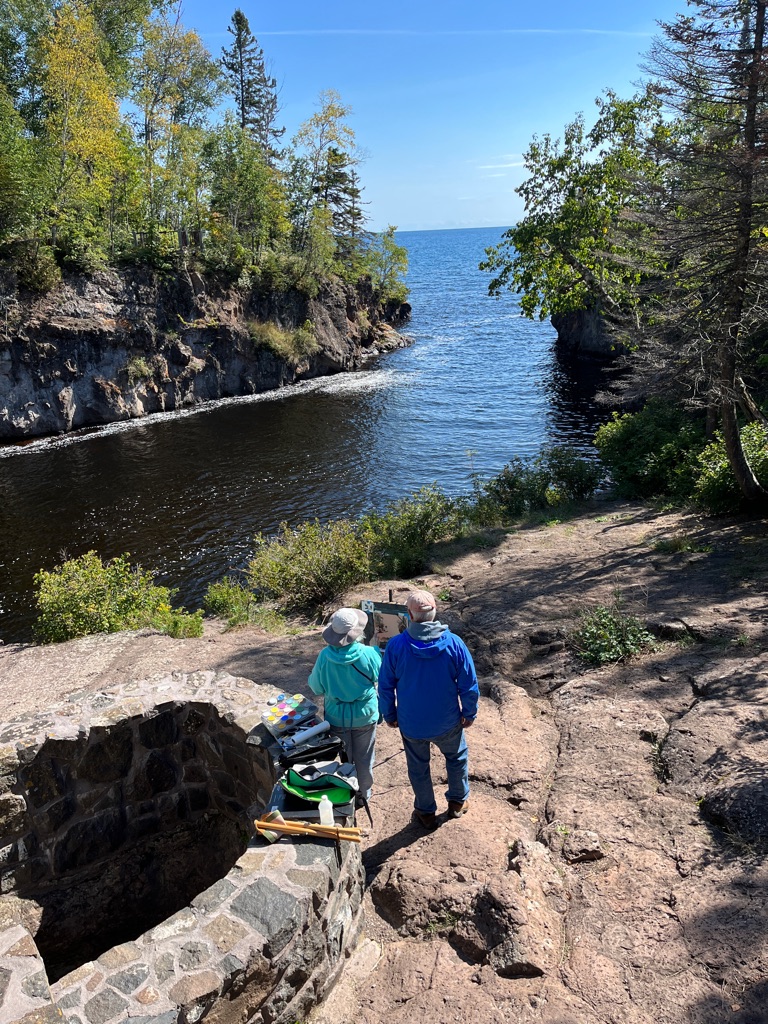
Yes, we did stop to hike one more short trail.
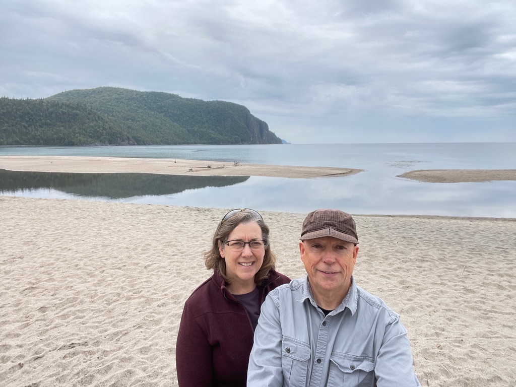
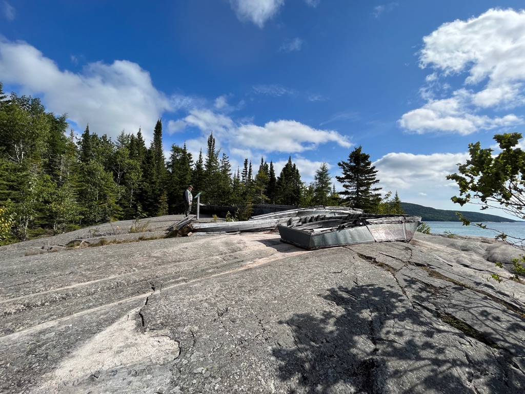
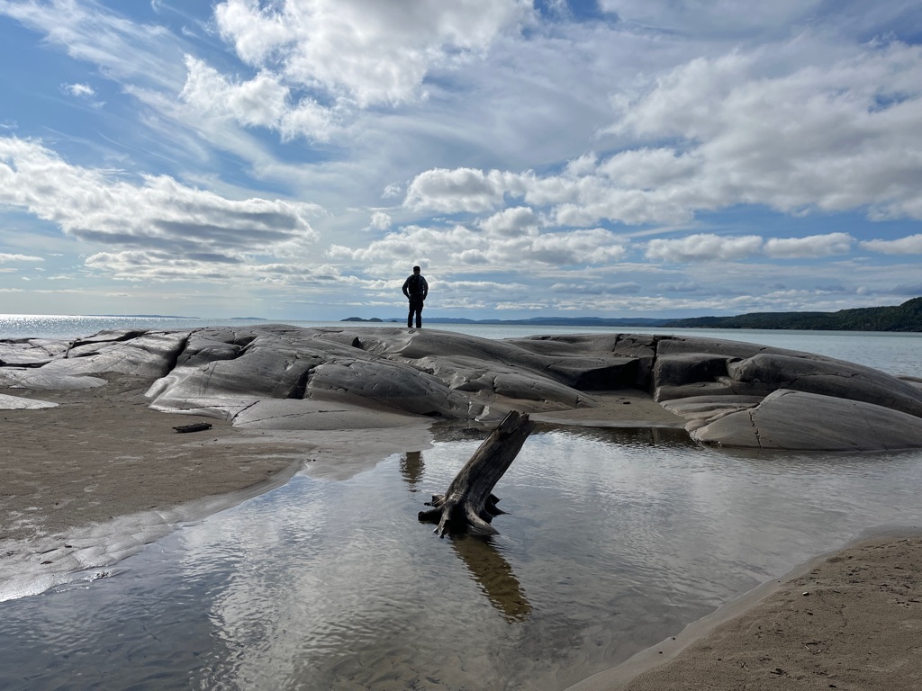
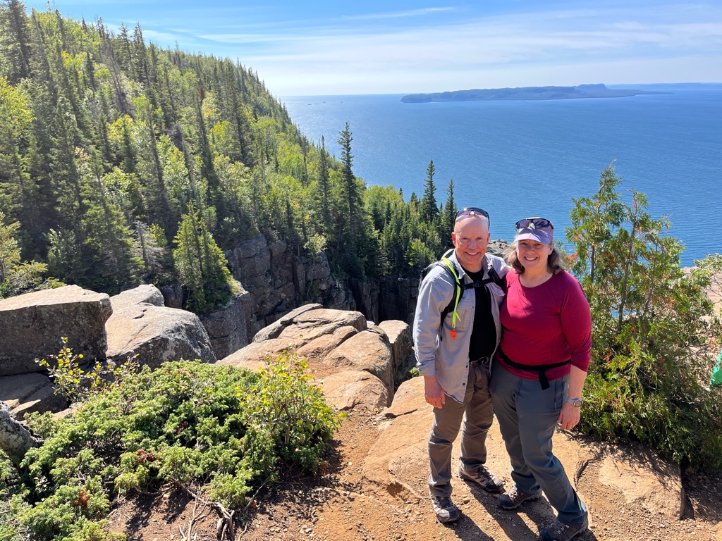
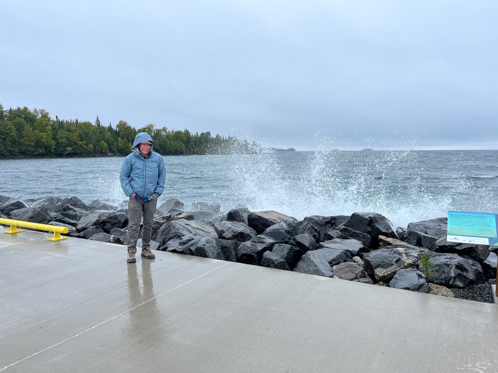
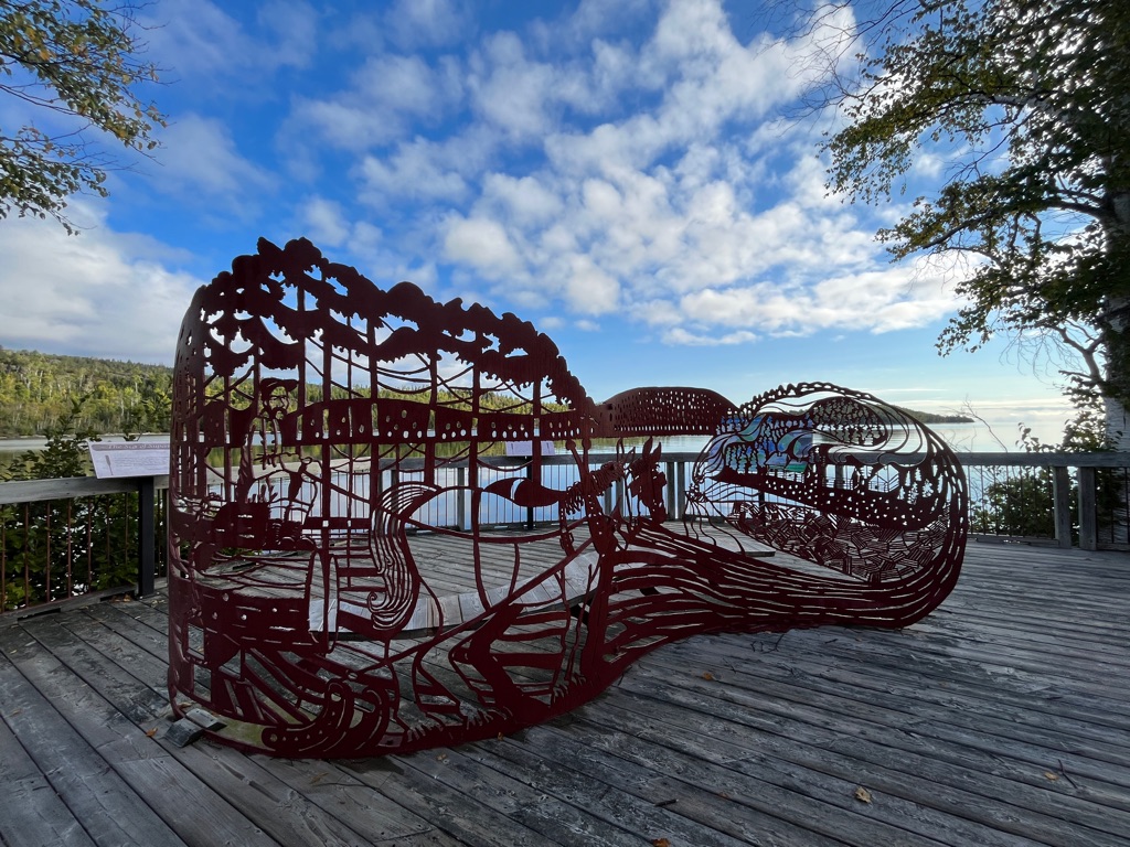
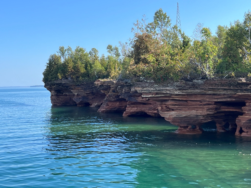
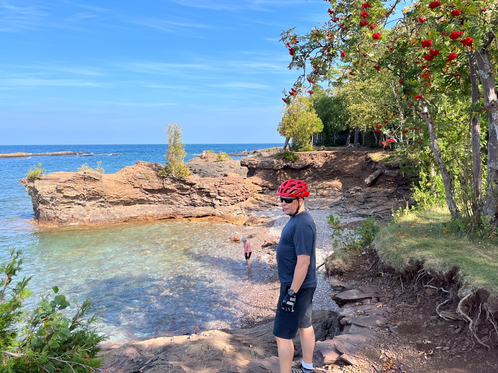
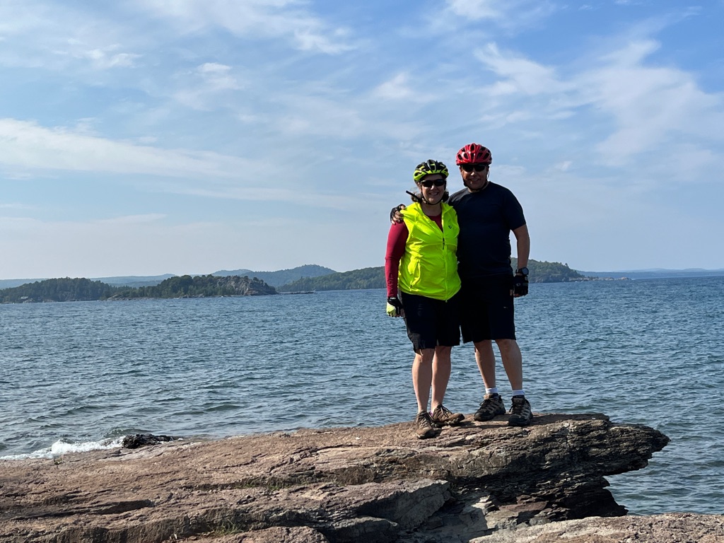
The Sea Lion and Sleeping Giant in the background.