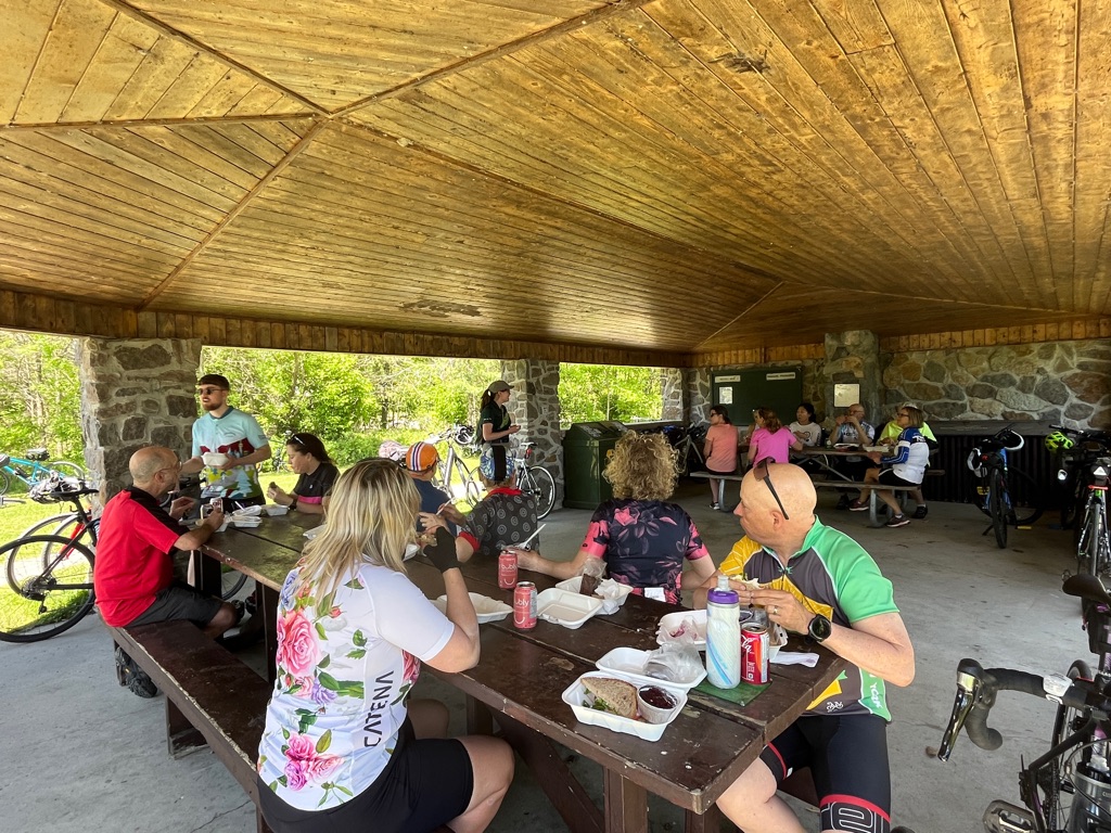
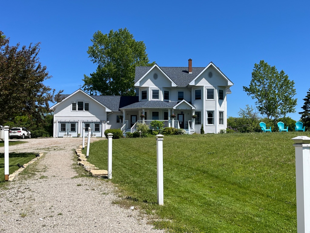
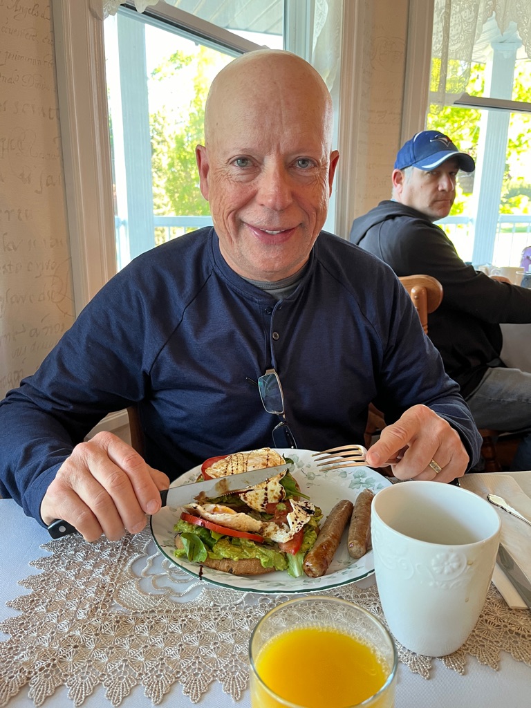
Our day started with a delicious breakfast prepared by Leslie our host. Avocado Toast, eggs from their chickens drizzled with balsamic… hmmm.
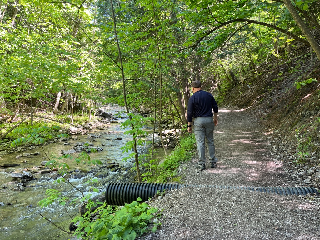
Varied terrain along the trail. We are still not sure why it is named Cup and Saucer but we can definitely see why it is one of the most popular hiking trails in Northern Ontario.
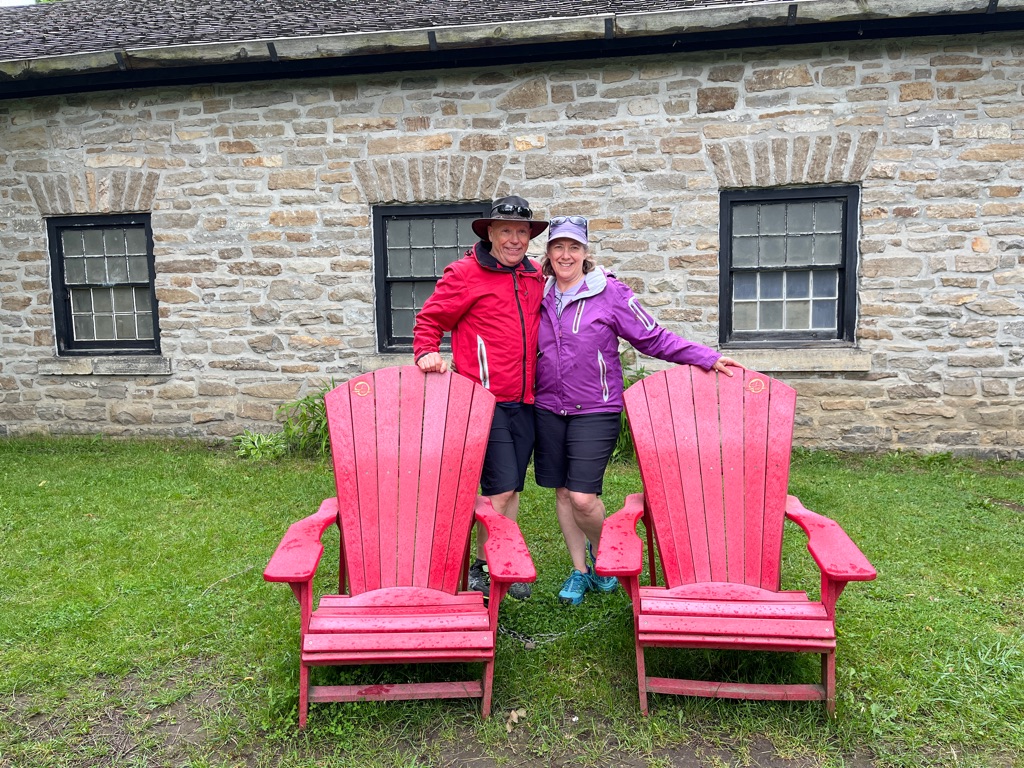
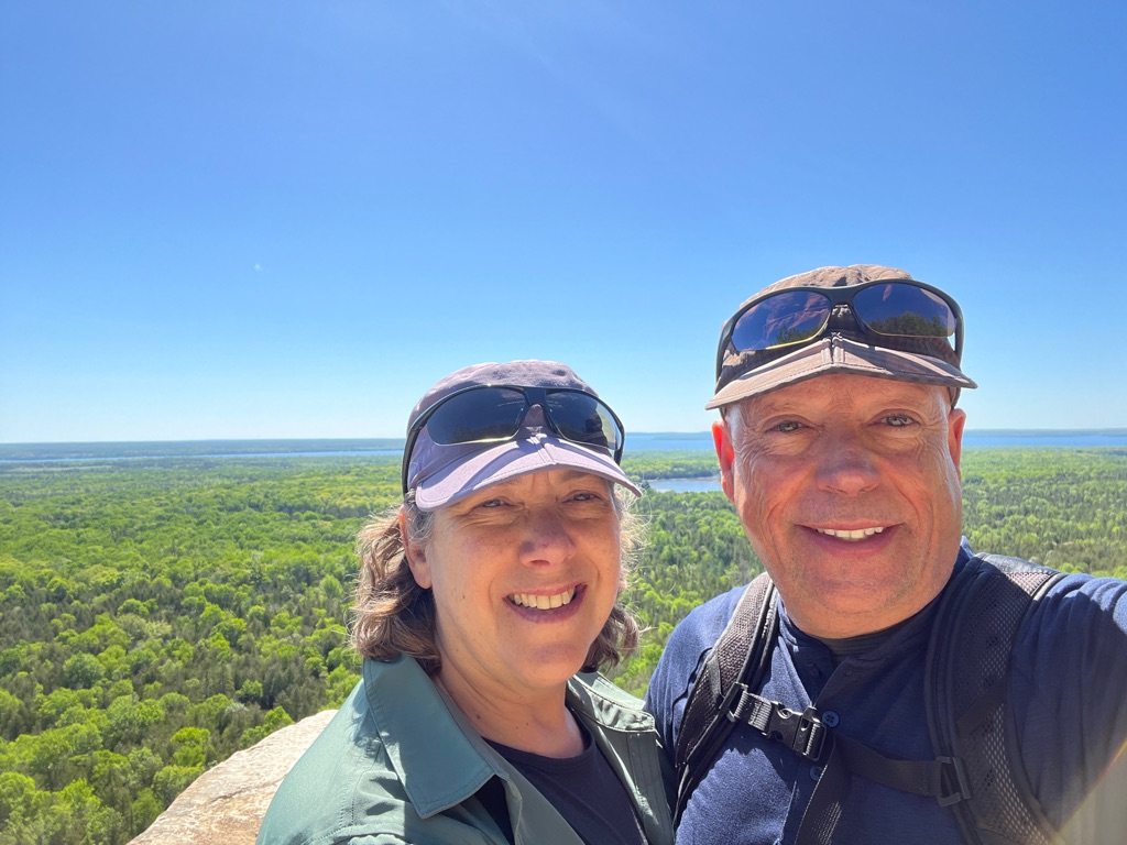
Okay that’s far enough please.
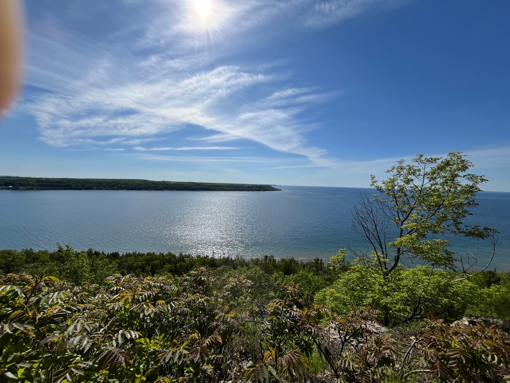
Clear skies and a beautiful day added to the scenery. Bugs were also not too bad along the trail.
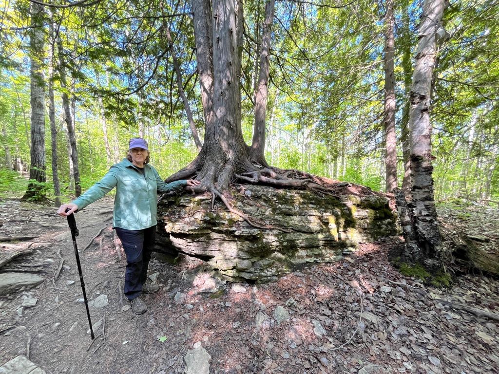
Amazing how a tree can grow holding onto the rocks!
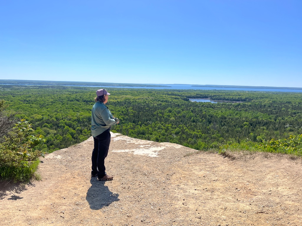
And another view… that was close enough for me.
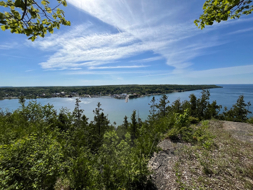
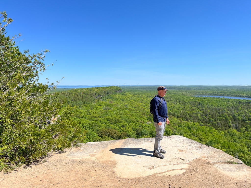
One last look before heading down.
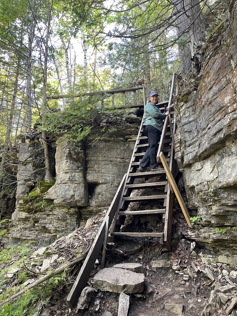
Grateful for stairs although they were a bit shaky.
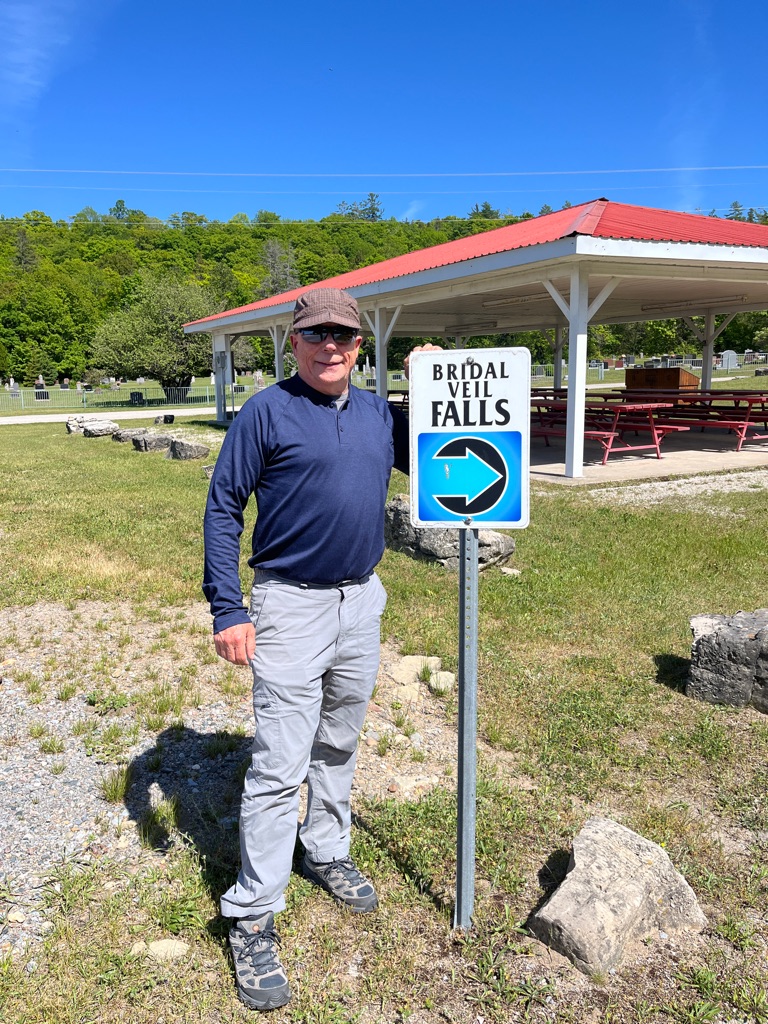
We chose to do the 5 km red loop.
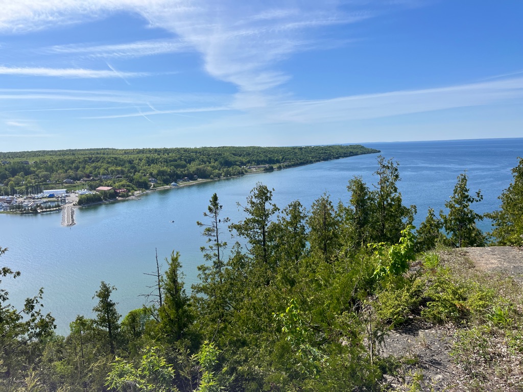
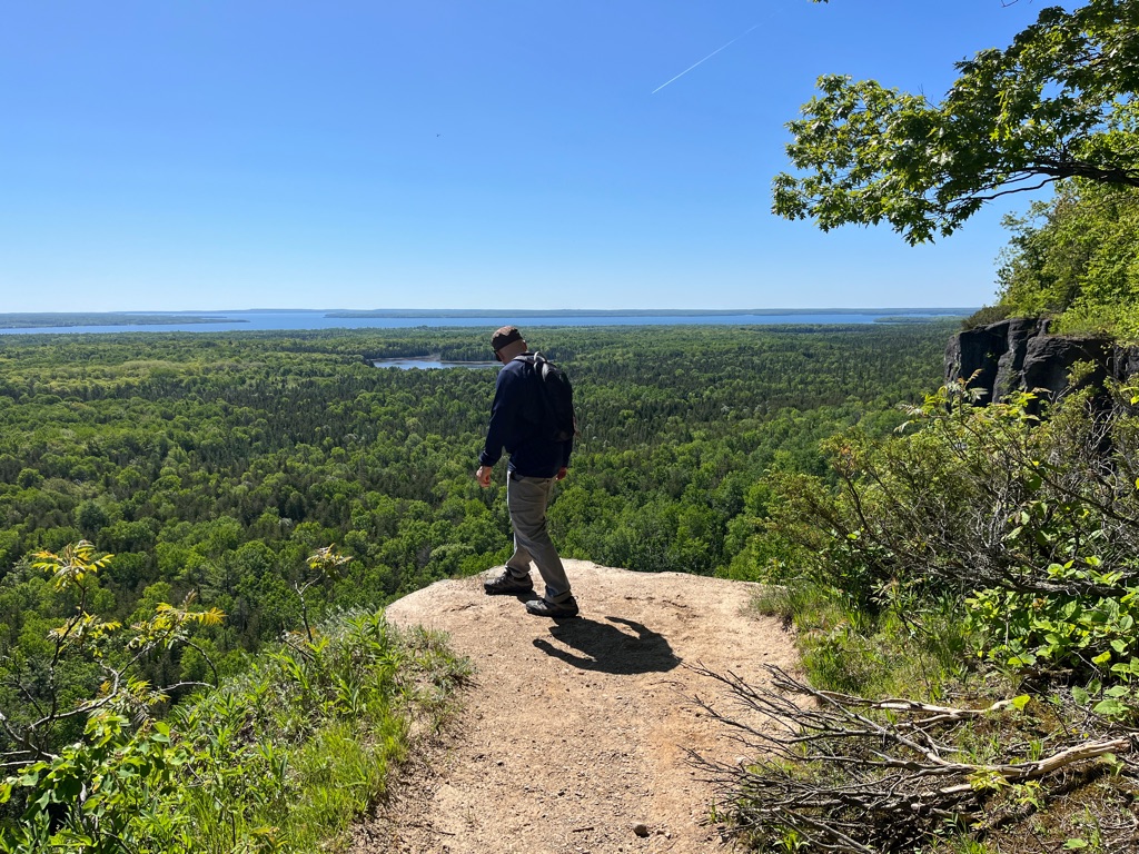
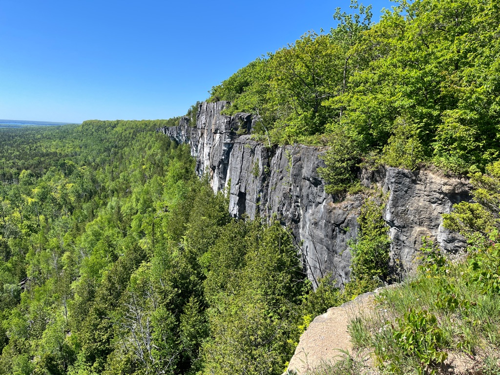
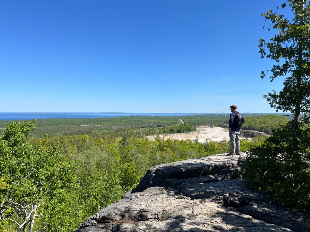
70 meter Sheer cliffs underneath.
We were glad it was dry and not too slippery.
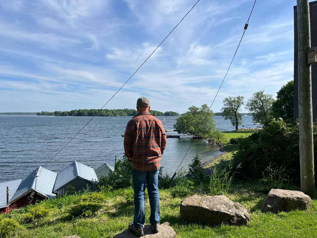
Wow what a view of the North Channel and Lake Manitou.
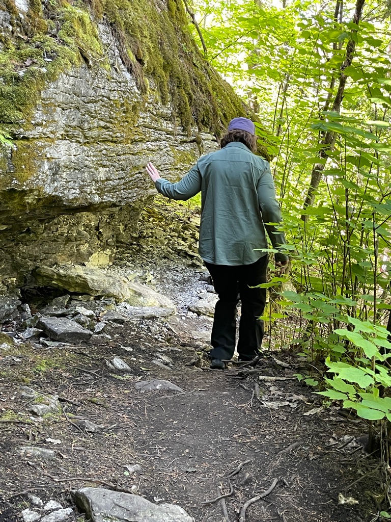
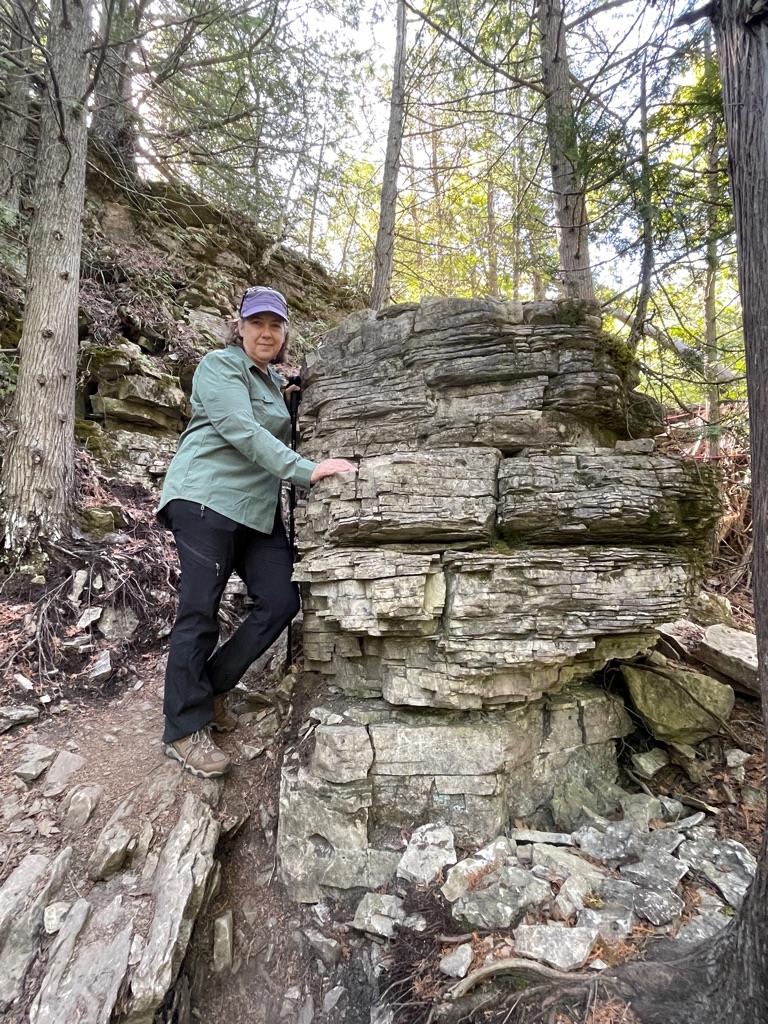
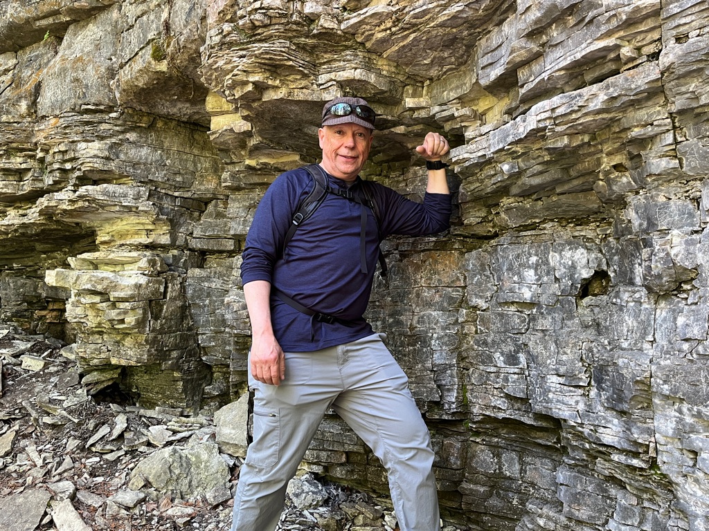
It is interesting to see the layers upon layers of rock.
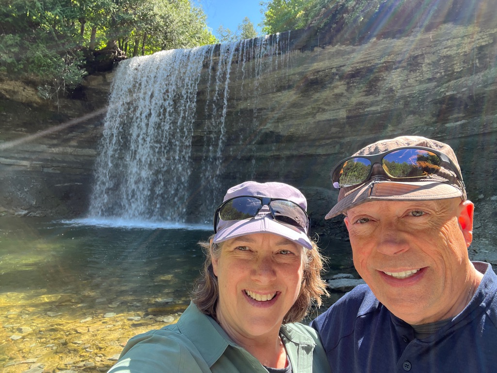
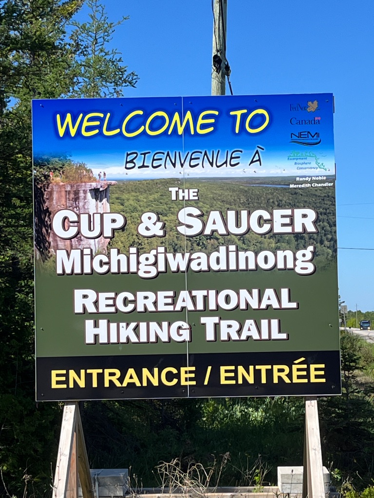
Fueled up and ready to go we headed off to one of the Island Landmarks at the Cup & Saucer trail. This trail takes you to the top of the Niagara Escarpment for spectacular views.
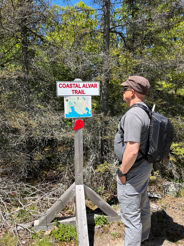
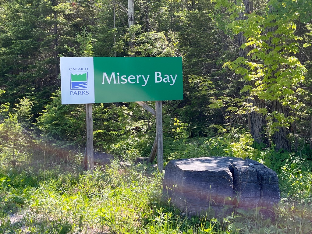
After finishing up at the Cup & Saucer trail we picked up a picnic lunch at the local Foodland and headed west on the Island to the only Provincial Park on the Island at Misery Bay.
This is a sign found in the dining area of our B&B… I guess we followed this advice today.
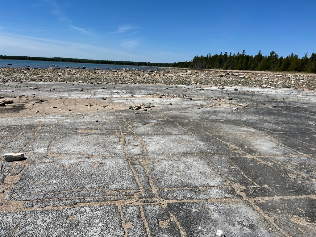
An Alvar is a biological environment based on a limestone plain with thin or no soil and as a result sparse grassland vegetation.
We are not sure how anyone could be miserable here. The story of the name of this bay goes something like this: Bavk in the dawn of time (or in the 1880s), two men in a boat in the bay called out to settlers cutting marsh grass on a hot sun on the shore, “What bay is this?” An overheated wag in the work party shouted back, “Misery!” And the name stuck.
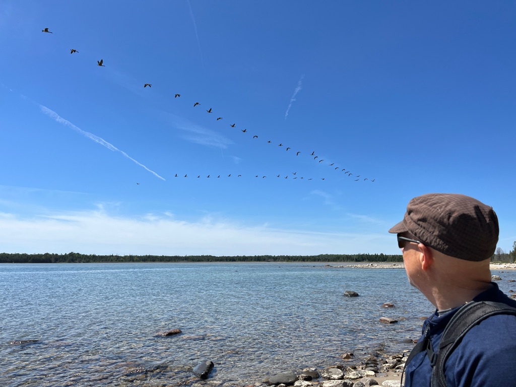
We saw (and heard) hundreds of geese while walking along the shore.
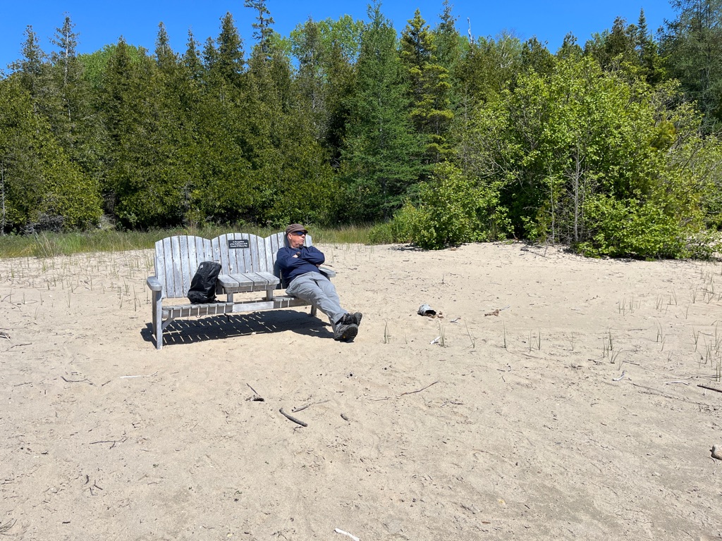
Apparently this was also a great place for a quick nap. 😴
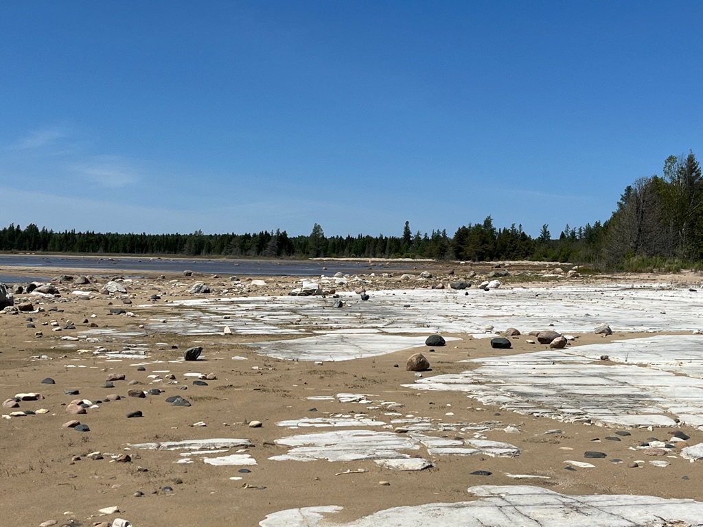
A great visual of the shoreline.
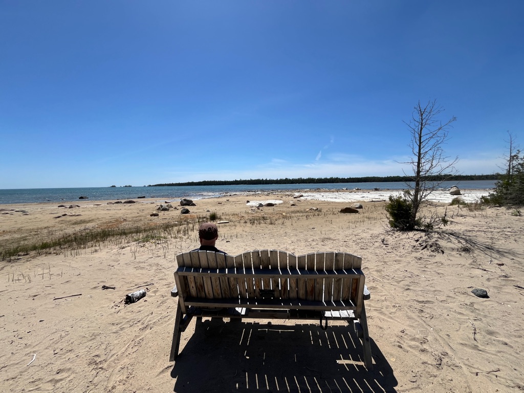
We found a picnic bench right where we needed it on the shoreline. This beach are is indeed different; arriving on the shore of Misery Bay is a bit like stumbling into a movie set in a primeval times. Very flat, limestone alvars, carved by glacier action years ago.
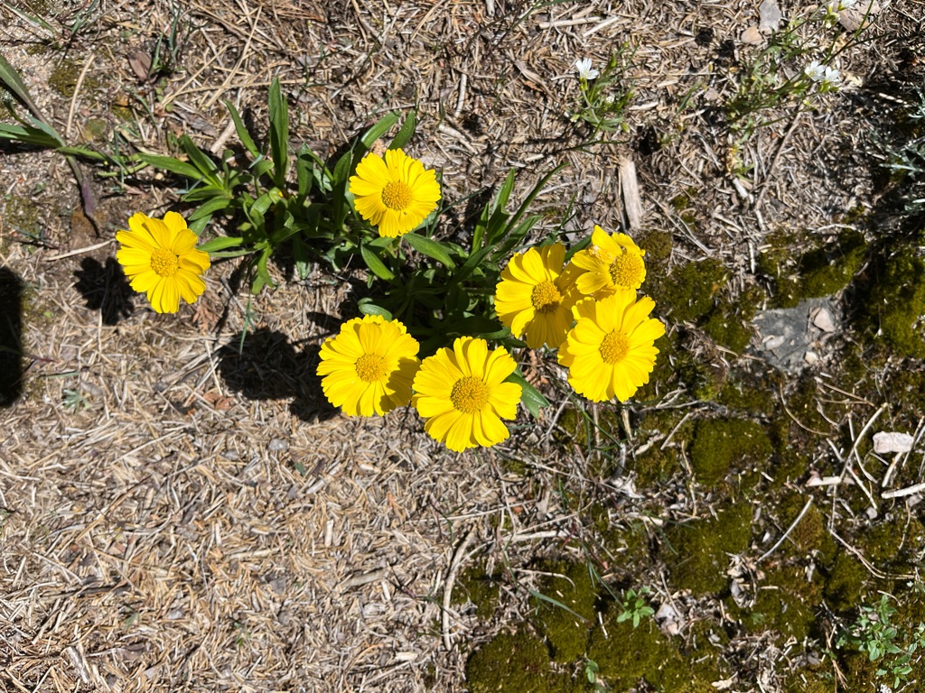
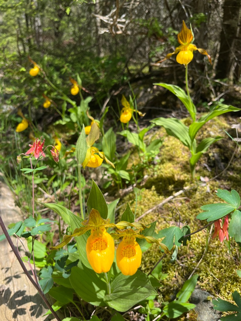
Mossy ground cover along with pops of colours.
Unique Flaura was seen along the trail.
Another great view of the Alvars.
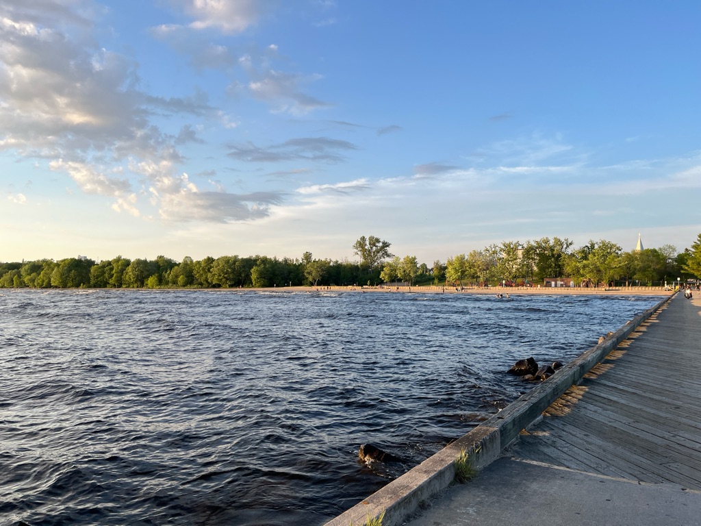
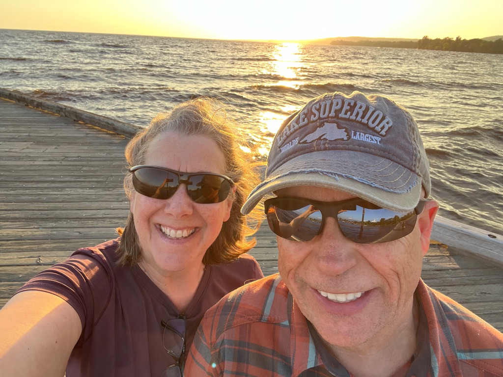
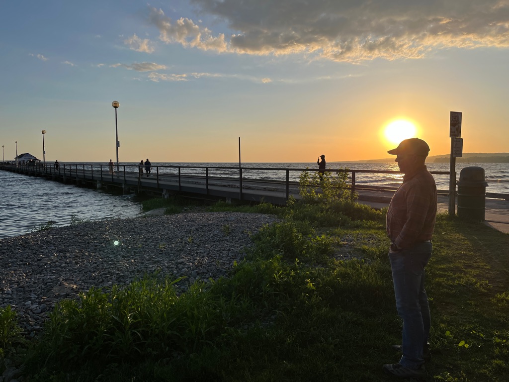
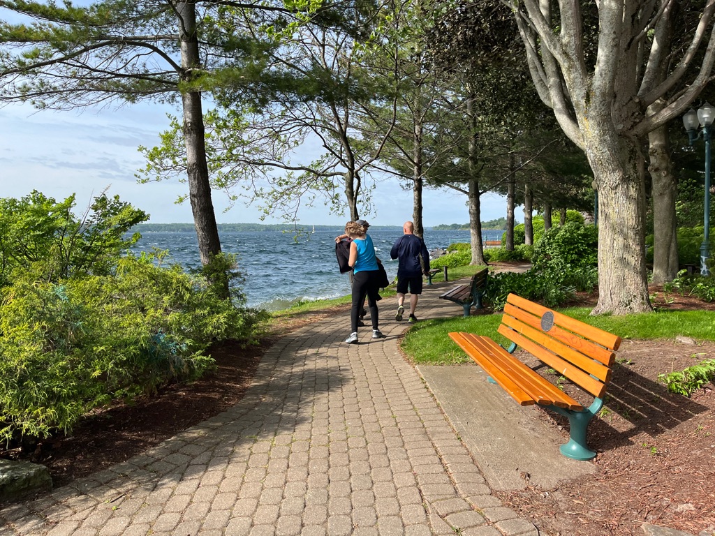
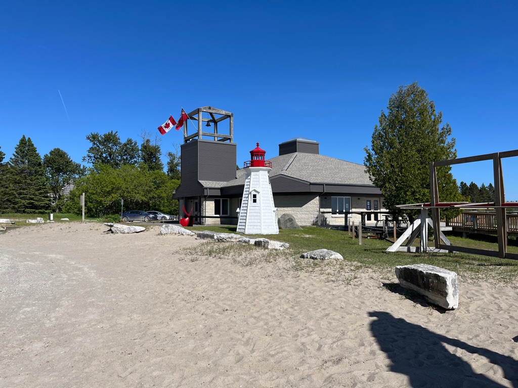
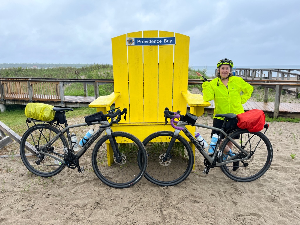
After our hike as it was such a spectacular day we headed off to Providence Bay. A beautiful beach area was waiting for us. Still a bit chilly, but there were a few brave souls out sunbathing.
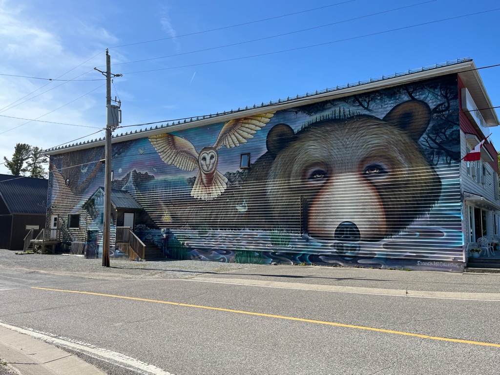
This mural was found on a building in Providence Bay. The amazing thing in this design was that the wall had ridges that had to be incorporated into the design.
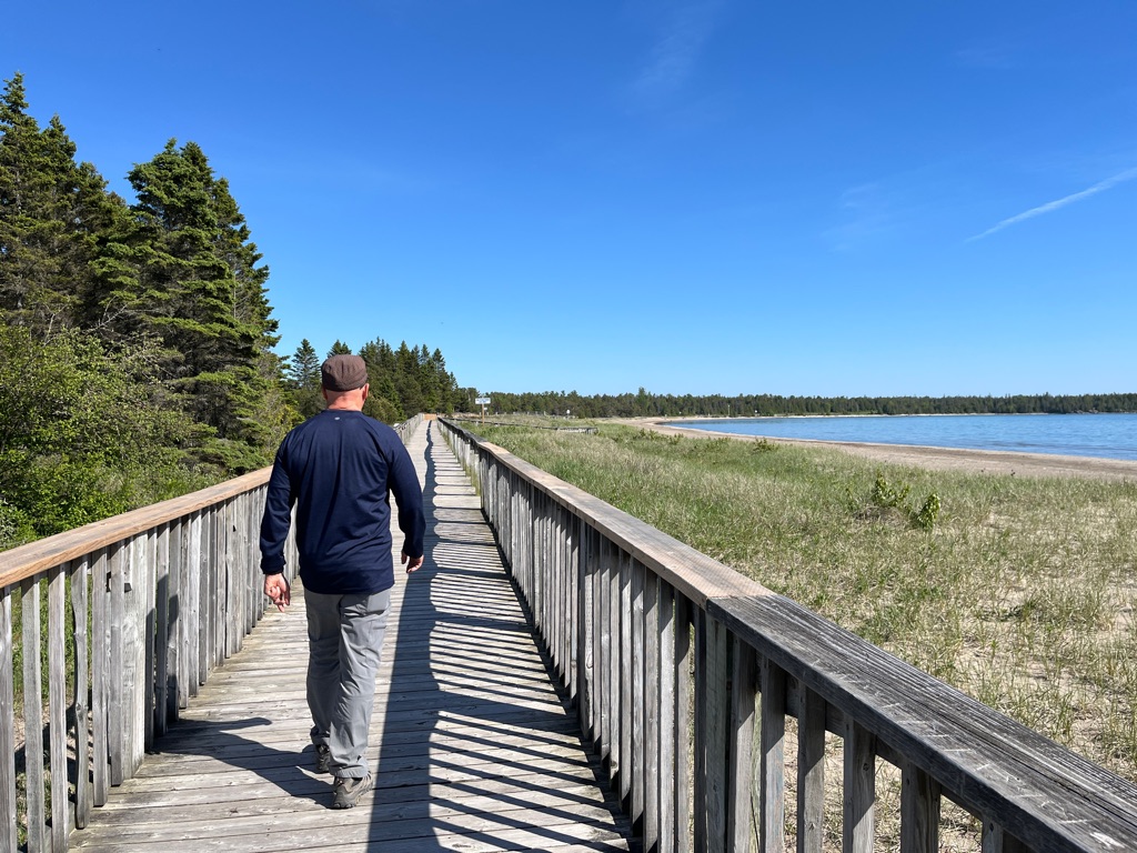
We hike along the boardwalk with borders the sand dunes and it turned out to take us the full 2 km along the shore.