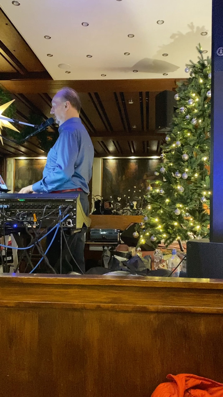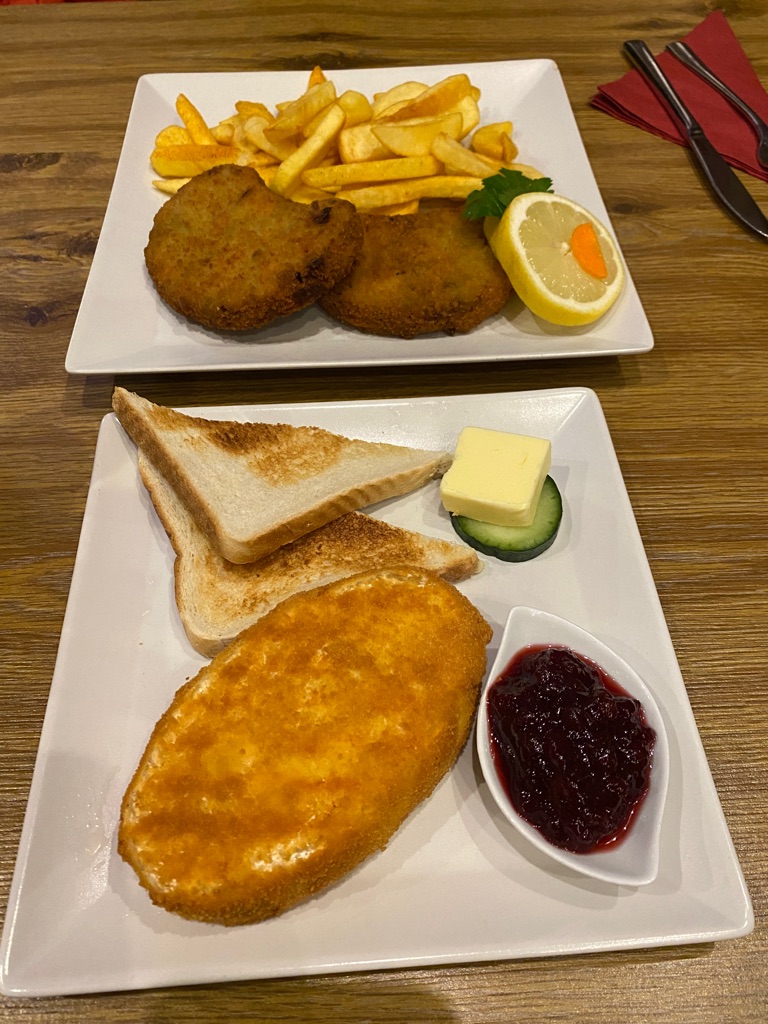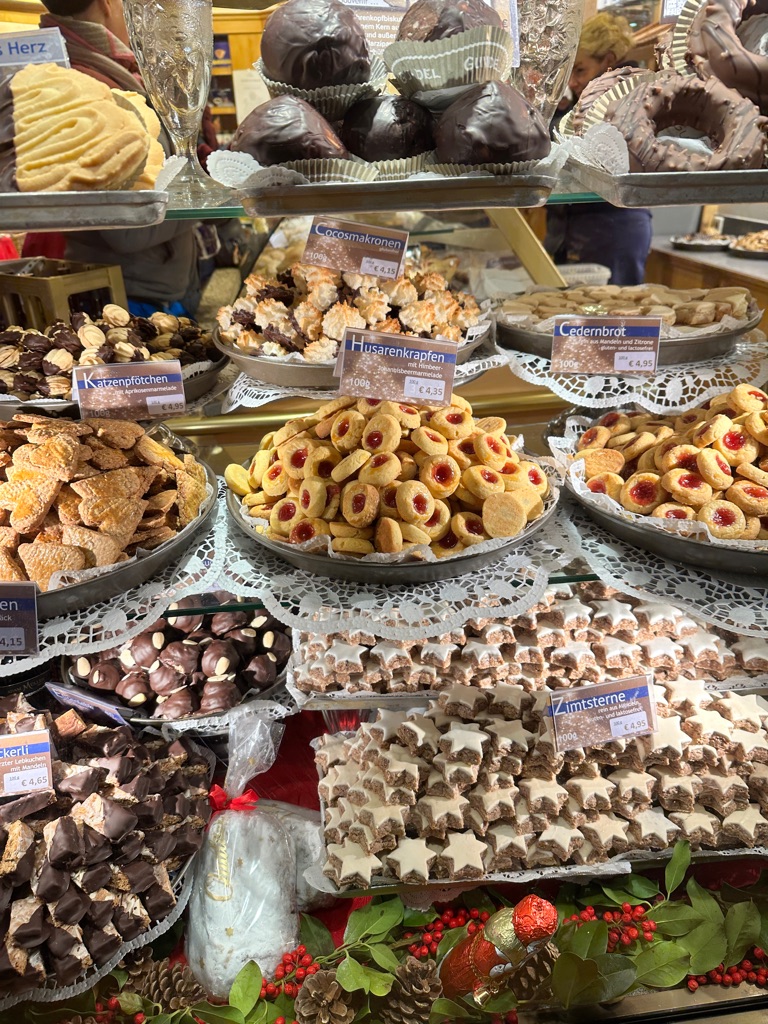
Camembert, \240blue cheese, chili cheese, oregano, tomato sauce and cranberry jam.
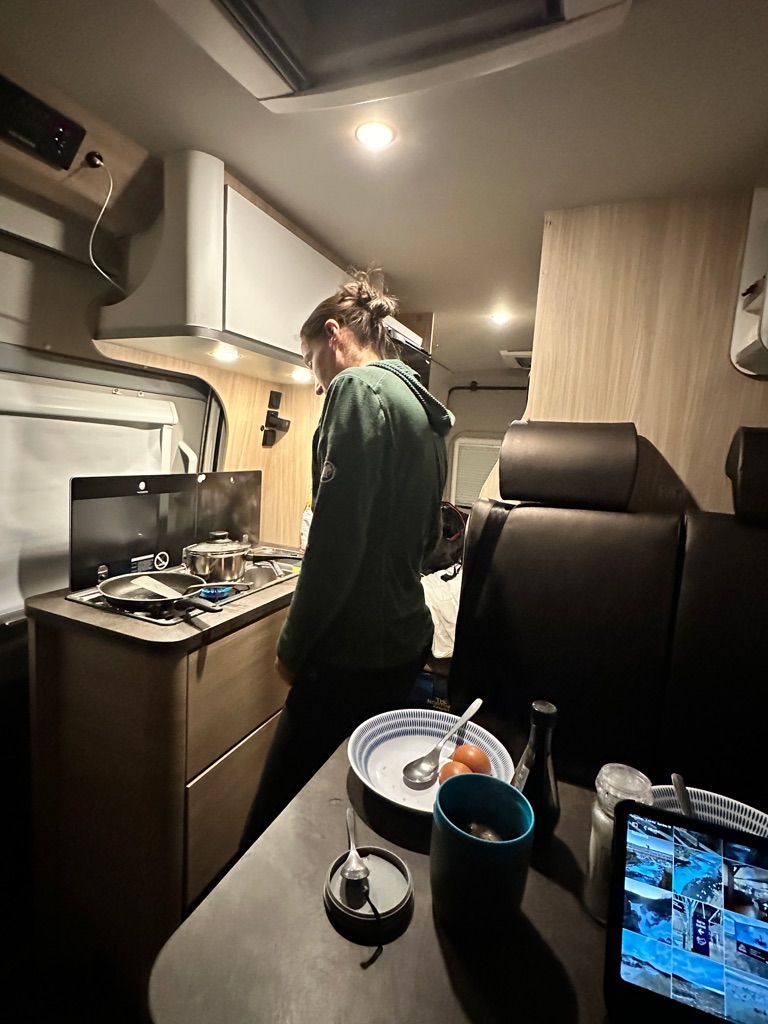
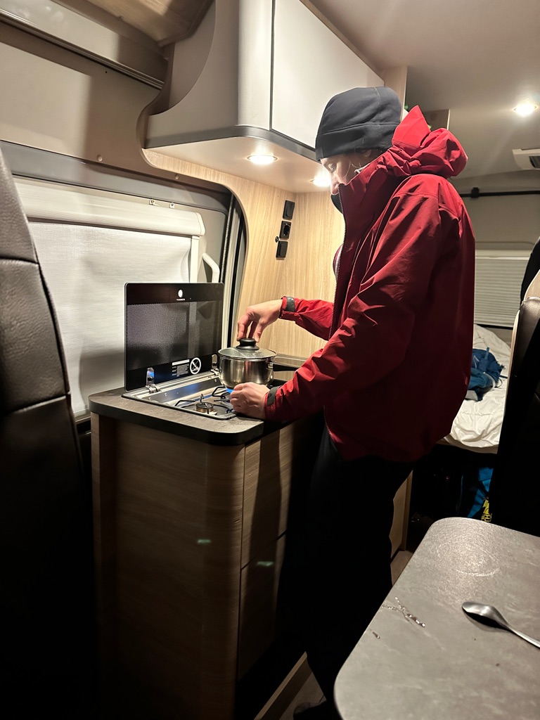
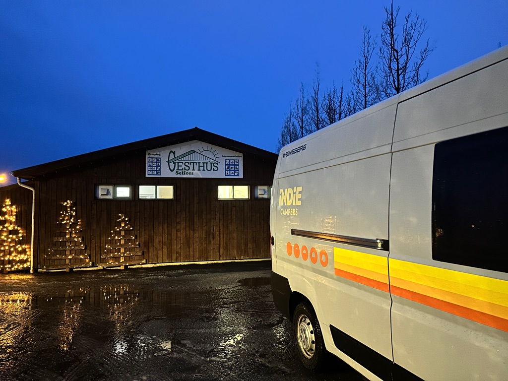
We did have somewhat of a learning curve with the van’s systems.
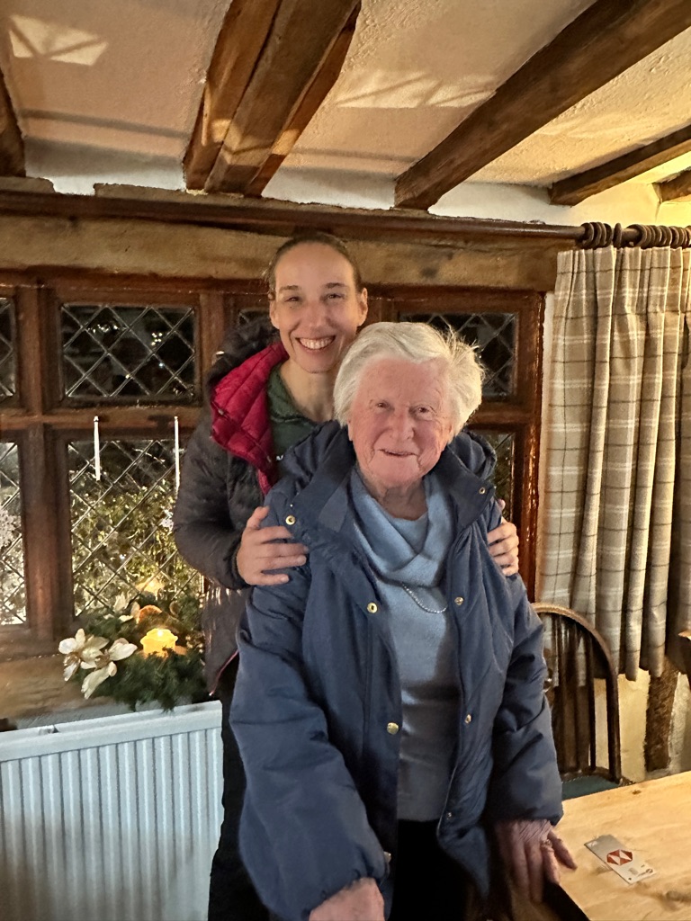
Getting the heat and electrics working and setting up our cozy home for the week took us a couple of hours then we both crashed for about 12 hours.
Van battles - HEAT (Michelle is much, much colder than Jhanet, indoors, only) I’m sure there are more to come. Stay tuned…
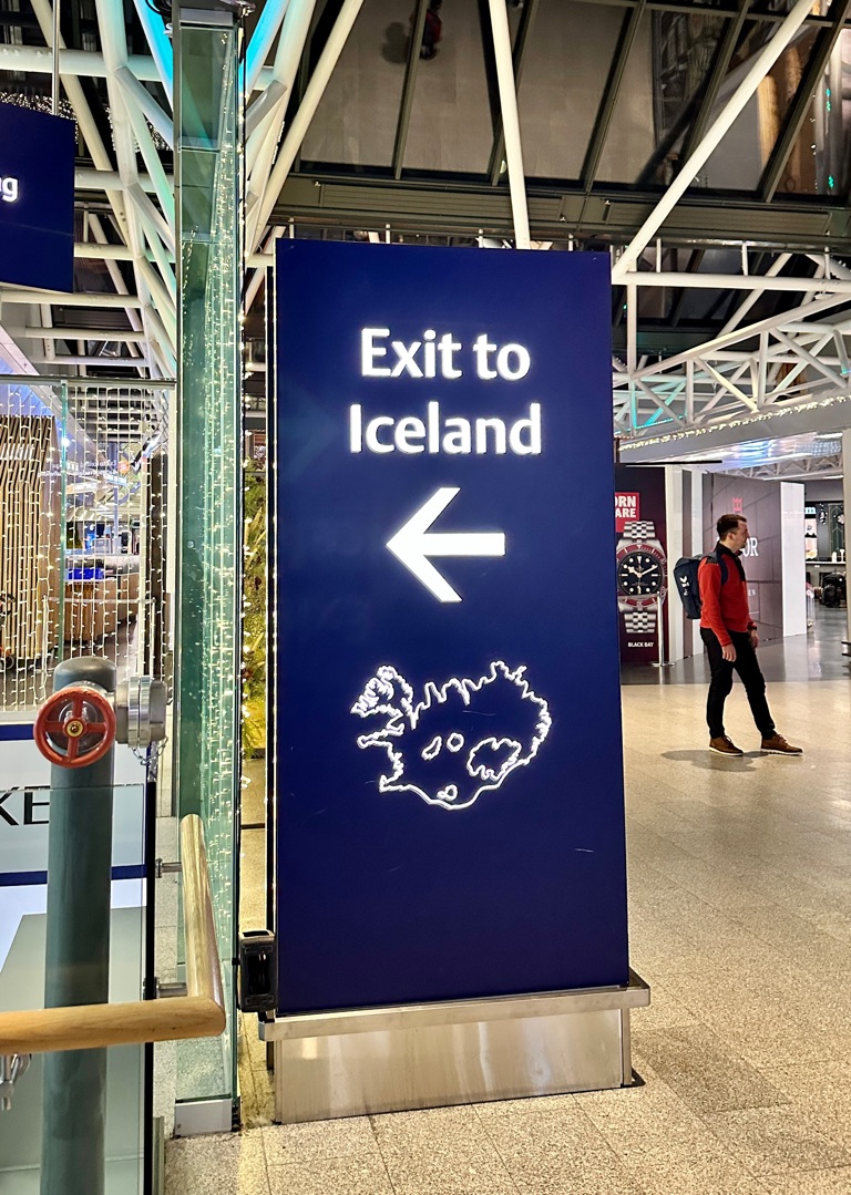
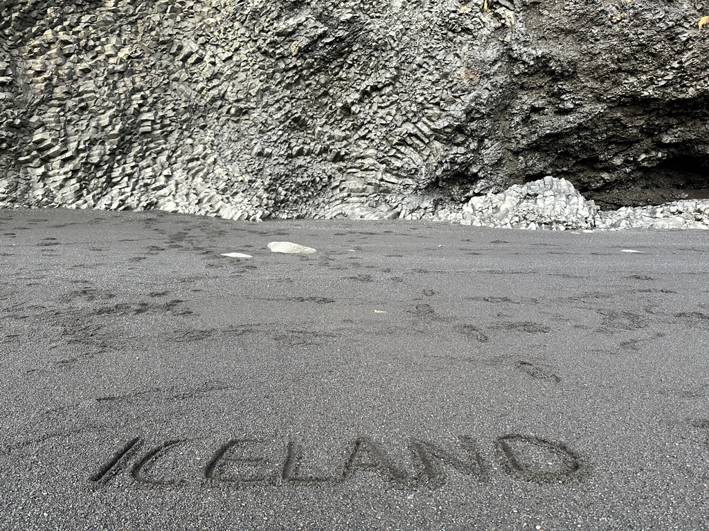
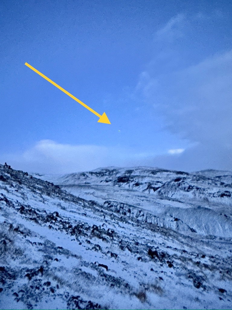
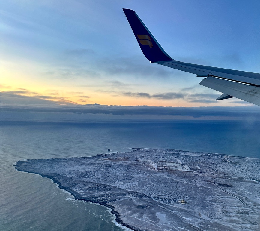
This way to Iceland
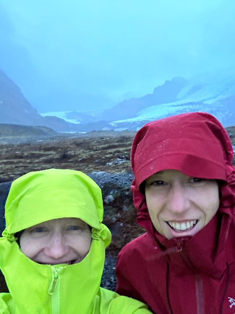
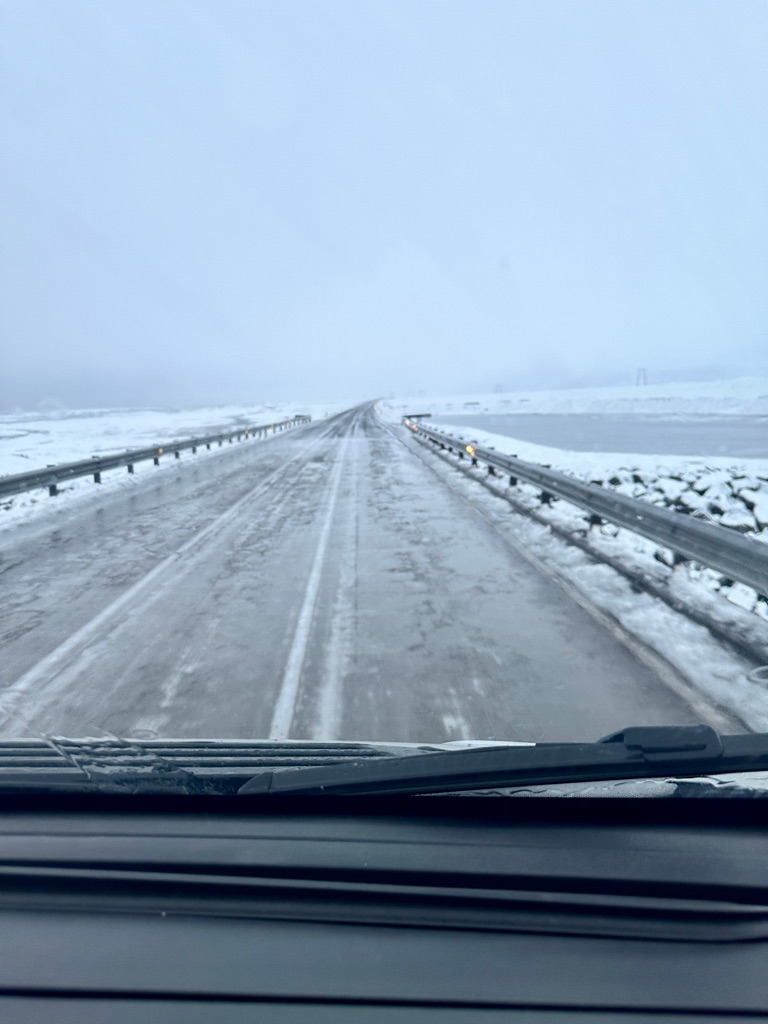
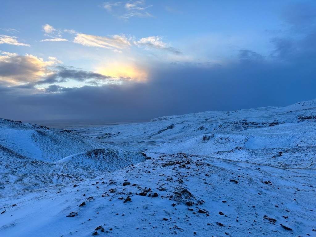
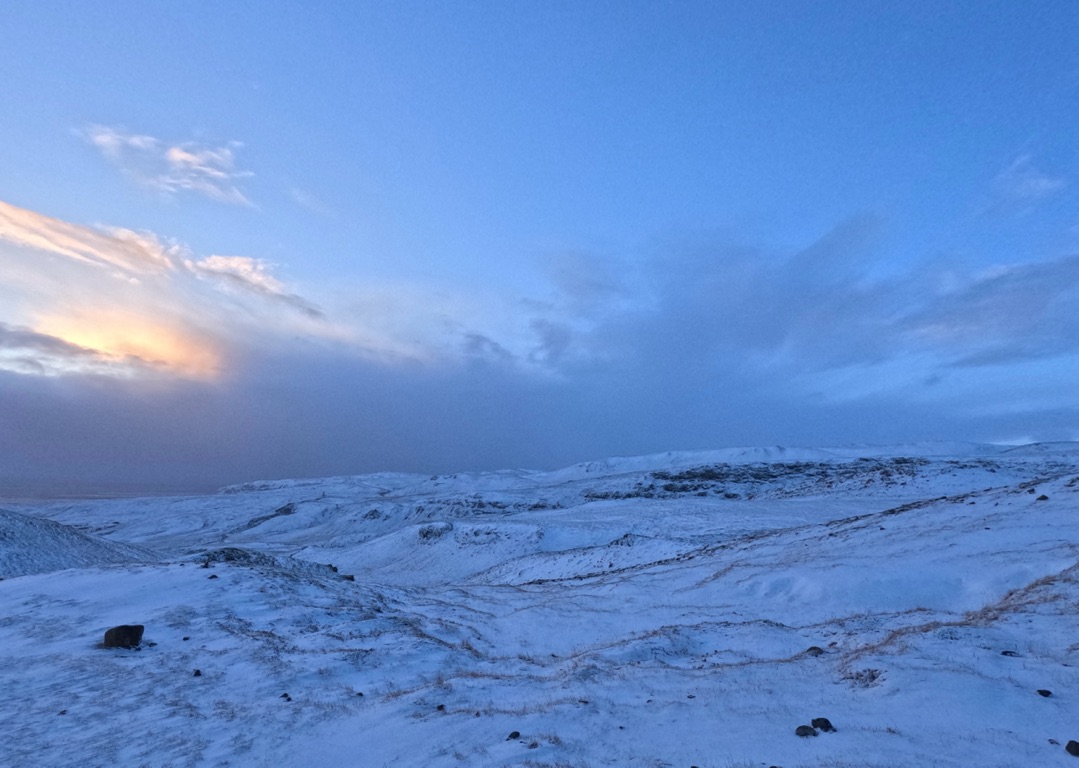
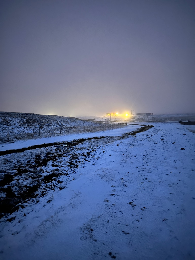
We will have to be mindful of the daylight that we have. The daylight hours in Iceland on the shortest day of the year are 4-5 hours per day (December to January)
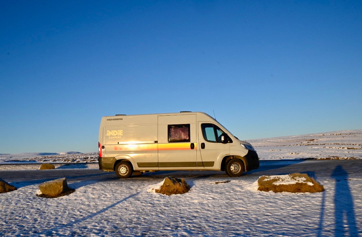
Nomad Camper
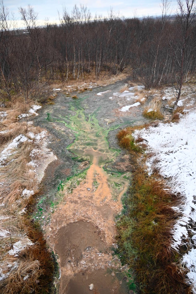
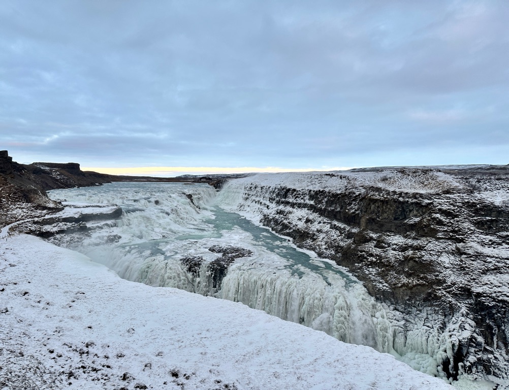
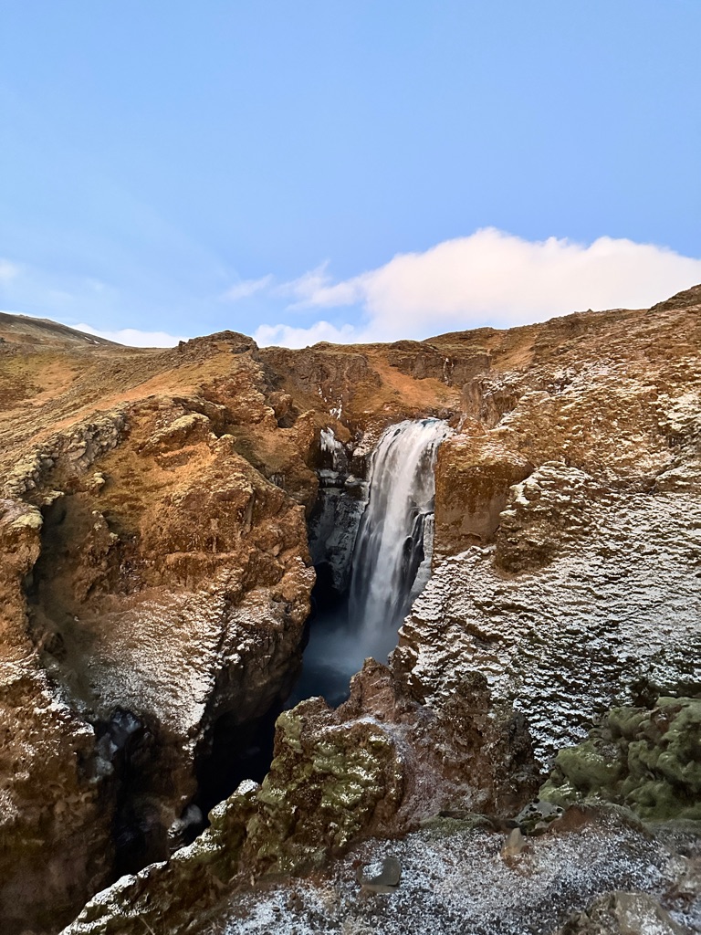
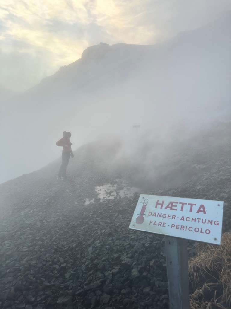
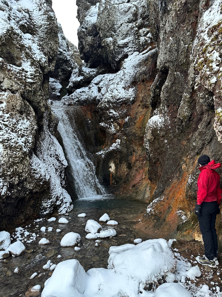
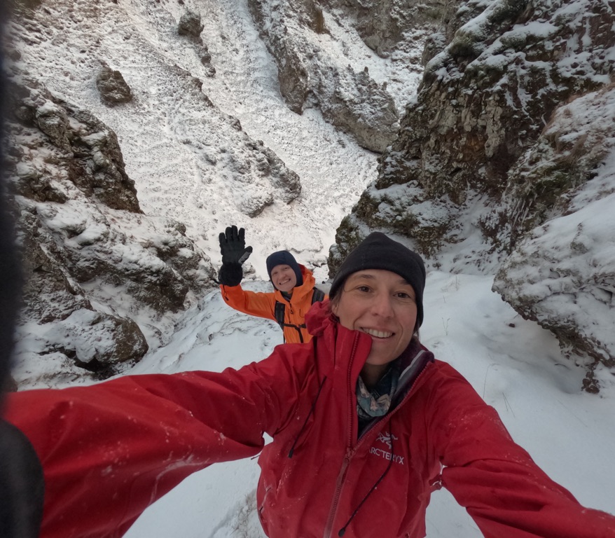
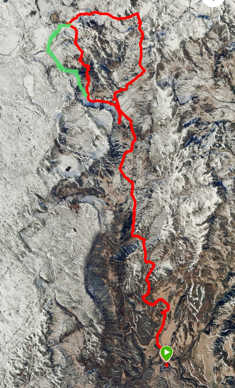
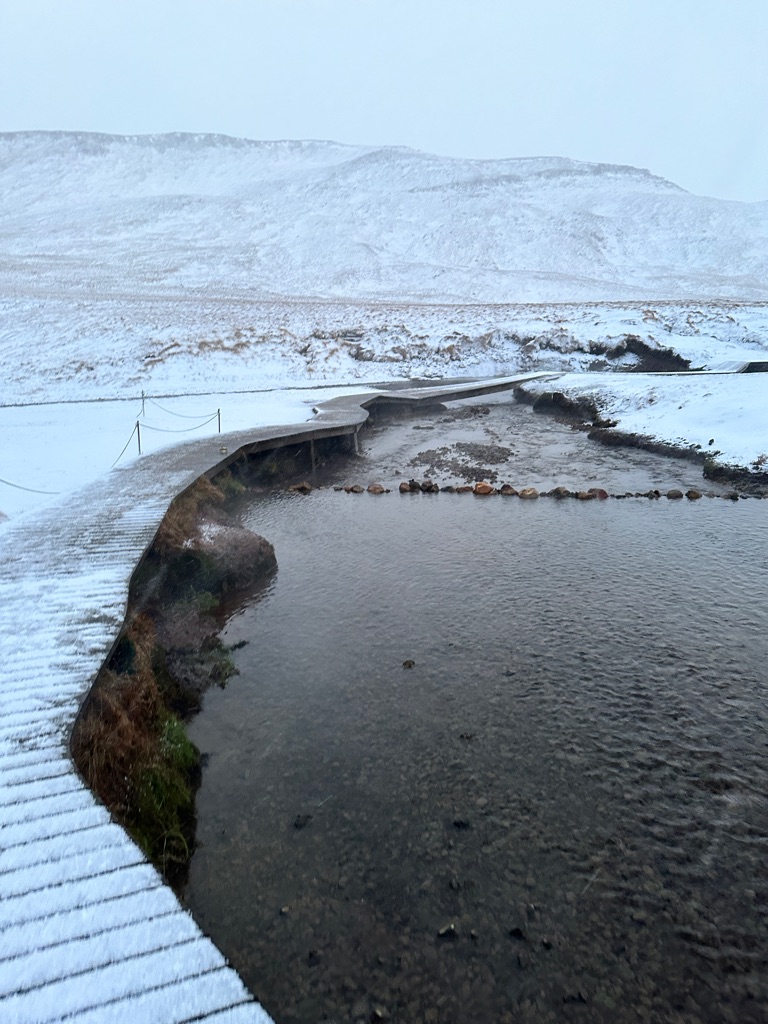
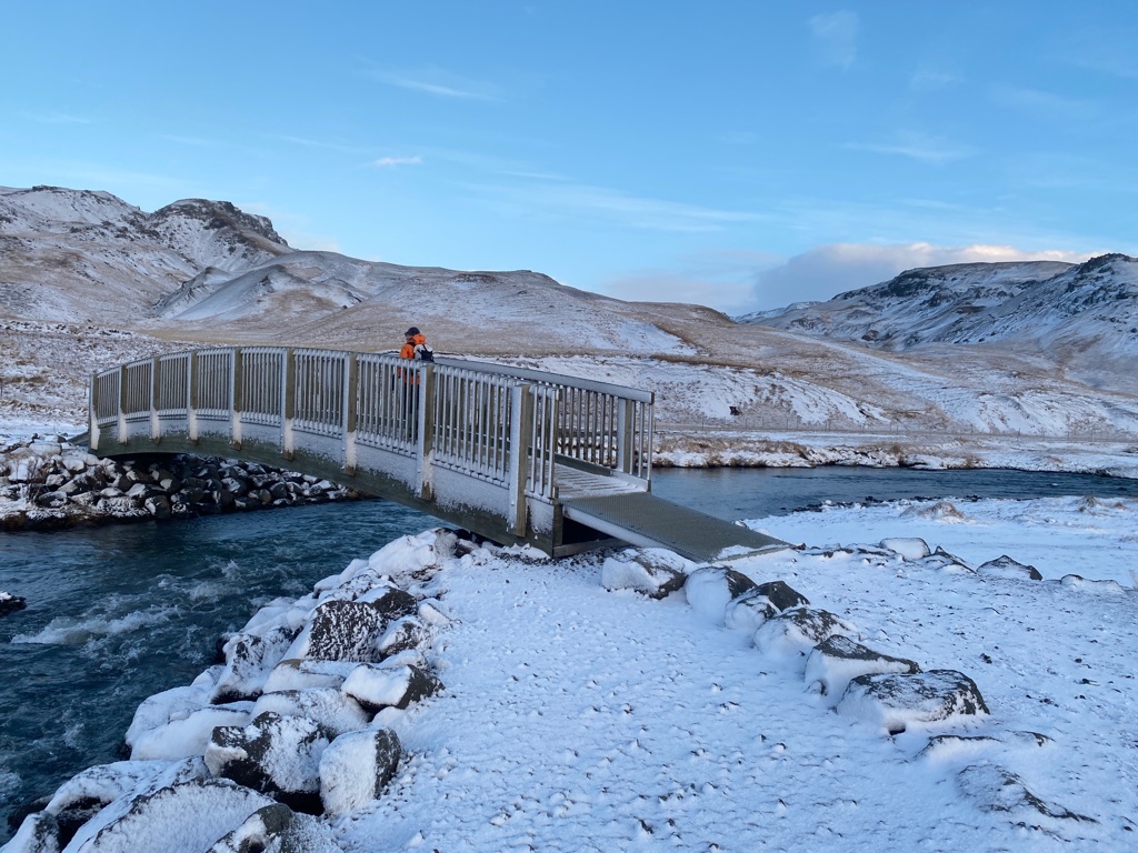
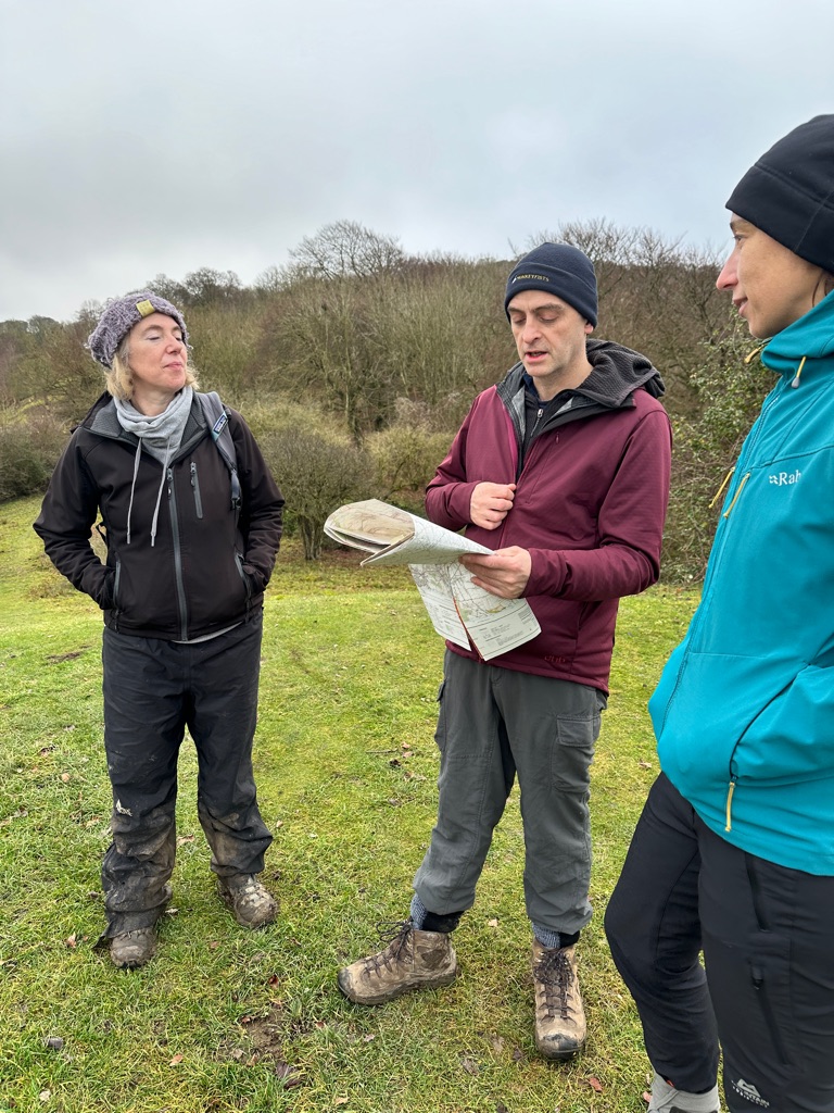
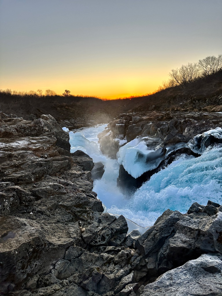
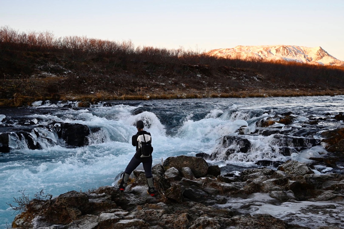
We headed north up to a trail that had three waterfalls. The first being Bruarfoss. The Bruarfoss Waterfall is a hidden natural gem located in the Western Icelandic countryside.
Brúarfoss may be a small waterfall, tucked away in a remote area of West Iceland. But the magnificent shade of blue-colored water in its rapids is amazing.
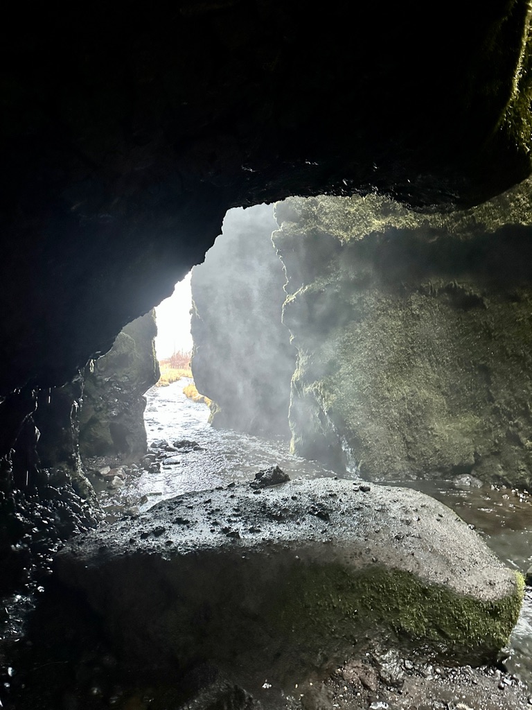
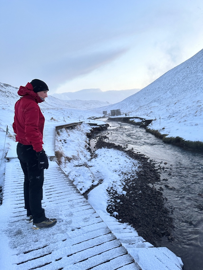
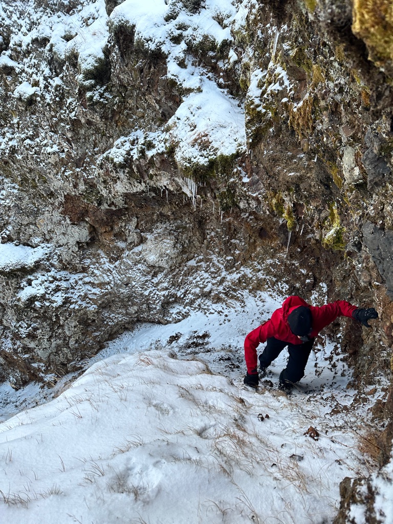
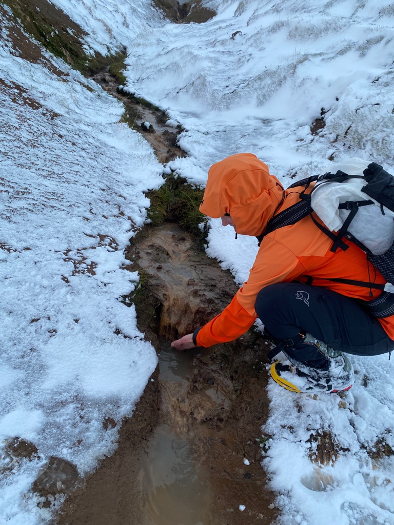
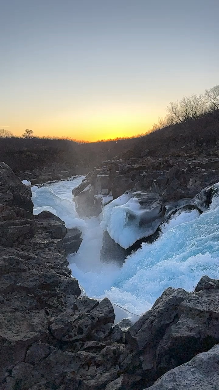
Hlauptungufoss
Hlauptungufoss is a waterfall in the south of Iceland in the river Brúará.
There are several waterfalls in the river Brúará; Hlauptungufoss is a small one with a height of approx 2 meters. The waterfall is located 1.5 kilometer downstream from the famous Brúarfoss.
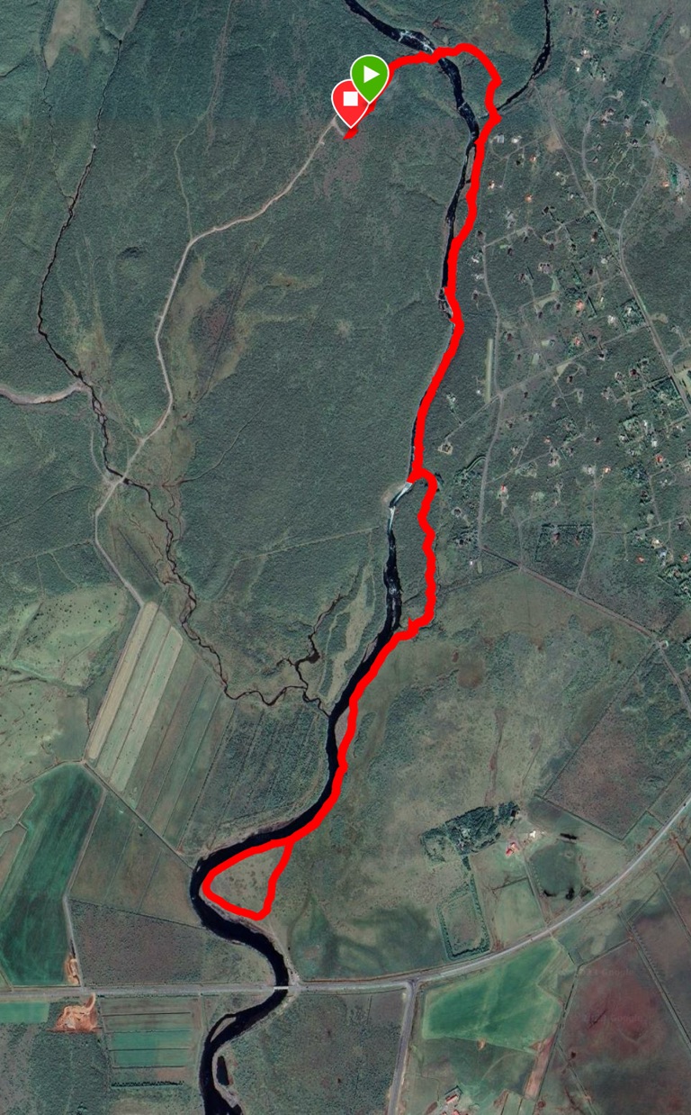
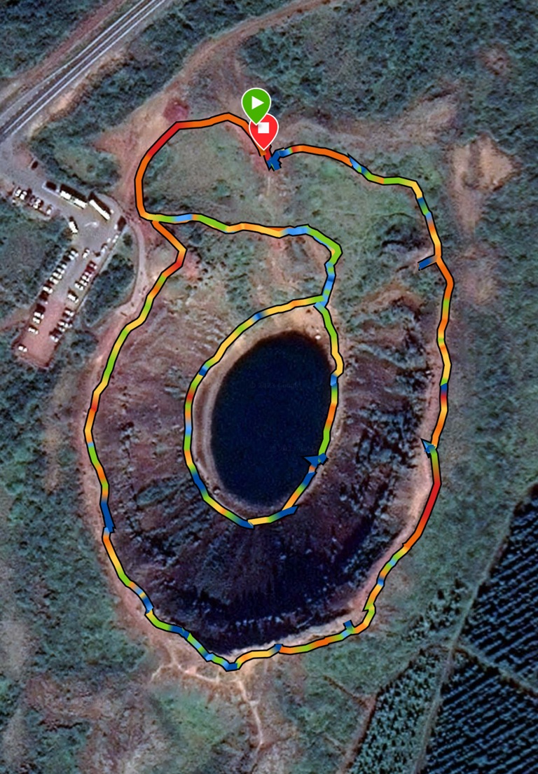
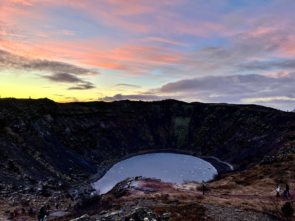
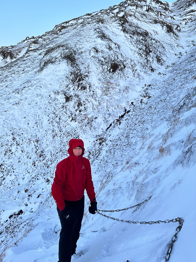
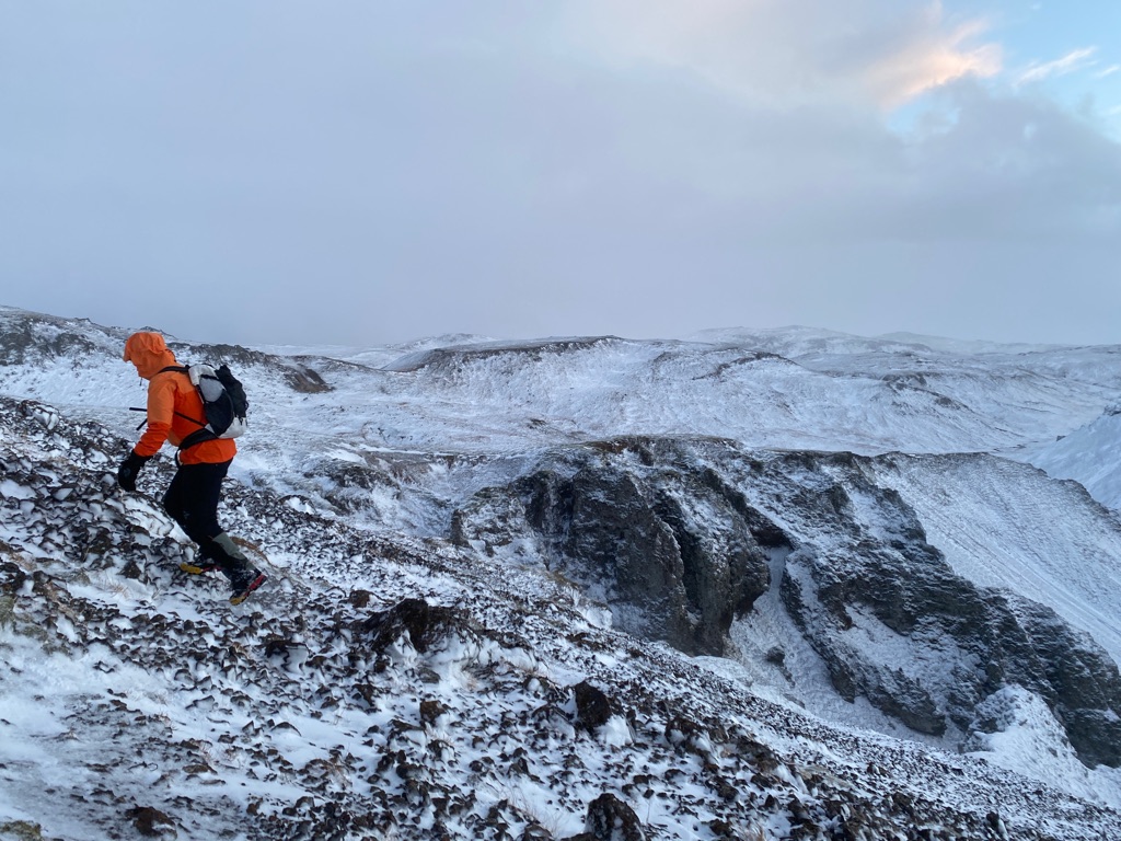
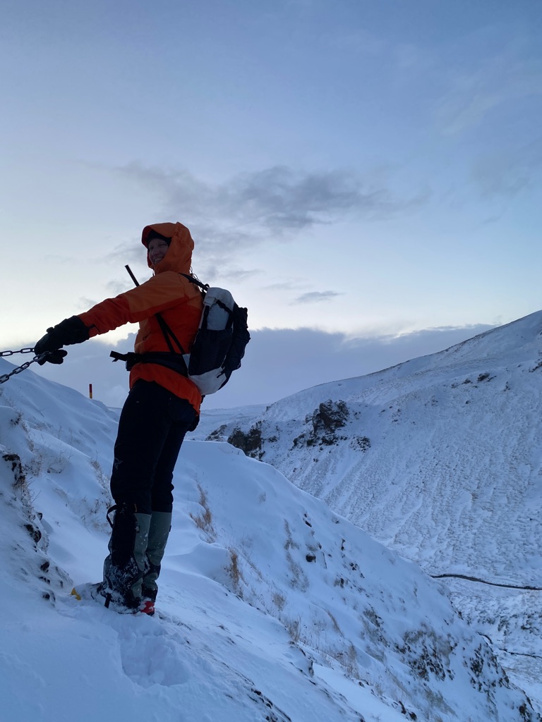
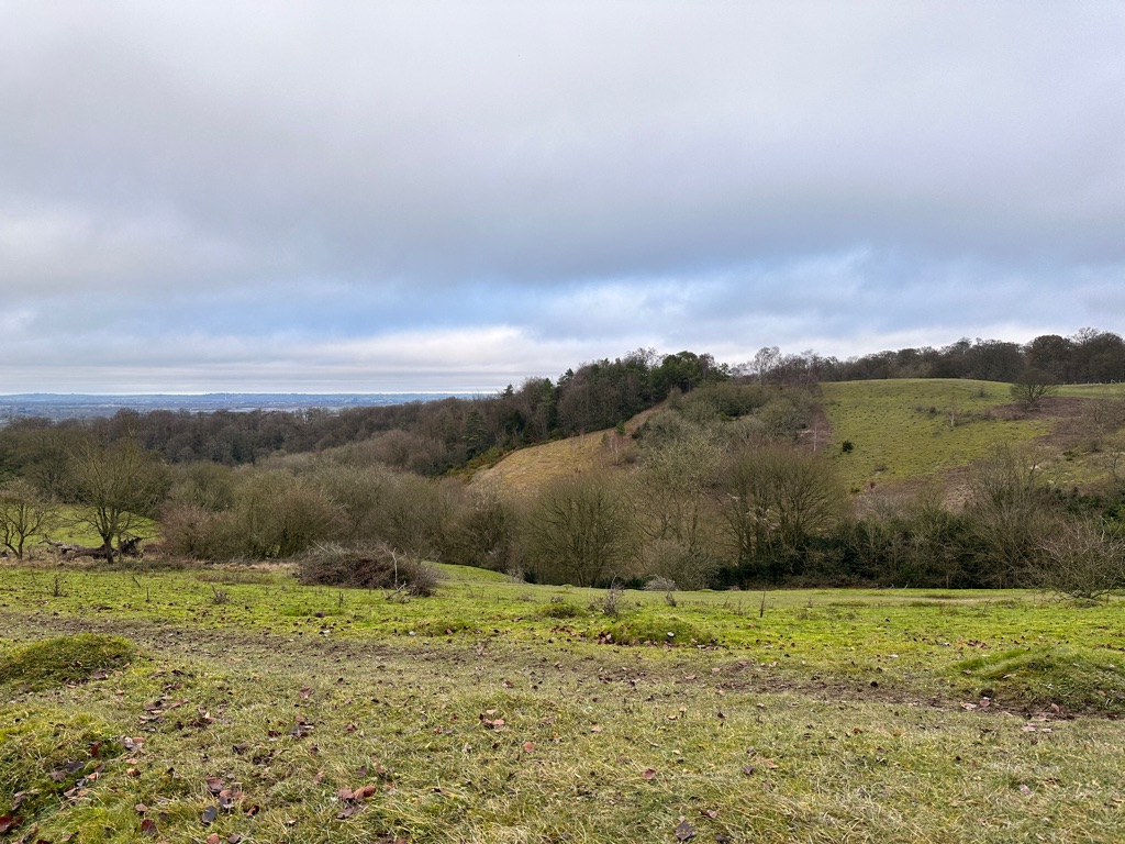
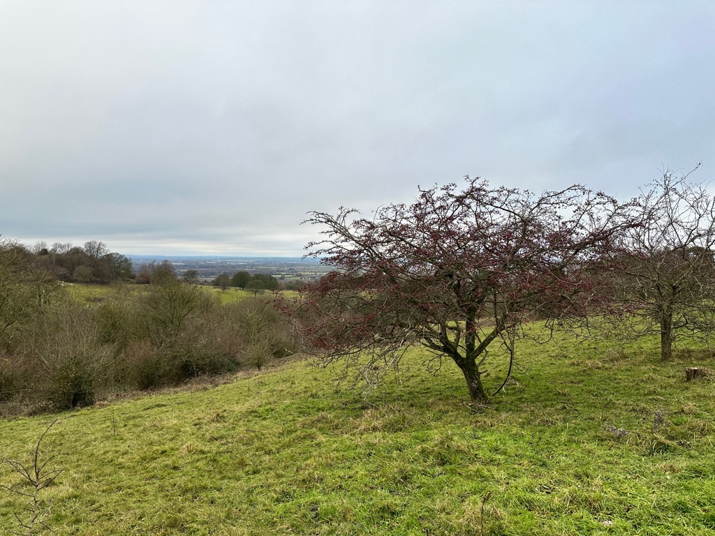
Blaskogabyggo Hiking Trail 4.51 miles
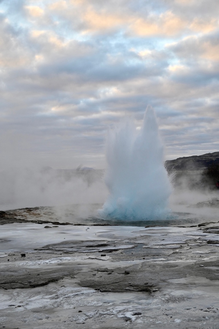
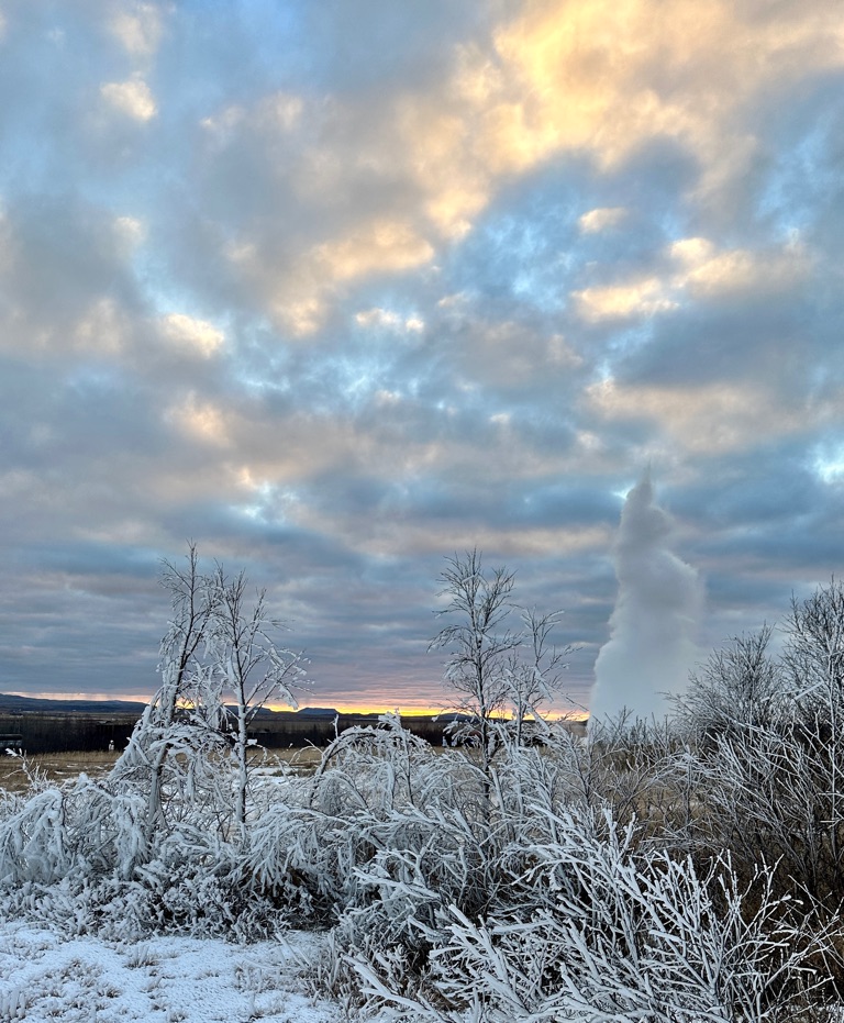
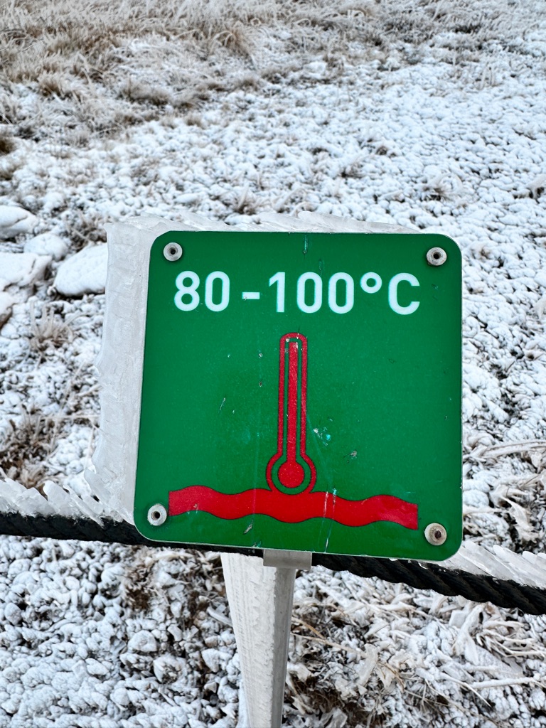
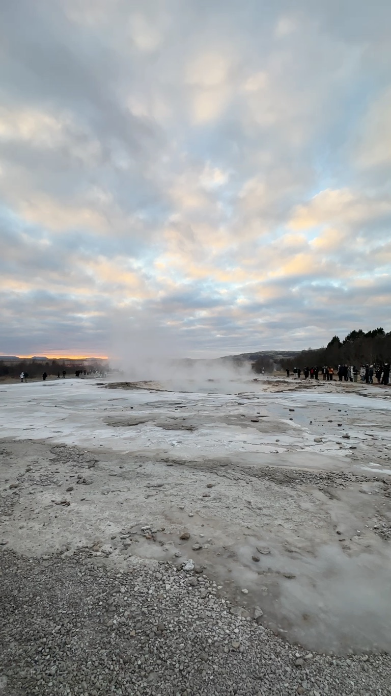
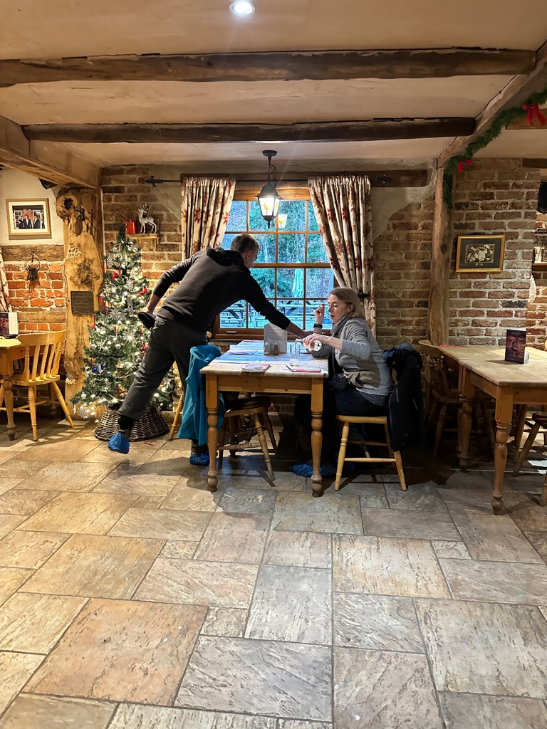
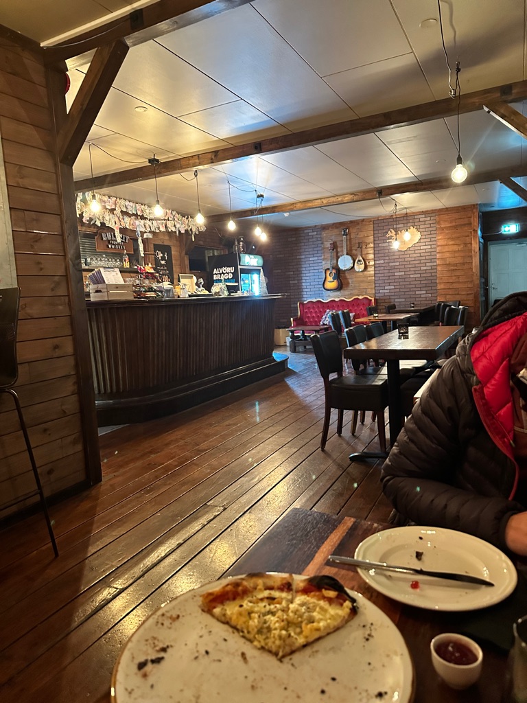
After our small hike and not having slept for over 24hours it was time to find a camping spot for the night. We ended up finding Skjol camping in Geysir. They had a restaurant and we ordered a small pizza before parking our van in a field for the night. They were great. It costs about $14 USD per person per night. If you want to plug in than you can add an additional $7(ISK 1000 ).
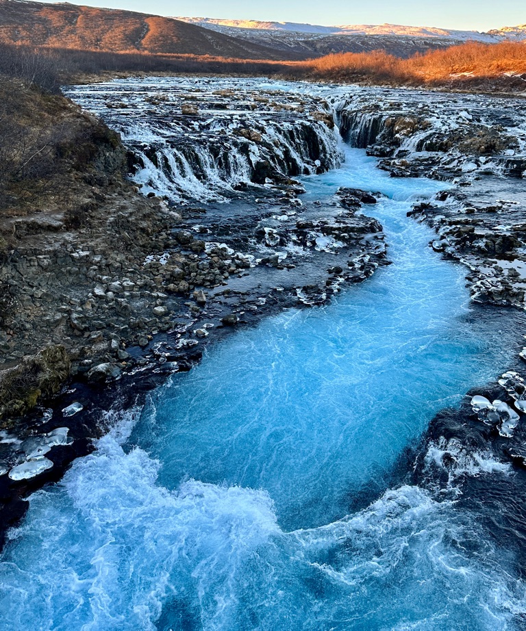
Brúarfoss
Midfoss
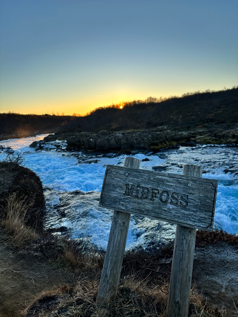
Midfoss