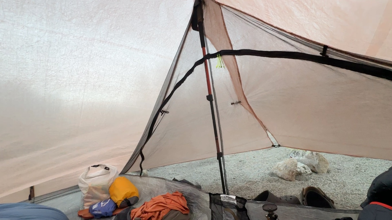
Shelter, bed, kitchen and everything else.
I will create a detailed overview of everything I am taking on my hike shortly on LighterPack including the oh so important weights of each item.
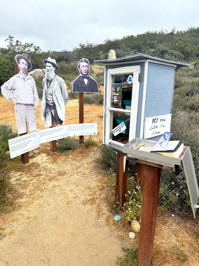
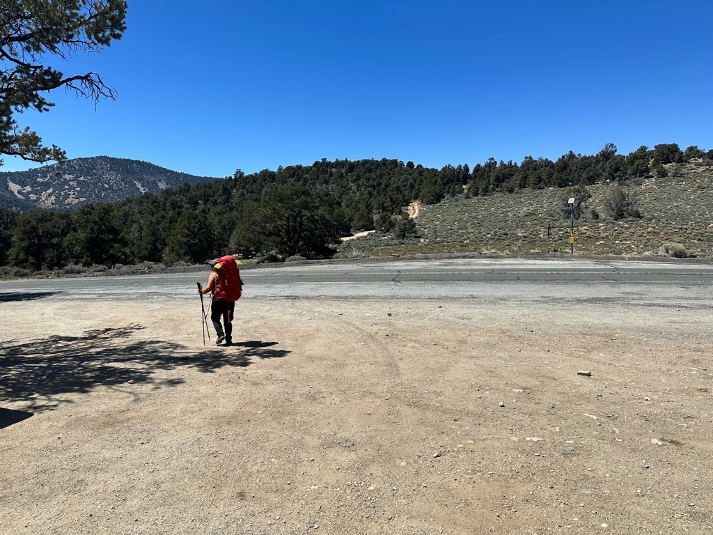
Welcome to my PCT journey, or Journo as they call them here.
Every aspiring thru-hikers’s blog has to basically start with a picture of the gear. So here is mine:
Shelter, bed, kitchen and everything else.
I will create a detailed overview of everything I am taking on my hike shortly on LighterPack including the oh so important weights of each item.
![]()
![]()
![]()
![]()
![]()
![]()
OR
Copy the link to @CarstenN Journo below
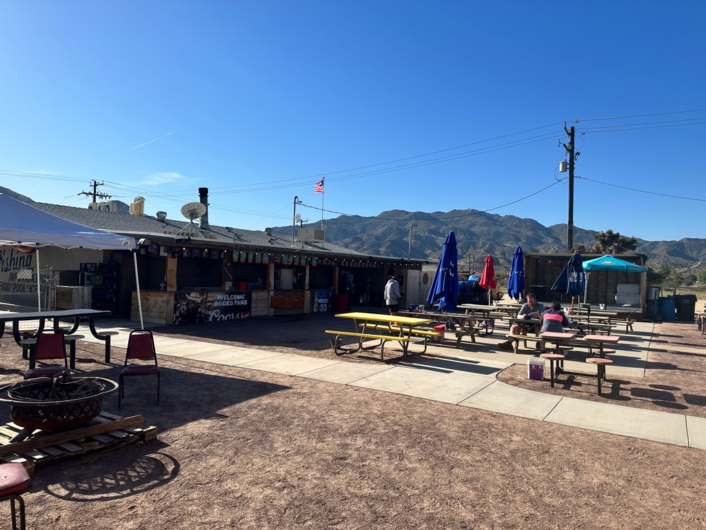
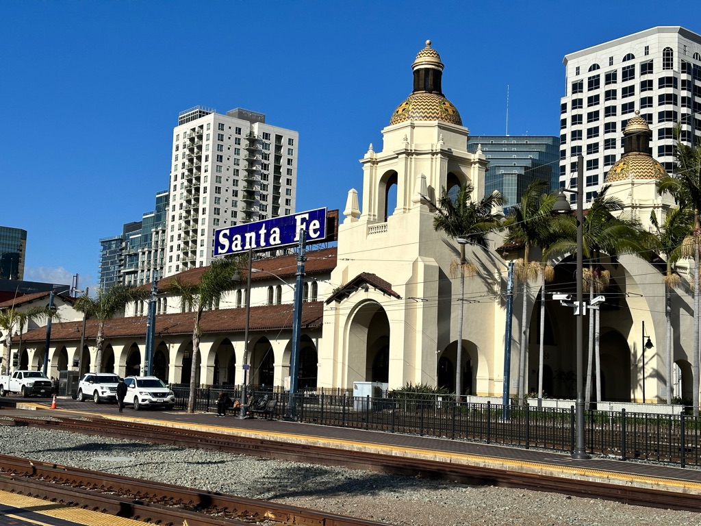
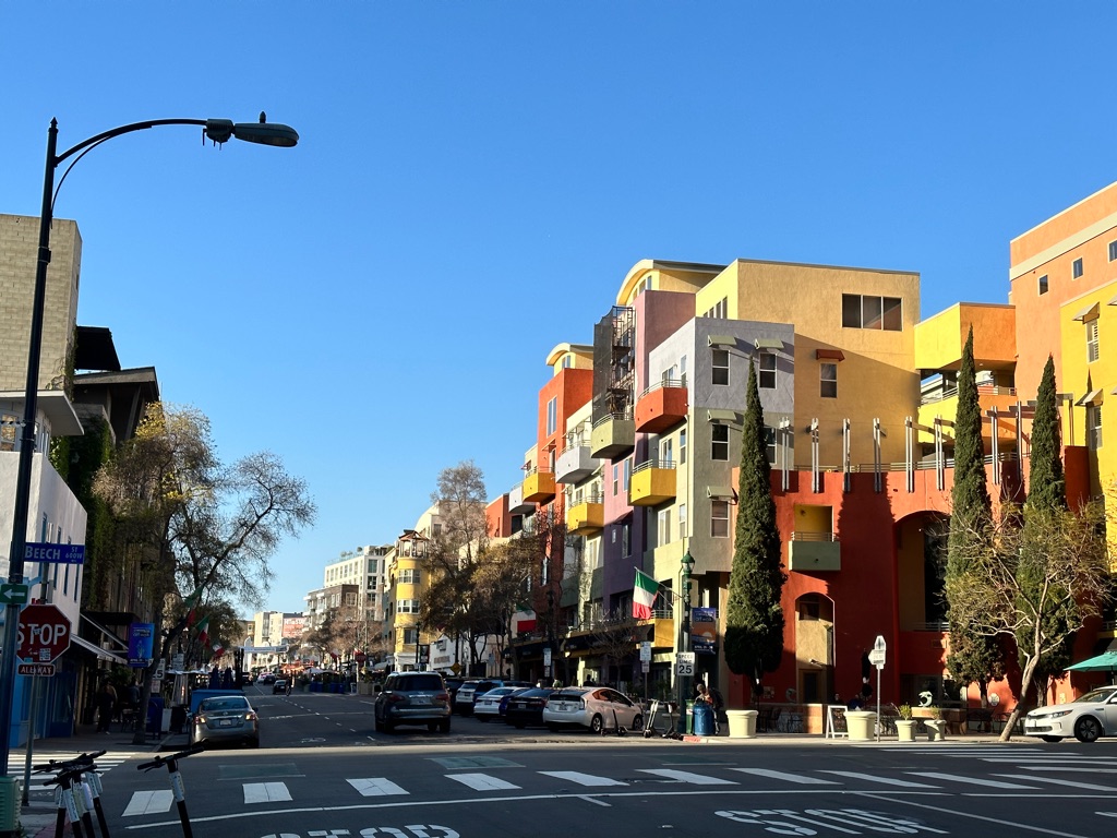
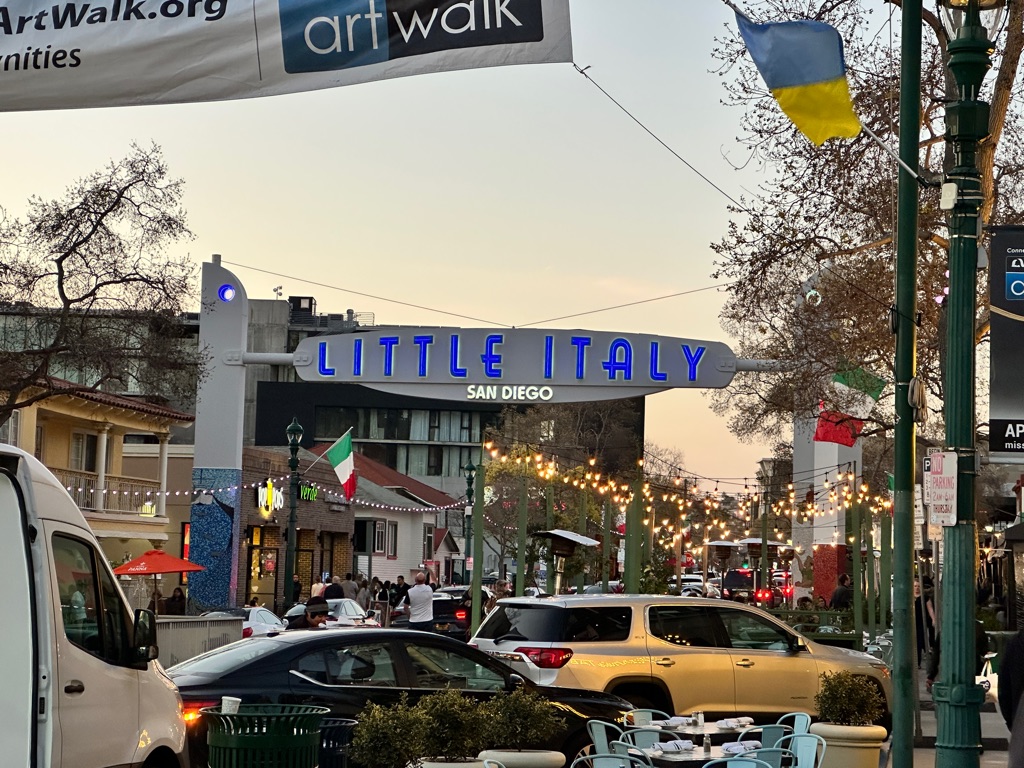
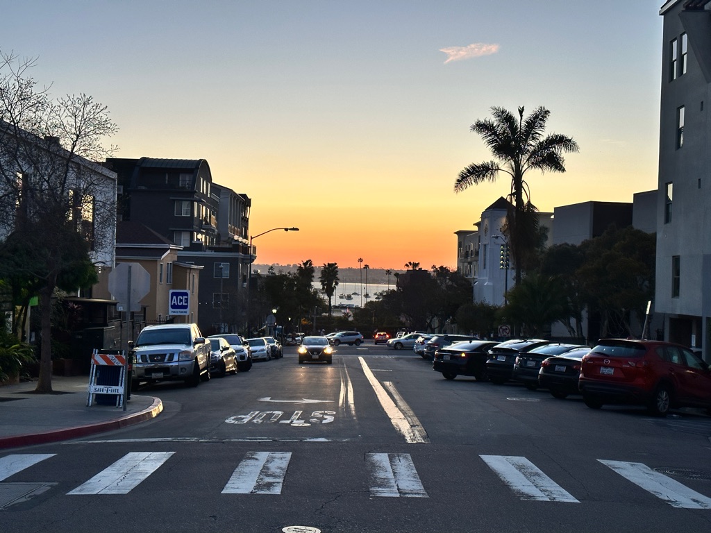
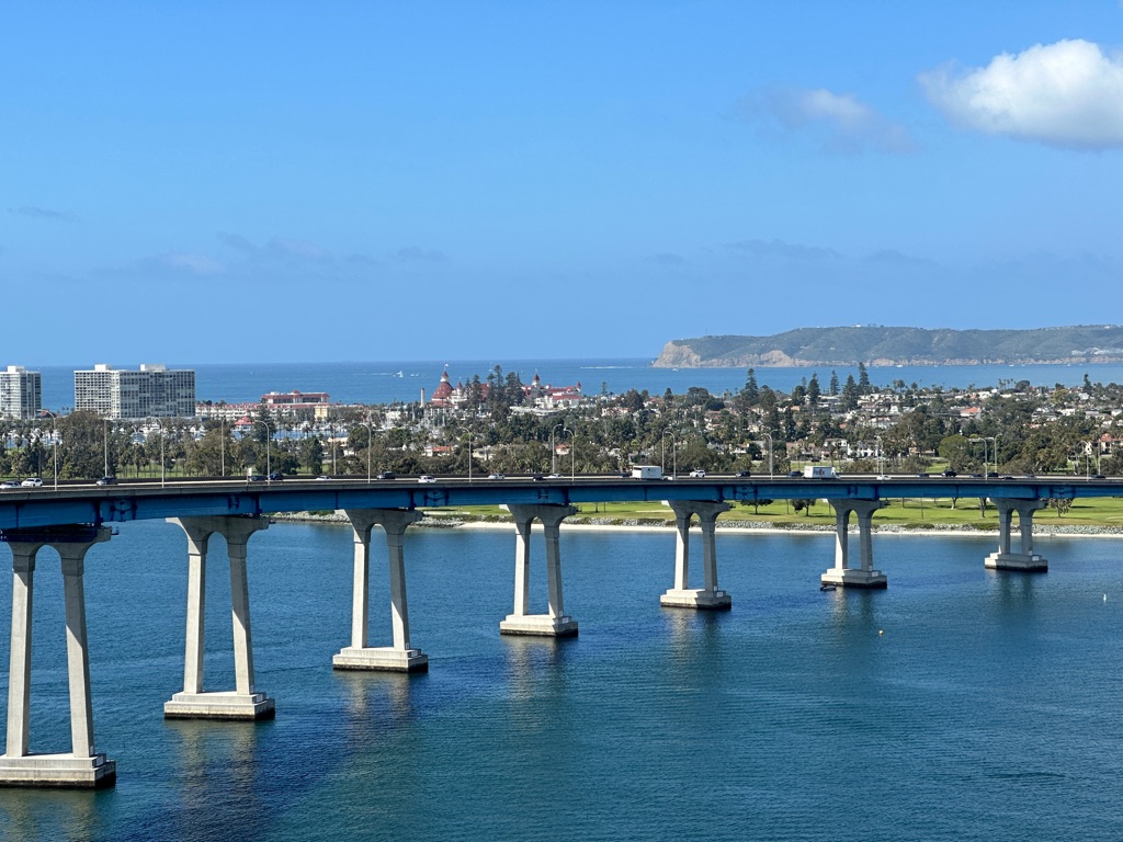
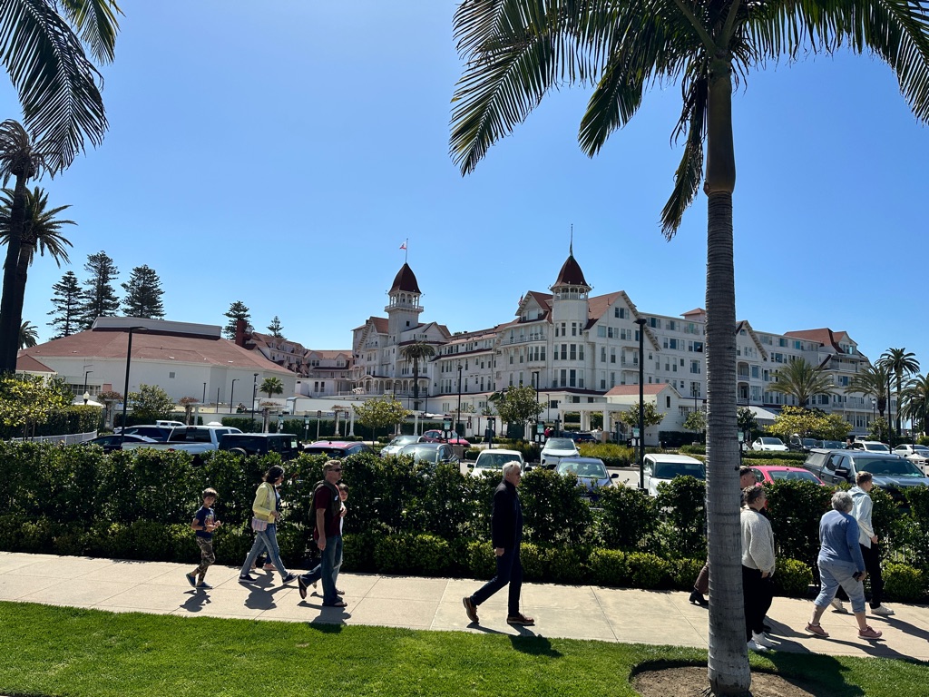
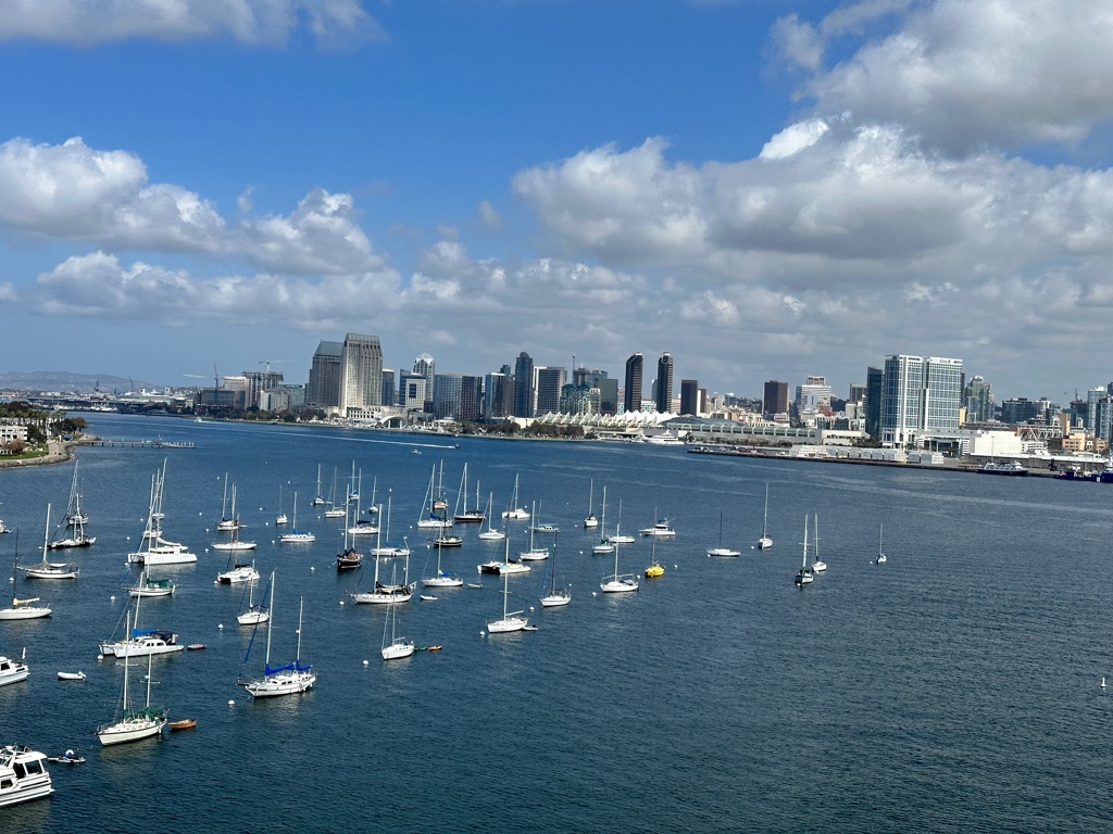
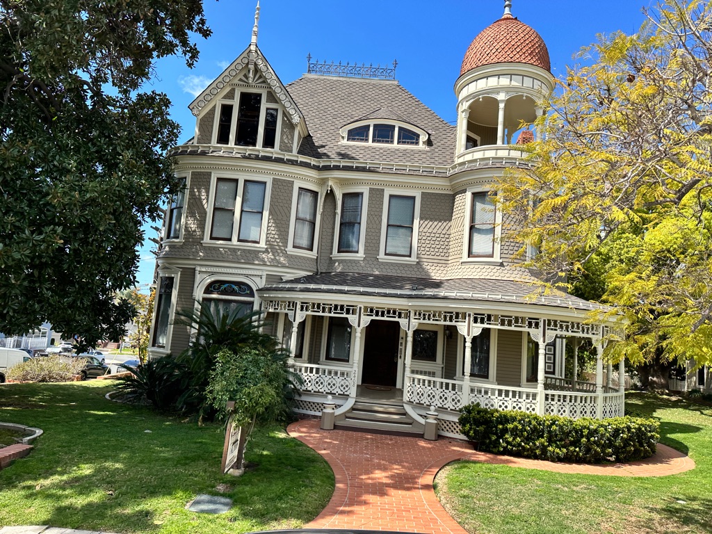
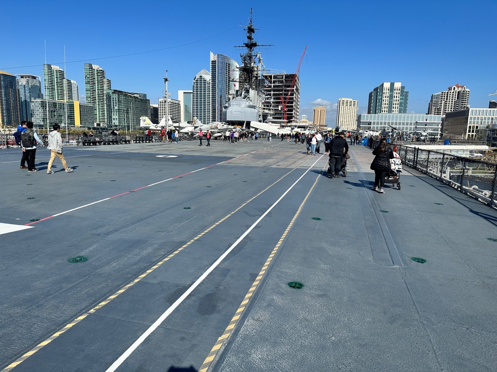
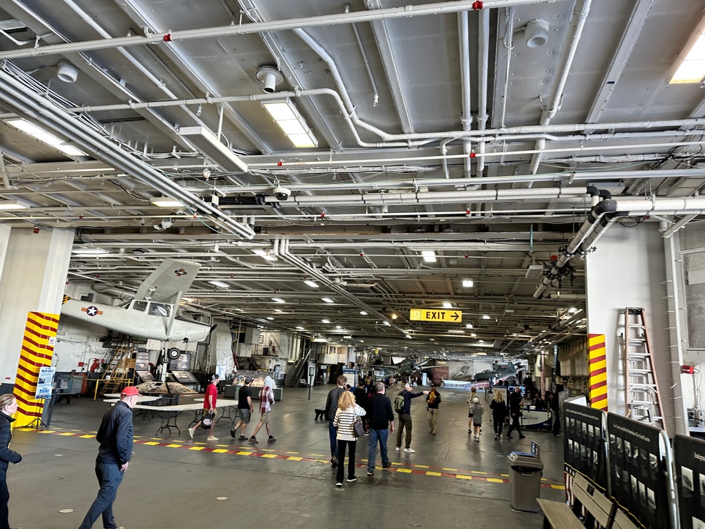
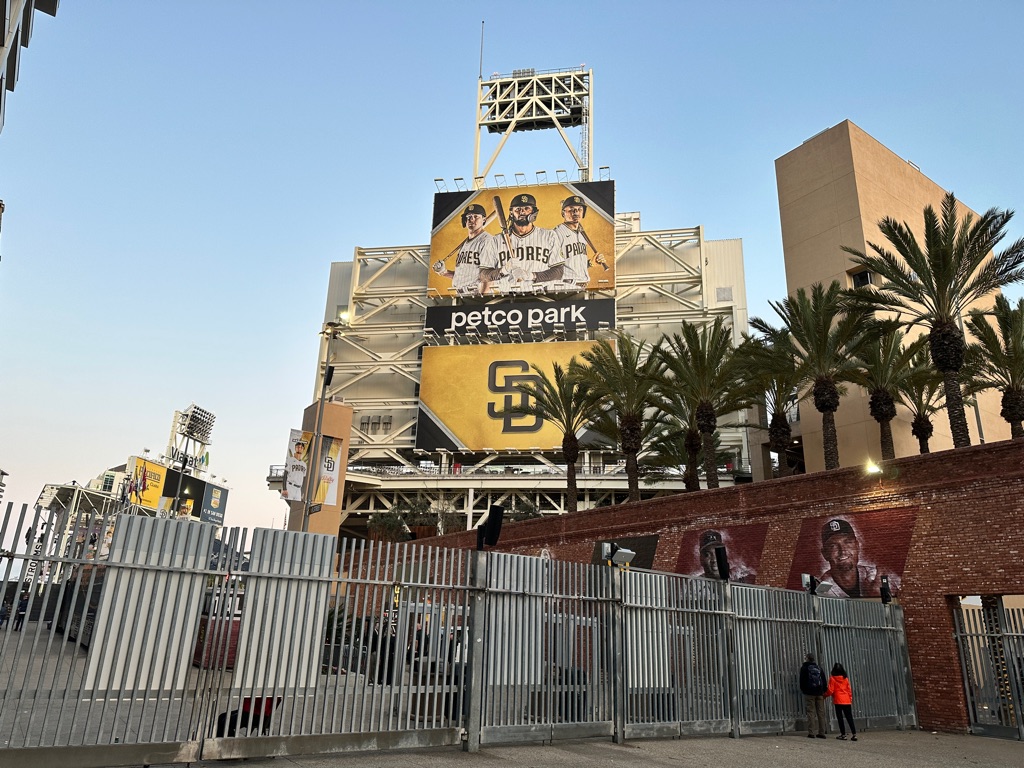
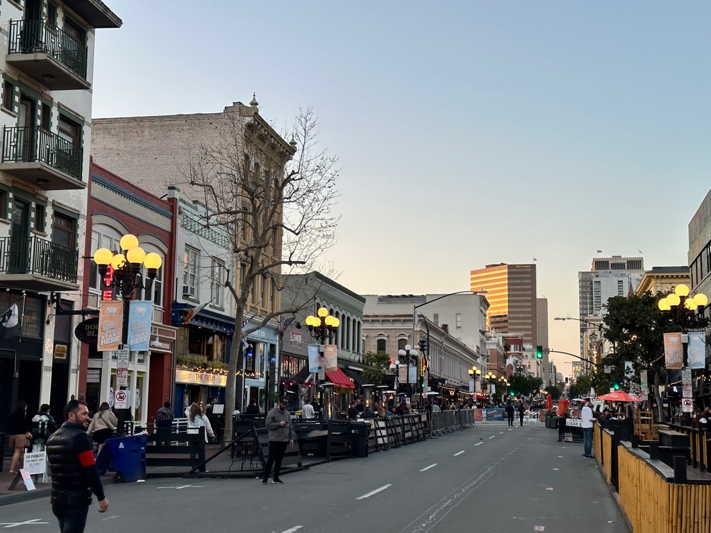
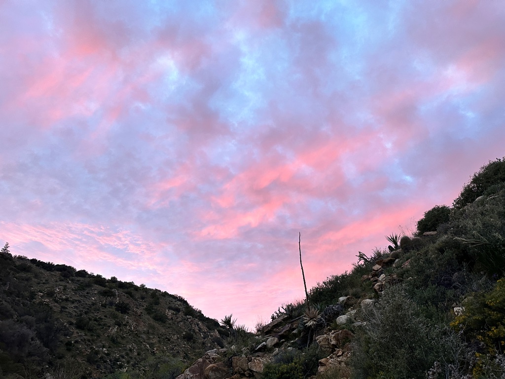
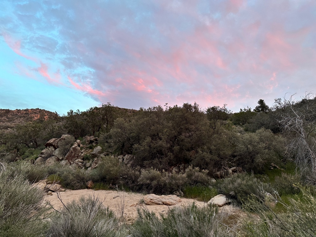
Before I start my hike on March 28, I spent a few days in San Diego. Here are a couple of pictures from the spots I visited.
![]()
![]()
![]()
![]()
![]()
![]()
OR
Copy the link to @CarstenN Journo below
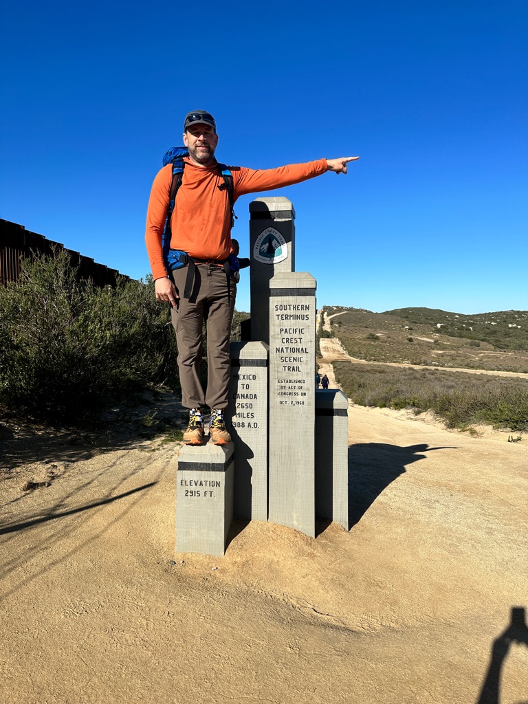
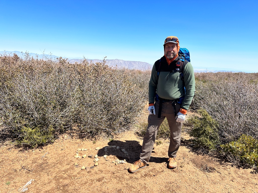
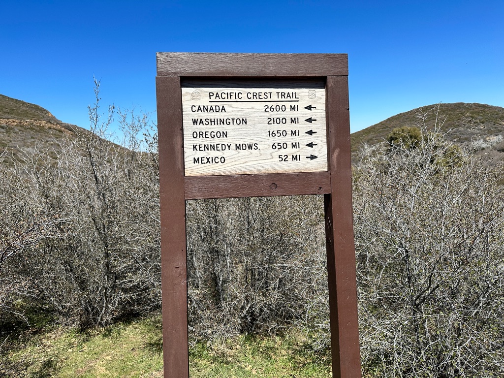
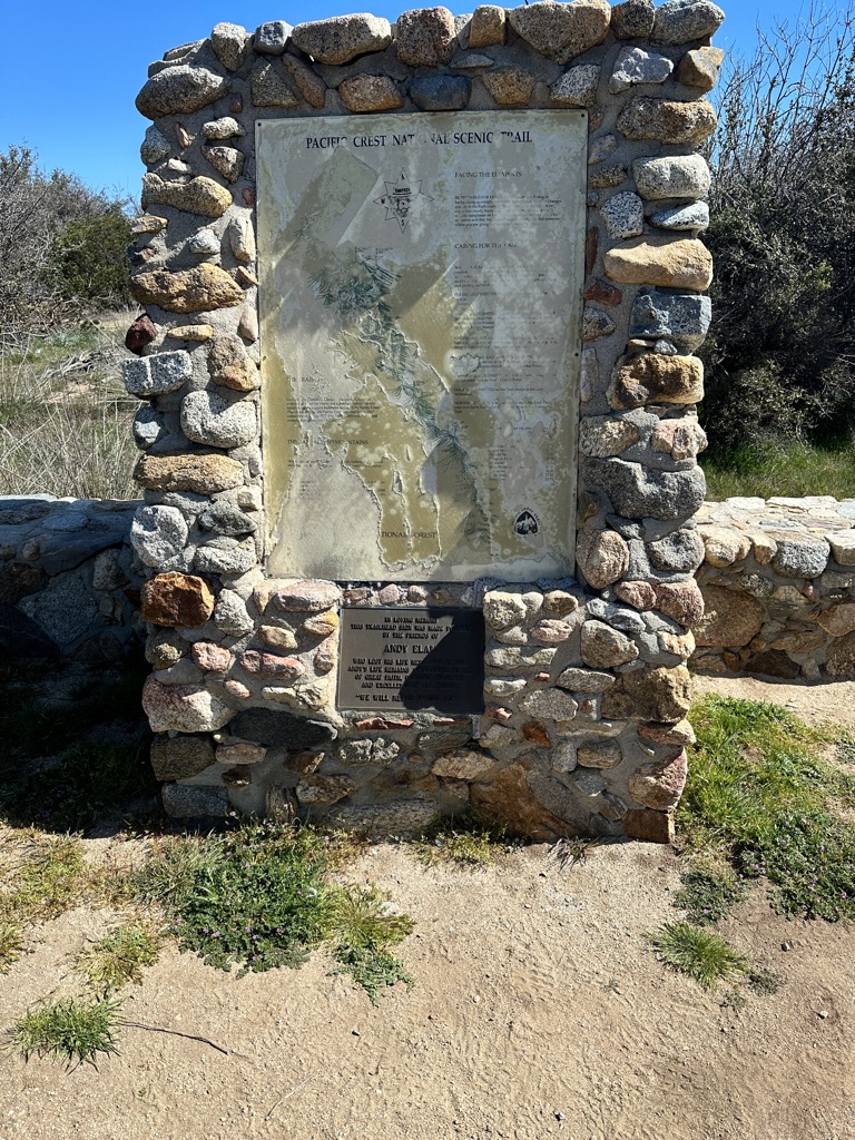
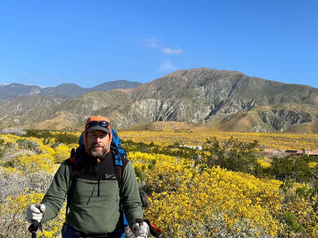
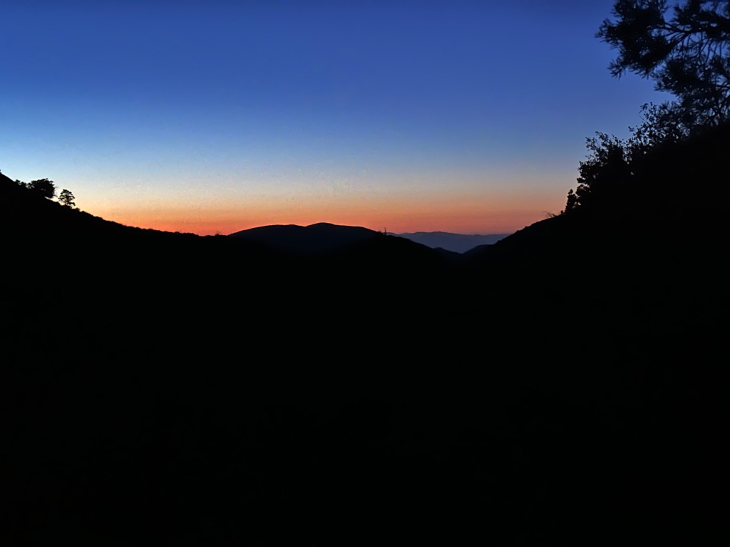
The obligatory Southern Terminus Monument picture. The pack is way too heavy, but I am carrying a lot of food. Well, I have 2650 miles to optimize the weight.
![]()
![]()
![]()
![]()
![]()
![]()
OR
Copy the link to @CarstenN Journo below
After a late start with lots of picture taking at the the terminus, three of us who met on the shuttle the day before, got going.
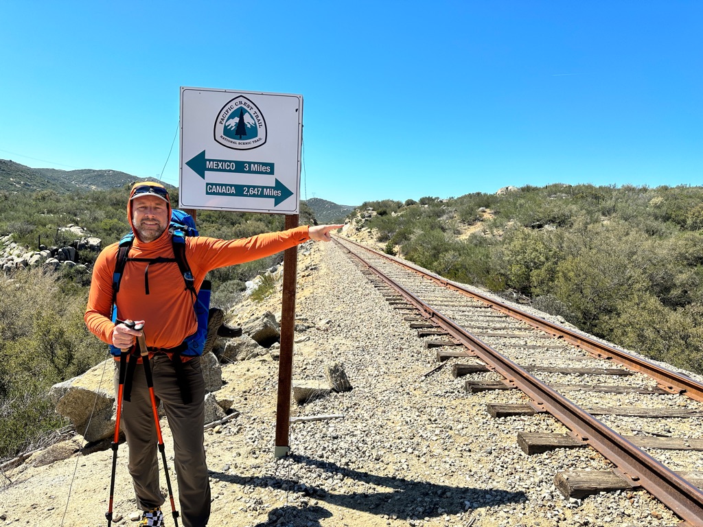
3 miles done
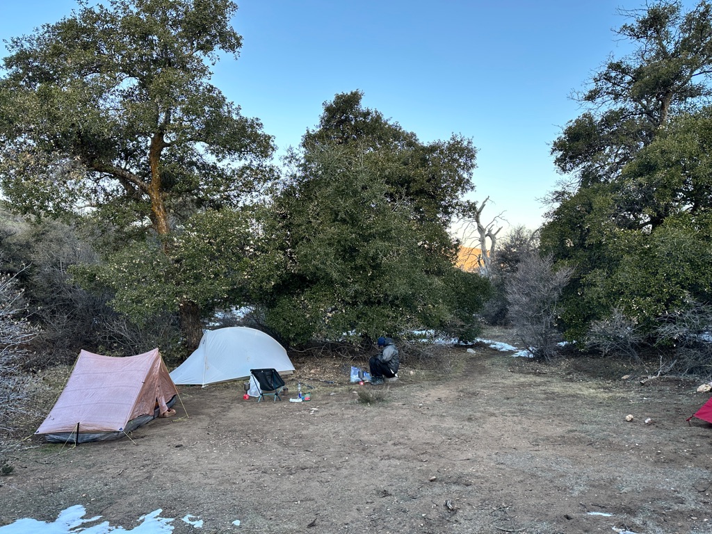
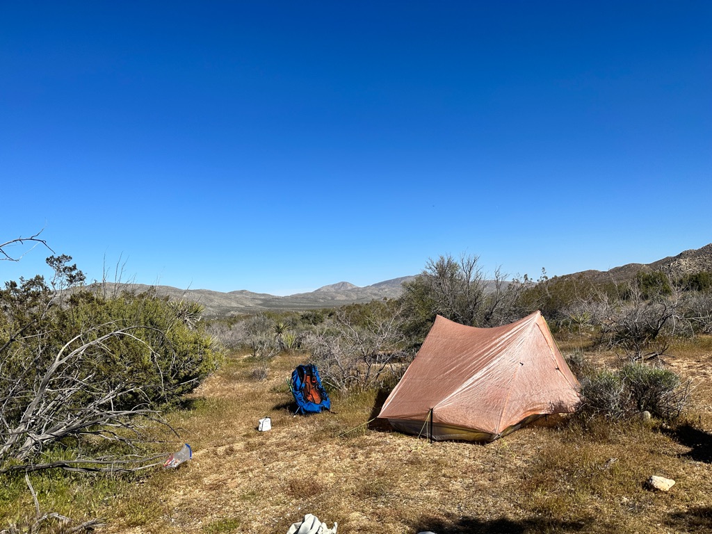
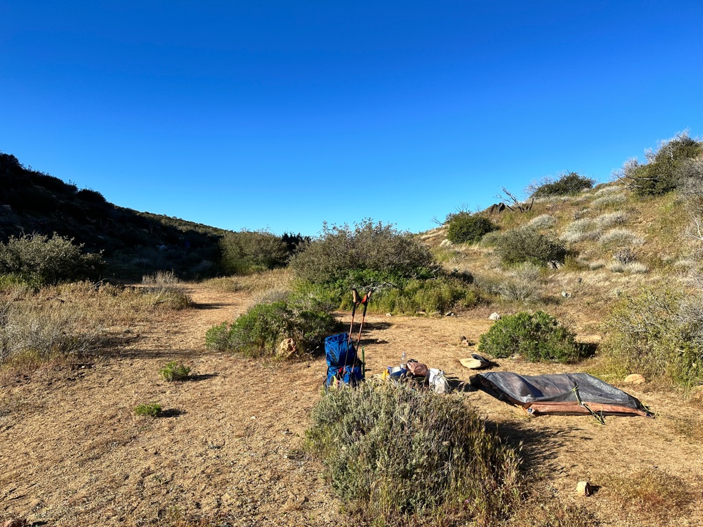
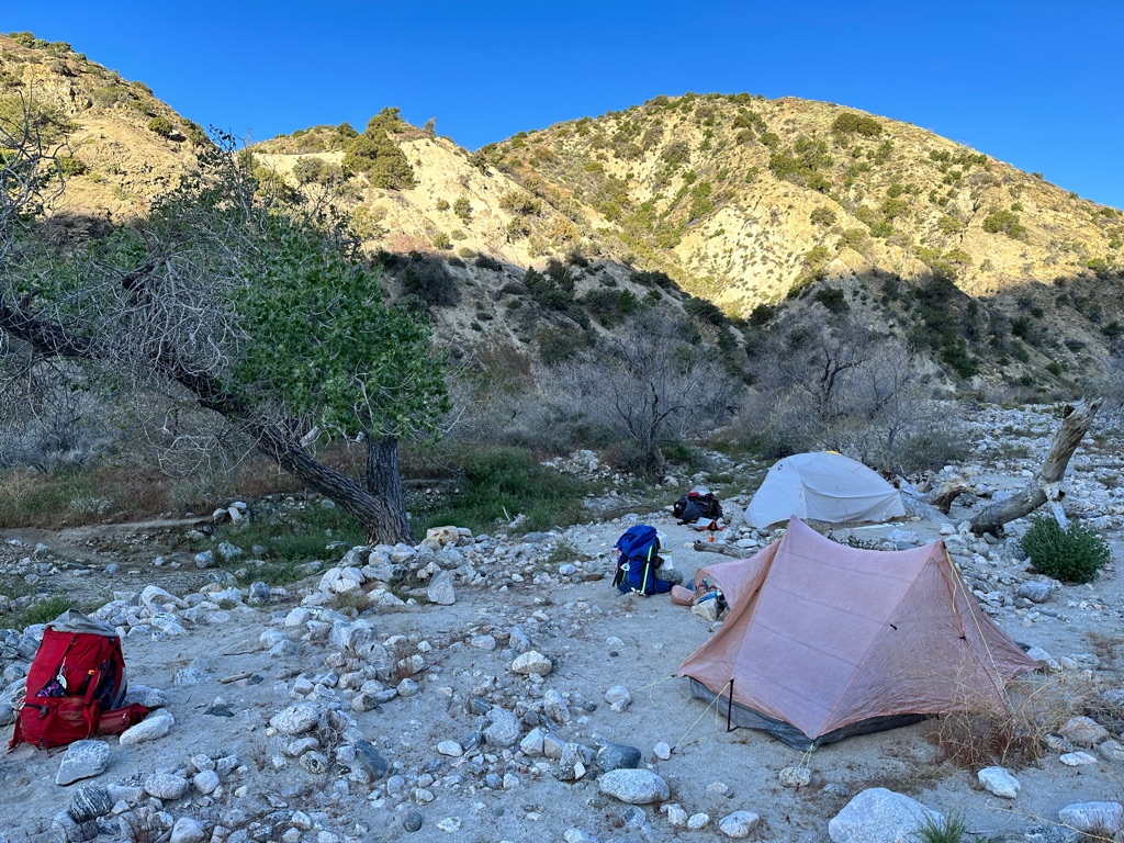
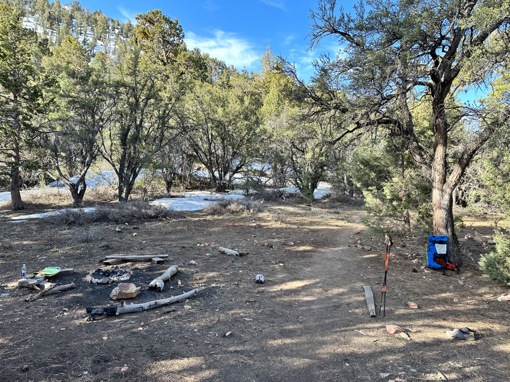
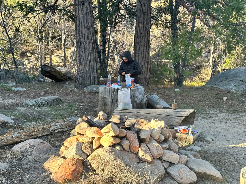
We took quite a few breaks and made it only around 8 miles, which were surprisingly hard, before we set up camp.
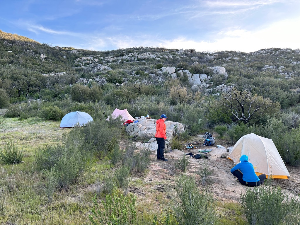
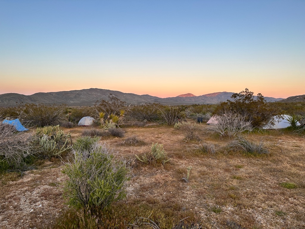
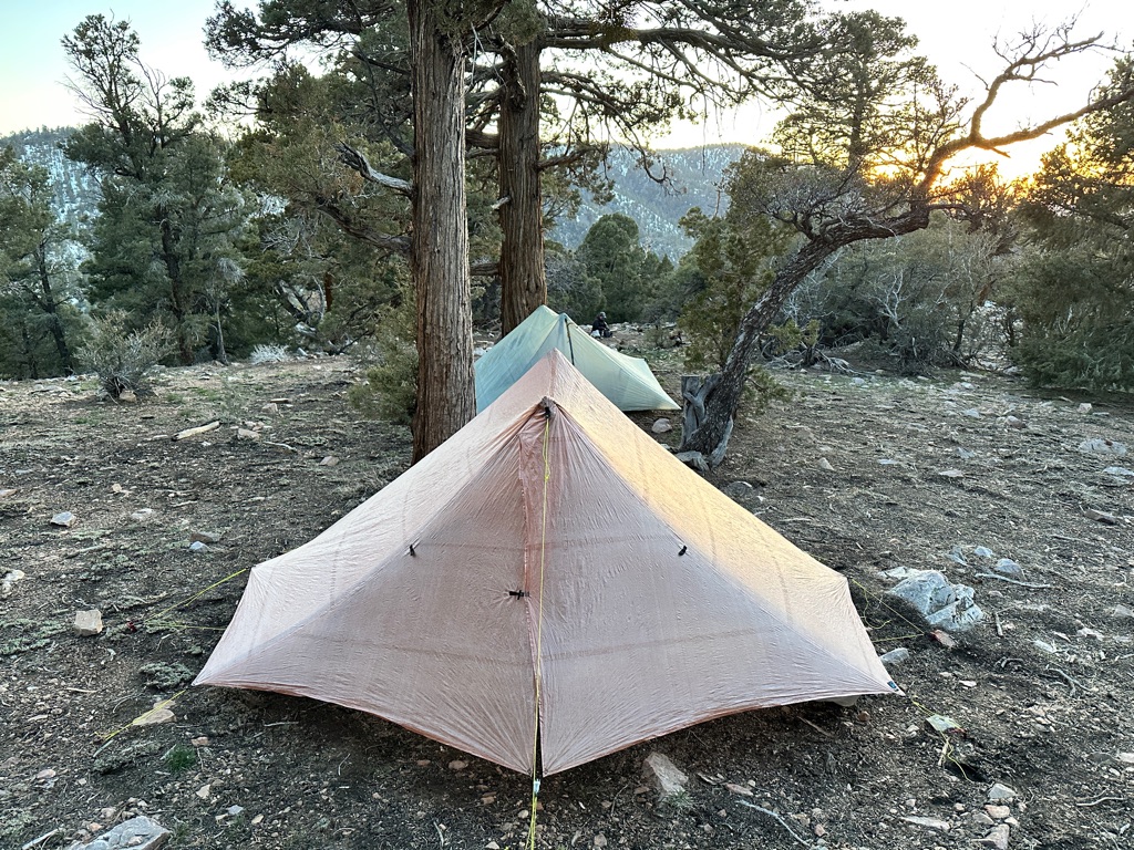
The first campsite
![]()
![]()
![]()
![]()
![]()
![]()
OR
Copy the link to @CarstenN Journo below
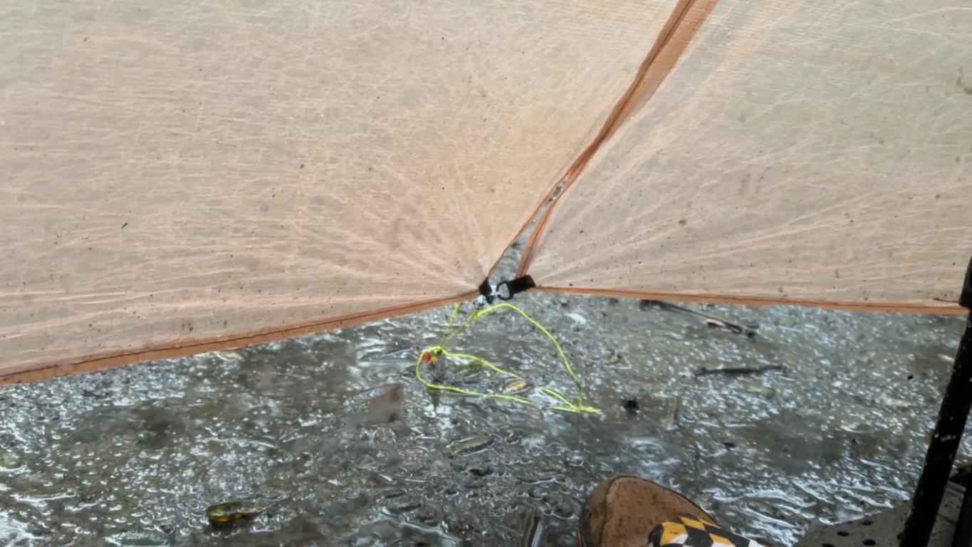
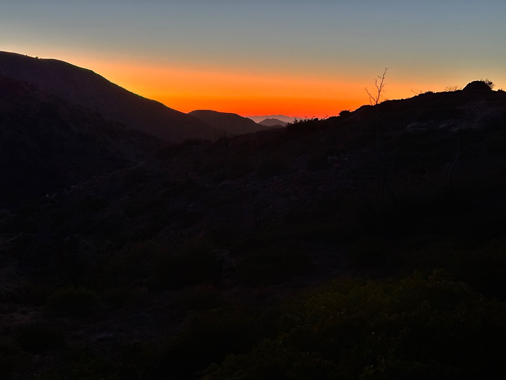
Day 2 started sunny, but as forcasted the rain started around noon. We only did a little bit over 6 miles and set up camp at 1.30pm already, unfortunately in the rain, at Hauser Creek. Staying out of the rain ended up as an afternoon nap.
We caught a break in the rain in the evening to do dinner outside, but it the rain came back soon and it kept raining through yhe night.
To make things more interesting the rain turned to hail in the morning, which meant breakfast in the tent.
Hail at Hauser Creek
At least the rain stopped for packing up afterwards and we started the 5 miles to Lake Morena in the sun. This didn’t last, though and it was raining again before we arrived.
![]()
![]()
![]()
![]()
![]()
![]()
OR
Copy the link to @CarstenN Journo below
In Lake Morena we shared a simple cabin and added “Gritty” (trailbame) to our hiking party. We tried to dry our gear, but were only semi successful. The burger at the Malt Shop was great though.
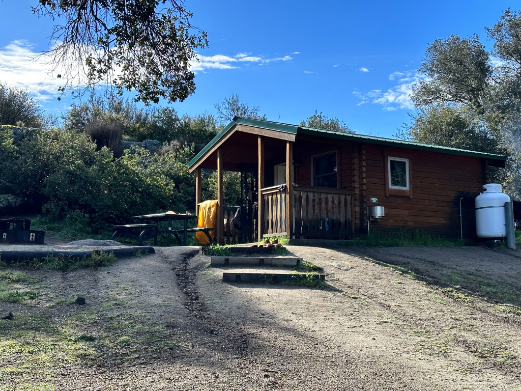
Cabin #8
Simple but pure luxury after a night in the rain.
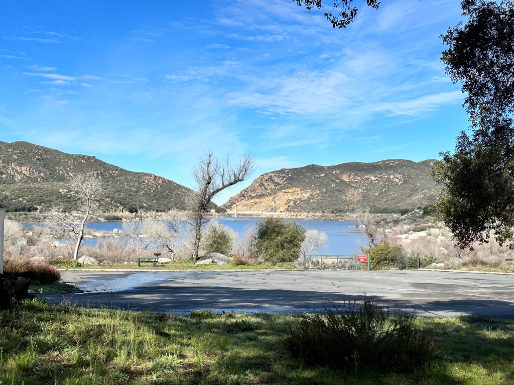
Lake Morena
![]()
![]()
![]()
![]()
![]()
![]()
OR
Copy the link to @CarstenN Journo below
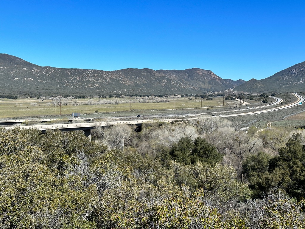
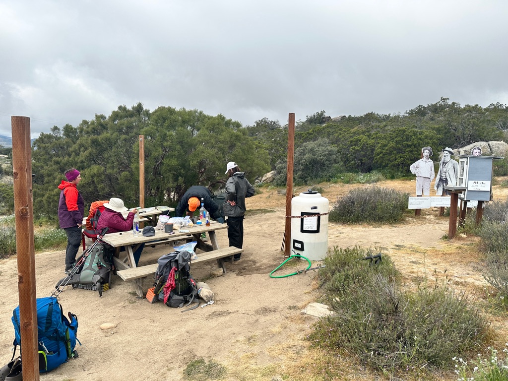
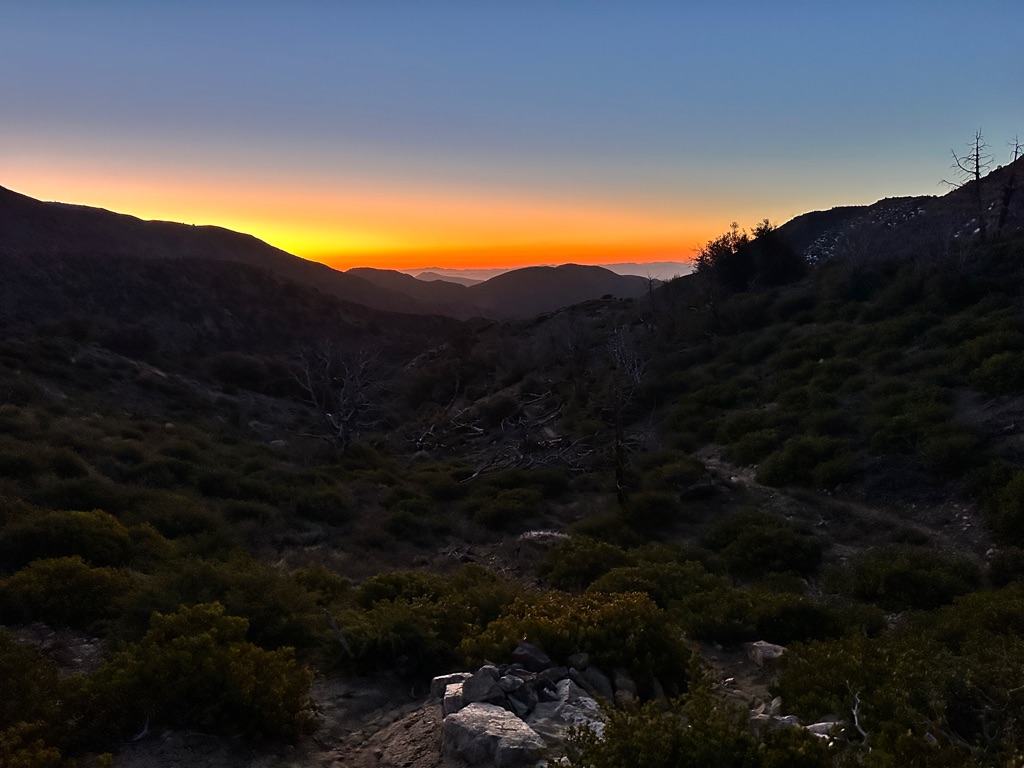
The sun was back and we did a short 6.7 miles to the Boulder Oaks official campground near Interstate 5. There we got our PCT Tags and even had a campfire in the evening.
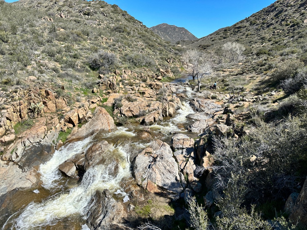
First water crossing, but only knee deep.
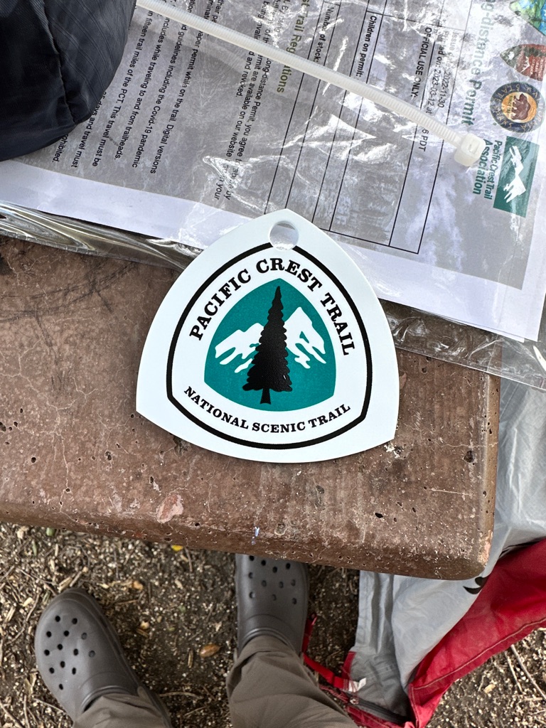
I’m an official PCT hiker now.
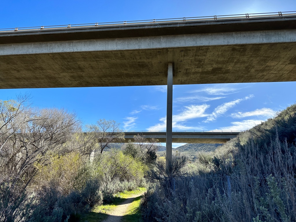
I 5 bridges.
I 5 now behind us.
![]()
![]()
![]()
![]()
![]()
![]()
OR
Copy the link to @CarstenN Journo below
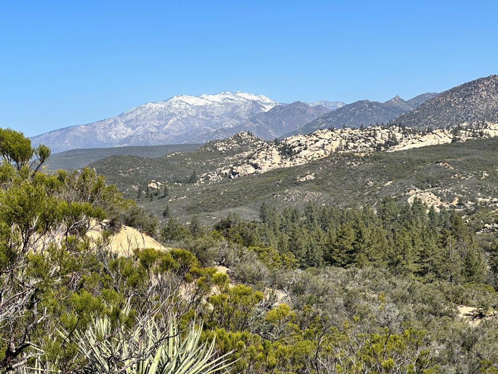
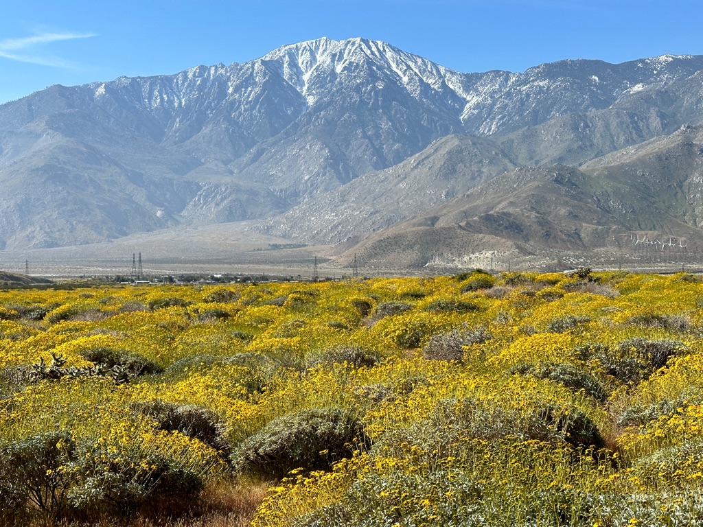
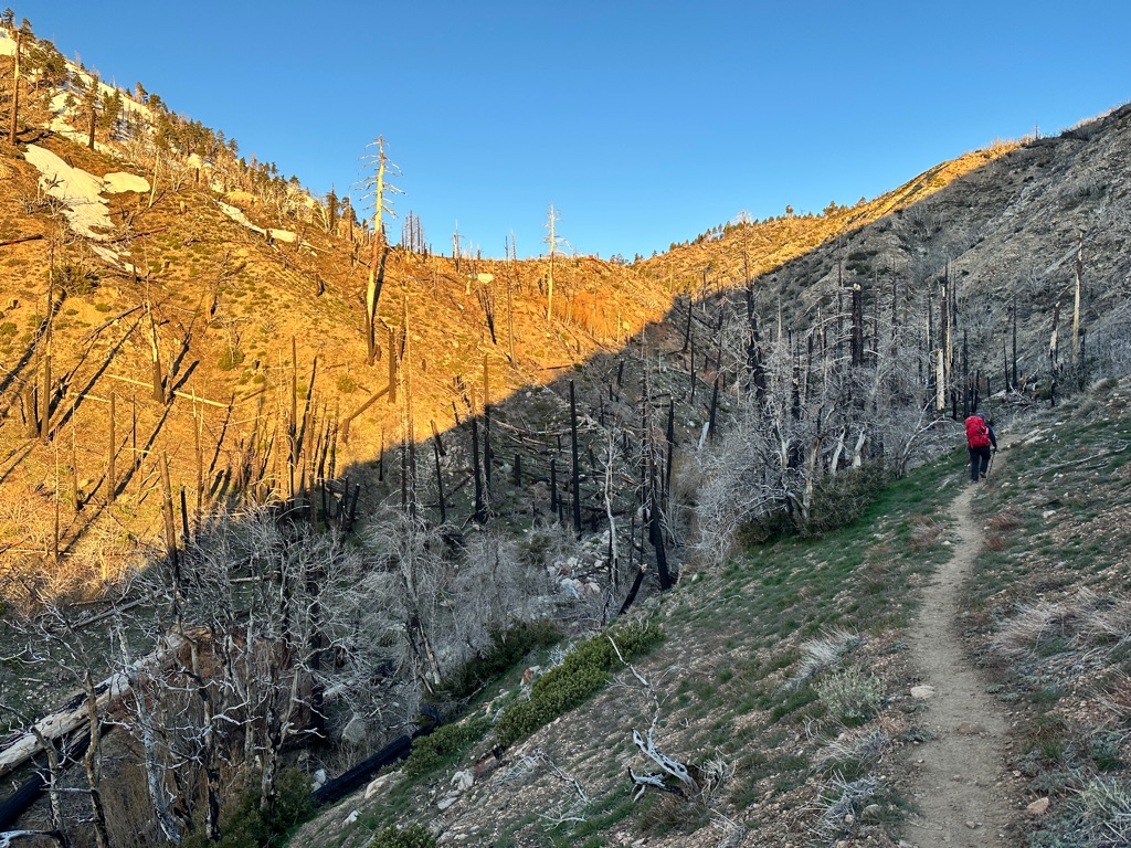
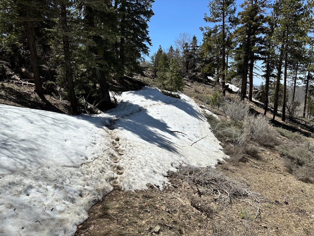
We are finally picking up the mileage: 10.4 miles today! Lots of elevation gain since we are heading towards Mount Laguna at 6000ft.
The nights are still cold, at or slighty below freezing and everybody is bundling up in multiple layers.
Break at a waterfall.
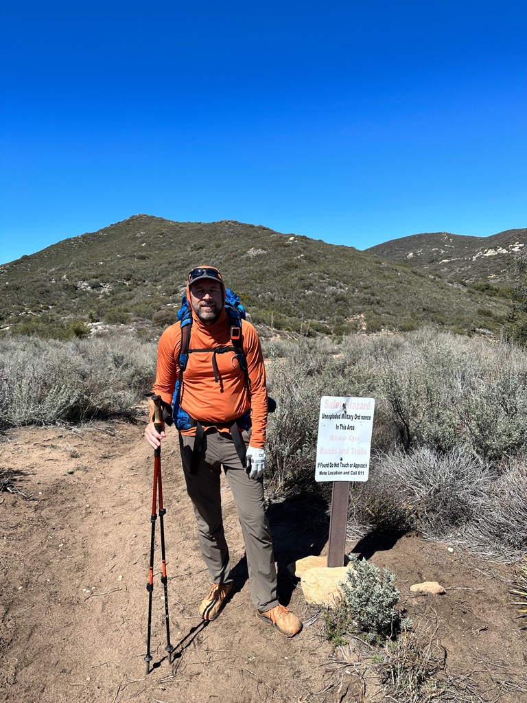
There was a military area here it seems. Good motivation to stay on trail. 😁
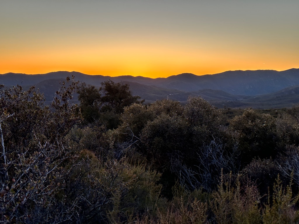
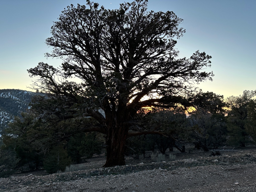
Sunset at our campground.
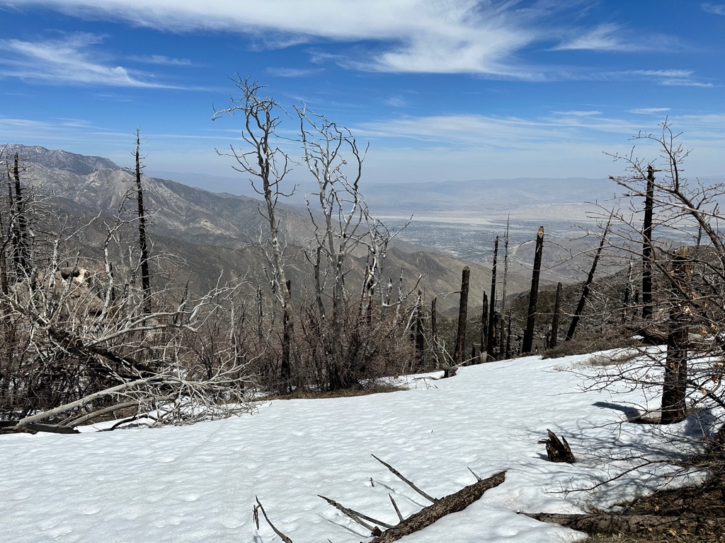
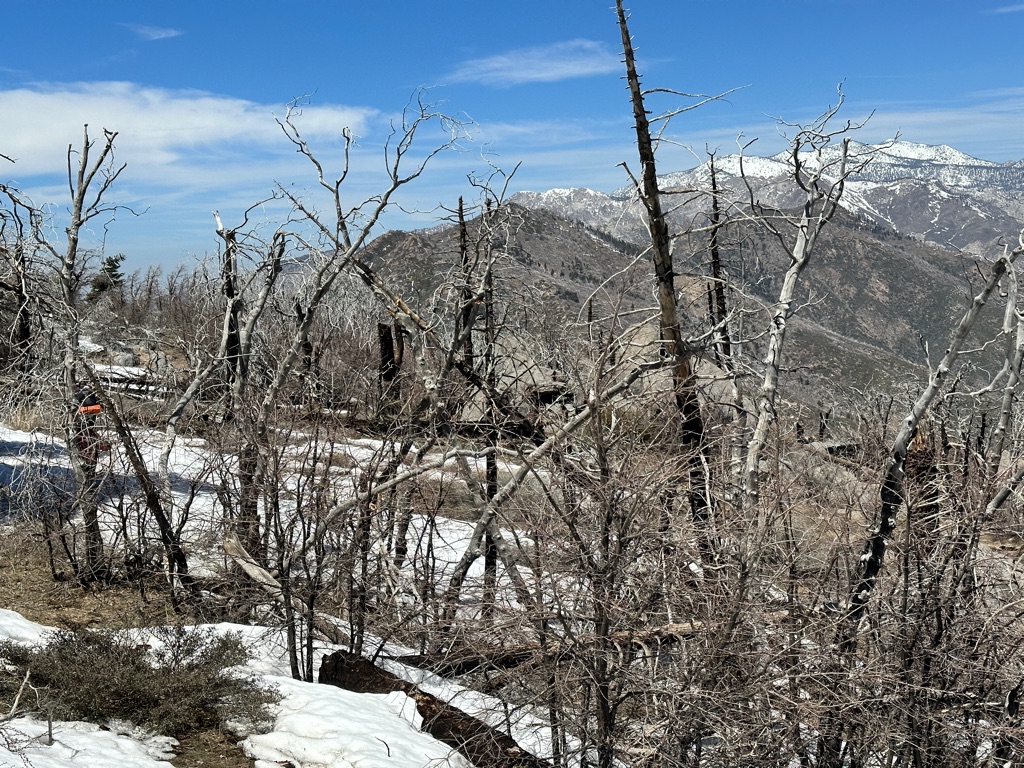
Still some snow around.
![]()
![]()
![]()
![]()
![]()
![]()
OR
Copy the link to @CarstenN Journo below
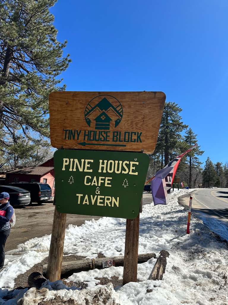
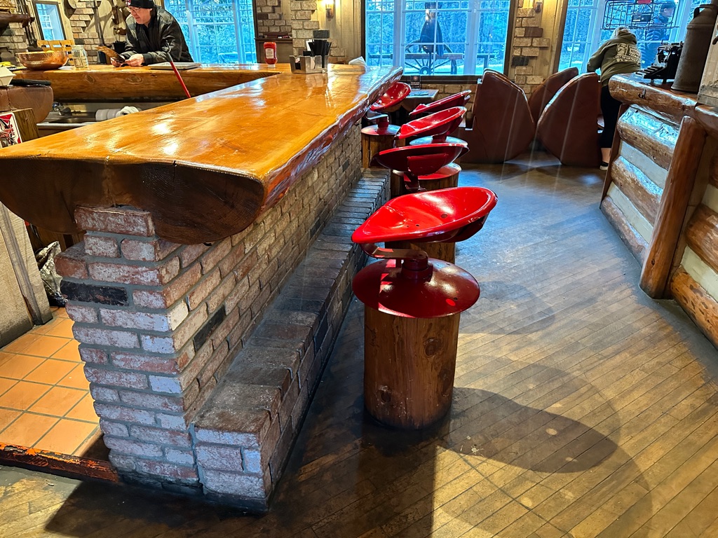
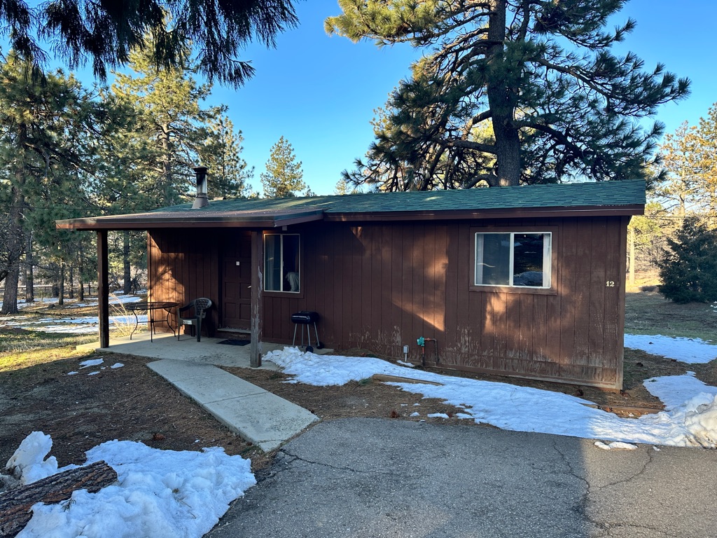
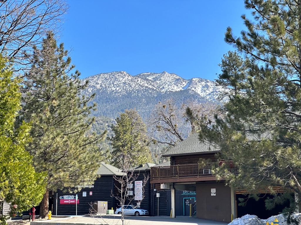
Another short day, but since we reached Mt Laguna around lunchtime we had areal lunch at the Pine House Cafe. After that we checked into our hostel, had a shower and did laundry for the first time. We made some new friends, resupplied at the Lodge store and went for dinner and a beer.
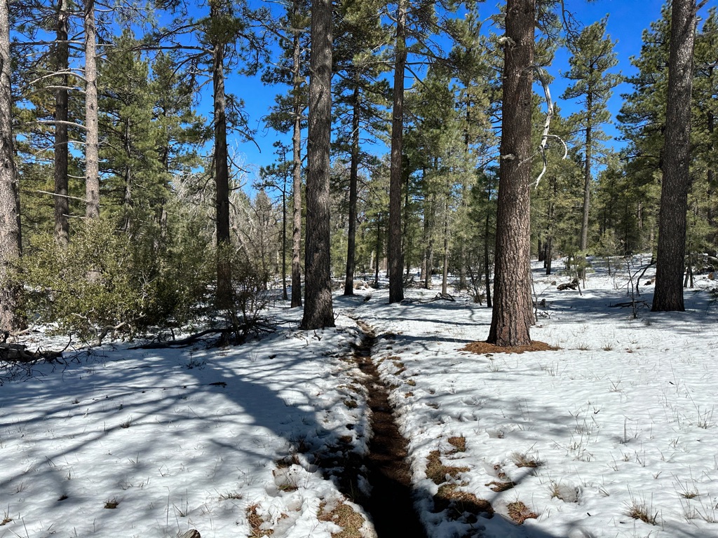
At 6000 ft there was still quite a bit of snow on the ground.
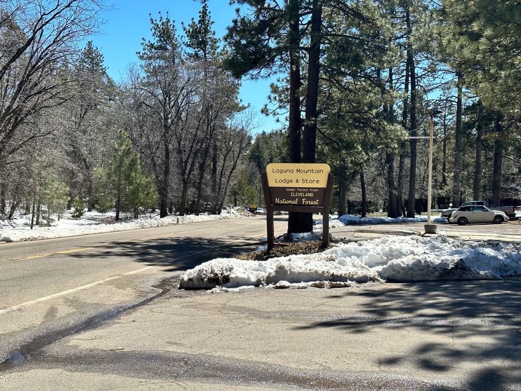
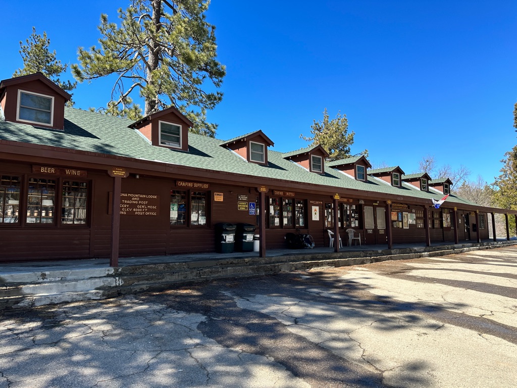
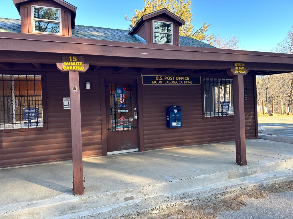
The Lodge, store and post office.
![]()
![]()
![]()
![]()
![]()
![]()
OR
Copy the link to @CarstenN Journo below
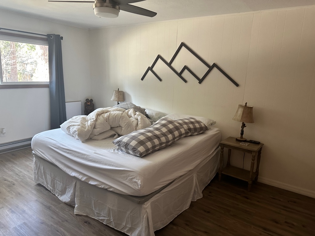
The original plan was to leave Mount Laguna today in spite of the forecasted (and actual) storm with up 80mph gusts. But when the icicles got blown off the trees in morning and we realized how cold 22F (-6C) overnight plus the massive windchill factor would be, we decided to take a zero (mile day) and get a cabin at the lodge for the following night asap, since our hostel was fully booked already.
Luckily we got a spot and spent the day hanging out at the Cafe, cooking dinner in the cozy warm cabin and even watching some TV. Definitely the right decision considering how cold it got during the night.
Our warm home for the night.
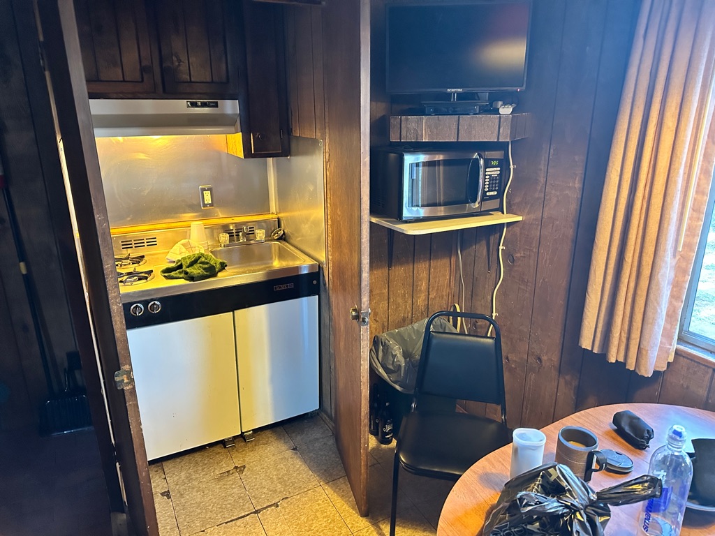
This what luxury accommodations look like for hikers.
I already mailed my first items back. Weight optimization is on every hikers mind, especially during the first weeks.
![]()
![]()
![]()
![]()
![]()
![]()
OR
Copy the link to @CarstenN Journo below
Finally the long overdue update. I am actually writing this on April 21 and it’s amazing how quickly the last 2 1/2 weeks went by. Before I get to the “regular” updates it seems a good idea to define/explain a few thru hiker terms that will keep coming up in the future.
Trail Name: A name based on an event/trait/habit that is usually suggested by your fellow hikers. Some people give themselves a trail name. In my Tramily (see below) only Gritty has a trail name so far, because she showed a lot of grit in her first days on trail. Other examples are NotDave, who’s real name is Brian. People kept asking him if he is Dave and he quickly became NotDave.
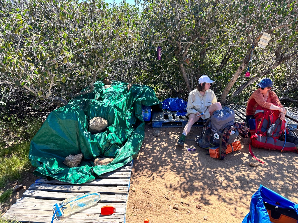
Tramily: the group of people you end up hiking with for days, weeks or months. You meet a lot of hikers on the trail and if you get along and do a similar pace you become a Tramily quickly. My Tramily for the last three weeks consists of Gritty, 19 years young from South Dakota, Katrin, 35, from Munich (there are tons of Germans on the trail) and me. The funny thing with our Tramily is that we have been mistaken for an actual family a couple of times already and people got really confused about the languages and accents involved, before they realized we are not a real family.
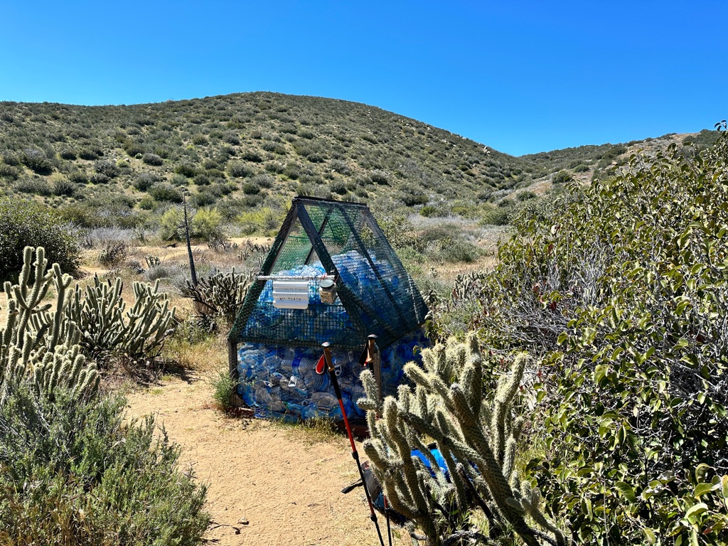
Trail Angel: a person, often a former thru hiker or serious backpacker, who provides Trail Magic (see below) or services like rides to and from town, places to sleep, laundry or food to hikers. I am absolutely blown away by the trail angels we interacted with so far. I heard about trail angels before, but I had no idea how generous and helpful they are. We did not have to hitchhike into town or back to trail once, we always got a ride or managed to organize one almost like Uber, whenever we needed it. Donations for gas money are recommended and very much appreciated, but there is no way the cover the the wear and tear on the car, let alone the hours trail angels put in. We stayed in a trail angel’s backyard, used her shower and washing machine,she drove us to Walmart to resupply and made dinner and breakfast for us and another group of 3. All of this for a $30 donation per person! On ling dry stretches traul angels maintain water caches for hikers, the biggest one I saw so far was several pallets with hundres if not thousands of one gallon water bottles.
Trail Magic: water caches or drinks, snacks, fruits and even beer trail angels bring to tent sites or other places along the trail fo free for all hikers. We had snacks at a viewpoint off a highway in the middle of nowhere, cold beer and soft drinks at a tent site and the aforementioned water cache.
Zero: a day with zero miles hiked.
Nero: a day with nearly zero miles hiked.
Now back to the daily update:
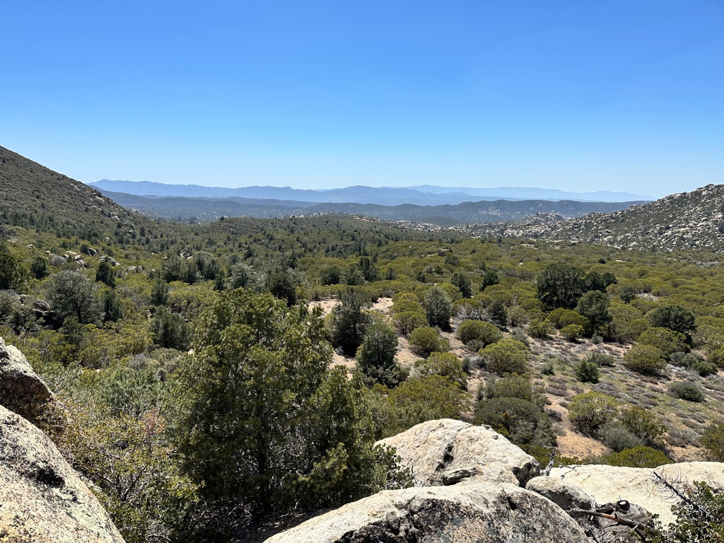
We finally started to increase the mileage and hiked 14.3 in great weather. The first trail magic happened and we arrived at a quite busy tent site relatively late, so we had to find spot up the creek.
The Overlook where got trail magic for the first time.
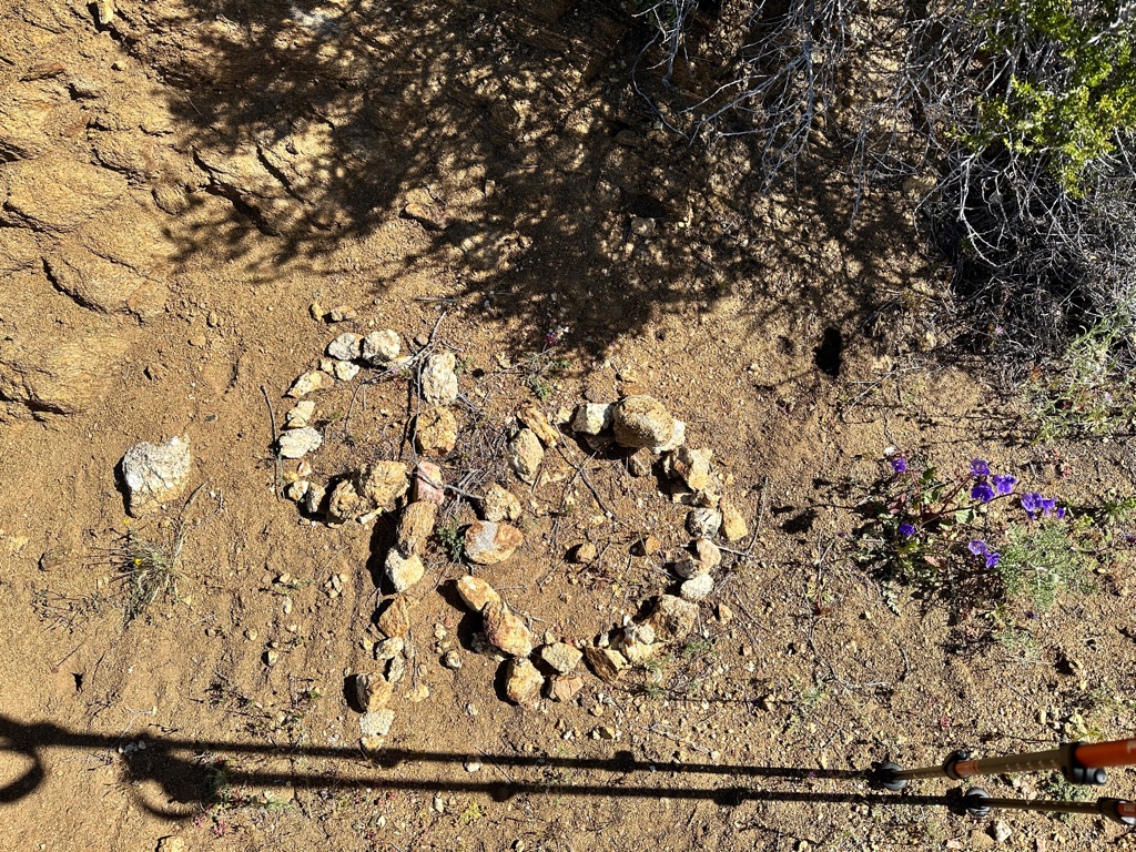
50 miles done…
… only 2600 to go.
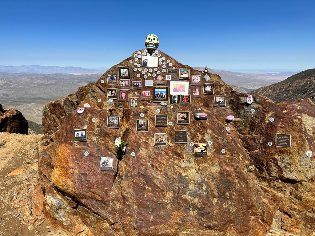
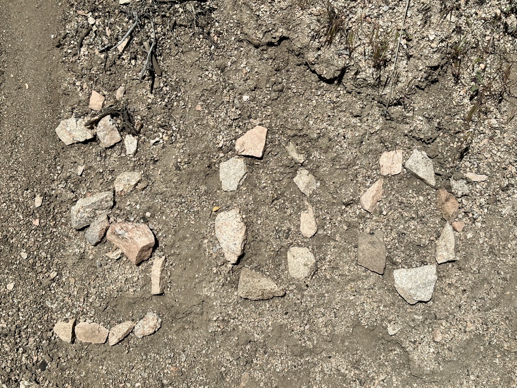
A memorial along the trail, which is an old road here. Why and how this came about, I don’t know.
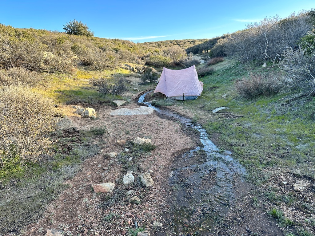
Camping right next to the creek.
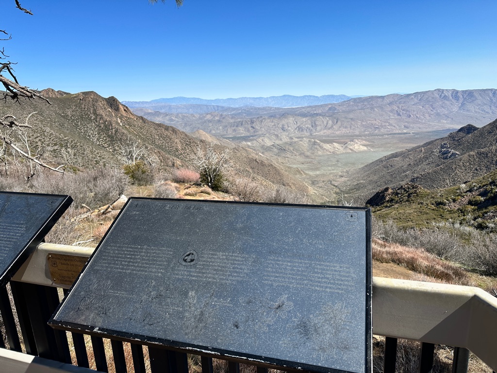
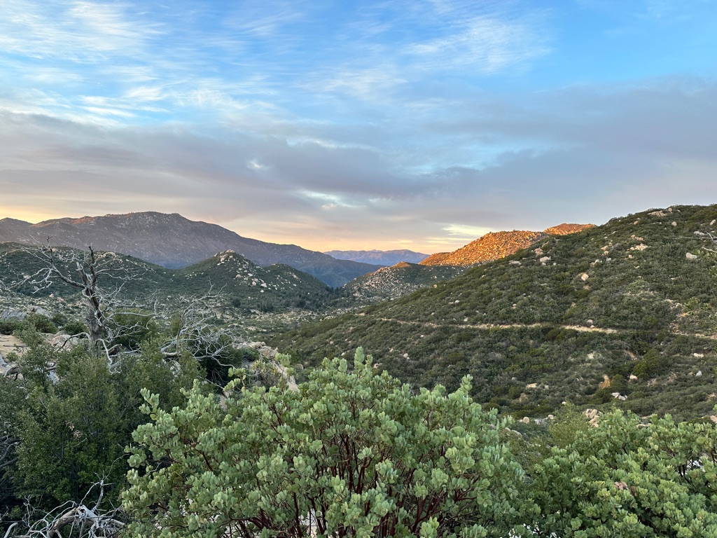
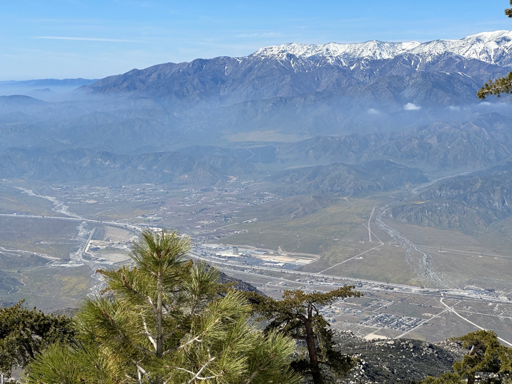
View over the valley.
Yes, that is a person on the rock on the right.
![]()
![]()
![]()
![]()
![]()
![]()
OR
Copy the link to @CarstenN Journo below
Not much happening today. We bumped into a few hikers, we met before. Turns out this happens all the time if you have a somewhat similar speed; we have been leapfrogging people several times a day or a week.
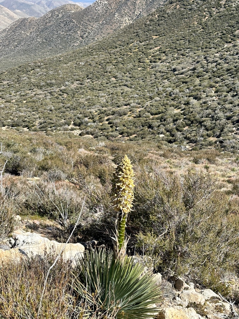
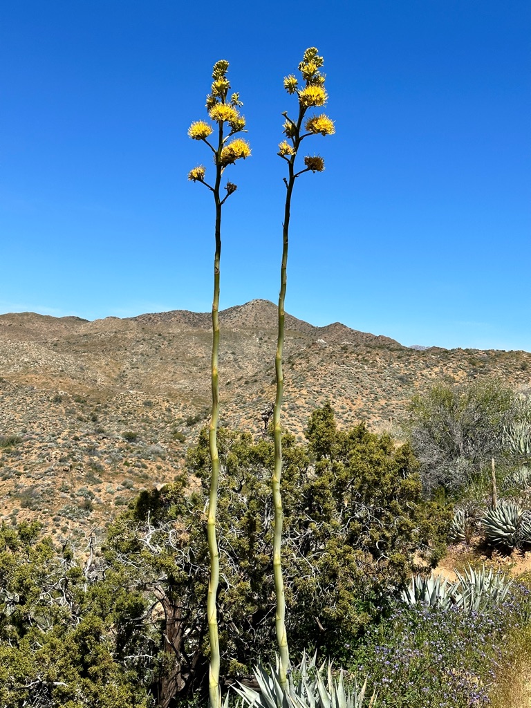
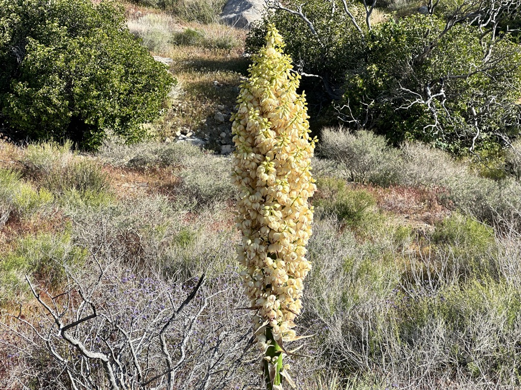
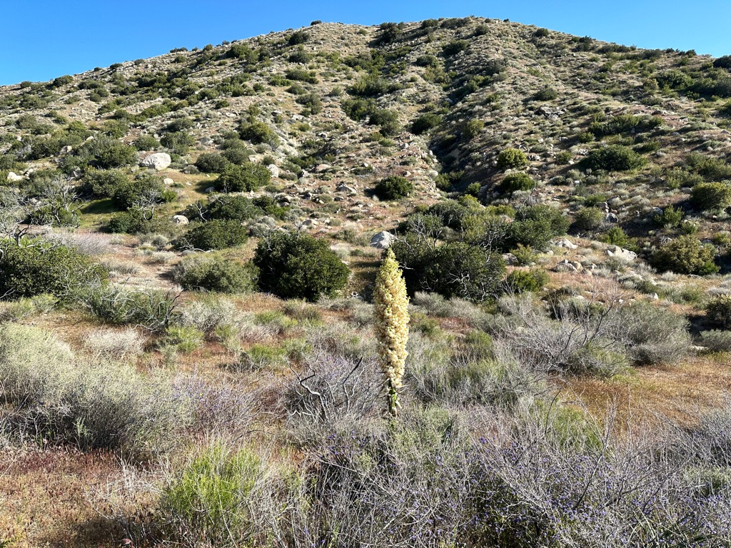
I think this a yucca flower.
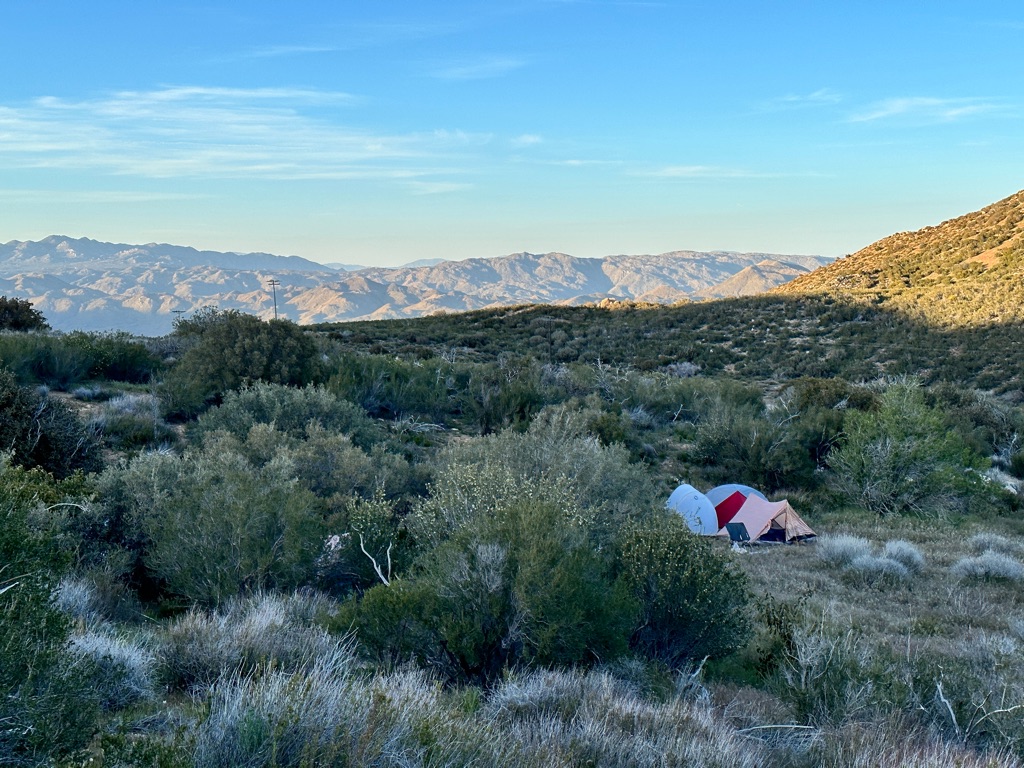
Tent site in the evening.
![]()
![]()
![]()
![]()
![]()
![]()
OR
Copy the link to @CarstenN Journo below
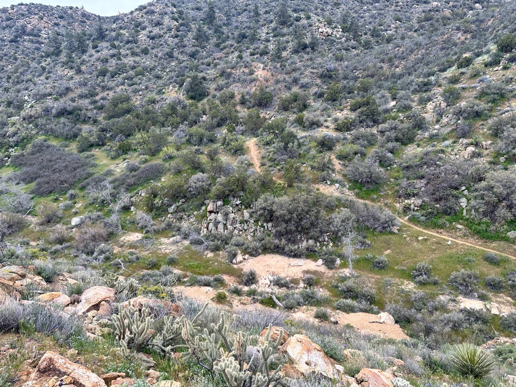
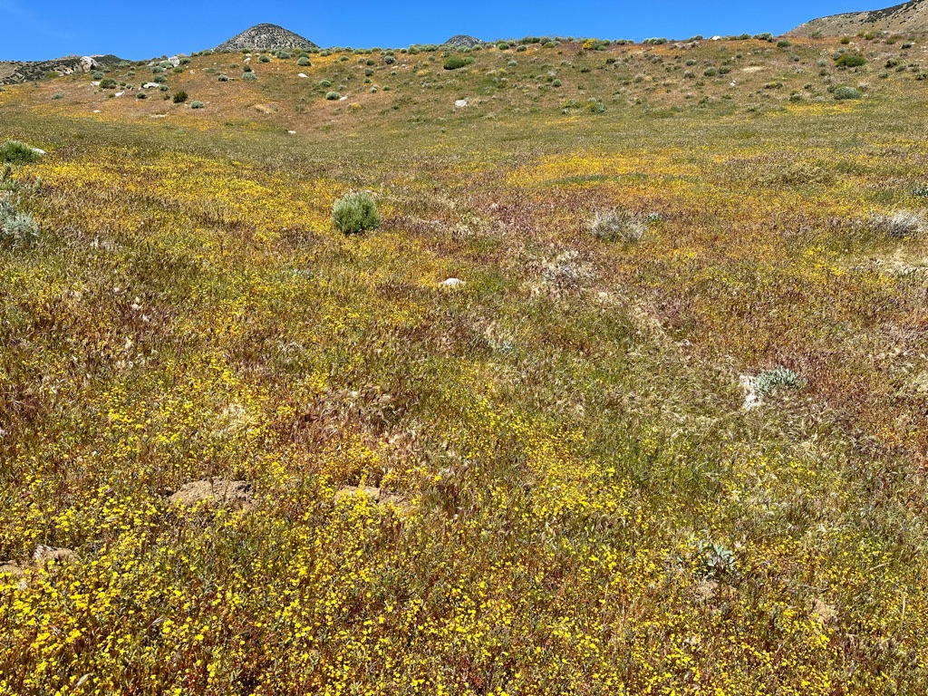
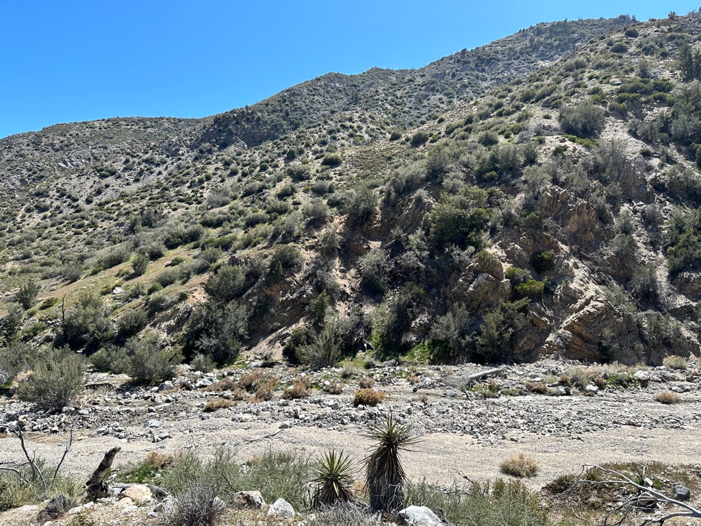
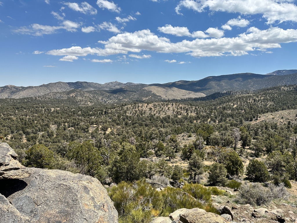
Today we continued hiking in the high desert. This is what can be seen along the way:
We camped only 2 miles from Scissors Crossing down in the valley, so we could get into Julian early.
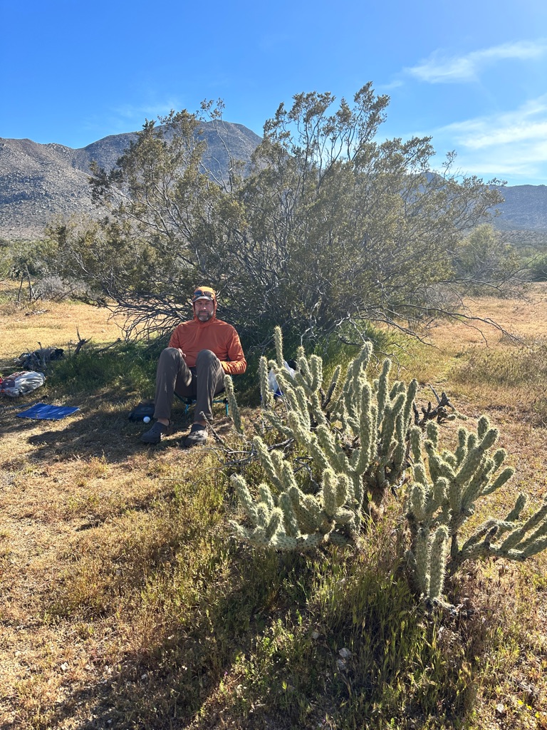
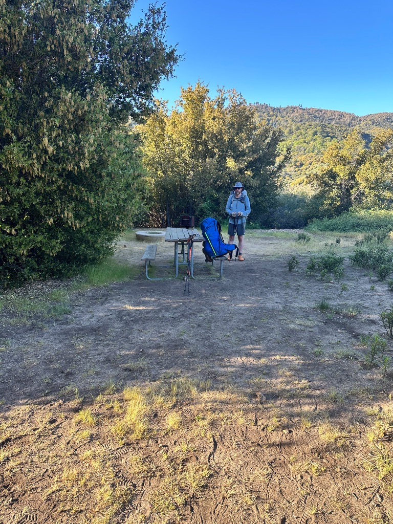
The last day with the chair. It will go back home tomorrow. Too much weight for too little extra comfort.
![]()
![]()
![]()
![]()
![]()
![]()
OR
Copy the link to @CarstenN Journo below
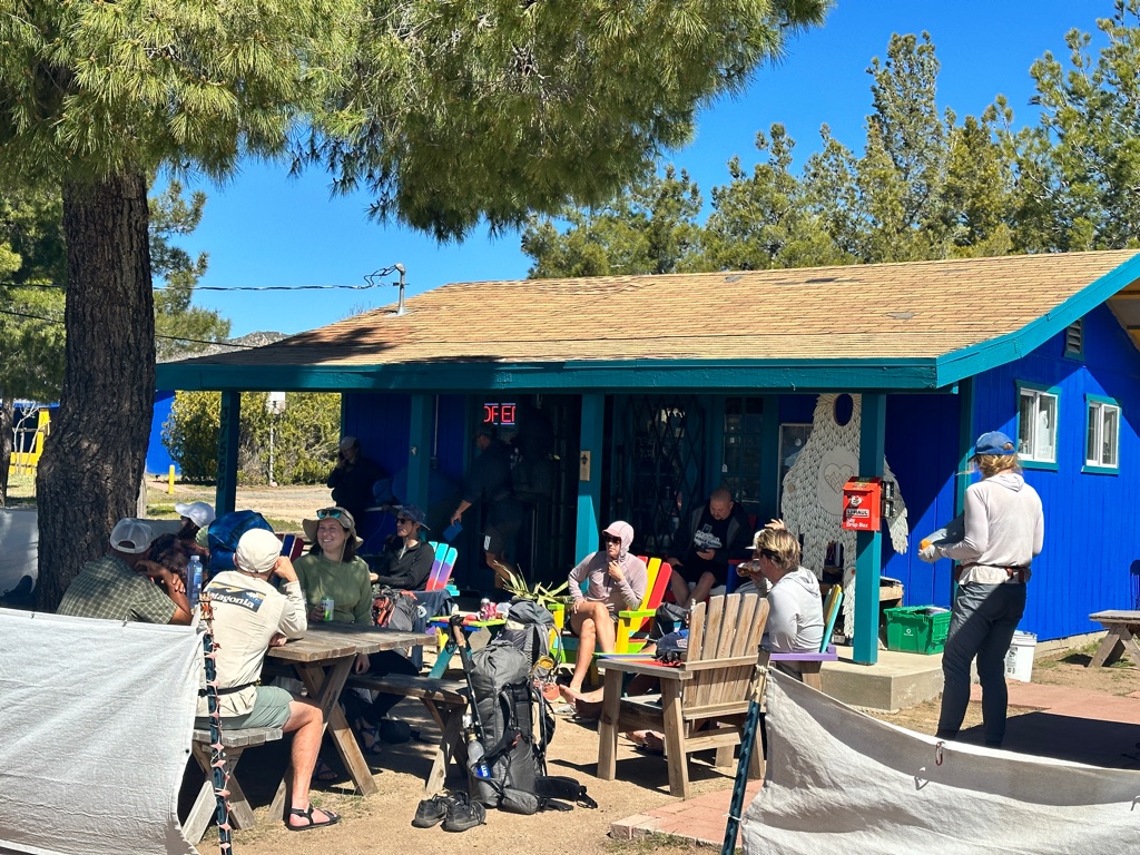
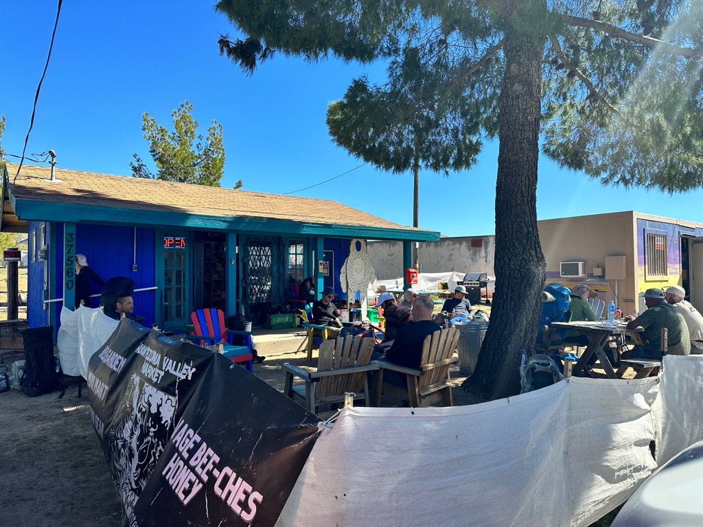
NotDave joined us for the last two miles to the road, where trail angel Ghost was already waiting for hikers on the side of the road. So we got a ride into Julian without even thicking a thumb out. Since we booked an AirBnB in town, this will be a Nero.
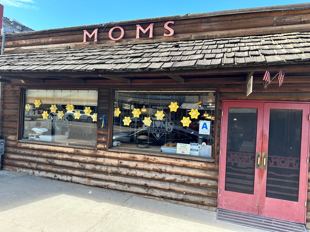
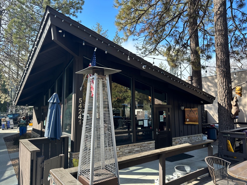
First stop: Mom’s Pie, where PCT hikers get a free slice.
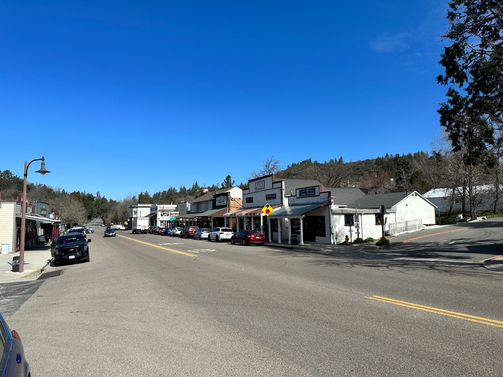
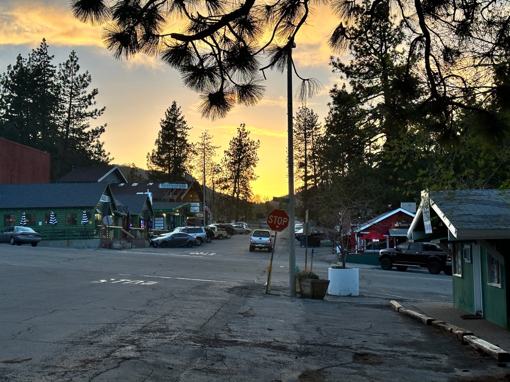
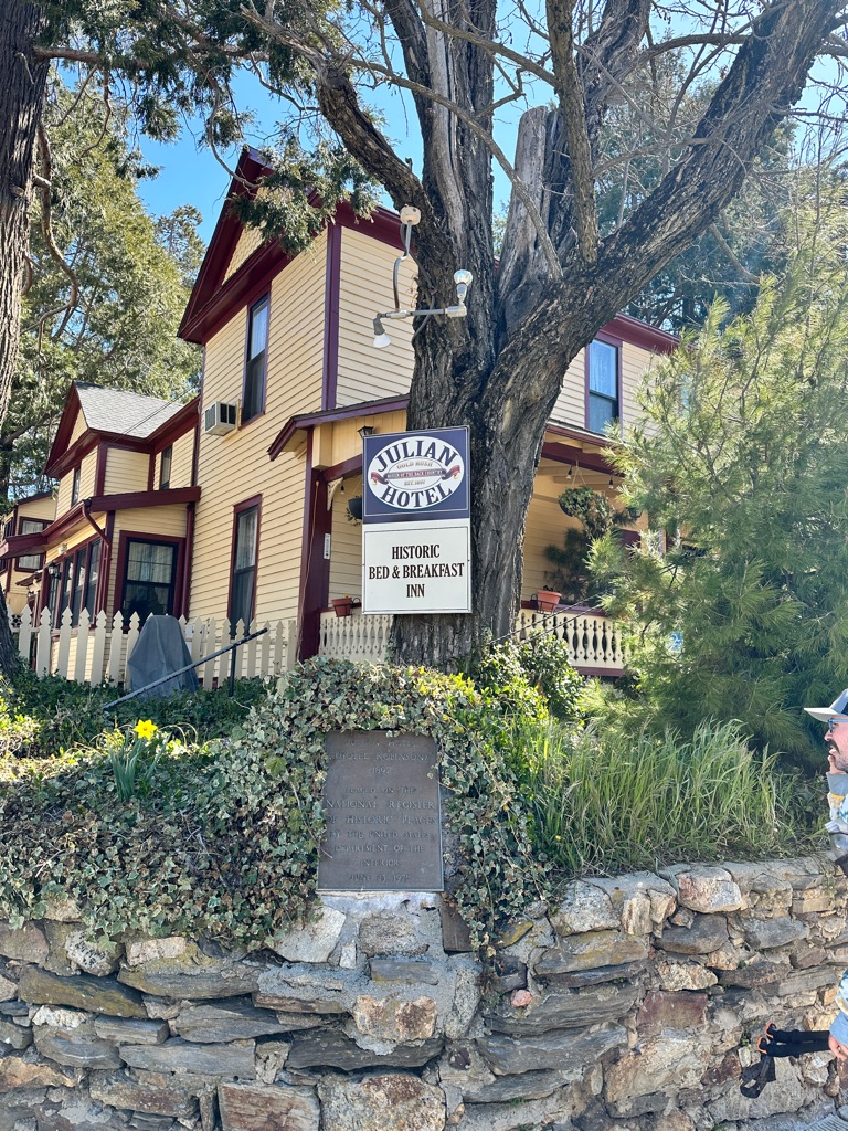
Julian is an old gold rush town and now a weekend destination for people from San Diego. Great atmosphere.
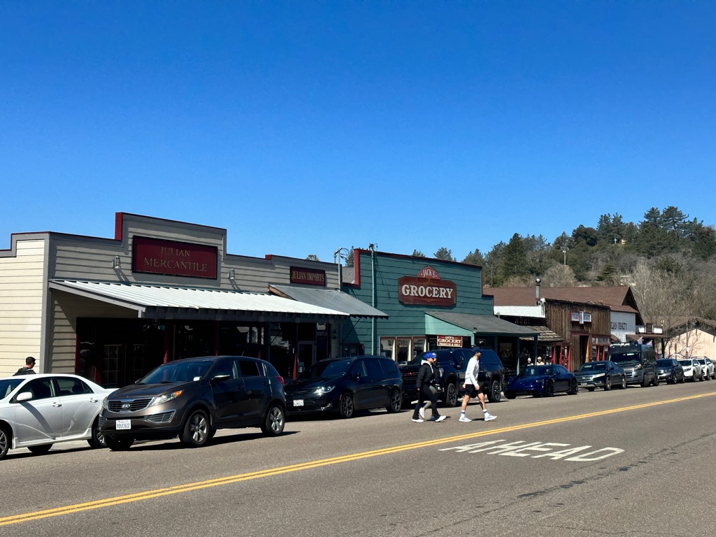
We bought food and gear and had pizza and beer for lunch at the brewery and went to the post office to sent and receive several packages.
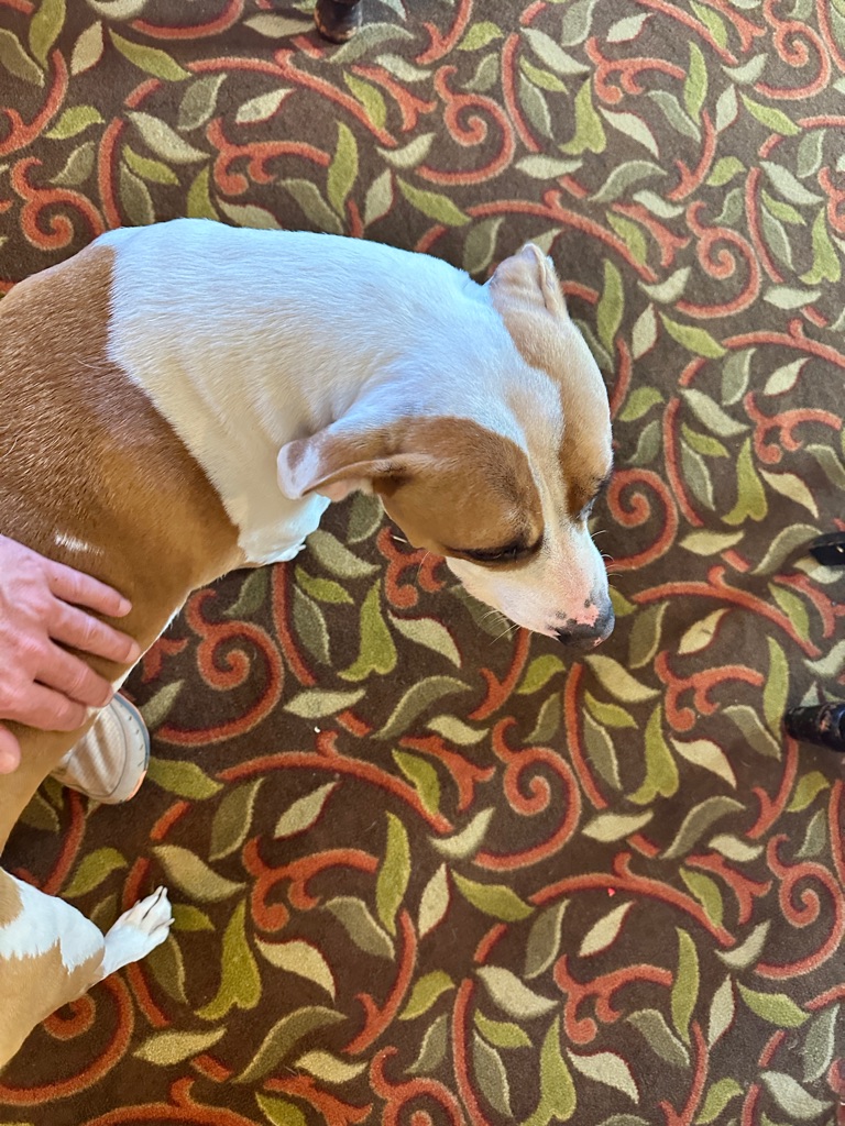
One of many friendly dogs we met so far.
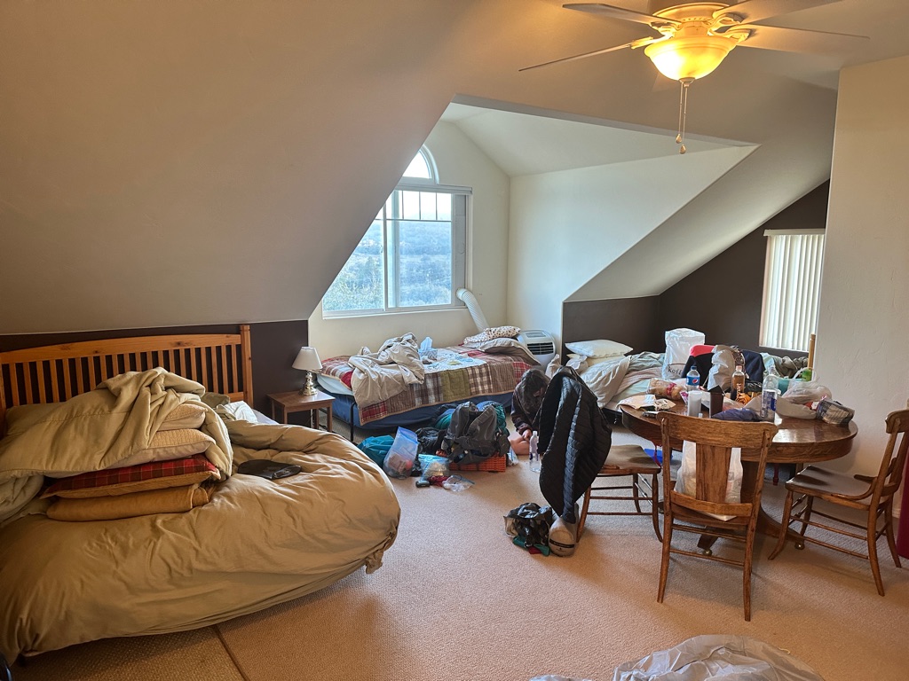
Our AirBnB.
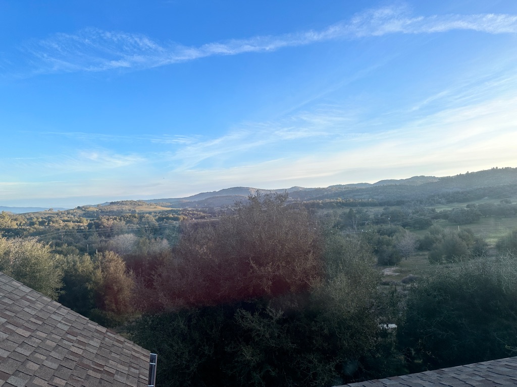
View out the AirBnB window.
![]()
![]()
![]()
![]()
![]()
![]()
OR
Copy the link to @CarstenN Journo below
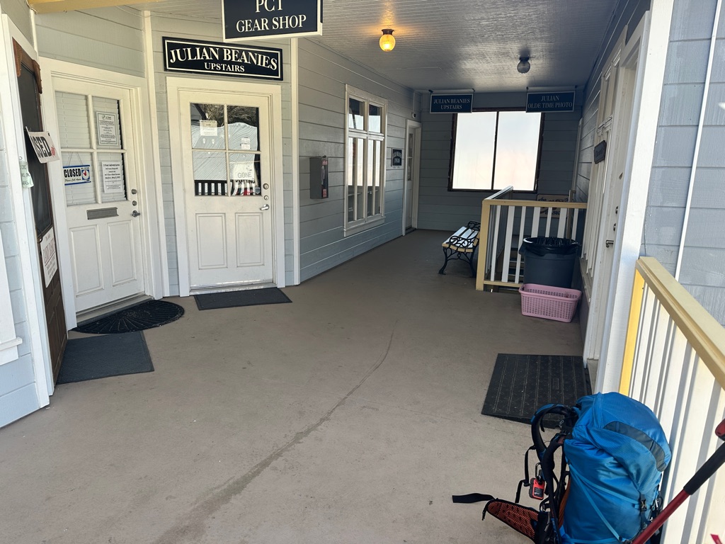
Back in town we got a ride to the trail from trail angel Rangel. Meeting point is the tiny hiker gear shop 2 Foot Adventures.
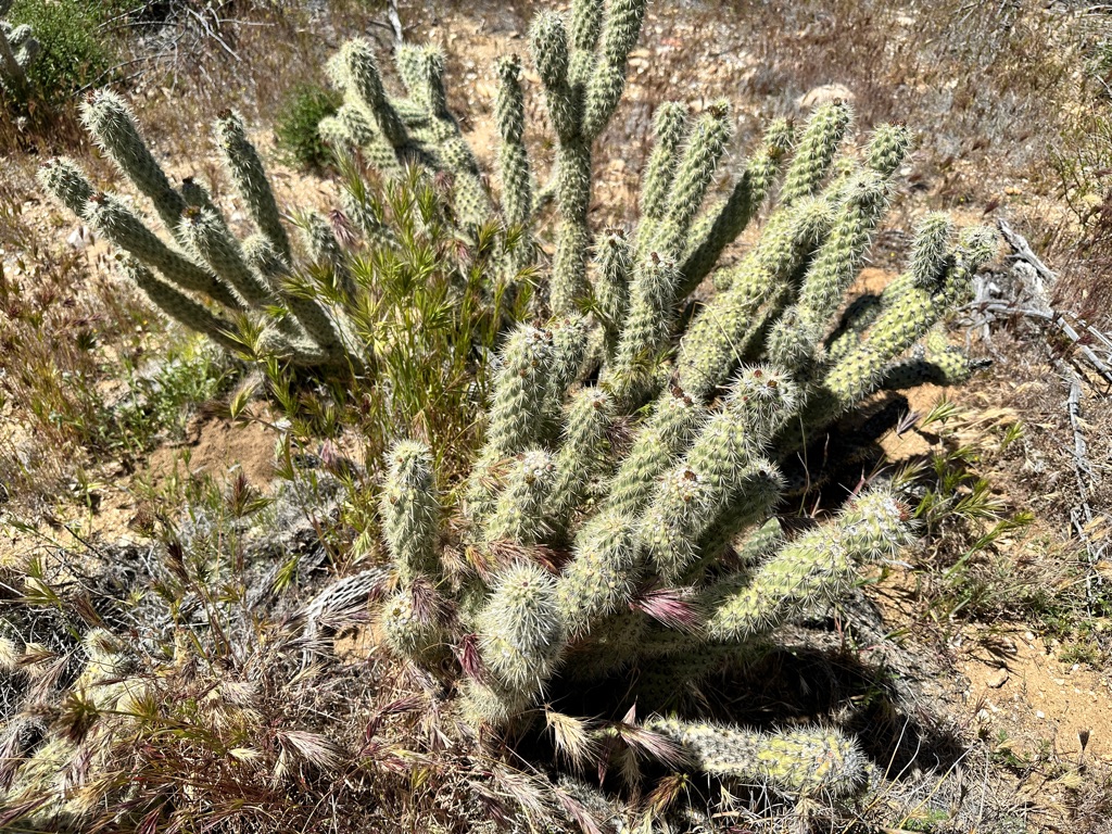
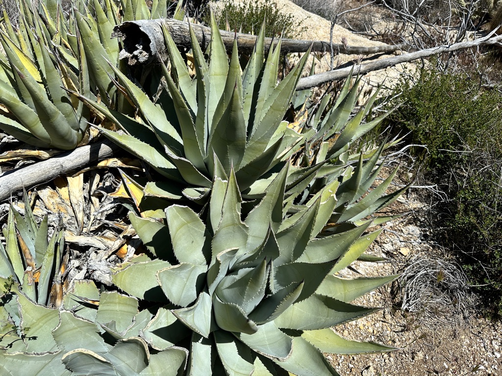
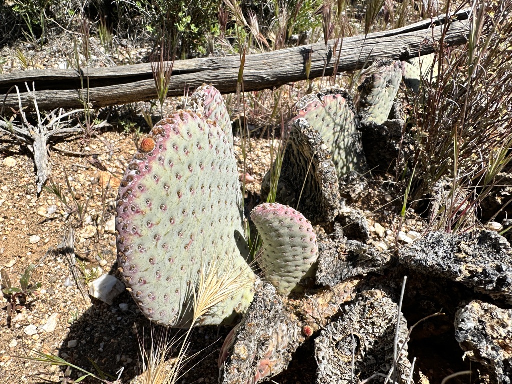
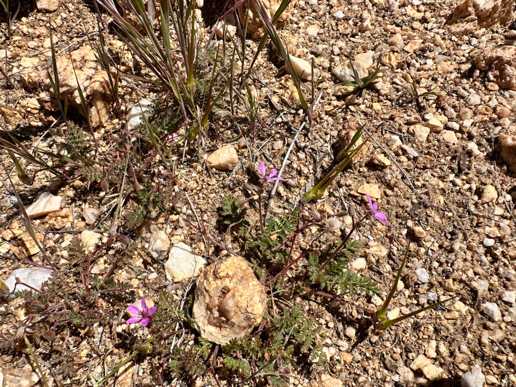
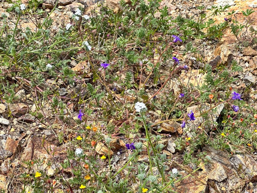
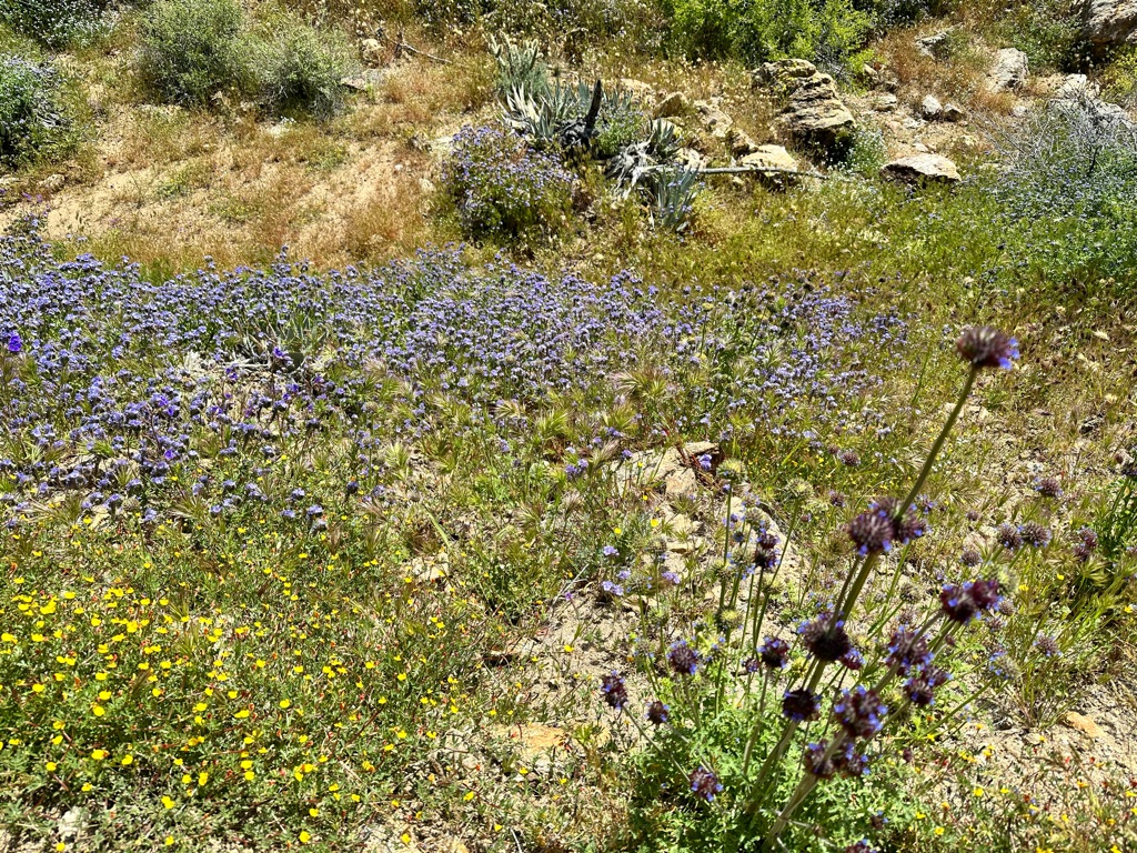
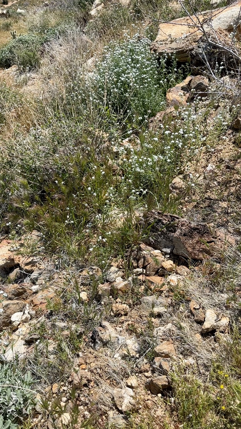
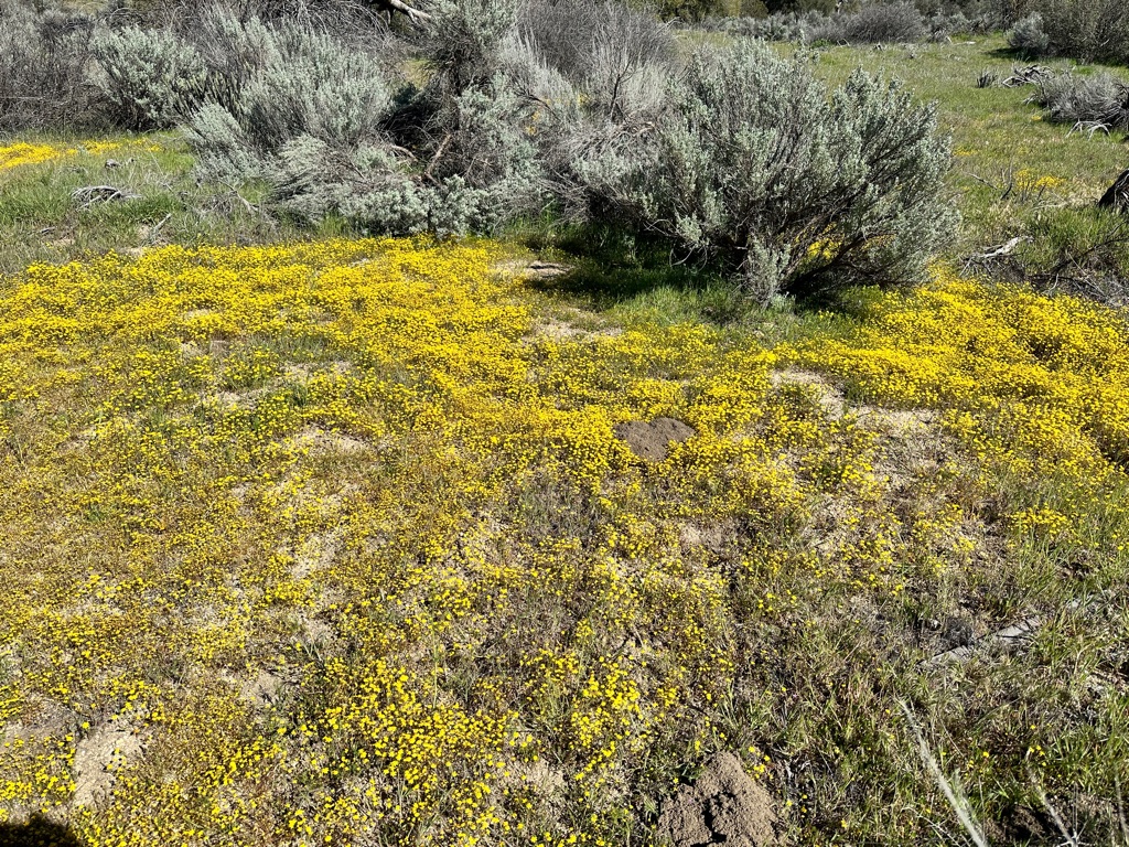
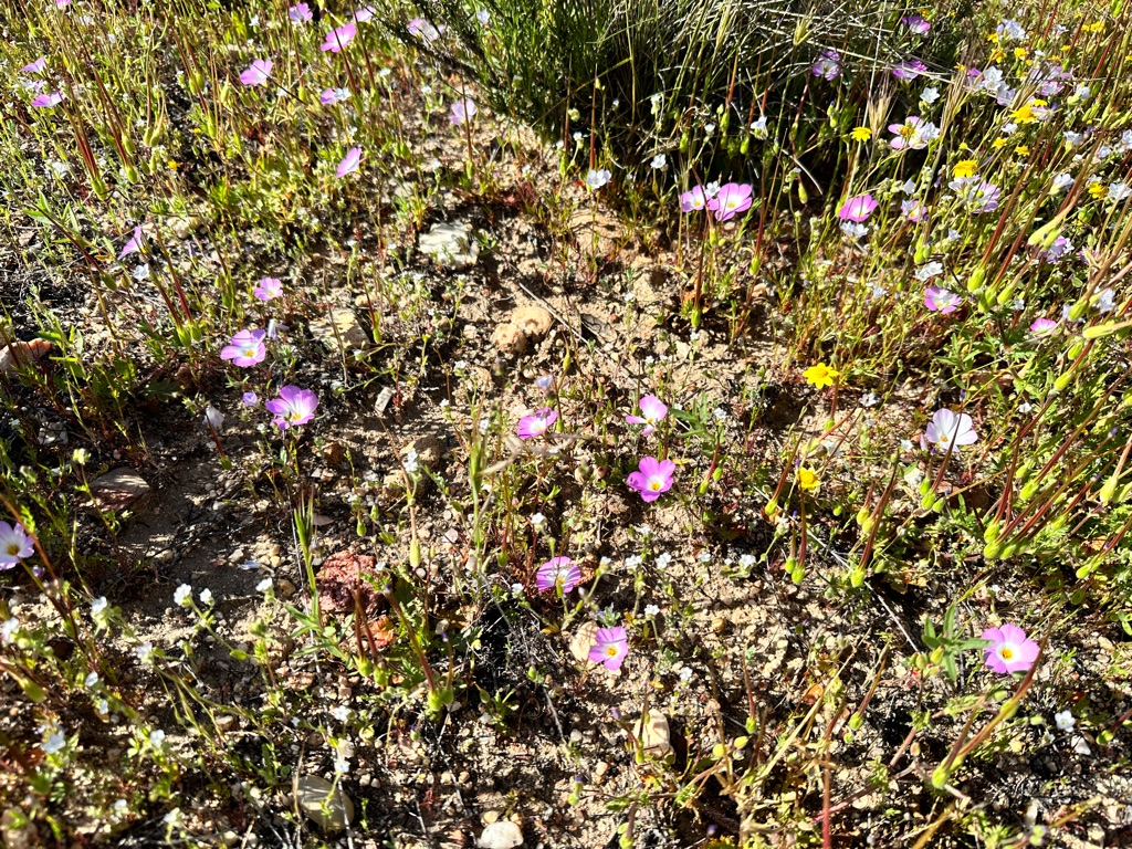
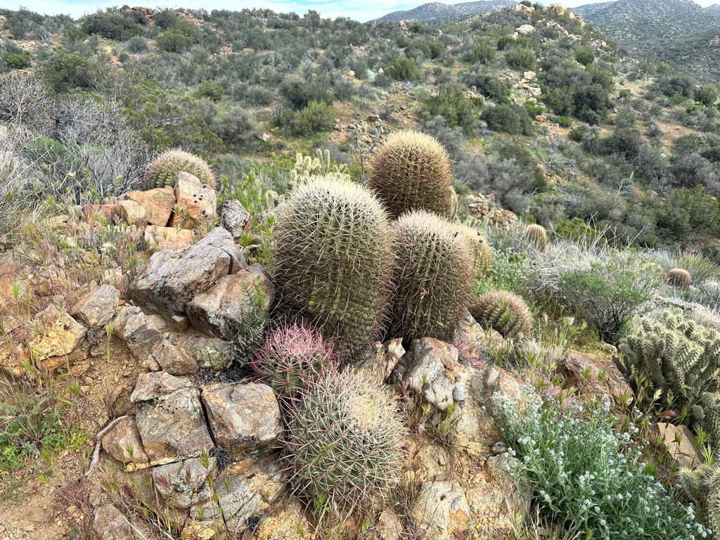
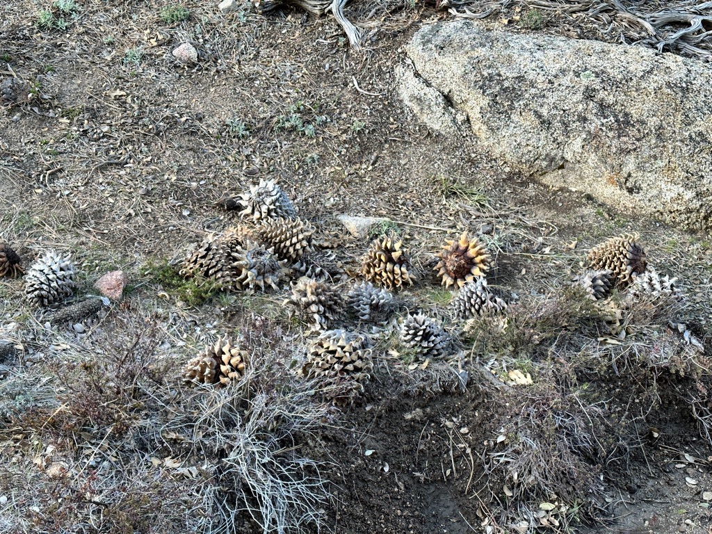
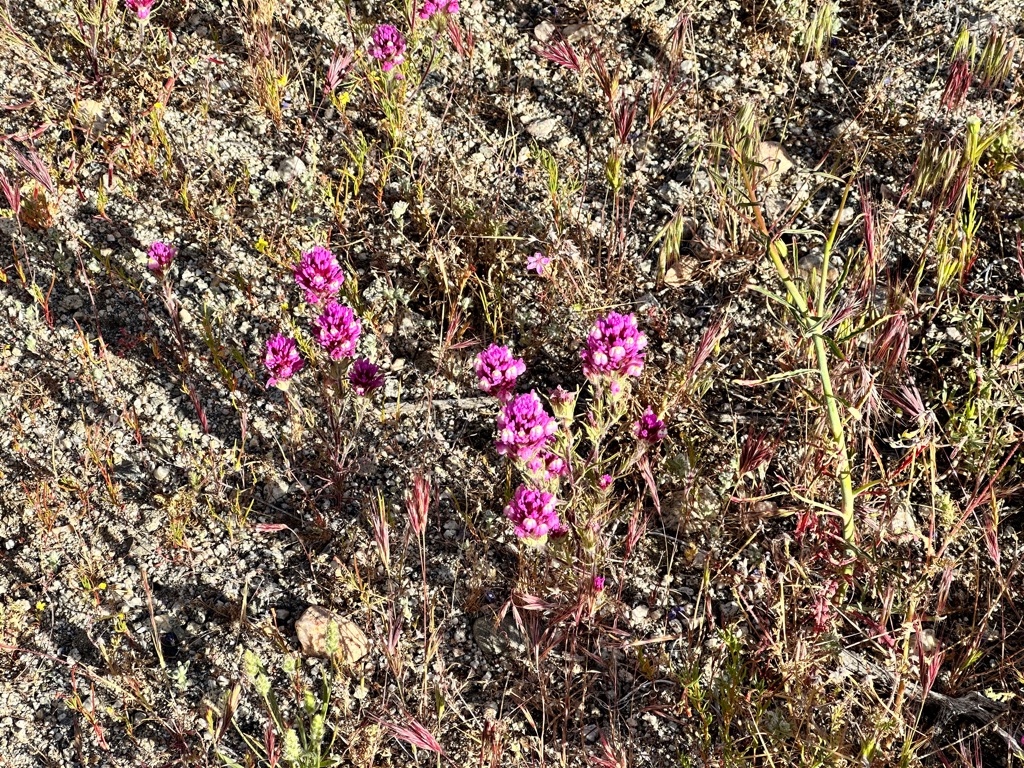
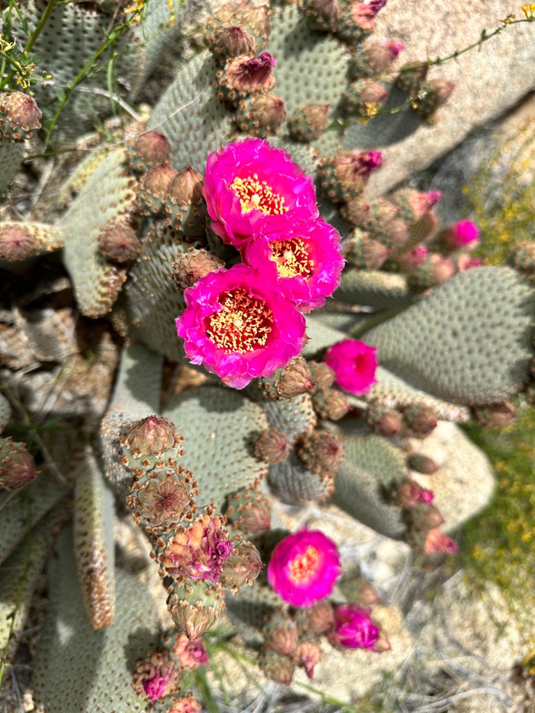
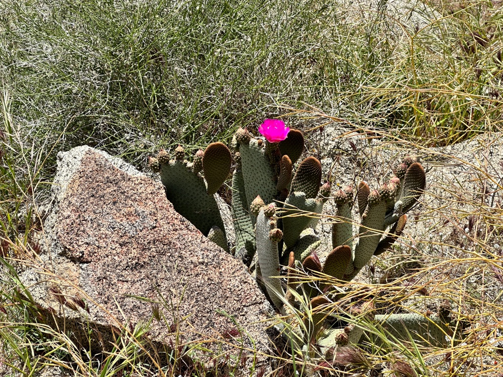
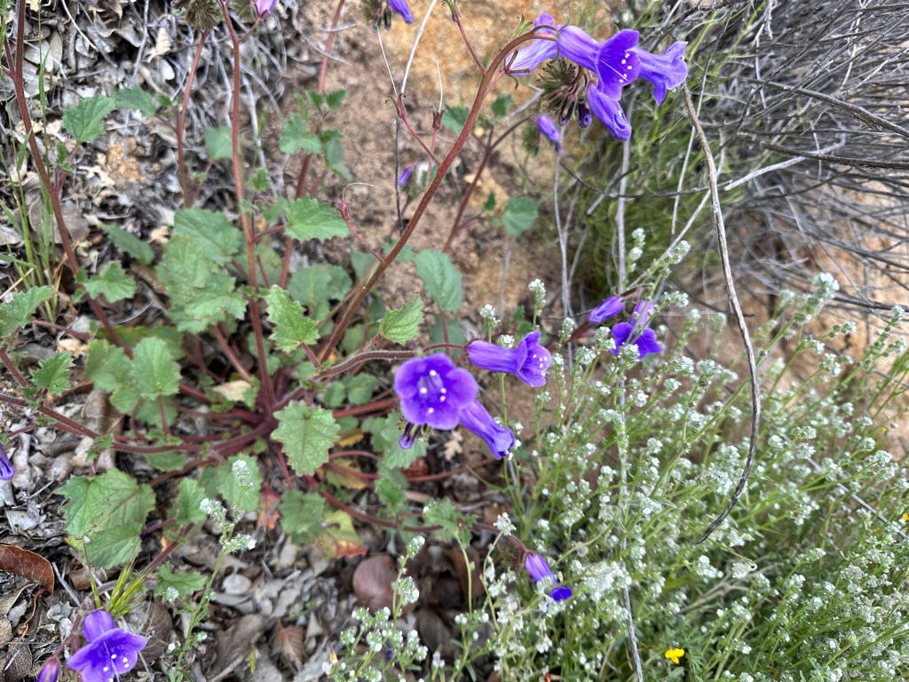
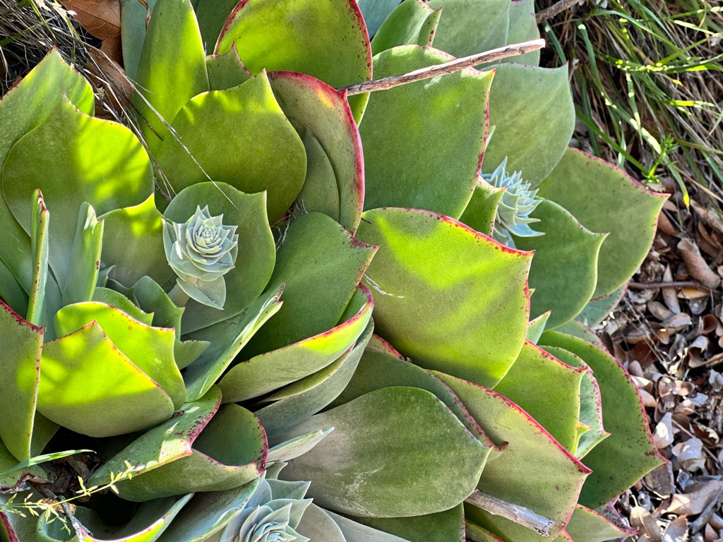
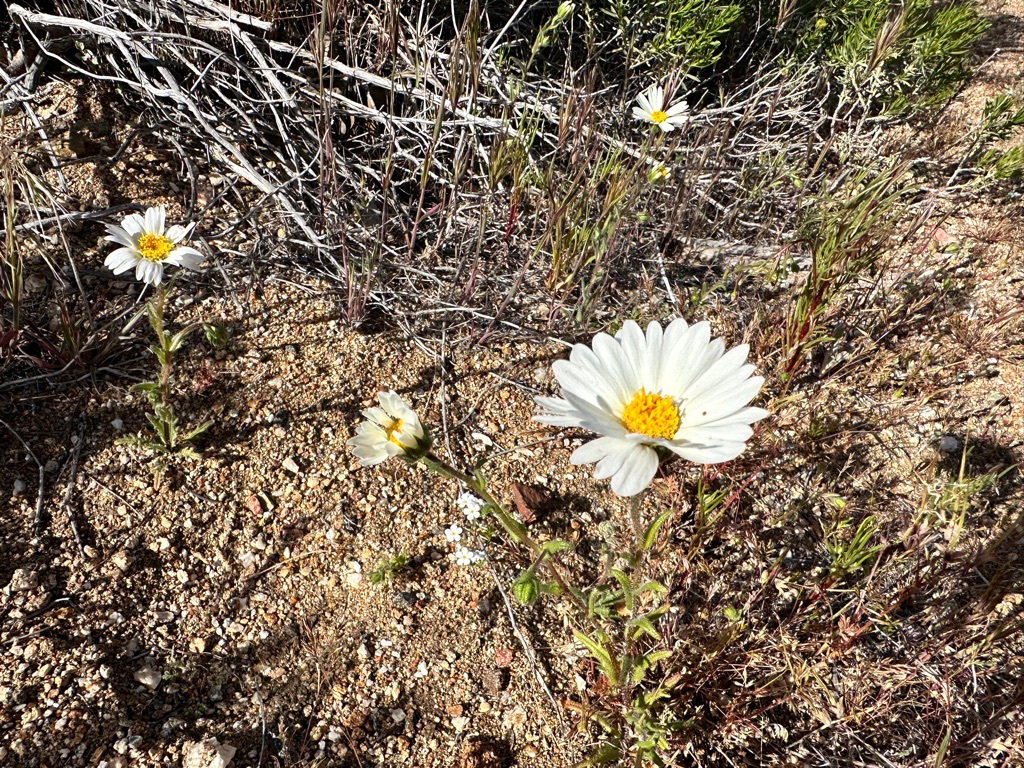
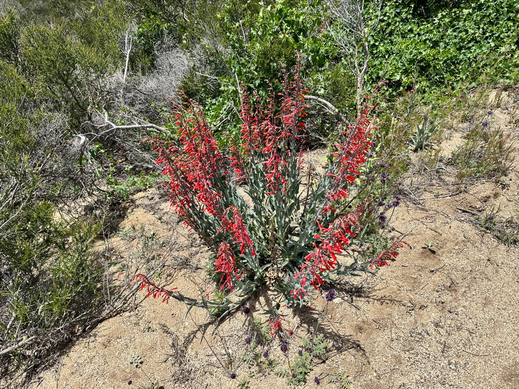
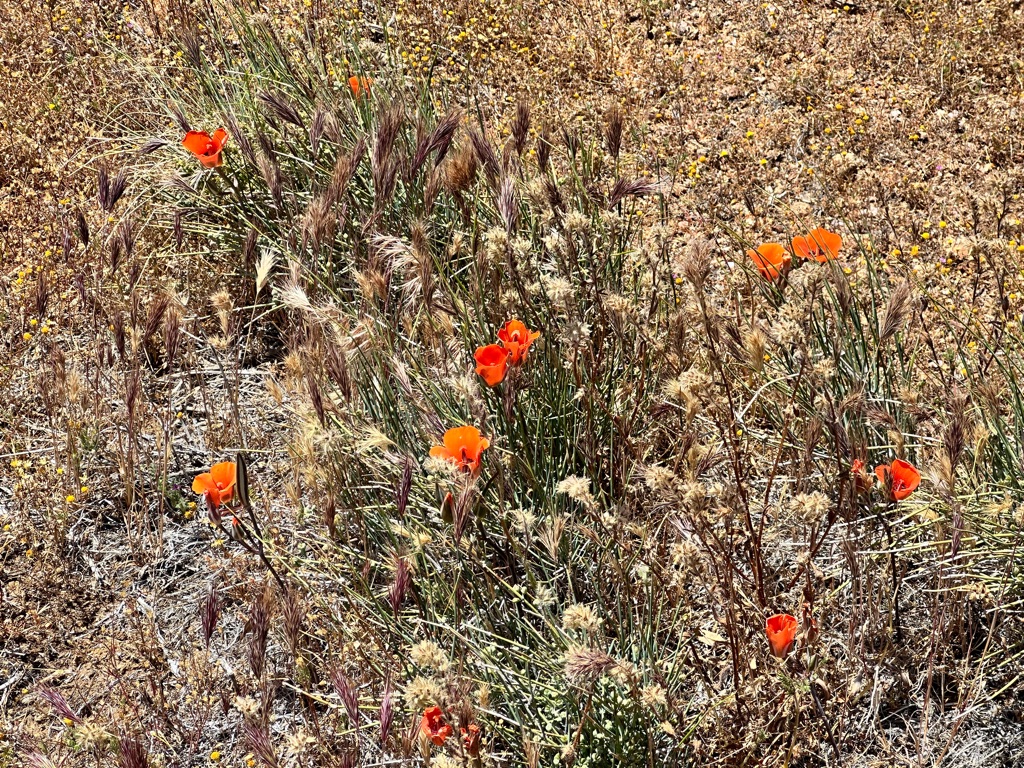
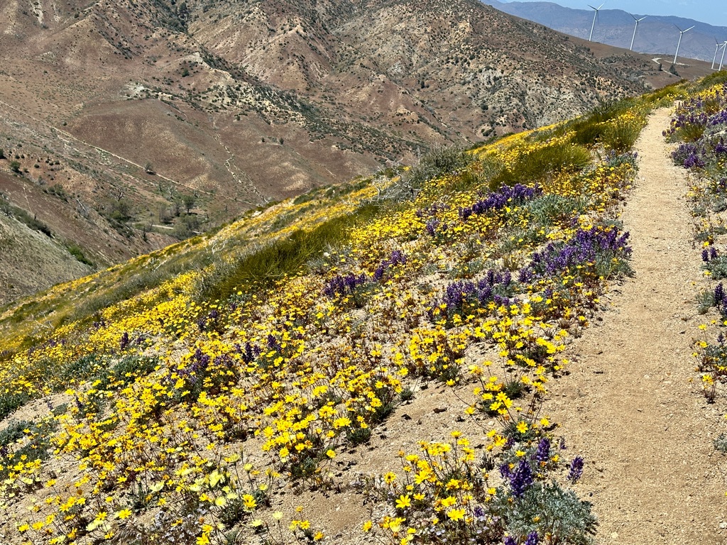
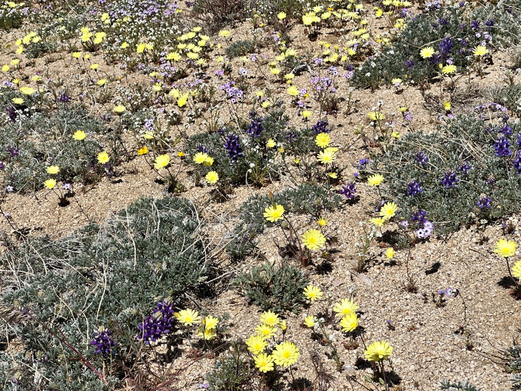
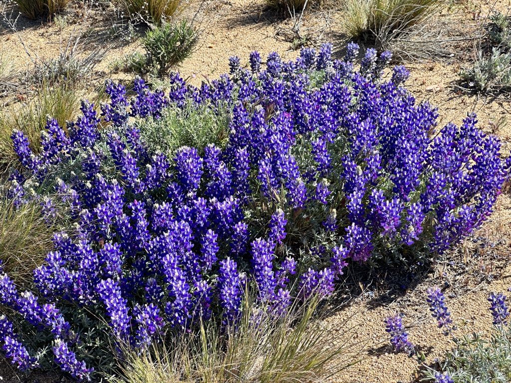
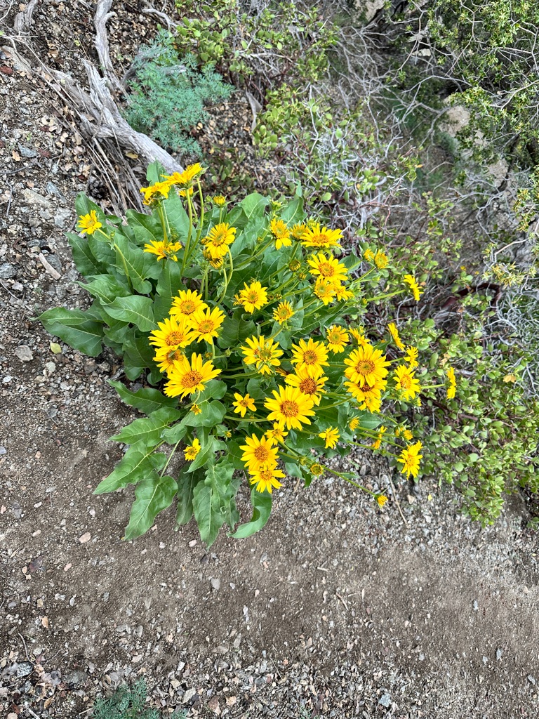
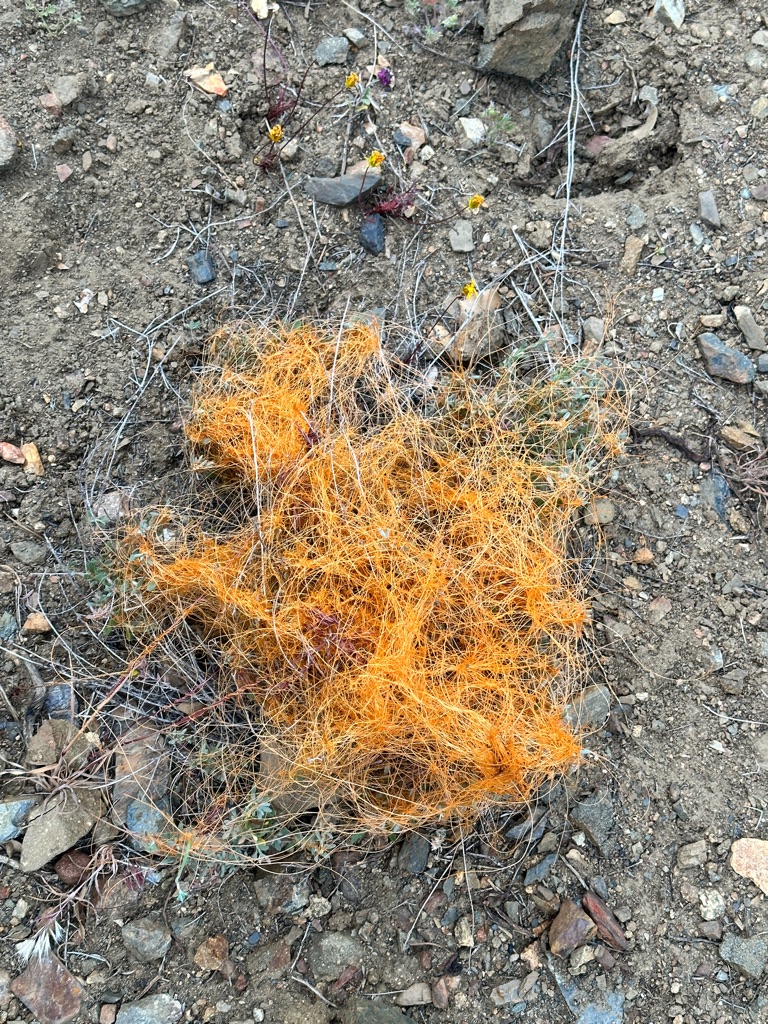
Probably due to the large amounts of rain and snow during the winter wild flowers of many different types are everywhere.

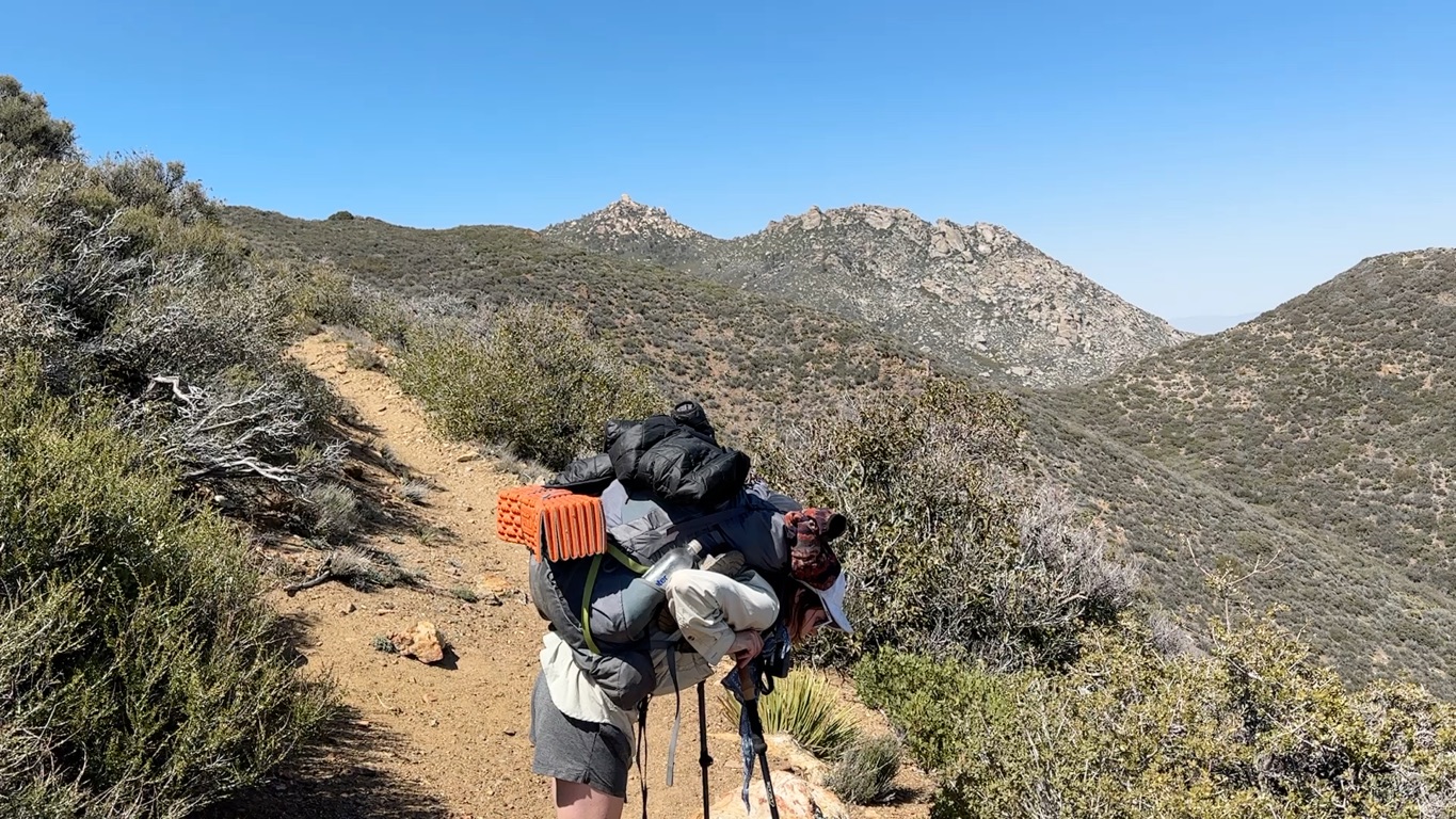
This was the first long water carry of the trip and we all started with 5L of water in the morning. The extra 11 pounds of weight were hard to ignore. We also came across the first rattle snake. It is really hard to see in the video below, but I kept my distance for understandable reasons.
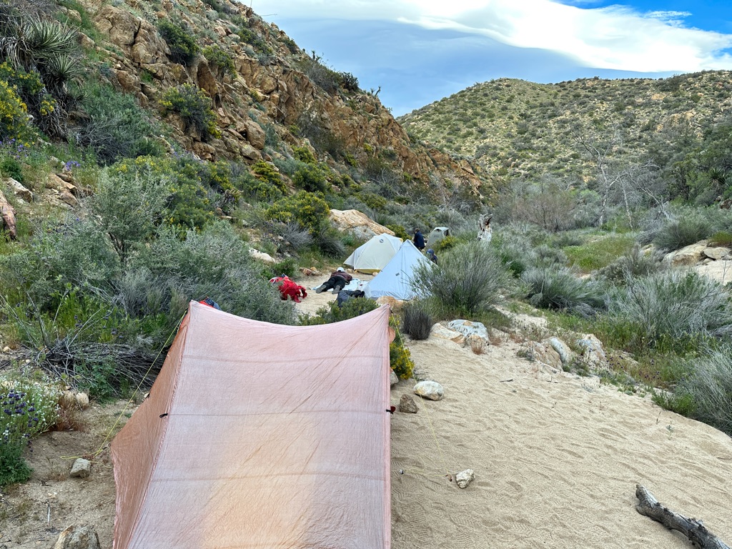
We set up camp after 9 miles in a little valley.
![]()
![]()
![]()
![]()
![]()
![]()
OR
Copy the link to @CarstenN Journo below
First goal of the day was the water cache 4 miles ahead.
We also passed mile 90 and mile 100 and saw the first horned devil.
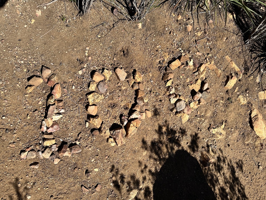
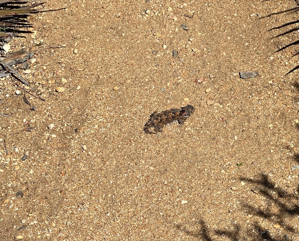
In the evening we camped at Barrel Springs and Bad Santa provided Trail Magic.
![]()
![]()
![]()
![]()
![]()
![]()
OR
Copy the link to @CarstenN Journo below
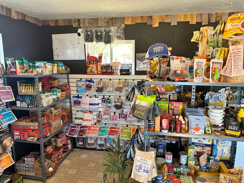
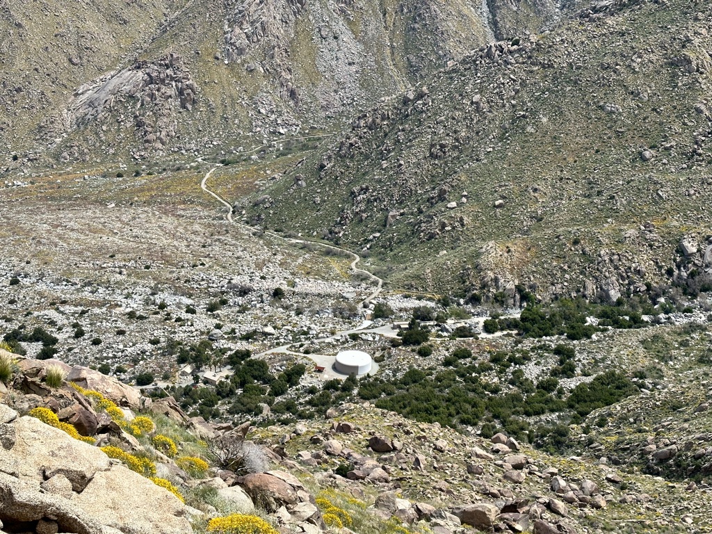
After a quick resupply at Montezuma Market, a rather quirky, but well stocked, place we headed towards Warner Springs.
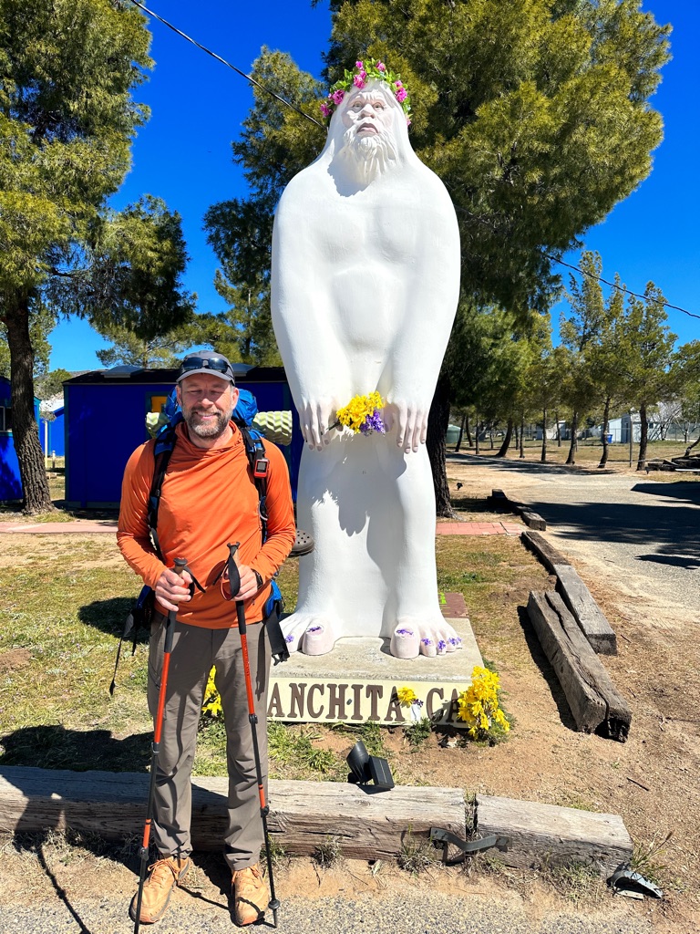
The day had the largest variety of scenery so far: high desert, tree lined river valleys, open prairie including free roaming cattle and \240
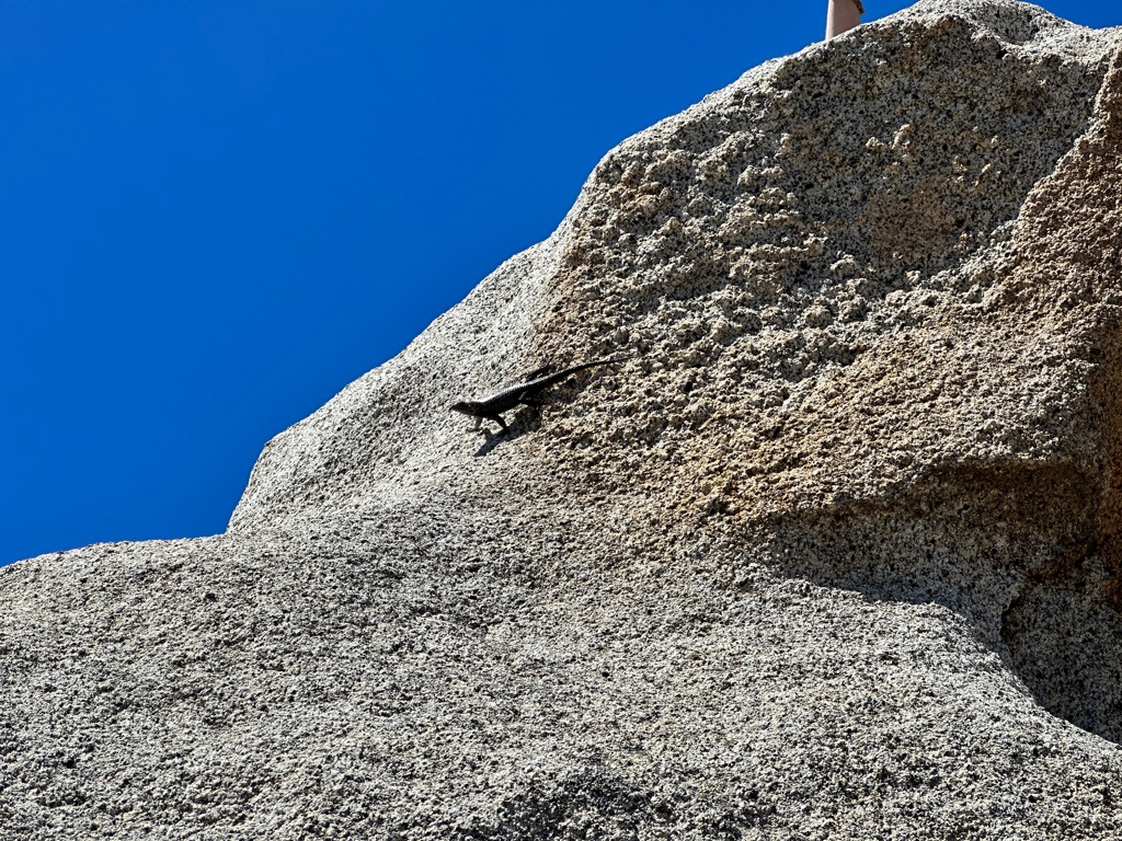
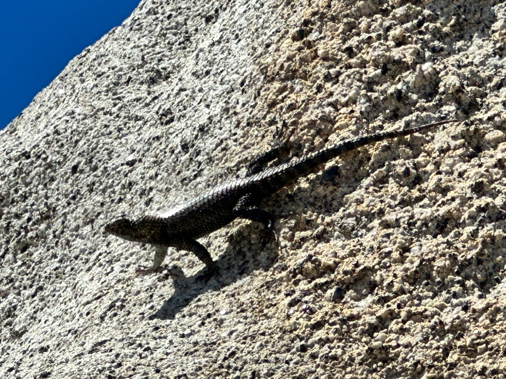
At Eagle Rock we also saw one of the largest lizards so far.
![]()
![]()
![]()
![]()
![]()
![]()
OR
Copy the link to @CarstenN Journo below
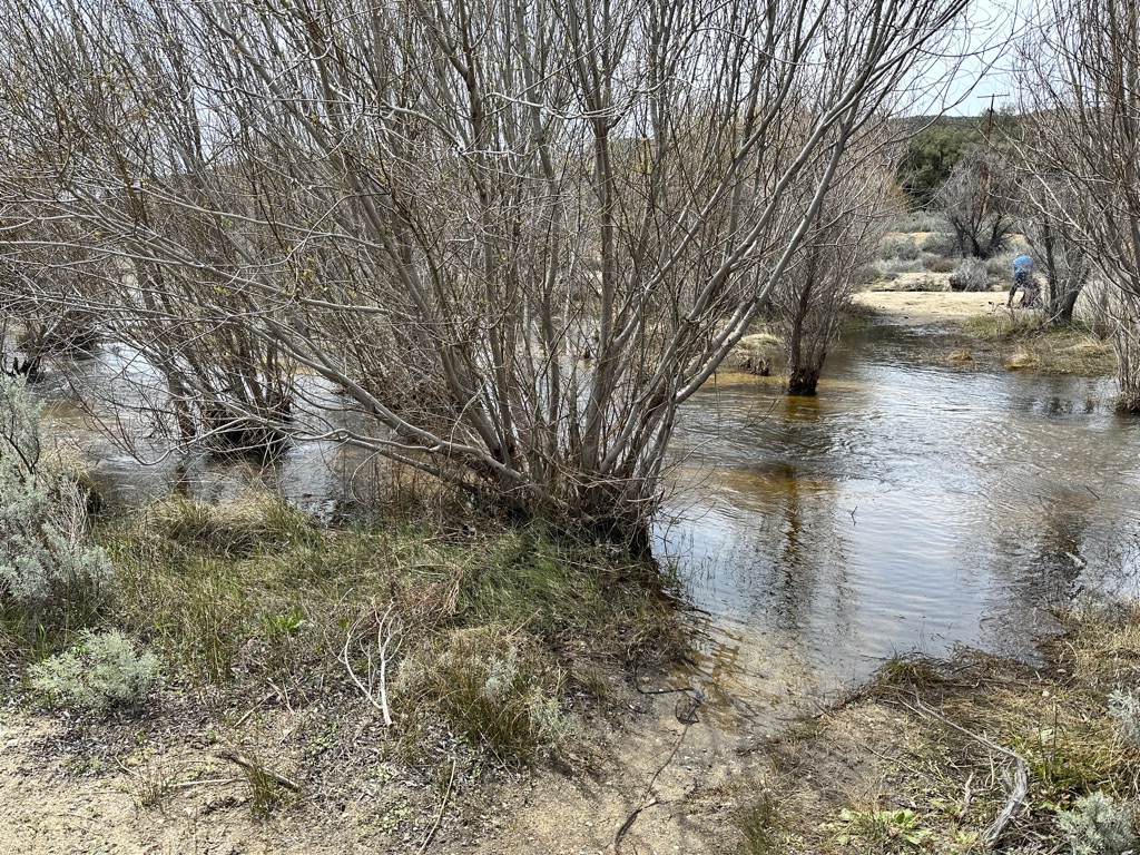
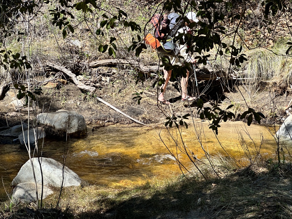
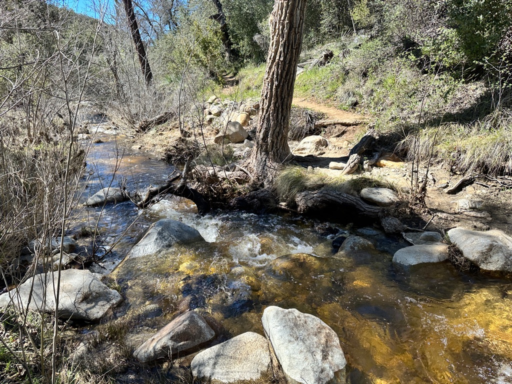
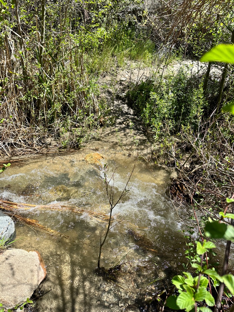
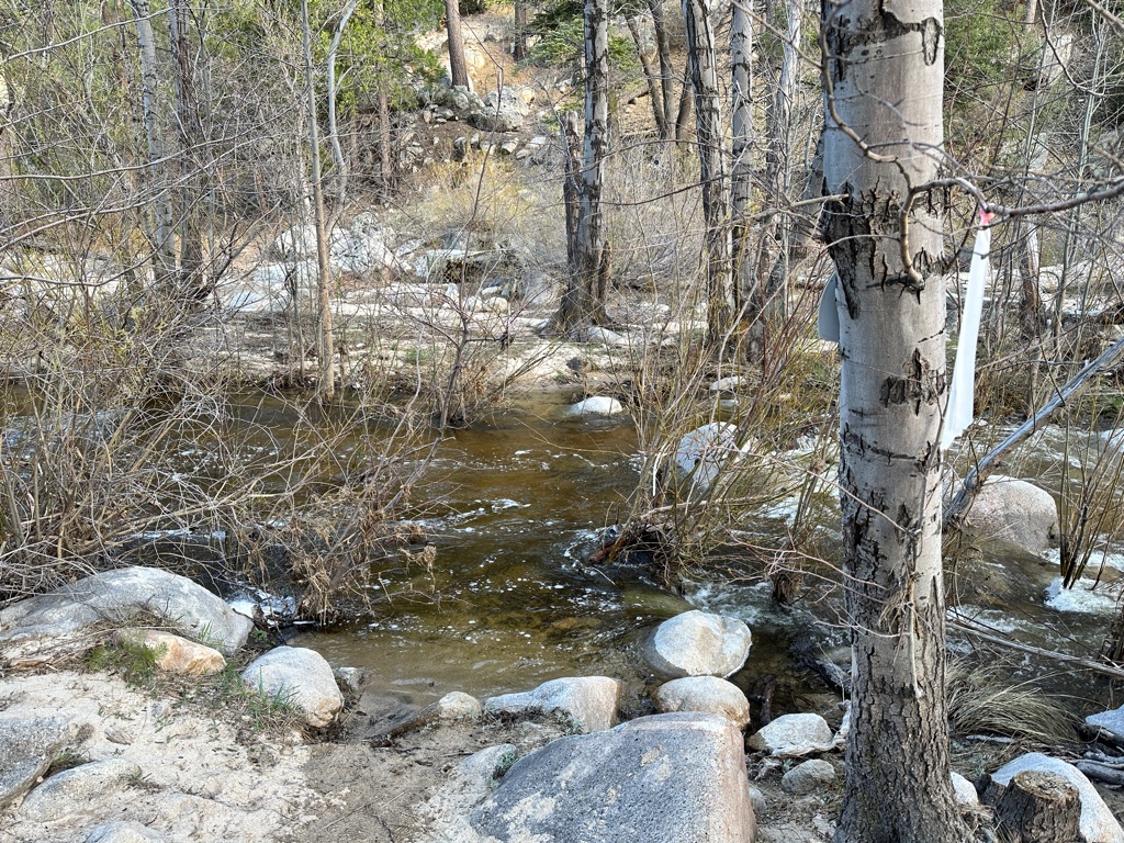
Thd day started with crossing the creek we were hiking up far too many times. My efforts to keep my shoes dry did not work out.
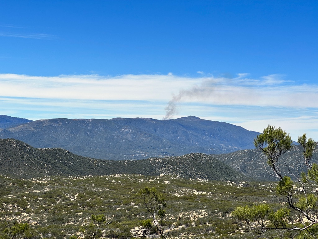
Bush fire in the distance, probably a controlled burn.
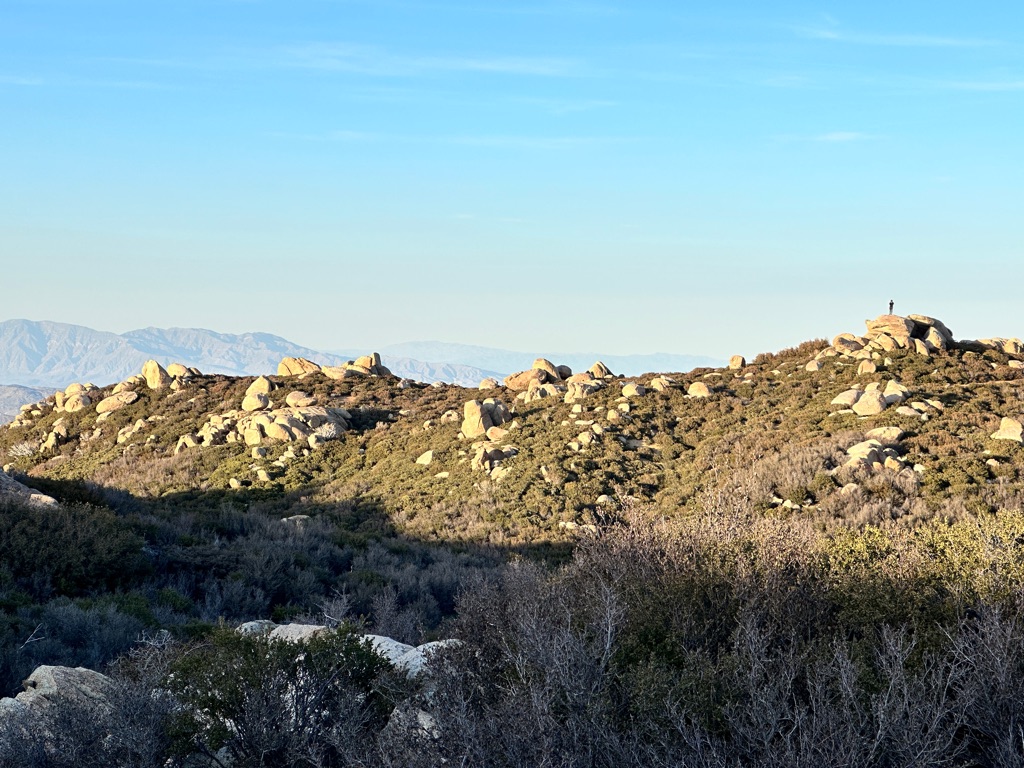
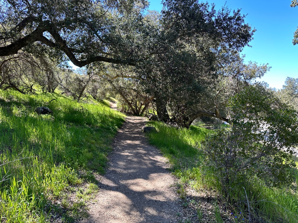
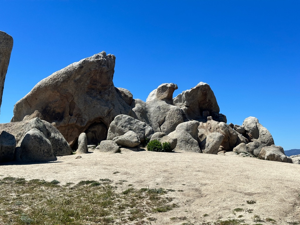
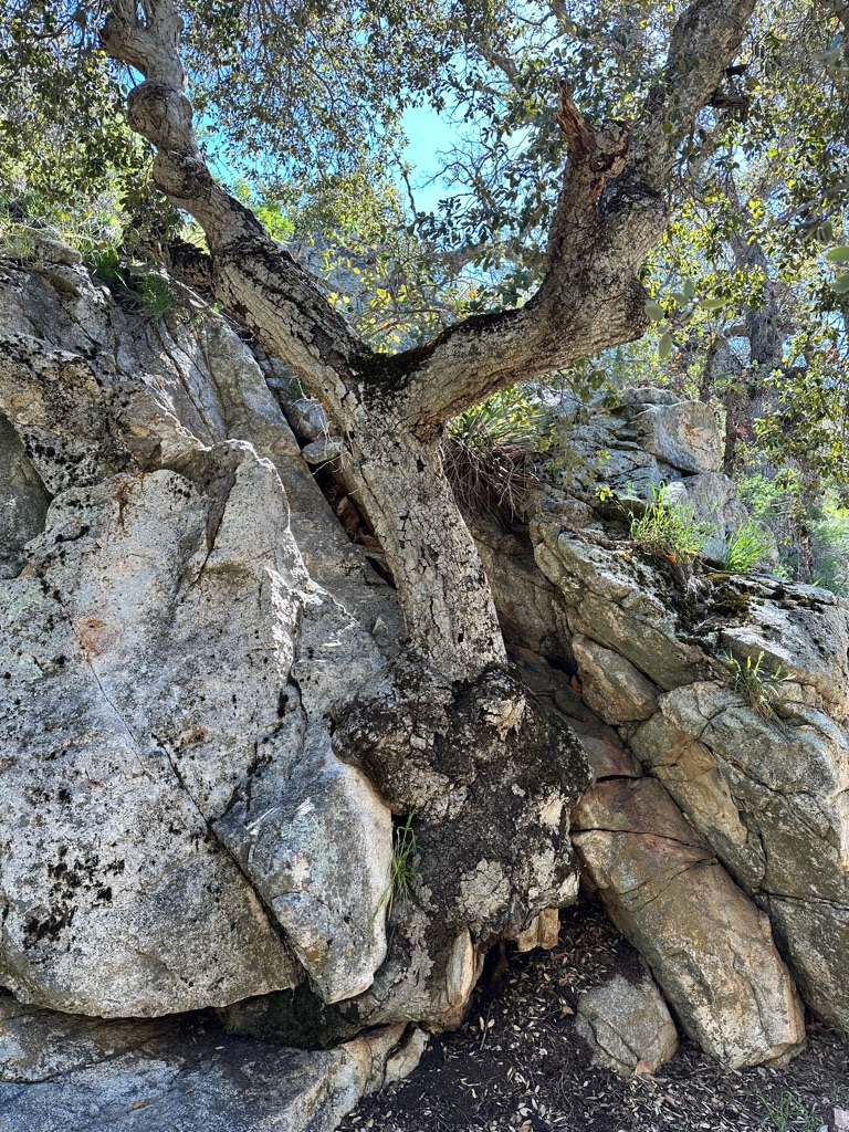
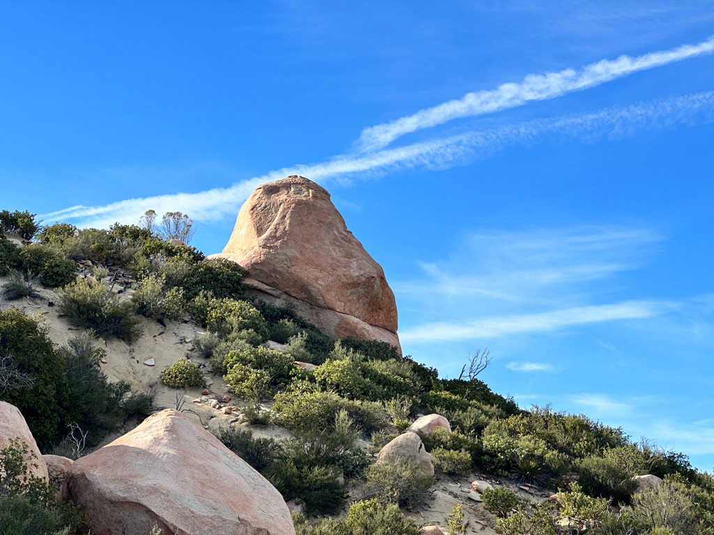
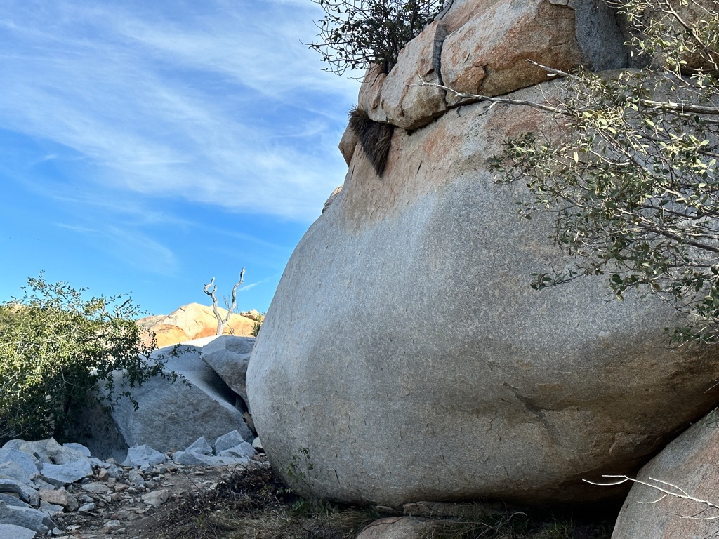
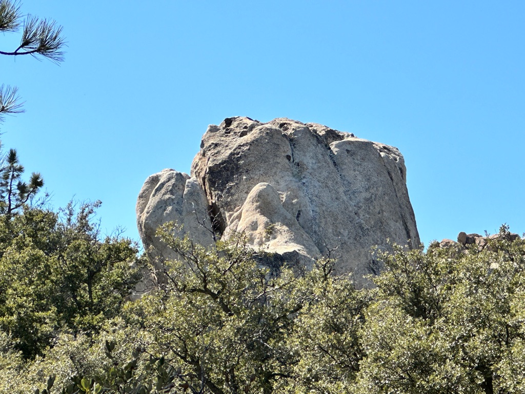
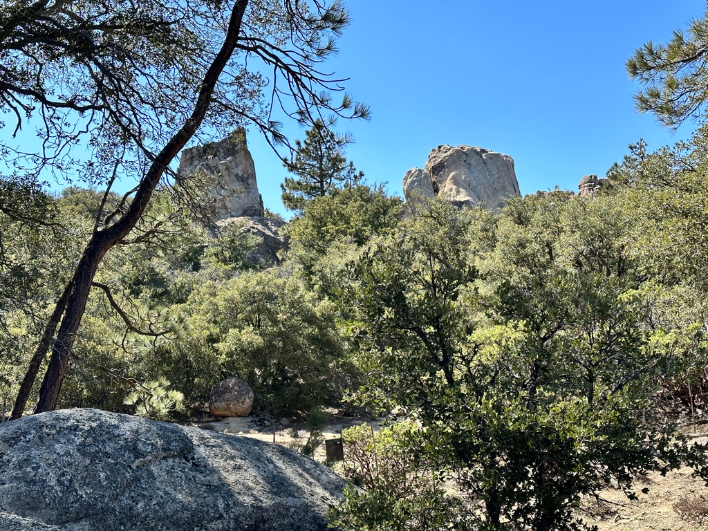
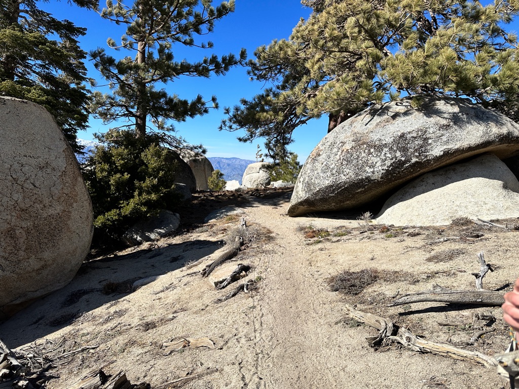
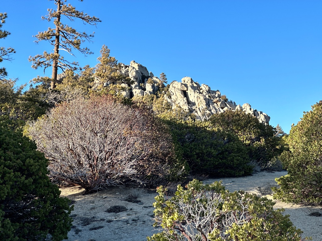
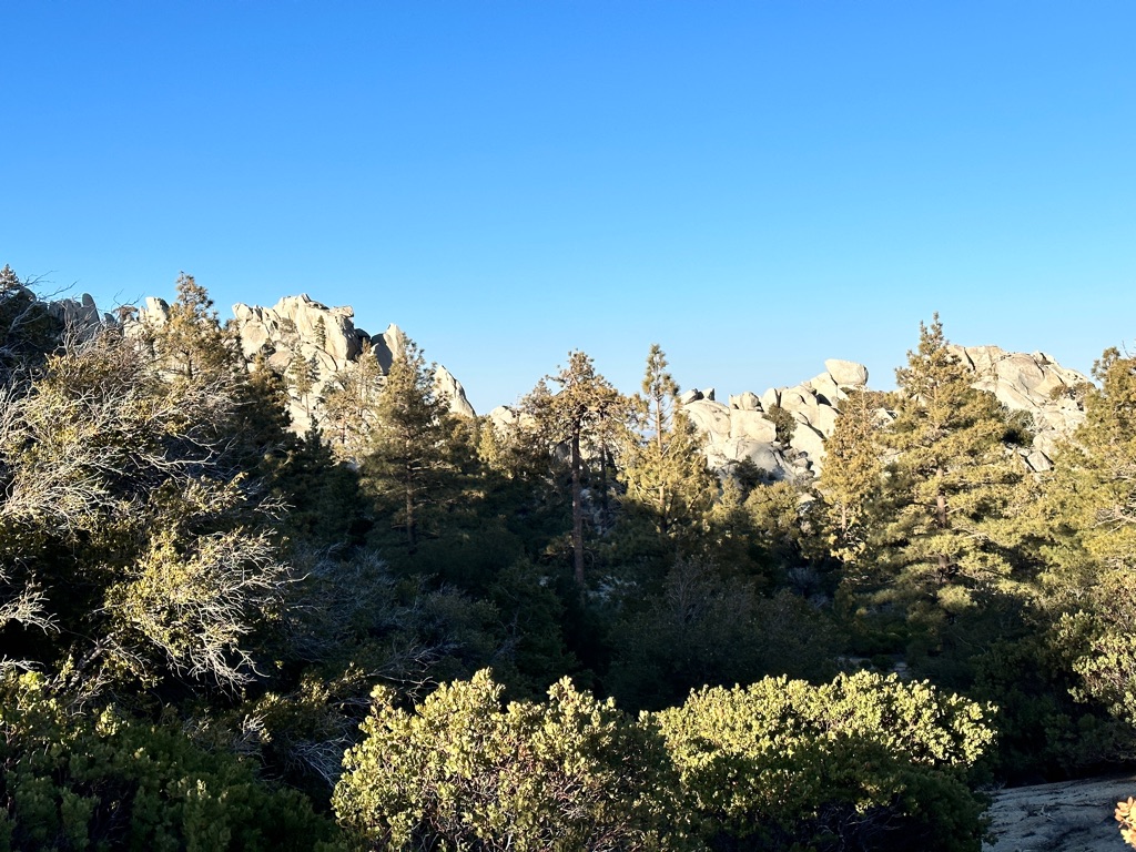
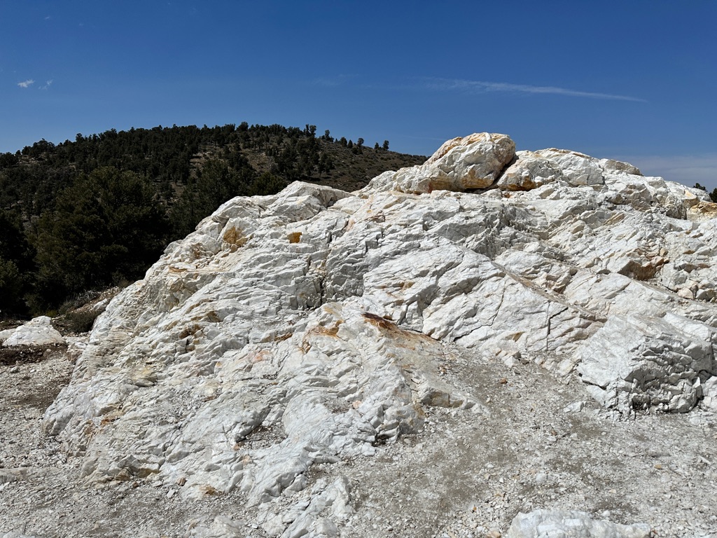
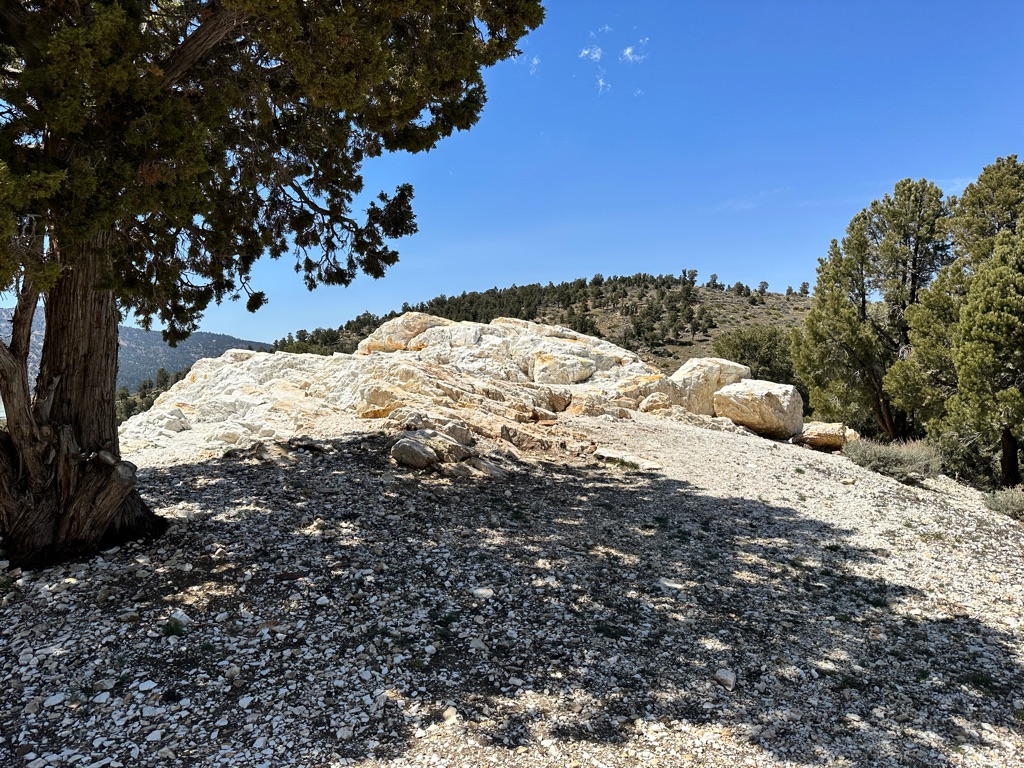
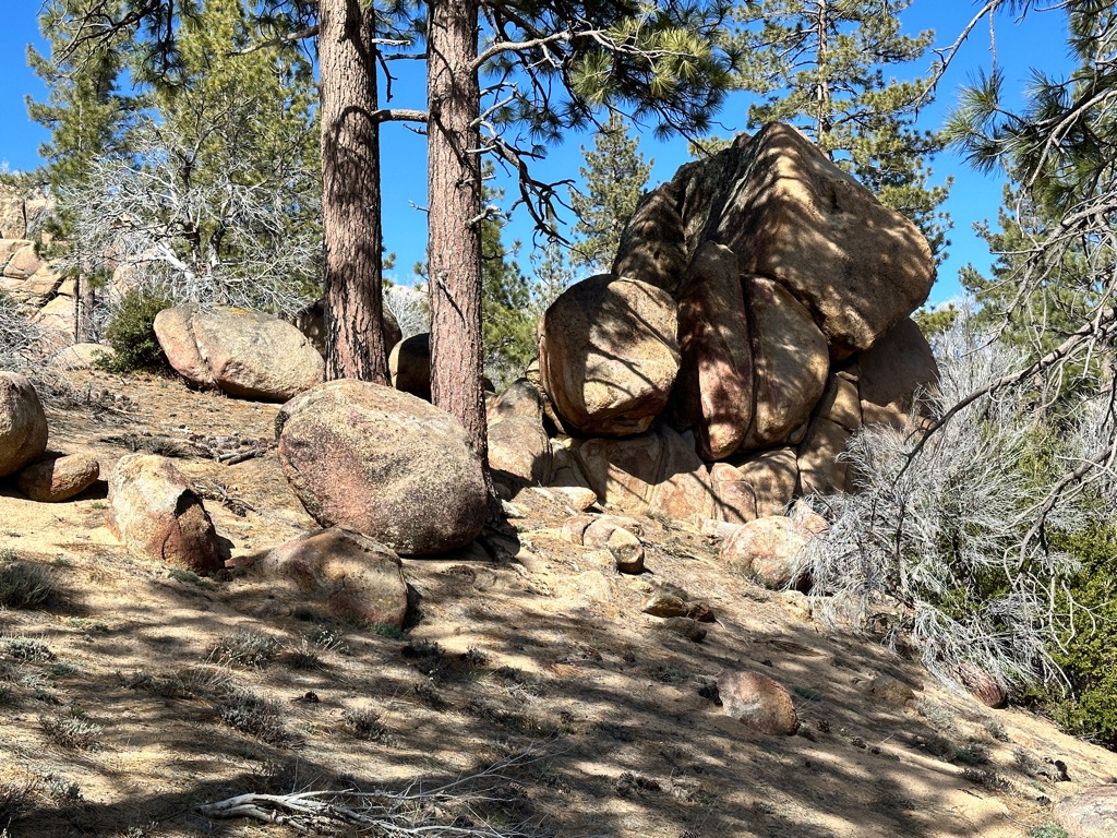
Once we were done with the creek we were back on higher elevation and hiked around and camped at some beautiful rock formations.
![]()
![]()
![]()
![]()
![]()
![]()
OR
Copy the link to @CarstenN Journo below
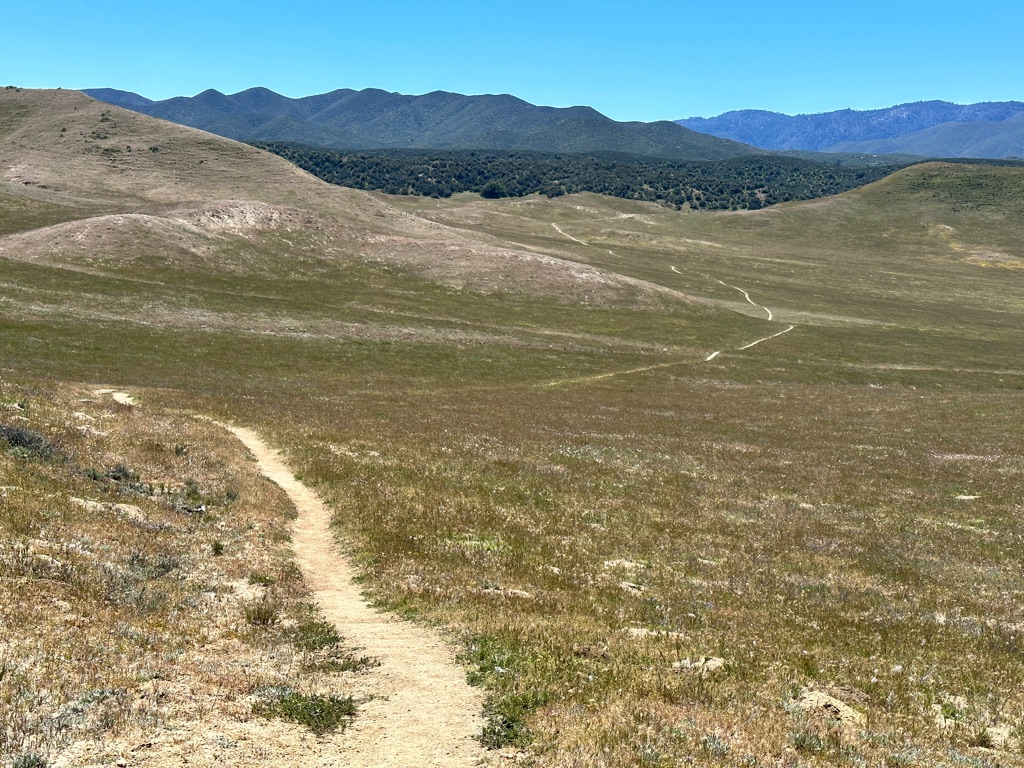
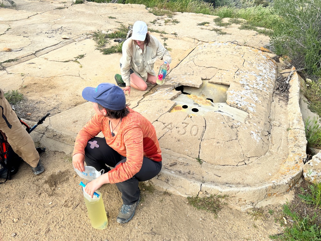
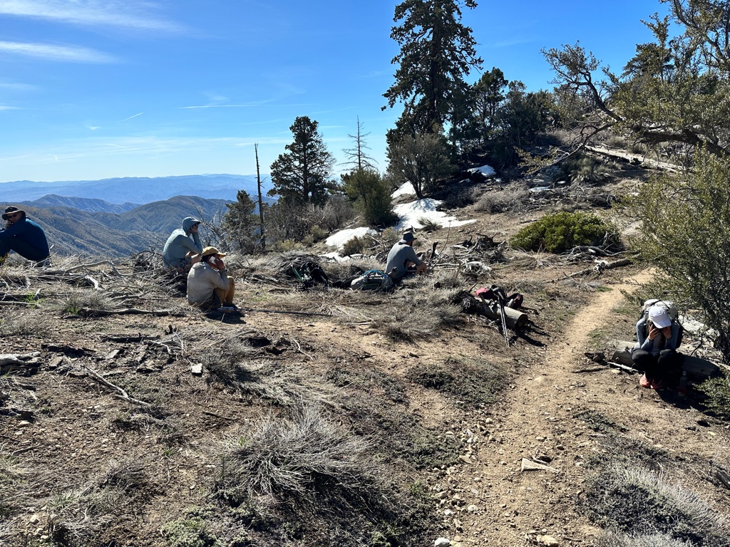
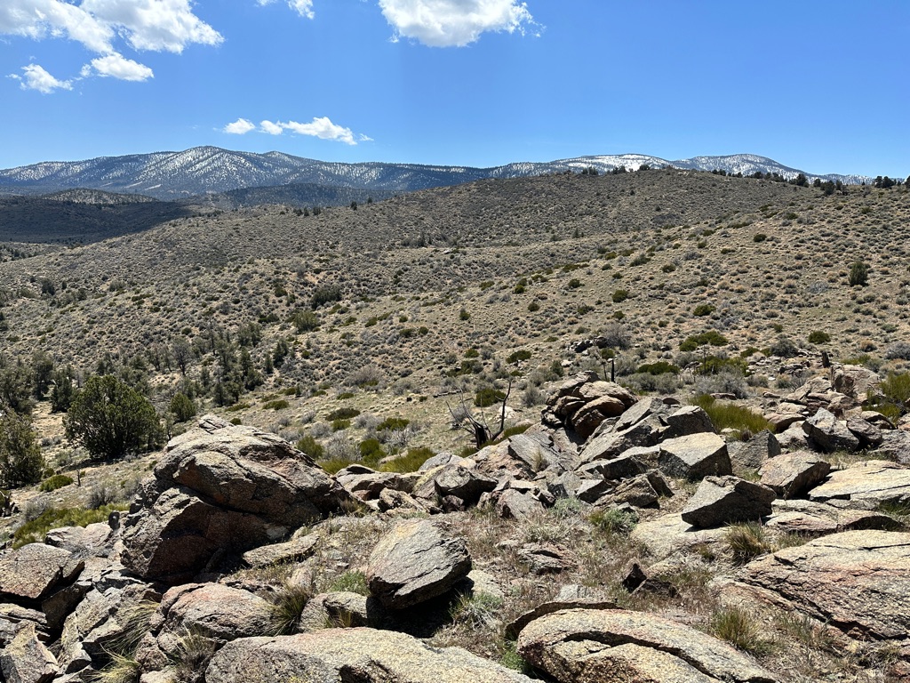
14.9 miles, another personal best. We are definitely picking up the pace.
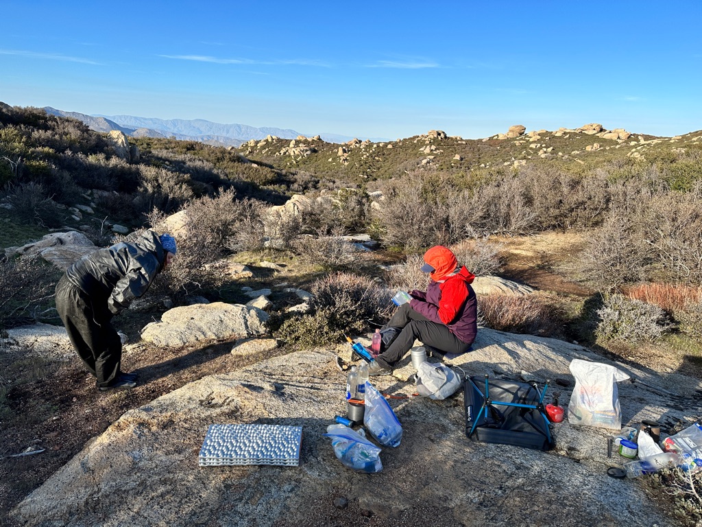
Compared to the first two weeks water has become a frequent concern. Today we skipped going to a spring on a side trail and had to get some rather nasty water from an old concrete cistern. But our water filters are doing their job and apart from discoloration and suboptimal taste the water is okay.
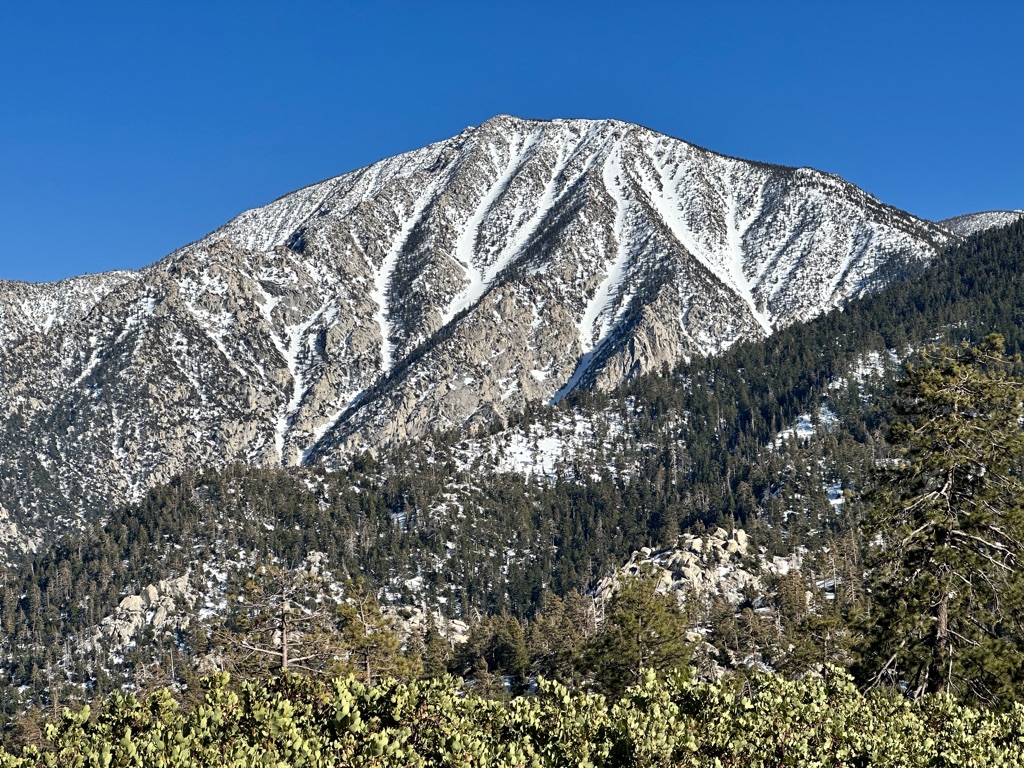
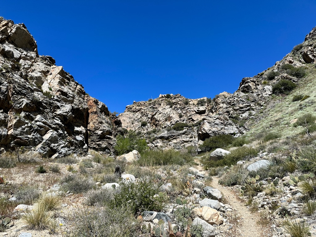
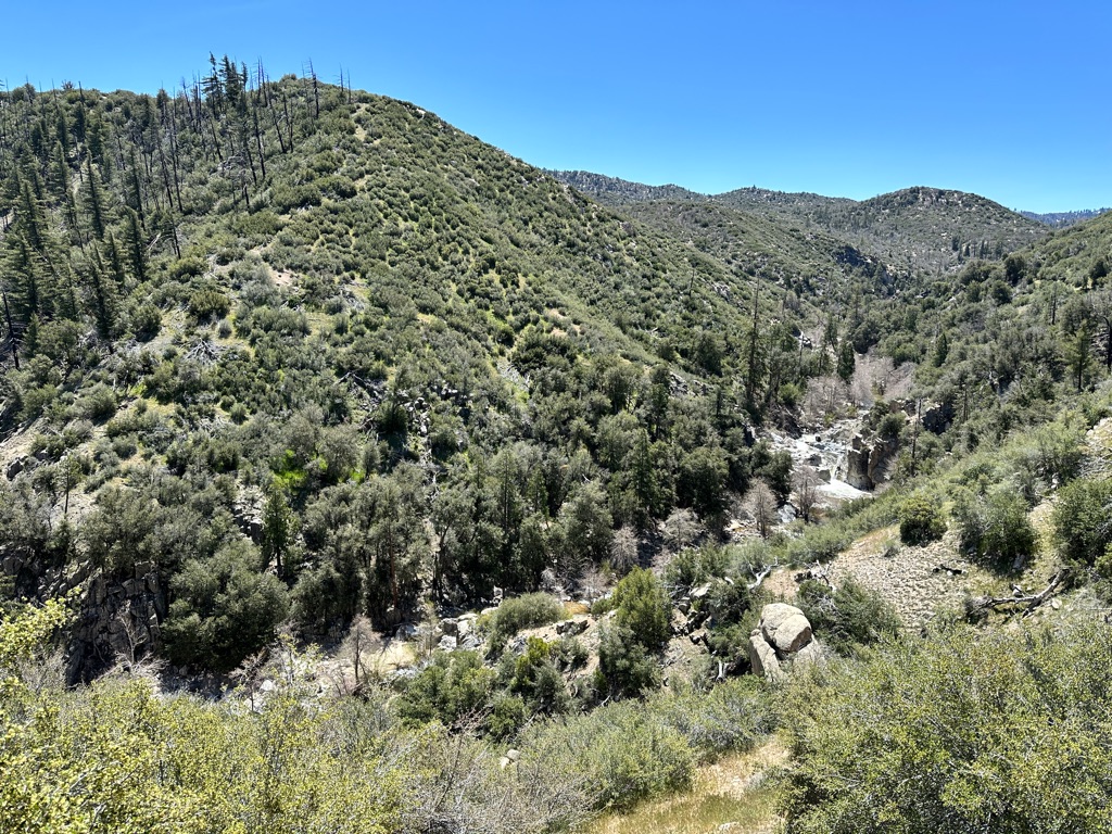
But the trail still provides great sights and scenery.

![]()
![]()
![]()
![]()
![]()
![]()
OR
Copy the link to @CarstenN Journo below
I missed two important definition the last time:
1. Hiker’s Midnight. Usually considered to be 9pm, but very few hikers stay up that late. It gets rather cold in the mountains once the sun goes down, so we often are in our tents before 8pm and everybody is asleep by 8. A really funny example happened on April 28. We were staying at an official State Park campground in the hiker section on a Friday night. There were around 15-20 hikers and many more car campers, families with kids etc. around us. The hikers, mostly in their 20s were in thAlthough we get up around 6am and waking up several times a night I am getting more sleep than in the last several decades.
2. Hiker Legs. After a couple of weeks your legs and whole body get used to the daily amount of hiking and can do many more miles ghan before. The common wisdom is that the first 4-6 weeks of a thru hike are a physical challenge, because your body is not yet really able to grind out big miles every day. After that it becomes a mental challenge. Your body is able to do the miles, eg I don’t really have to slow down on uphill climbs anymore, I can just keep my speed, but yhe question becomes if you can tell yor legs to stop complaining and just keep walking.
Now back to the normal updates:
Again I was the last to leave camp, and it was cloudy for a change and during the morning wr even got some light rain. But in the grand scheme of things two days of rain in over 2 weeks is not bad. The 70s song is almost right: It never rains in Southern California. Spoiler alert: the next time we got precipitation it was a very different story, see May 4.
Lunch break was at Mary’s Place a well known water cache and rest place maintained by trail sngrl Mary.
The prospect of getting to Paradise Valley Cafe and its famous burgers motivated us all and we were fastern than ever before.
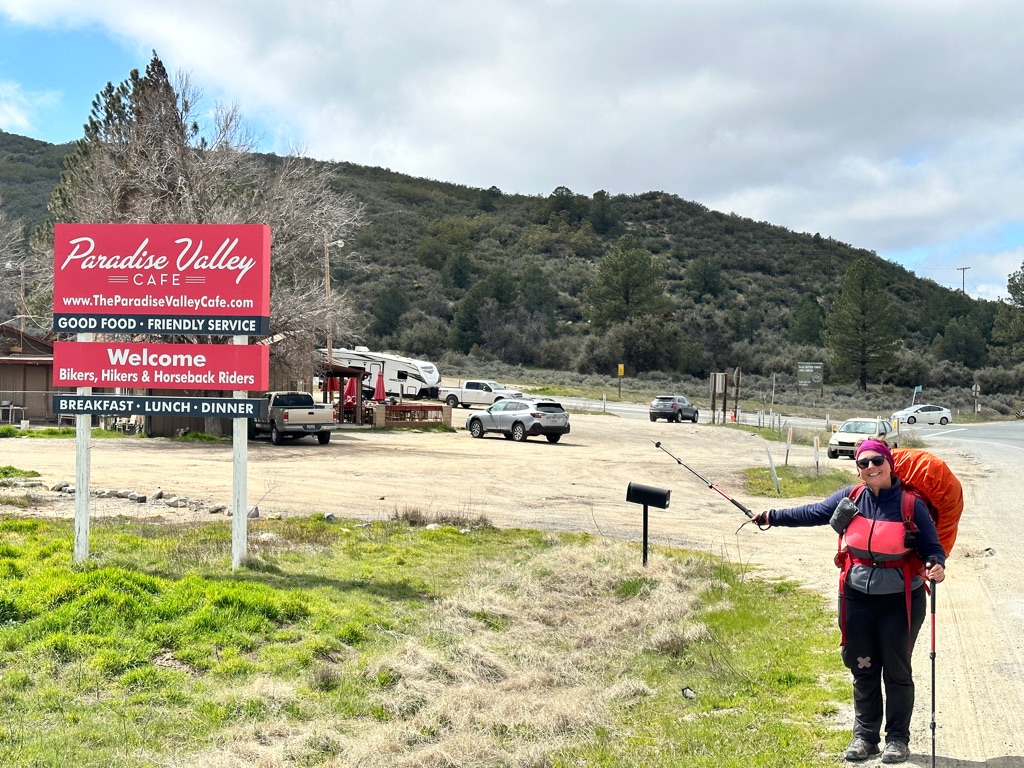
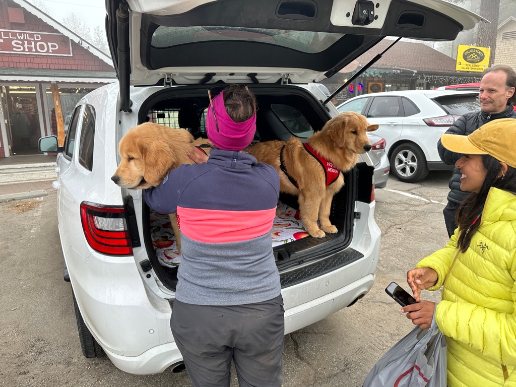
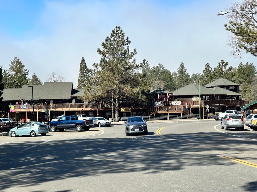
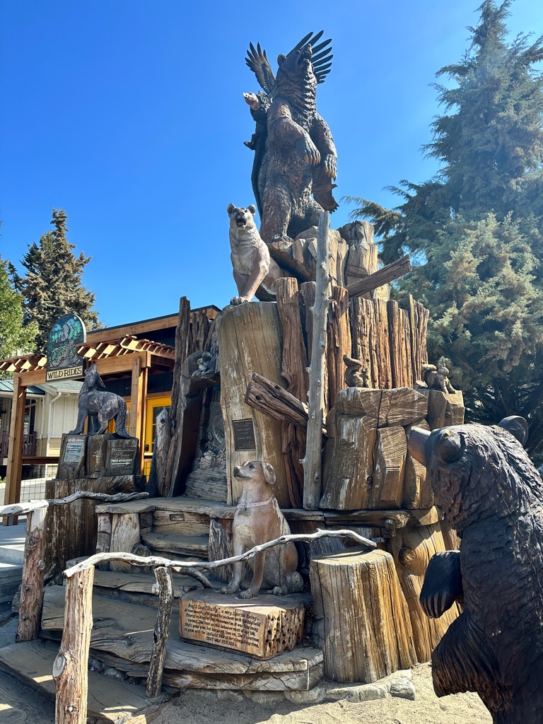
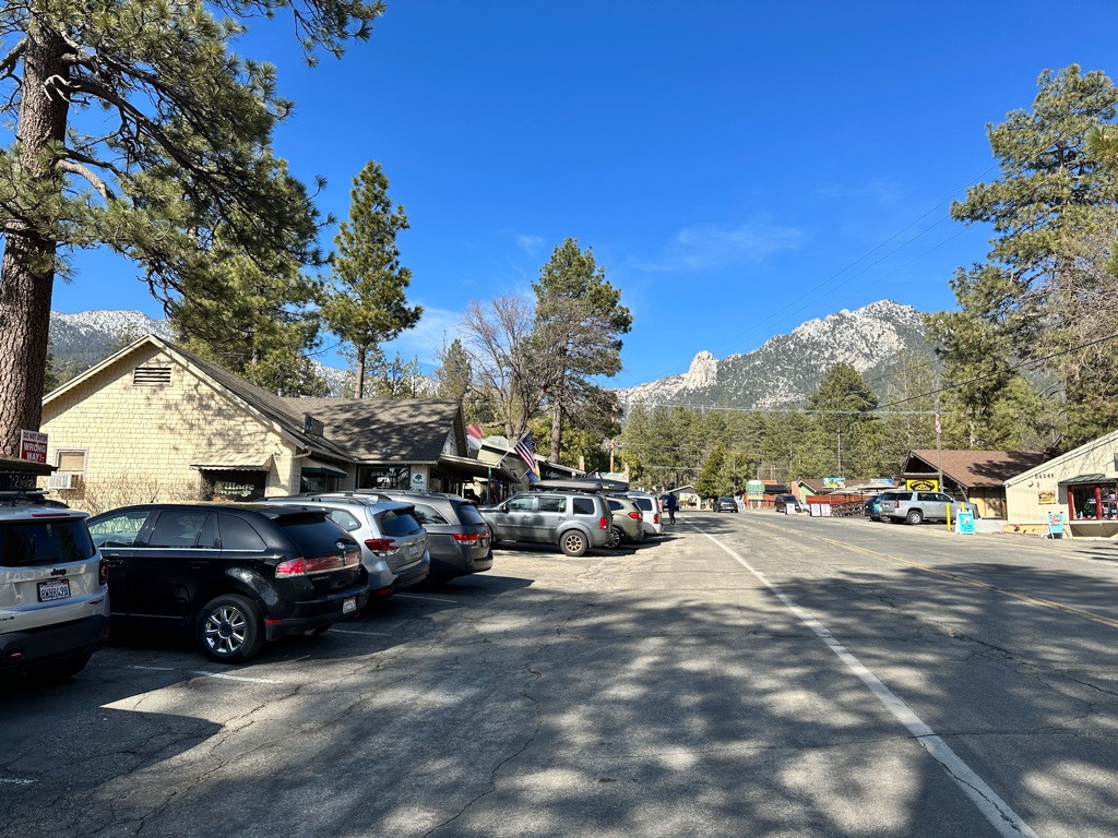
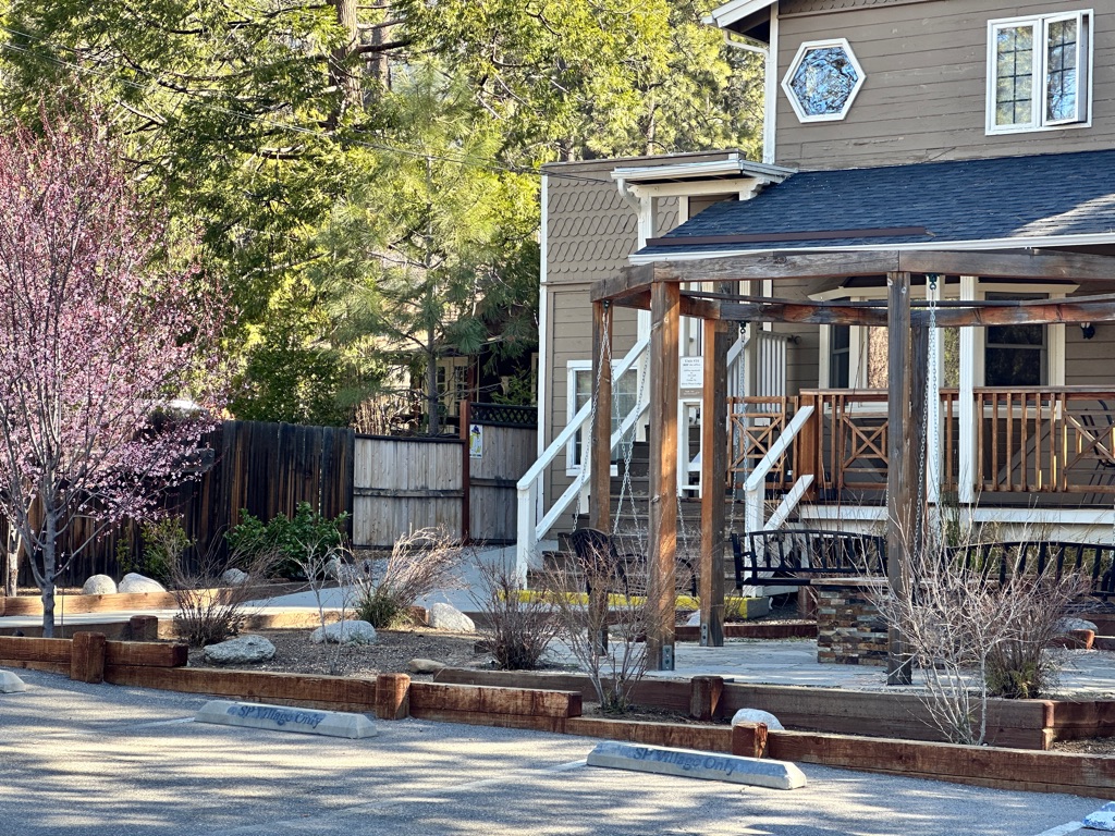
After a tasty burger, which I basically inhaled in record time, and beer we got a ride with trail angel “Grumpy” to Idyllwild, where we had booked a AirBnB for two nights to do a zero.
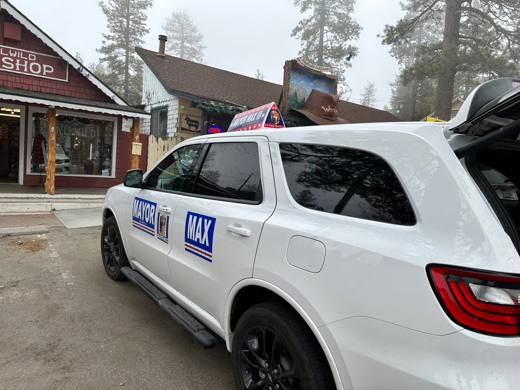
We checked out the town and also met the “mayor”, see https://www.mayormax.com for details.
![]()
![]()
![]()
![]()
![]()
![]()
OR
Copy the link to @CarstenN Journo below
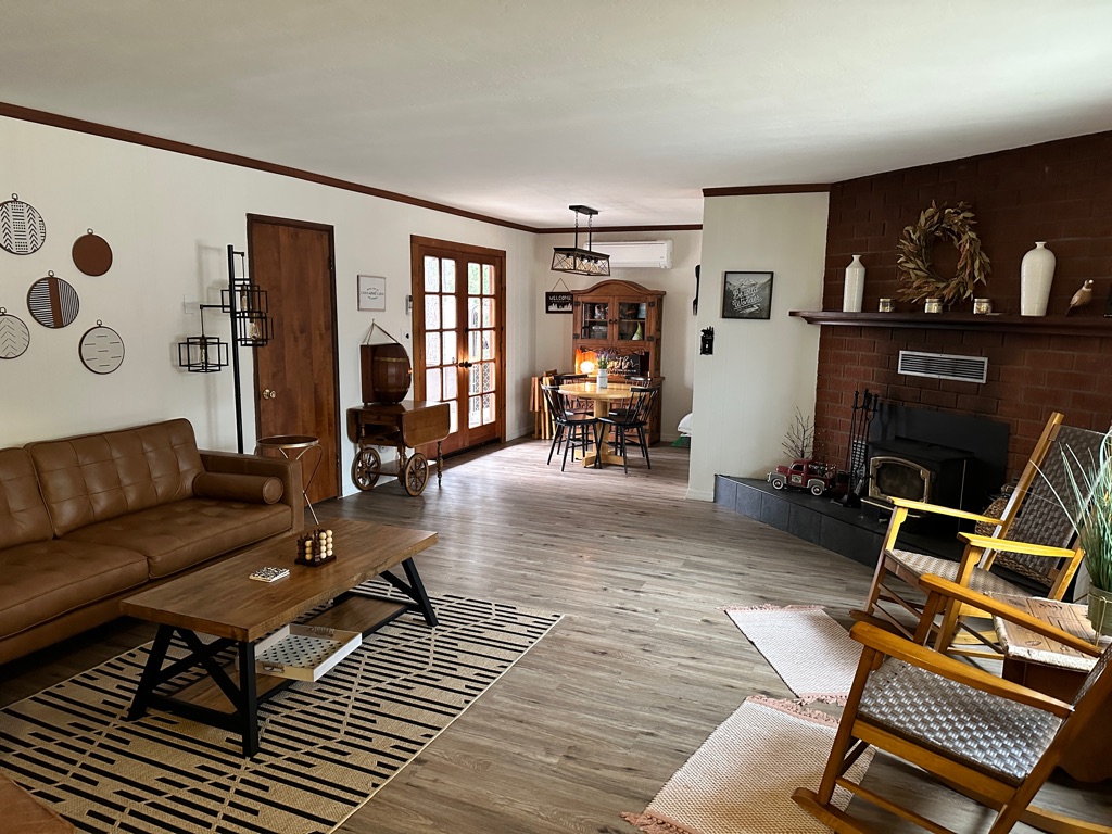
Great day in Idyllwild doing laundry, resupply and good food. Plus sleeping in a real bed.
![]()
![]()
![]()
![]()
![]()
![]()
OR
Copy the link to @CarstenN Journo below
Back to the trail today. We decided to skip the dangerous and still snowed in high altitude sections of Mt. San Jacinto, but we wanted to hike at least the accesible parts, so we went back to where we left the trail near Paradise Valley Cafe with the help of Grumpy and did a short 8 miles mostly uphill.
![]()
![]()
![]()
![]()
![]()
![]()
OR
Copy the link to @CarstenN Journo below
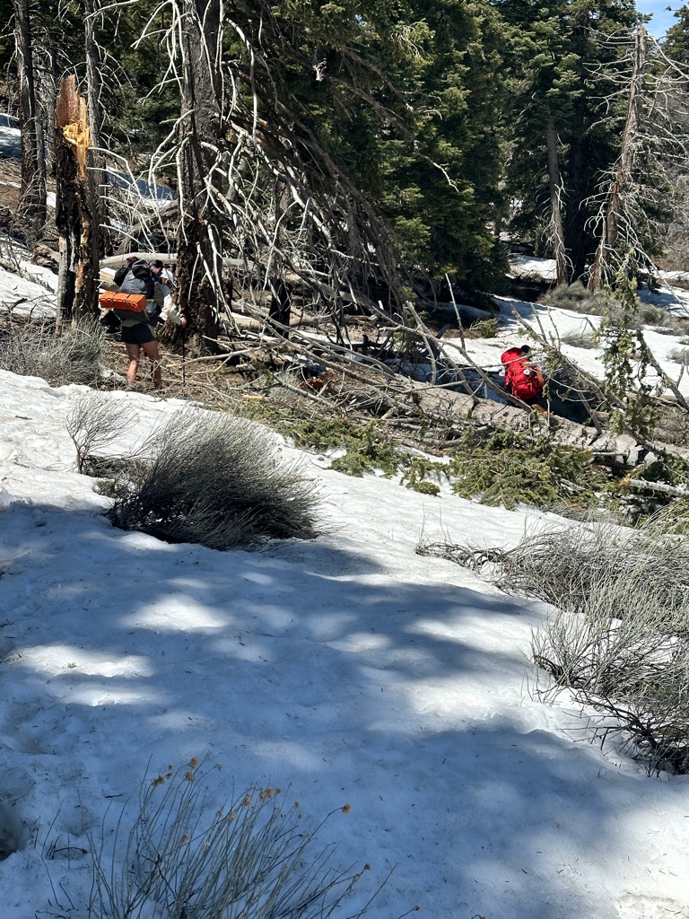
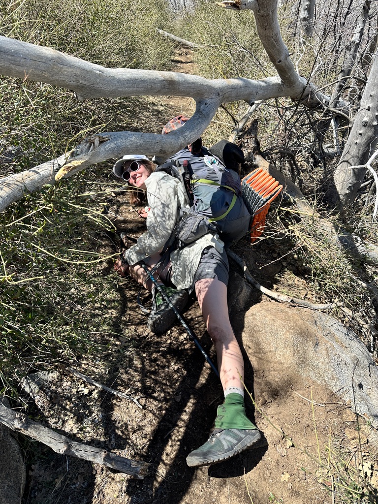
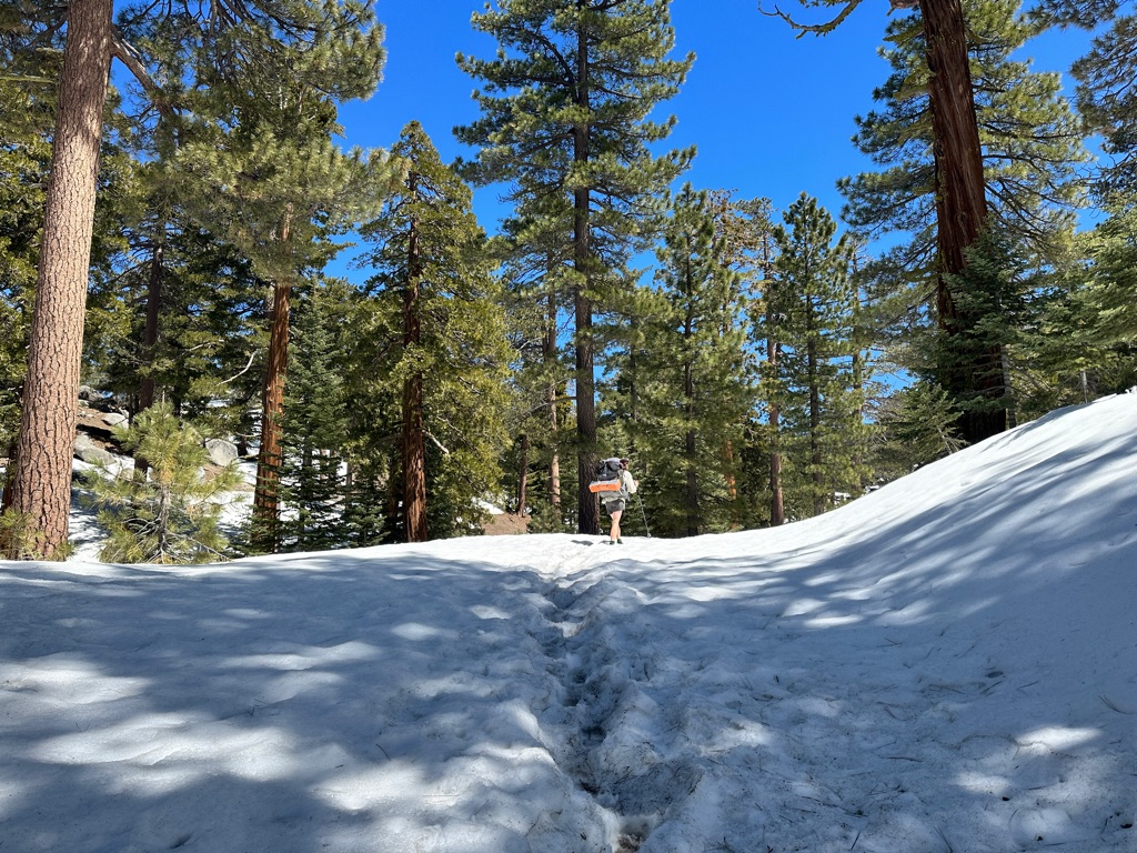
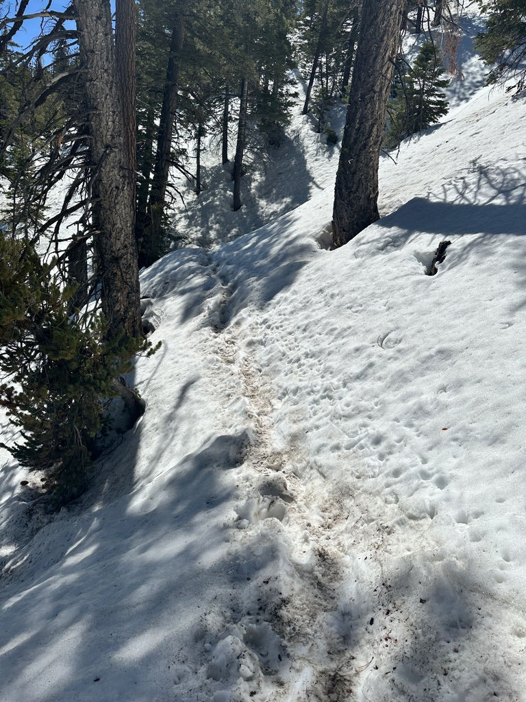
We continued uphill and encountered some patches of snow. Thise were not too difficult to navigate, but yhe 25+ blowdowns we had to crawl under, climb over or bushwack around were no fun.
Our original plan was to make it to the Spitler trail junction and then hike down again to get back to Idyllwild. But after fighting the blowdowns we decided to bail out at Fobes Ranch trail already.
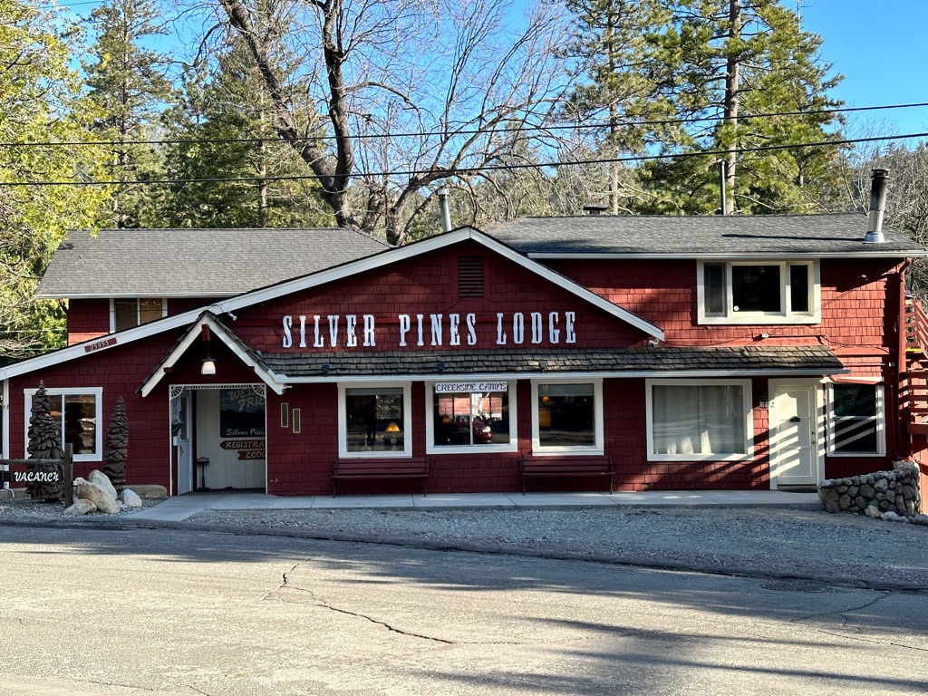
After an other ride with Grumpy we were back in Idyllwild, had pizza and stayed at the Silver Pines Lodge in the “secret” room with the PCT hiker discount.

![]()
![]()
![]()
![]()
![]()
![]()
OR
Copy the link to @CarstenN Journo below
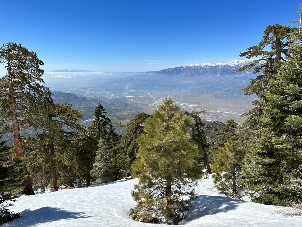
Since the stores were closed the day before (some places close on Sunday, even in the USA), we resupplied in the morning and got to Black Mountain Road the recommended detour around the sketchy peak of San Jacinto.
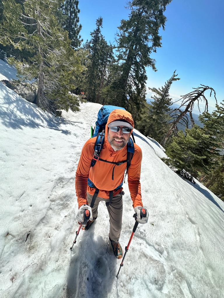
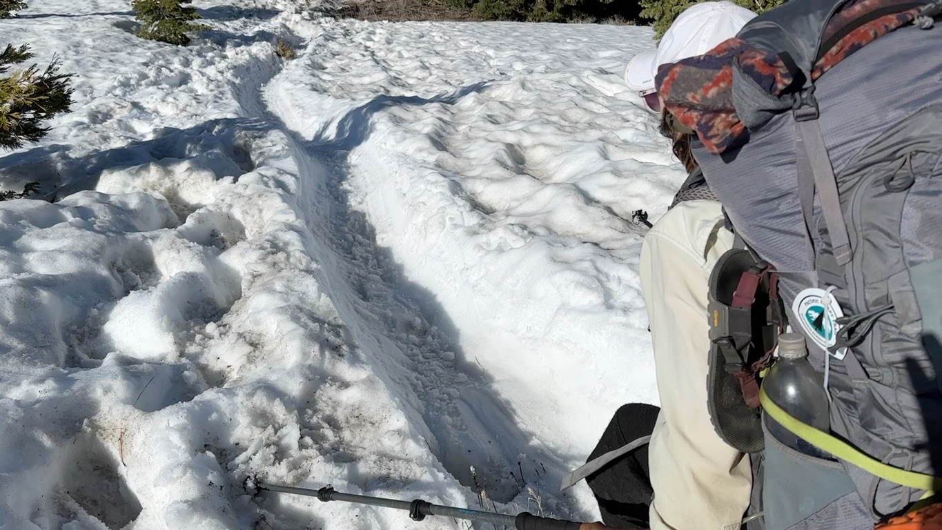
The last to miles up the road to rejoin the PCT were covered in snow and I used my micro spikes for the first time.
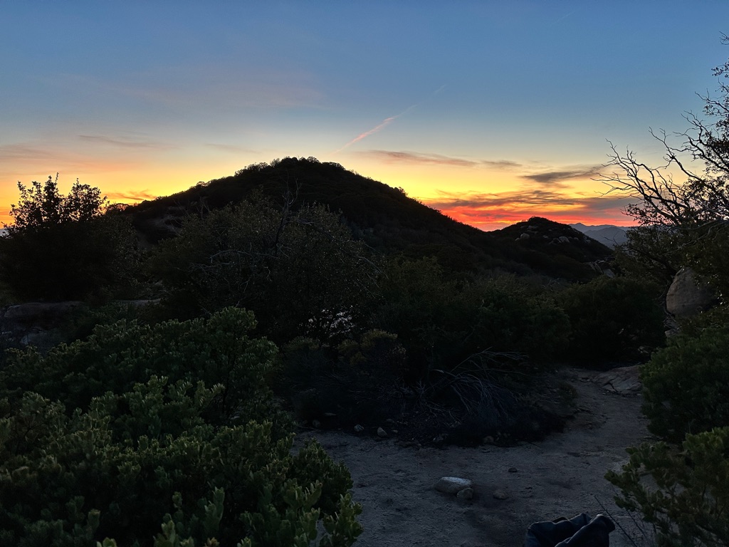
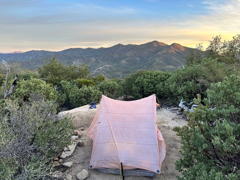
After another couple of miles on PCT we got out of the snow and set up camp at a beautiful but very windy spot.
![]()
![]()
![]()
![]()
![]()
![]()
OR
Copy the link to @CarstenN Journo below
Due to the strong winds we cut breakfast short and left as quickly as possible and started the long and winding decent towards Cabazon.
The wind basically never stopped and once we got down to the valley and were heading towards the Interstate 10 underpass it felt like getting sand blasted.
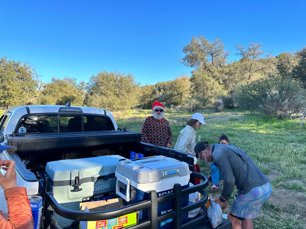
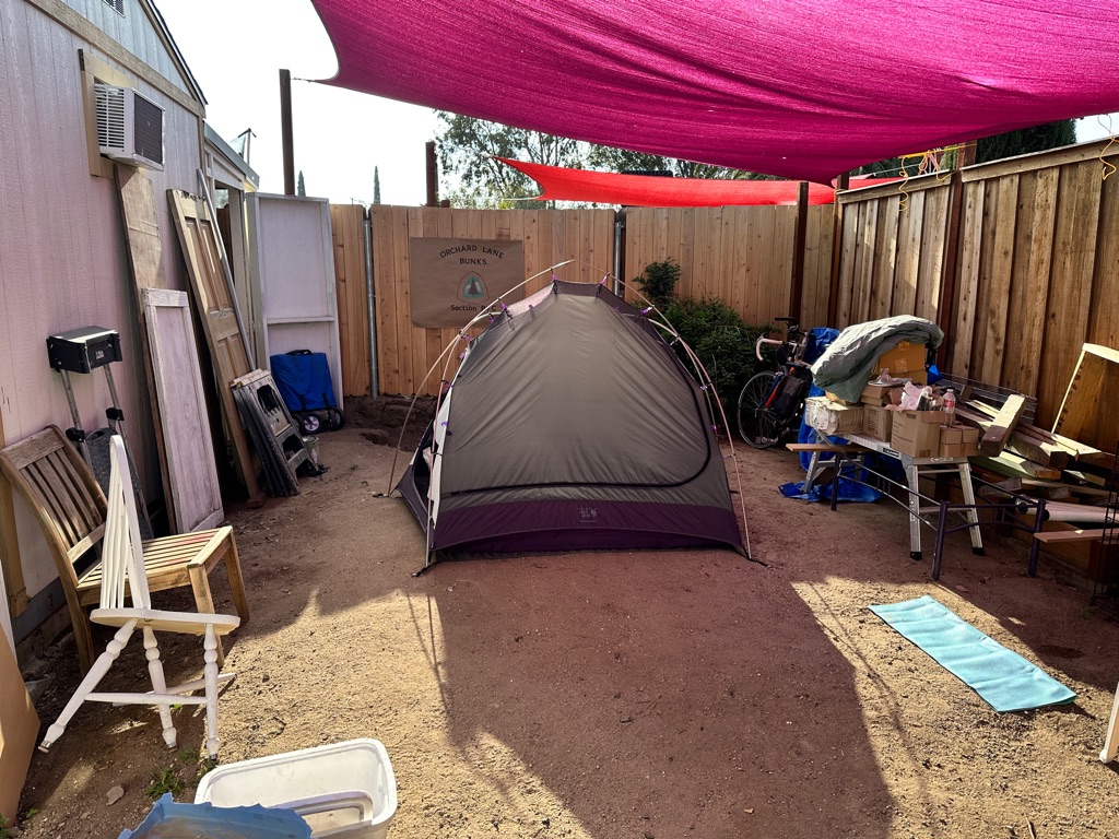
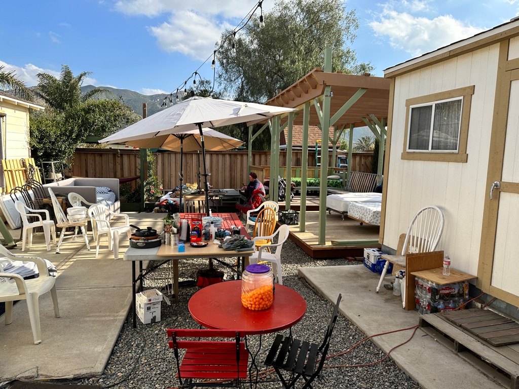
Trail Angel Nitsy picked us up, we stopped at In ‘n Out Burgers and she also drove us to Walmart to resupply. Eventually we slept in her backyard which she turned into a hiker hostel.
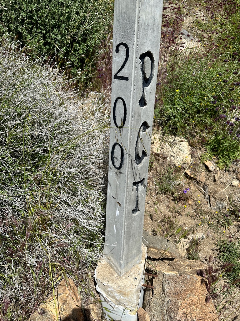
Another milestone: 200 miles.
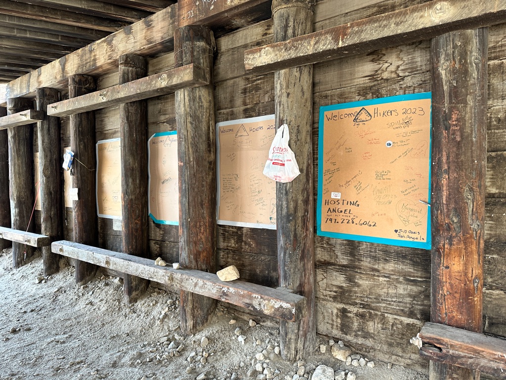
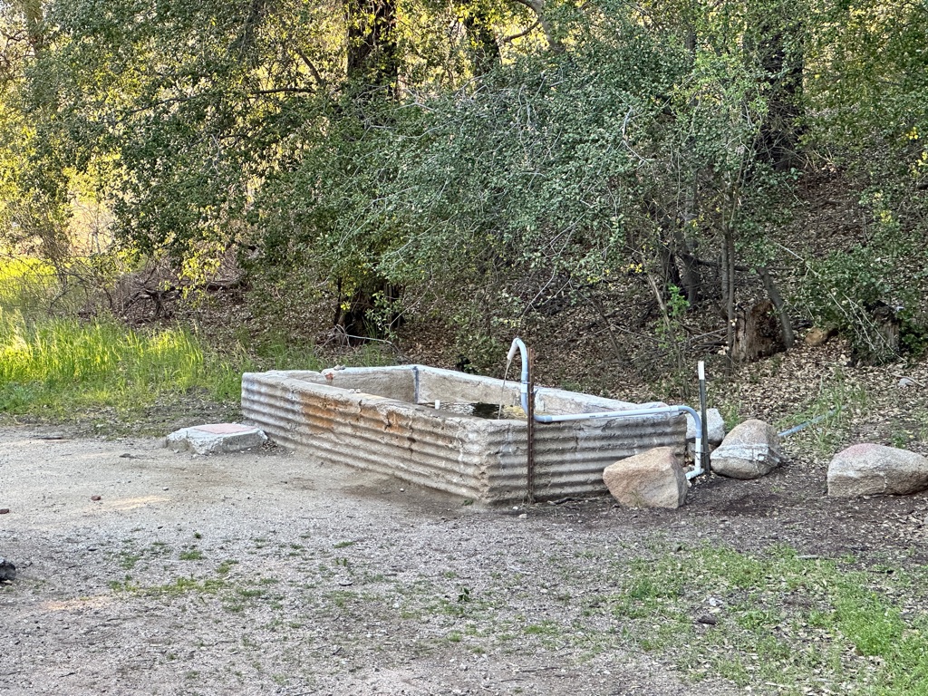
The I 10 underpass provides water, tips for hikers and a board to sign.
![]()
![]()
![]()
![]()
![]()
![]()
OR
Copy the link to @CarstenN Journo below
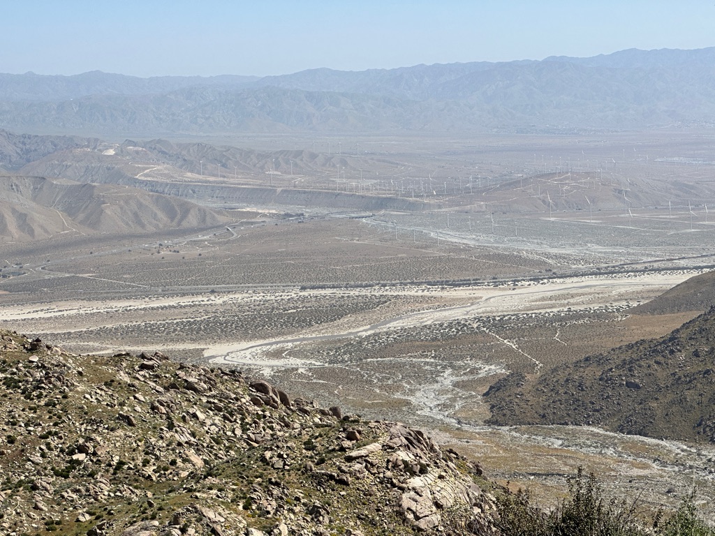
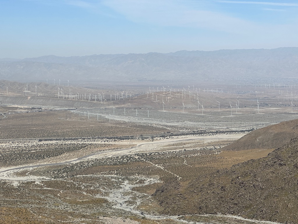
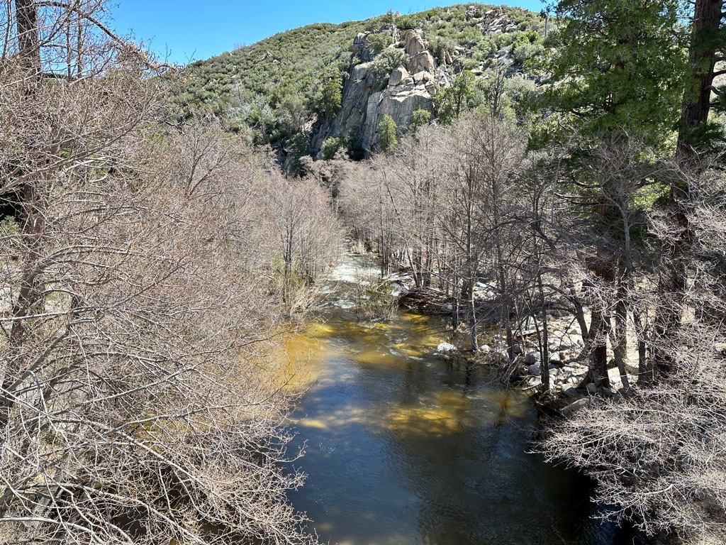
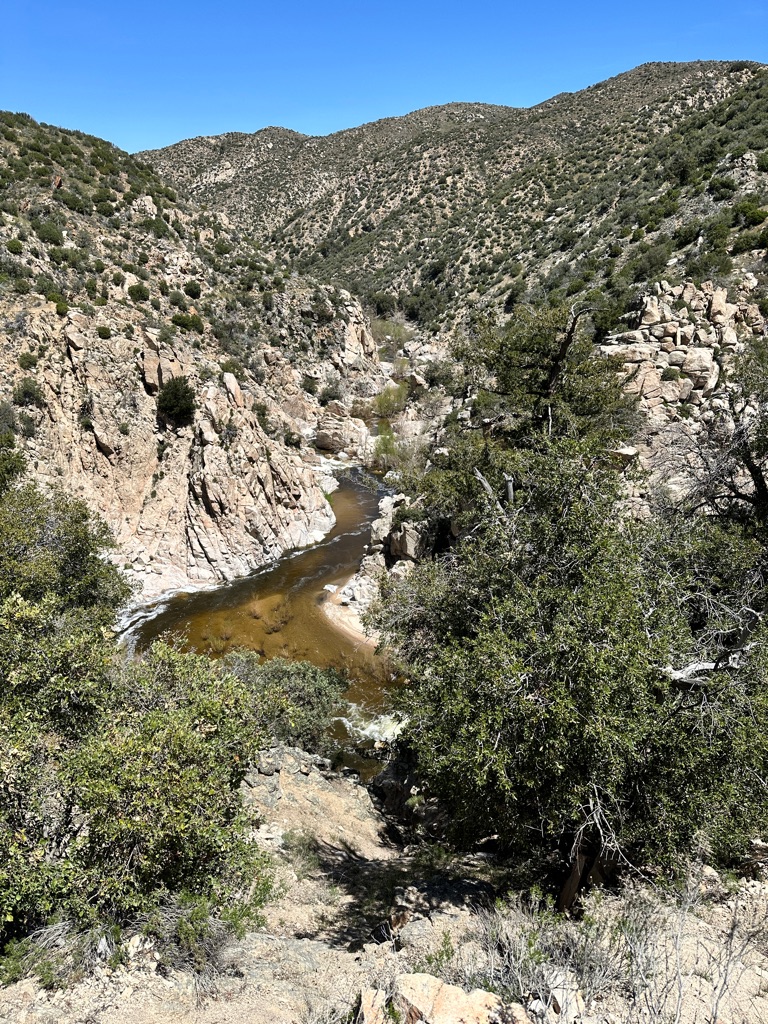
The next section goes back up into the mountains including one of the biggest river crossings in Southern California, the White River.
Along the way we saw a lot wild flowers, one of the positive effects of the large amounts of snow and rain that fell this winter.
The pictures below are from April 19, but also dates before and after to illustrate the variety of flowers and plants we saw in desert section.
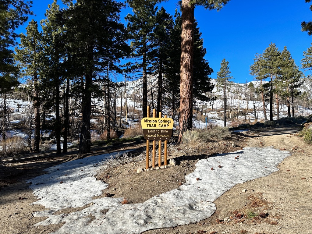
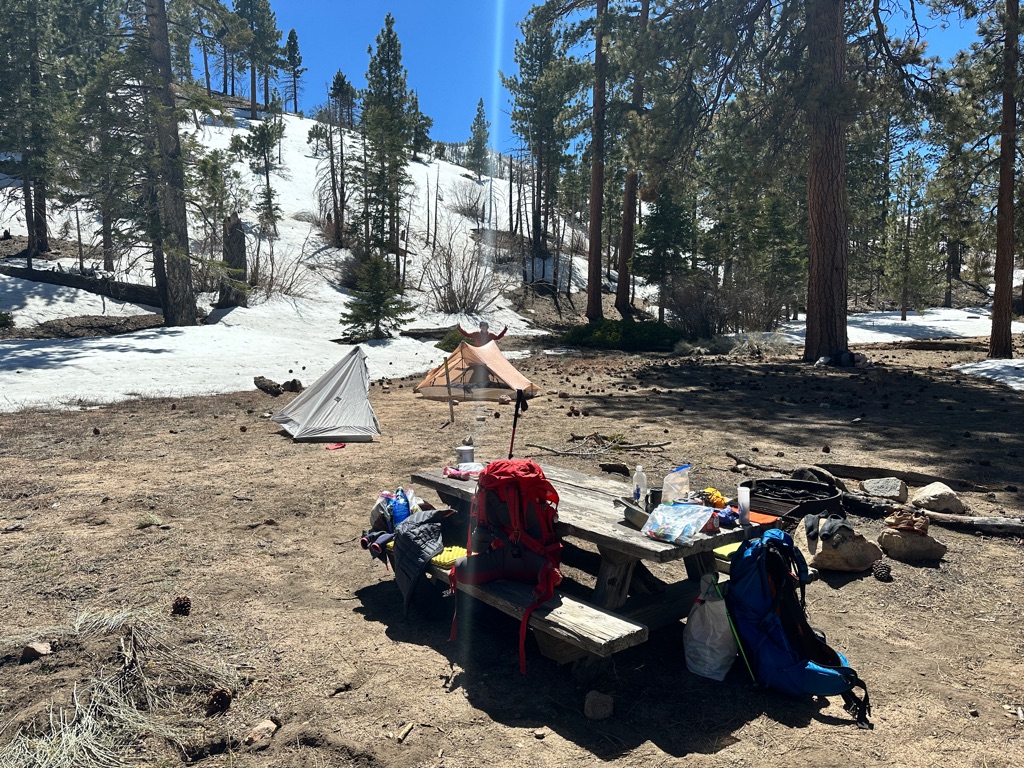
The day ended in the mountains at Mission Creek.


![]()
![]()
![]()
![]()
![]()
![]()
OR
Copy the link to @CarstenN Journo below
For most of the day we followed Mission Creek and crossed it 25+ times. My shoes got wet during the very first crossing, so I didn’t bother trying to keep them dry for the rest of day, which made the following crossings much easier since I didn’t care about stepping into the creek anymore.
Since we knew we would hit snow the next day and it is much easier to hike on frozen snow in the morning than on slush in the afternoon we decided to get up at 3am to get going at 4:30am.
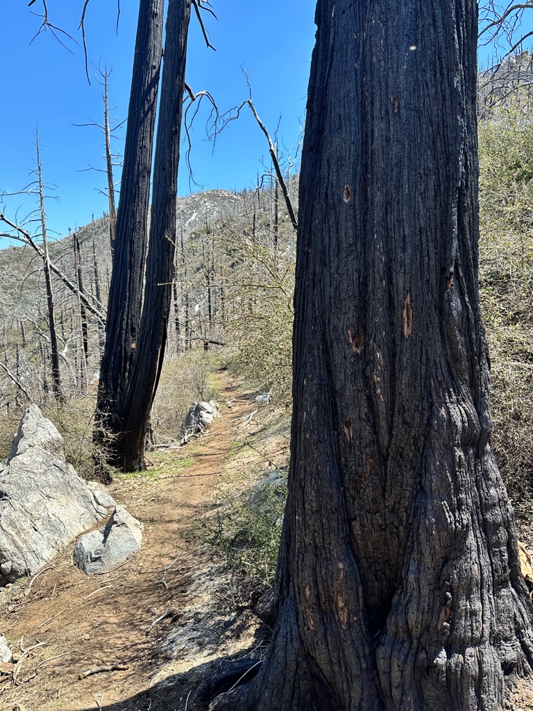
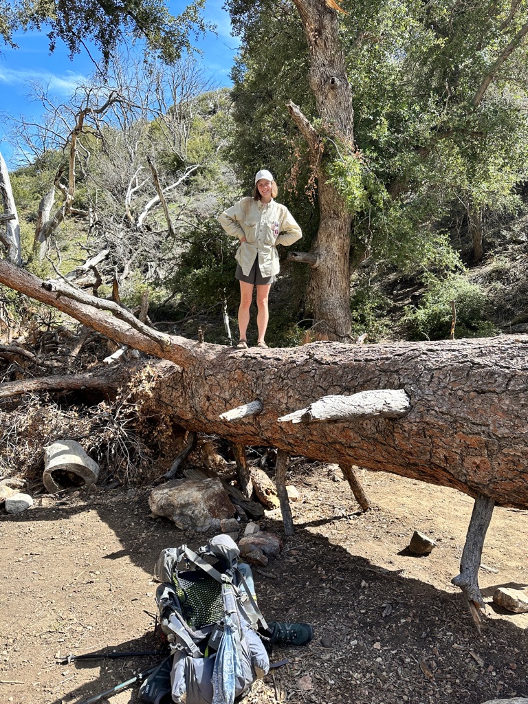
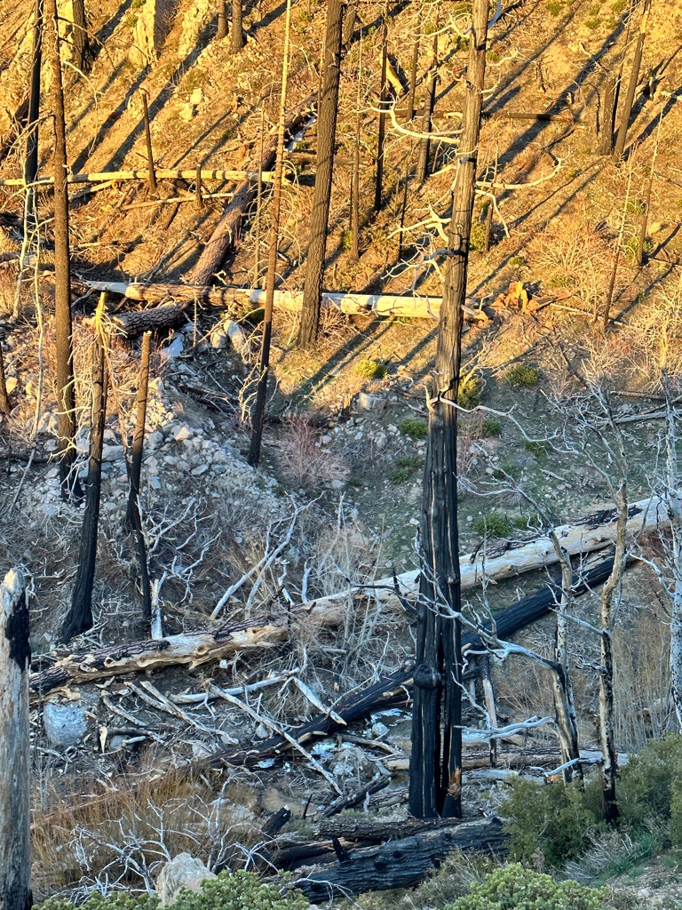
We camped next to a huge fallen tree in a burned area.
![]()
![]()
![]()
![]()
![]()
![]()
OR
Copy the link to @CarstenN Journo below
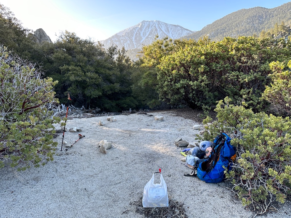
We had the planned early start, but Katrin from our group came down with a cold and nasty cough, so we only made it a few miles up to the top of the mountain and spend the day at a nice camp spot. Gritty kept on going and we caught up with her again in Big Bear a few days later.
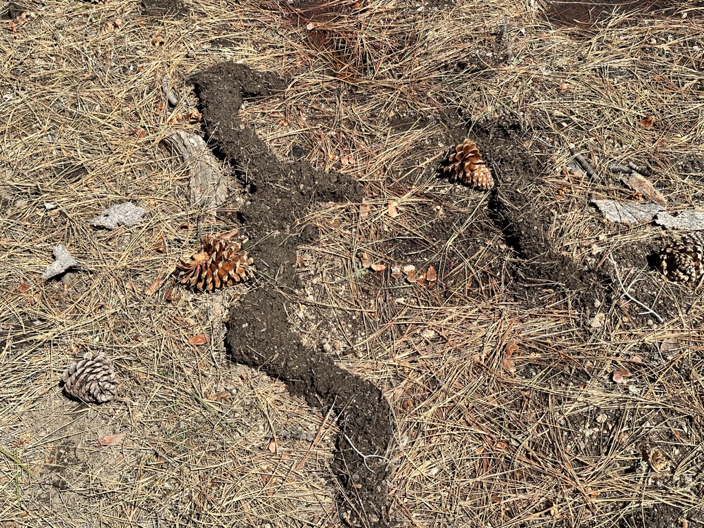
As far as I can tell these structures are tunnels some type of rodent dug under the snow and this is what is left behind once the snow melted.
![]()
![]()
![]()
![]()
![]()
![]()
OR
Copy the link to @CarstenN Journo below
After a lot of rest the previous day and a good night’s sleep Katrin felt better and we continued towards Big Bear. We met Joerg from Cologne again and started to hike with him. We had bumped into each other several times before in Mount Laguna and Idyllwild, but so far were hiking on a different schedule.
We had to deal with several miles of snow on the northern slopes and it wasn’t exactly fun. The amazing part was that on the southern slopes there was no snow, the ground was dry and dusty and with temperatures in 60s F. It was hard to believe that just around the next corner I might be back in several feet of snow.
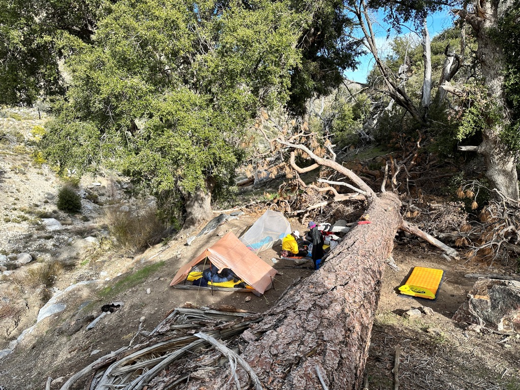
We finally made it thru the snow and down from the mountain and camped near a dirt road.
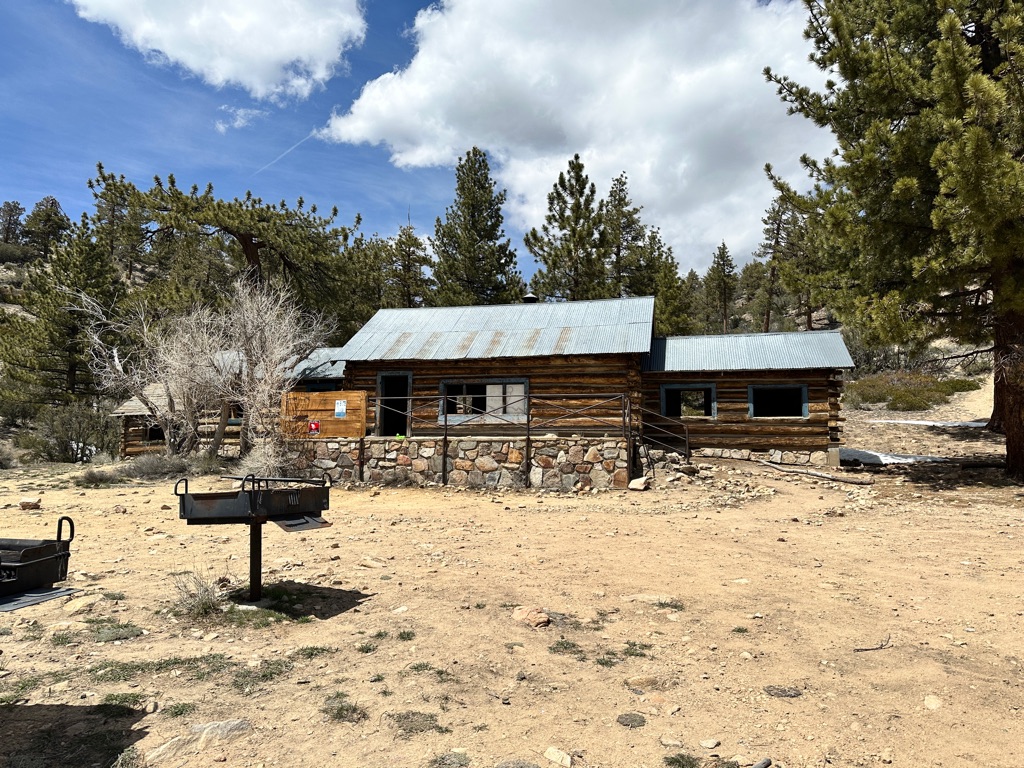
We had lunch at this old cabin in the sun.
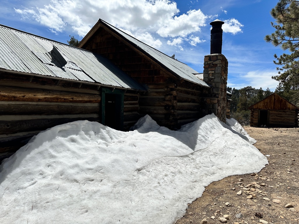
Back of the cabin.
![]()
![]()
![]()
![]()
![]()
![]()
OR
Copy the link to @CarstenN Journo below
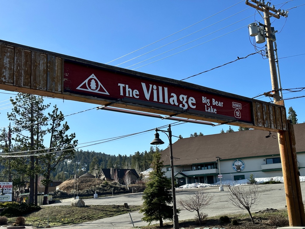
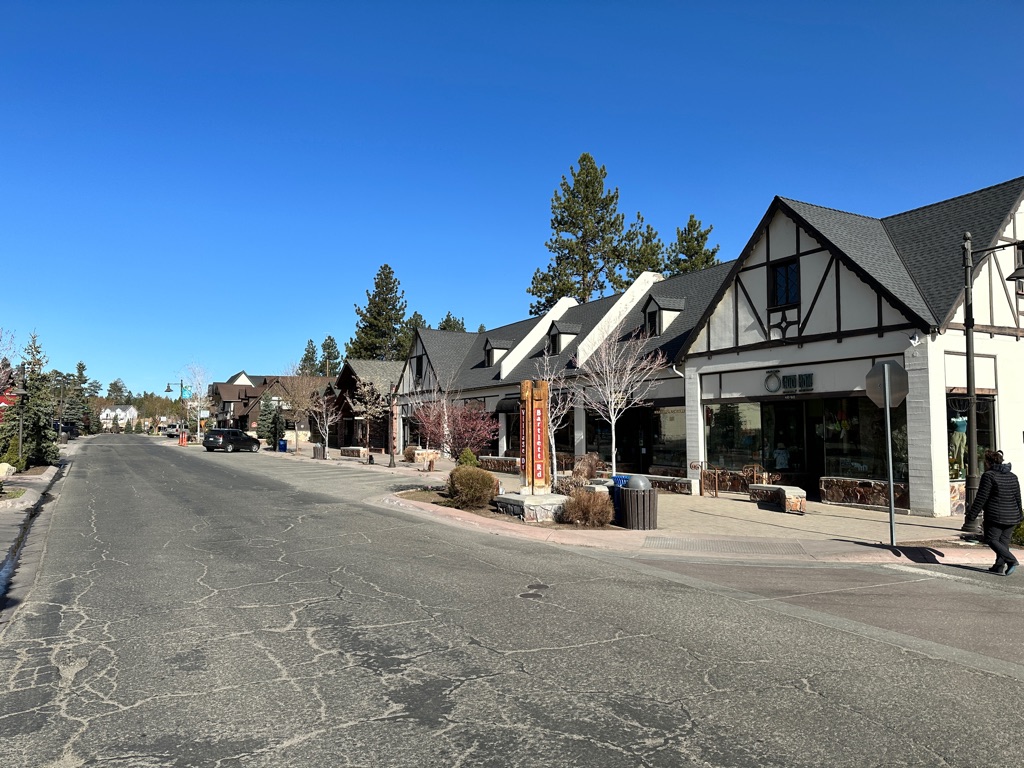
We finished the day aroubd 3pm and got a ride to Big Bear right away. Some other hikers had an AirBnB we could share and after the needed shower and laundry we went for pizza and beer.
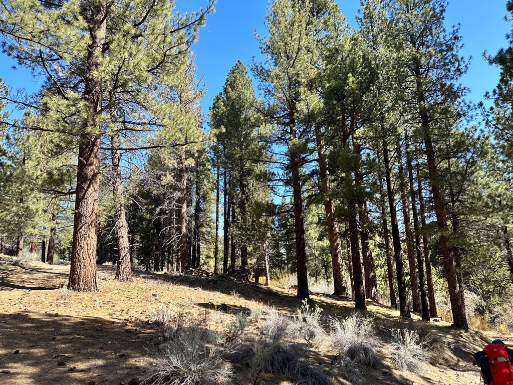
The landscape changed at the lower elevation.
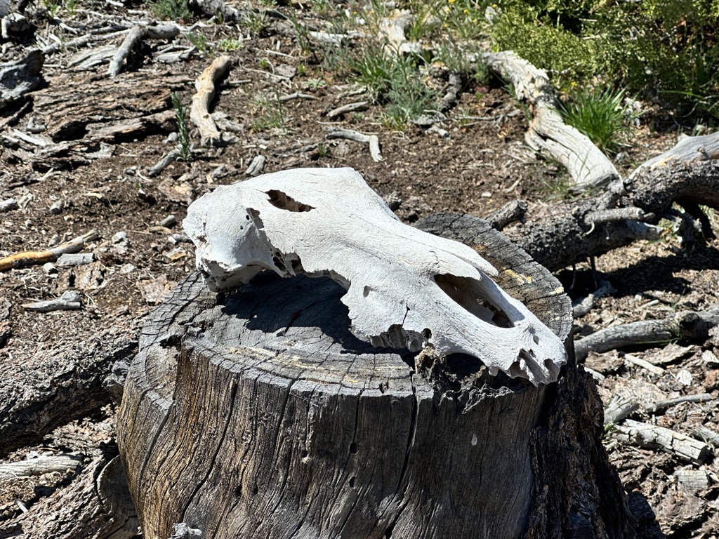
A horse or mule skull along the way.
A short side trail led to this rock formation.
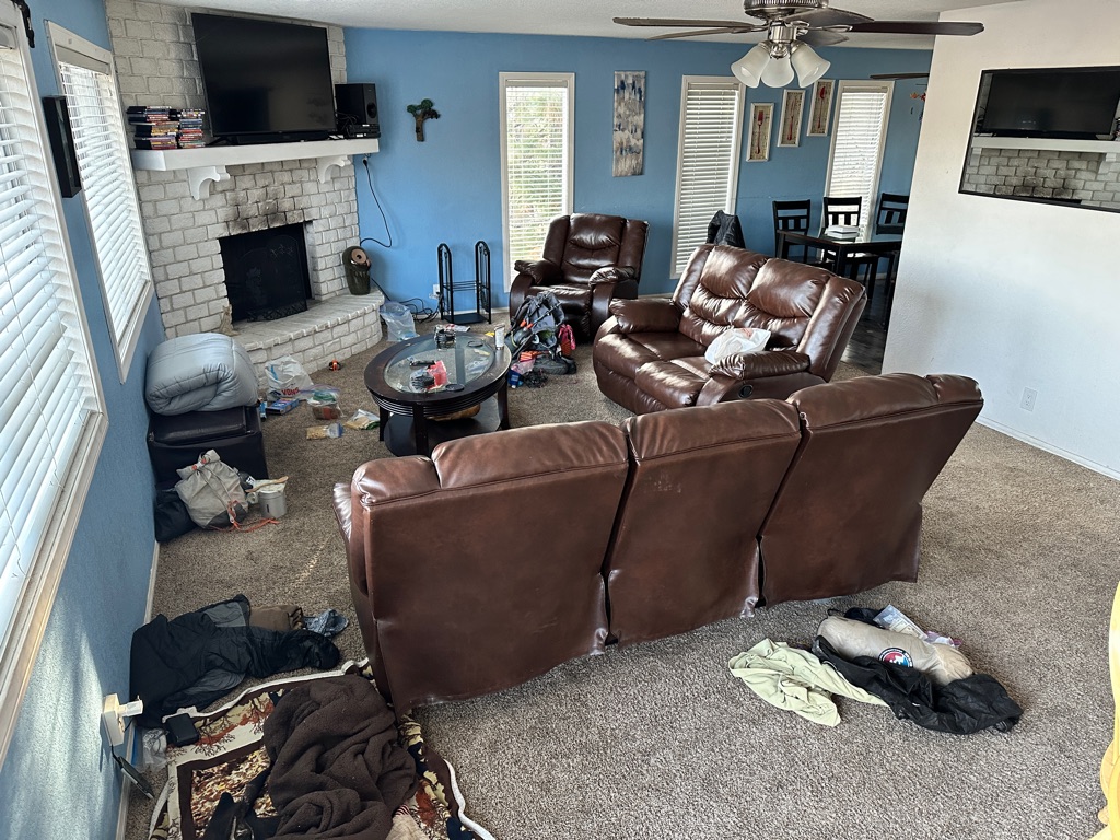
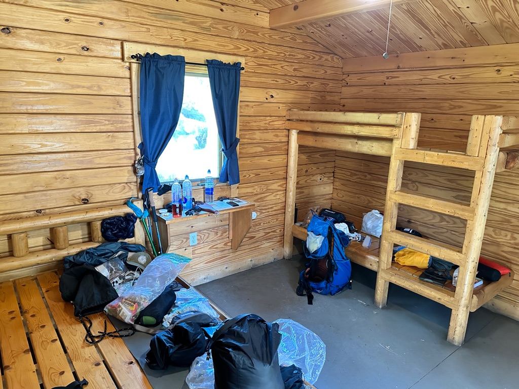
When hikers stay at an AirBnB…
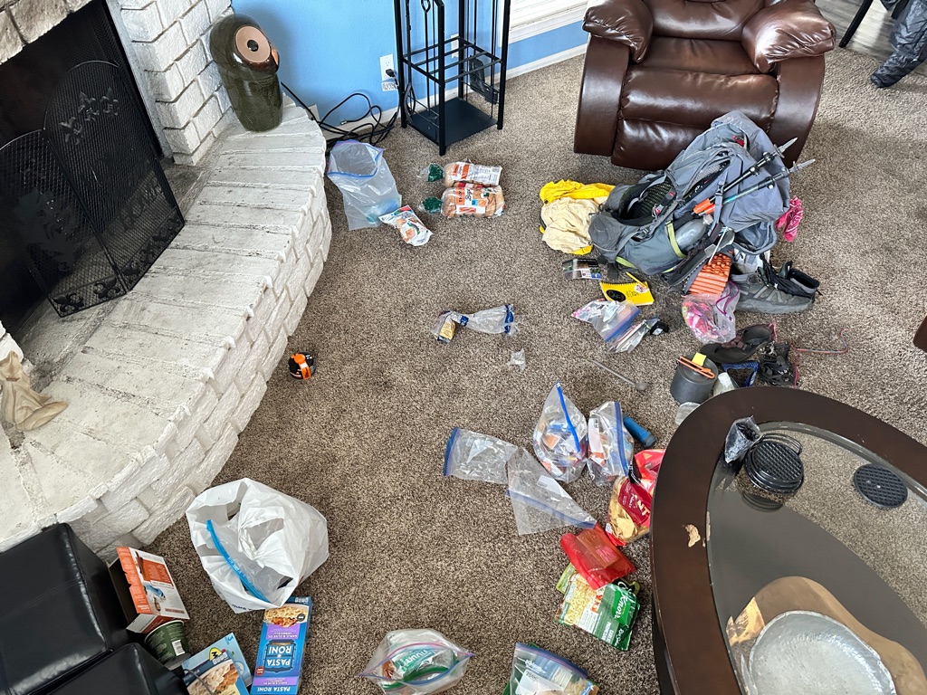
… gear explosions are common.
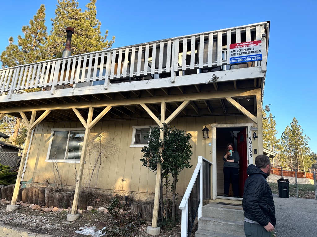
The outside of our place.
![]()
![]()
![]()
![]()
![]()
![]()
OR
Copy the link to @CarstenN Journo below
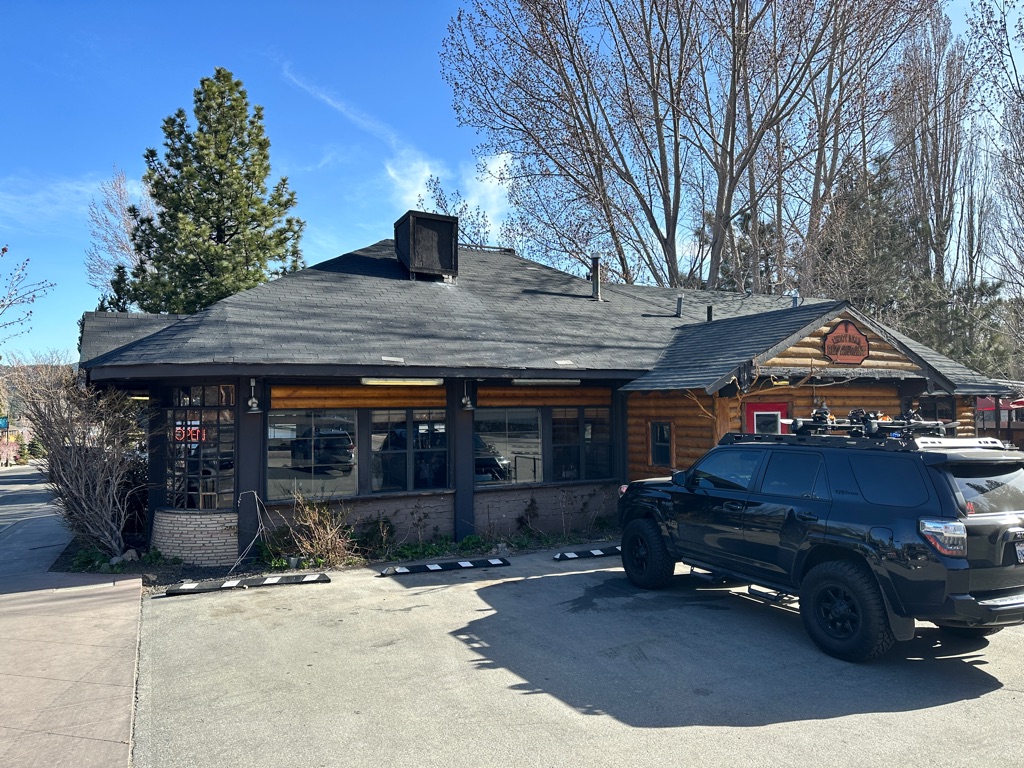
After a hearty full breakfast we went shopping to resupply for the next section.
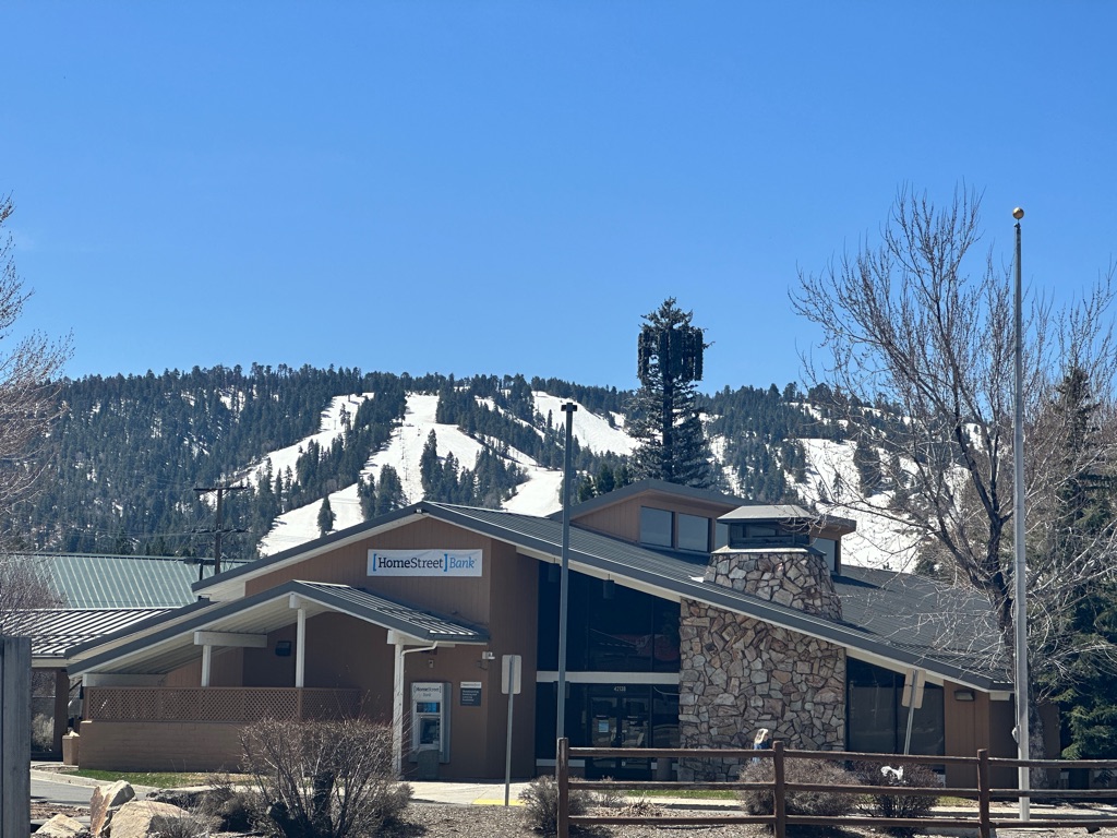
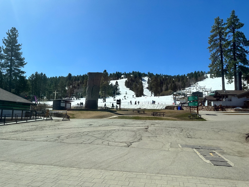
The free shuttle bus in Big Bear also stopped at the bottom of the ski resort, which was still operating in late April. Seemed rather strange since the temperatures in the valley were in the 70s F (20s C) and we were just north of LA.
After lunch we took an Uber back to the trail and did 10 miles until 7pm.
![]()
![]()
![]()
![]()
![]()
![]()
OR
Copy the link to @CarstenN Journo below
We were supposed to hit snow again after a few miles, but to Katrin and my’s delight we initially didn’t and the trail was wide, easy and going downhill. As we found out way too late that was because we took the wrong turn at a junction and walked 1.6 miles downhill in the wrong direction. After 1.6 miles uphill we were back on trail and soon encountered snow.
To catch up with the others in our group we decided to keep on going late and after two river crossings shortly before the end we finally reached the tentsite. This was the first 20 mile day.
The little brown post on the right indicates where the PCT takes a sharp right.
Second crossing. The first one was via balancing on a log, this one was easier. We just put sandals on and walked thru the river.
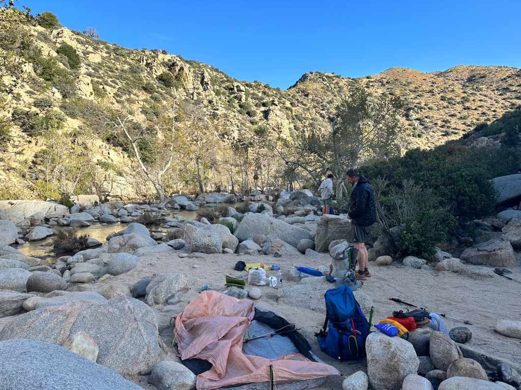
Fancy log table and benches at the tentsite.
![]()
![]()
![]()
![]()
![]()
![]()
OR
Copy the link to @CarstenN Journo below
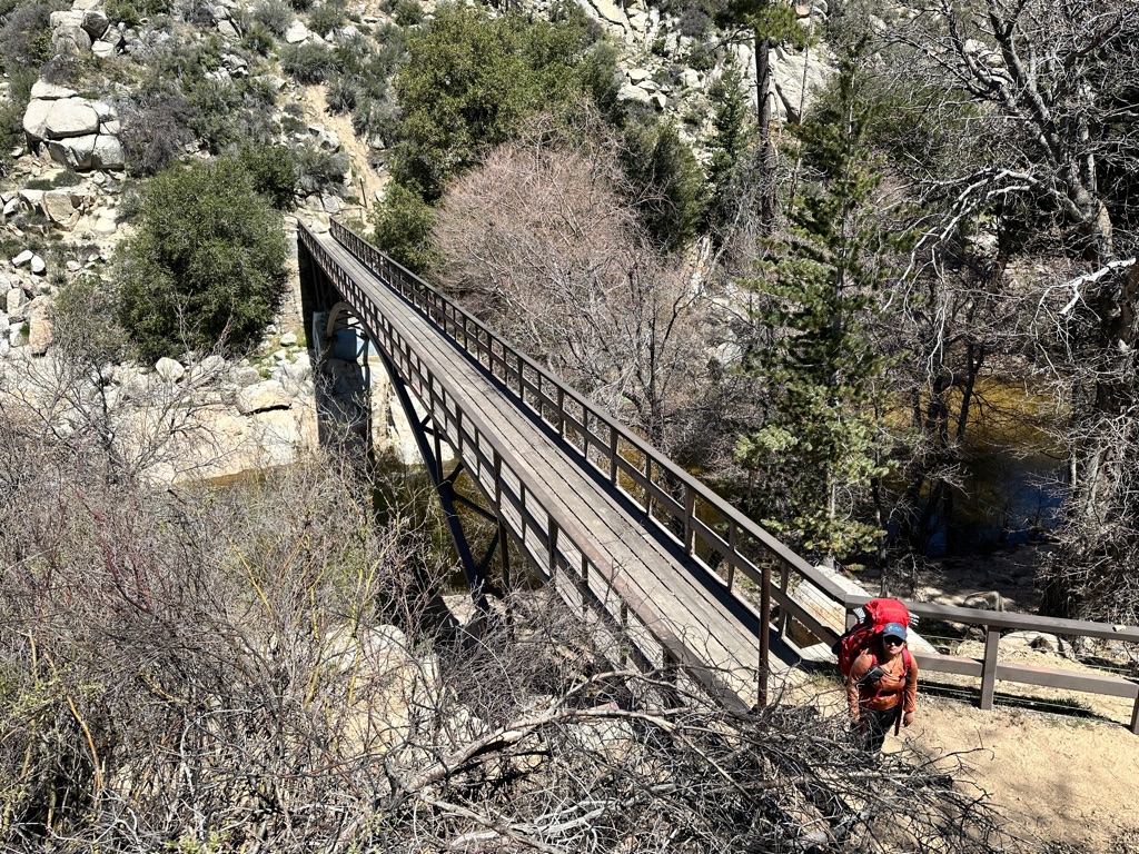
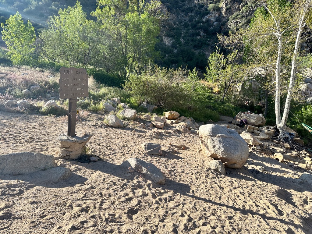
After 20 miles the day before my legs were more than tired and the 14.7 miles to the Deep Creek hot springs were looong. But we got to soak in the hot spring pool in the evening.
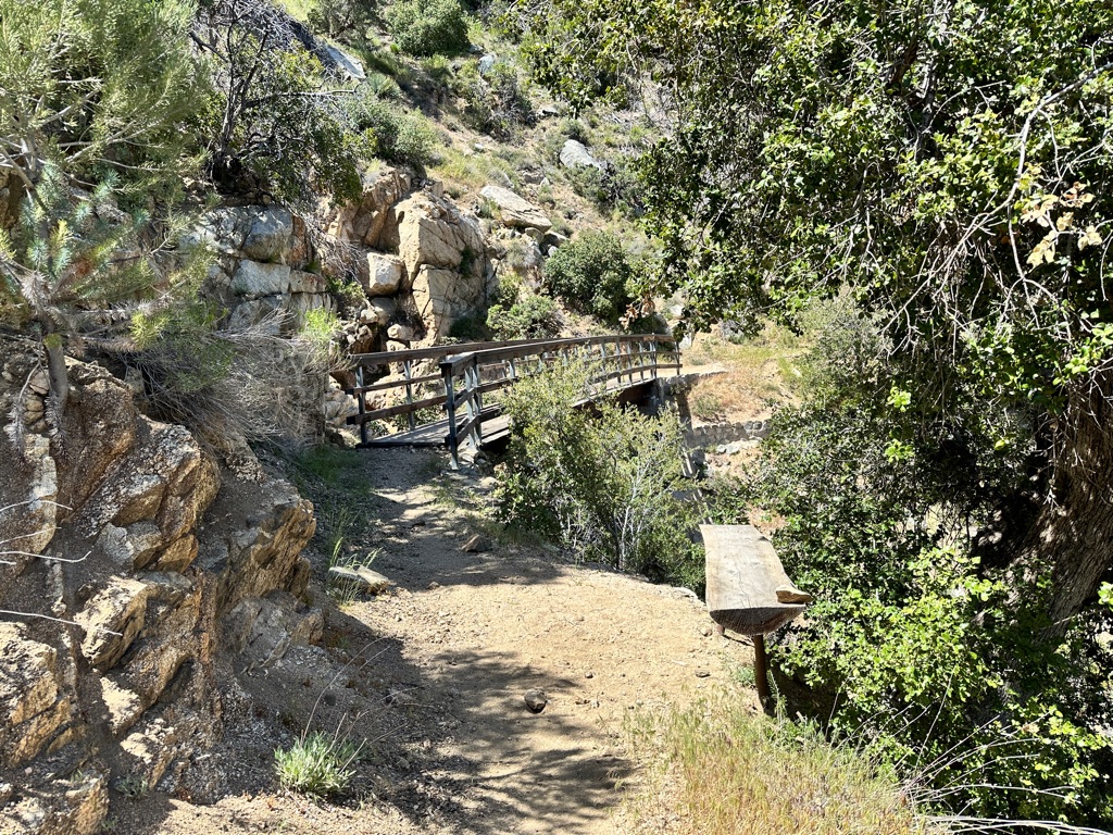
Deep Creek, as the name suggests has created a deep, canyon like valley and several bridges for hikers cross it.
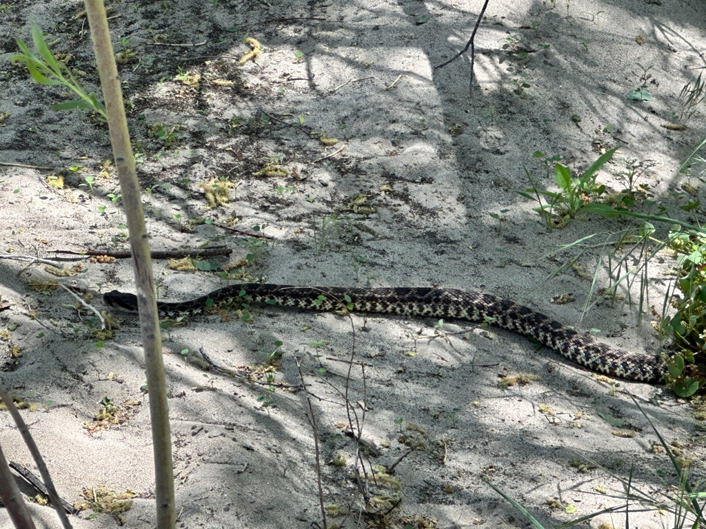
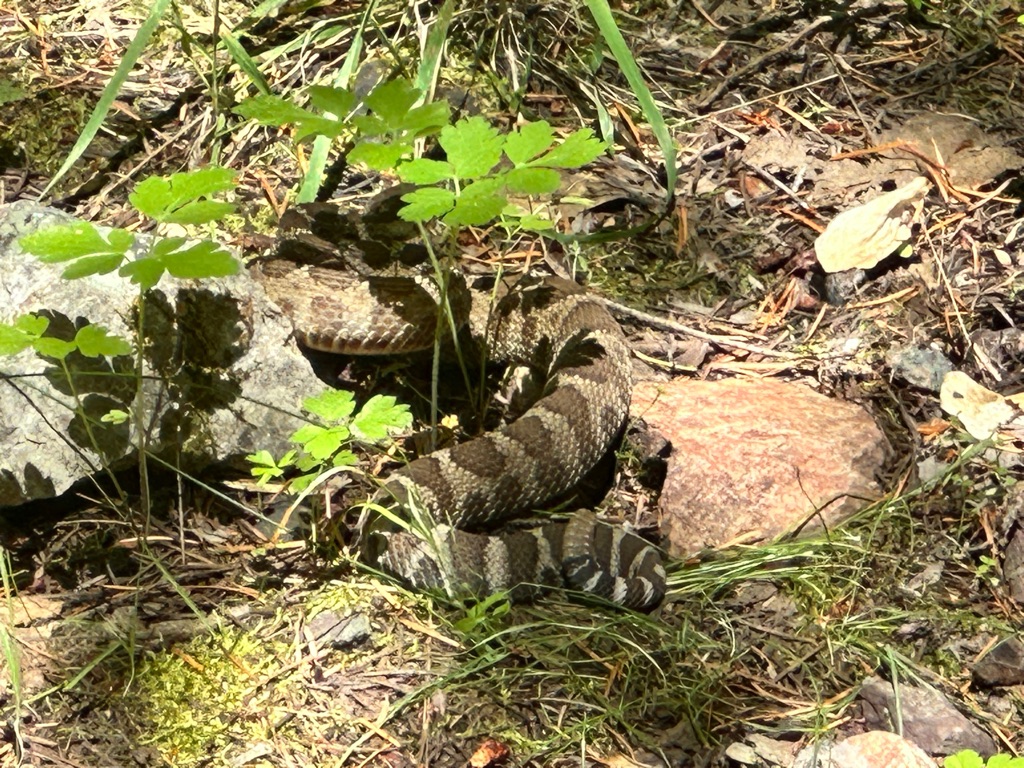
We also had our second encounter with a rattlesnake and I learned that the are very capable swimmers. I didn’t know that and neither did the folks on the other side of the creek crossing, when the snake swam over to them and even slid over one of their backpacks. Nobody got hurt, but it was quite impressive to see the the snake casually and quickly cross the creek and a group of hikers in the middle of putting their shoes back on scattering in all directions.
300 miles, we are making progress!
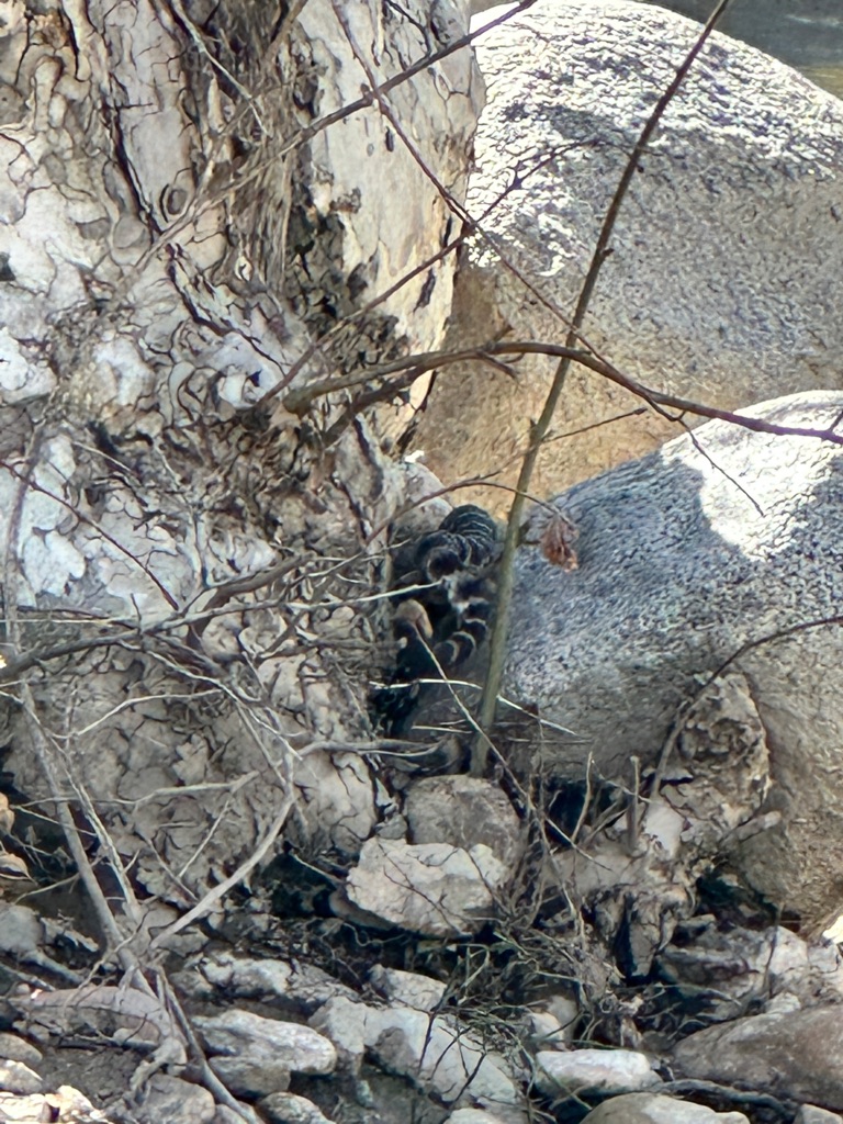
The rattle is quite easy to recognize. I didn’t get a video of the swimming snake unfortunately.
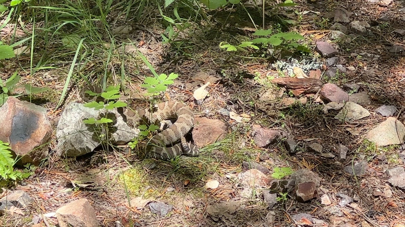
This is probably as good as any other day to post some more snake pictures from May and June. There were more rattlesnakes, California racers and presumably several types of gopher snakes. Racers and gopher snakes are non venomous, but we kept our distance from all of them, since we are no snake experts. Rattlesnakes though are easy to identify. The rattle is very distinctive and often you hear them first, because they let you know not to come too close by rattling.
Another rattlesnake at another river crossing.
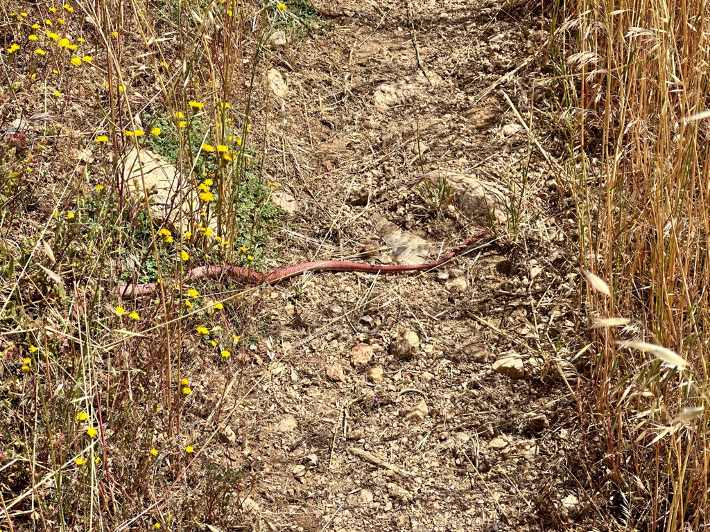
Presumably a red gopher snake.
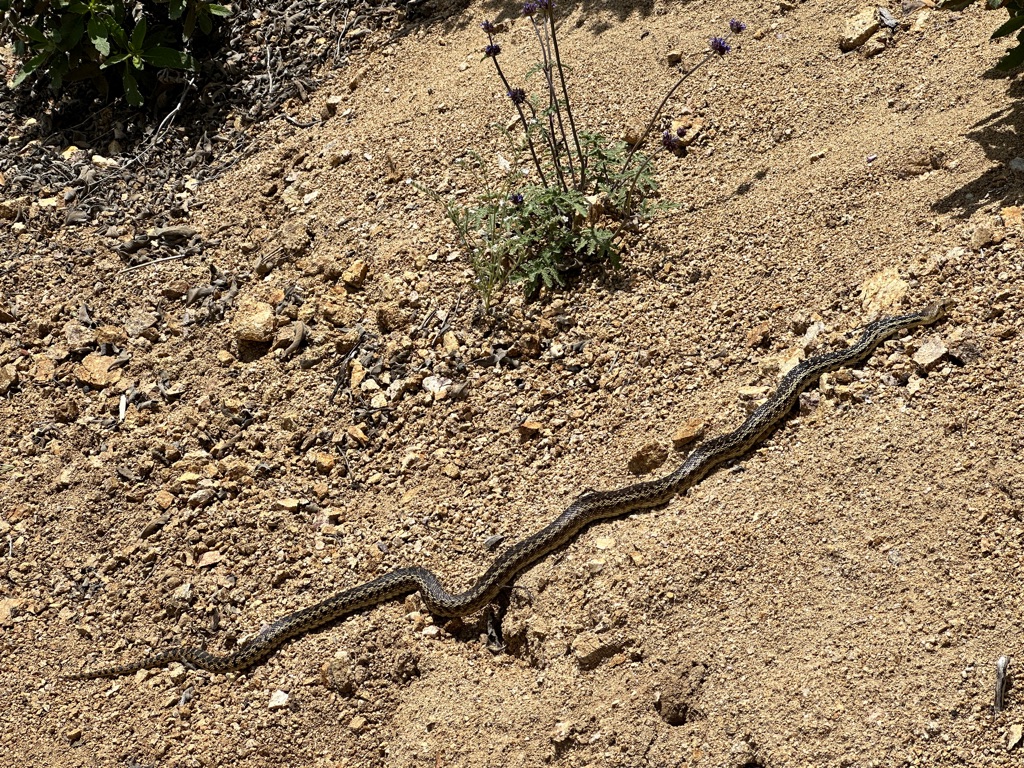
No rattle on the tail, so very likely a gopher snake.
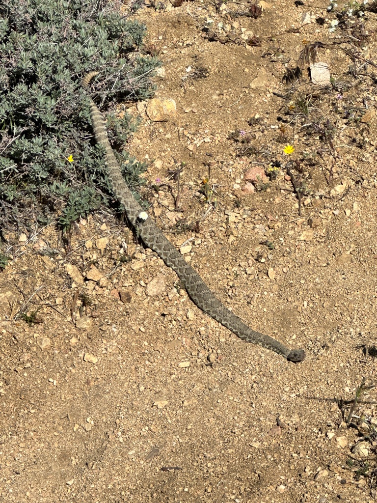
This one has a rattle…
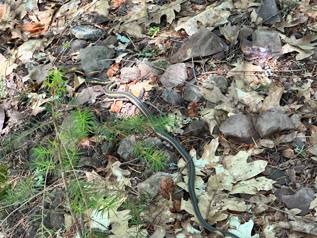
Racer snake.
Another rattler.
You can see the tongue move, but no rattling in this video unfortunately.
![]()
![]()
![]()
![]()
![]()
![]()
OR
Copy the link to @CarstenN Journo below
![]()
![]()
![]()
![]()
![]()
![]()
OR
Copy the link to @CarstenN Journo below
![]()
![]()
![]()
![]()
![]()
![]()
OR
Copy the link to @CarstenN Journo below
![]()
![]()
![]()
![]()
![]()
![]()
OR
Copy the link to @CarstenN Journo below
![]()
![]()
![]()
![]()
![]()
![]()
OR
Copy the link to @CarstenN Journo below
![]()
![]()
![]()
![]()
![]()
![]()
OR
Copy the link to @CarstenN Journo below