No entries have been mapped yet.
1
Charles Sauriol Conservation Area

Charles Sauriol Conservation area in Toronto

A brief stop before going climbing. Such a delight! Climbing, birds, blossoming trees, chipmunks, pond, and east Don river girls enjoyed it.

East Don river

Spot a cardinal! Kyra with a ‘metal detector’. Eden chasing the bird.

Spot a chipmunk!

2
Presqu'ile Provincial Park

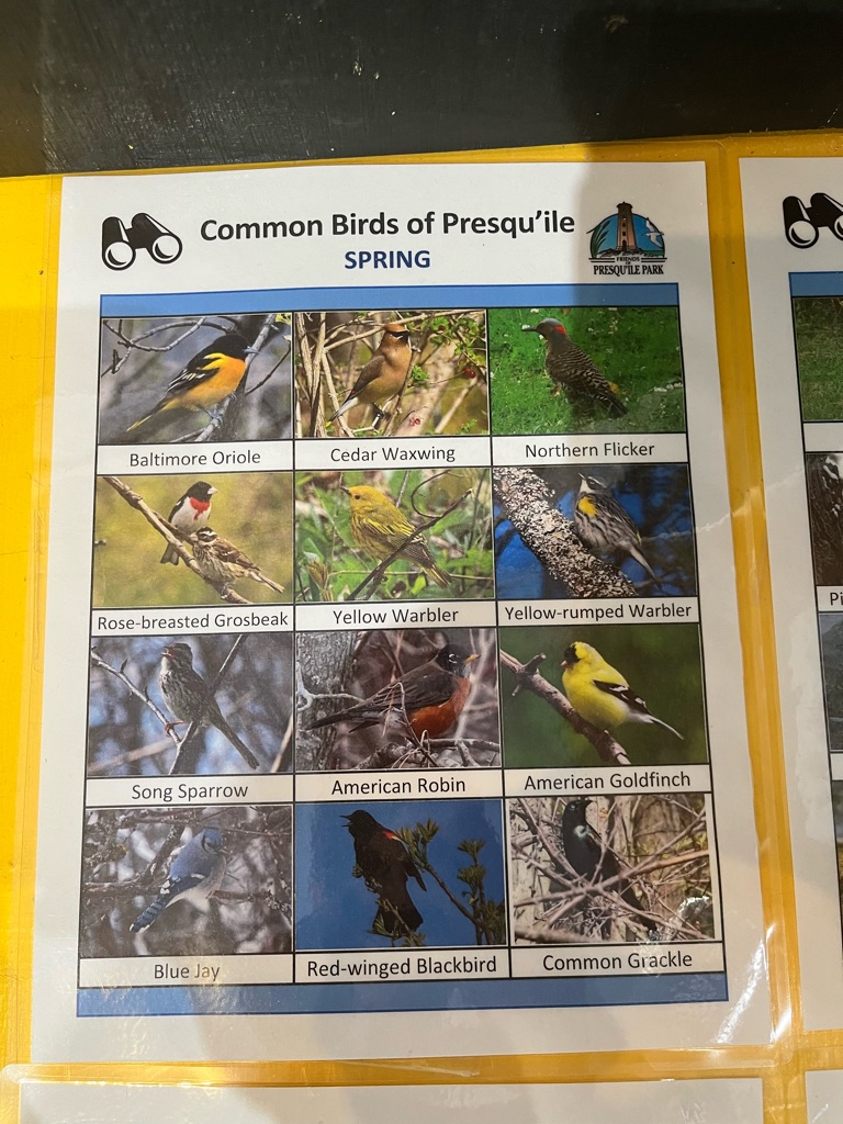
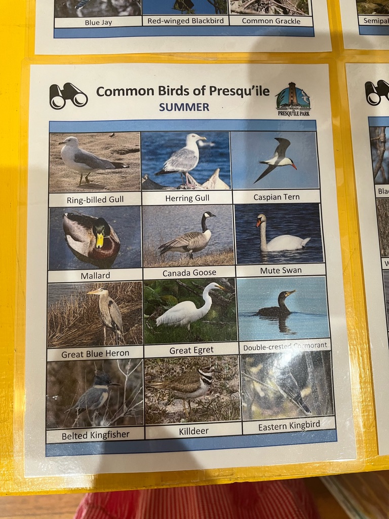
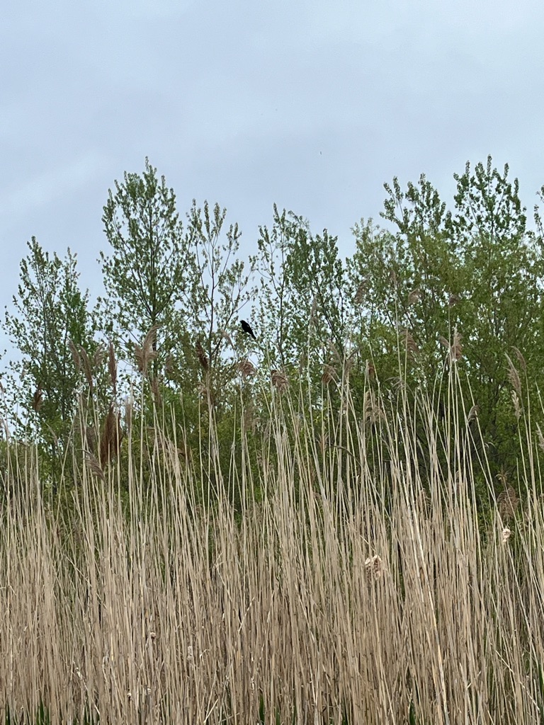
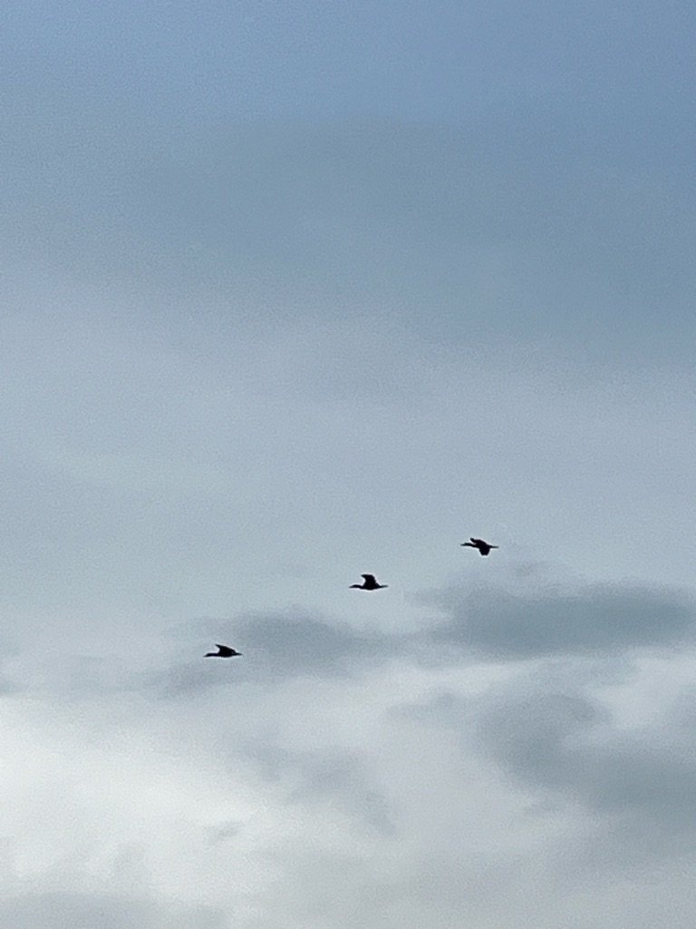
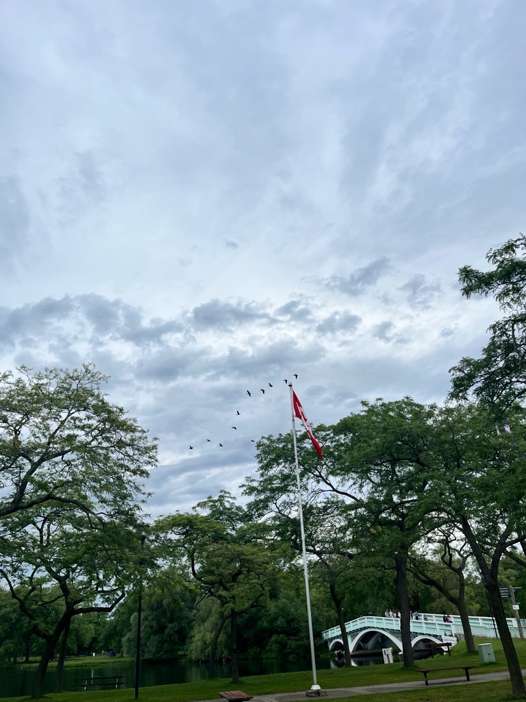
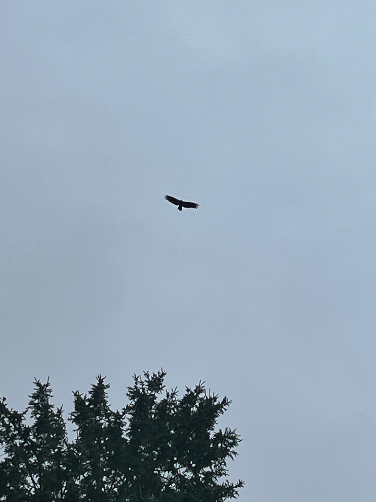
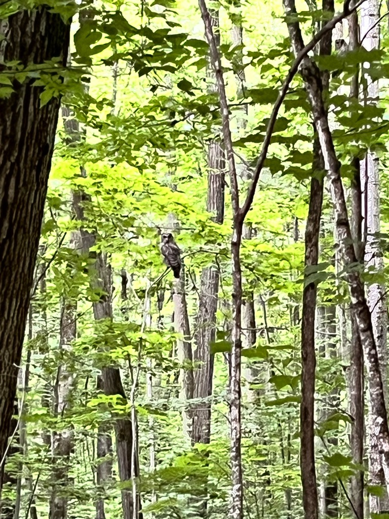
Spring birds migration at Presqu’ile National Park, twenty minutes east of Cobourg

And together!

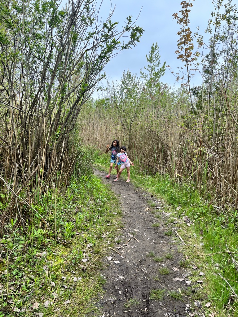
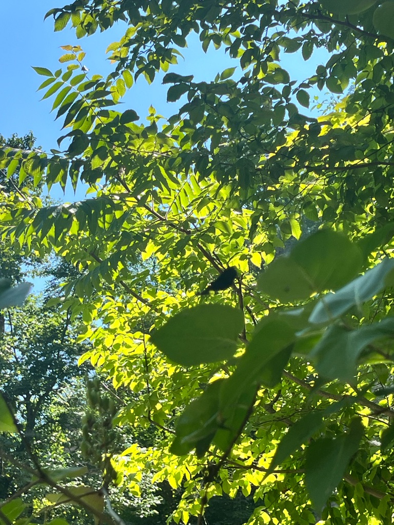
Owen point trai, finally arrived ! Just spotted a yellow warbler

And this cow!

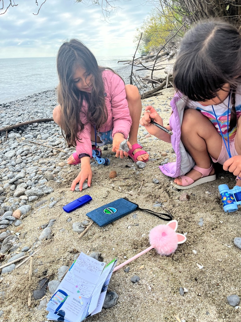
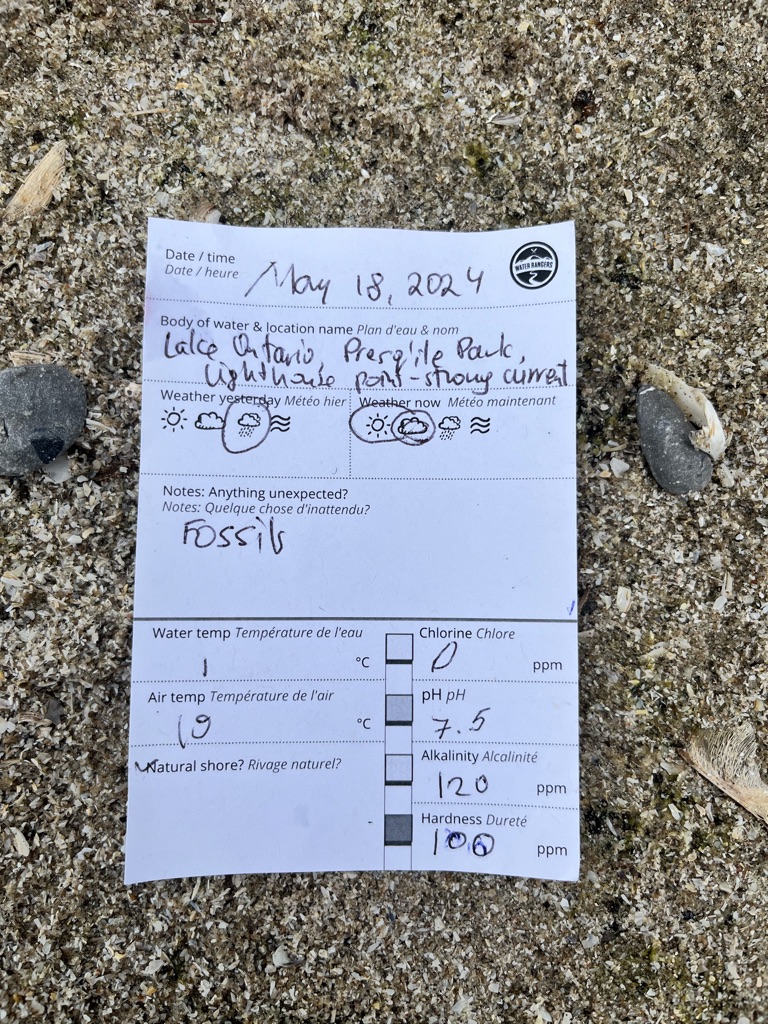
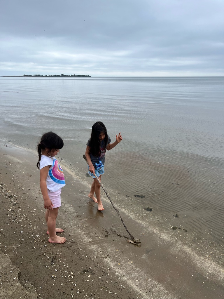
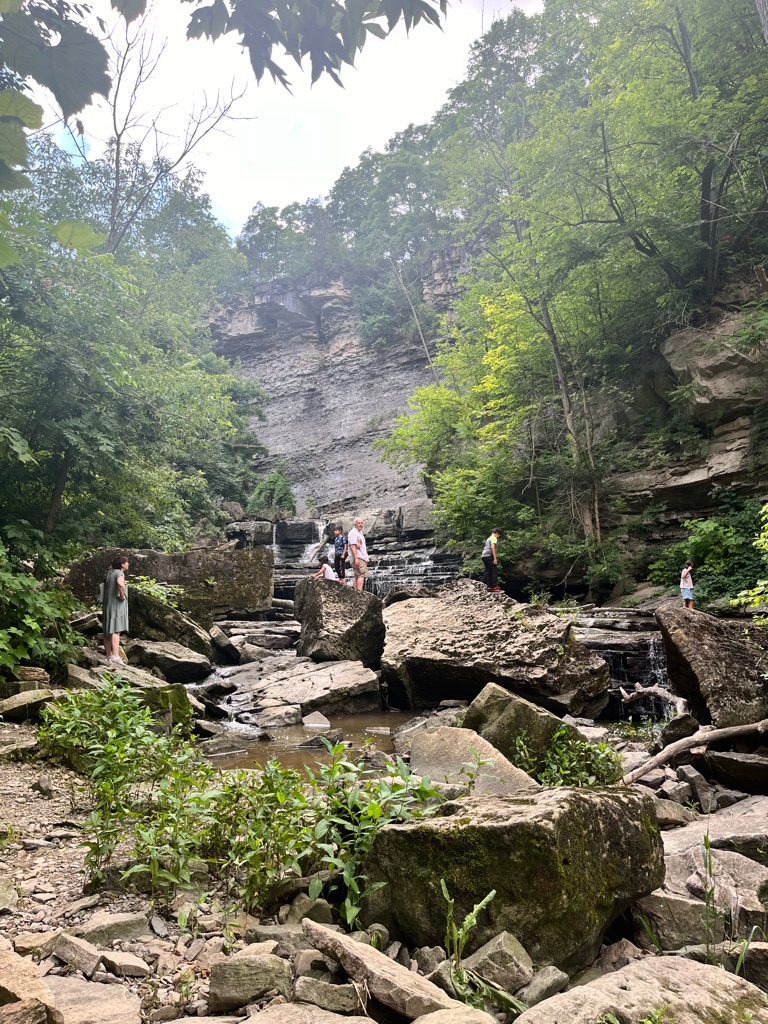
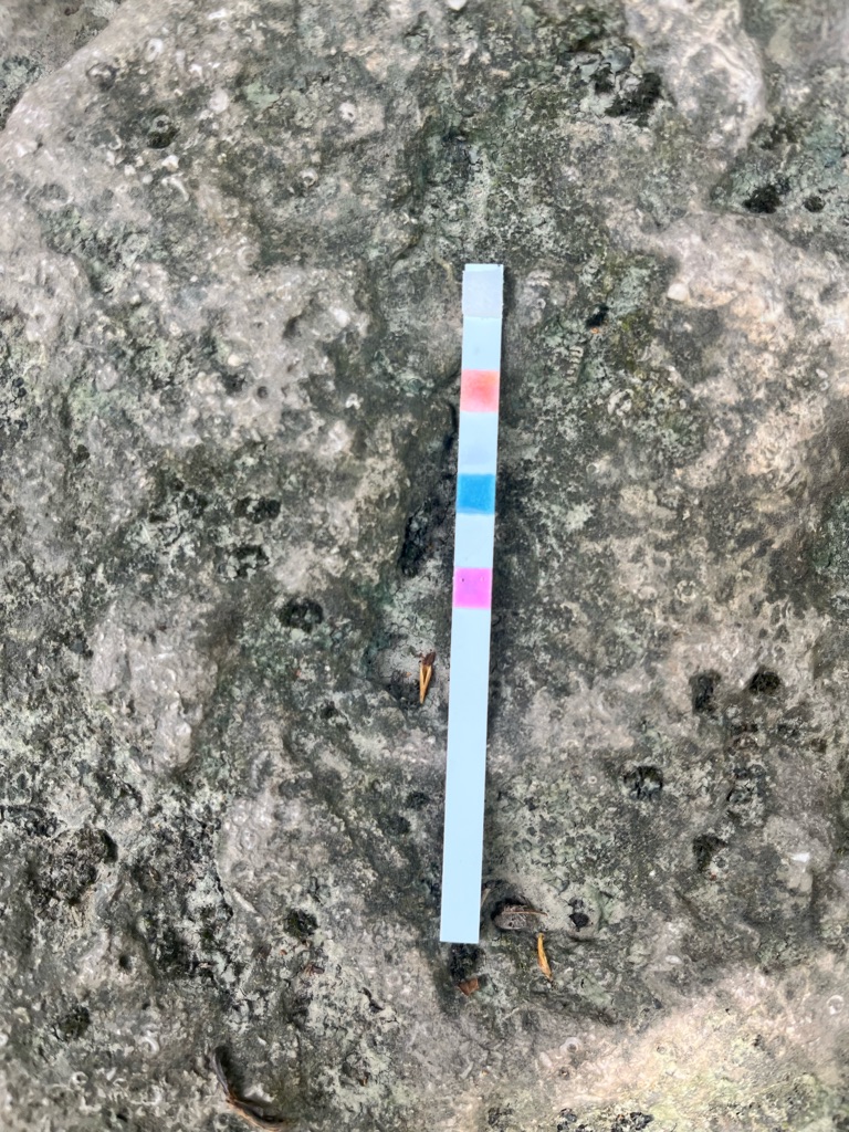
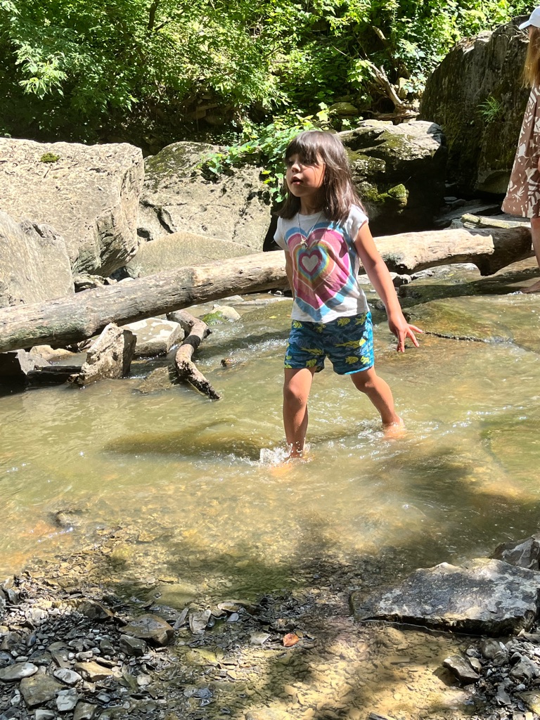
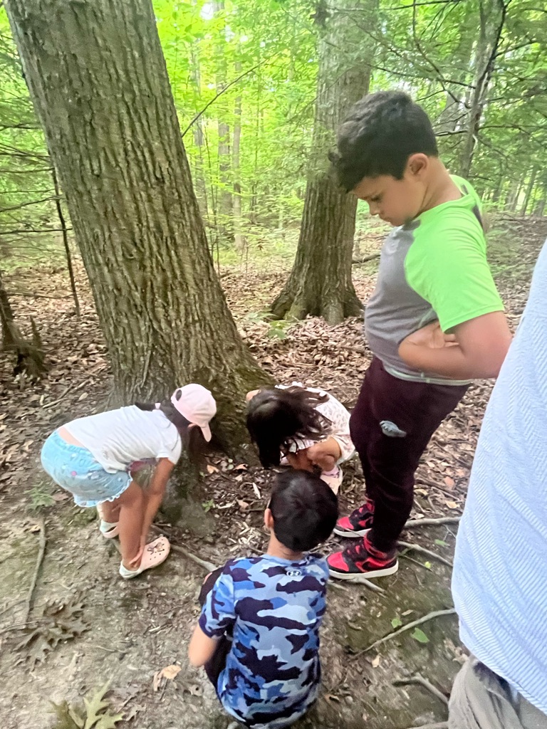
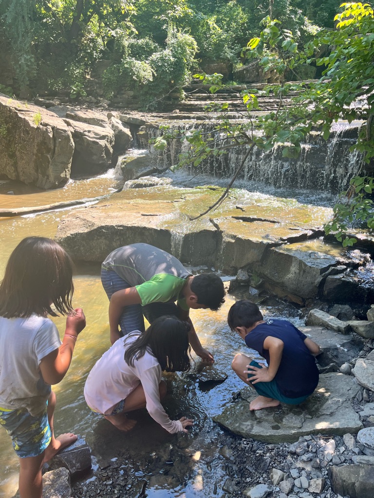
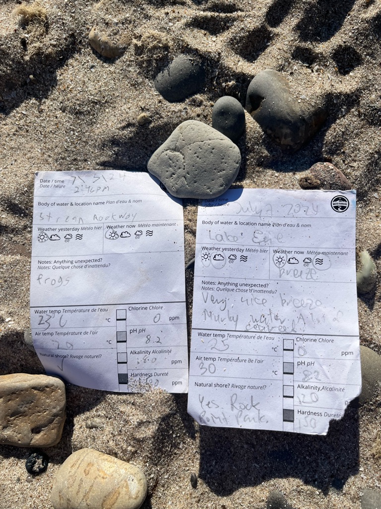
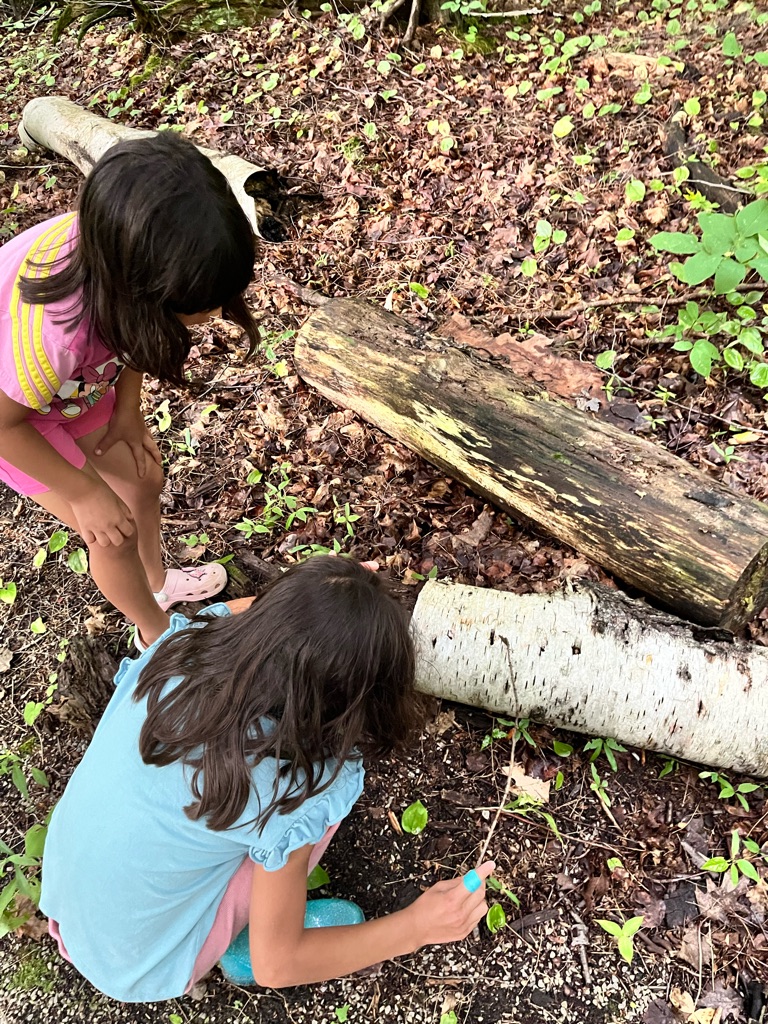
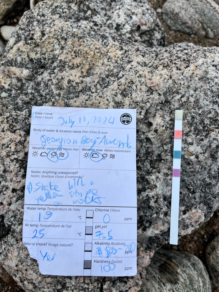
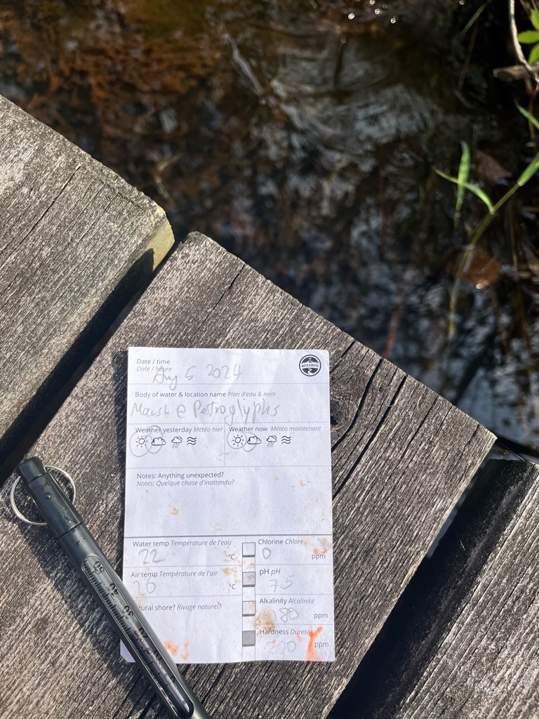
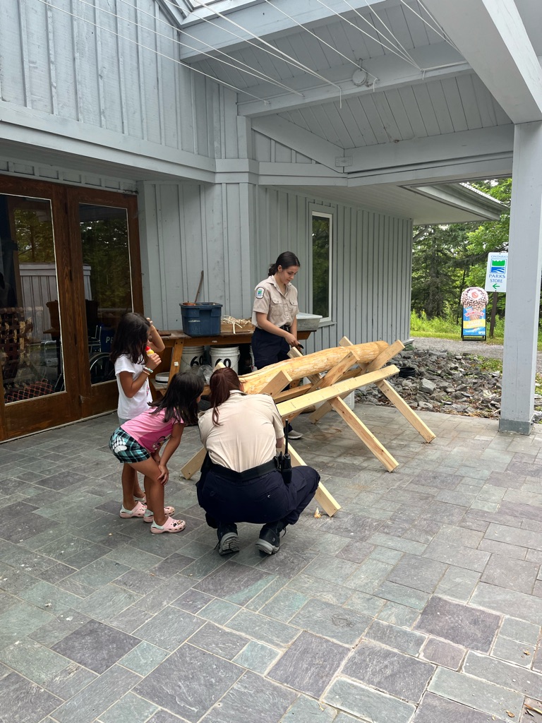
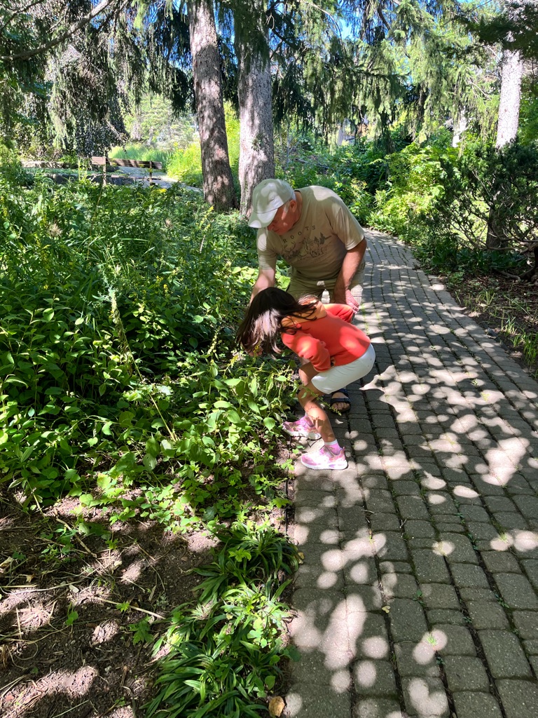
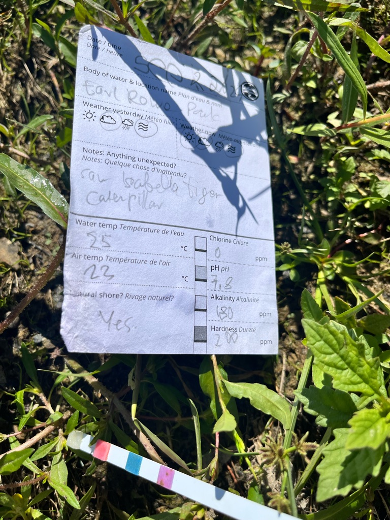
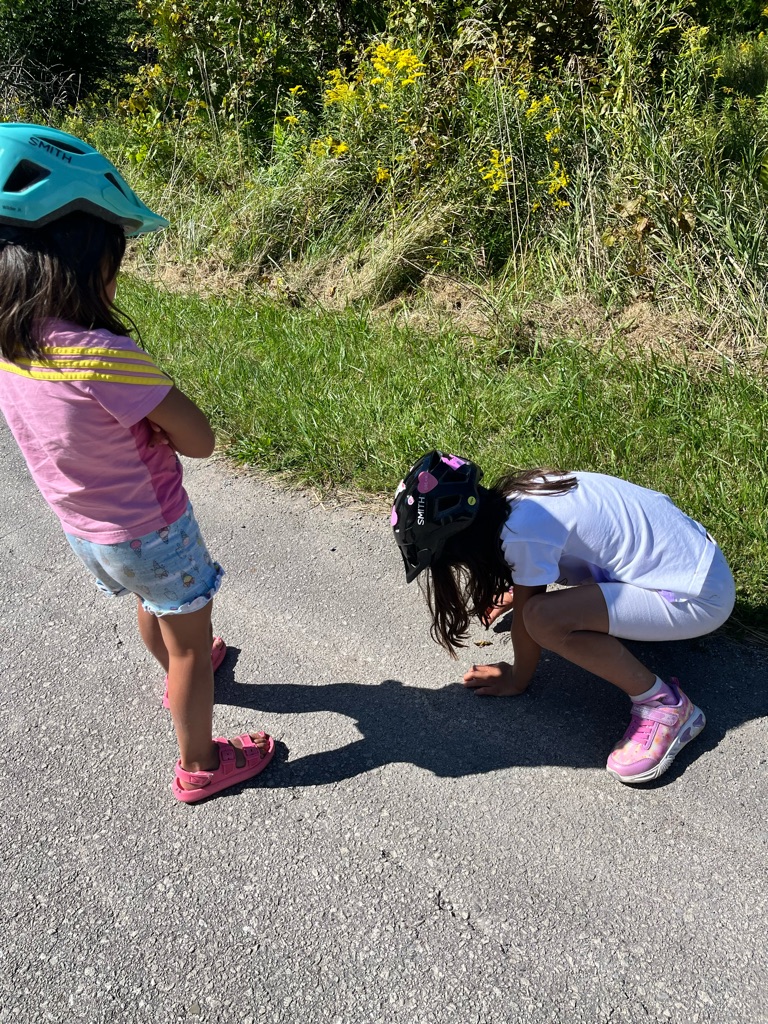
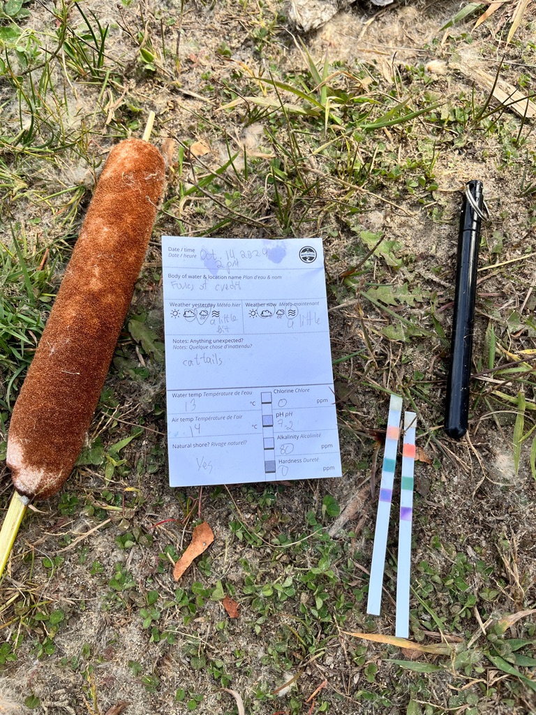
Measuring water quality . We may not have held the thermometer for too long to measure the temperature of water but it was fun . We also found fossils !

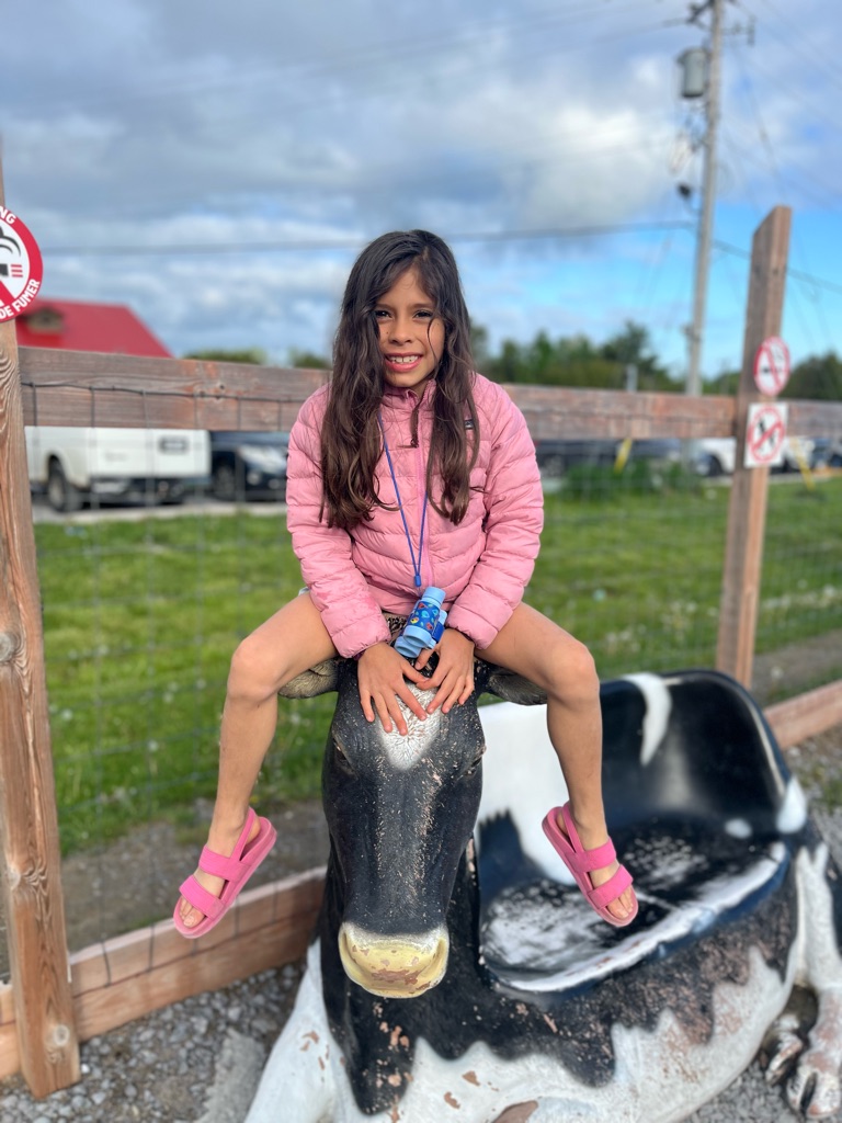
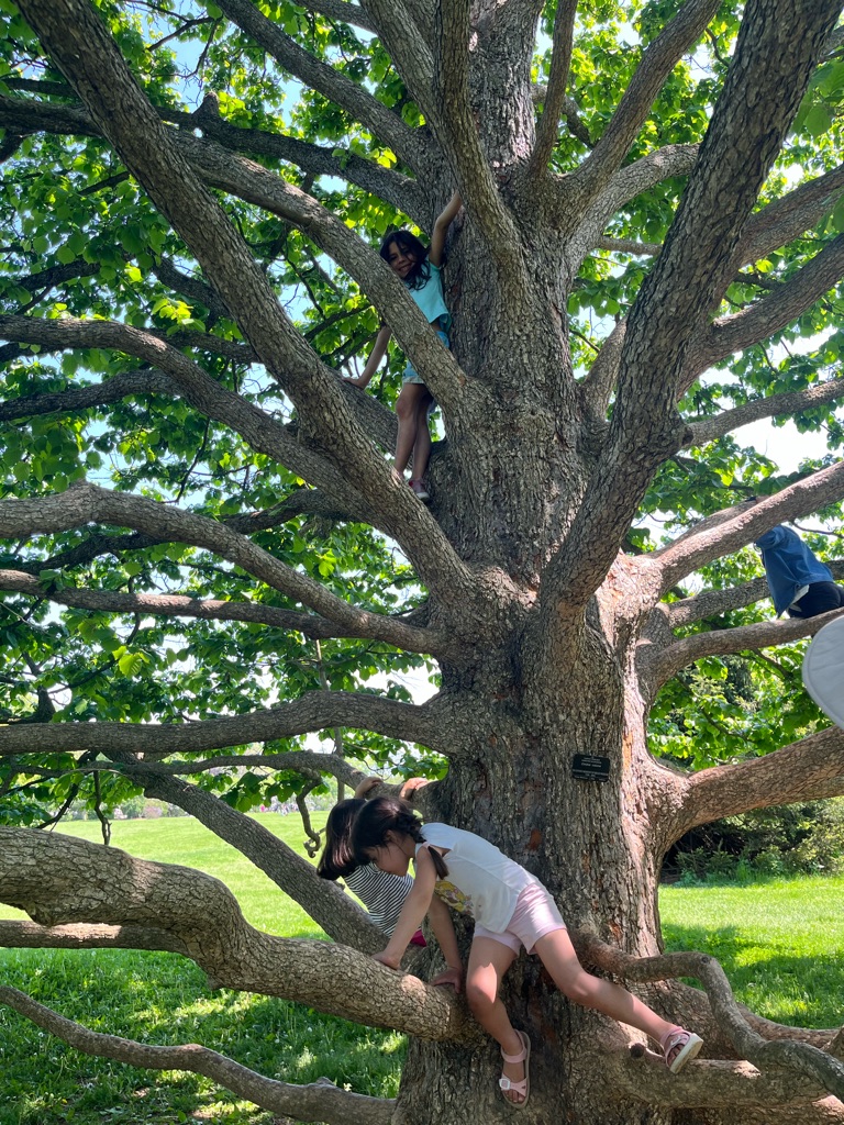
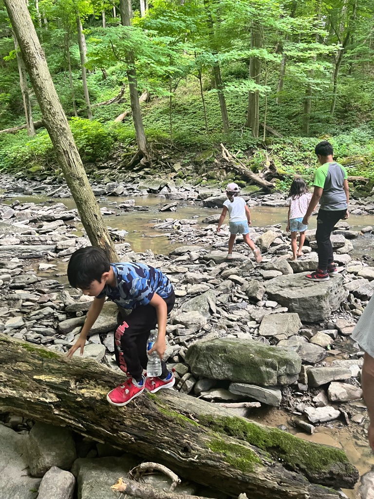
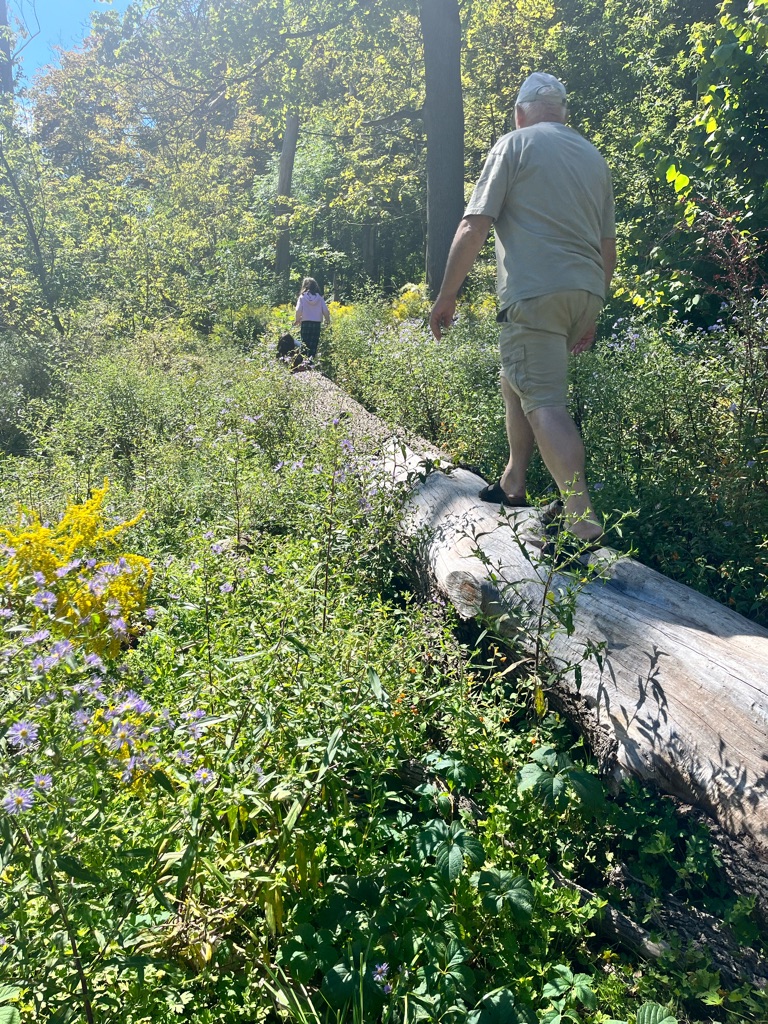
We like to climb . This cow - why not?

The measurements . Good quality , no clorine , the water is soft - no minerals

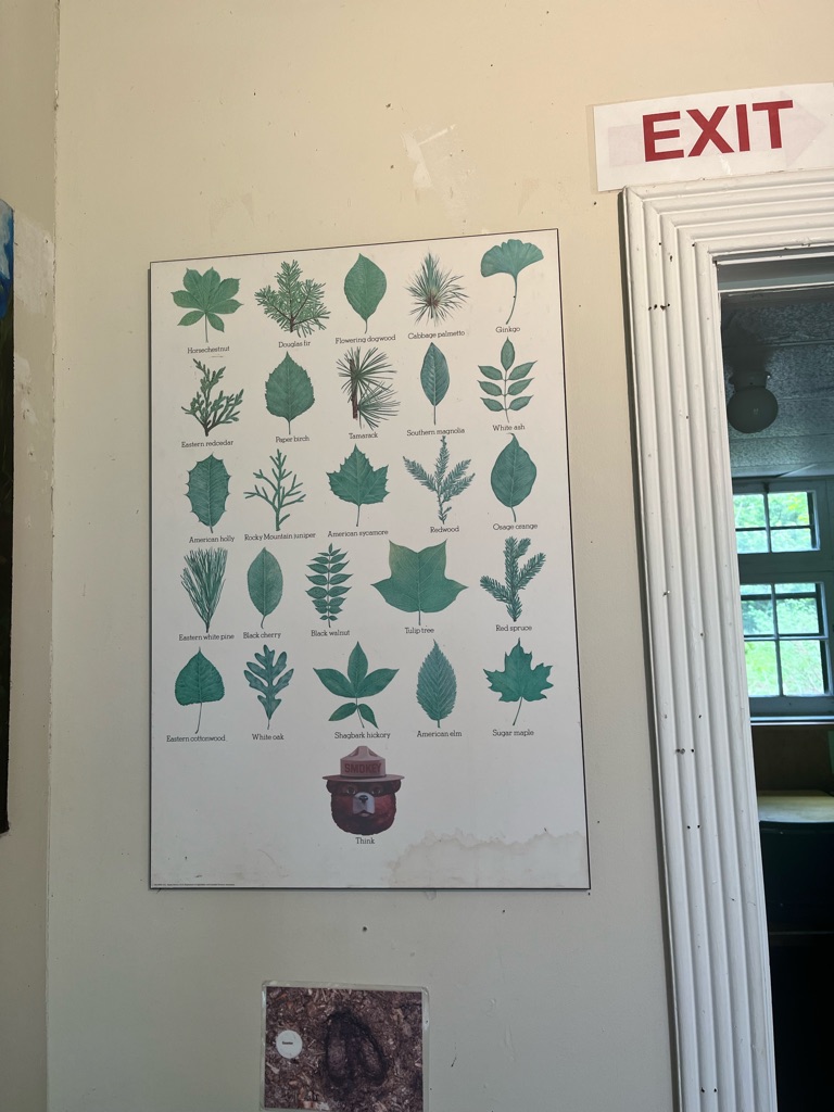
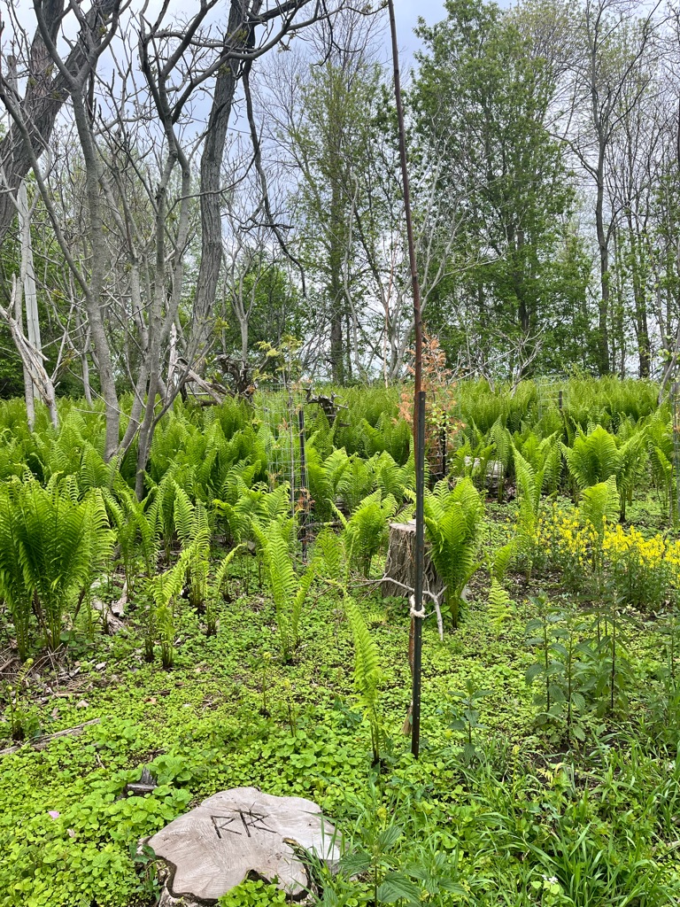
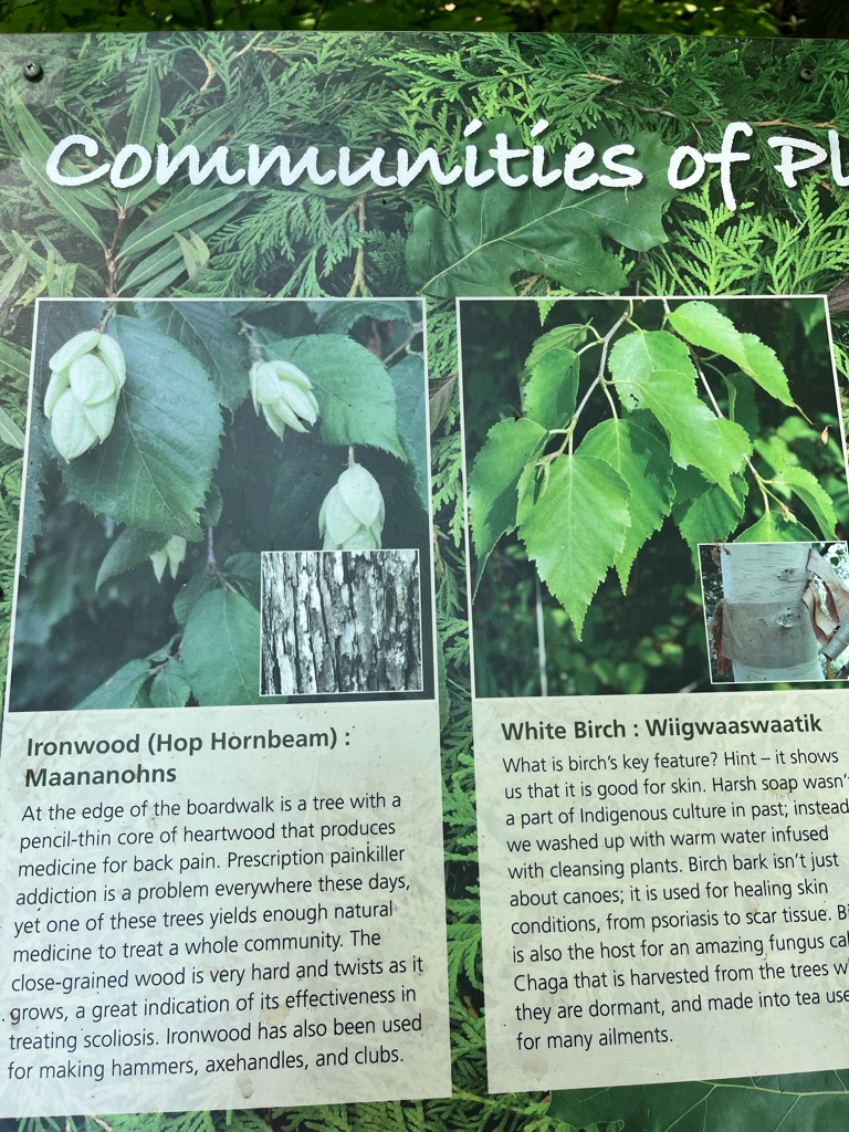
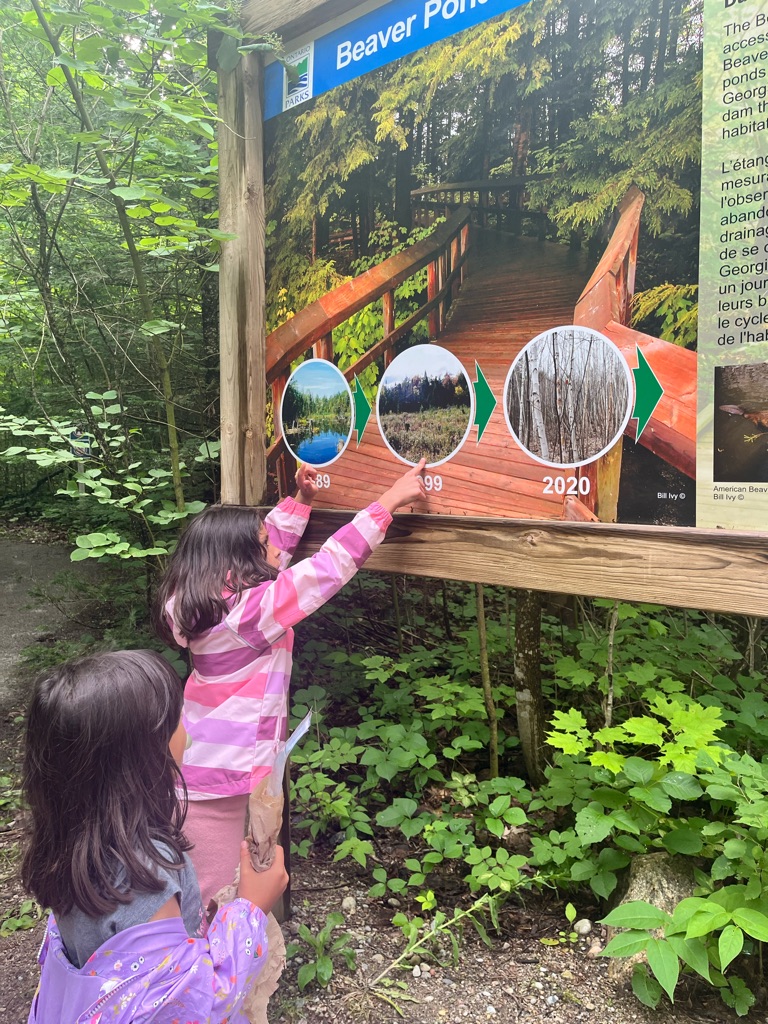
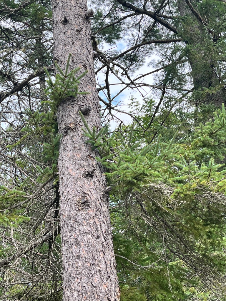
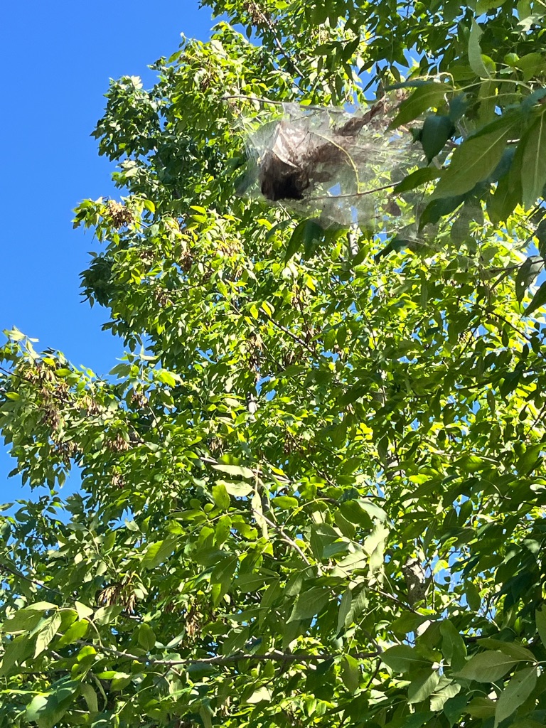
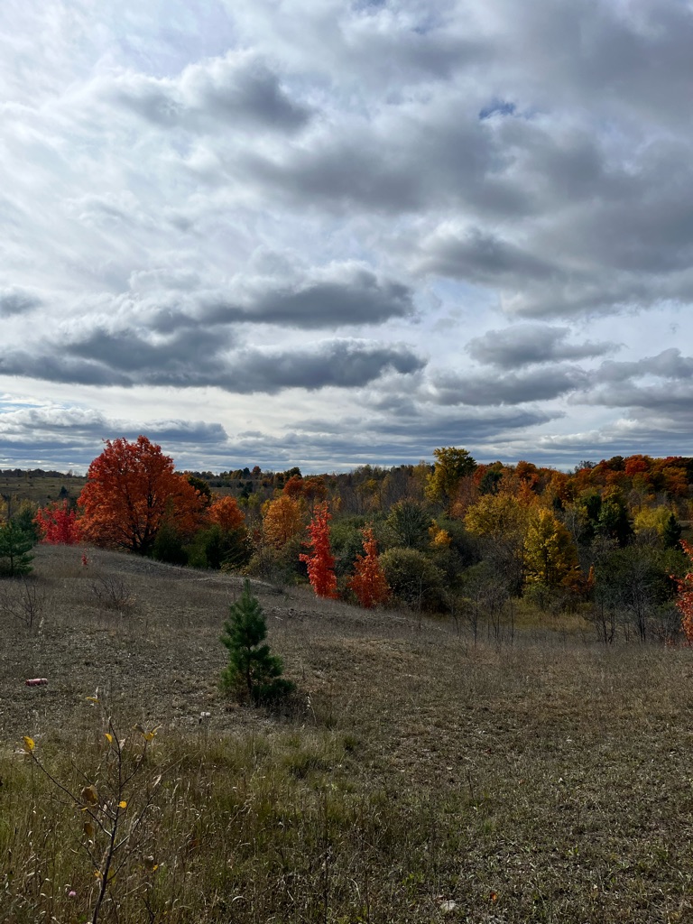
The forests at Presqu’ile are made up of 40%-60% ash trees.

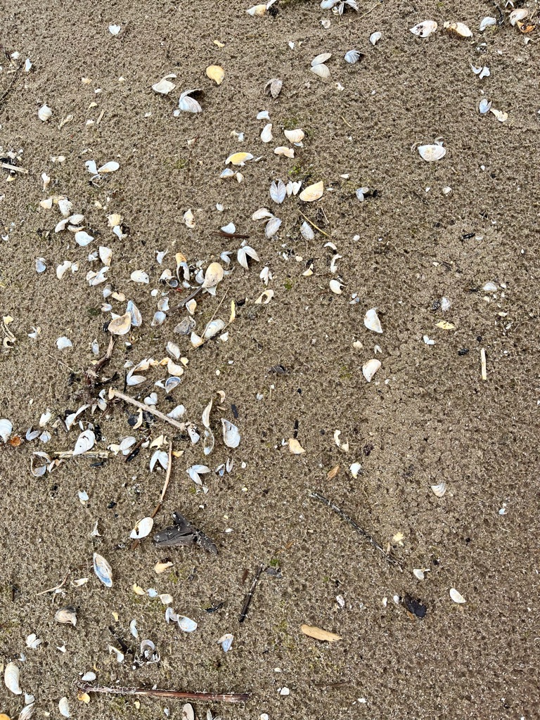
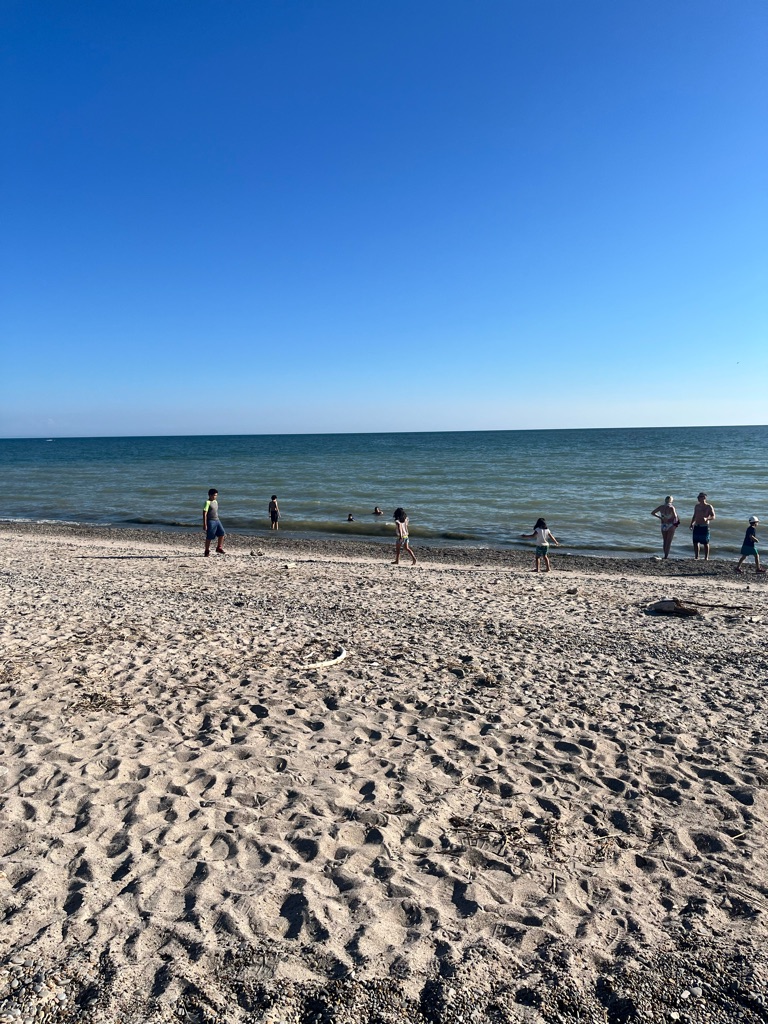
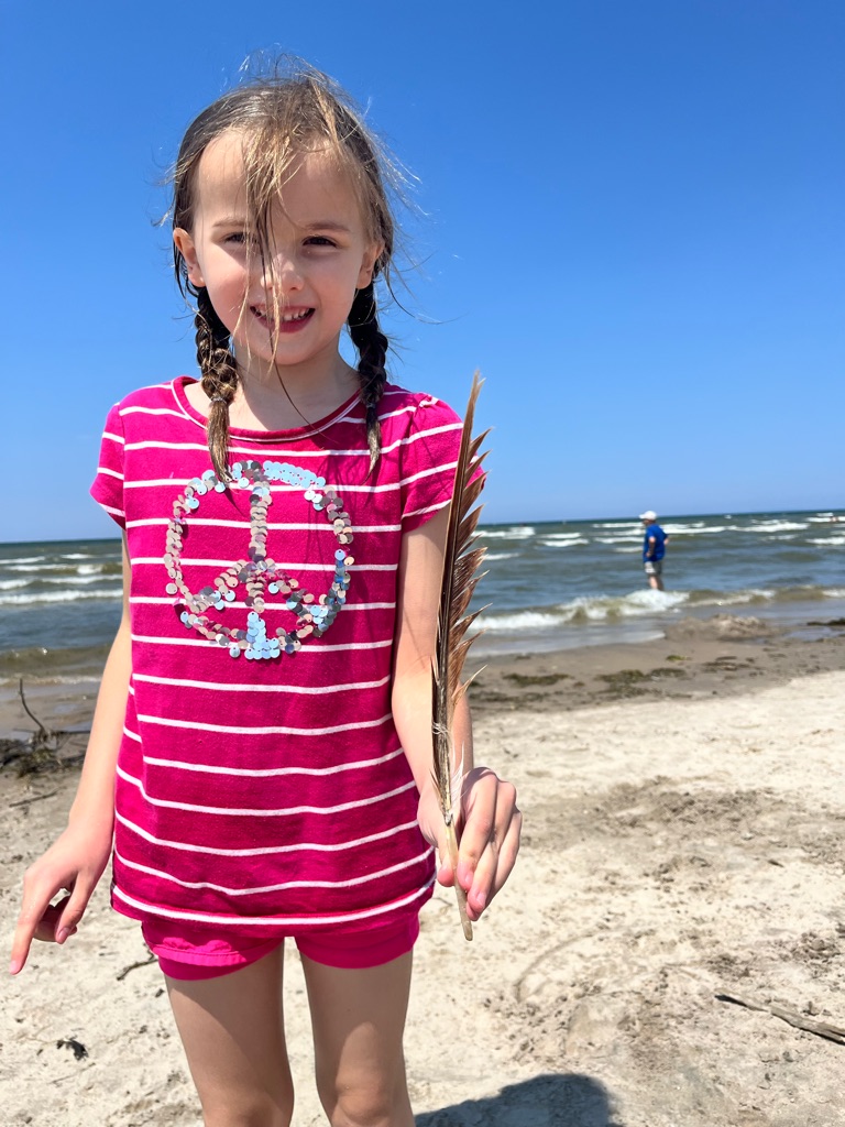
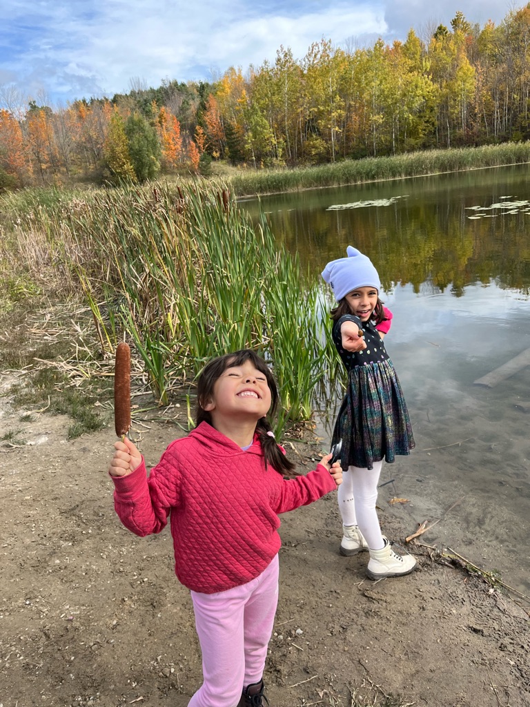
Lots of shells - it feels soft and good when you walk on it , but be careful ! ‘Poinky’ Eden said!

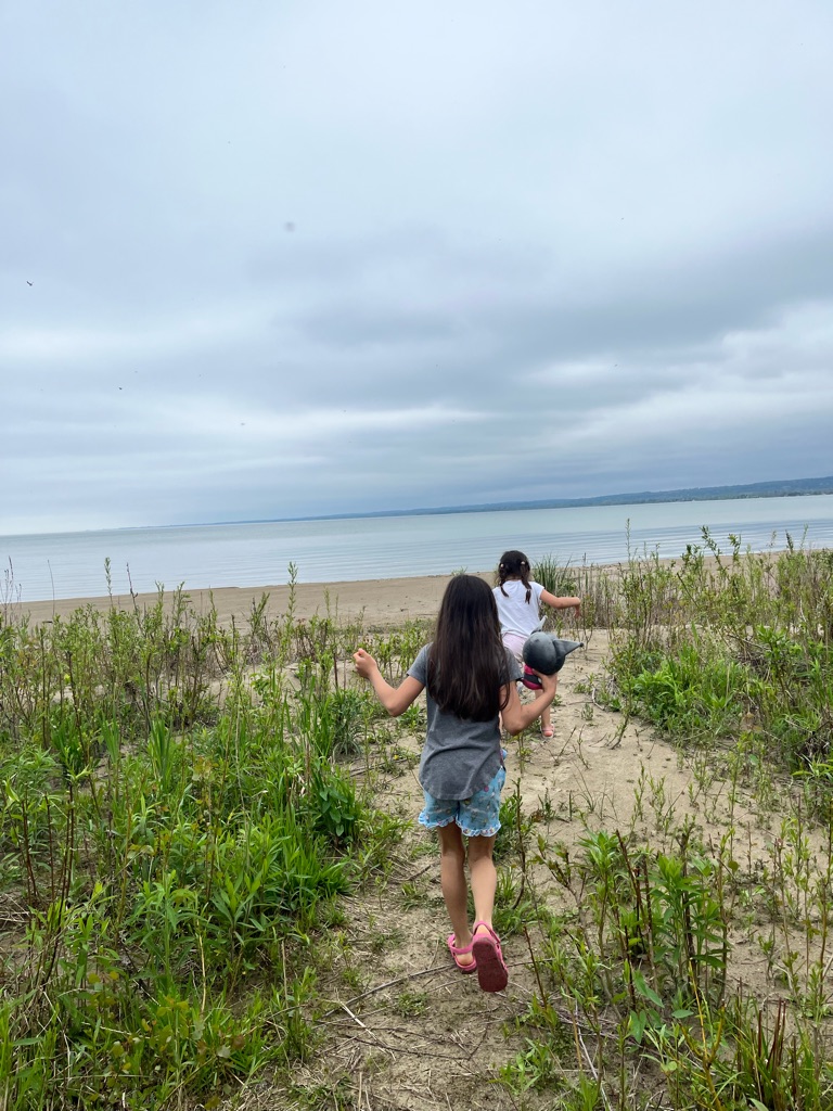
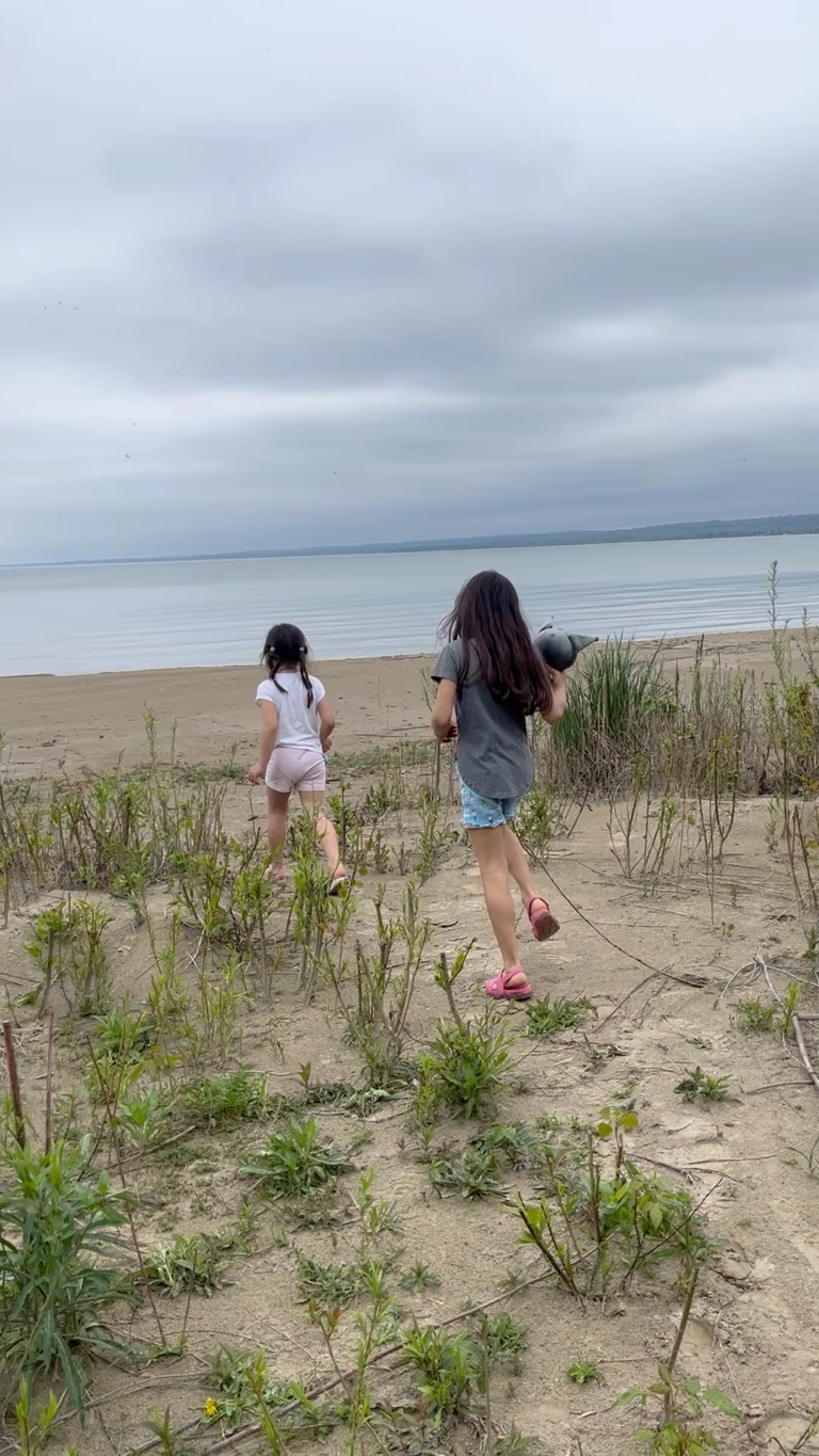
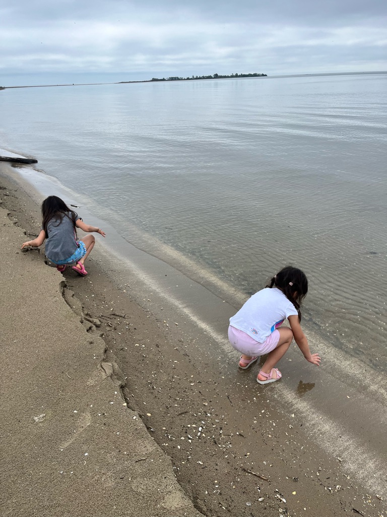
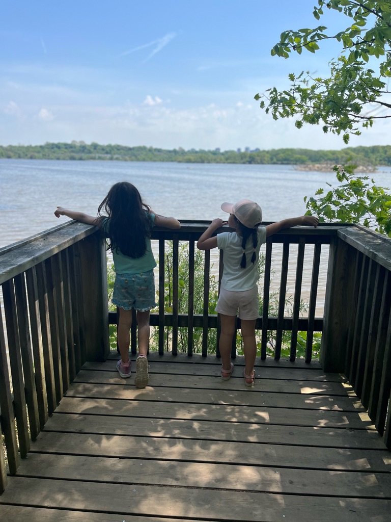
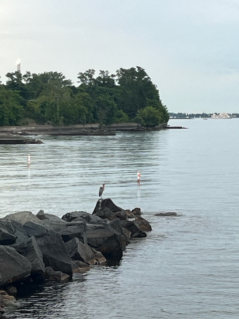
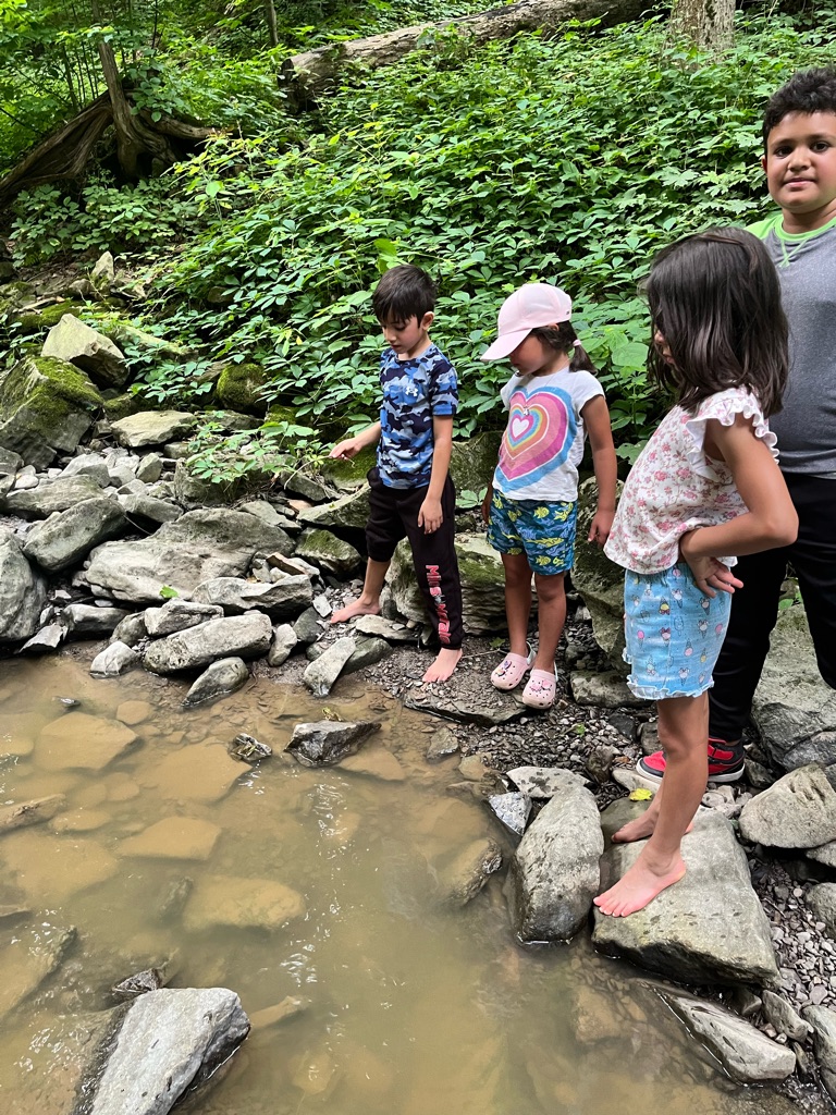
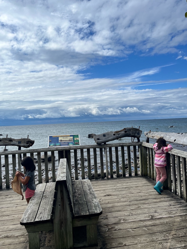
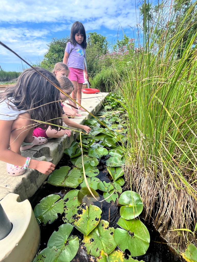
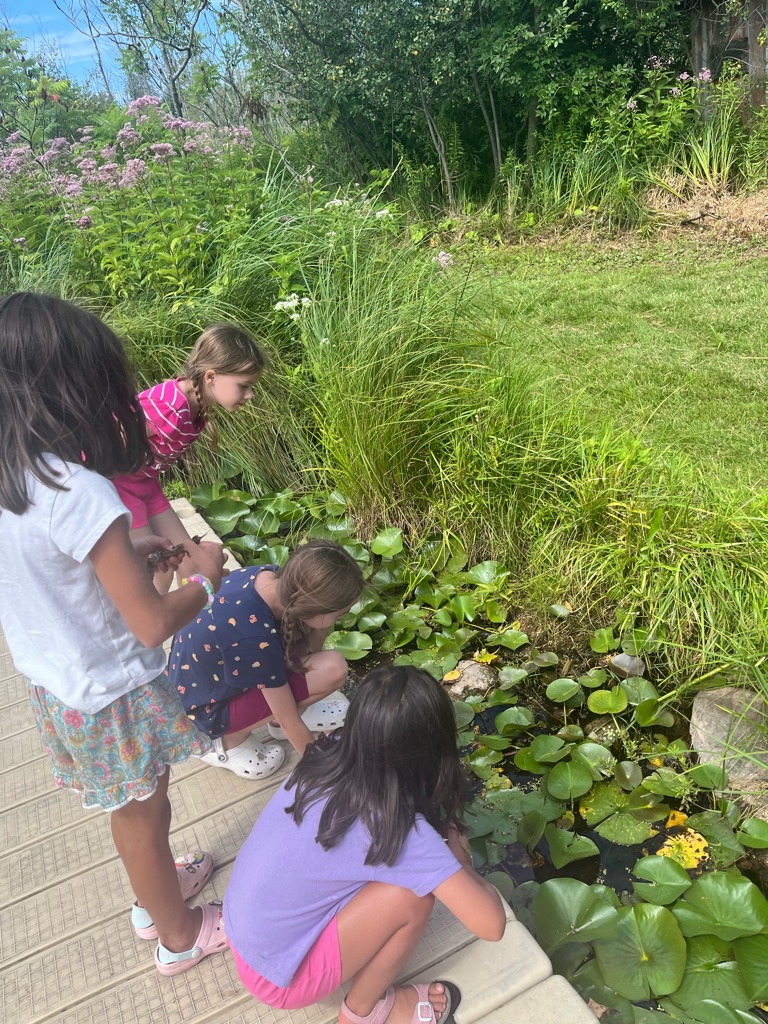
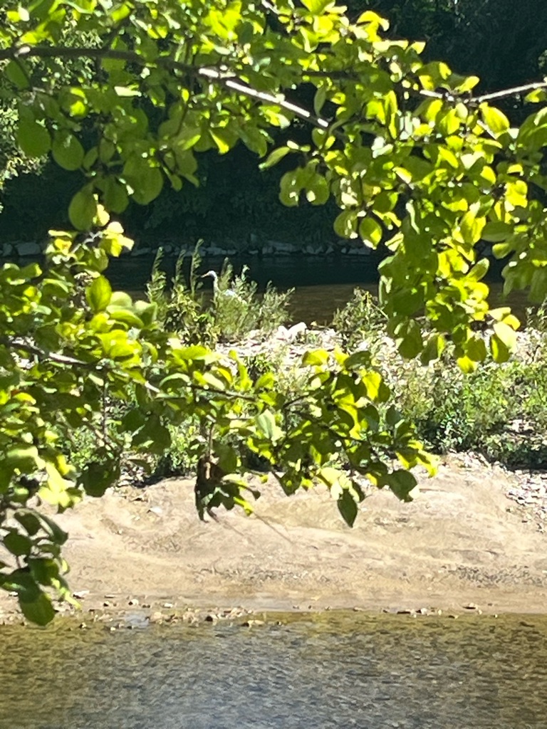
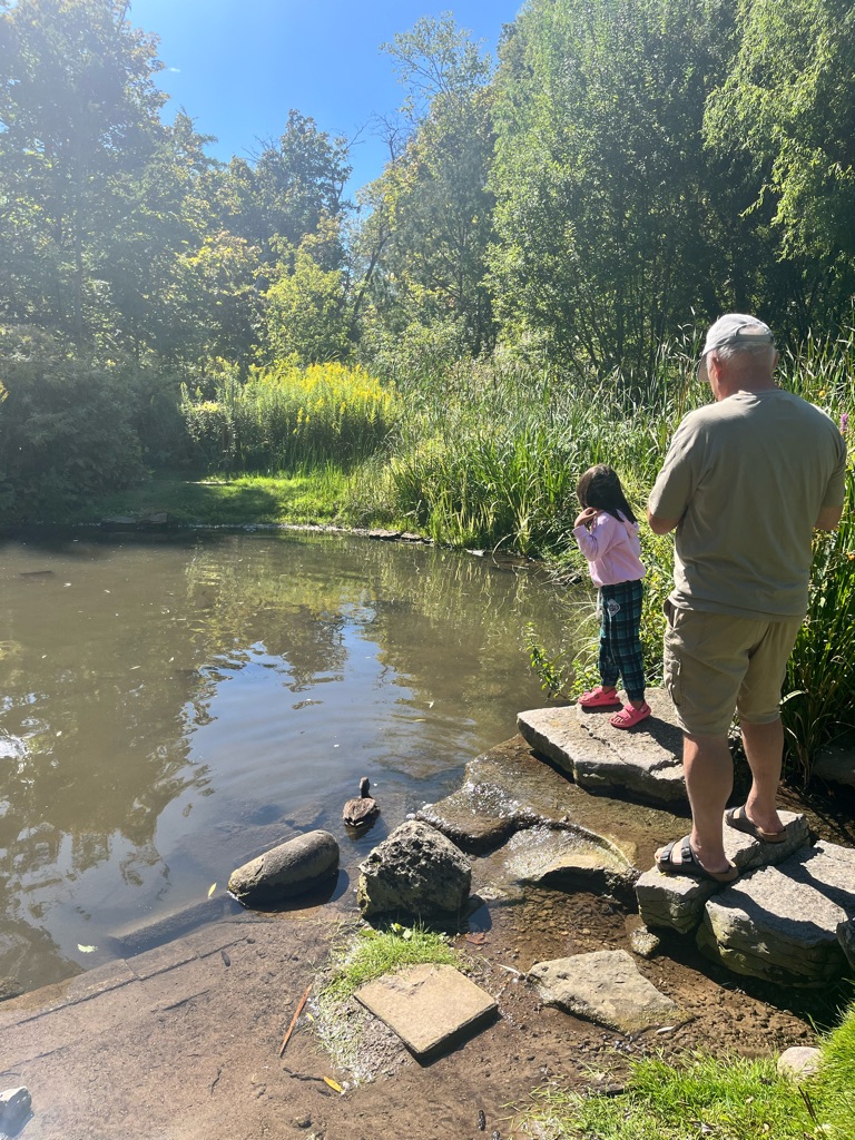
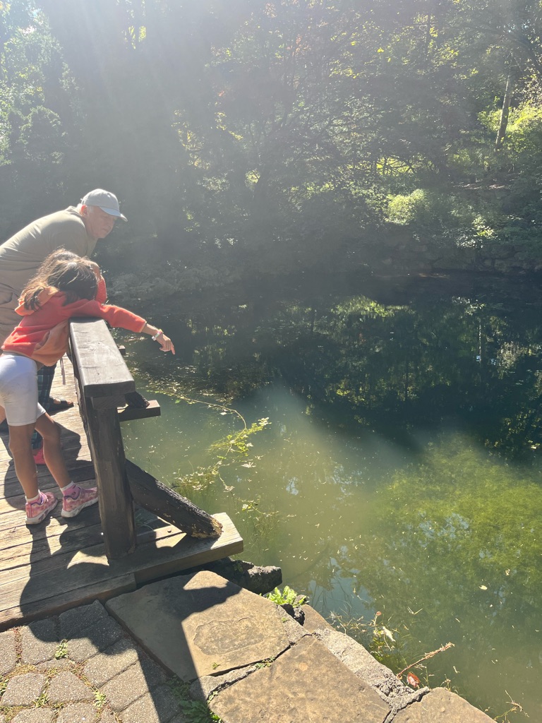
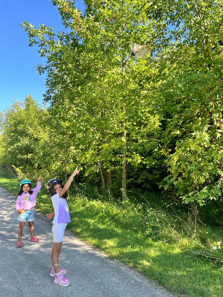
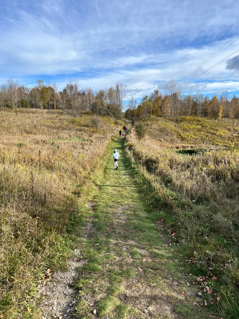
Forbidden zone ? Ah! Marshes and dunes . Lots of shorebirds that we didn’t even know

Spring is the birds migrating season . Best time to come us 6am! No predators , it is quiet

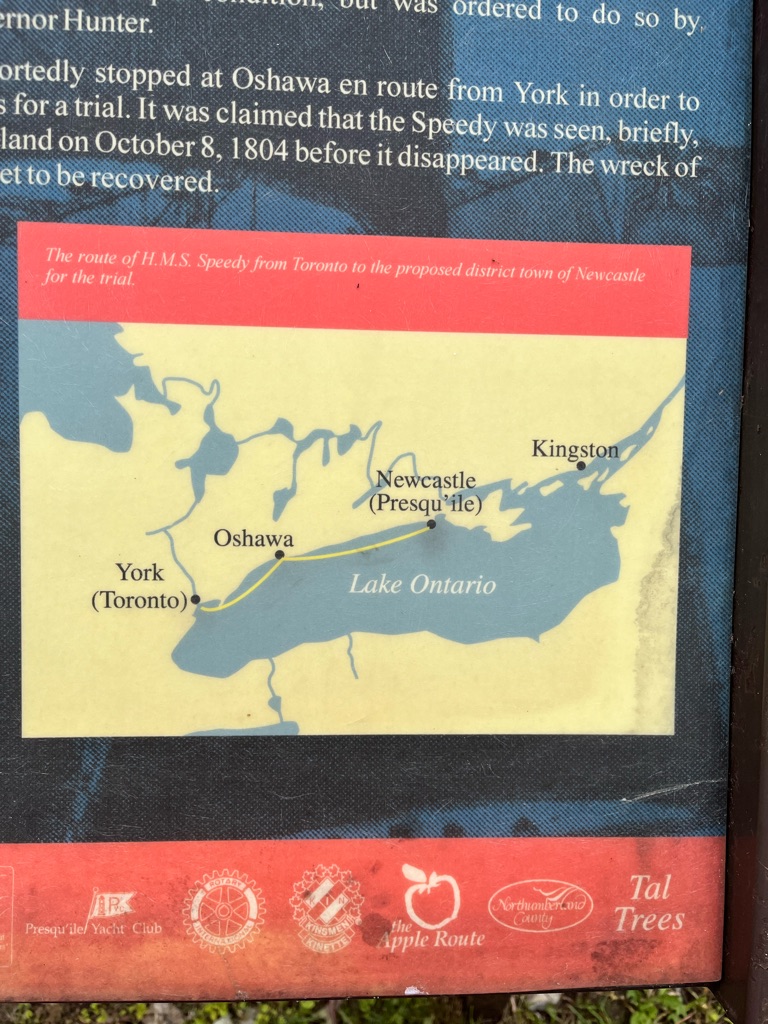
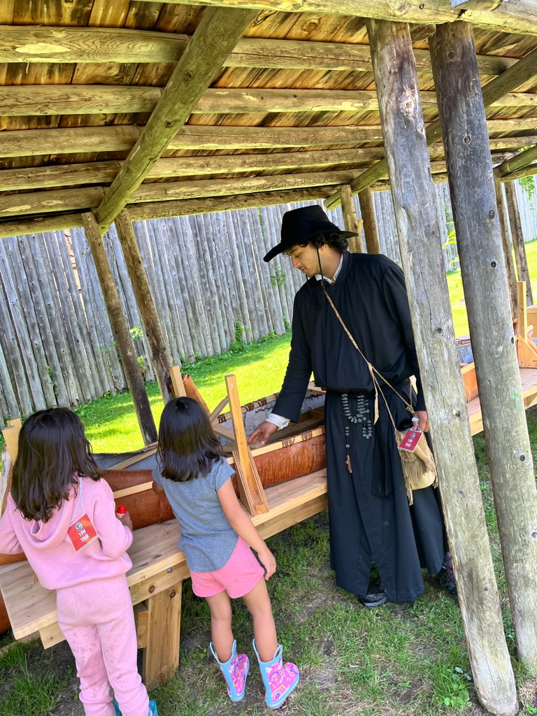
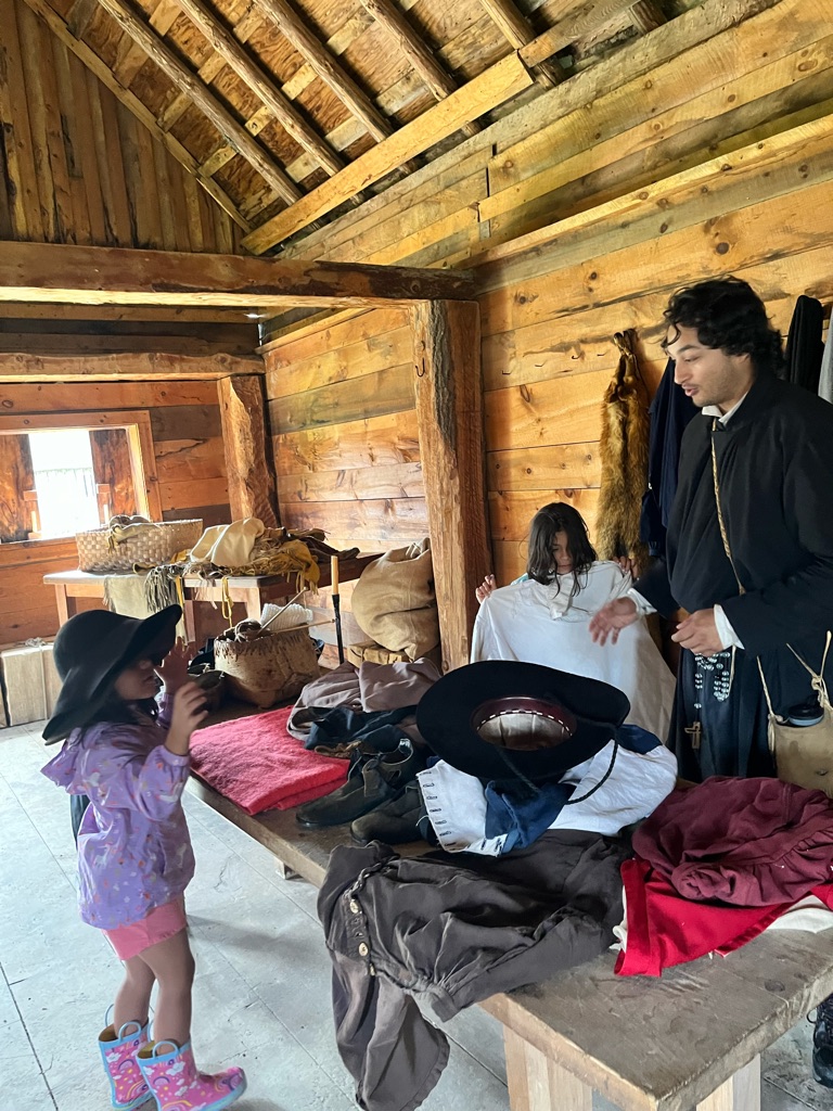
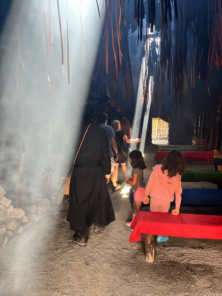
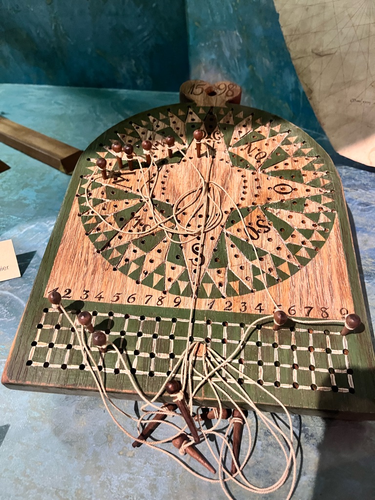
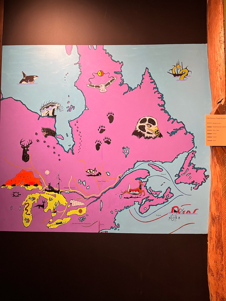
Schuner Speedy left from York to Kingston . It was not in a good condition . The last time it was seen was close to Presqu’ile .

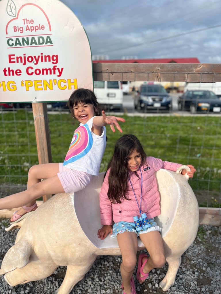
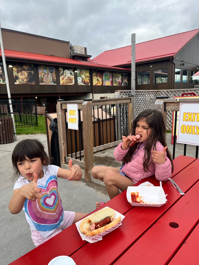
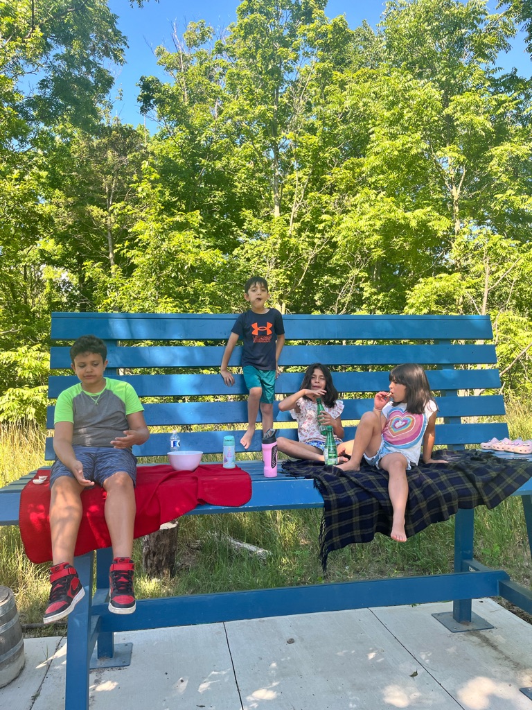
Yummy sausage at the Big Apple on the way home

Found shells! Freedom

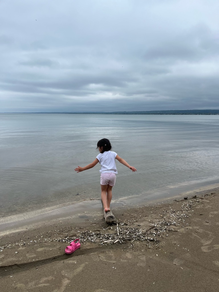
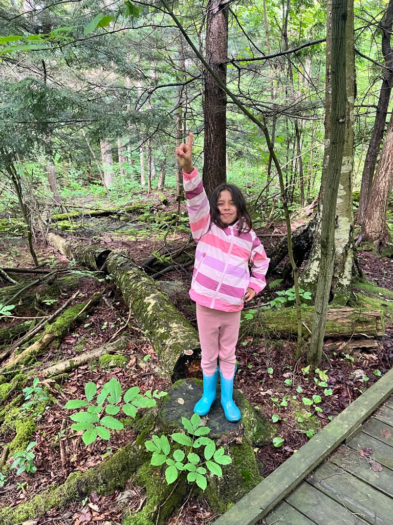
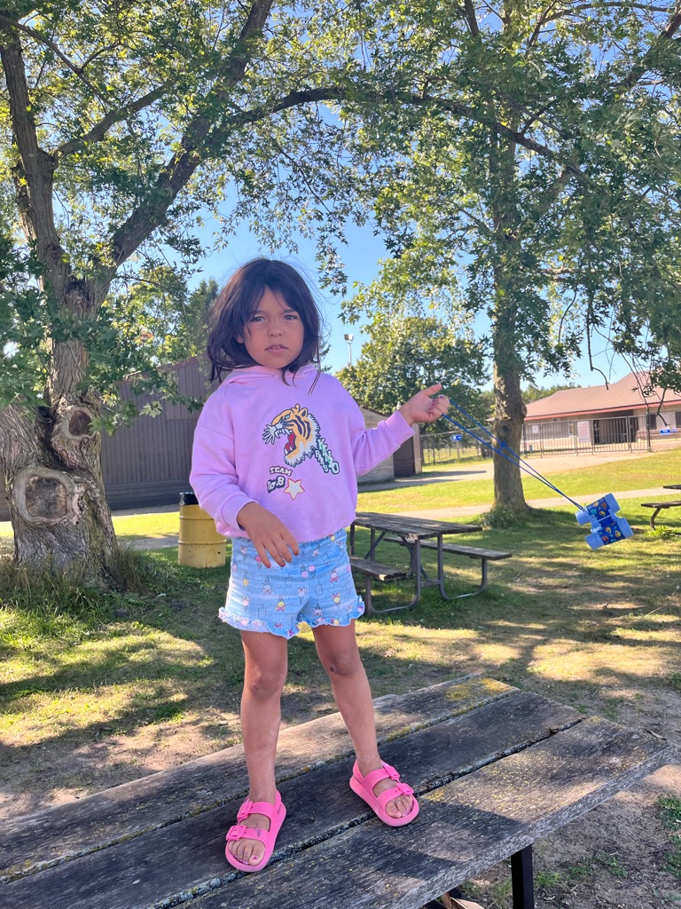
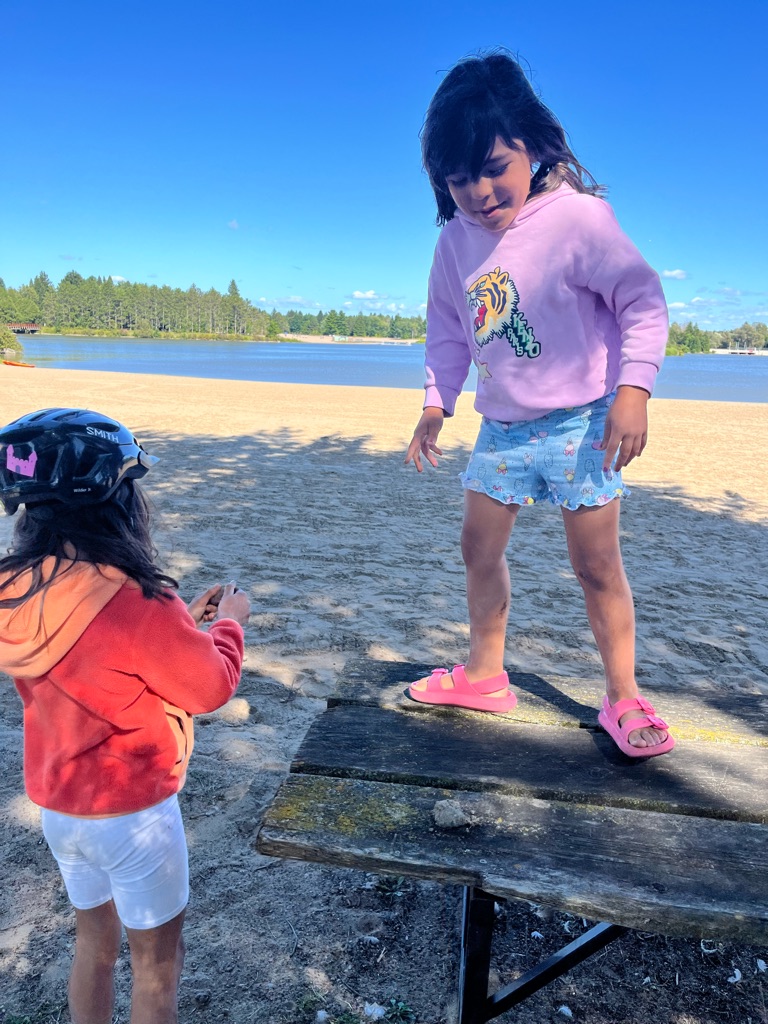
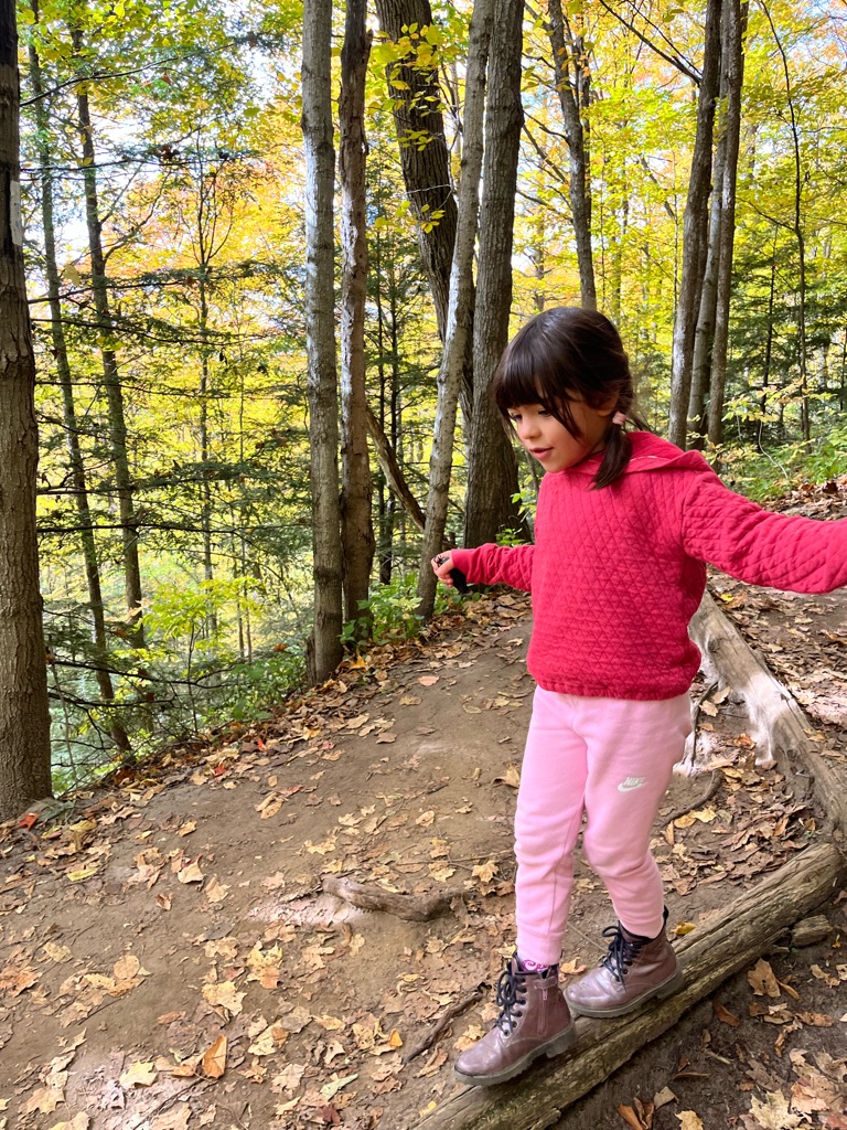
Balancing on the beam . Ladies and gentlemen , this is Eden show !

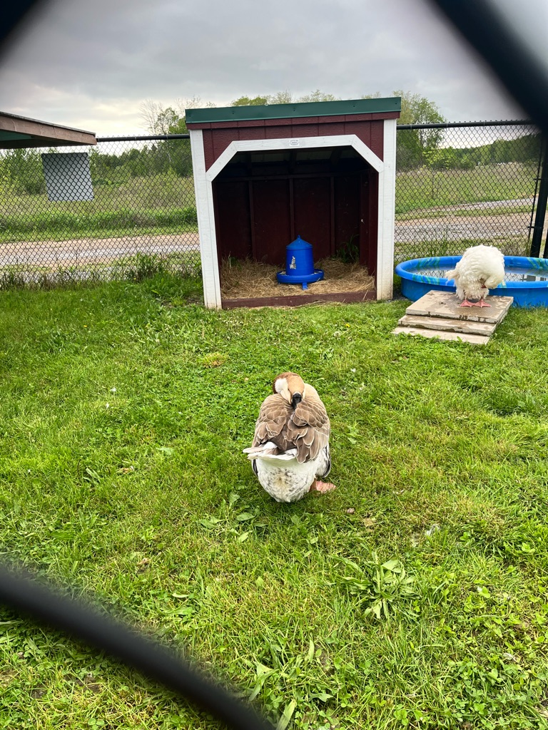
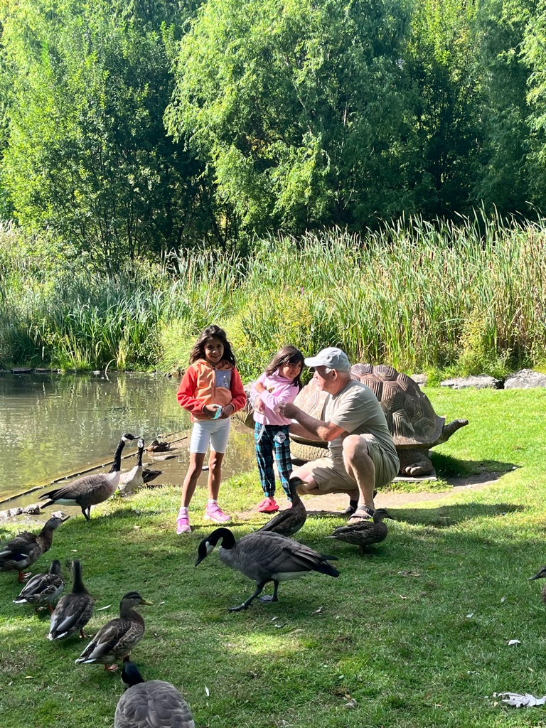
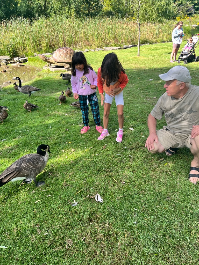
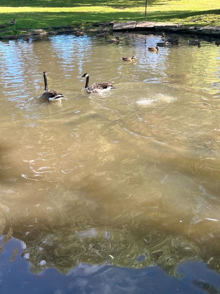
This goose seems to have a pillow for its head as per Kyra!

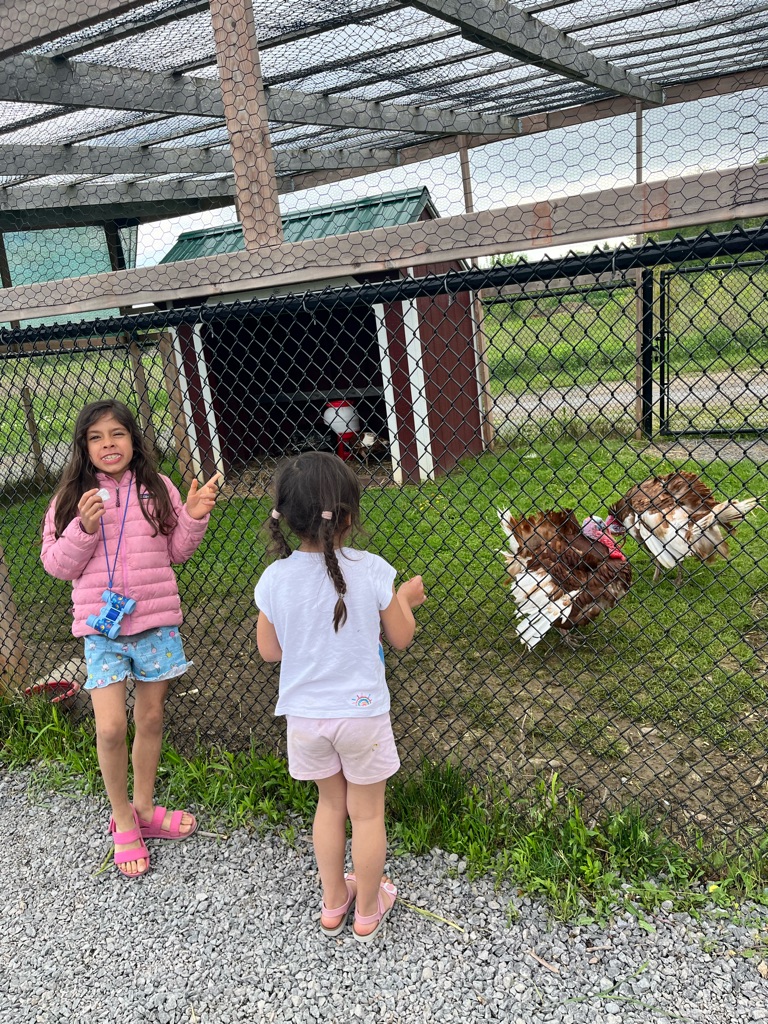
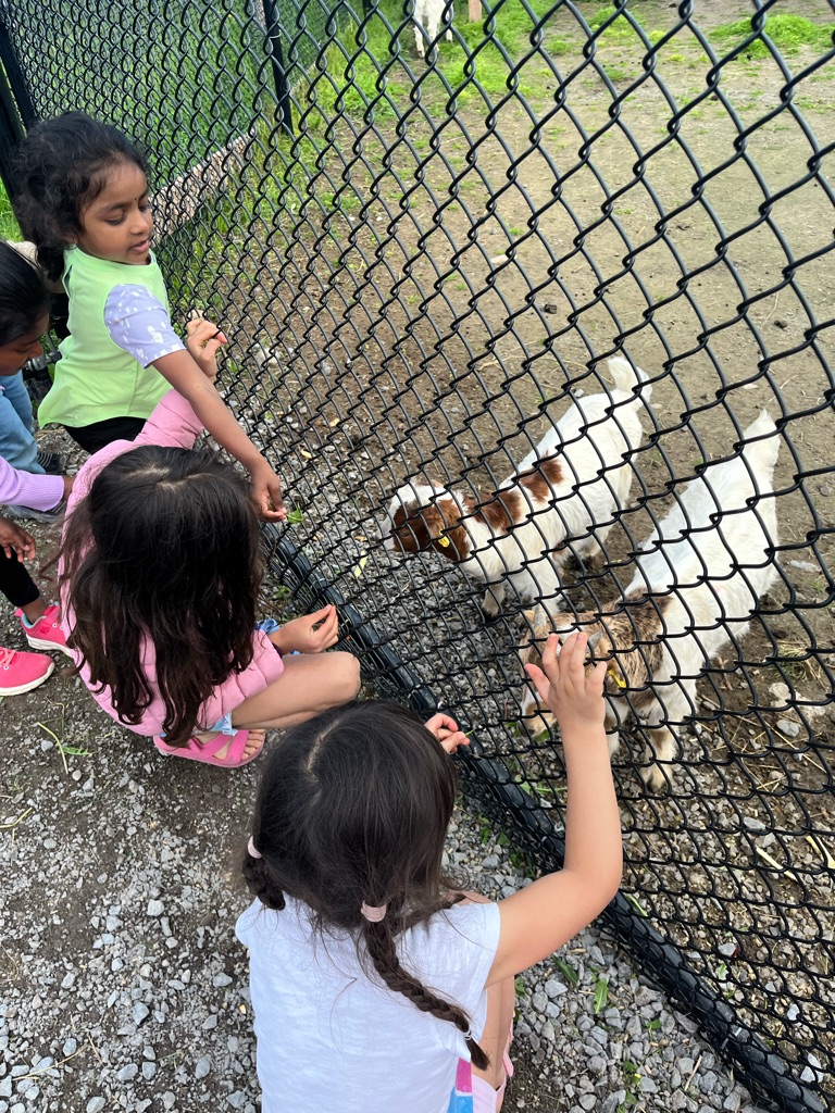
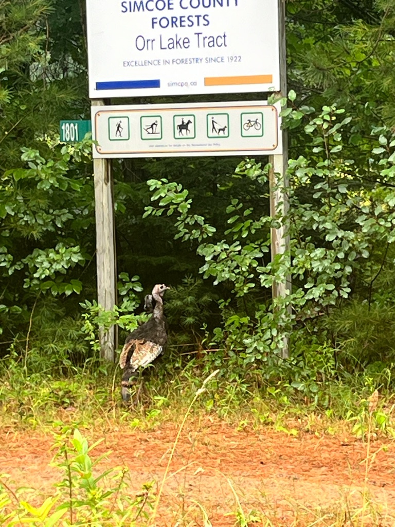
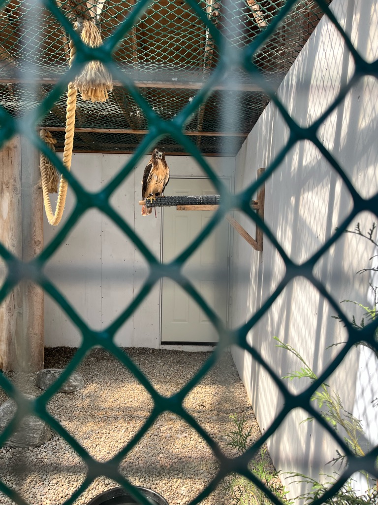
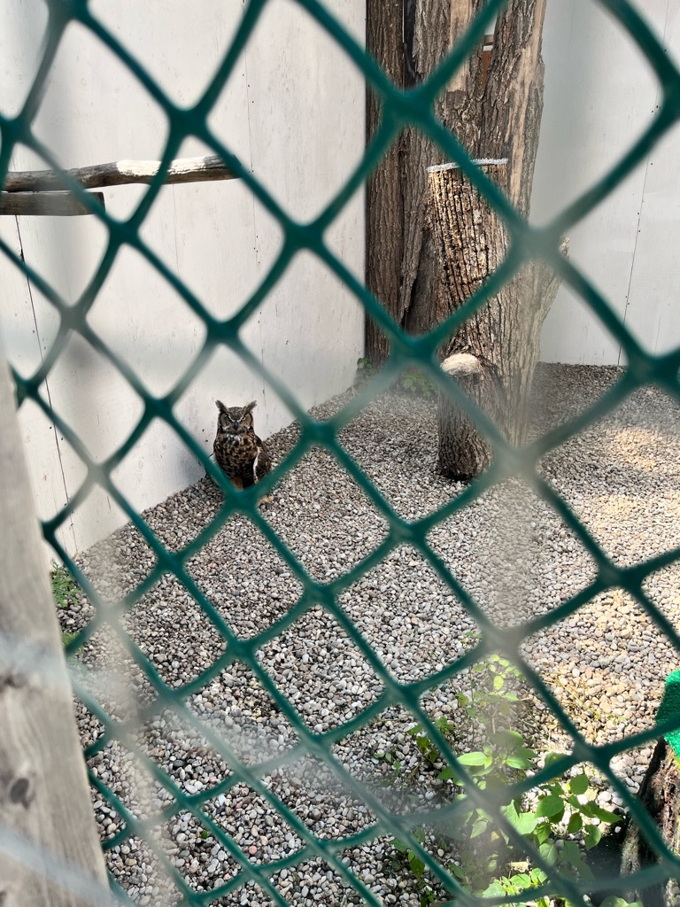
Petting zoo ! Look at the turkeys

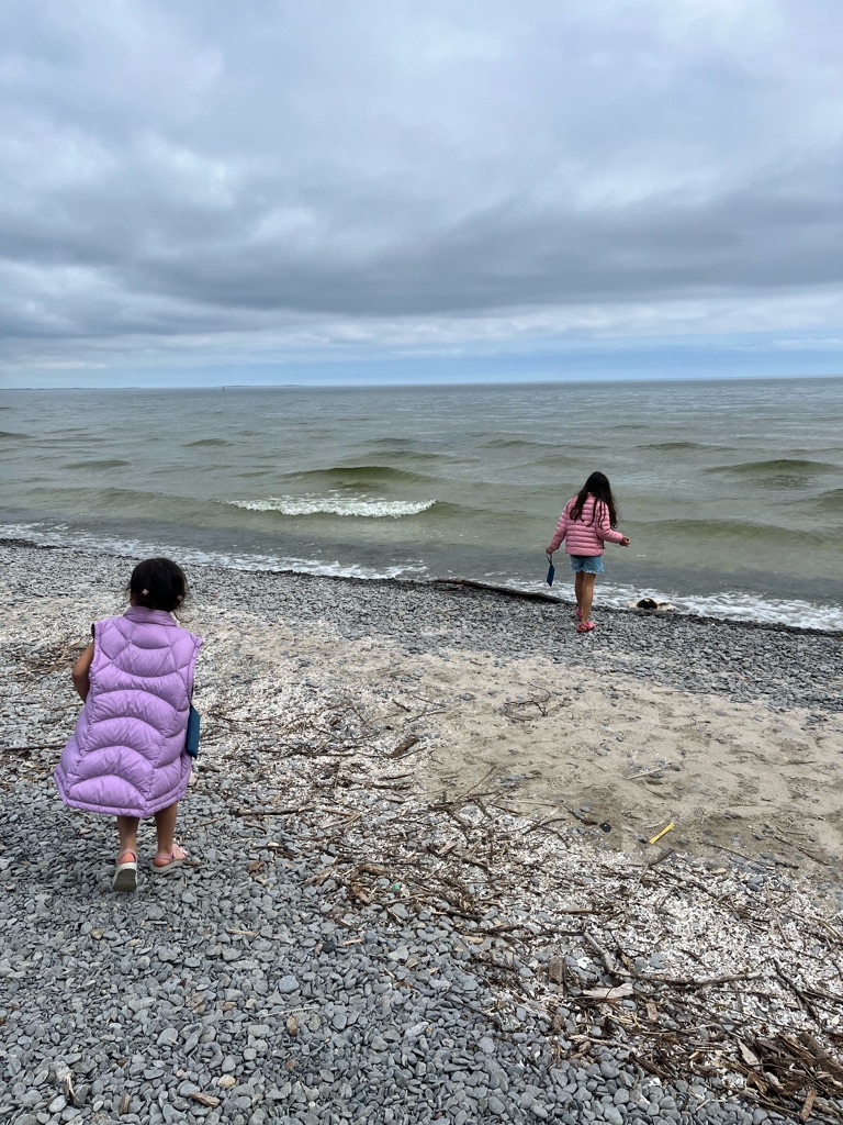
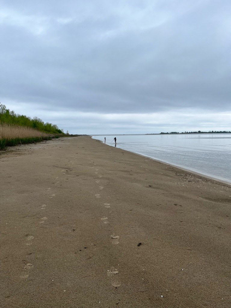
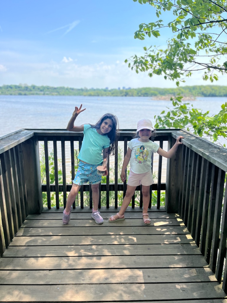
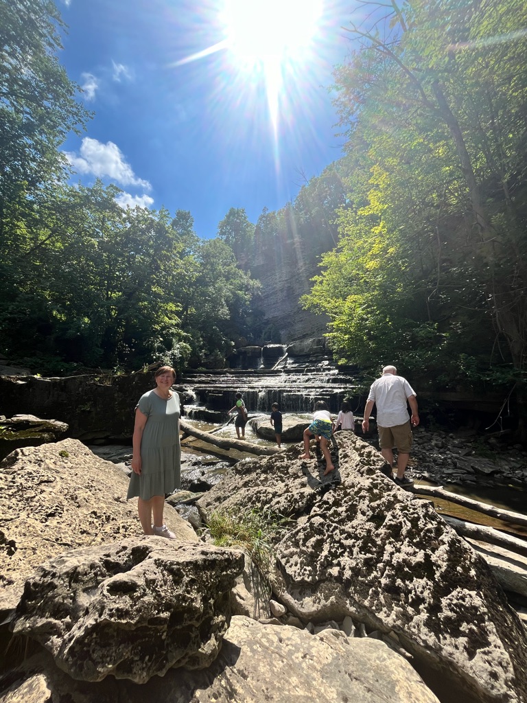
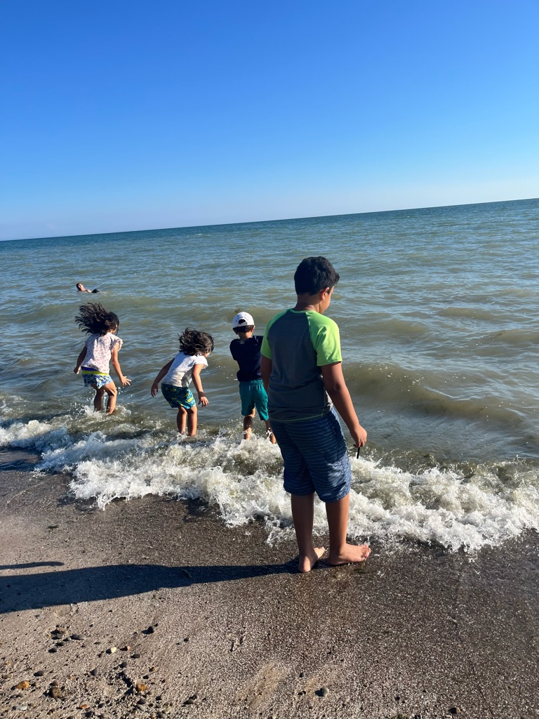
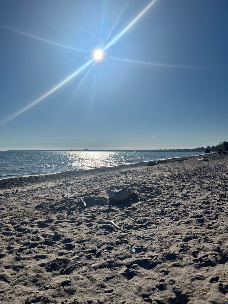
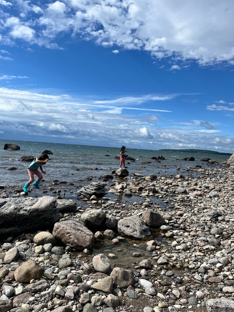
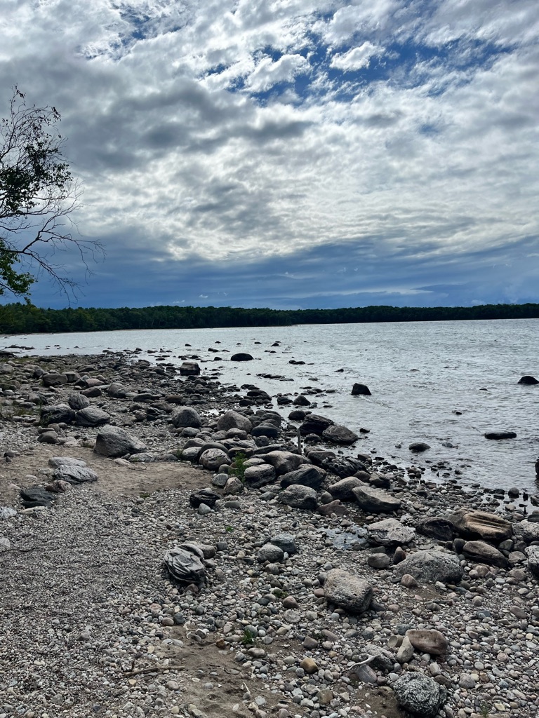
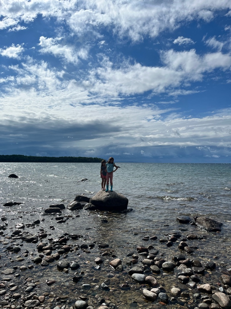
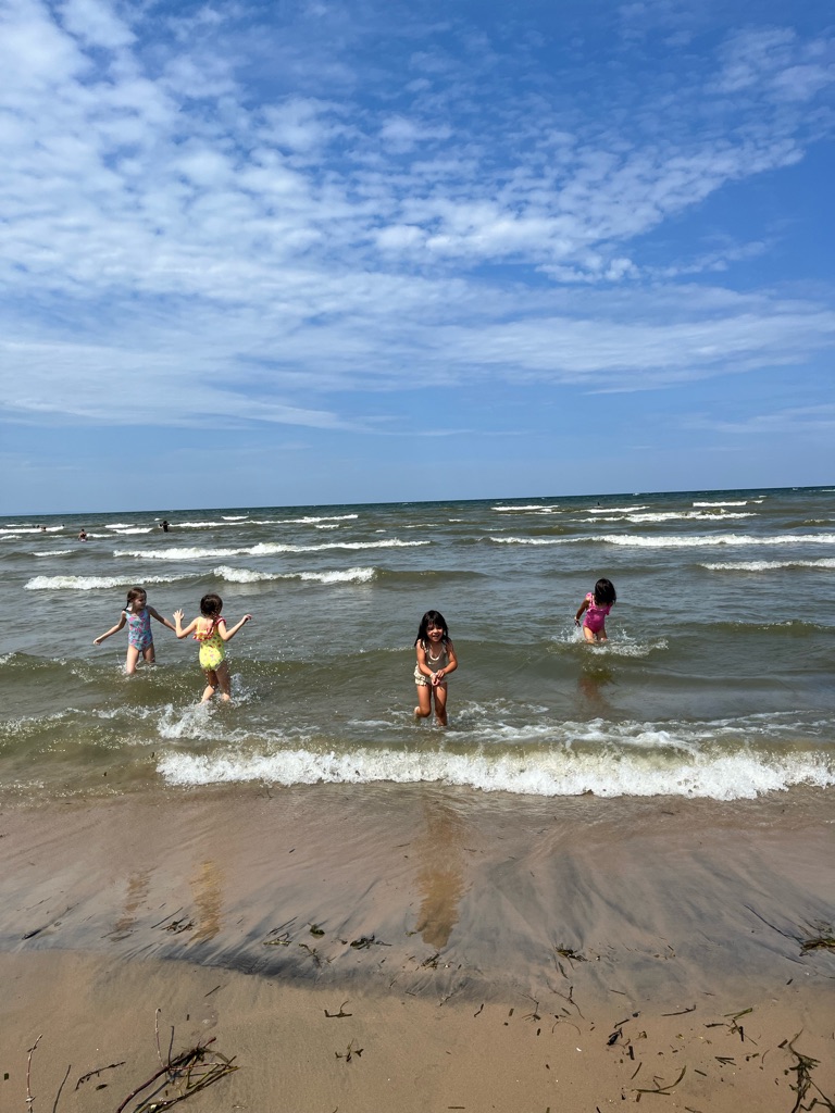
Big waves and strong currents at the Presqu’ile point !

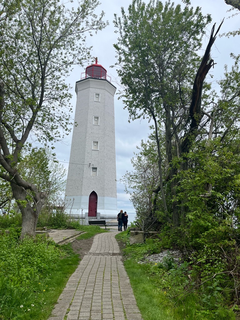
The lighthouse at Presqu’ile Point is the second longest continually open light house on Lake Ontario, with new cupola installed in the fall of 2023. It opened in 1840. It was the first light an early mariner would encounter east of Toronto heading towards Kingston. For 95 years the light keeper would carry fuel up 80 steps to keep the light shining on stormy nights, until electricity reached the lighthouse in 1935.

Digging in the sand

Later in the summer the lake dries out . Perfect ground for sandpipers . We have to come back !

Freedom

Ferns in mid May !

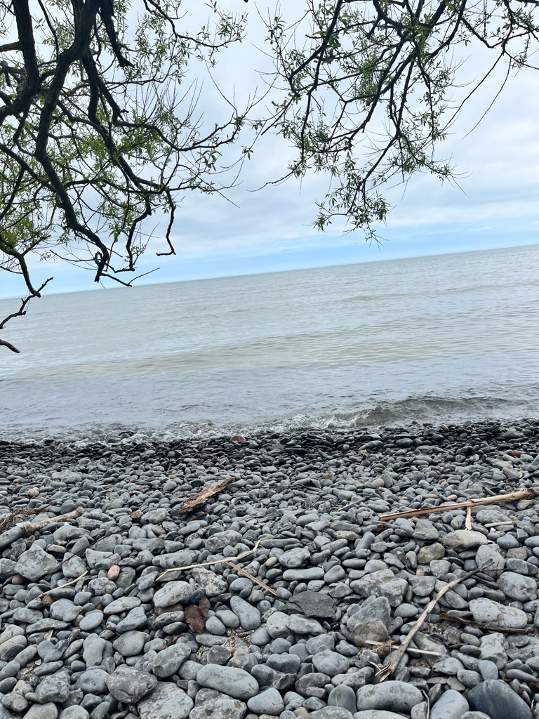
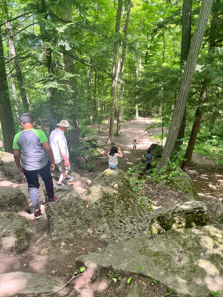
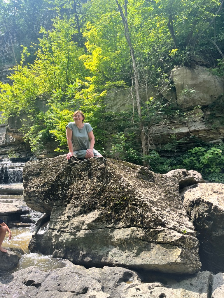
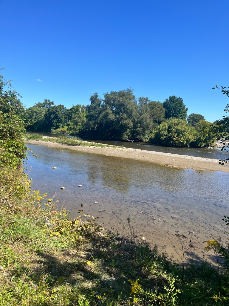
The way Presqu’ile was formed , limestone is easily broken off . Lots of 350m fossils on the beach . Lots of pebbles on this part of the peninsula .

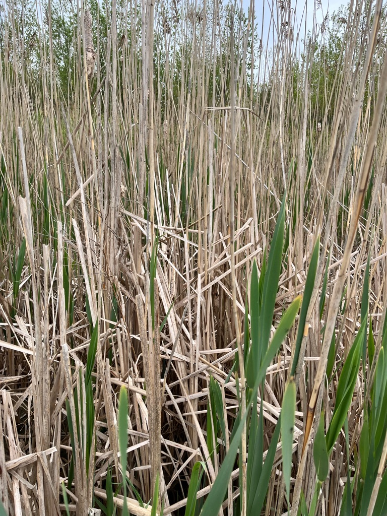
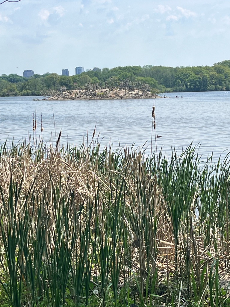
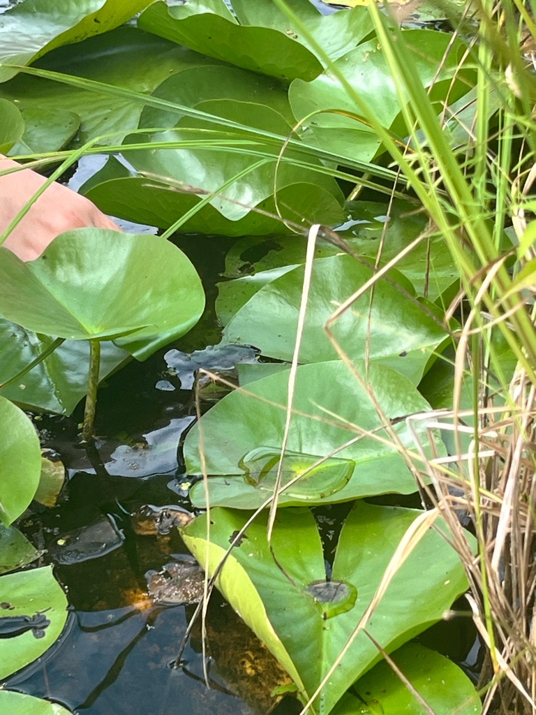
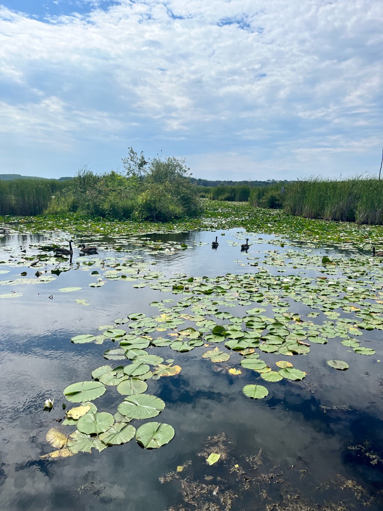
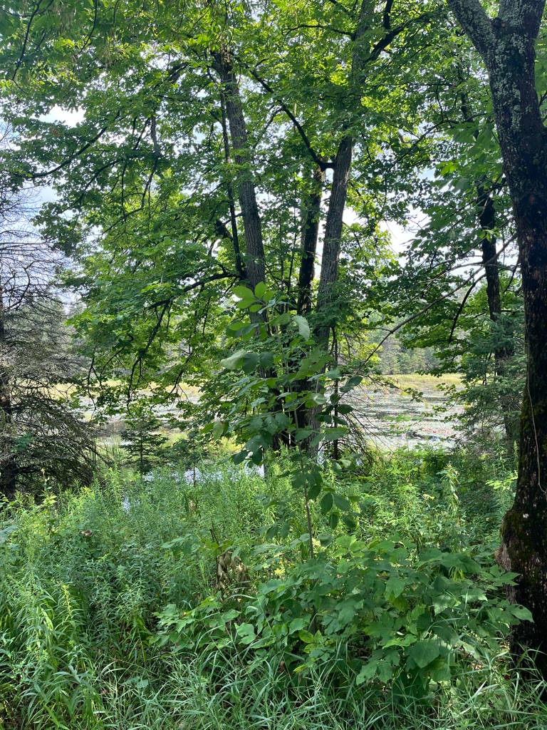
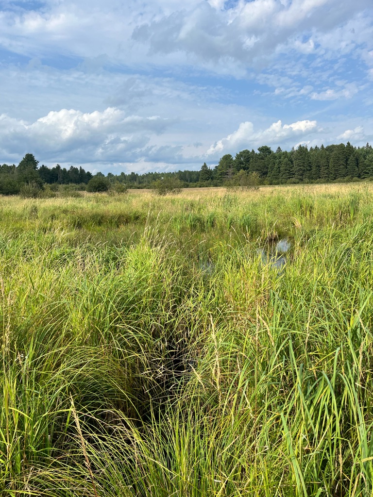
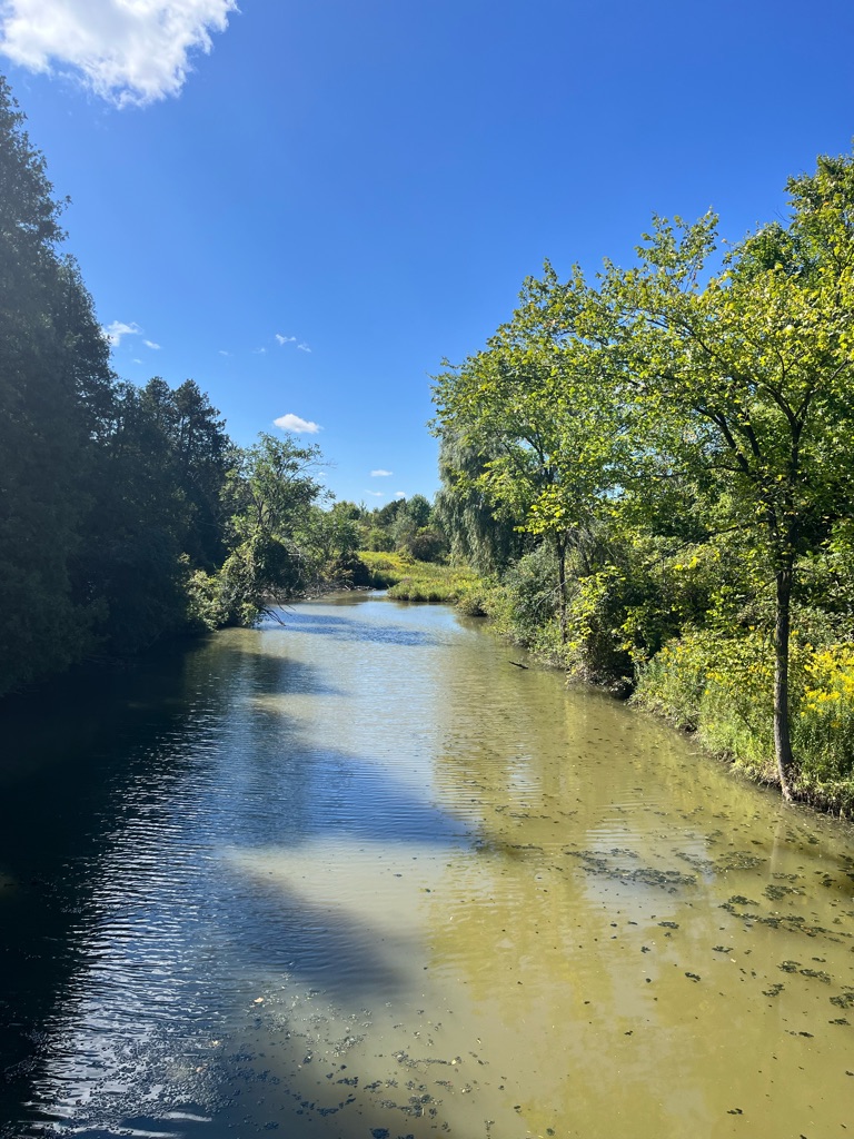
And reeds - an invasive species ? It’s wet in the spring, dry in the summer , very few species can last through this. Marsh land

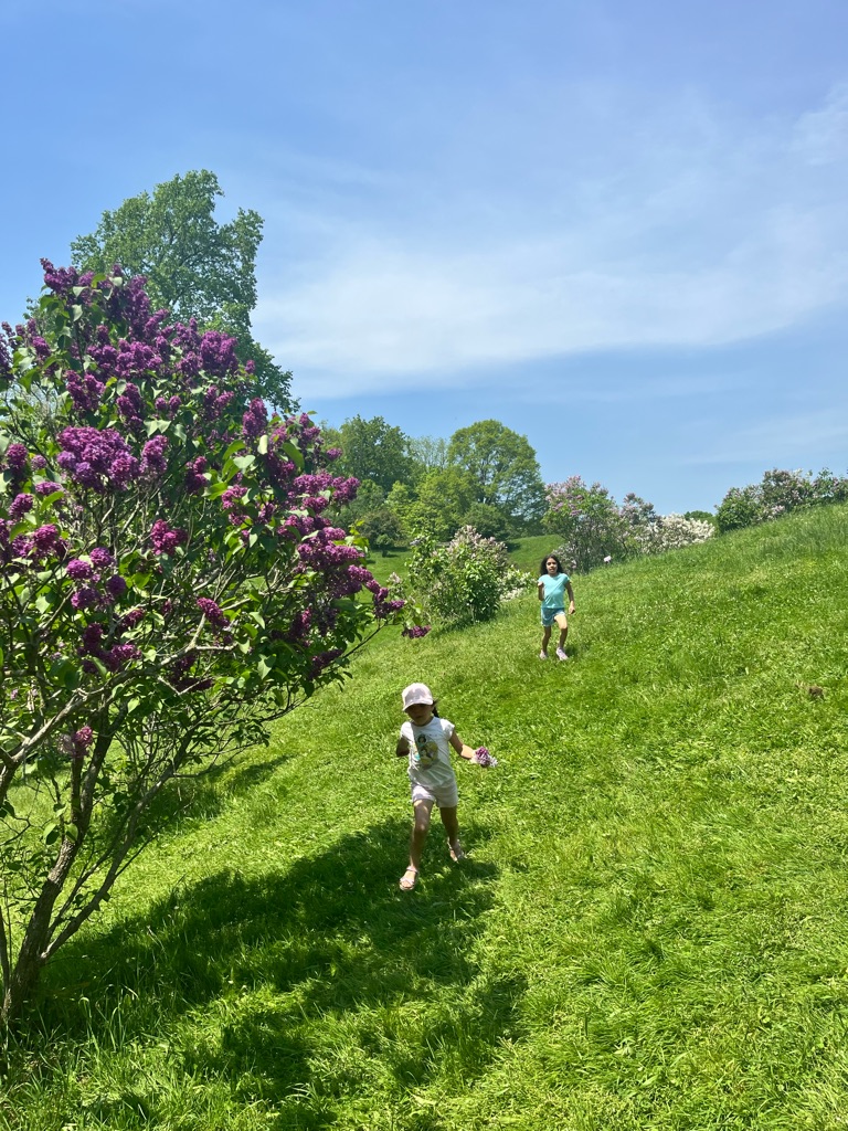
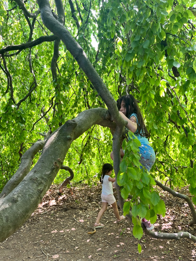
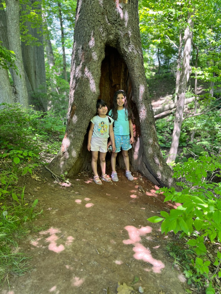
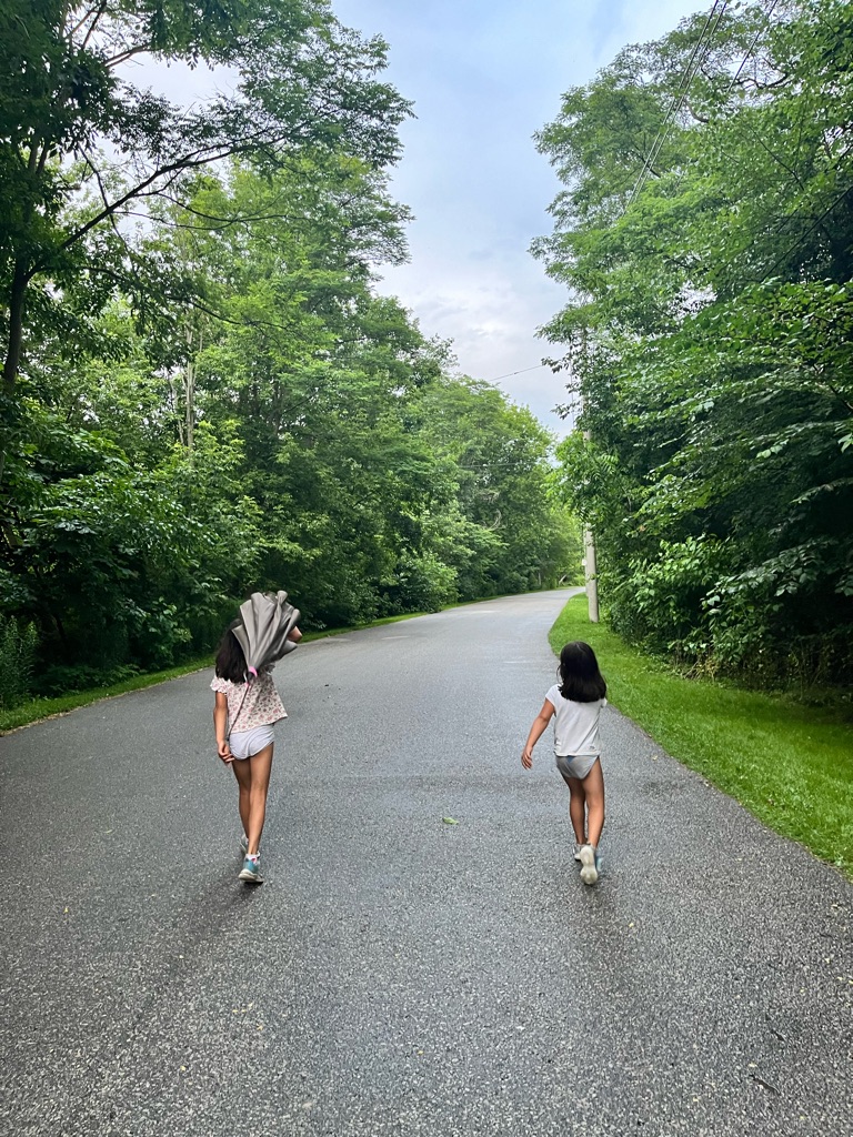
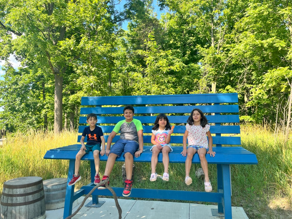
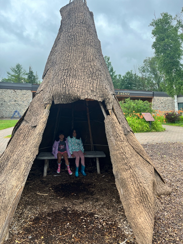
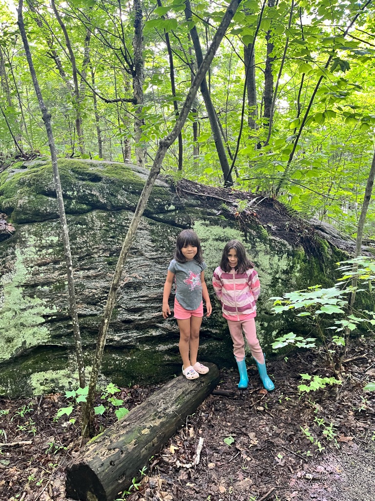
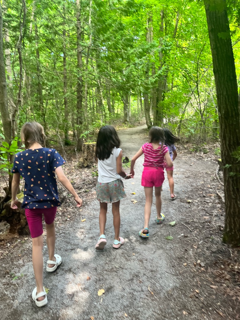
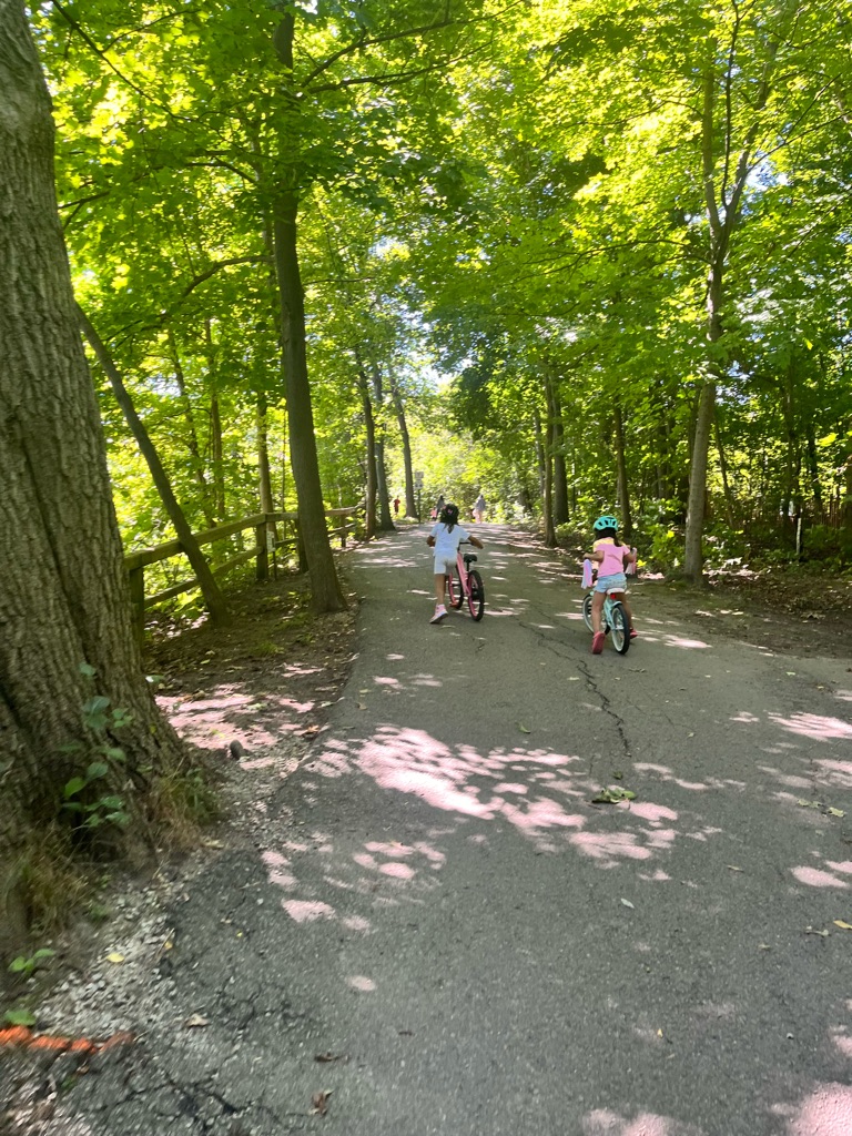
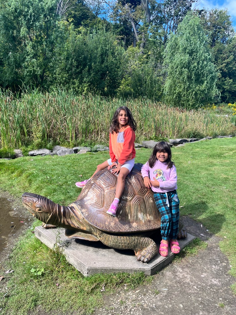
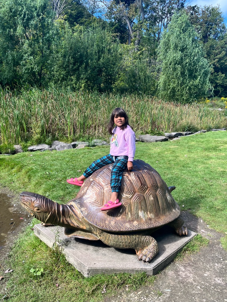
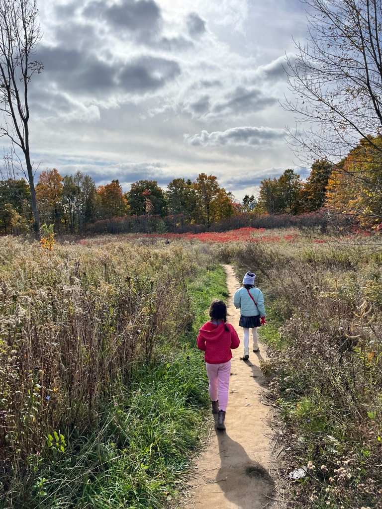
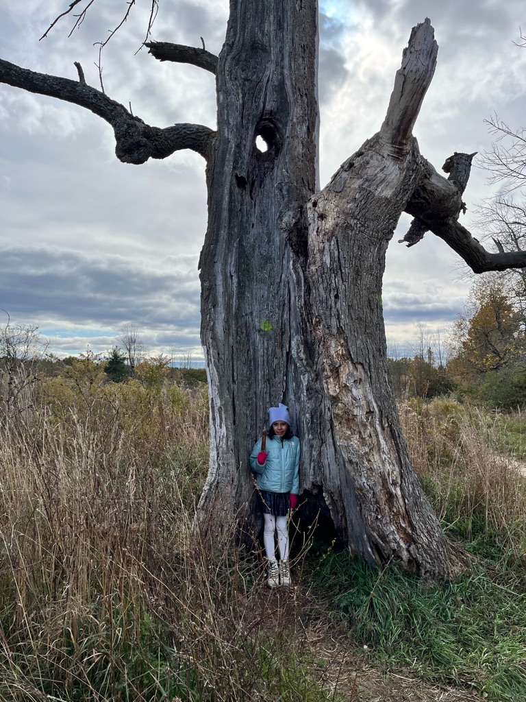
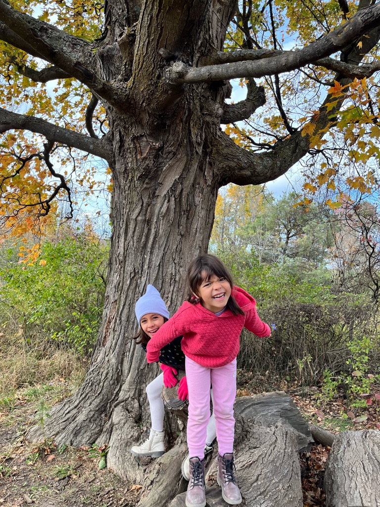
The girls loved running around it

A black bird!

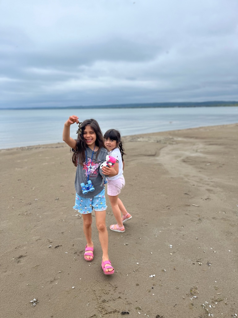
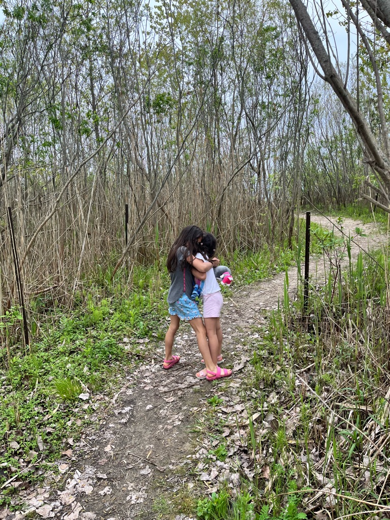
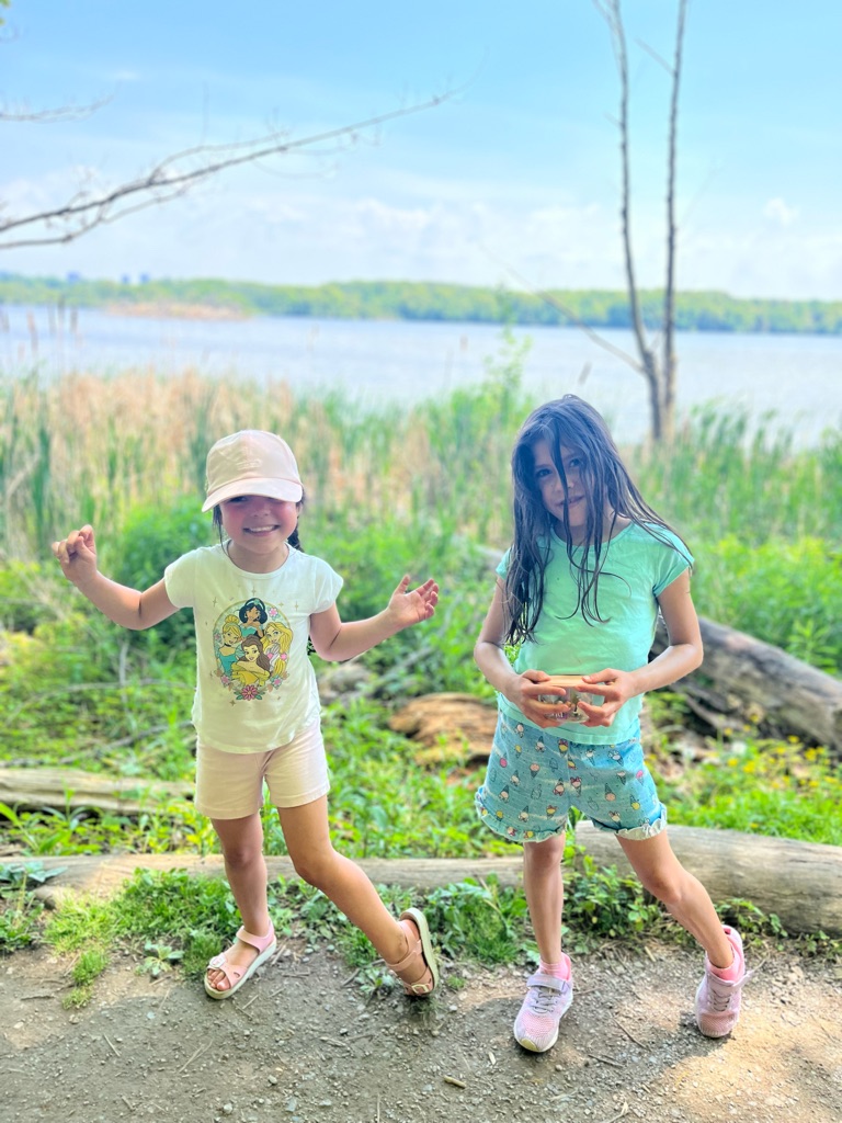
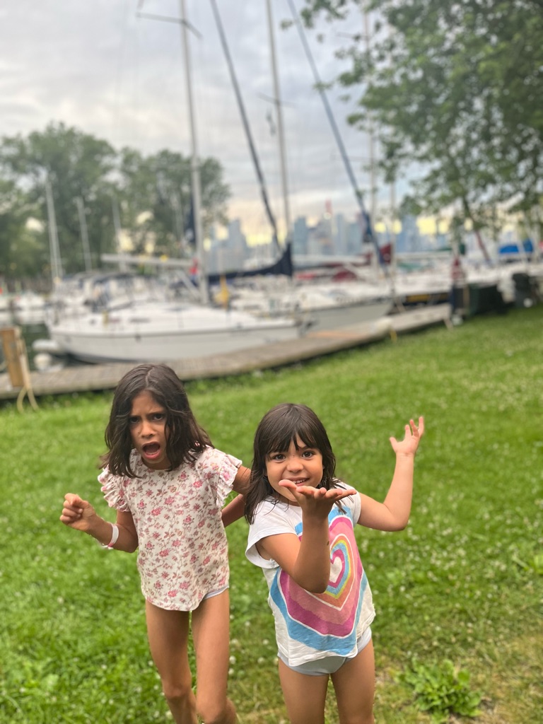
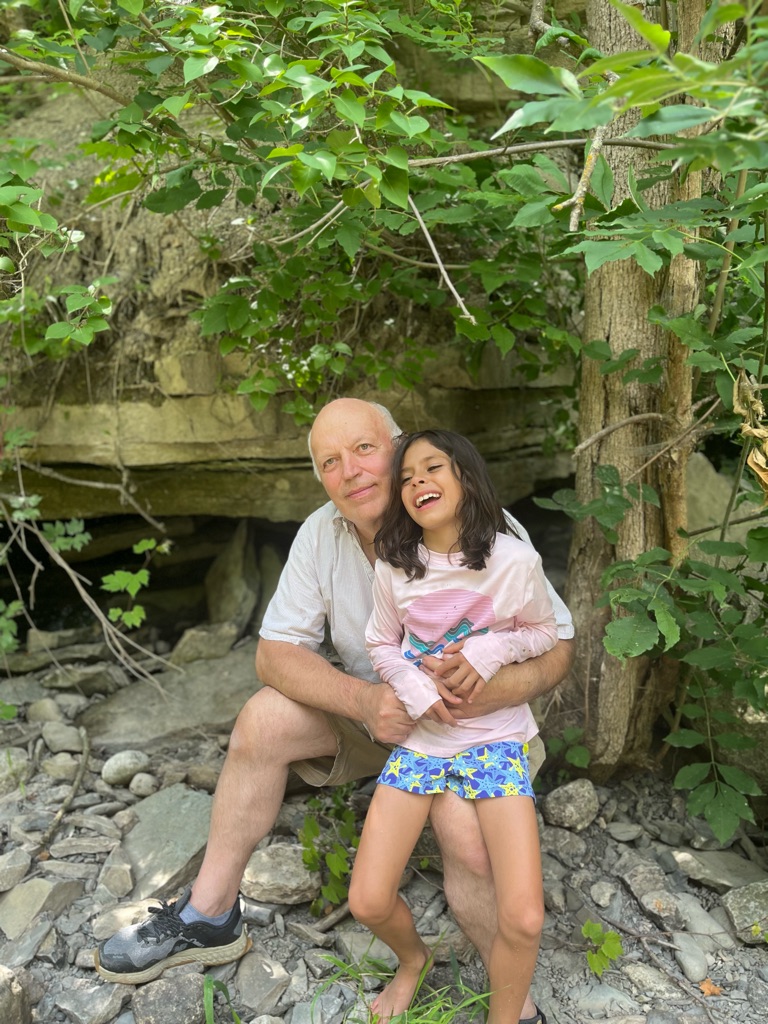
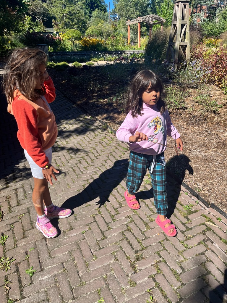
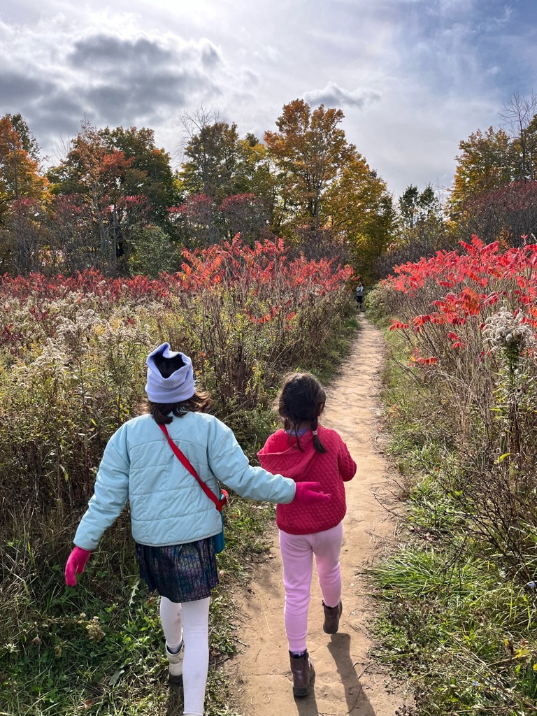
A hug , sister to sister , so excited

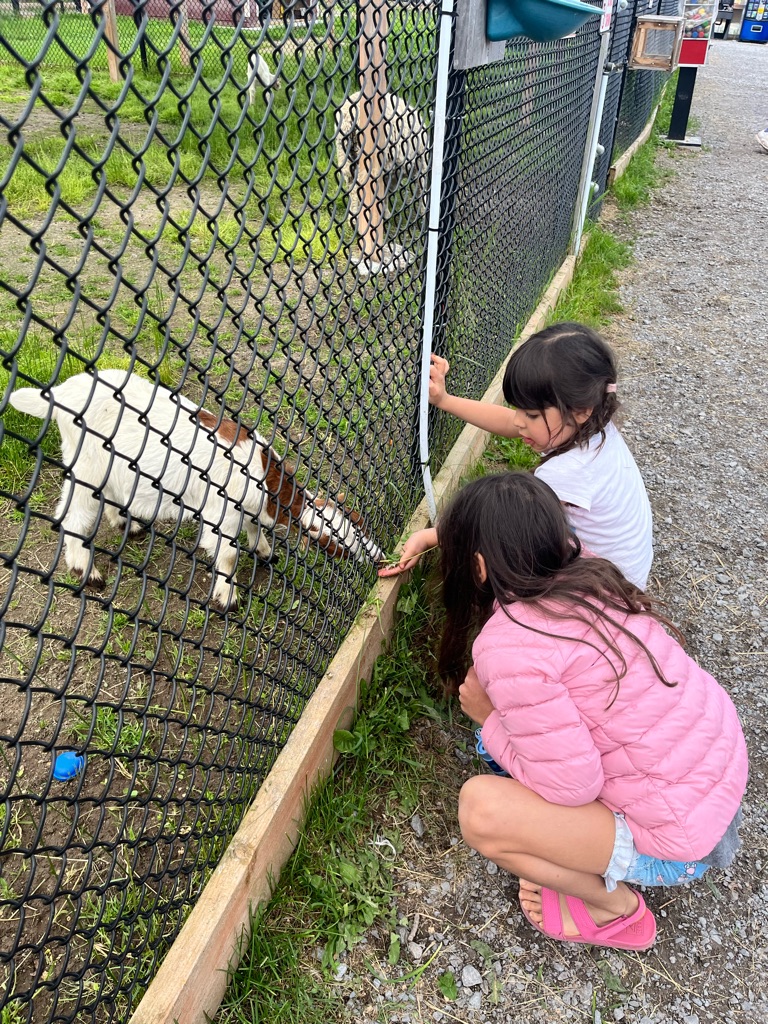
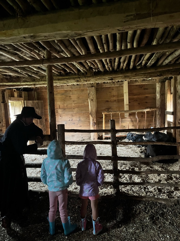
Feeding a Billy goat! Eden got all the pieces from the ground to give to the goat , she knew exactly what to do , smart

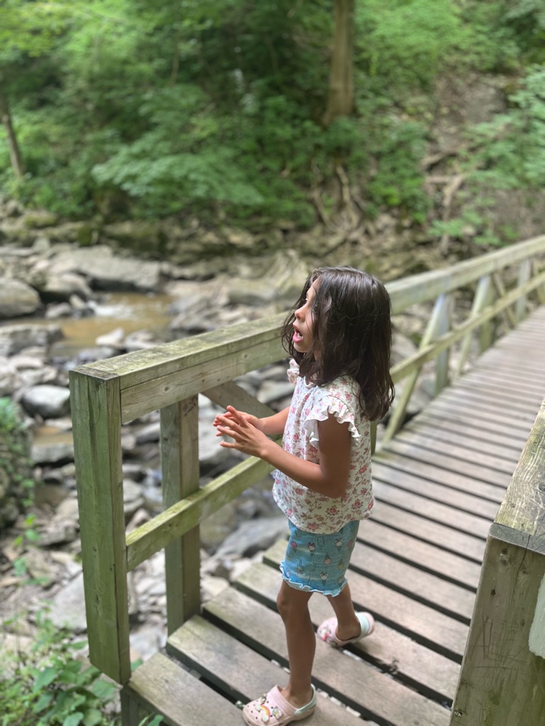
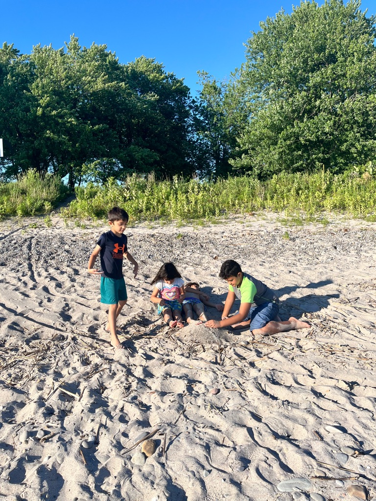
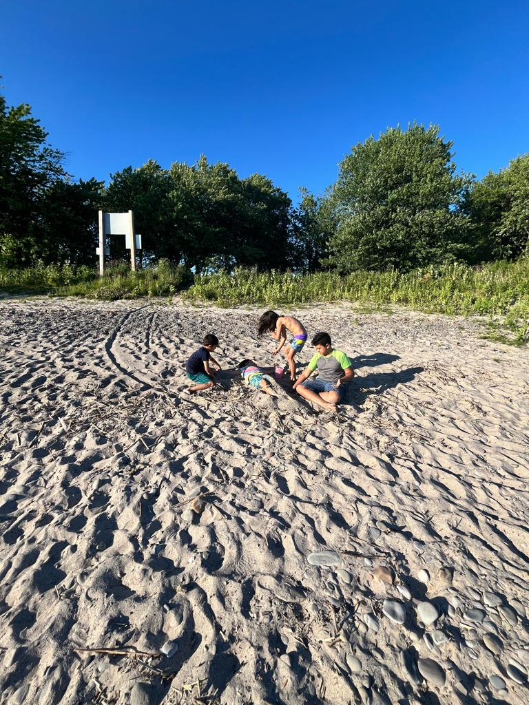
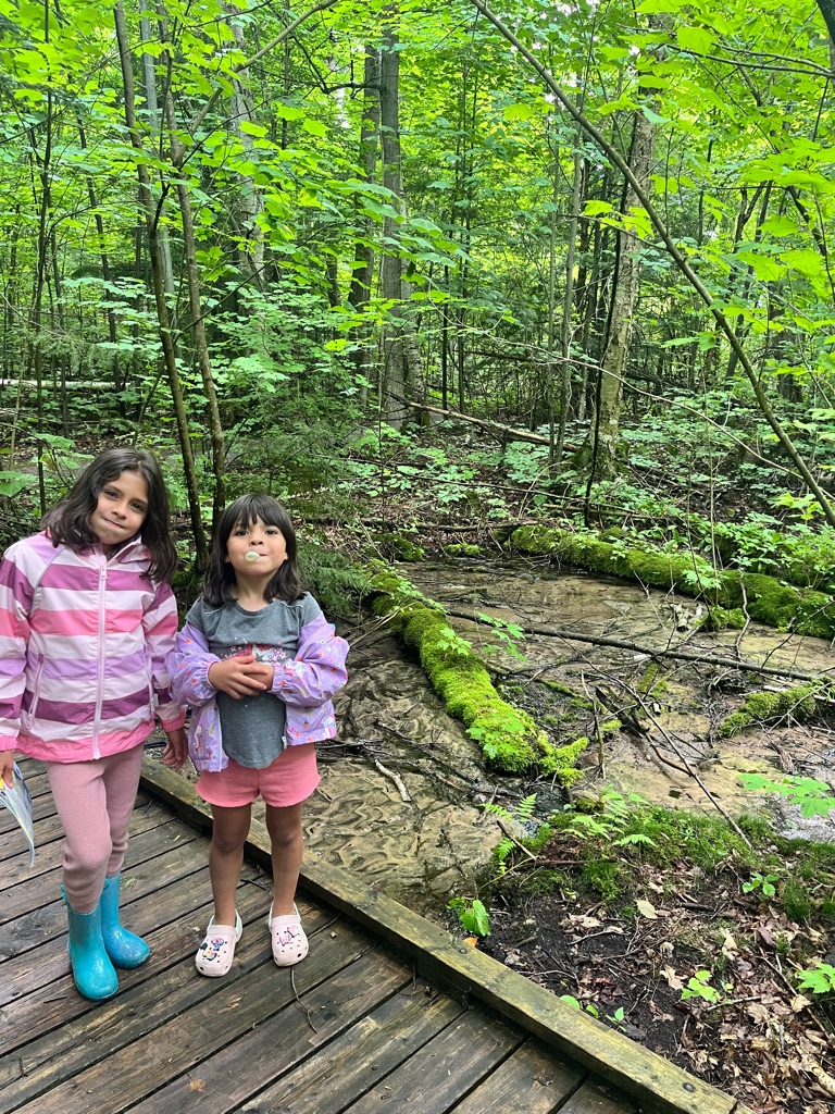
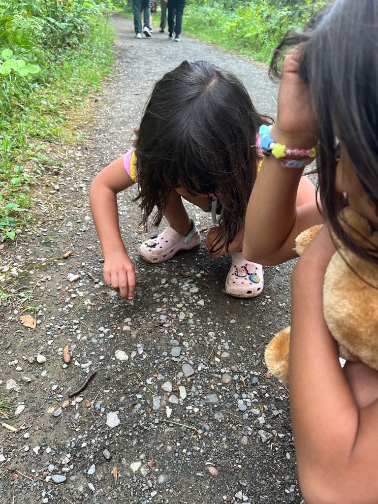
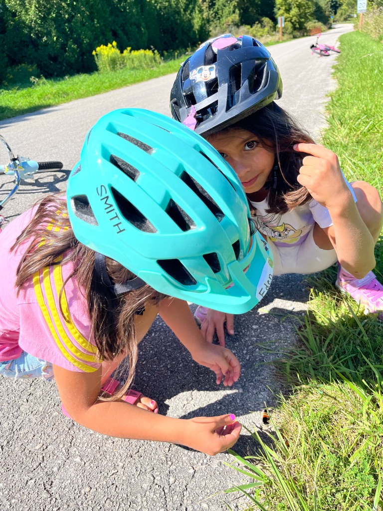
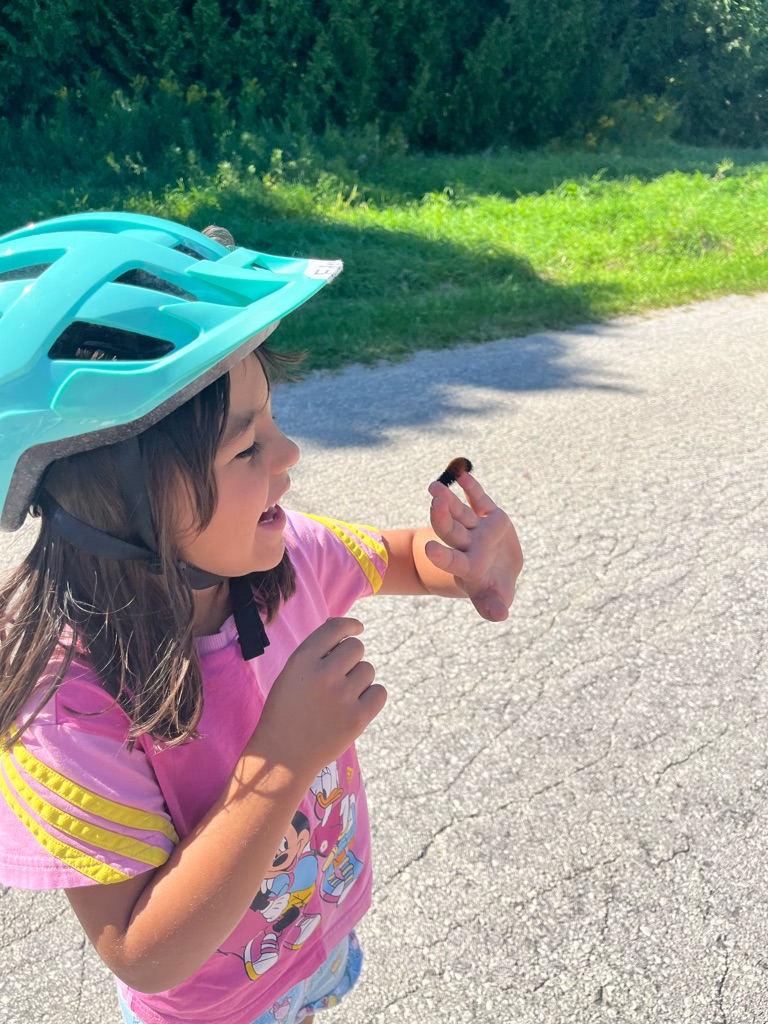
Found a skeleton of a fish . Mommy ! Excitement to explore

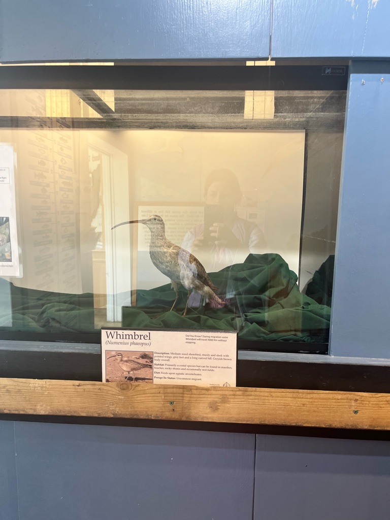
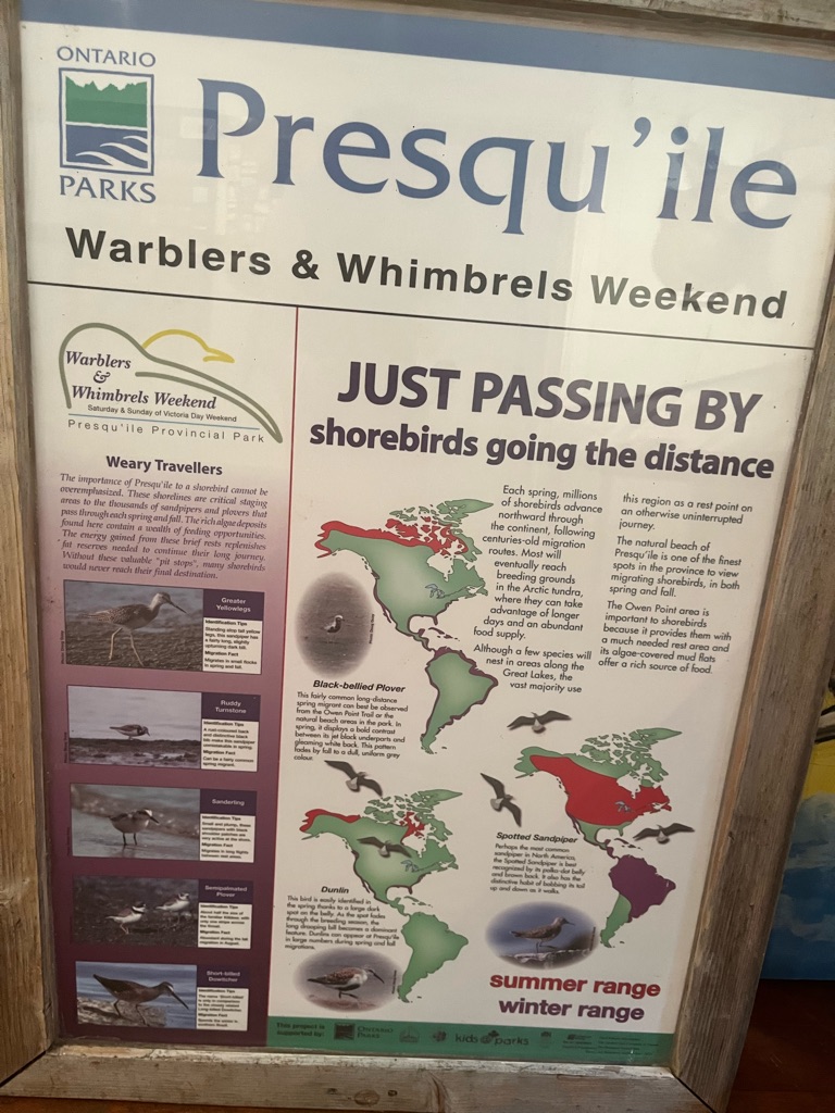
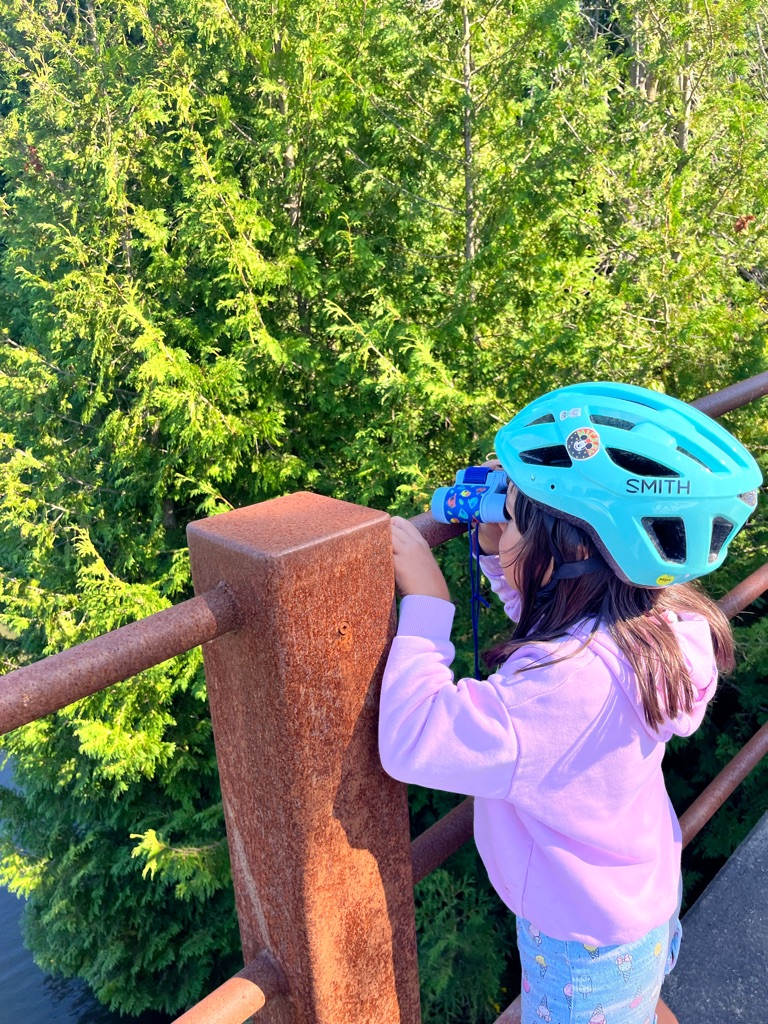
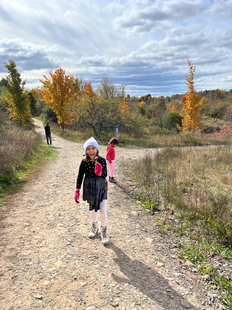
Impressive distance covered by shorebirds !

So many habitats!

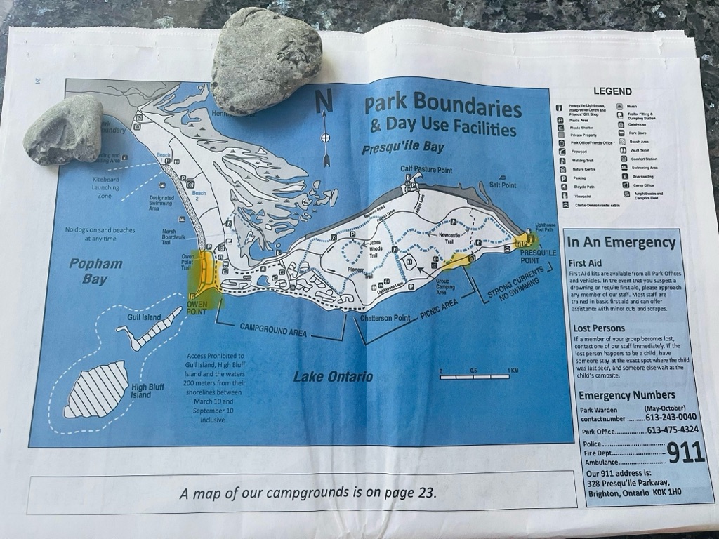
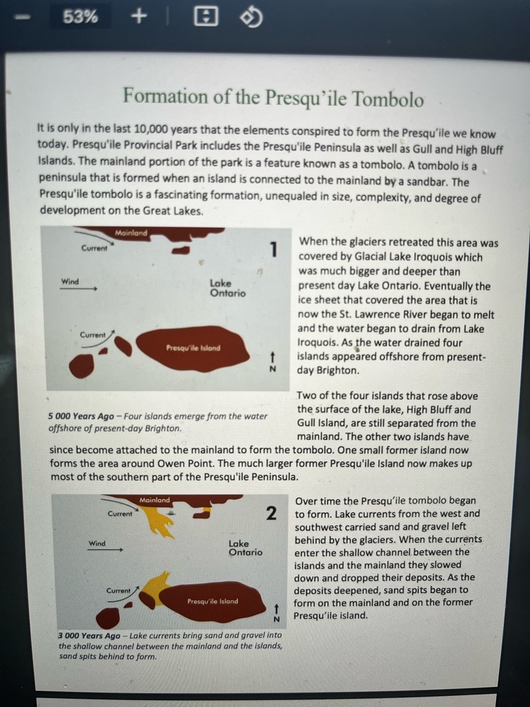
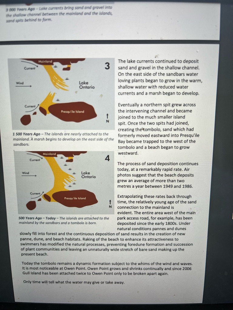
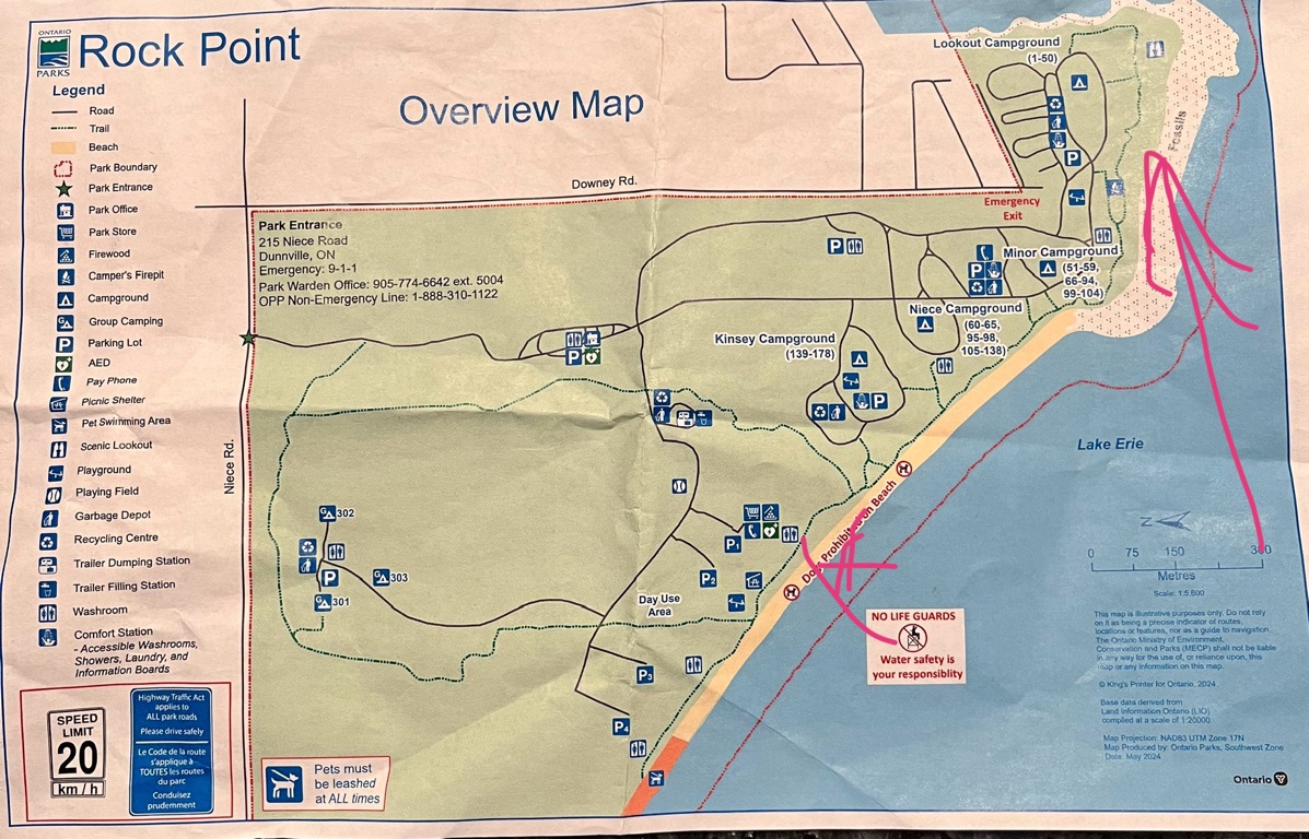
Presqu’ile is a tombolo- an island attached to the mainland by a sand or gravel bar. The campground areas are in the island and the long straight entrance road to the campgrounds travels down the middle of the sandbar. it is that bar that makes up the beach area on its western side.

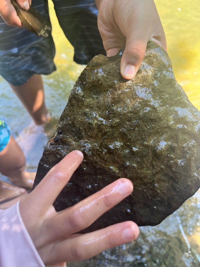
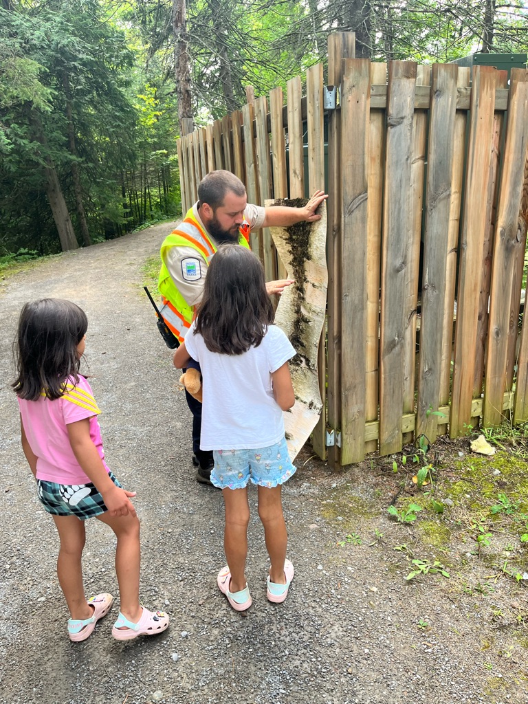
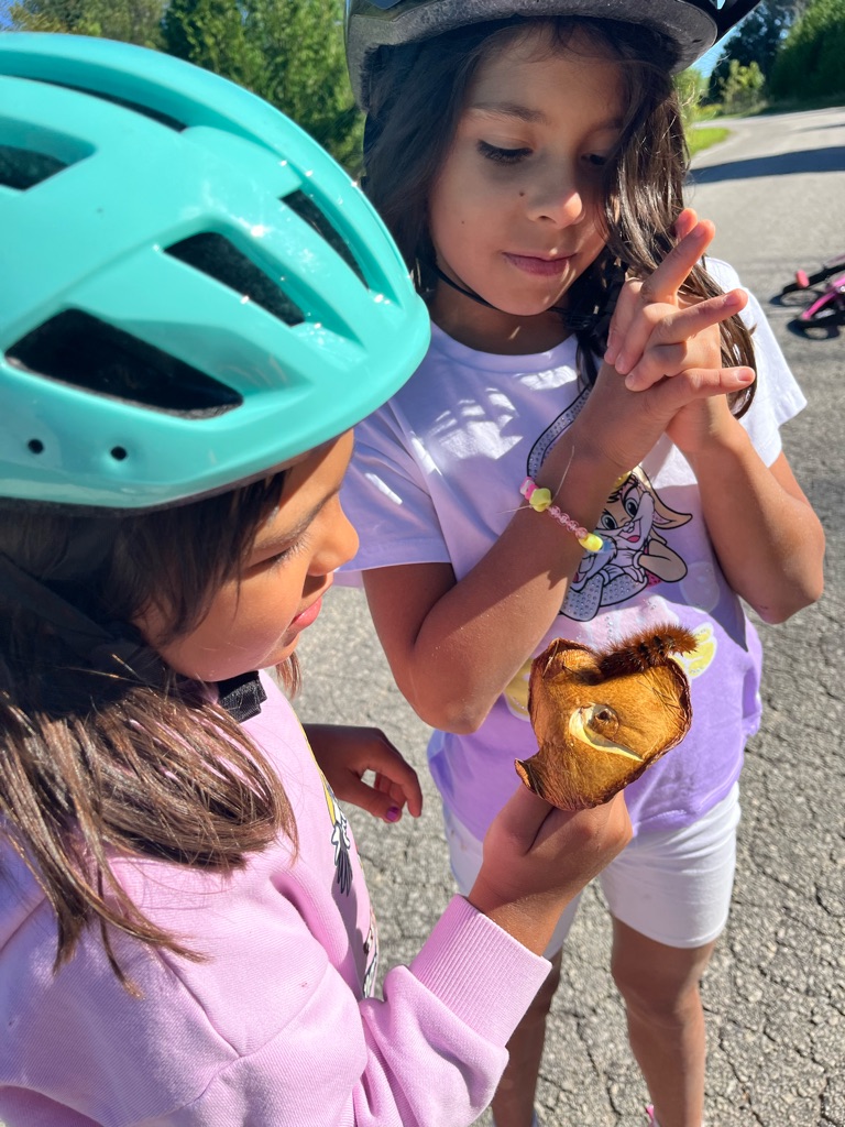
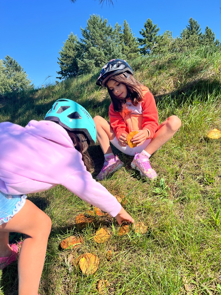
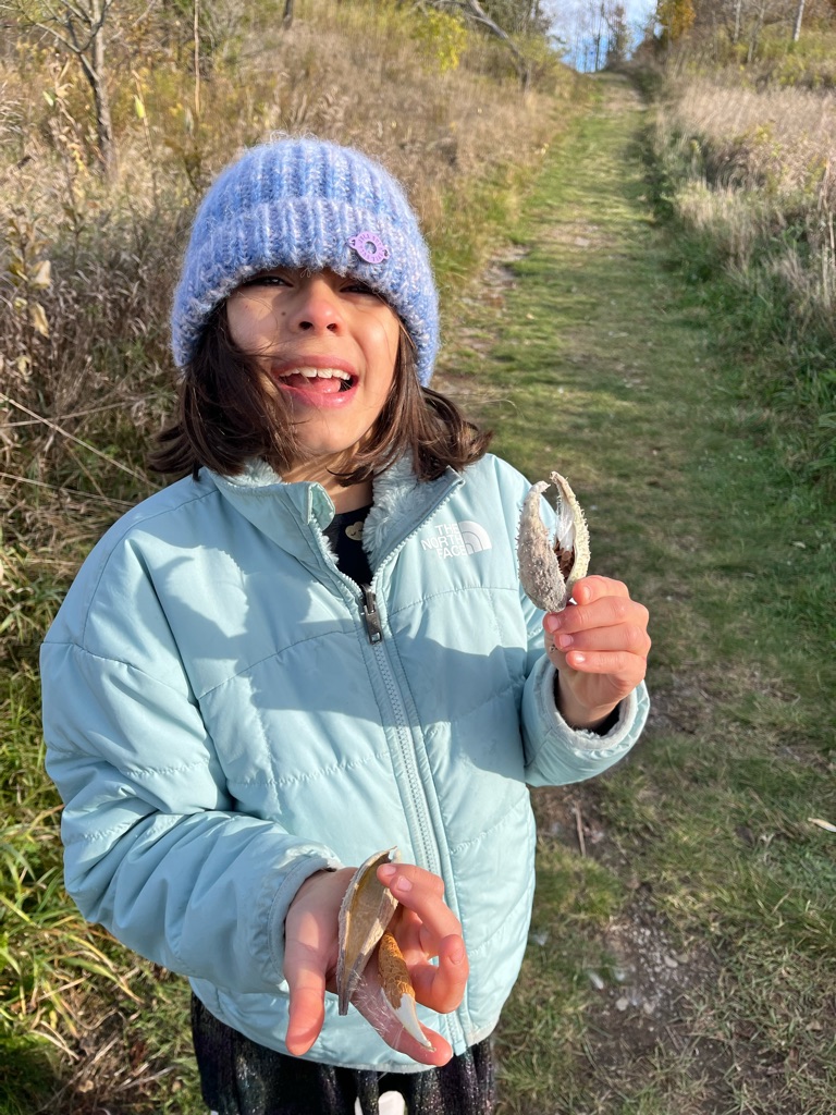
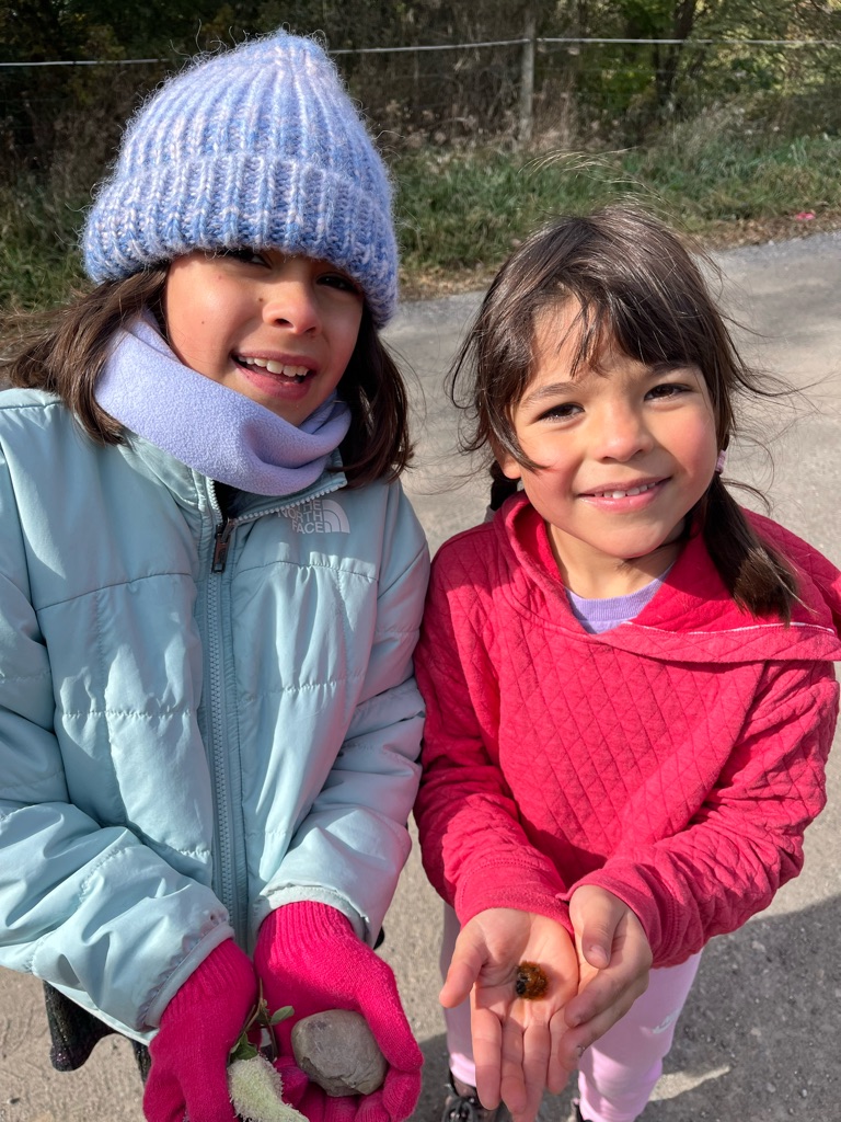
The fossil found is a trilobite. We also found a gastopod but left it on the beach. These fossils would need to be returned to the Nature Centre.

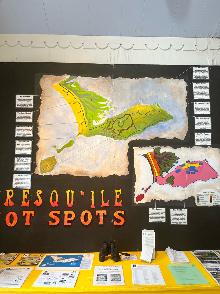
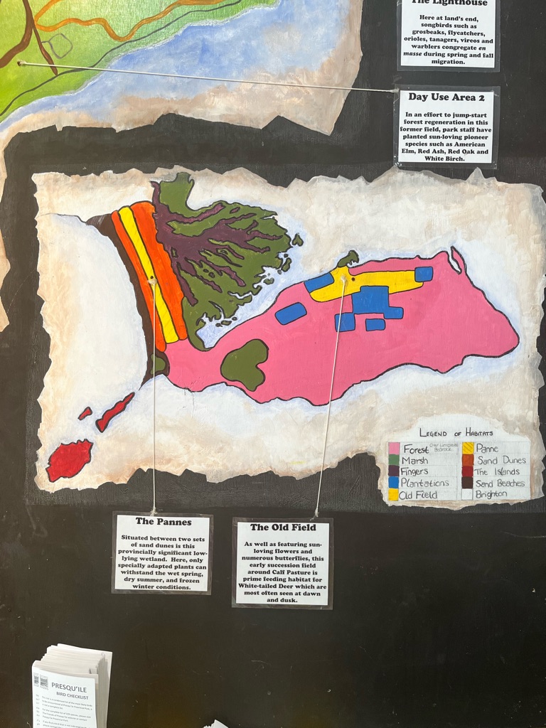
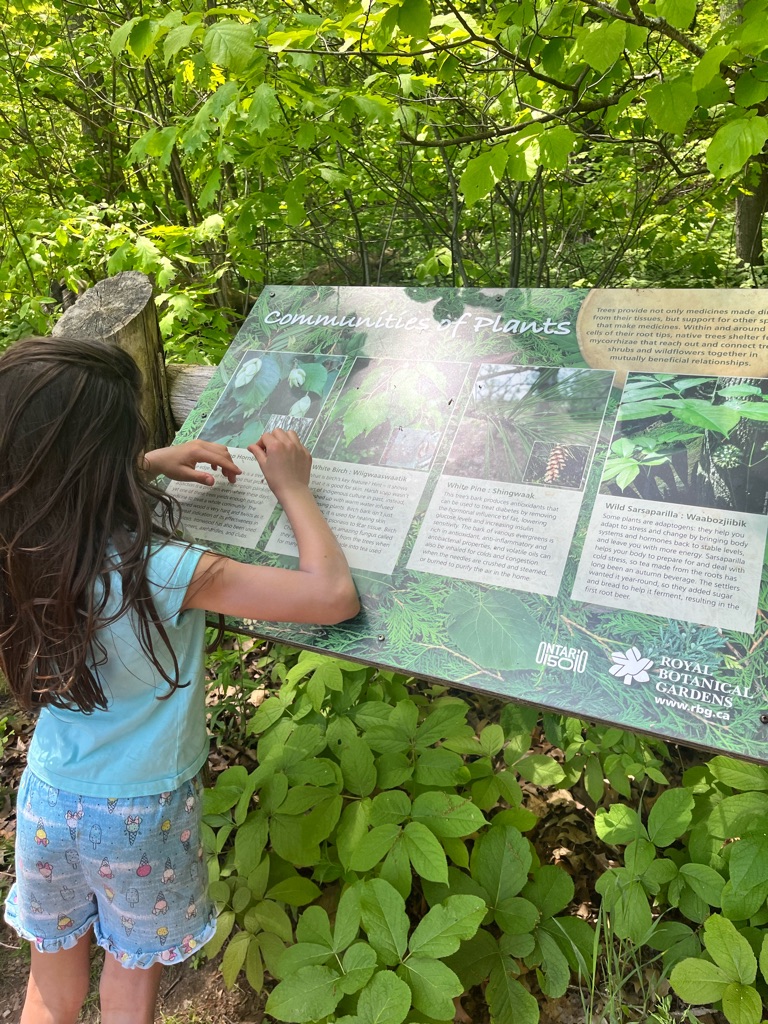
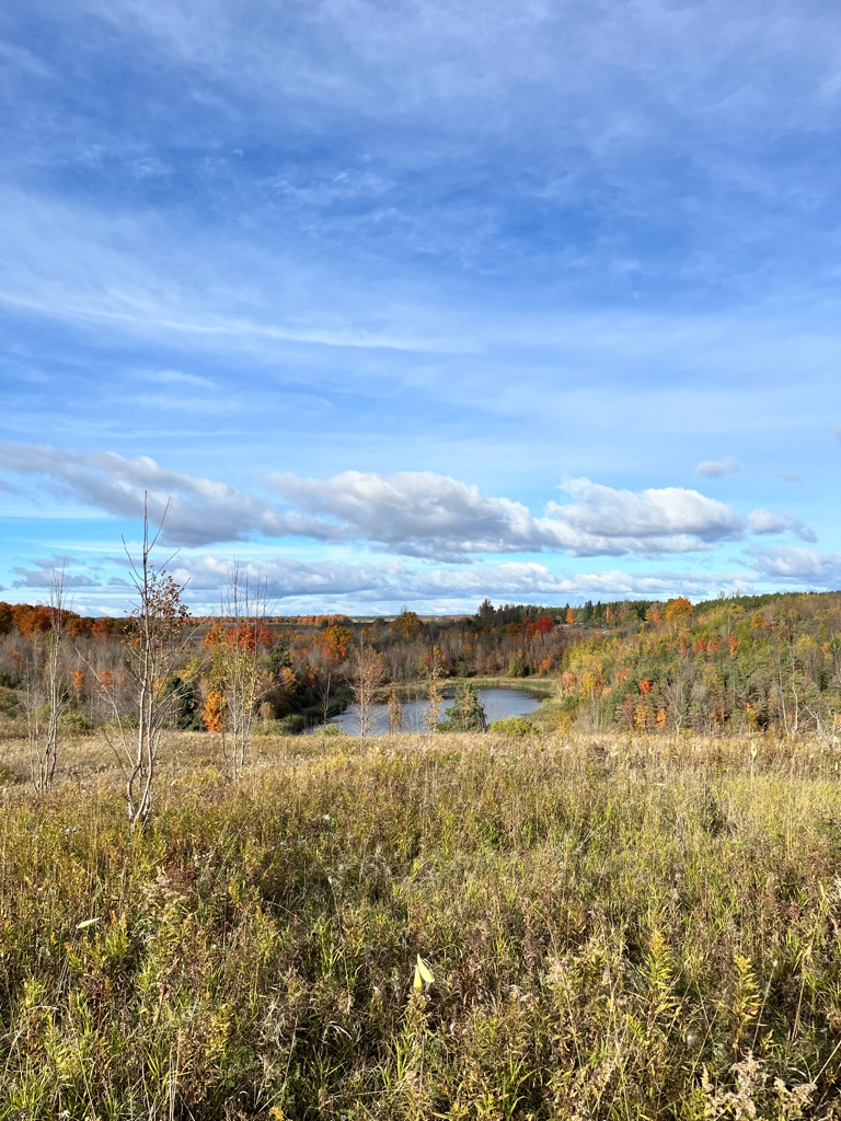
  • The Presqu’ile tombolo is the largest on freshwater in Canada, and probably the world. It is the nature of tombolos that they are made up of a variety of habitats, which leads to Presqu’ile’s next significant feature – biodiversity.
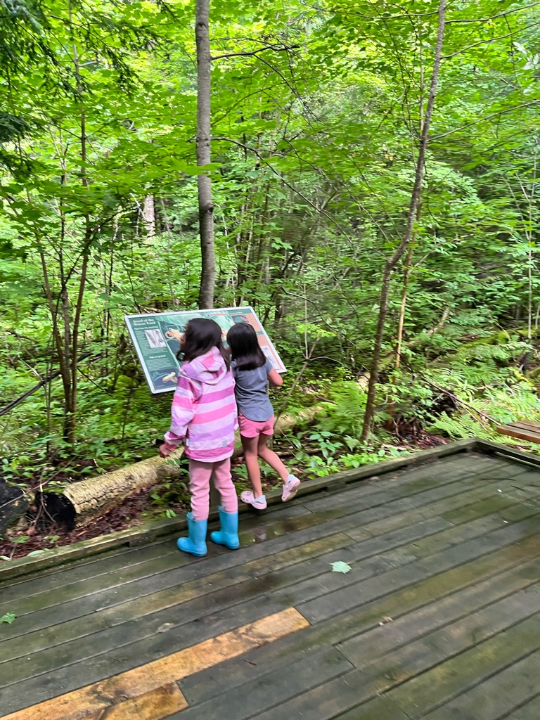
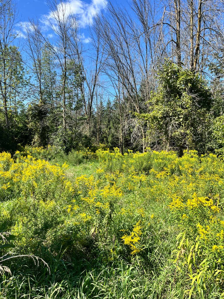
  • Presqu’ile has great biodiversity. For such a small area it has a remarkable eight distinct habitat. More habitats mean more diversity in the plants and animals that live here. Our habitats are sand, beach, dunes, pannes – wetlands between dunes, conifer forest, the deciduous forest, old fields/Meadows, conifer plantations, and the marsh/bay complex. Can you guess which is the rarest habitat? It is pannes, a globally rare habitat. It is best appreciated in spring as a frog reading ground and in the fall when many unusual flowers bloom.
  • Presqu’ile is a migration trap. The tombolo’s position as a peninsula sticking out into Lake Ontario and it’s many habitats makes it a magnet for migrading birds and insects. They rest here after crossing the lake coming north and wait here for the right winds when heading south. Ducks in March, songbirds in May and shorebirds in late May and again in September, significant concentrations of monarch butterflies and green darker dragonflies in early September as they had south.
  • Presqu’ile has fossils. The rocky shorelines have an abundance of fossils that are 450 million years old. This represents a piece of Ontario’s ancient history - the Ordovician sea that once covered this area.
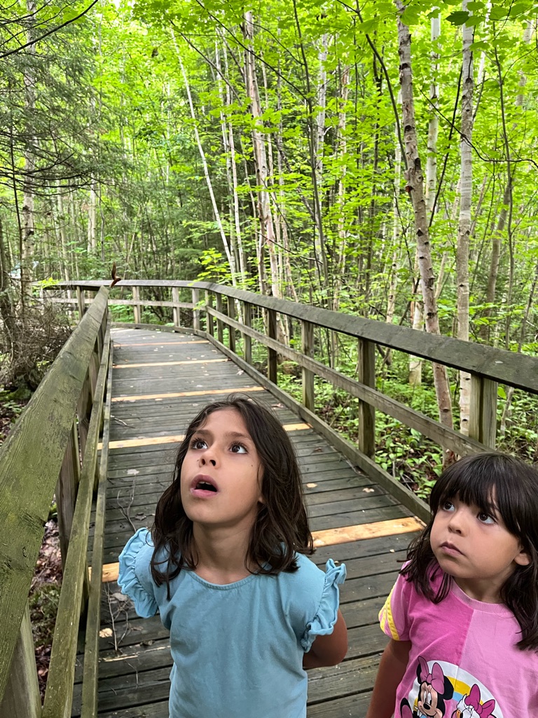
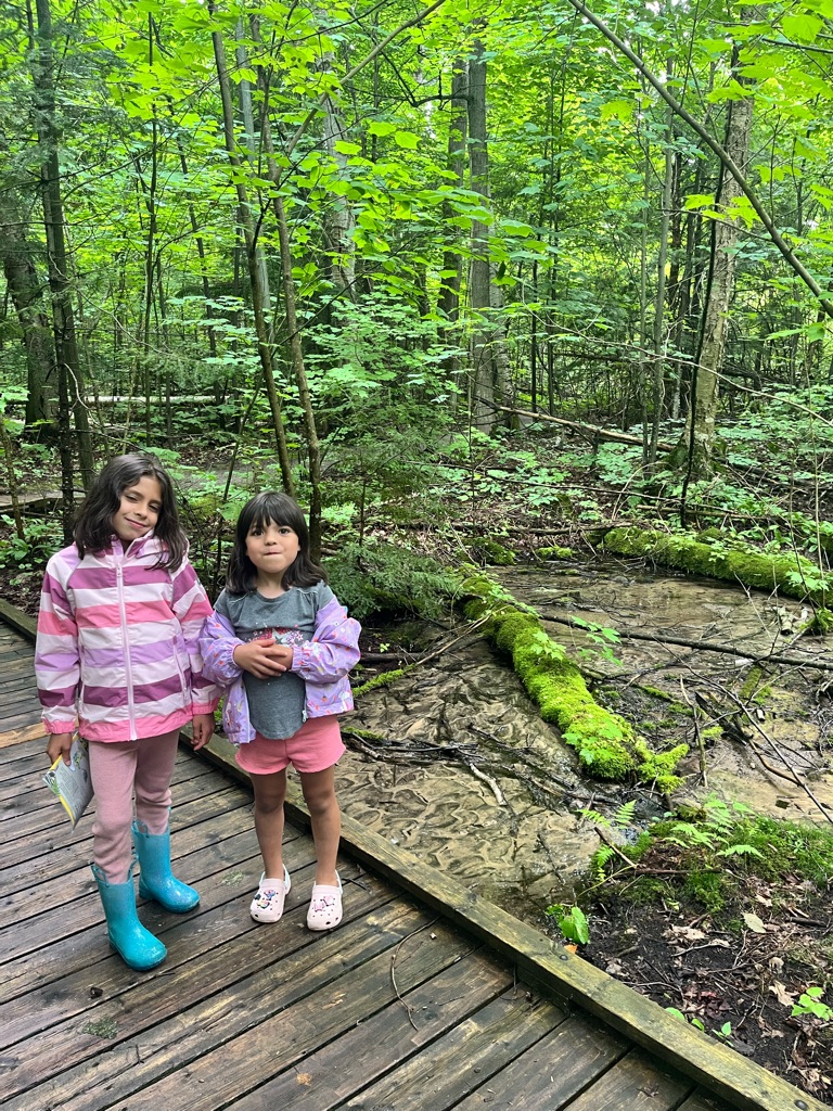
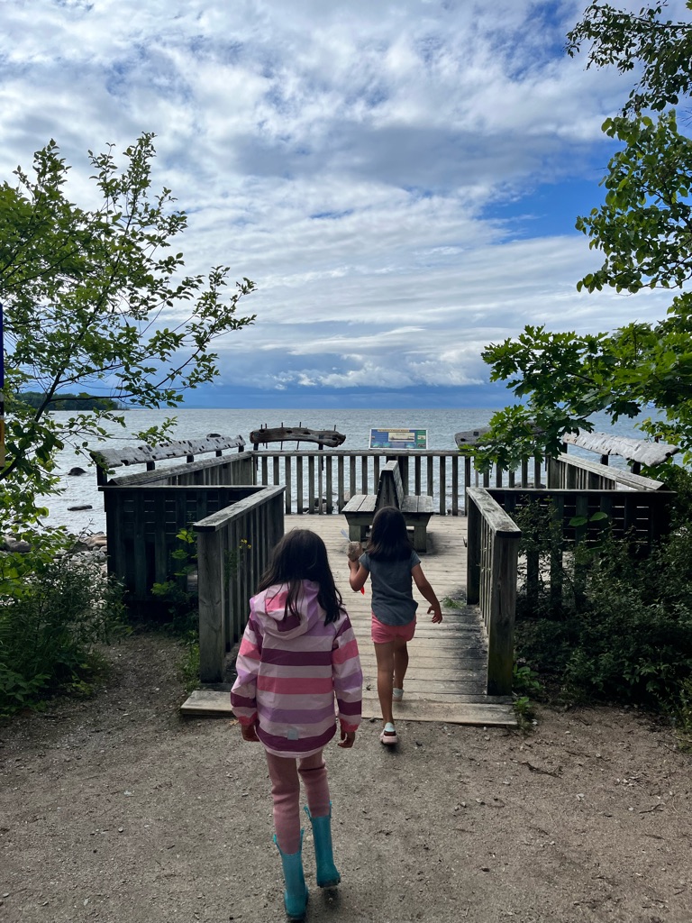
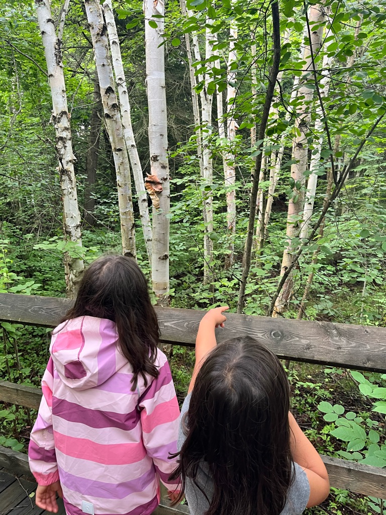
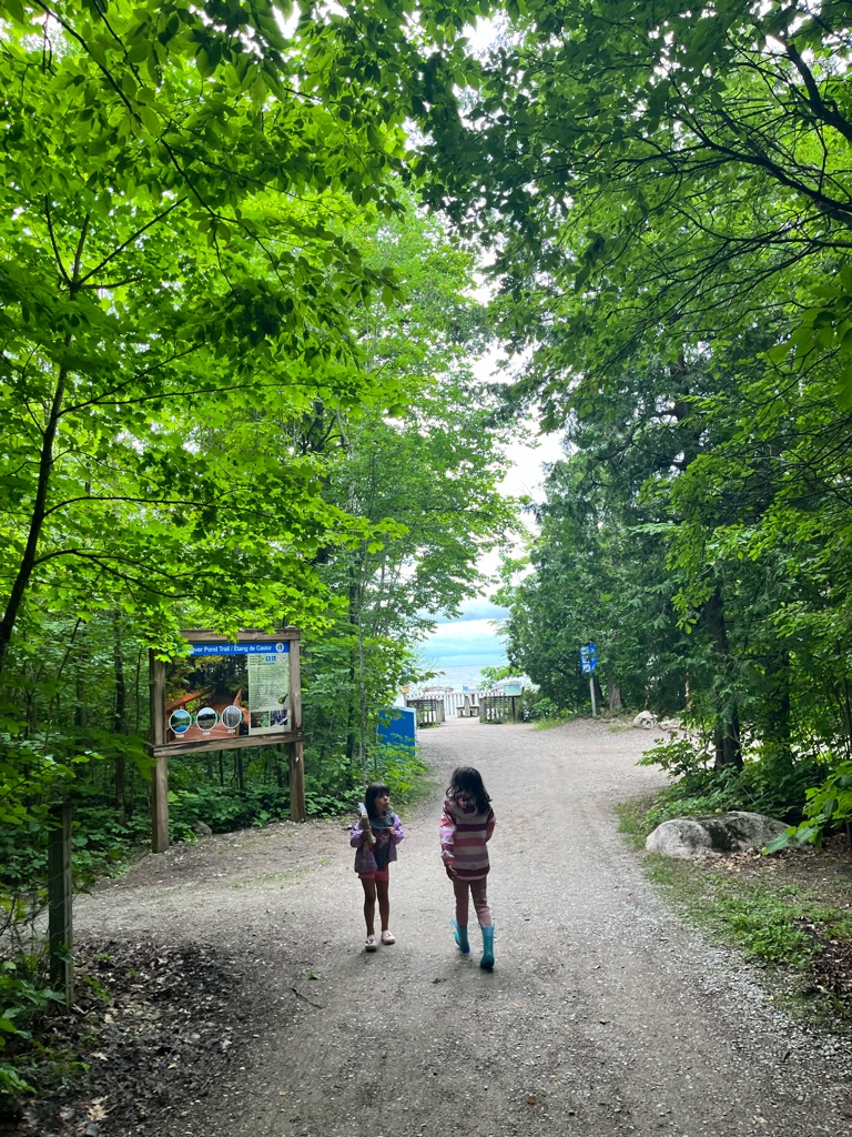
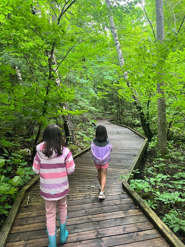
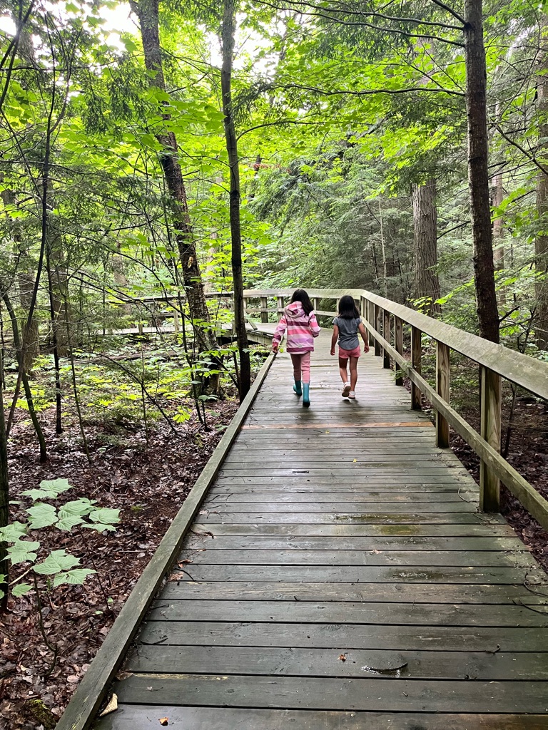
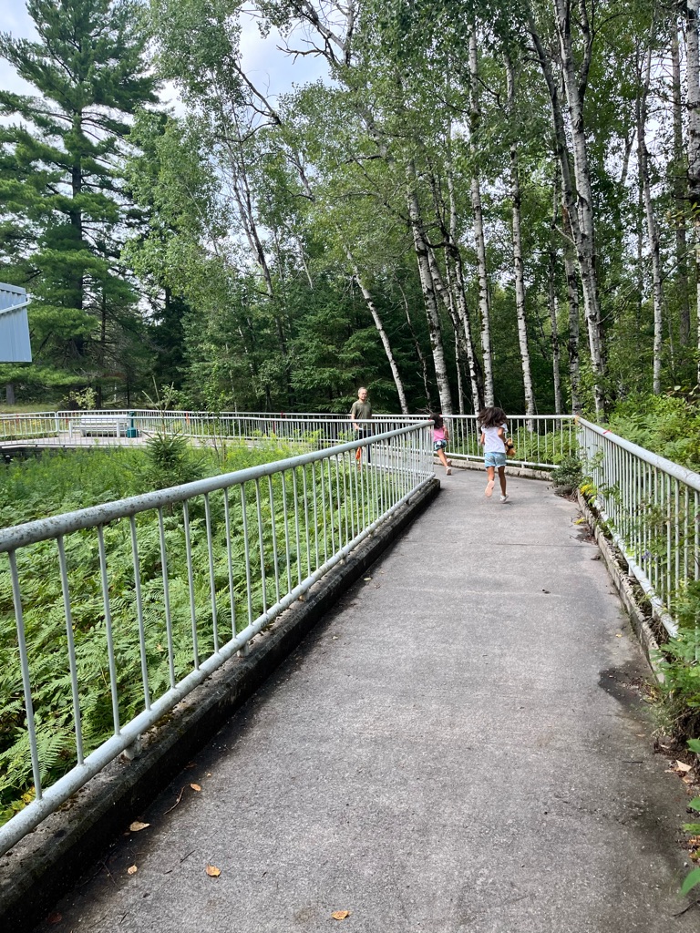
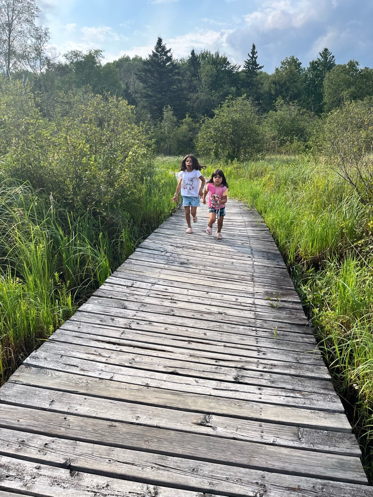
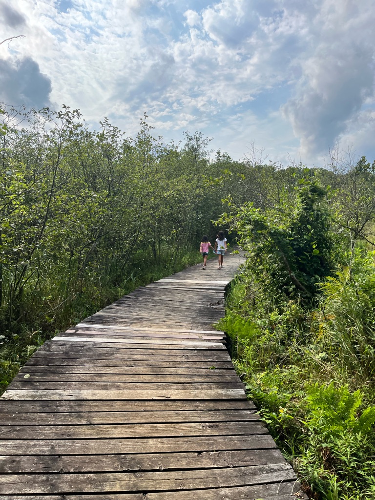
  • Presqu’ile’s marsh is magnificent. The marsh is the largest protected marsh on the north shore of Lake Ontario. It is part of a shoreline marsh system that is disappearing from the shores of our Great Lakes. The best way to experience the marsh is along the 800 m boardwalk.

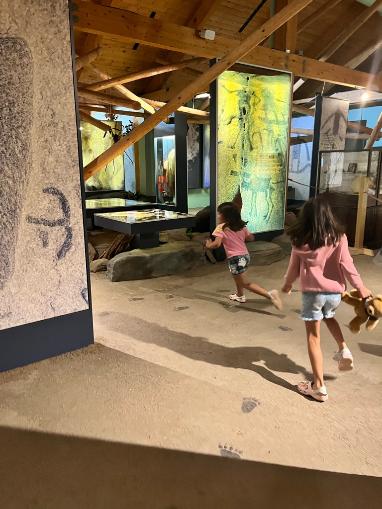
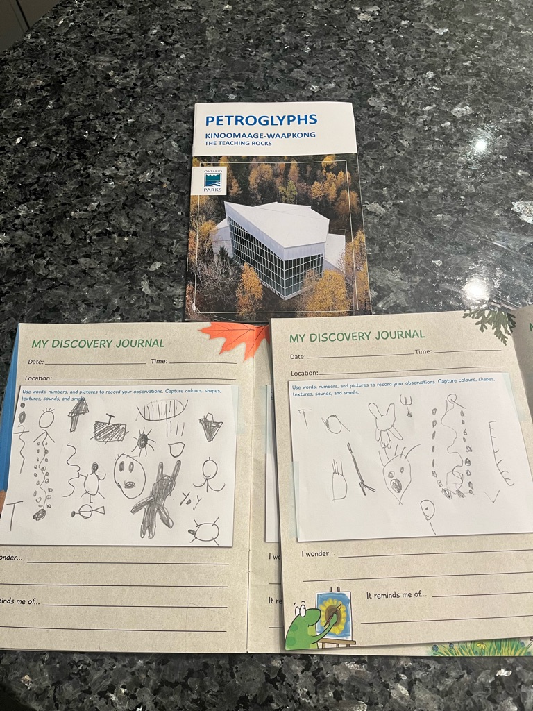
Great resources for kids: https://www.friendsofpresquile.on.ca/

The Ordovician period (425-500m years ago) so the rise of new animal groups are great importance. Bone fragments are evidence of the oldest vertebrates, but we do not yet know much about these fish like creatures. Here’s how fossil is formed: 1- animal dies, and shell is buried in the sand, 2- sand hardens to rock, shell interior unfilled. 3. Shell material dissolved. Cavity wall is mold of shell. 4. Dissolved chemicals fill mould to form cast.5. Both mould and cast are fossils, replicas of the original service.

3
Royal Botanical Gardens - Arboretum

Royal Botanical Gardens - Arboretum - Lilac dell

Running down the dell ! Dell is a small valley , usually among the trees.

In the Cootes Paradise marshland

Heading to the lilac dell ! One of the largest lilac collections in the world . Over 400 species of the genus Syringa. Time to explore!

Beautiful lilacs

Hickory island in Cootes Paradise marsh in Lake Ontario. Lots of birds!

The beech is like a tent !

Fun facts about American beech

  • Before they ripen, nuts contain a mild toxin.
  • Trees can live up to 200 years.
  • New trees can grow from the roots of dead trees.
  • The wood is so hard that woodworkers soak the wood to make it easier to work with.

Sitting on the pirate ship number 2!

The girls!!

And this is a hazelnut tree - last stop before we go

After spotting a garden snake, we keep exploring - now in the hollow of a tree . Not staying too long here as it is a home of mosquitoes !

Lost in time! What a joy

A beech …. Guess what’s underneath ?

Beech (Fagus), genus of trees of beech family (Fagaceae).

  • Ten species occur worldwide; one, American beech (F. grandifolia), is native to North America. In Canada, this species is found primarily in the East.
    • American beech is usually found with sugar maples on temperate, well-drained slopes. Its leaves decompose very slowly, forming a thick leaf litter which acidifies soil and makes regeneration of sugar maple increasingly difficult.

Having a little break after all the exploring - can you spot a pirate ship in the background ? (The log !)

Heading to the marshland. Native plants provide Indigenous peoples with almost all of life’s essentials. This trail was developed in partnership with the Misssisaugas of the Credit First Nation. It explores plants used by the Anishinaabe peoples, and their connections to culture, language, ecology and history.

Mommy and daddy!!

The lilac dell

RBG’s Arboretum is more like an English landscape park than a garden. As its name implies, this is the place where you can see a wide variety of trees and other woody plants up close. It is especially beautiful in spring and fall.

4
Centre Island

After a week at the YMCA park on the island, we decided to take a ferry back to explore the islands ourselves. A great adventure!

Enjoying the Toronto skyline

Love this flower. Kyra identied the scent.

On the boat

Heading to the Warden island

We saw so many cormorants. Their wing movement is so quick , you feel power

Carousel, carousel

Oh no , someone broke off the stem of my flower!

An egret!

The best shot of the city

On the pier

Why not start with a head stand

Let’s have some tea!

Why not practise some cartwheels before heading to the rights? So much excitement !

And look at us!

Bumble bee. Edne decided to skip! We then went to the Ferris Wheel. It was the best.

Heading to the ferry. Destination : centreville!

And yes we like to pose now! At least one of us

At the beautiful island fountains

So many birds!

5
Rockway Falls

What a great outing to Rockway Falls conservation area in Niagara Escarpment and Rock Point Provincial Park on Lake Erie . First, welcome to Rockway Falls!

Guess who this is. Black wings, blue green twig like body. Ebony jewelwing damselfly!

Here we are at the Middle Falls. It’s spectacular. Layers over layers, with flowing water. The water was quite warm.

Found two frogs. Real frogs this time!

Picnic time. Why not on a gigantic bench!

Enjoying the bridge! The trees along the valley are Basswood, Sugar Maple, Black Walnut (Edeb kept finding the halves of the walnuts!) and Sycamore. The falls are on the edge of the Niagara Escarpment and were formed by glacial erosion.

Our measuring stick! No clorineof course ; good PH balance; on the soft side.

Eden on a mission

We’ve arrived to Rockway! Heading down to the gorge.

Kids photo!

And sending love.

Now in the gorge walking along the Fifteen Mile Creek. Rock climbing was the most popular highlight of the day among all. Aayan even wrote in the diary when everyone settled in on the way back, \240‘more rock climbing!’

Here are the two frogs!

Got you!

Here is the little guy!

Someone is in charge! Kids splashing, squirting, and exploring.

Found a toad under the roots of a tree! A big discussion on the difference of frogs and toads. Toad’s skin loses moisture less easily than the frog’s, so toads venture out into the forest.

Enjoying the moment!

We think it’s tadpoles.

Mommy and daughter, forest bathing.

Exploring some more!

And lots of contemplation!

A special YMCA island camp bond. The two spent a week at the island camp in the same group..

Alice in wonderland!

Lots of animation!

6
Rock Point Provincial Park

And now part two of the day . We are heading to the beach at the Rock Point provincial park!

Well we did make it to the Fossil Beach! It’s a giant rock that has fossils from coral reefs. We just didn’t know we made it! We also lost a shoe on the way. What an adventure. For Aazlan the place where Aayan found the show was the most memorable place of the day! Kids did great. Lots and lots of exploration. We had the most wondeful day.

Loving the waves!

The beautiful Lake Erie.

Making a mermaid

Ice cream is a magic touch!

And another mermaid

The beach or Lake Erie. Freedom.

We are water rangers. This is comparing the measurements of Lake Erie to the stream at Rockway falls. The water is clear but very warm at 25 degrees. Likely not ideal for fish.

7
Sainte-Marie among the Hurons

An amazing day on the heels of hurricane Beryl. The rain times it perfectly - it poured when we were driving, dripped and cleared out when we were exploring, and poured again on the way to the cottage . St Marie was an incredible experience . In fact, the girls got a private tour from Mateo , who is studying to be a Jesuit himself. Then we went to Awenda Provincial Park. An amazing day together.

And a hawk soaring ! Pretty sure based on the shape of wings and how it was gliding that it was a hawk .

Entrance to St Marie .

Girls exploring the pelts - beaver is the most soft . There was also fox , mink \240and a bear (the most rough fur)

Girls are being archeologists digging out animal bones.

Early indigenous pottery.

It all started with us seeing 4 wild turkeys that then got spoked and were running away from us !

17th century trade routes. Yellow - Wendat; dark grey - Iroquois; blue - French ; red - English ; orange - Dutch

A museum of artifacts. St Marie was founded by Jesuits in 1639. For a decade, it was a major French community and the first European settlement in Ontario. By the winter of 1638-1639, Hurontario was so ravaged by disease and conflict that the Jesuits abandoned and burned it and moved with some Wendat followers to Christian Island. The following year the Jesuits and Chistians withdrew to Quebec.

The charred remains of timbers uncovered by archeologists.

8
Awenda Provincial Park

And now to Awenda!

9
Wasaga Beach Provincial Park - Beach Area 3

Wasaga beach has great sand dunes and great waves. It is the longest fresh water beach in the world. There are lots and lots of grains of sand everywhere!

Look at this feather!

Nothing beats jumping in the waves! Particularly with friends!

Building sand structures

10
Wye Marsh Wildlife Centre

Still trying to get the attention of the frog.

And here is a frog!

A little break!

Looking for frogs!

The beautiful marsh.

Heading back . A great day !

This is a red tailed hawk.

This is a rescue Great Horned Owl. It has big talons!

11
Petroglyphs Provincial Park

Peterborough Petroglyphs is one of the largest concentrations of prehistoric rock carvings in Canada. It is located on an outcrop of white marble on the Canadian Shield. The images were carved by Algonkian Speaking peoples between AD 900-1400. There are sveeeal hundred images including 14 turtles! Oral history suggests some of the petroglyphs are over 6000 years old.

Just before we go into the building with the petroglyphs.

The deer gives its skin to be made into clothing. The soft hide gives warmth and protection. This is Aileen Irons of Curve Lake.

Beautiful flowers that the girls drew in their discovery journal!

A little snack on a special blanket before we go in.

Good quality.

A marsh we think but we don’t know which one it is.

Testing water.

Lunch before we head out.

It all starts with popsicles and a movie! We learned about these rocks being teaching rocks. This image is of Nanabush spirit. He is a very important teacher who showed people how to hunt, trap, fish and use medicinal herbs. This spirit is also a trickster, showing people humility.

Spot a butterfly.

Heading to a marsh now! Lots of roots of trees.

And now purple flowers.

Heading back!

Following footprints in the museum.

Look at this creature! We think it is a millliped. It has so many legs. We saw three of these in the park.

This ash tree is 46 years old after counting all the rings! The park ranger is using the ax to soften the bark so that the rings of bark come out layer by layer to be used for the basket weaving.

Heading to the petroglyphs! No photos beyond the fence are allowed as it is a sacred site.

And bugs!

Entrance to the park - took us time to figure out where it is!

Heading to the visitor centre , hopping on the Canadian Shield. The girls figured out that it is Canadian Shield right away.

The marsh!

Did you know this piece of the birch bark will become the base of a 4 ft canoe? Did you know if you rub your hands against the birch bark and get the white powder , it is like getting a sunscreen spf 40! The birch bark can be cut only during a certain time of the year not to damage the tree.

The boardwalk through the marsh.

While we could not take photos, the girls made their own representations of the petroglyphs. There is the cycle of life with four seasons, the canoe with peoplec, the man represented by a triangle, the woman represented by a square, the medicine people with their connection to the creator, bear footprints. This is like a library that was compiled over many centuries!

12
James Gardens

An outing to botanical gardens with grandpa ! Ponds, streams , biking !

Humber river . And there is an egret !

Among the geese and ducks !

The egret we think

Counting fish in the pond

Found a water worm !

Biking time !

Is a tadpole ? We don’t think so

On a turtle

With dedushka!

Smelling flowers

Walking on a log !

There is fish in the pond ! Eden counted 10 of them

The blue flower - the girls asked me to take a picture as we couldn’t find a blue flower in the last park we went to and they need it to compete their adventure book

13
Earl Rowe Provincial Park

Earl Rowe park ! Biking and nature exploration ! We met a tiger , a bear , a grassy , a speedy , blue herons and hawks ! Girls loved this sticker park . The park was formed where once there a farm. The public wanted a lake and so the Boyne river was dammed up. The lake Earl Rowe was formed!

On the beach. No sand for my sandals please!

On the real beach.

Looking at the blue herons.

Boyden river. The part of it appeared stagnant.

Found another grasshopper !

Found another caterpillar ! It is fuzzy . It is called wooly bear moth caterpillar , so the girls named it a beary!

Sand rocks !

Biking on a big road now!

Boyne river and three blue herons far away!

Putting it back into nature.

Look at this camouflage !

An Isabella tiger moth caterpillar!

Trying to see if the caterpillar would like some mushroom . The answer : no !

Also looking at the blue herons

Mushrooms !

Going up the Rainbow Run trail . 5 minutes is all it took. The girls said it was too bumpy!

A big grasshopper !

The web in the tree !

Snack time!

Measuring water temperature and quality. The water temperature is higher than the air temperature!

14
Forks of the Credit Provincial Park

What a beautiful thanksgiving weekend . Fall colours . Family time. Explore and connect with nature. Forks of the Credit provincial park lies within the Niagara Escarpment, a UNESCO world biosphere reserve. The Niagara escarpment formed about 450 million years ago during the Paleozoic Era when layers of dolomite, limestone and shale were deposited at the bottom of an ancient tropical sea. Over time , glacial activity and erosion exposed the escarpment, creating steep cliffs, rolling hills, and valleys.

On the trail to the Cataract waterfall.

The waterfall up close.

Playing ‘block daddy’ game!

Fall colours. Evergreens and deciduous trees all in one place.

The Cataract waterfall!

Beautiful reds and blues and greens.

Another meadow!

Tall grasses and fall colours!

In 1968 the Niagara Escarpemny Study recommended that a park be established in the Forks of the Credit area. This officially became a provincial park in 1985.

The area around the park was originally inhabited by indigenous peoples, including Huron-Wendat and Anishinaabe nations. They used rivers and valleys as part of their seasonal migration routes for hunting, fishing and gathering.

European settlers arrives in the early 19th century. The proximity to the Credit River made it a hub for milling and agriculture. Early industries included grist mills and sawmills that relied on the river for power.

With daddy!

Fall colours!

The old tree

And now the entire family! The lighting in the forest was magnificent.

Meadows are key to the biodiversity.

Measuring water. All good! The water on the shallow end is 13 degrees , only a degree lower than the outside temperature.

Playing the Balancing game.

Kettle lake! The kettle lake was left by a glacier 10,000 years ago when a glacier left a small depression and it filled with water.

Kettle lake!

Cattails! And you can actually feel their weight - they are not like a feather.

This plant has seeds that travel on the little parachute.

The girls with daddy!

Running up and down!

The map and our guide to the park! Maroon sandstone trust was used to build the Old City Hall and many U of T buildings came from the quarries here.

Walking through the meadows.

The birch tree bark. People used to use these to write.

Found the same caterpillar as at Earl Rowe. So excited.

The tree is at least 32 years old!

Biking time! Racing down a small hill.

The Credit river is right there at the bottom. And look at this Niagara escarpment!

We are on a ship!

Lots of geological history on display.