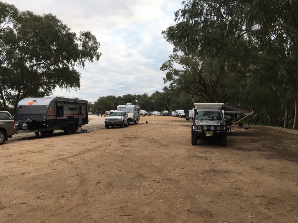
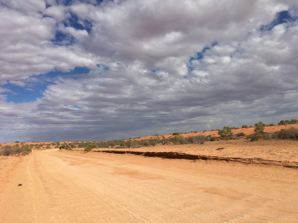
The morning of departure.....

All packed up and ready to go.
We’ve been preparing for this trip for a few months and after the appropriate preparation, we plan to leave home on Sunday 12 May 2019.
We completed a 3 month trip to the Northern Territory and northern Queensland last year during which we visited Kakadu National Park, travelled beneath the Gulf of Carpentaria through to Cooktown and then drove back home again. We clocked up just over 11,500 kilometres.
This current trip has required a little more thought as our itinerary is likely to cover over 14,000 kilometres and will include crossing the Great Central Road between Yulara in the Northern Territory and Laverton in Western Australia - almost 1,200 kilometres of unsealed road.
Logistics play an important part in planning and execution, so what follows are a few facts and figures (this detail is similar to that found in the ‘Travelling North’ journal):
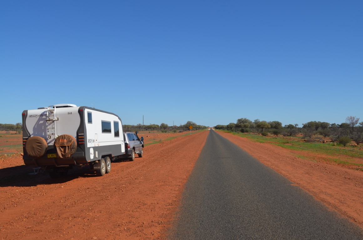
1. Our Toyota Landcruiser 100, powered by a 4.2 litre turbo-diesel, is the vehicle which will tow the caravan. We’ve had the vehicle since 2002 and it’s clocked up just over 355,000km to date. It’s been fitted with long-range fuel tanks (total capacity 270 litres), Lovell suspension, improved muffler, an engine smart chip and additional radiator cooling. We’ve also fitted a Cel-Fi repeater to boost 3G and 4G mobile telephone reception. Although the 100 Series is a solid vehicle, and some would say a superior vehicle in many ways to its successor the 200 Series, its one major drawback is its relatively low GVM (gross vehicle mass) which dictates how much can be carried on board, bearing in mind that this includes the towball weight (which is the weight that bears down on the tow ball once the caravan is hooked on. In our case this is almost 300kg, which means that we’re unable to take full advantage of our long range fuel tanks.
2. Our caravan is a Zone RV 20.6 Off-Road van. Zone RV have been manufacturing caravans (in Coolum Beach, Queensland) for only a couple of years and we bought ours after selling the farm 18 months or so ago. Ours is number 48, whilst they’re presently up to about number 270. The van is a true off-road van and features a closed cell composite body of monocoque construction. This offers rigidity, lightness and a dust-free interior. It has Cruisemaster ASX suspension, airbags to adjust both ride and provision of a level camp base, a lithium battery supported by roof-mounted solar panels, grey water and water tanks, an ensuite which includes a shower, toilet and (very small) washing machine, TV with a roof-mounted satellite dish and a few other ‘goodies’ which make it one of the most comfortable ways of travelling the bush.
3. Our original plan for this trip was to travel anti-clockwise from home to Alice Springs, travelling almost due west across the Great Victoria Desert to the Western Australian coast, down to Perth and then home via the coast. However, we became aware that the number of visitors to Ayers Rock (I refuse to call it Uluru and risk being called out by the ‘thought police’) during the middle of the year would make it almost impossible to find any accommodation - even caravan accommodation - and therefore decided we should reverse the itinerary and travel clockwise instead. So our planned itinerary, after attending the Music in the Mulga country music festival near Eulo in Queensland, will take us across the Strezelecki Track, Flinders Ranges, down through Port Lincoln and then along the coast to link up with the Eyre Highway into Western Australia. We’ll visit Esperance and travel to Perth via the Great Southern. Once there, we’ll leave the caravan, \240fly back home for five weeks, attend to all manner of ‘things’ and then return to Perth. From there, the plan will be to drive across to Laverton, link up with the Great Central Road to Ayers Rock and find our way home from there. But that’s just a plan!
4. Logistics represent an important part of our planning:
As we’re restricted to a finite fuel capacity, we’ll refuel as often as possible but we’ll carry reserve fuel in the form of jerrycans on the caravan drawbar.
Similarly, water is an issue, as we don’t want to be carrying water unnecessarily and expending more fuel in towing it around - so we’ll have to be careful in using this precious resource.
Fortunately, power to the van is less of an issue as we have solar power, nevertheless, in the event of excessive cloud cover, we have a generator on board as back-up.
Punctured tyres are always a possibility, but we hope that the three spare wheels we carry (the vehicle and the van have the same wheels) will be sufficient.
Health and safety are, of course, paramount. Apart from the obvious First Aid and Snake Bite Kits, we will be carrying a Garmin InReach SE satellite communicator. This would allow us to communicate, via satellite, emergency support resources, should we find ourselves in strife somewhere out of normal telephone range. However, the plan we have only allows us to use this for emergencies so we won’t be using it for routine communications.
5. We hope to post via this link regularly but this may not happen for a variety of reasons including lack of communications, insufficient time, nothing to report or laziness! The journal is designed to \240plot our progress on a map. Both of us plan to contribute to the Journal...
6. Some of our trip will take us through country that is not readily identified on a map and so we’ll refer to places using ‘What 3 Words’. This is a fairly recent addition to mapping technology and can be found at the following web address: www.what3words.com. In this way, we’ll be able to identify our position within an area of 3 metres x 3 metres, simply by using a three word address. Free apps (both Apple and Google) are readily available.
If you’d like make contact with us whilst we’re away, Ann’s email address is: frosty1803@bigpond.com and David’s is: gwerna@bigpond.com
We trust you enjoy following us on our journey.
The morning of departure.....
All packed up and ready to go.
![]()
![]()
![]()
![]()
![]()
![]()
OR
Copy the link to @yilgiddie Journo below
Extraordinarily, we were pretty well organised prior to leaving this morning, although our planned 09:00 start didn’t eventuate until 10:00.
Furthermore, we were just about to drive past Sharpes Beach (perhaps 3 km from home) when we reminded ourselves that it was almost time for our daily coffee fix, so we pulled up beside the coffee van just in time.
Then it was really off for our big trip.
Our itinerary took us through Lismore and Casino, up the Great Dividing Range and past several kilometres of bush that had been burnt out earlier in the year and already showing signs of strong recovery (tell that to the Greens who would prefer not to recognise the advantages of regular controlled burns), through to the rolling pastures of Tenterfield. The evidence of overnight frosts would have brought despair to many graziers. Beyond Tenterfield, where we were told that the overnight temperature had been -4°C, we drove through the Dumaresq Valley to Bonshaw Weir. The valley sits in a flood plain and so is exceptionally fertile. We passed several kilometres of citrus orchards and then vast swathes of cotton fields.
Bonshaw Weir is located a few kilometres north of the small town and offers free camping (no facilities) for travellers. An ideal spot for us.
A short day to start our trip.
Total km today: 294
what3words: decency.misfits.rusts


![]()
![]()
![]()
![]()
![]()
![]()
OR
Copy the link to @yilgiddie Journo below
We were away by 7:45 this morning after a coolish night.
An uneventful day’s driving which took us through Goondiwindi and St George (where we stopped for lunch beside the Balone River). The roads, although sealed, were fairly ordinary and \240characterised by poor foundations resulting in a \240very bumpy ride.
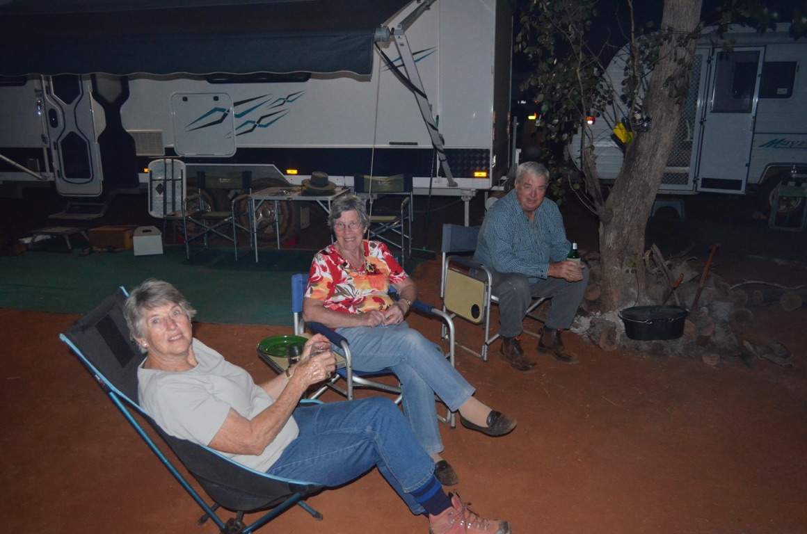
After arriving at the free camp at Bollon, we were greeted by about 40 other caravans, however, we found a spot beside the river. Shortly after our arrival, some friends also arrived. We had first met them at the previous music festival we attended and then twice during our trip last year in Queensland. Just in time for a cuppa, followed by ‘happy hour’.
No photos today.
Total km today: 441
Total cumulative km: 735
what3words: tonality.bronzed.stat
![]()
![]()
![]()
![]()
![]()
![]()
OR
Copy the link to @yilgiddie Journo below
An early start to the day. We drove out of Bollon at 7:45.
Cunnamulla was 160 km to the west, with no towns or communities along the way. Of course, there were many farming operations with their associated homesteads to be seen, but nothing to tie them all together other than the road itself.
Farming was a mixture of cropping and stock management, with the latter representing the major activity. The drought has created a huge problem for everyone, with most of what remained of any vegetation being almost entirely eaten out. However, the locals reported that recent rains had offered some hope for better times ahead, but it was going to take a long time for everything to come back again. Having almost entirely de-stocked their properties, getting back to ‘normal’ will take a long time. A recent newspaper report stated that Australia will need to import grain this year - the last time was 10 years ago.
We visited Cunnamulla two years ago when the town looked relatively prosperous, but the drought has clearly hit the town badly as evidenced by closed shops, shorter opening hours and a general feeling of despair - except when we visited the town’s supermarket and the hive of activity created by the recent arrival of the weekly supply truck.
We met up with our friends again and, after a morning cup of coffee, agreed to rendezvous at the Eulo water tank at midday where we would connect with another couple. Eulo was a short 69 km to the west.
Wandilla Station, where were to stay for the next several days, was 17 km south of Eulo and mainly on a dirt road. We spent the rest of the afternoon setting up camp and settling in.
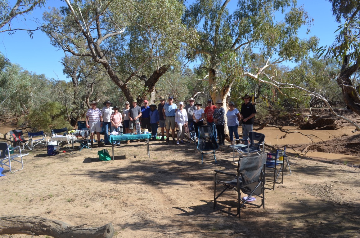
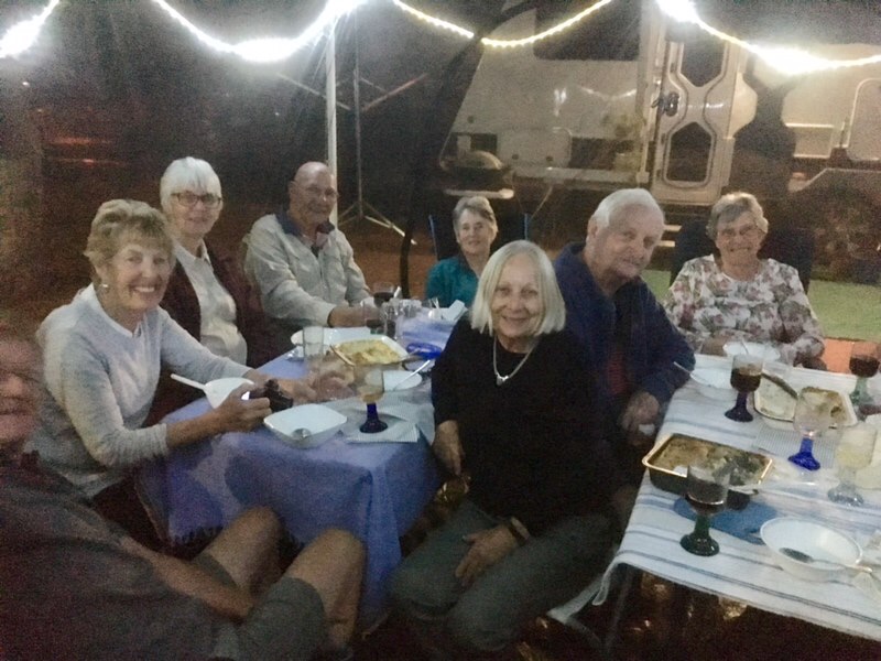
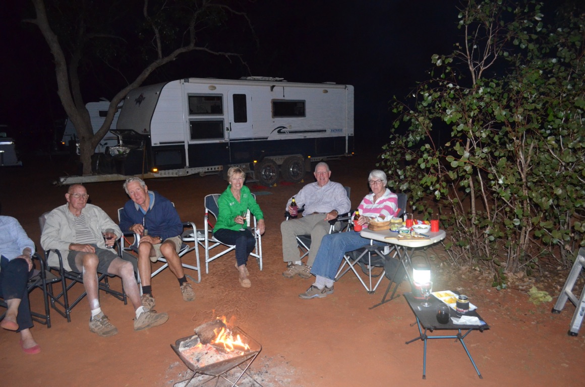
Later in the day, three more caravans arrived, making our posse a total of 9 vans and 18 people. After the new arrivals had settled in, the wood fire was lit and drinks and nibbles were produced.
Total km today: 269
Total cumulative km: 1,004
what3words: collage.juicing.dockside
![]()
![]()
![]()
![]()
![]()
![]()
OR
Copy the link to @yilgiddie Journo below
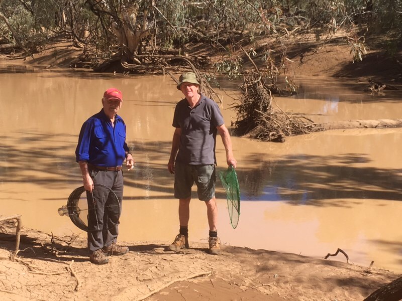
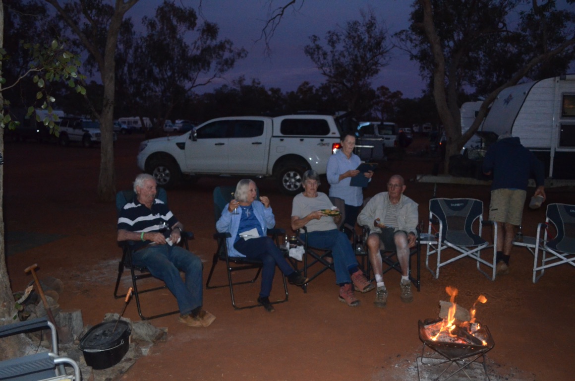
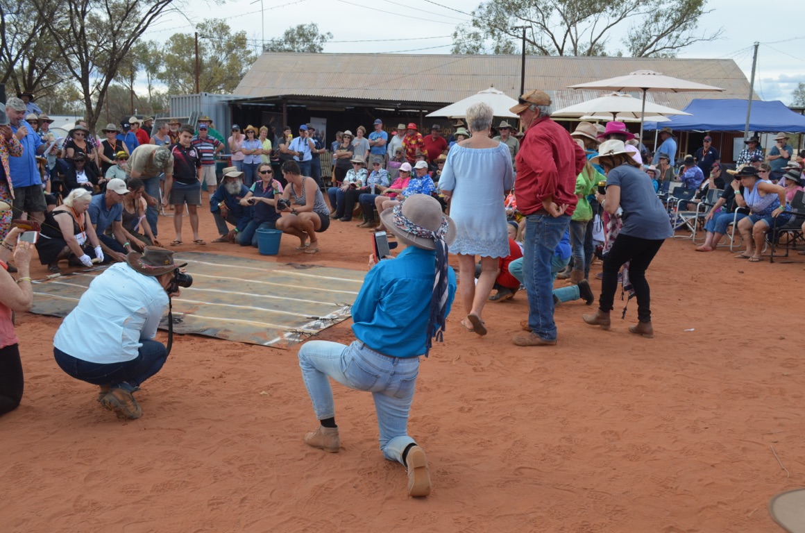
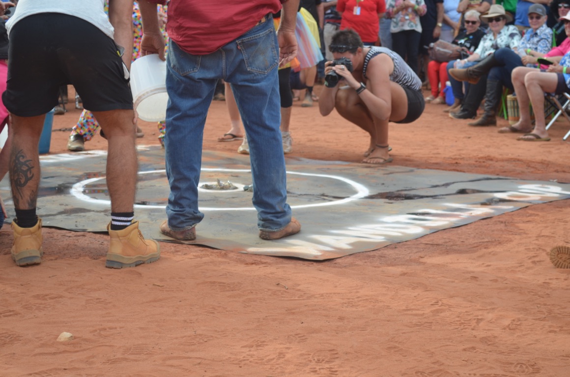
The plan this morning was for the group to drive a few kilometres north west of the station, place some pots in the Paroo river and, whilst we had morning tea, hope that a few yabbies would take the bait.
The plan was just a plan! Morning tea was most enjoyable as most of the women had produced scones, cream and jam, cake, pikelets and tea and coffee. However, we learnt that one of the stationhands had dropped a number of pots in the river several days previously and, today, had found only one yabbie. So we decided not to waste our time. There was a dual purpose in netting yabbies. The first was to contribute to a planned 36 which were to be used in a yabbie racing competition during the weekend - the idea being that a group of people would buy a yabbie and then everyone would place bets on a number of races, culminating in a grand final, the winner of which would win a cash prize. All proceeds from the festival, including the yabbie competition, would go to a nominated charity. The second reason for \240stating yabbies was that one of the women in our group makes delicious yabbie laksa and it was hoped that we’d all catch enough to produce a meal for the group. Unfortunately, it was not to be.
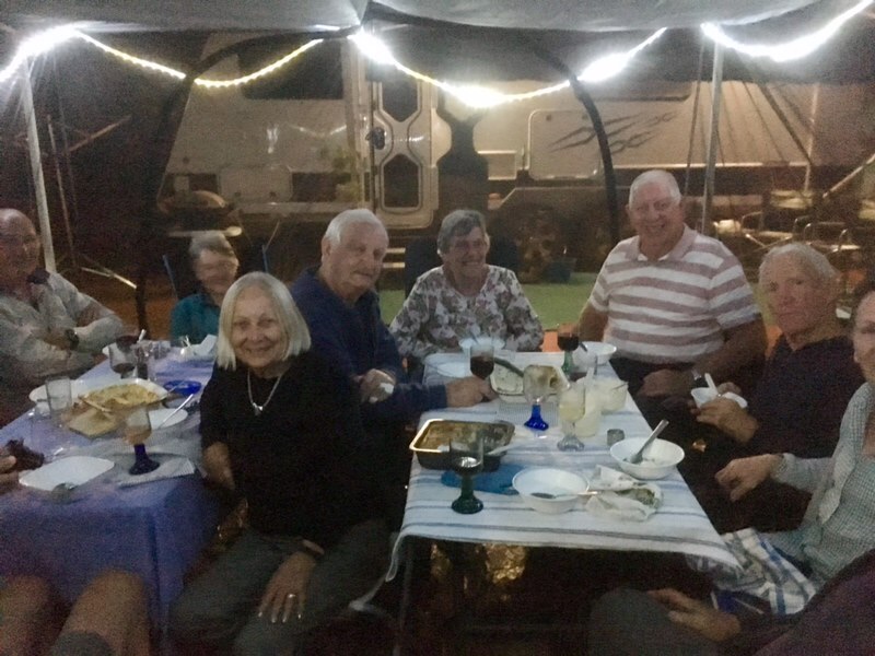
During the afternoon, the women prepared a meal for everyone, based on both the beef and chicken being pot-roasted. A suitable fire was lit and the meat allowed to cook for almost two hours. One of the couples had brought an enclosed gazebo with them and, in order to avoid all the flying insects, we all fitted inside this and enjoyed the meal which included three bread and butter puddings, all washed down with the wine or beer of choice. After clearing up, another in the group began to play his guitar and sing country and western songs for us around the fire. An enjoyable evening.
Total km today: nil
Total cumulative km: 1,004
what3words: collage.juicing.dockside
![]()
![]()
![]()
![]()
![]()
![]()
OR
Copy the link to @yilgiddie Journo below
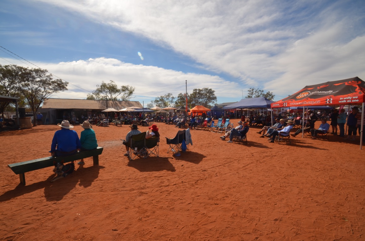
For most, the morning and early afternoon was devoted to administration and logistics, interspersed with suitable breaks for morning coffee and lunch.
Also during this time, the last of the caravans arrived.
An early dinner was eaten, as the festival began shortly after 6:00 pm.
Total km today: nil
Total cumulative km: 1,004
what3words: collage.juicing.dockside

![]()
![]()
![]()
![]()
![]()
![]()
OR
Copy the link to @yilgiddie Journo below
We discovered this morning that the caravan’s hot water system wasn’t working which necessitated using the kettle to boil water for washing. Much of the morning was spent reading through the user manual and, subsequently, ringing the caravan manufacturer for support. Short story - still no hot water, so we’ll need to make do until after the weekend.
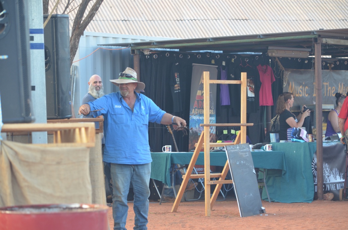
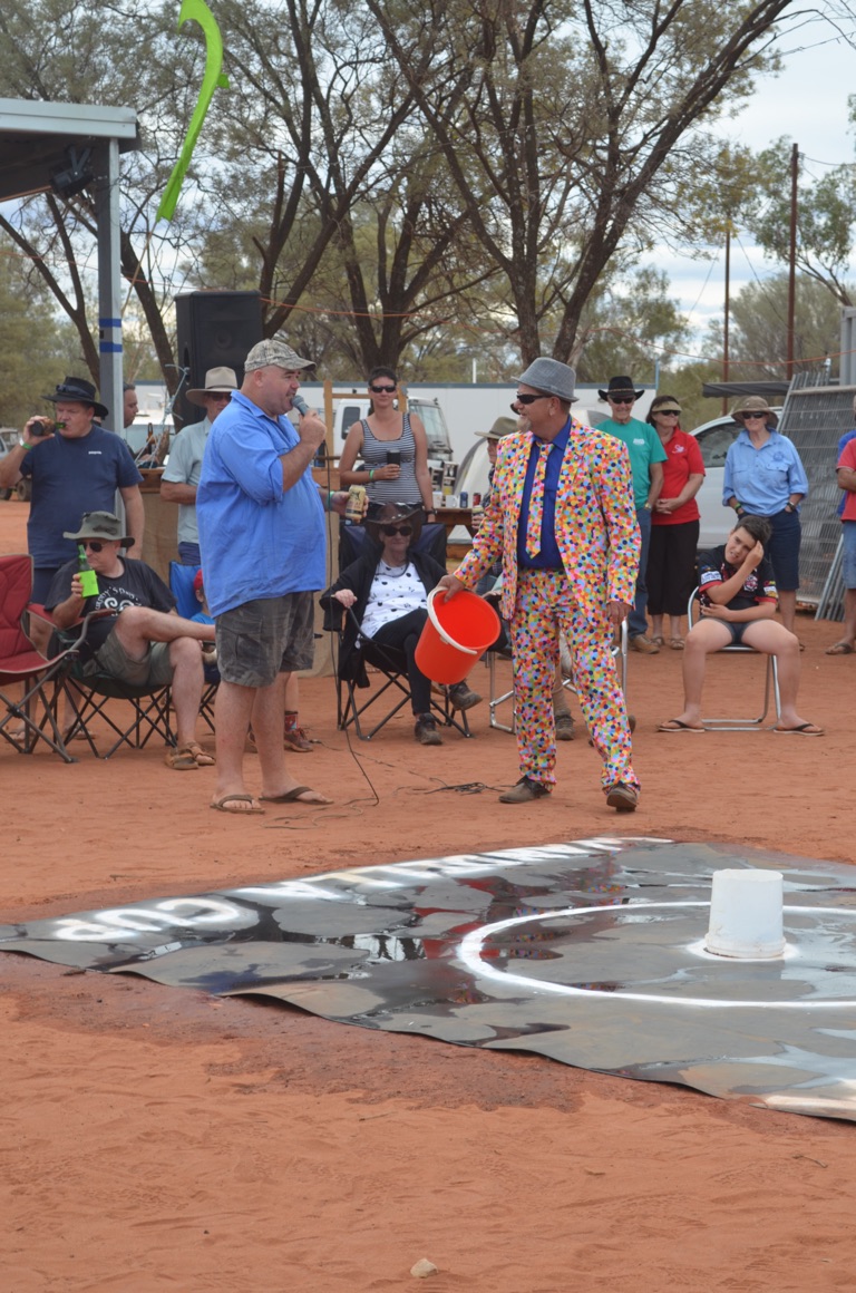
More music this afternoon, followed by the auction to purchase yabbies for the ‘Wandilla Cup’ and all the heats leading up to it. This year, because of the shortage of yabbies, only 18 were caught (rather than 36 in previous years) and offered for auction. The races were to take place on Sunday. All up, the auction raised just short of $4,000 in support of the charity nominated by the organisers. This year all proceeds were to be donated to a local farmer and his family - he had very recently lost both legs in a farming accident.
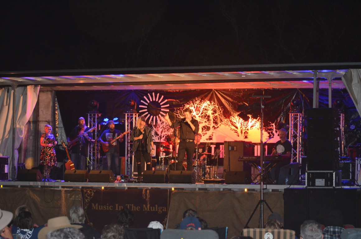
In the evening there was more music from a number of performers, followed by bush dancing.
Total km today: nil
Total cumulative km: 1,004
what3words: collage.juicing.dockside
![]()
![]()
![]()
![]()
![]()
![]()
OR
Copy the link to @yilgiddie Journo below
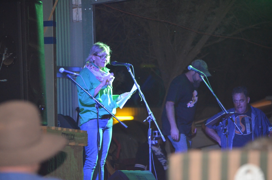
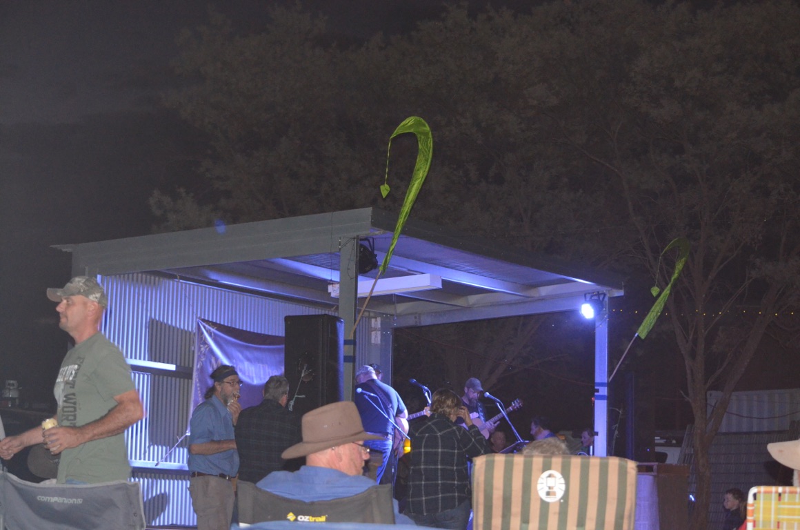
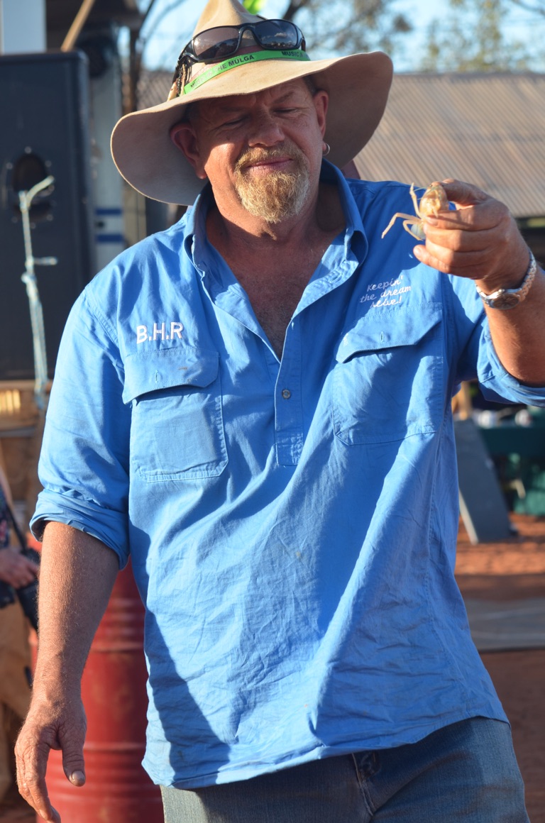
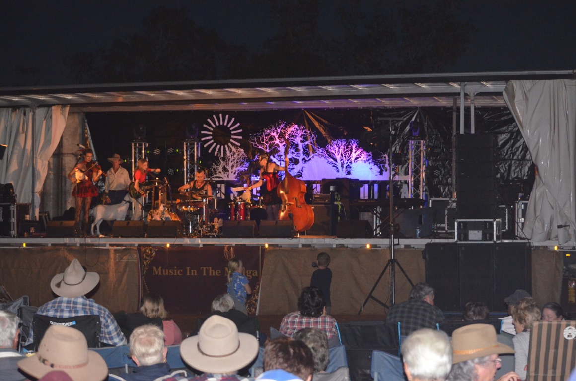
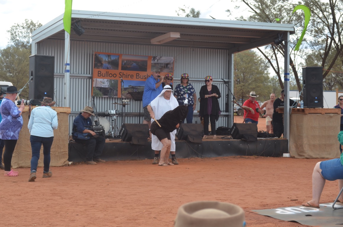
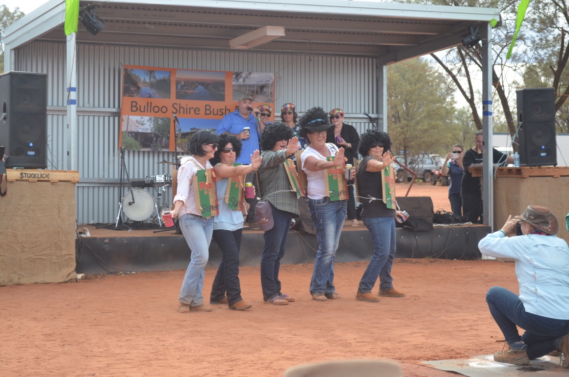
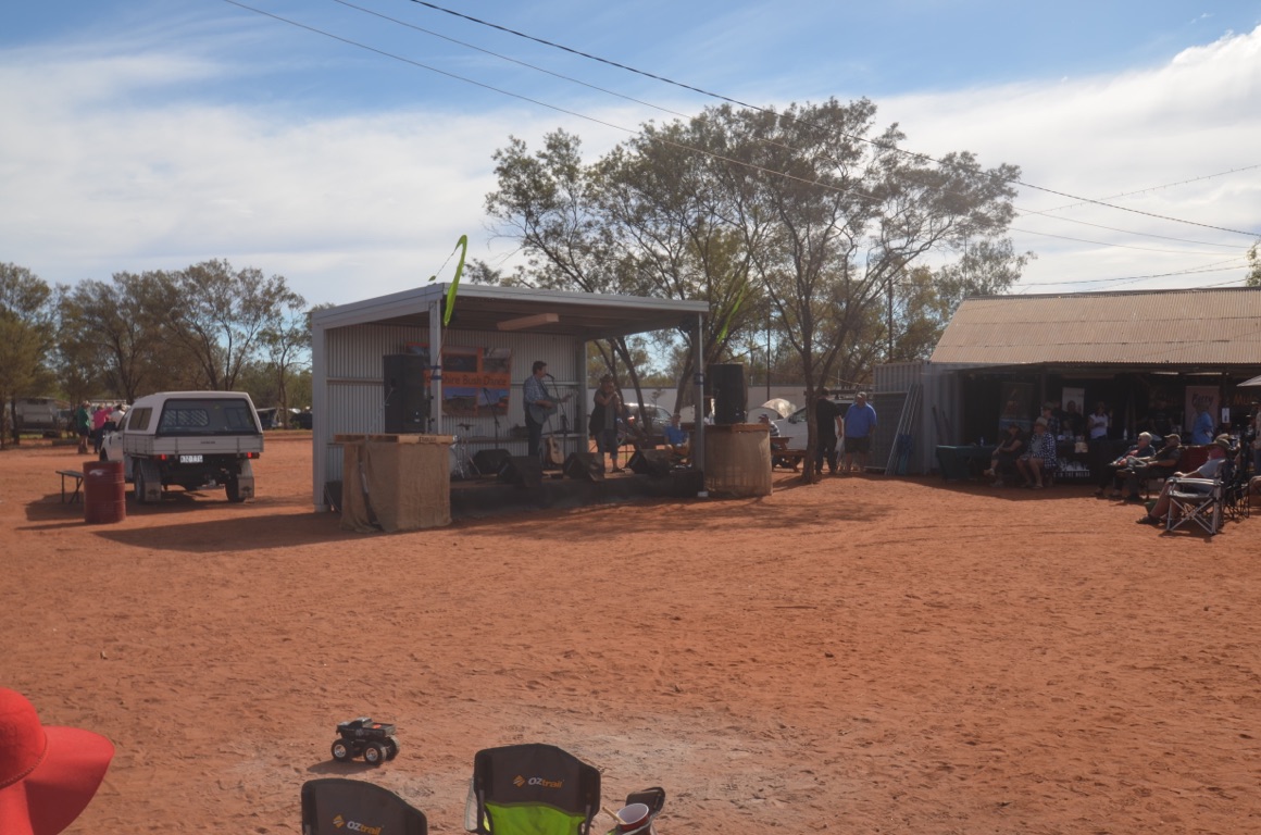
Today was the day when the festival got into full swing.
The first performance was at 11:30 in the morning and continued, almost non-stop, until 11:00 at night.
The outstanding performers, at least in our eyes, were Anthony Taylor: a talented guitarist and vocalist and Adam Harvey. Becky Cole - perhaps regarded as the ‘star’ performer - didn’t come up to scratch and was certainly far less appealing than when we saw her at the festival a couple of years ago.
Total km today: nil
Total cumulative km: 1,004
what3words: collage.juicing.dockside
![]()
![]()
![]()
![]()
![]()
![]()
OR
Copy the link to @yilgiddie Journo below
The people have spoken!
An extraordinary win by the Coalition, especially given the confidence (and cockiness) of the Labor Party in anticipating an overwhelming win.
No doubt the majority of Australians were wary of the big spending and uncosted policies of the Labor Party, together with a number of social policies which would have had the result of dividing Australians into the future.
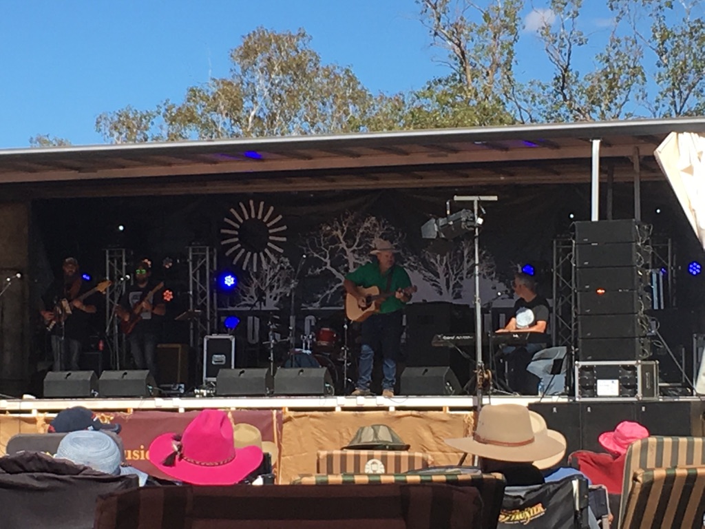
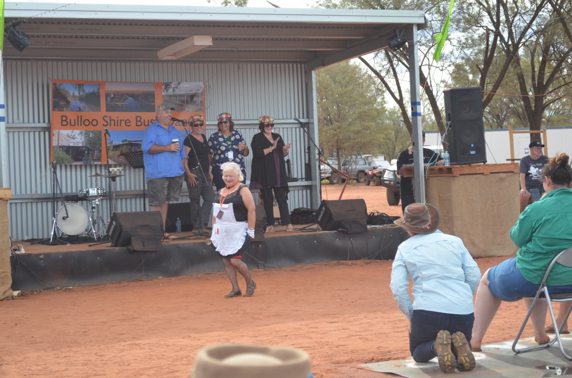
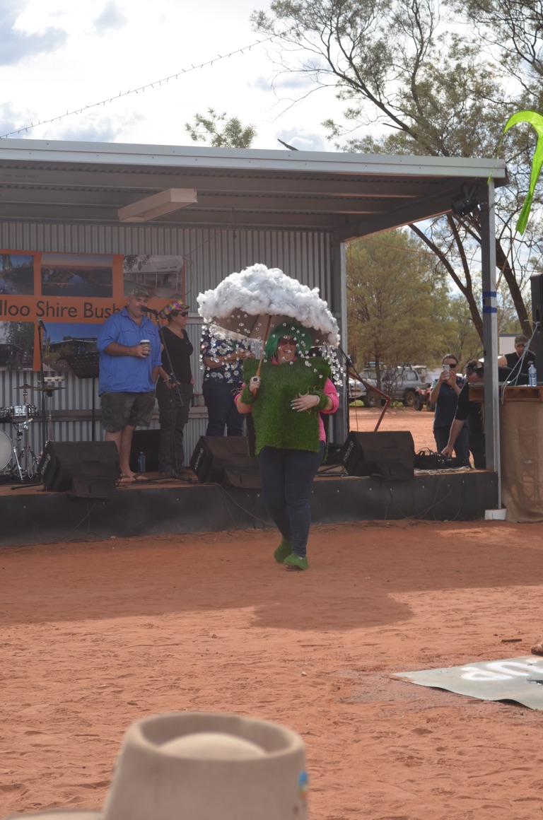
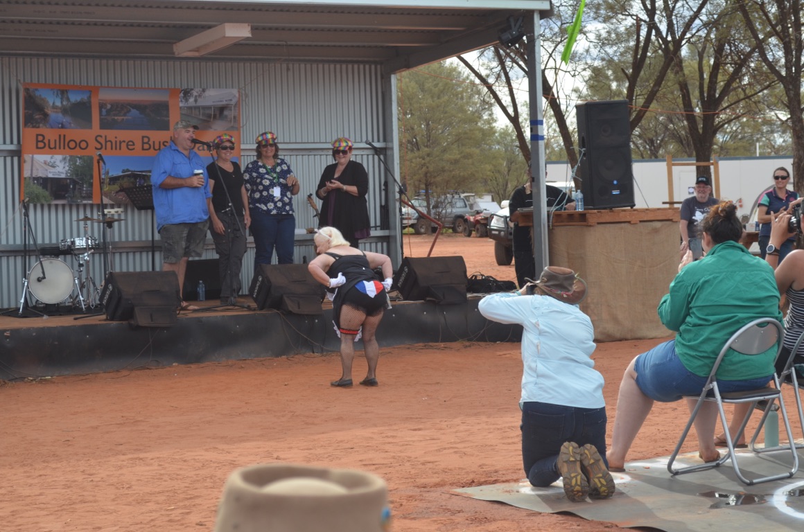
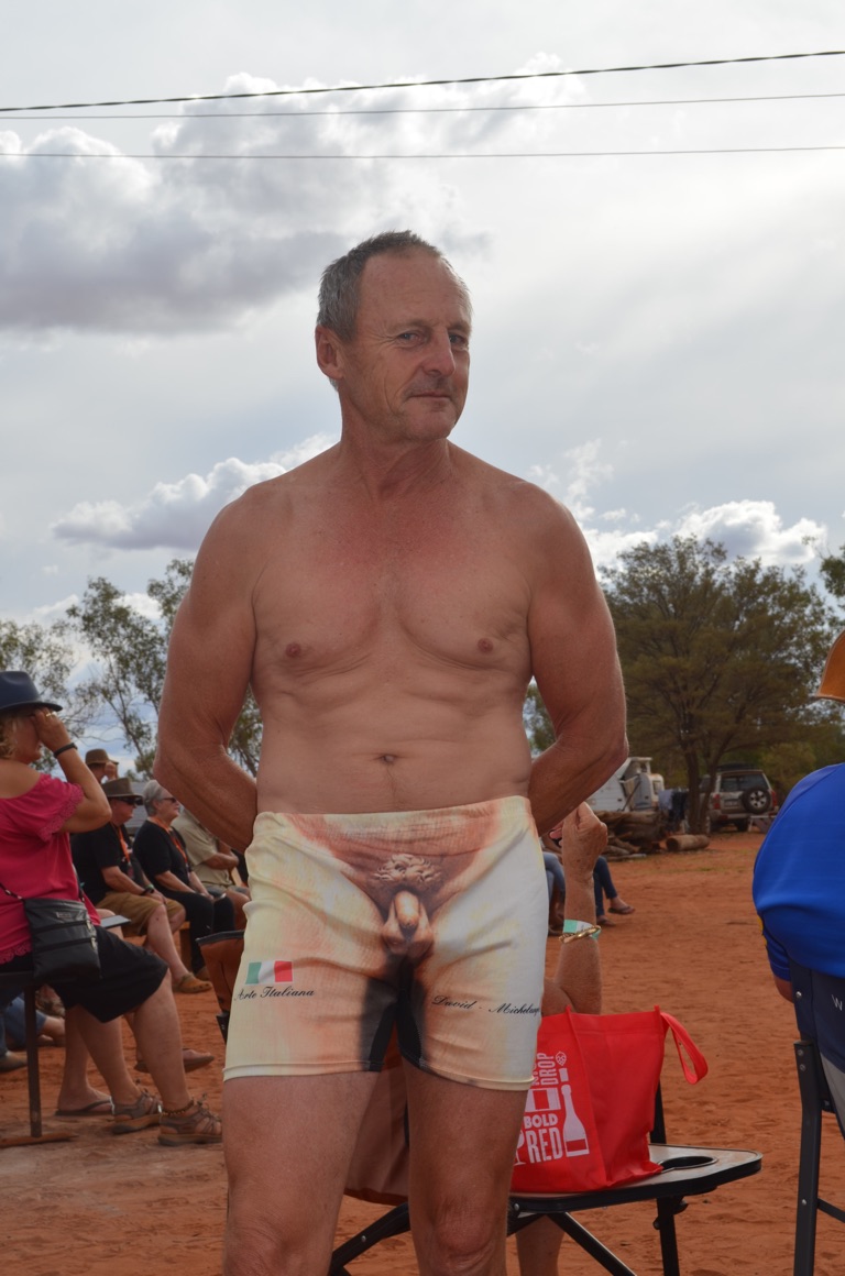
The morning started with some impromptu performances by many of the performers, some of them noticeably hungover from the previous night. Nevertheless, in the opinion of many, they produced far better and certainly more relaxed shows than the main concert. It was a great morning’s entertainment.
The afternoon was all about the Fashion Parade, followed by the ‘Wandilla Cup’ - the yabbie races. Again, wonderful entertainment as the photos will attest.
The final evening was spent around the campfire, enjoying a meal in the gazebo and then returning to the campfire for more stories, listening to music conjured up by someone with a guitar and, of course, toasting ScoMo for his election win.
Total km today: nil
Total cumulative km: 1,004
what3words: collage.juicing.dockside
![]()
![]()
![]()
![]()
![]()
![]()
OR
Copy the link to @yilgiddie Journo below
Camp was struck in the morning and we all farewelled each other and went our separate ways.
We set off for Thargomindah, to the west, and were able to access the Internet again after a few days of (almost) communication blackout.
Total km today: 146
Total cumulative km: 1,150
what3words: impractical.inhales.posse
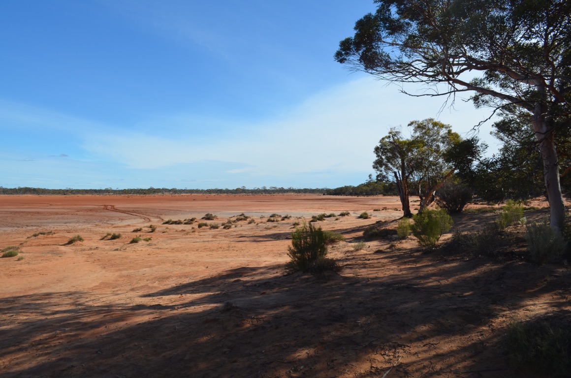
Lake Bindegolly (lunch stop)
Lake Bindegolly (lunch stop)
![]()
![]()
![]()
![]()
![]()
![]()
OR
Copy the link to @yilgiddie Journo below
What a great day!
That is, only after I’d spent 1 hour, 15 minutes on the phone to Telstra to have them make a minor alteration to our mobile account - which they failed to accomplish (expletive deleted).
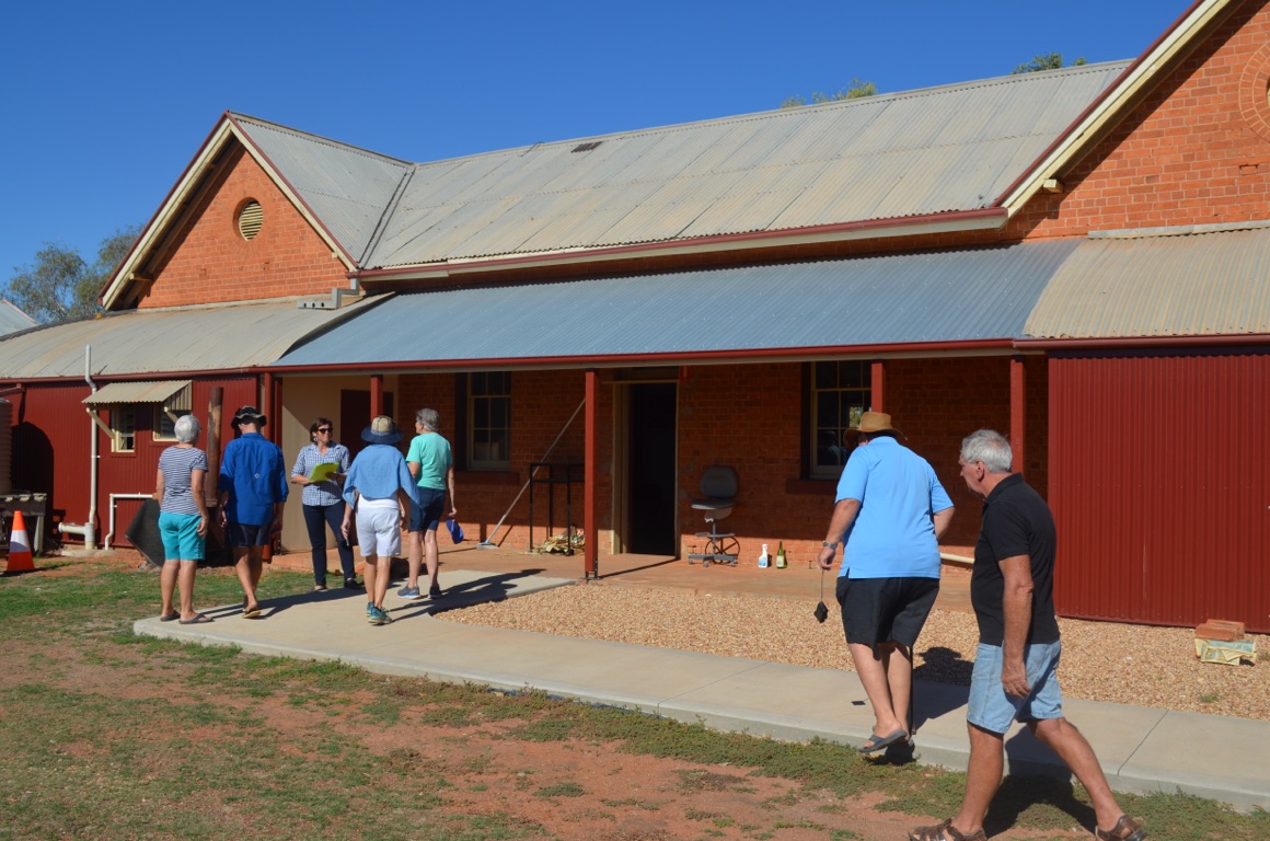
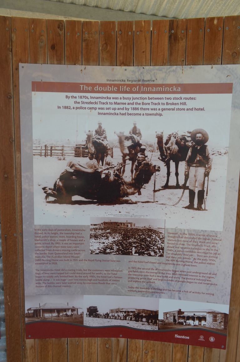
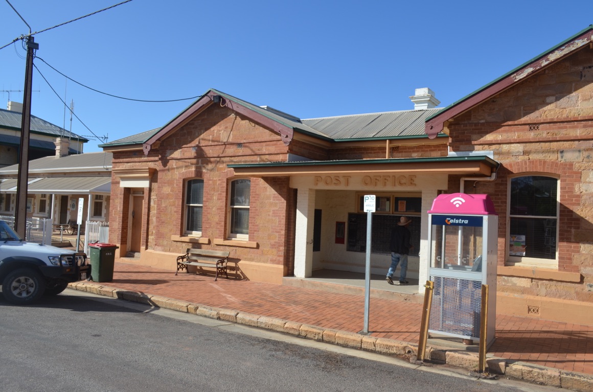
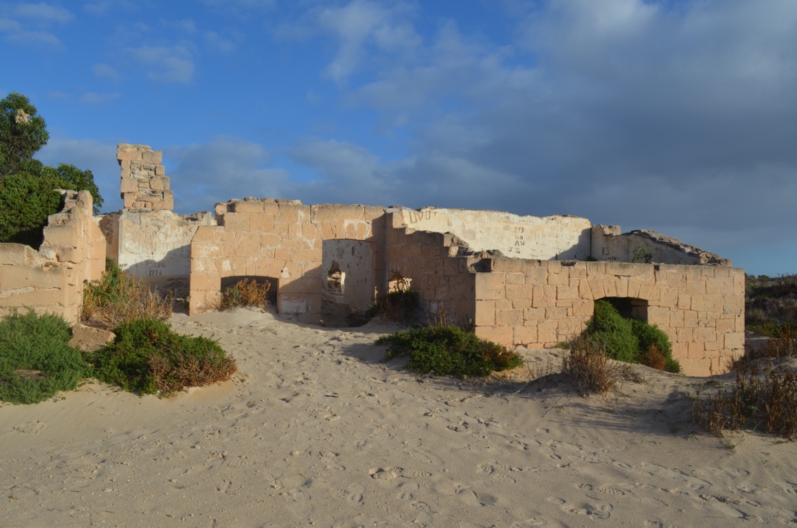
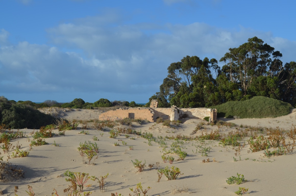
Thargomindah is in the Bulloo Shire. The Bulloo Shire is the 3rd largest shire in Queensland and has a total population of about 400 souls. Thargomindah is the administrative centre of the shire and has a population of about 100. The town’s main claim to fame is that it is the 3rd town in the world (after London and Paris) to produce hydro electric power for street lighting - by using water pressure from the Artesian Basin.
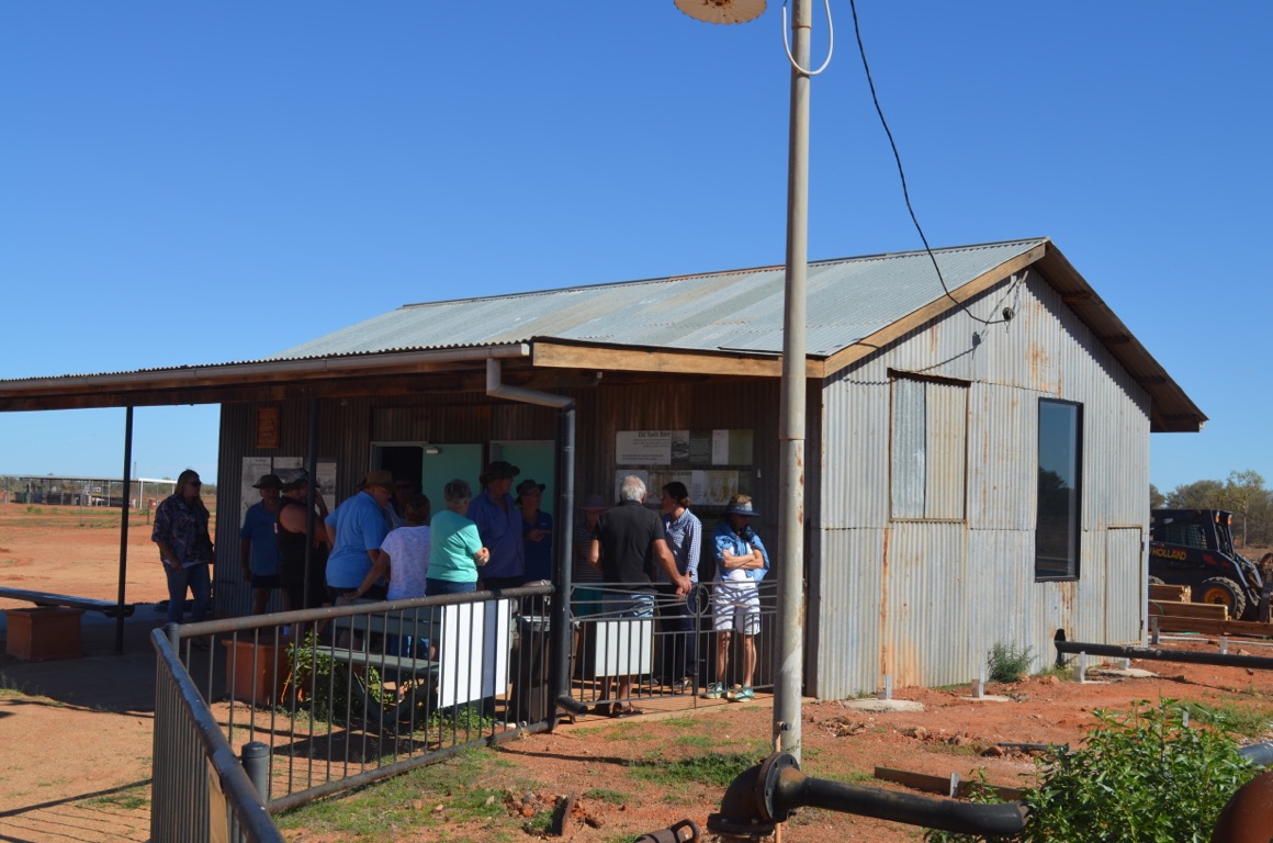
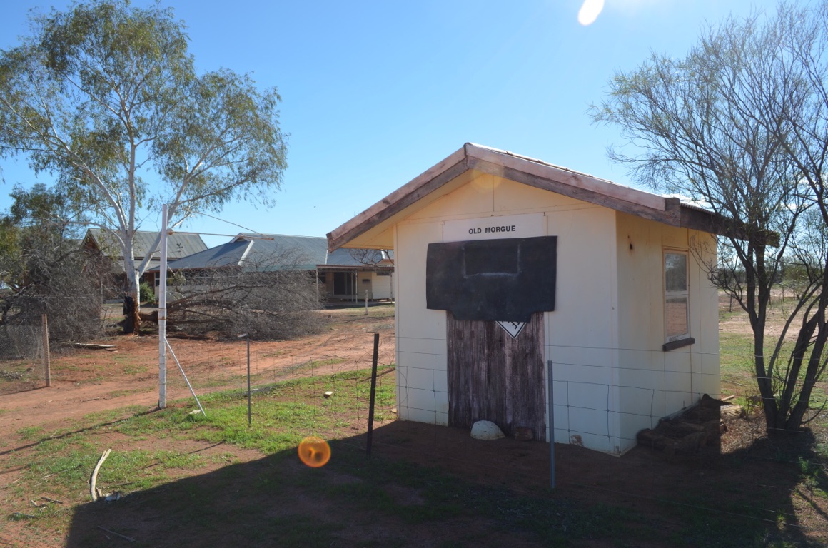
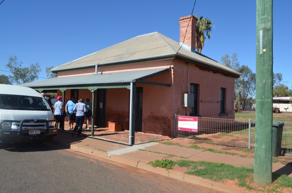
We decided to take a tour, provided by the local visitor information centre, of the town and visited Leahy House (1885), the old gaol, the Hydro Power plant (1891) and the (old) Hospital (1888).
As interesting as the tour was, what was extraordinary about Thargomindah was the recent development of the town by the shire. An enormous effort has been placed (ongoing) on improving facilities, tourist attractions and generally maintaining the town. For those travelling in far south west Queensland, the town is well worth a visit.
Total km today: nil
Total cumulative km: 1,150
what3words: impractical.inhales.posse
The old gaol
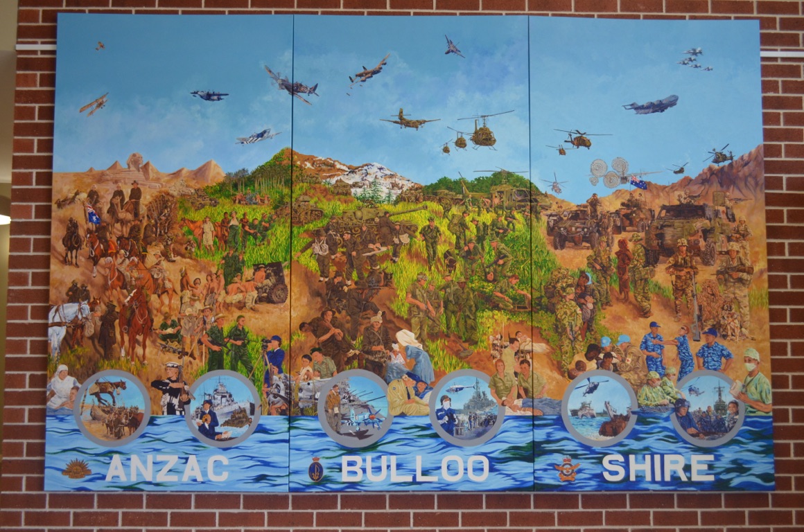
Mural in the Shire Administrative Centre
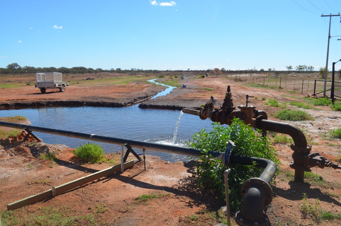
The Hydro Electric plant
The Hydro Electric plant
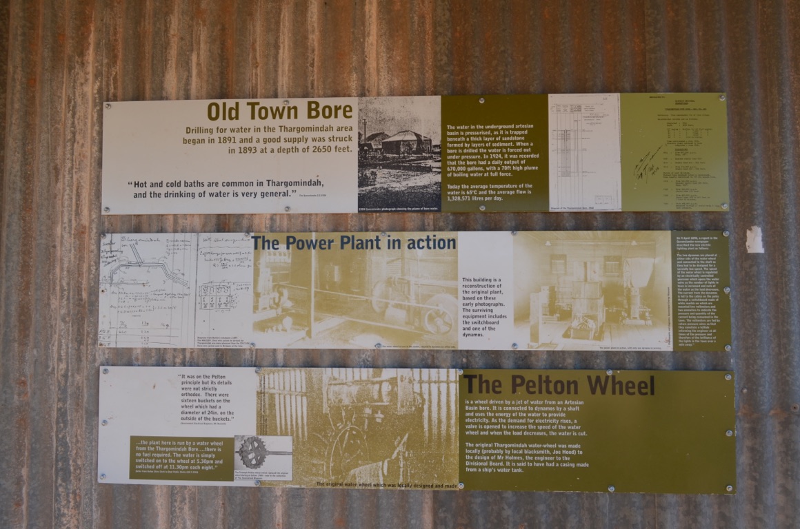
The Hydro Electric plant
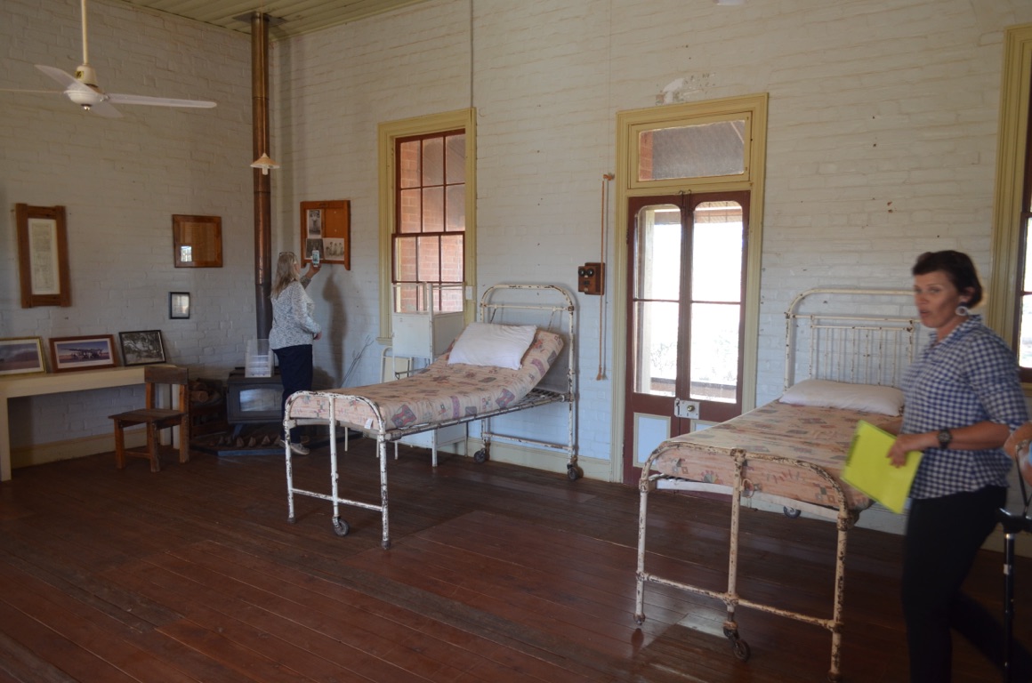
The old hospital
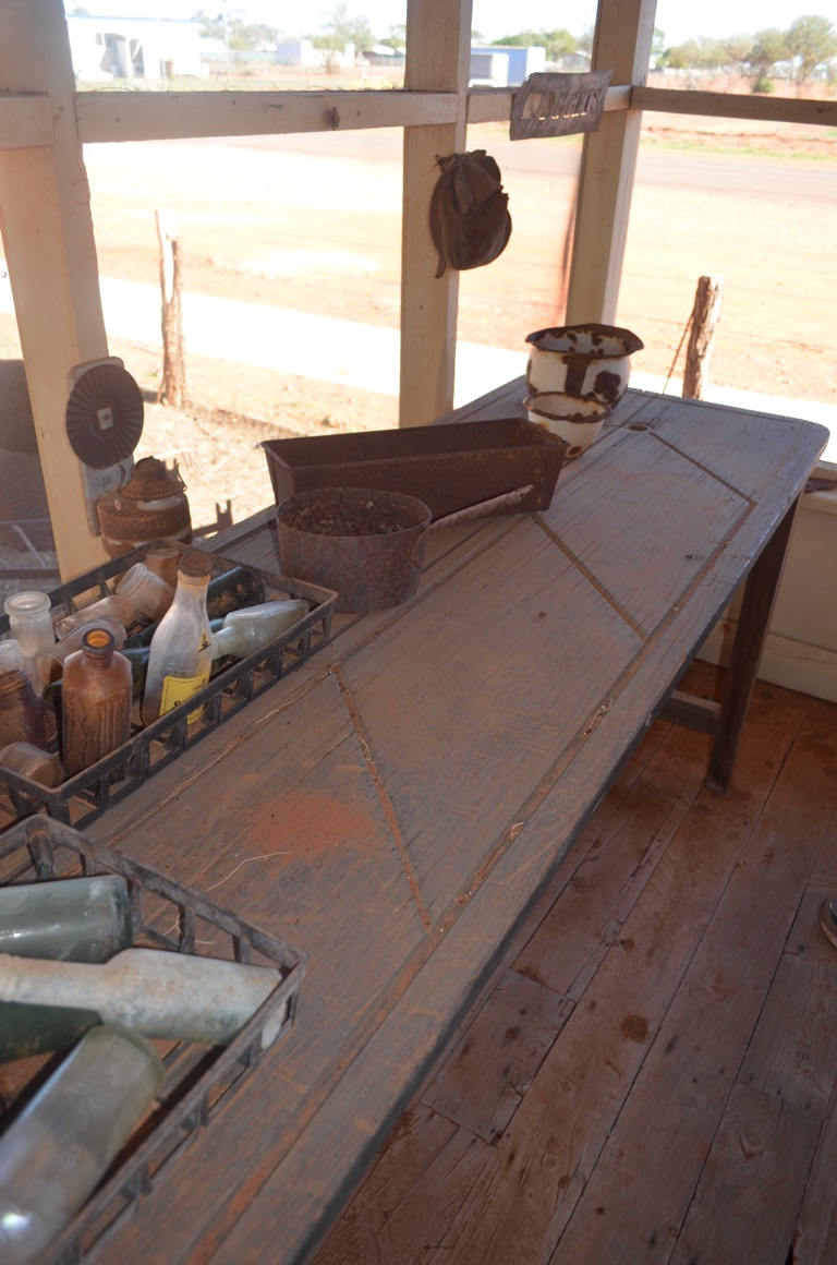
Mortician’s slab (stored in the Meat House!)
The old hospital (read the sign!)
Leahy House
The old hospital (note the original corrugated iron roof sheets which were half-sized to allow them to be carried by pack horses). The bricks were made from local mud and the walls are four bricks deep.
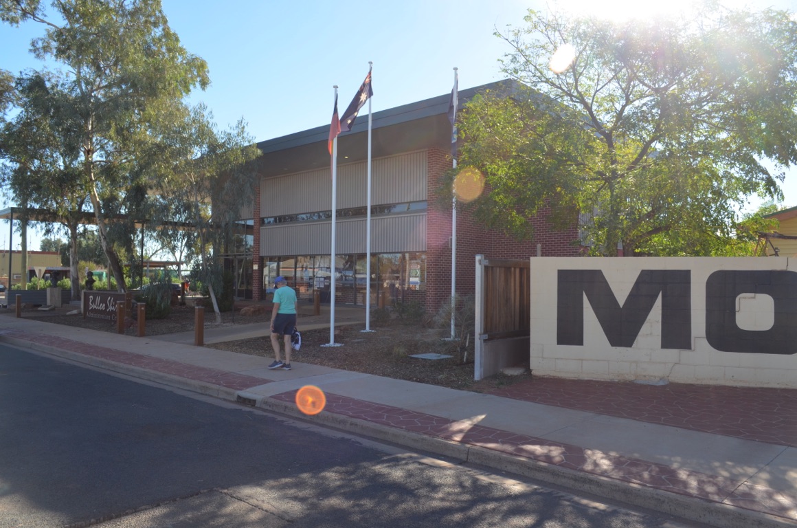
Shire Administrative Centre
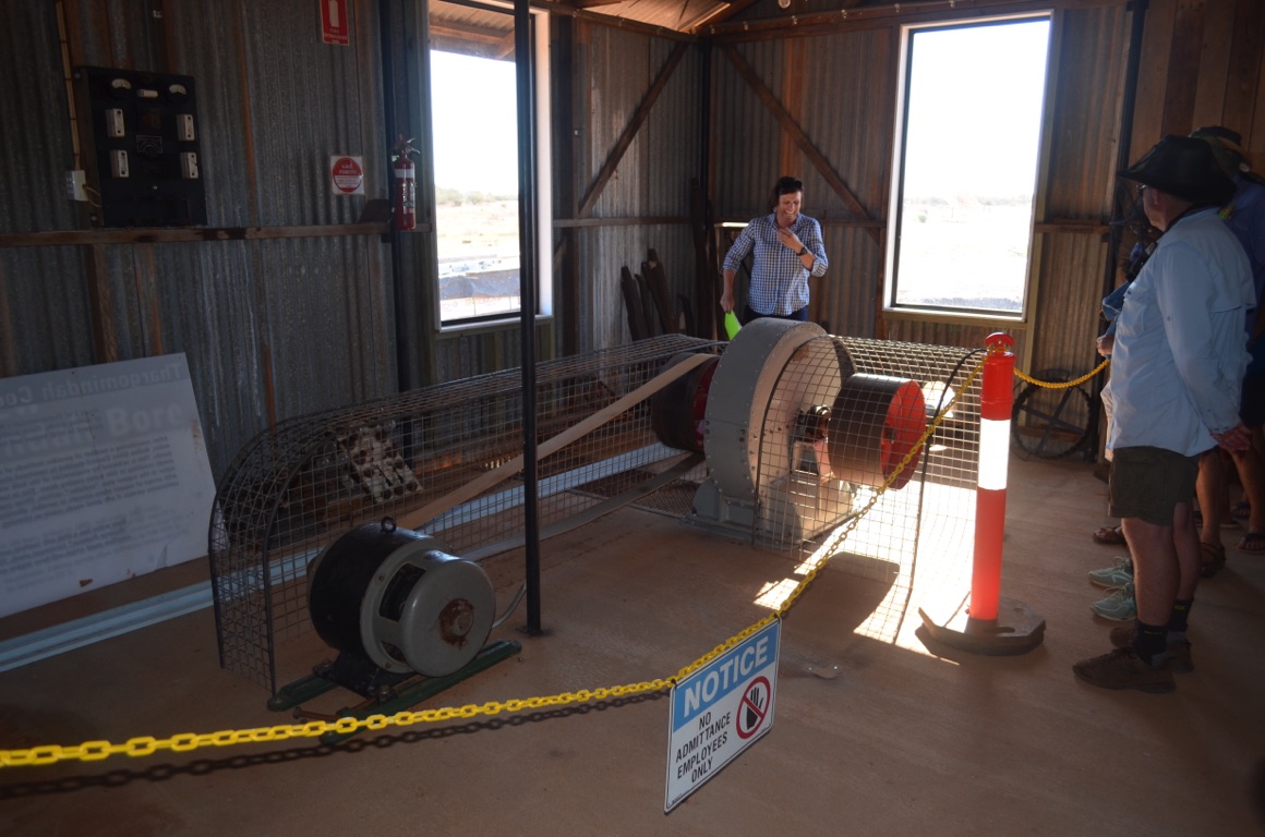
The Hydro Electric plant
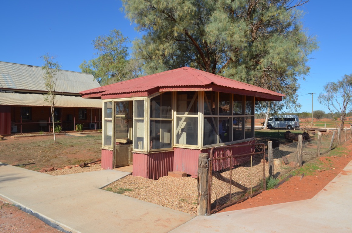
Meat house at the old hospital
![]()
![]()
![]()
![]()
![]()
![]()
OR
Copy the link to @yilgiddie Journo below
We left Thargomindah after some grocery shopping and a diesel refuel.
The road to Noccundra was sealed and, although narrow, in excellent condition.
A stop for coffee beside the road was necessary and, before we knew it and having turned off the Innamincka road, we arrived.
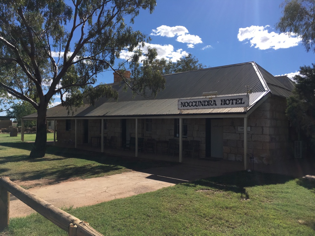
Noccundra is on the banks of the Wilson River and within Nockatunga Station. The first pub, built in 1860, burnt down and the present building was built in 1882 of sandstone (quarried in NSW and carried in by camel train). We had lunch at the hotel, having first visited it around 1989 whilst driving from Brisbane to Melbourne.
No communications (except for a payphone) in town.
Total km today: 142
Total cumulative km: 1,292
what3words: supreme.glum.magnetic

Noccundra Waterhole overnight stop
The road between Thargomindah and Noccundra
Noccundra Hotel
![]()
![]()
![]()
![]()
![]()
![]()
OR
Copy the link to @yilgiddie Journo below
The flies and mosquitoes were not good at Noccundra! It wouldn’t have been comfortable sitting outside and so we confined ourselves to the inside of the caravan.
Before leaving, we were reminded that no fruit, vegetables or anything with seeds could be taken across into South Australia. And so we needed to cook everything that fitted the category - delaying our departure by an hour or so.
The road to the South Australian border was all sealed and in good condition. Thankfully, the road west of the border, although dirt, was \240fairly good.
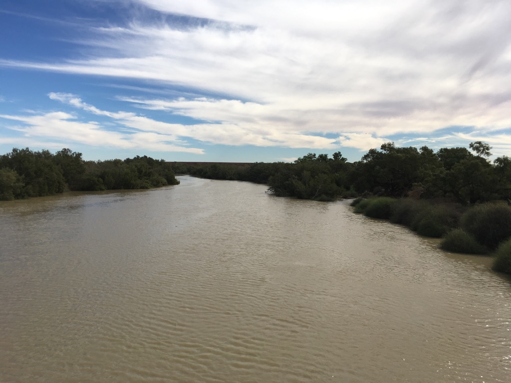
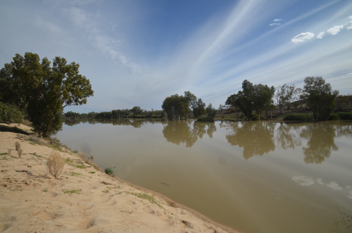
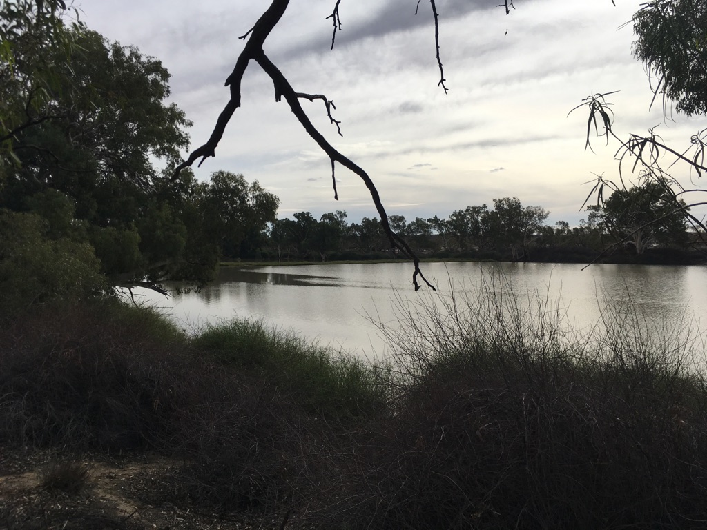
We stopped for a while at the Burke and Wills Bridge (perk.obeyed.awaiting) to view Cooper Creek and marvelled at the volume of water which, in our estimation, had come down 6 weeks or so ago. It was also clear from the river bank that the river had also carried significantly more water.
We decided not to take the short detour to the Dig Tree as we’d visited it several years ago when we took a flight from the Gold Coast to see Lake Eyre in flood. On that trip, we dropped in to Charleville, stopped overnight at Quilpie and then, on the big day, flew over the Channel Country, dropped into the William Creek Hotel for lunch, flew up to Birdsville for the night, then flew back to the Gold Coast, again via Charleville - a truly memorable trip (and a real treat!)
Innamincka wasn’t very busy and we found a site close to Cooper Creek. Not a free night, but one where we were encouraged to leave $5.00 in the honesty box.
Once again, no phone or internet connection.
Total km today: 265
Total cumulative km: 1,557
what3words: flirts.roofer.creditor
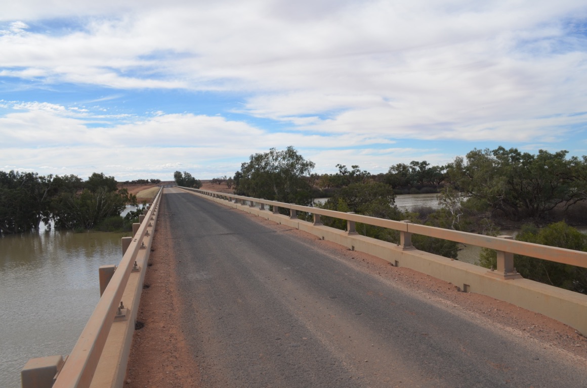
Burke and Wills Bridge
Innamincka
Cooper Creek at the Burke and Wills Bridge
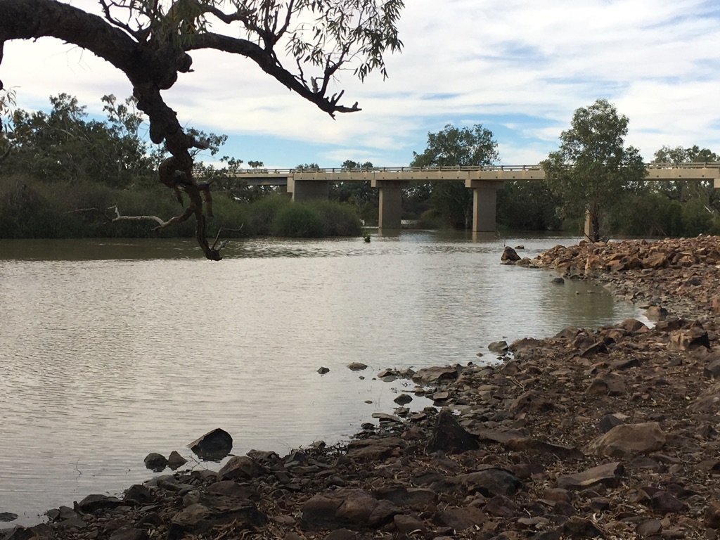
Cooper Creek at the Burke and Wills Bridge
Innamincka
![]()
![]()
![]()
![]()
![]()
![]()
OR
Copy the link to @yilgiddie Journo below
A late start today.
We discussed what we might do whilst we were in Innamincka and decided that a visit to Coongie Lakes would be worthwhile as they are a Ramsay Wetland and recognised as being something special. Regretably, the road was closed due to recent flooding and so it was not to be.
We therefore left the van at the ‘Town Common’ and drove down the Old Strzelecki Track with a view to visiting Cameron Corner (the location of the triple border of New South Wales, Queensland and South Australia). However, it quickly became apparent that, if we had completed the return trip, we’d be lucky to get back to camp until late evening.
So, once the Old Track met the ‘new’ Track west of Moomba, we turned east until we met Dillons Highway and back to Innamincka.
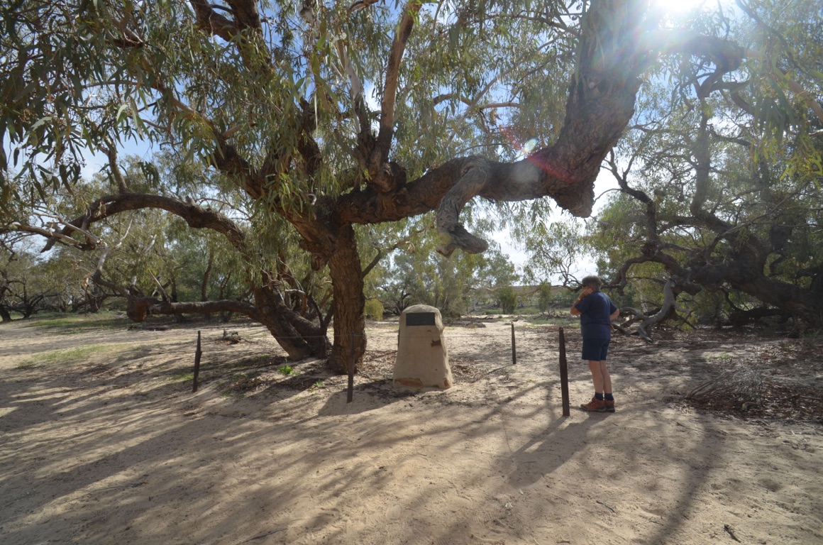
We then took ourselves off to Burke’s Grave (jogs.horizontally.emblem) northeast of town and then on to Cullyamurra Waterhole (vans.earnestly.reuniting).
Burke’s body was found by a rescue party a few months after his death and was buried at the site. However, several months later his body was exhumed and taken to Melbourne, where he now lies. The site is beside Cooper Creek.
Also beside Cooper Creek is Cullyamurra Waterhole. A fine example of a waterhole where Aborigines used to make their home.
Once again, no phone or internet connection.
Total km today: 147
Total cumulative km: 1,704
what3words: flirts.roofer.creditor
Cooper Creek beside Burke’s gravesite
Along the Old Strzelecki Track
Burke’s gravesite
Cullyamurra Waterhole
Along the (new) Strzelecki Track
Along the Old Strzelecki Track
![]()
![]()
![]()
![]()
![]()
![]()
OR
Copy the link to @yilgiddie Journo below
Another late start - we need to get our act together!
We told ourselves that, having come this far, it would be a shame if we didn’t visit Cameron Corner, so we fuelled and watered up, had a coffee and hit the road.
We travelled south, retracing our steps from yesterday and arrived at the junction of the Old Strzelecki Track and the (new) Strzelecki Track and then drove down the remaining length of the Old Track with the result that we covered the full length of the Old Track, albeit in two bites.
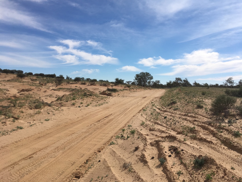
From there, we we would be committed to a 108 km drive to Cameron Corner.
The drive was fantastic. Someone had previously recorded that there are 216 sand dunes along the way - and it was a real roller coaster! The only problem was that the corrugations were not at all good. The 108 km drive took us 2 ½ hours.
Soon after we arrived (at 1645 hours Queensland and NSW time and 1615 hours South Australian time) we found the bush camp (no facilities) and, shortly after that, another Zone caravan pulled up next to us. Andy and Elona from South Australia in #072. Small world!
It transpired that the Corner Store at Cameron Corner was established by Sandy Nall (1940-2004) who had served with 4 Field Regiment.
After a couple of beers and an excellent (but expensive) evening meal with our newly-made Zone friends later, we retired for the day.
Once again, no phone or internet connection.
Total km today: 241
Total cumulative km today: 1,945
what3words: cushioned.edgy.revivals
On the Old Strzelecki Track
Cattle yards on the road to Cameron Corner (outer.cuisines.share)
Two Zone caravans at Cameron Corner
Approaching Cameron Corner
Sunset at Cameron Corner
On the road to Cameron Corner
On the road out of Innamincka
![]()
![]()
![]()
![]()
![]()
![]()
OR
Copy the link to @yilgiddie Journo below
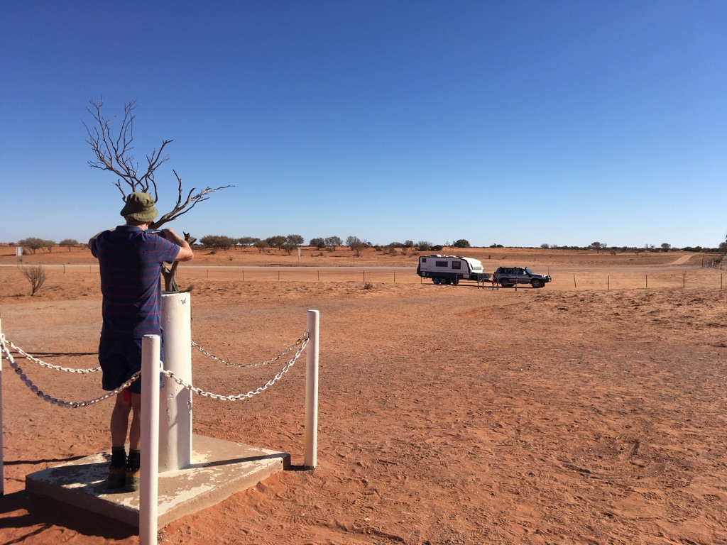
The photographer of a not very good shot of the boundary marker
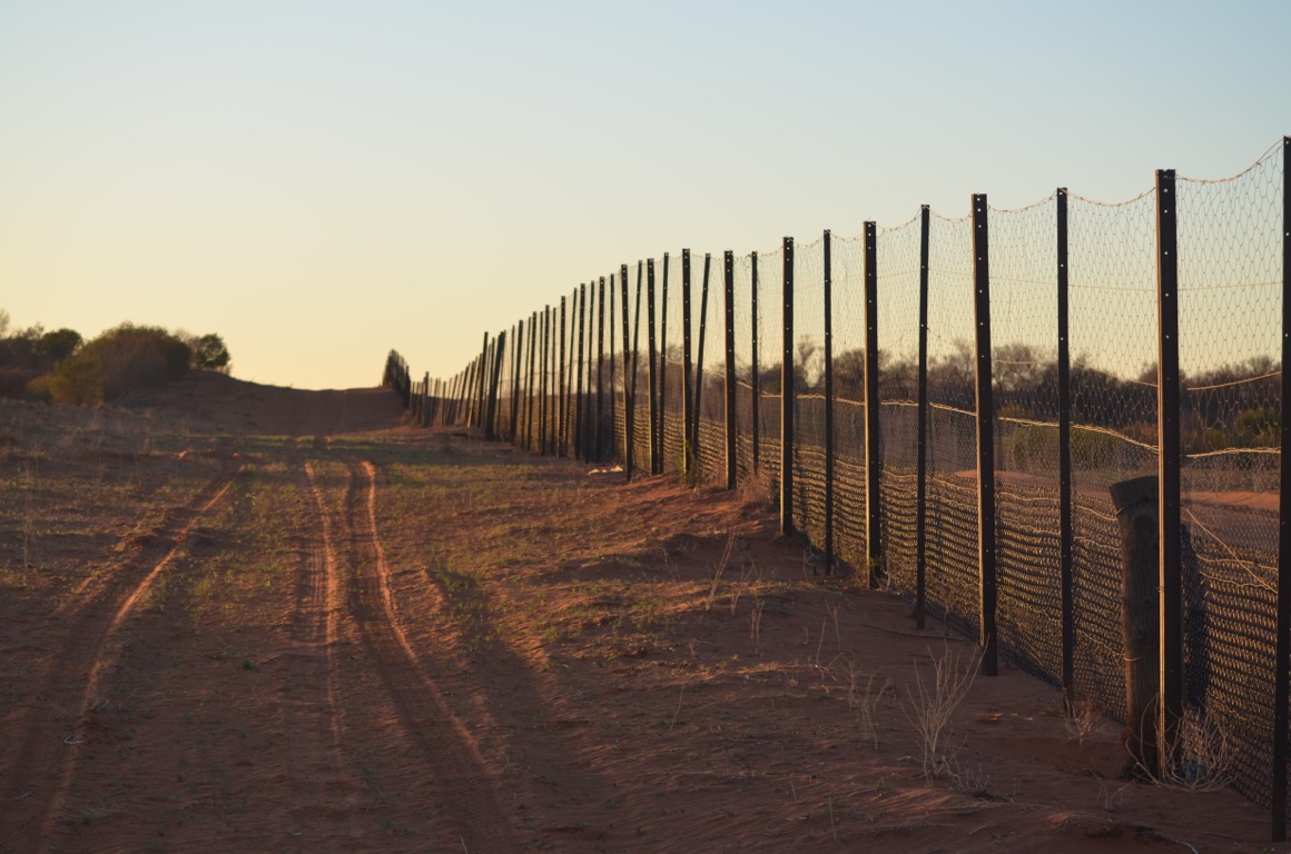
The dingo fence
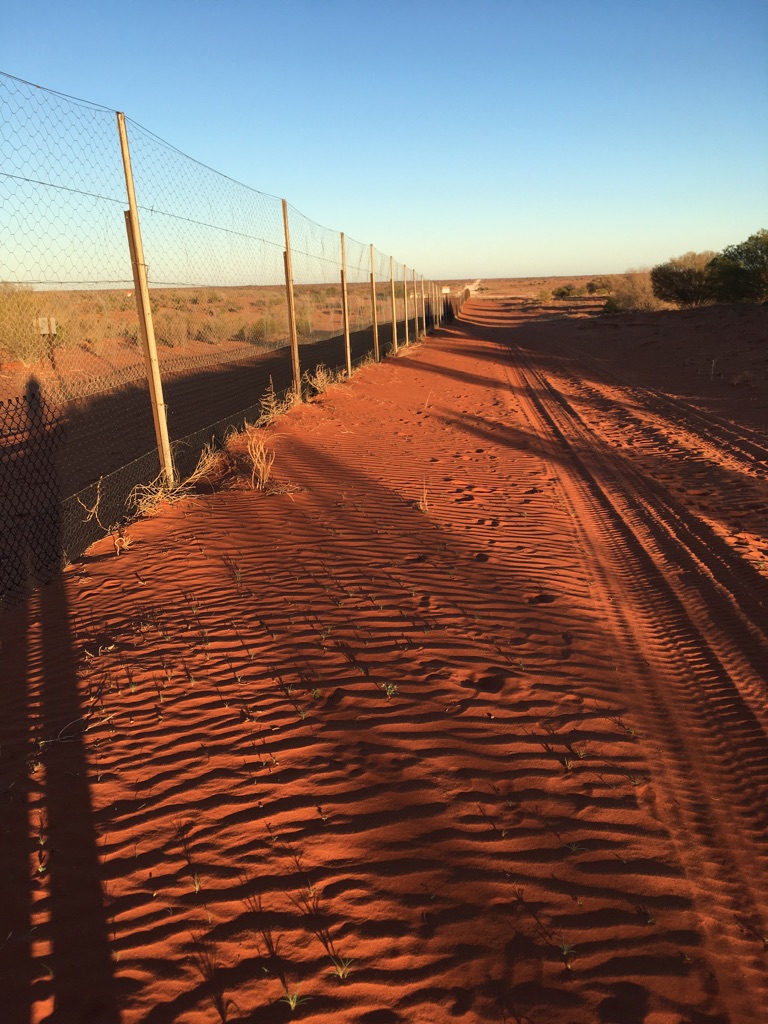
The dingo fence
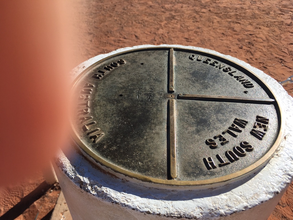
Not a very good shot of the boundary marker
On the road to Lyndhurst
![]()
![]()
![]()
![]()
![]()
![]()
OR
Copy the link to @yilgiddie Journo below
The hotel caravan park had seen better days and not even worthy of a photo. It’s now the preferred overnight stop for truckies on their to or from Moomba, Innamincka, Maree or other points in between or beyond.
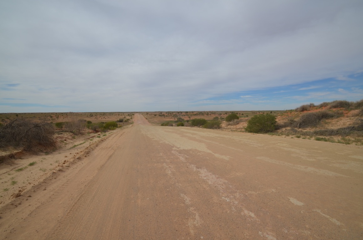
Thankfully the road, for us, was to be sealed and so necessary for all eight tyres to be re-inflated to their usual pressures.
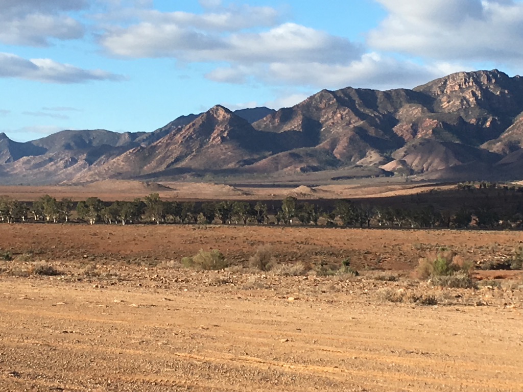
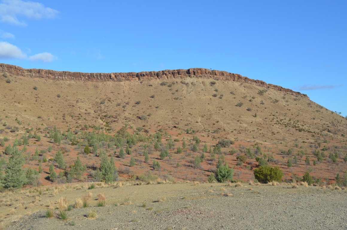
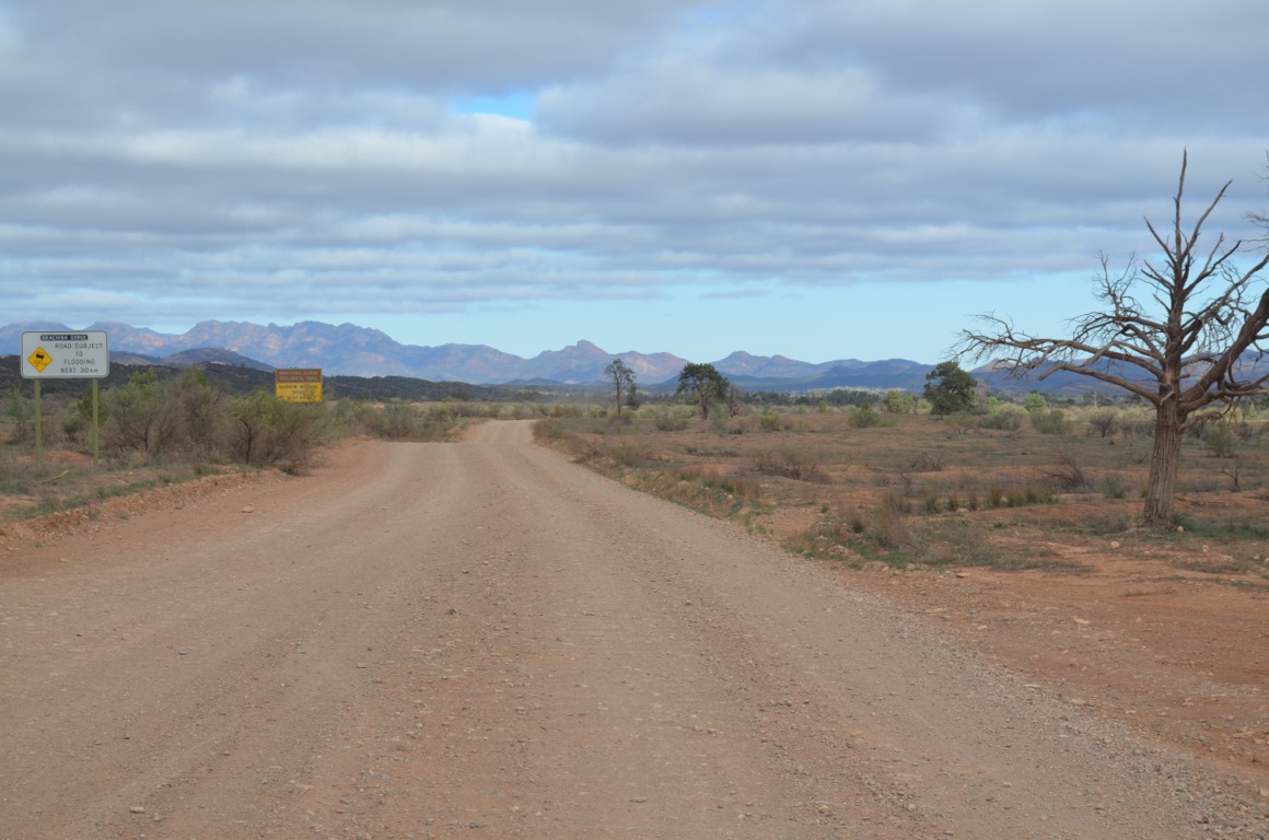
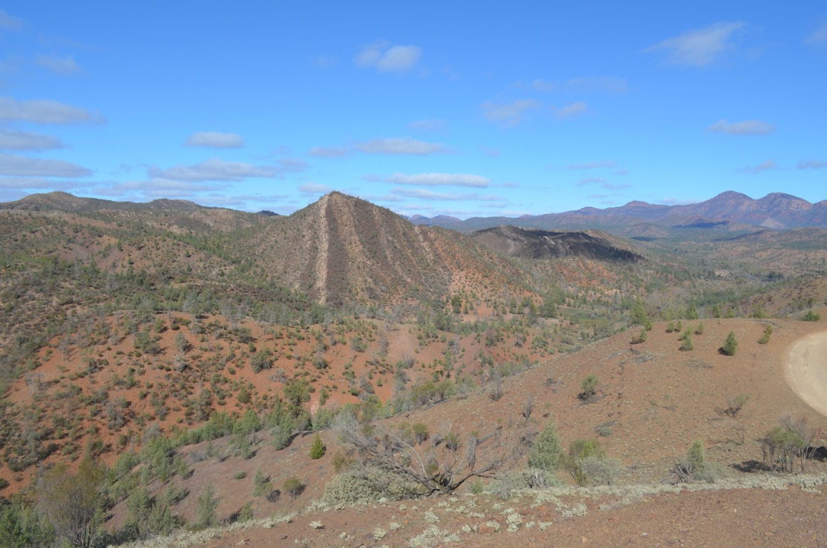
Although the Flinders Ranges were spectacular, the past wealth of the region was spectacularly evident: many deserted homesteads were in ruins; the town of Copley was simply awful with shops closed and houses turned into piles of trash.
The recent closure of the Leigh Creek Colliery has devasted the township (opened with appropriate fanfare in 1980). The colliery employed 450 people - a significant workforce. We stopped there for a late breakfast and an opportunity to contact Zone to discuss our electrical issues. The townsfolk who remained had accepted that tourism was their only saviour - a gutsy decision as, compared with Queensland for example, none of the South Australian remote communities we’ve visited to date have any idea, or seem to have any commitment, to attract visitors, added to which their outback roads are by far the worst we’ve seen so far. A tough comment? Maybe, but if the State government doesn’t recognise this and does something to support their remote communities, they will simply die over time.
Total km today: 304
Total cumulative km: 2,689
what3words: spilled.select.founders
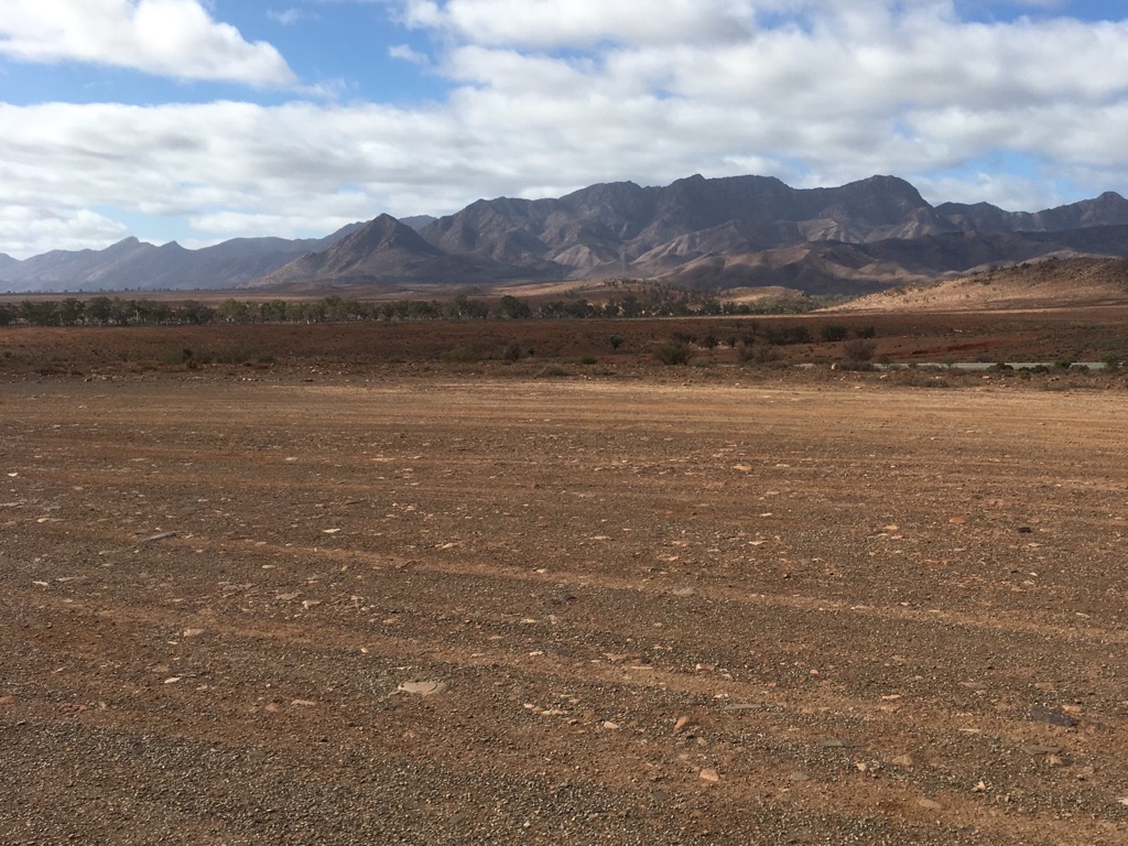
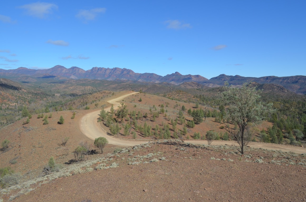
The Flinders Ranges
The Flinders Ranges
The Flinders Ranges
![]()
![]()
![]()
![]()
![]()
![]()
OR
Copy the link to @yilgiddie Journo below
An earlier start so as to reach Zone in Queensland at the start of their day. Having spoken with the right person and explained in detail the problems we’ve been experiencing. The result of that was that Zone were to forward these details to the manufacturer of the lithium battery setup and the representative of the hot water system manufacturer and have them call us. Which they did later in the morning. Short story: both issues were related to loose electrical connections which were not readily apparent to us (and have now been attended to). Has it all been fixed? We’ll know once we hit some corrugations again!
So, Monday was very much a maintenance day, including a visit to the local hardware store.
We decided that we should strike camp (if that’s possible in a caravan park) tomorrow morning and head for the hills again (ie. the Flinders Ranges).
Total km today: nil
Total cumulative km: 2,689
what3words: spilled.select.founders
![]()
![]()
![]()
![]()
![]()
![]()
OR
Copy the link to @yilgiddie Journo below
We didn’t take off for the Flinders Ranges after all. There were a number of maintenance and housekeeping jobs remaining and we felt that it prudent to get all of these out of the way.
![]()
![]()
![]()
![]()
![]()
![]()
OR
Copy the link to @yilgiddie Journo below
This time we really did leave Port Augusta.
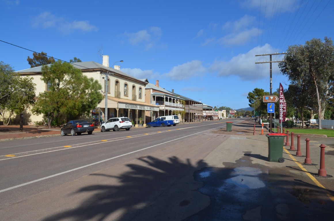
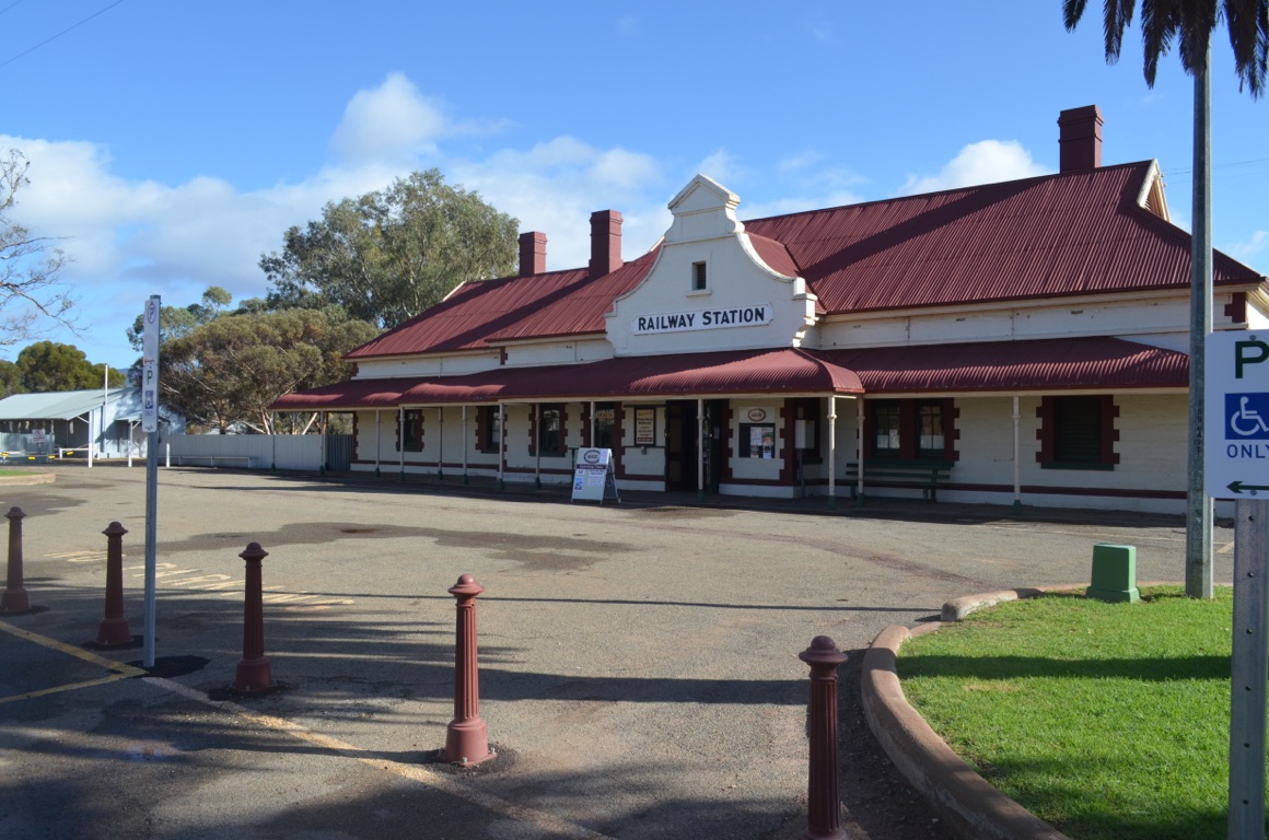
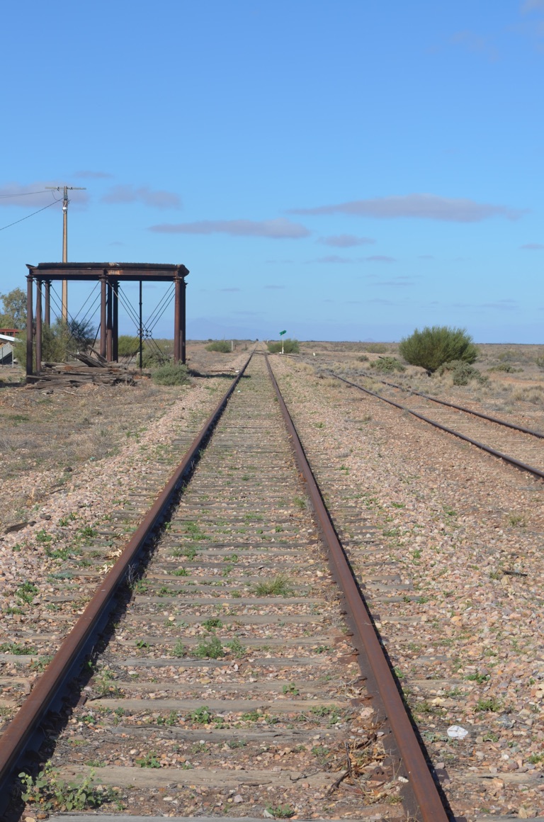
First stop was Quorn. A quaint old town which also happens to be the base for the Pichi Richi Railway. At this time of year, a number of trains run, mainly on weekends, to and from Woolshed Flat. The Afghan, based in Port Augusta, runs to and from Quorn on Saturdays. We plan to take a trip on this on our way out of the area.
Importantly, in the early 1900s, Quorn lay at the junction of railway lines that ran north/south, from Terowie, east of Port Pirie towards Maree - the line that was coined ‘The Ghan’ in 1923 and was eventually closed in the mid 1950s - and the line running east/west, linking Western Australia with the eastern States. During WW2, an average 43 trains passed through Quorn every day carrying troops.
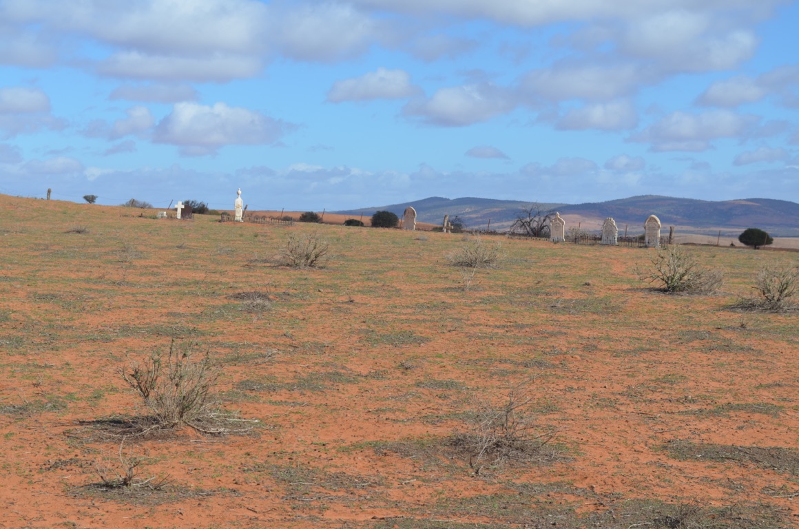
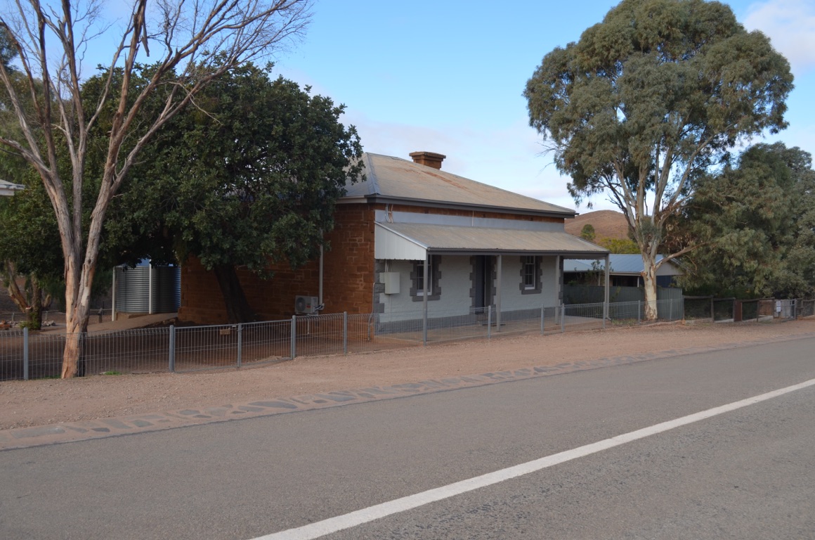
We were also attracted to the deserted town of Wilson (airfields.qualifying.filmed), a few kilometres south of Hawker. The town was established in 1881 after a time of heavier than usual rainfall during the 1870s (certainly outside the recognised Goyder Line of agricultural viability) and, consequently, there was a rush of settlers who saw great potential in establishing cropping ventures in the area - especially as the railway line made such decisions easier to implement. At its peak in 1884, the town boasted a population of 75, with a butcher, branch of the Commercial Bank, chapel, general store, hotel and other services.
Unfortunately, and understandably, the Goyder Line defeated them and the town began to die once the scarcity of water was unable to provide for the bullocks which were needed to transport grain to the railway. The town today and its cemetery (immaculate.minstrel.drilling) \240are a sad reminder of times gone by and, especially, the fortitude of those and their families who took on projects that today would be seen to be unacceptable risks.
Next stop was Hawker, a few kilometres north of Quorn. We collected our South Australia Parks Pass here and spent some time receiving advice on what is possible (and what’s not) in the National Park. We also called in at the Jeff Morgan Gallery - an extraordinary place which features a number of painted panoramas of the area and which has won the artist global kudos. We stopped for lunch (home-made soup) in Hawker before driving through to our overnight stop at Surveyors Lookout, just east of Merna Mora Station. We had stopped, briefly, here on our way to Port Augusta a few days before.
Total km today: 156
Total cumulative km: 2,845
what3words: shawl.detention.jogged
Quorn
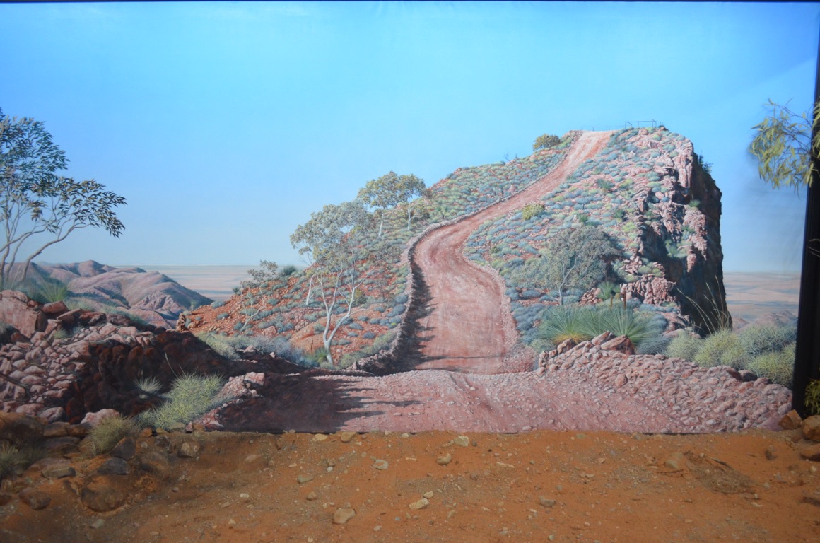
Jeff Morgan painting
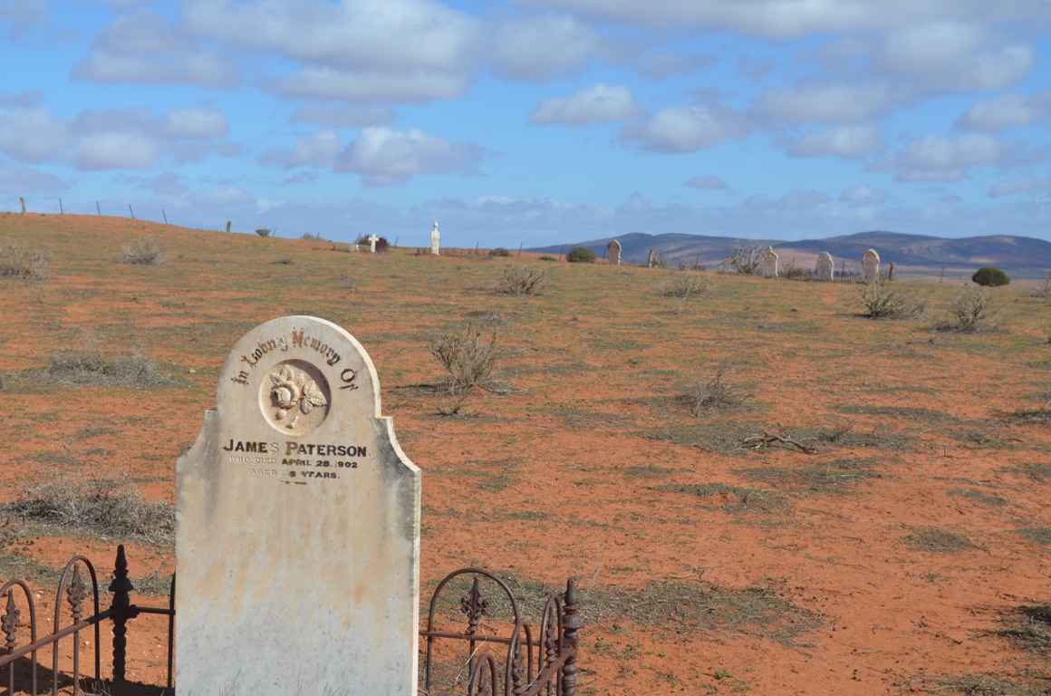
Wilson Cemetery
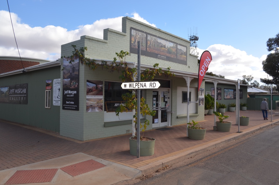
Jeff Morgan Gallery
Quorn Railway Station
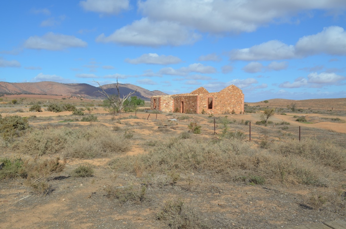
Wilson Stationmaster’s House
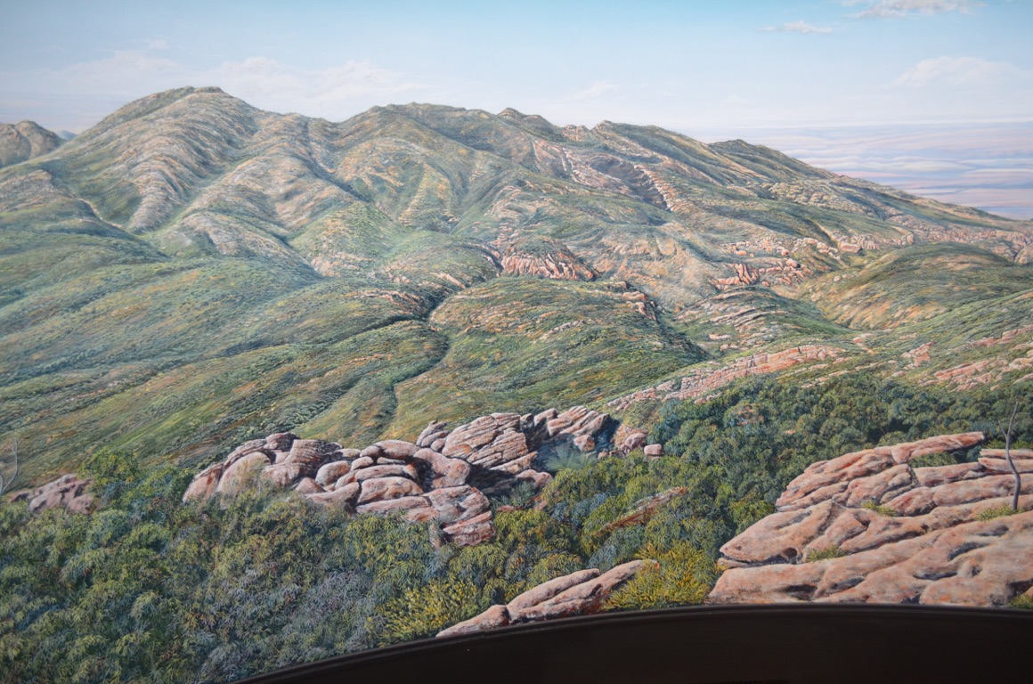
Jeff Morgan Panorama
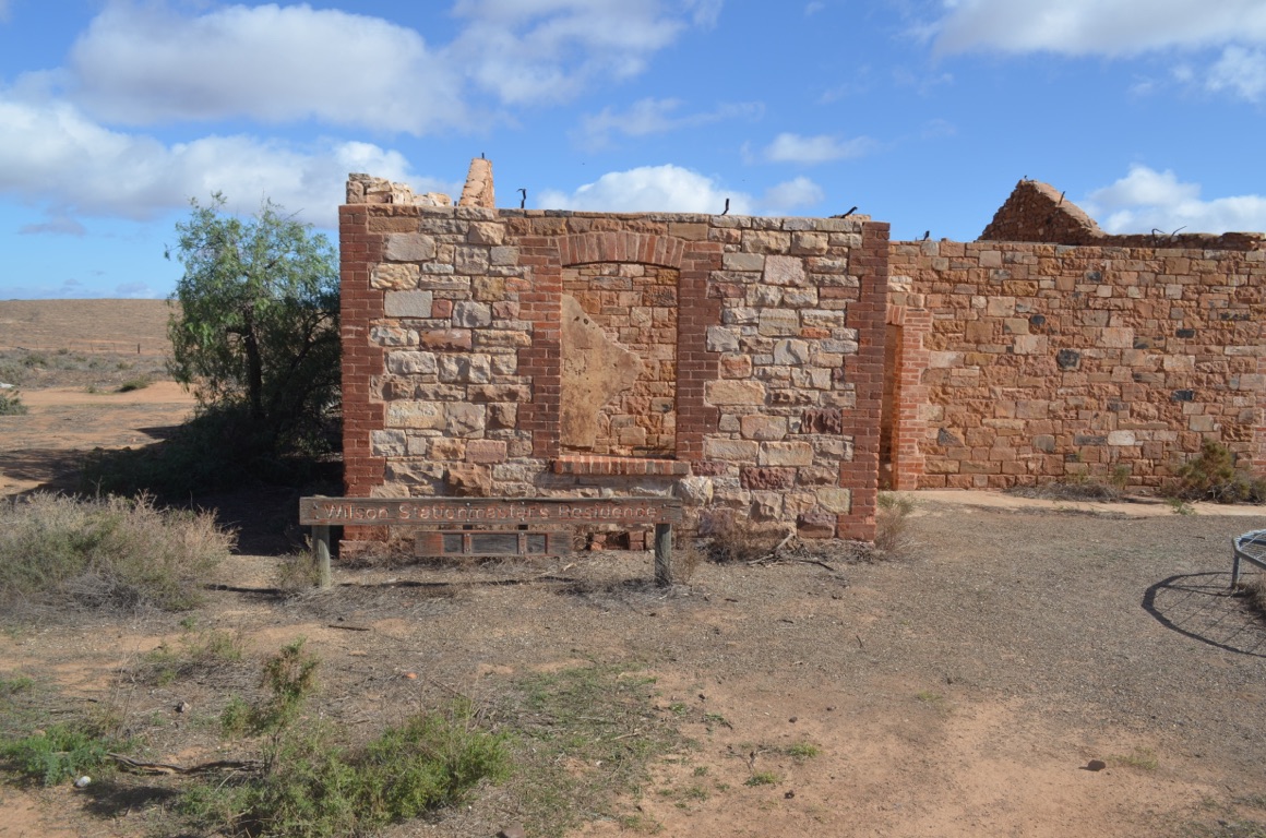
Wilson Stationmaster’s House
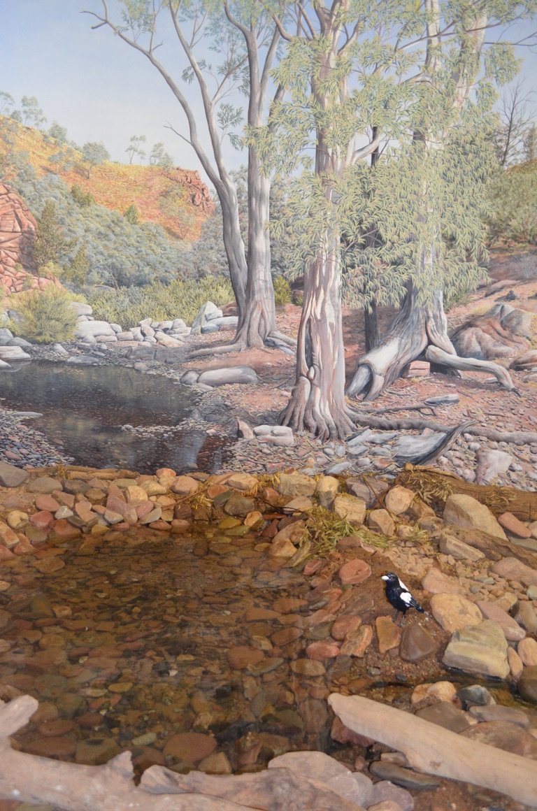
Jeff Morgan Panorama
Wilson Cemetery
Our overnight stop
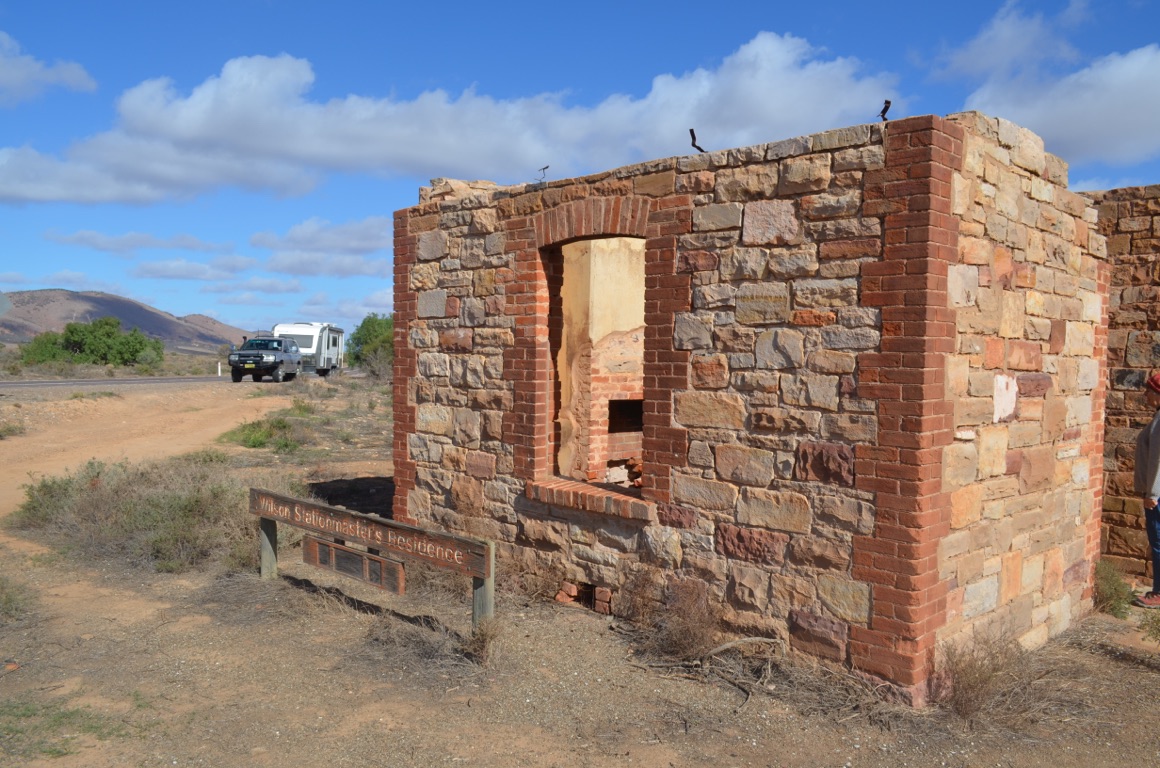
Wilson Stationmaster’s House

Jeff Morgan
Quorn Post Office
![]()
![]()
![]()
![]()
![]()
![]()
OR
Copy the link to @yilgiddie Journo below
A fairly cold night, but a spectacular morning.
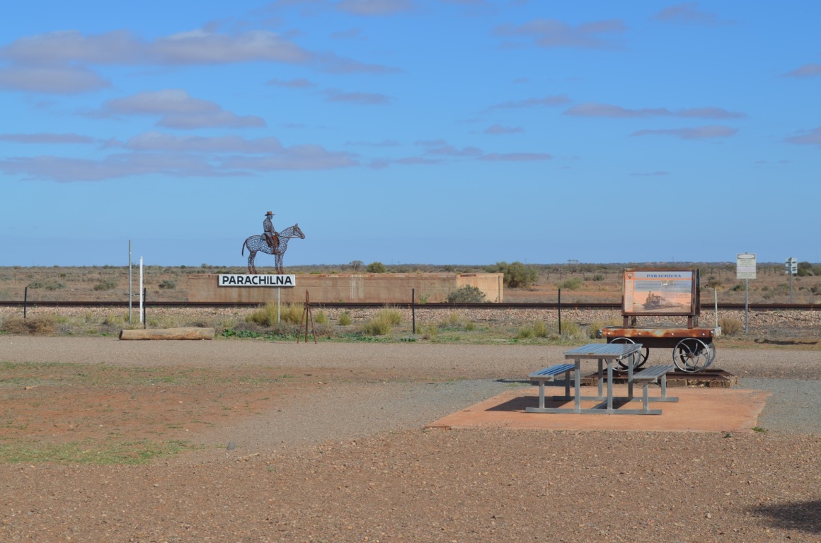
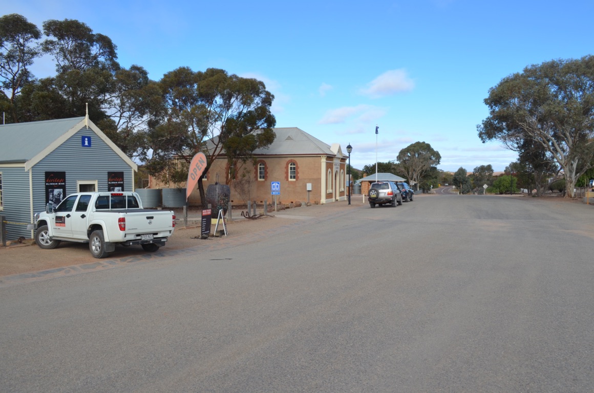
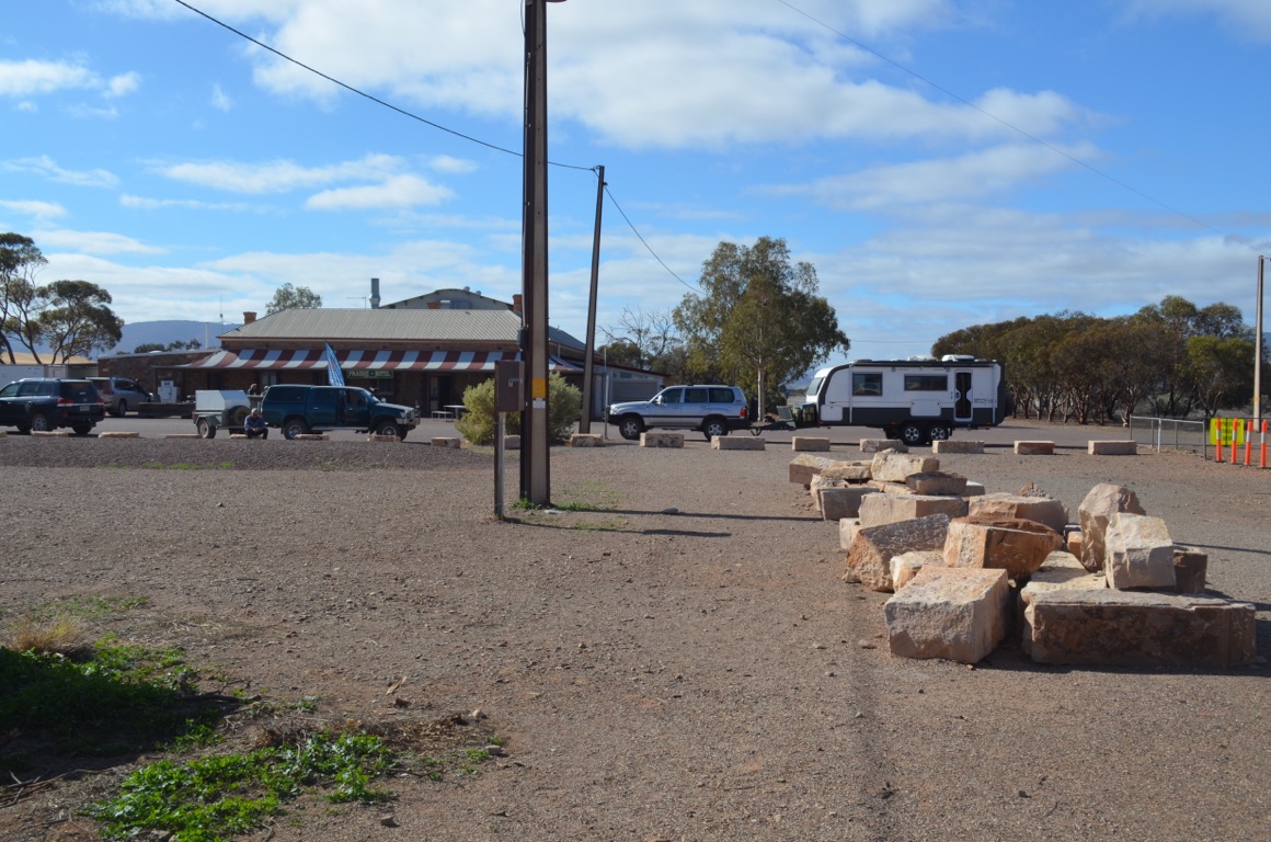
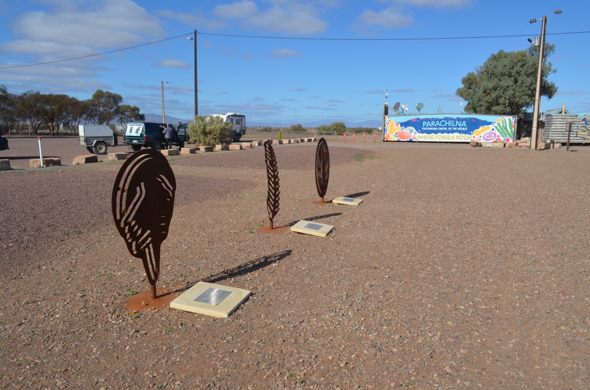
We set off for Parachilna, just a few kilometres up the road. As it was coffee time, we called into the Prairie Hotel. What an experience! Parachilna is strategically located, at least in today’s times, at one of the road junctions into the Flinders Ranges and so captures many of those venturing into the National Park.
The hotel has been around since the 1870s and, as it sat on the railway line, was used as a halfway stop between Quorn and Maree when passengers disembarked for a feed and a drink (or three) before continuing their journey. Sadly the railway line is no longer used as it was closed soon after the Leigh Creek Colliery shut down only a few years back.
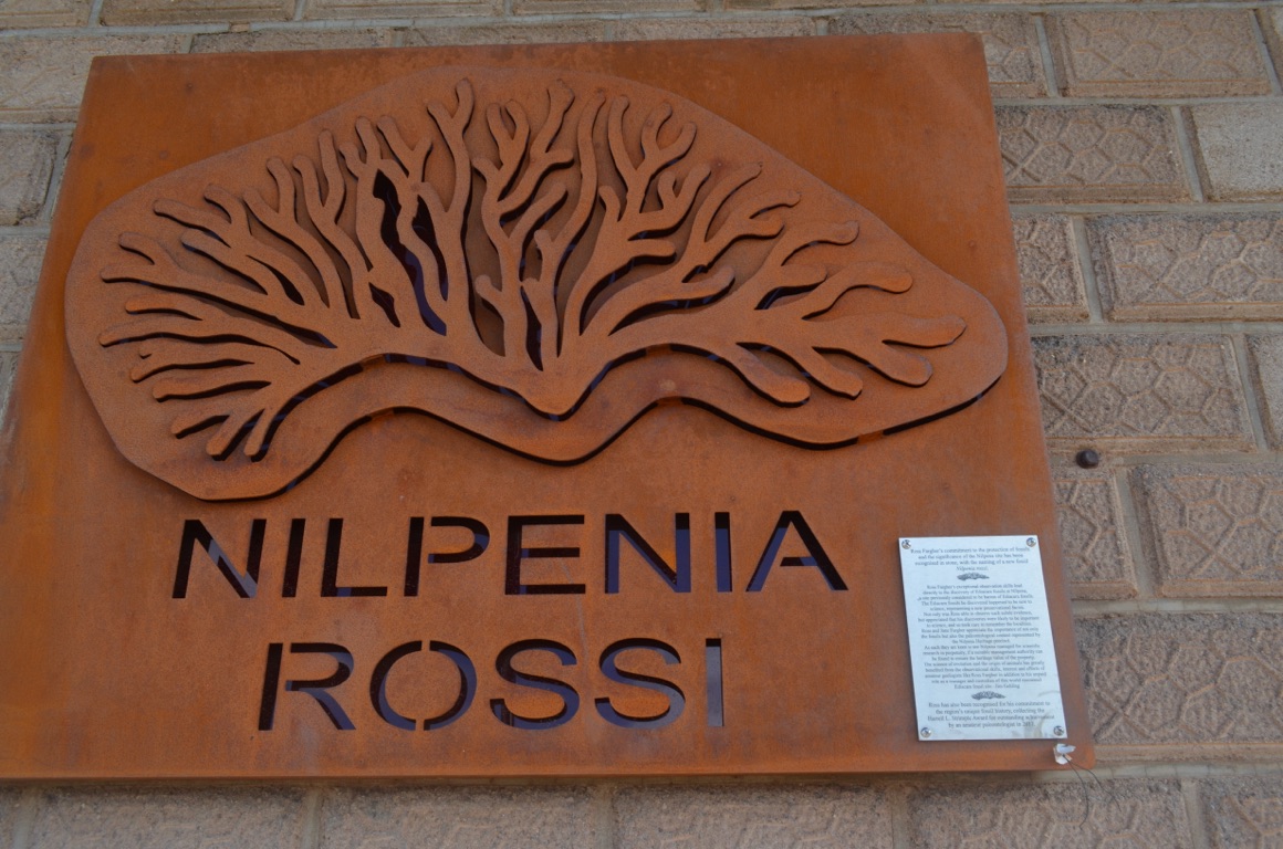
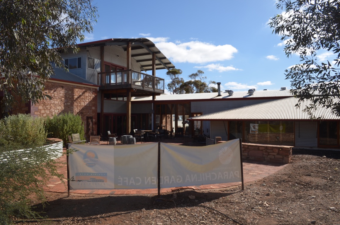
The hotel was purchased by the owners of Nilpena Station (Ross and Jane Fargher) in 1991 and they have since renovated and transformed the hotel into an outstanding outback hostelry, featuring a first class restaurant, superb accommodation and wonderful hospitality. An extraordinary feat in such a remote location.
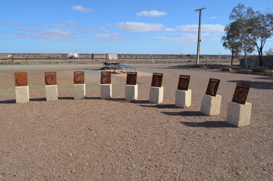
Ross Fargher also discovered Ediacara fossils on Nilpena Station and his commitment to local fossil history has resulted in a local fossil - Nilpenia rossi - being named after him.
After we had unhooked the caravan at a free camp a few kilometres east of Parachilna, we were amazed to see Andy, who we’d first met at Cameron Corner with his Zone caravan, drive across to our site! Very small world.
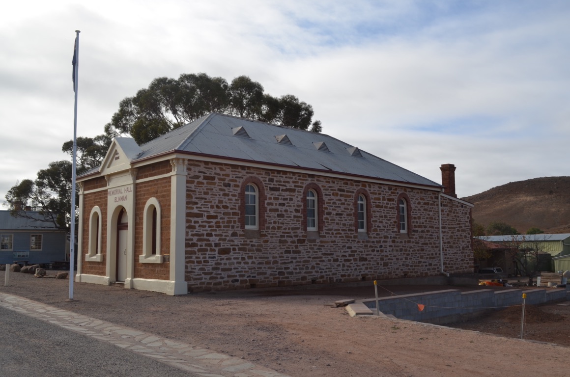
After lunch, we drove across to Blinman, 20 or so kilometres east. The town was established soon after a local shepherd, Robert Blinman, discovered copper in 1859. Between 1862 and 1907, 10,000 tonnes of the metal was mined and the town’s population, at its peak in 1869, was 1,500. A few of the original buildings remain.
We finished the day by lighting a campfire which we subsequently used to cook our evening meal - lamb chops and potatoes cooked in foil on the fire.
A good day.
Total km today:106
Total cumulative km: 2,951
what3words: lazier.cliffs.playlists
Our campsite
Deflating tyres on entering the Flinders Ranges
Flinders Ranges - first impression

Prairie Hotel, Parachilna
Parachilna railway
Blinmen
Parachilna railway building
Flinders Ranges - first impression
Prairie Hotel, Parachilna
Prairie Hotel, Parachilna
Parachilna railway
Blinmen
Blinmen
![]()
![]()
![]()
![]()
![]()
![]()
OR
Copy the link to @yilgiddie Journo below
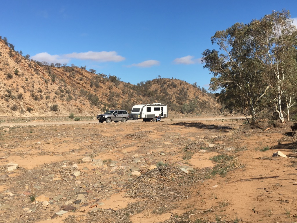
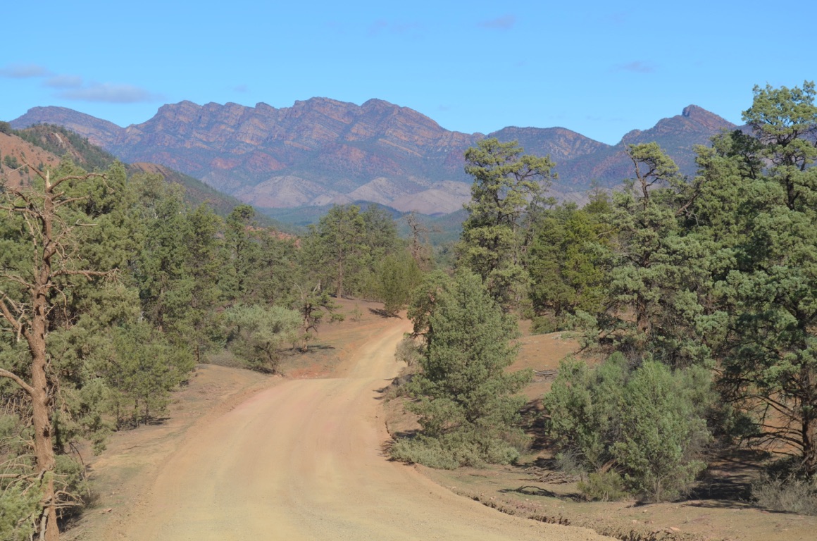
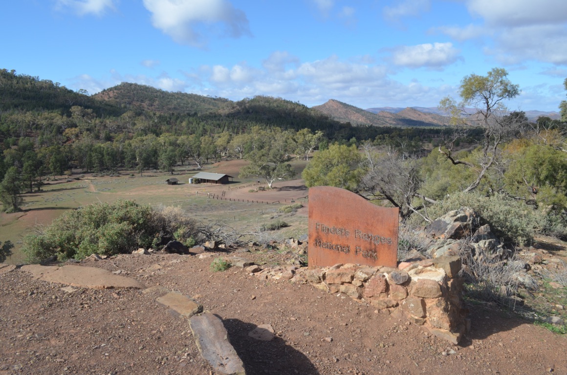
We decided that we should spend time in the National Park, however, one can only book online or at the Park HQ at Wilpena Pound and, at the same time, identify the preferred campsite within the camp area (not very user friendly). So we devoted the day to a recce of possible camp areas and camp sites.
(It should be explained that the free Angorichina camp we had stayed at was outside the National Park, whilst camps inside the NP had to be booked and paid for).
Our route initially took us south and then anticlockwise, with Wilpena Pound being the halfway point before returning ‘home’.
Surprisingly, to us, the camps on the dirt roads were almost empty (perhaps suggesting that the majority of caravanners preferred to remain on bitumen to and from Wilpena Pound). So the choice was wide open. Nevertheless, we chose the Aroona Valley camp and found a campsite with access to water. On arrival at Wilpena Pound, we booked our chosen site and returned to the caravan.
The day’s outing was awe-inspiring and, unfortunately, no photograph can do justice to each of the panoramas as they unfolded.
Total km today: 193
Total cumulative km: 3,144
what3words: lazier.cliffs.playlists
The Wall of China
Along the Geological Trail
Along the Geological Trail
Cazneaux Tree
Along the Geological Trail
Along the Geological Trail
![]()
![]()
![]()
![]()
![]()
![]()
OR
Copy the link to @yilgiddie Journo below
Another move today.
On the way we called in at Blinman to check for mobile reception - to no avail.
The short drive down was uneventful and it didn’t take too long to settle in.
The rest of the day was devoted to maintenance and general housekeeping - and keeping warm.
Total km today: 58
Total cumulative km: 3,202
what3words: shortly.underarms.index
![]()
![]()
![]()
![]()
![]()
![]()
OR
Copy the link to @yilgiddie Journo below
A very cold night, causing us to stay covered up for longer than usual. A cooked breakfast was definitely the order of the day.
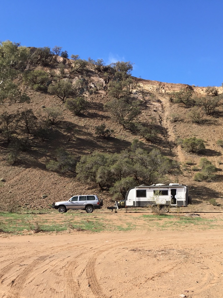
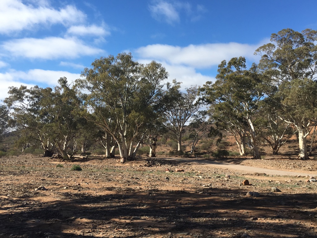
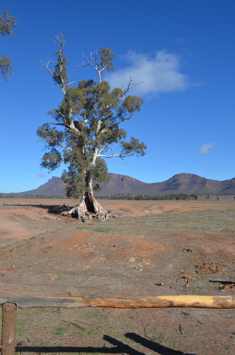
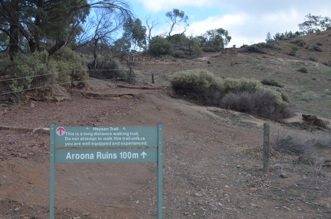
We rugged up and took a walk to the Aroona ruins. In 1850, William Chase was one of many who explored the Finders Ranges in search of suitable pastoral country: he found springs at Aroona and in 1851 John Hayward, a pastoralist, arrived with 3,300 sheep.
The next few years proved to be really tough, with some years yielding little or no financial return. Nevertheless, persistence paid off and, in 1853, he made a profit of £1,419 from the 106 bales of wool from 9,500 sheep. The next year, he contracted a ship’s carpenter to build a homestead for him and his family. It was a relatively large house with running water from the spring servicing the bath house, kitchen and a mess tent and an irrigated garden provided for much the family’s needs.
Hayward sold his property in 1862 and returned to England a rich man. When he arrived in South Australia, he had £40 in his pocket - he returned with £40,000.
All that remains of the homestead are the ruins and a few willows, mulberries and wattles.
Close to the campsite lies a building, said to have been used on several occasions by Hans Heysen (1877-1968) when he visited the Aroona Valley. Heysen was renowned for his depiction of many vistas throughout the Flinders Ranges and this valley was one of his favourites.
Total km today: nil
Total cumulative km: 3,202
what3words: shortly.underarms.index
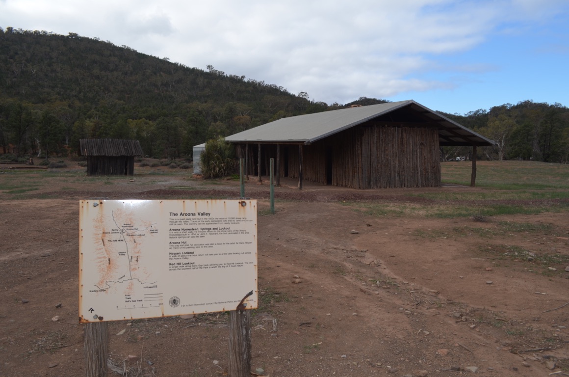
The Aroona Hut: made of pug and pine and often used by Sir Hans Heysen.
The north western extremity of the Flinders Ranges National Park. Our campsite is about 200 metres beyond the hut’s roof.
Approaching the Aroona Homestead ruins

Aroona Homestead ruins
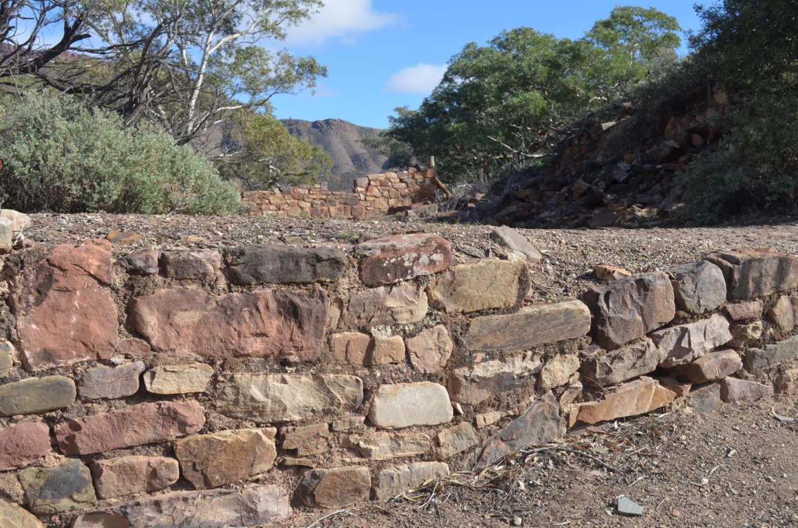
Aroona Homestead ruins
![]()
![]()
![]()
![]()
![]()
![]()
OR
Copy the link to @yilgiddie Journo below
Perhaps we’re getting a little decrepit as we decided last night, and had it confirmed again this morning, that the cold weather wasn’t in the least capturing our interest - after all, we’re on this trip for enjoyment and not purgatory.
The decision was therefore made that we travel south, towards the Barossa Valley and seek out some of the vineyards contained therein.
With no particular overnight destination in mind, we simply drove south and a little bit east and ended up in a roadside parking area just outside Orroroo (great name!).
On the way we passed an ever changing landscape, from the grand panoramas of the Flinders Ranges, across the RM Williams Way just past Hawker, through Craddock and Carrieton which featured marginal pasture and finally to country, entirely suitable for growing sheep, that has been almost totally eaten out by kangaroos. It appeared that much of this country has been abandoned, as evidenced by derelict homesteads, barns and shearing sheds. Very, very sad.
Total km today: 217
Total cumulative km: 3,419
what3words: stack.retied.blouse
![]()
![]()
![]()
![]()
![]()
![]()
OR
Copy the link to @yilgiddie Journo below
Last night was close to being the coldest we’ve experienced so far on this trip. So much for driving south to seek warmer (less cold) climes!
After a late start, we drove into the town of Orroroo.
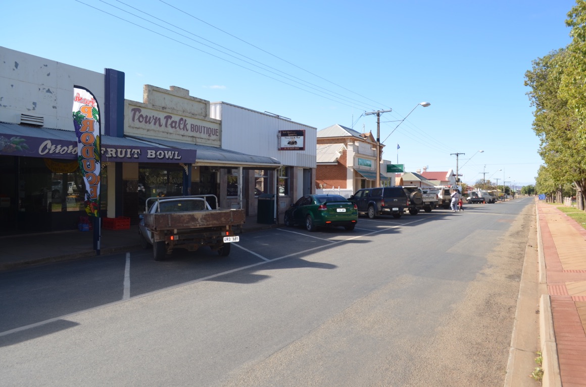
What a great little town, although in its heyday during the 1880s, it was a centre of some substance. Many of the original buildings still stand, although some of them are now deserted and looking a little forlorn. Those that do remain, whether they be commercial or residential, are in fairly good order and it’s clear that the local Council, as well as private individuals, are keen to maintain, and in some cases restore, their properties. One of a number of examples is the Orroroo Institute, built in 1879, and which is now owned by the Council. The building includes a number of rooms with well-preserved pressed metal ceilings and a theatre with under-stage dressing rooms and a dress circle - these are all in the process of being restored and will subsequently be a wonderful drawcard for the town.
Orroroo is one of those places in which it is clear that the local community is keen to maintain and further develop their town’s heritage.
Further down the road we stopped at Peterborough. Following the discovery of silver in Silverton and Broken Hill, and the development of agricultural pursuits in the area surrounding Peterborough, the South Australian government decided to establish a railway line to ensure that the product of these businesses could access the port at Port Pirie. The line to service the farming businesses was opened in 1881, whilst the line to Broken Hill opened in 1887. During the early 1920s, Peterborough (or Petersburg as it was then known) became the crossroads of the continent with the “Transcontinental” coming though from Sydney to Perth (in 1917) and the “The Ghan” from Adelaide to Alice Springs (in 1929). As a consequence, and during the period 1923-1932, Peterborough’s population grew to 5,000 of whom more than a quarter were employed by the railways. The town now has a population of less than 1,900.
Whilst in Peterborough, we visited their railway museum.
We drove on to Burra where we found their Showground offering low cost caravan accommodation.
Total km today: 123
Total cumulative km: 3,542
what3words: undone.miseries.plummeting
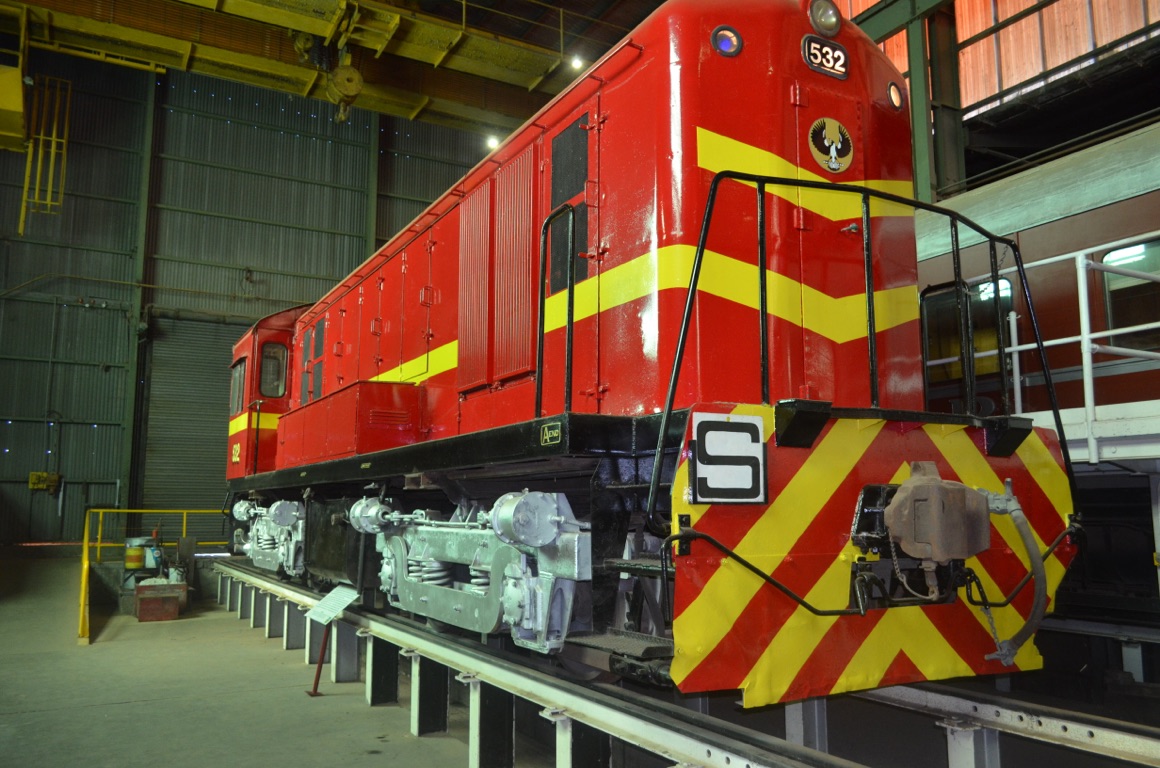
One of 34 ‘500 Class’ Shunt Diesel Locomotives built for South Australian Railways following the beginning of the slow death of steam. This locomotive was commissioned on ANZAC Day 1964.

An Orroroo residence
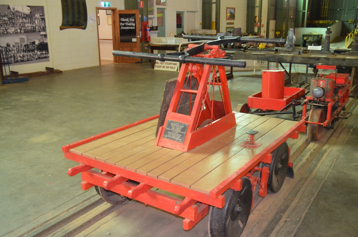
An inspection trolley (known as a 4 man Kalamazoo) for 3’ 6” rails, used until 1940
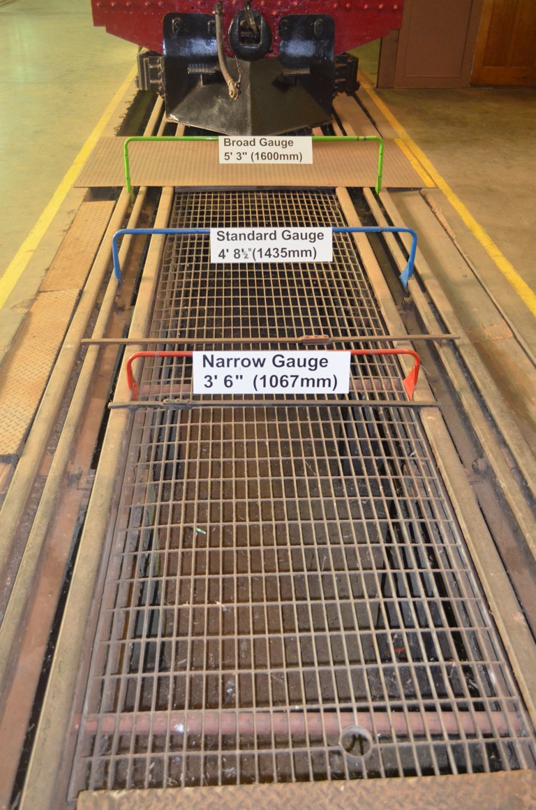
Three rail gauges, represented above, had to be dealt with at Peterborough before standardisation was introduced.
Orroroo street scene
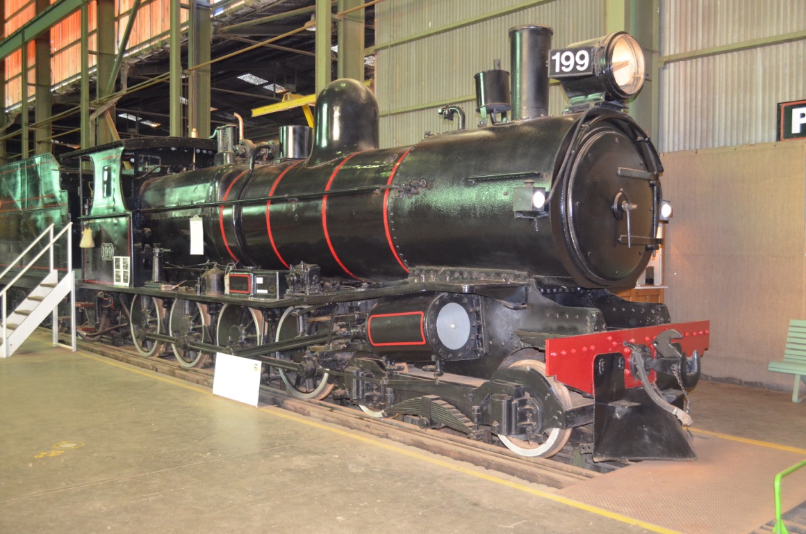
One of 78 ‘T Class’ locomotives built by South Australian railways (in Gawler) during the period 1903-1917. These were built for narrow gauge lines. This locomotive was built in 1912 and was decommissioned in 1970.
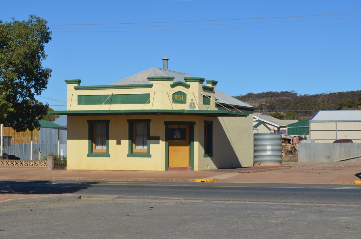
Orroroo Sub-Branch RSL
Orroroo Institute
![]()
![]()
![]()
![]()
![]()
![]()
OR
Copy the link to @yilgiddie Journo below
Another very cold night.
A change of plan was necessitated today as Ann’s hip started to play up and so we felt it would be sensible to get it checked out. She was clearly in pain and had been experiencing some awkwardness over the past few days.
So we high-tailed it down to Adelaide where we believed we’d be able to access better health services than ‘in the bush’.
The road down to the city was fairly good, although we began to lament the increasing volume of traffic the closer we got to our destination.
We were fortunate that we found a caravan park (no free parking in the city!) over the weekend as it was to be a long weekend holiday in Adelaide.
Hahndorf is 28 km east the Adelaide CBD and located in the Adelaide Hills district. It was first settled by Lutheran migrants, many of whom arrived in Australia in 1838 on the ‘Zebra’ and the town was named after the Danish captain of the ship. It is now the oldest surviving German settlement in Australia.
Sir Hans Heysen lived close to the town in the years leading to his death in 1968.
It’s interesting to note that the town was renamed Ambleside in 1917 (many towns in Australia with German place names had their names changed during this time), but Hahndorf’s original name was re-instated in 1935.
After pursuing a number of leads, we attended the Mt. Barker General Hospital in the afternoon and Ann was promptly seen by a young doctor who subsequently arranged for an x-ray of her hips. Fortunately, there was no evidence of any breakage. It seems that the cold weather and lack of any significant exercise had promoted the problem. Some codeine to suppress the pain was prescribed and recommendations to regularly massage the area and introduce some walking into the daily routine were offered.
Total km today: 179
Total cumulative km: 3,721
what3words: chives.nightclubs.brewers
![]()
![]()
![]()
![]()
![]()
![]()
OR
Copy the link to @yilgiddie Journo below
An early start today.
We continue to experience intermittent problems with the hot water system in the van and so were fortunate to arrange a visit to a company in Adelaide which services our brand of hot water system. We left the van with them mid morning and then took ourselves out to Glenelg.
The town was first settled in 1836 and is a few kilometres west of the CBD on the Gulf of St. Vincent. Interestingly, Glenelg is a palindrome.
Diagnosis on the heater was difficult as Murphy’s Law came into play and, when the workshop switched it on, it operated perfectly. Very frustrating! Furthermore, as a long weekend was imminent, there was insufficient time for them to carry out a thorough test. More frustration! We had to be content with returning the van to them on Wednesday morning.....
Total km today: 71
Total cumulative km: 3,793
what3words: chives.nightclubs.brewers
![]()
![]()
![]()
![]()
![]()
![]()
OR
Copy the link to @yilgiddie Journo below
A trip to the physiotherapist this morning (Ann was fortunate to get an appointment at such short notice), which was very successful. Another appointment was made for early next week.
Then back through the Hahndorf village, which wasn’t quite so successful: the through road was close to becoming a parking lot and the pavements were awash with people (I’m not going to get myself into trouble by attempting to describe them....) and so we decided to head back to the van to complete the ever present clothes washing and an attempt to re-level the van. Although the van features suspension with airbag assistance, thus allowing for lateral levelling, the angle of the allotted caravan space was just too much and so there was a need to introduce some lateral thinking (pun intended) so as to create a horizontal plane.
Total km today: 17
Total cumulative km: 3,810
what3words: chives.nightclubs.brewers
![]()
![]()
![]()
![]()
![]()
![]()
OR
Copy the link to @yilgiddie Journo below
It started to rain this morning.
So, instead of sitting in the van all day, we decided to drive ourselves to Victor Harbour (switching.cabinet.heartfelt).
The drive south took us through the outskirts of Adelaide and then along the Southern Expressway, past McLaren Vale - a significant South Australian wine growing area - through to Victor Harbour. Very productive land, ideal for viticulture.
Perhaps the cold and wet weather adversely affected our view of Victor Harbour, but neither of us was particularly enthralled with the place. Nevertheless, fish and chips, huddled beneath a tree whilst it drizzled beside us, was the order of the day, followed by coffee in a nearby pizza joint.
Then back on the road again, to return via Goolwa and Strathalbyn. The latter town, established in 1839, features some lovely old buildings and it’s clear from the grandeur of St. Andrews Uniting Church, that the town prospered in its day. The church was originally established in 1844 by Scottish Presbyterians, but since then has been enlarged to include transepts, a larger nave, porch and a bell tower.
A miserable day, enlightened by an interesting drive.
Total km today: 183
Total cumulative km: 3,996
what3words: chives.nightclubs.brewers
Victor Harbour
Victor Harbour
![]()
![]()
![]()
![]()
![]()
![]()
OR
Copy the link to @yilgiddie Journo below
A sunny day at last.
A relaxing lunch with Graham and Barbara Capper at the Bridgewater Inn (saucer.inheriting.headstrong) was the day’s focus.
what3words: chives.nightclubs.brewers
![]()
![]()
![]()
![]()
![]()
![]()
OR
Copy the link to @yilgiddie Journo below
A lovely day.
This morning we went into Mount Barker to do some grocery shopping and returned for an early lunch before driving out to Nairne to visit Ann’s daughter-in-law’s mother and her husband.
The Cranwells are one of South Australia’s largest growers of brussel sprouts and we were given a tour of one of their processing facilities. Very impressive - more especially as they have to contend with the high, and often tortuous, demands of the large retailers.
An interesting day.
Total km today: 48
Total cumulative km: 4,044
what3words: chives.nightclubs.brewers
![]()
![]()
![]()
![]()
![]()
![]()
OR
Copy the link to @yilgiddie Journo below
A very early start this morning in order for us to get the caravan down to be checked out for the problem with the hot water system.
It had rained for most of the night and hooking up the van in the dark and in the pouring rain wasn’t the most enjoyable experience - and then unhooking it at the repair shop later: again in the pouring rain.
Nevertheless, we left it there for the morning and subsequently collected it early in the afternoon after visiting the Central Markets and the Art Gallery of South Australia. Thankfully, they were able to find a loose electrical connection (which I hadn’t been able to detect) and reported everything in order.
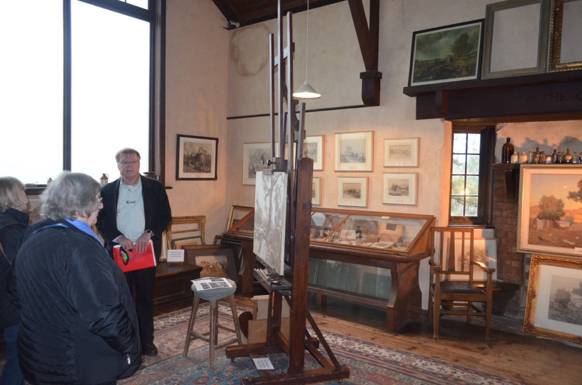
Later in the afternoon we visited ‘The Cedars’ in Hahndorf (jeep.hooch.kept). The Cedars is the family home of Sir Hans Heysen and we were able to join a guided tour of the house, its garden and the studio. Having seen some of the country which he had visited, and painted, in the Flinders Ranges, it was good to have rounded off this knowledge with something very personal about his life and family.
Total km today: 82
Total cumulative km: 4,126
what3words: chives.nightclubs.brewers
The studio at The Cedars
The studio at The Cedars
The garden at The Cedars
The garden at The Cedars
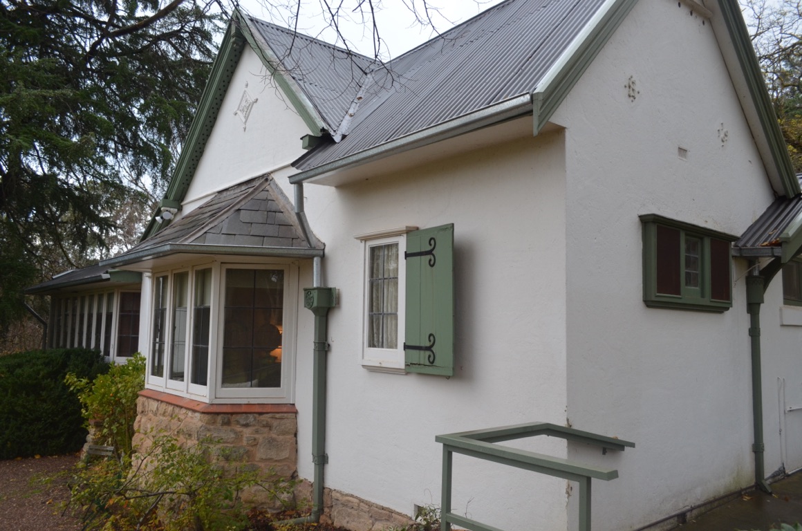
The house at The Cedars
![]()
![]()
![]()
![]()
![]()
![]()
OR
Copy the link to @yilgiddie Journo below
Away at last!
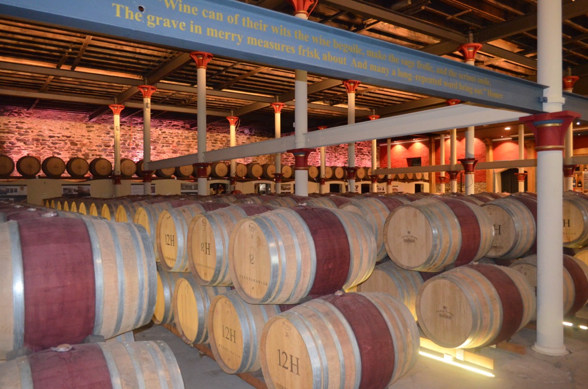
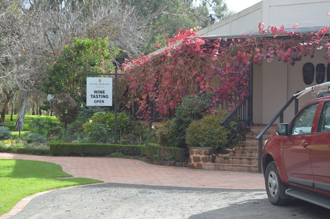
We drove out of the Adelaide area via the Barossa Valley, calling in briefly to Chateau Tanunda (reshape.oozy.grabby) and then to Peter Lehmann Wines (back.edition.easing) where we sampled a few of their wares. Then on through the Clare Valley.
The country surrounding the wine growing areas was extraordinary in that every square metre of productive land was planted out with vines. It’s a very pretty area and will certainly be worth visiting again sometime. Hopefully it won’t rain quite as much as it did during the day.
We ended up for the day just outside Redhill, just off the Augusta Highway which connects Adelaide with Port Pirie and which provides an overnight RV stop for self-sufficient travellers.
Total km today: 269
Total cumulative km: 4,395
what3words: arcade.spends.famously
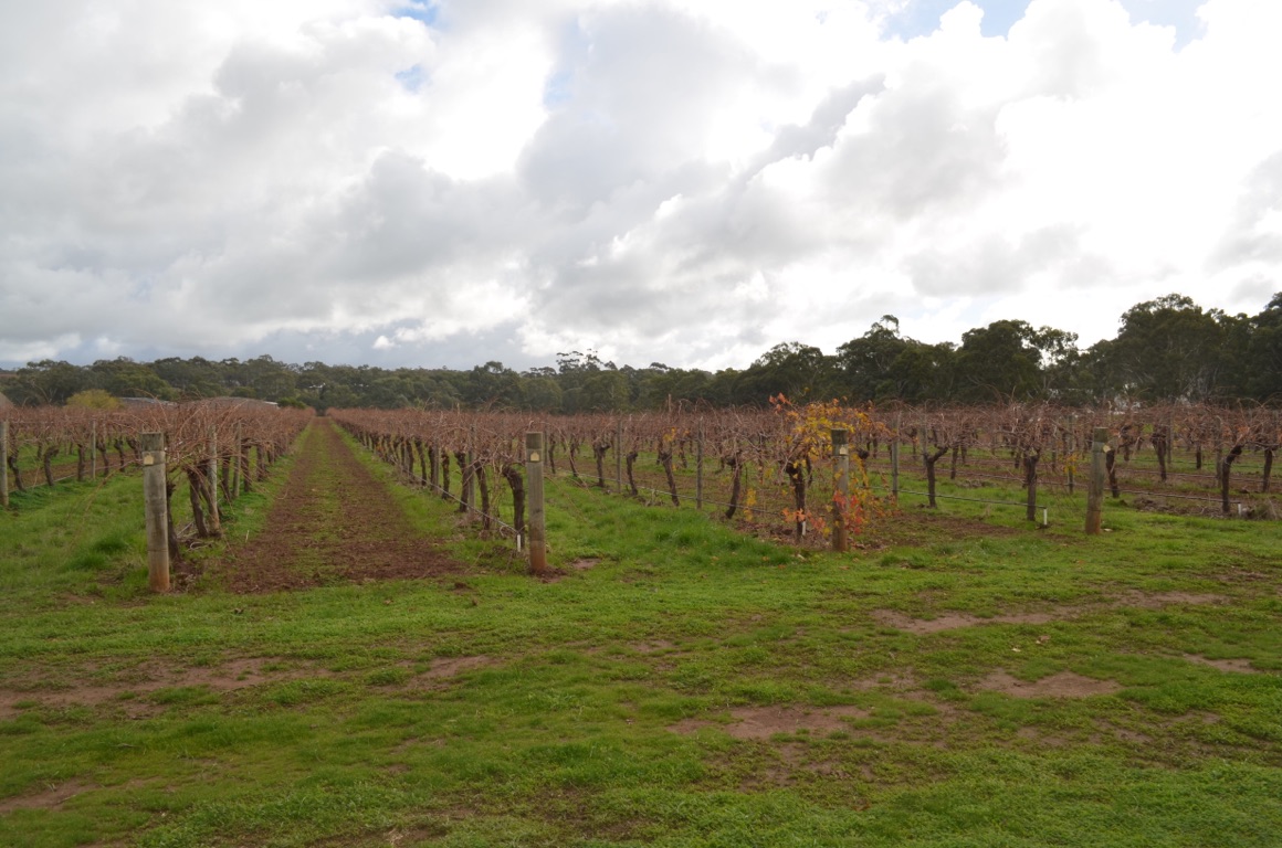
Part of the Peter Lehmann vineyards
Chateau Tanunda
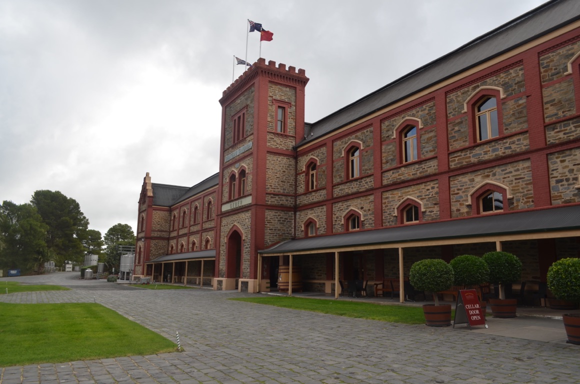
Chateau Tanunda
Peter Lehmann Winery
![]()
![]()
![]()
![]()
![]()
![]()
OR
Copy the link to @yilgiddie Journo below
We left Redhill reasonably early after making a gold coin donation at the General Store for our overnight stay. Redhill sits beside the main highway linking Port Wakefield with Port Pirie and yet it is slowly dying. Very sad.
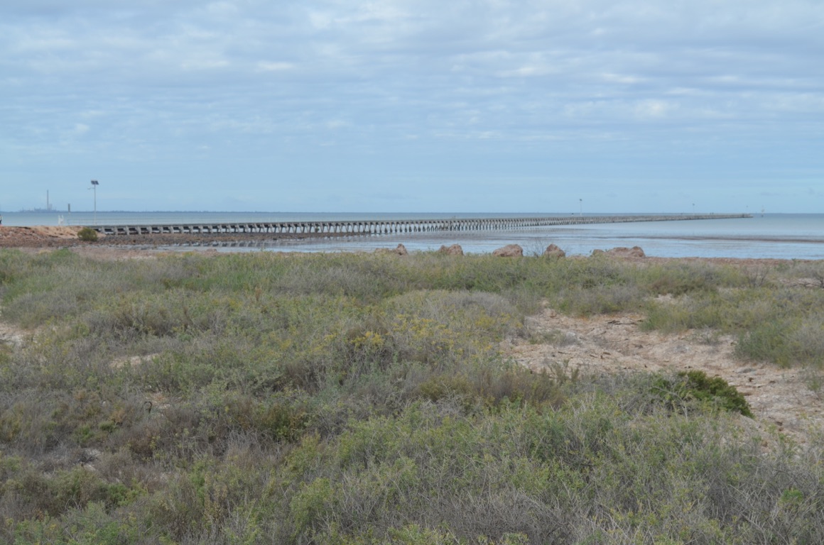
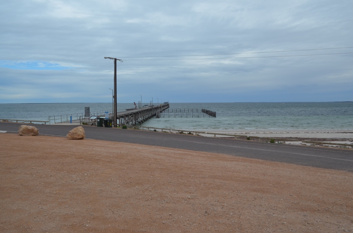
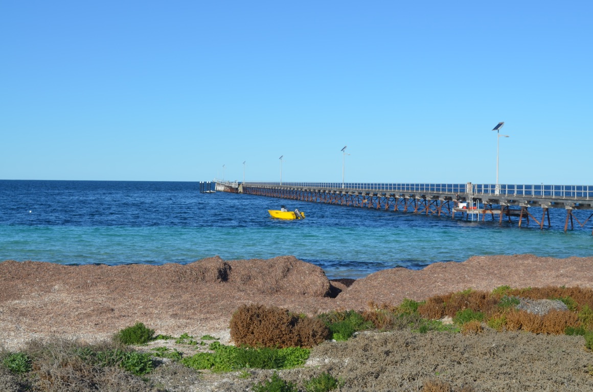
We continued our drive north to Port Augusta, along the eastern side of the Spencer Gulf, \240calling in to Port Germein (mining.donates.arcade) on the way. The town was established in 1841 when the first settlers felled timber and, ultimately, developed a port to support their grain trade - at one point, Port Germein was the largest grain port in Australia. The town features what is claimed to be the longest jetty in Australia (which carried a railway line) to allow the sailing ships of the day to load grain and other goods for their voyage to Europe. It is said that the majority of these ships set their sights on reaching their destination within 100 days.
One of the more interesting items on display was an Illuminated Clock-Faced Tide Gauge (circa 1800). The gauge, relocated from its original location near the entrance to the Port Pirie shipping channel, was activated by a series of pulleys and chains which rose and fell with the tide and, in turn, operated the dial on the ‘clock face’.
After passing through Port Augusta our road took us south along the western side of the Spencer Gulf to Whyalla.
Time was against us at Whyalla as we wanted to reach Port Gibbon by late afternoon. We found a $5 per night RV park for self-sufficient vans (those who had their own power and water requirements).
Total km today: 342
Total cumulative km: 4,737
what3words: surer.inform.overtakes

Redhill General Store
Port Germein jetty
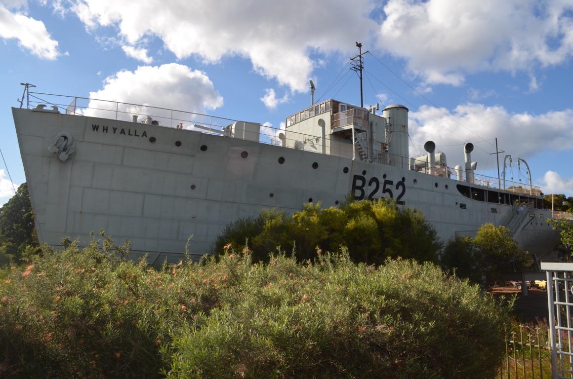
The decommissioned HMAS Whyalla (at Whyalla)
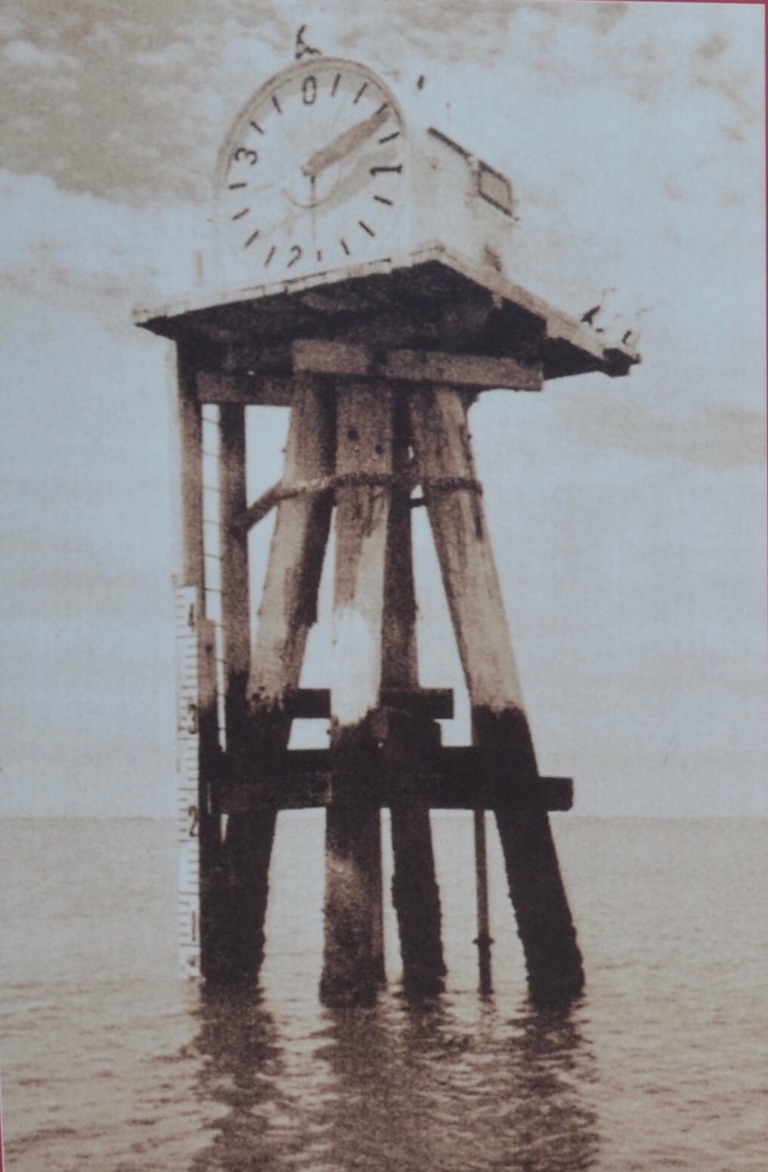
The tide gauge at its original location
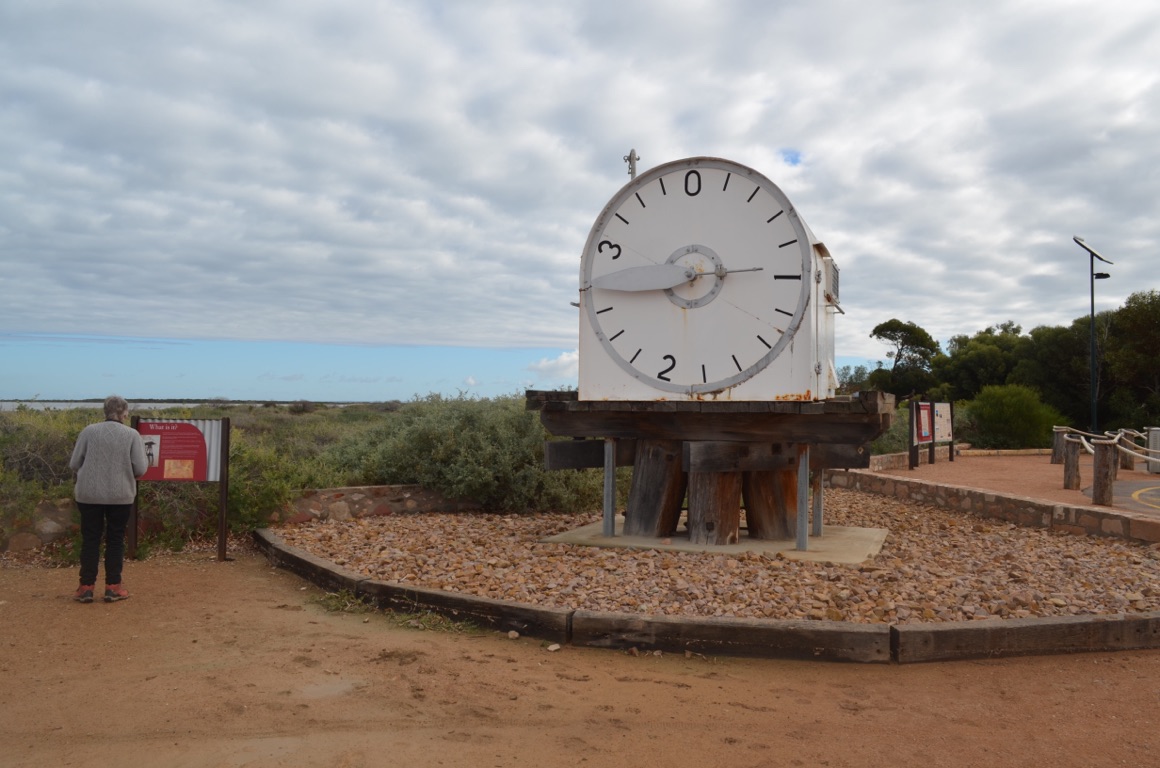
Port Germein’s Illuminated Clock-Faced Tide Gauge
![]()
![]()
![]()
![]()
![]()
![]()
OR
Copy the link to @yilgiddie Journo below
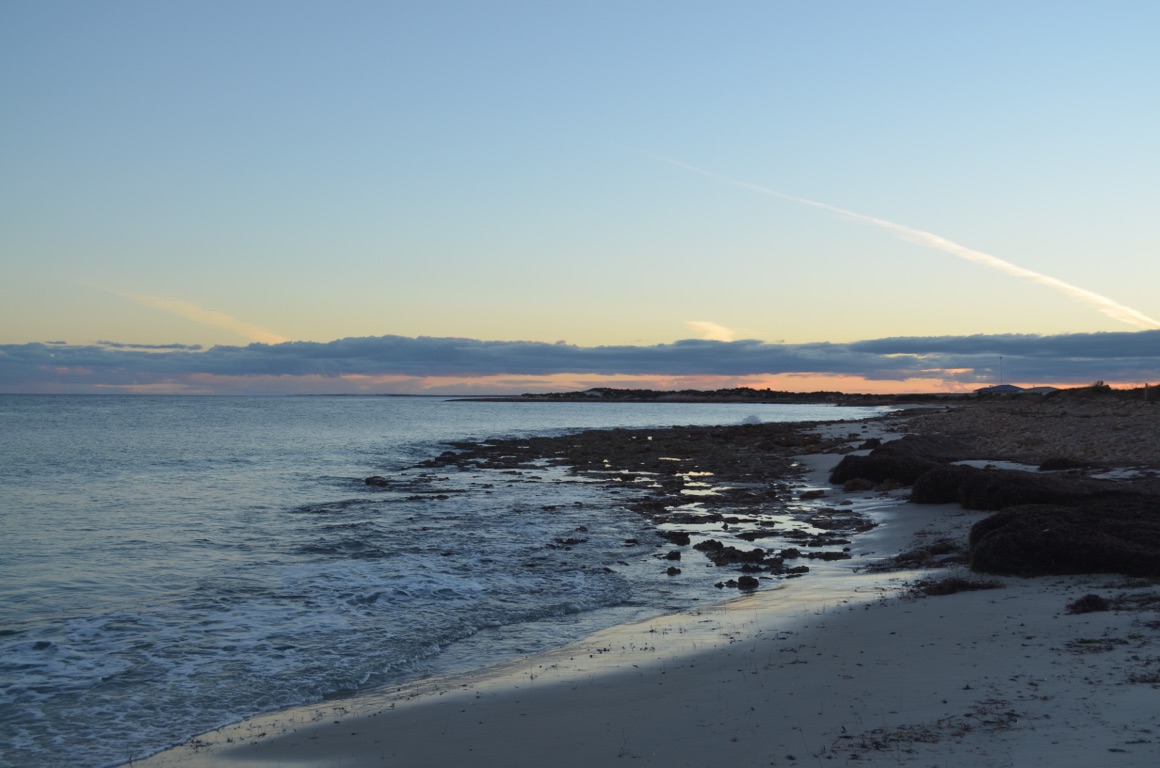
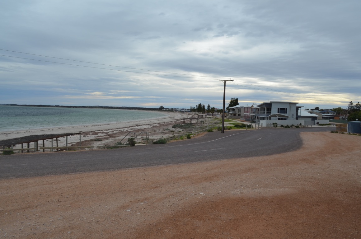
We drove into Cowell (assign.above.pushy) along the coast road during the morning where we had a coffee and generally looked around the town. Cowell seems to rely on both agriculture and fishing for its existence, however, the fishing season was a month or so away and therefore presented few opportunities for buying anything fresh.
On the way to Cowell, we passed several camping sites and decided to relocate to one of them on our return. Flat Rocks was ideal as there was no-one else there (possibly because there were no facilities at all) and offered expansive views (and sounds) of the sea from th caravan.
As a consequence, we had a lazy afternoon.
Total km today: 49
Total cumulative km: 4,786
what3words: newly.kidding.outwit
Flat Rocks

Flat Rocks
![]()
![]()
![]()
![]()
![]()
![]()
OR
Copy the link to @yilgiddie Journo below
![]()
![]()
![]()
![]()
![]()
![]()
OR
Copy the link to @yilgiddie Journo below
We reluctantly left Flat Rocks after a late start and continued to drive south, reaching Arno Bay (jeep.overactive.bookshelf) in time for morning coffee.
The town itself isn’t particularly inspiring but, importantly, has attracted the development of a project to propogate Blue Fin Tuna, Mulloway and Yellow Tail Kingfish. By both altering the water temperature and the number of hours of daylight, the breeding stock are tricked into believing that it’s spawning season and they begin to reproduce. The fertilised eggs are then placed into incubation tanks for a couple of days until they hatch into 4-5mm larvae. These larvae are then placed into larger tanks where they are firstly fed live organisms and then, when they’re a little bigger, brine shrimps. In about a month, they will have grown to about 10-15mm and are fed an artificial diet and then, after another month, they’ll have grown to over 100mm and transferred to off-shore sea cages, situated about 3 km off Arno Bay. The next 18 months will see the fish grow to 3kg and they’ll then be marketed locally and internationally.
Then down to Port Neill (shores.pool.parachutes) to have a quick look before driving a few kilometres further south and found a free camp at Cowleys Beach. The weather wasn’t particularly kind as the wind was quite ferocious and it also started to rain. Nevertheless, it was our home for the night.
Total km today: 82
Total cumulative km: 4,868
what3words: swords.coconuts.numbed

Arno Bay jetty
Arno Bay - on the horizon are some of the sea cages where fish are grown to marketable size
Port Neill
![]()
![]()
![]()
![]()
![]()
![]()
OR
Copy the link to @yilgiddie Journo below
A cold night and a heavy sea swell made for a fitful sleep.
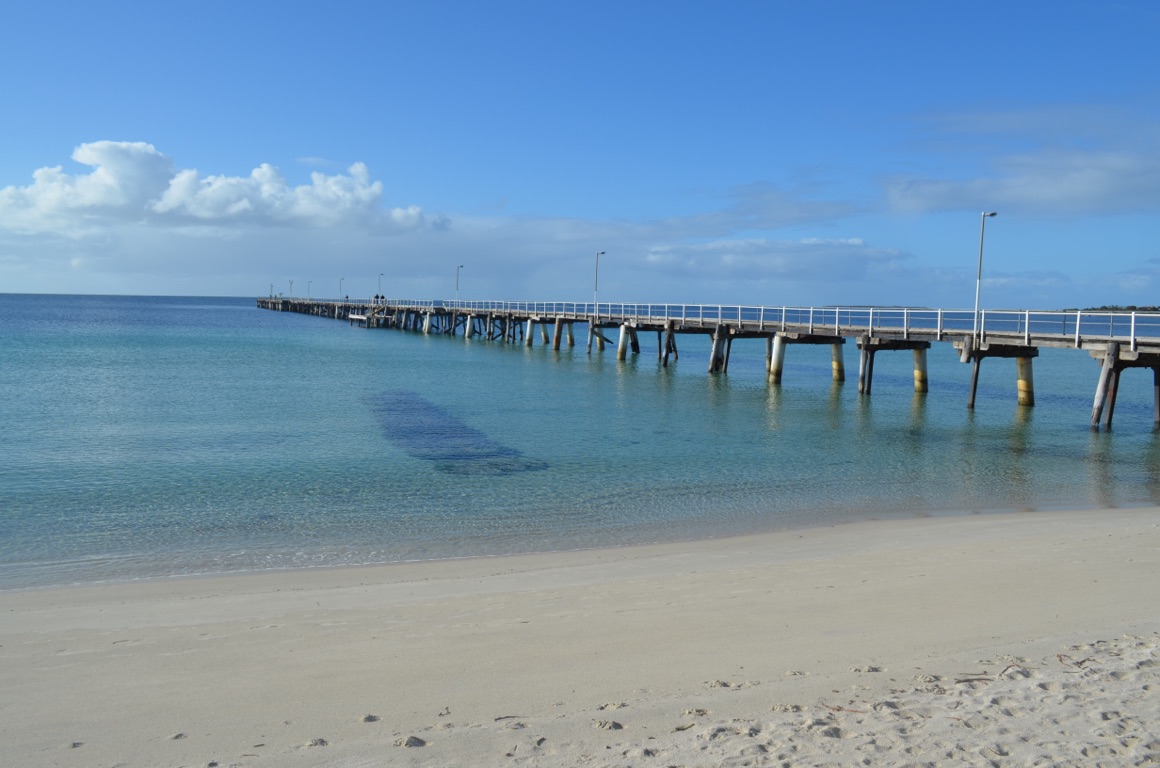
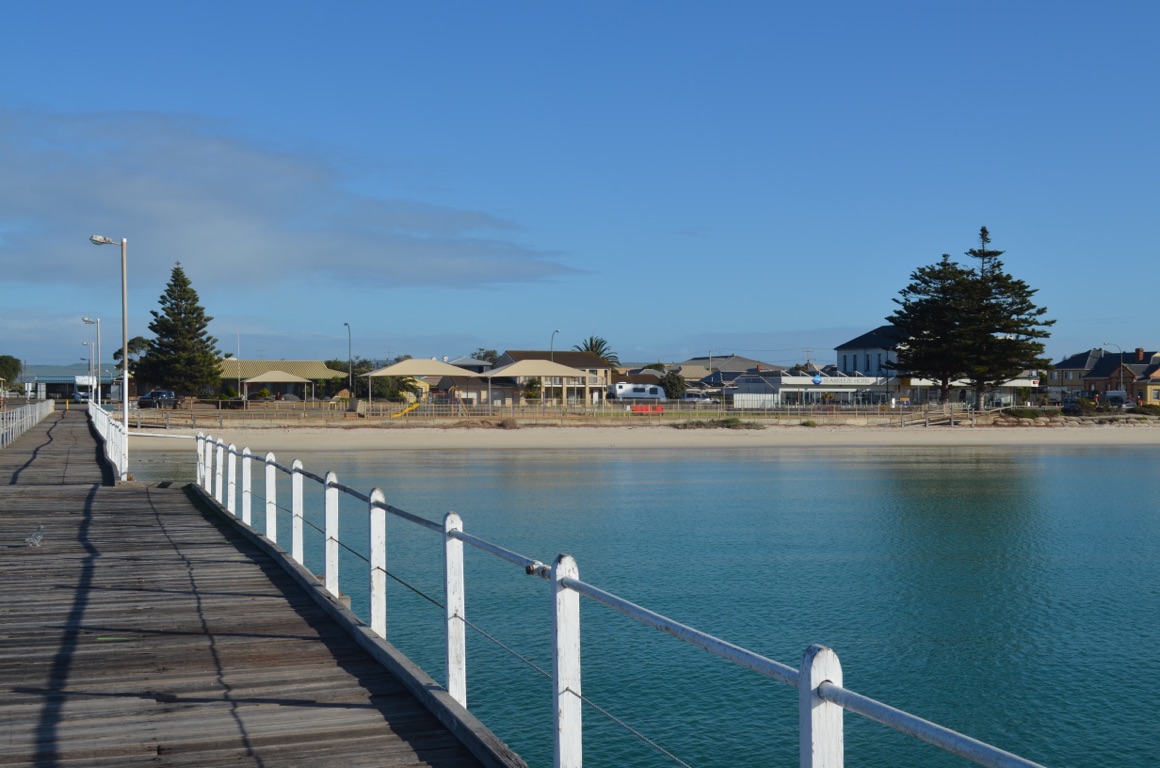
First stop was Tumby Bay. The southern entrance to the town featured painted silos (cracked.skill.dieted), based on a photograph taken of children jumping off the town jetty and completed by an Argentinian artist who completed the mural a couple of years ago.
The town itself was a real surprise. Clearly the area which it serves is very prosperous with fertile soils and grain, primarily wheat, being well managed. It’s a lovely town with protected beaches, wide streets (designed to allow horses to manoeuvre their loads of grain and wool to the jetty), and everything else that would make for a wonderful holiday destination.
And finally, a short drive south to Port Lincoln.
Total km today: 95
Total cumulative km: 4,963
what3words: whilrlpool.averaging.swirly


Cowleys Beach
Cowleys Beach
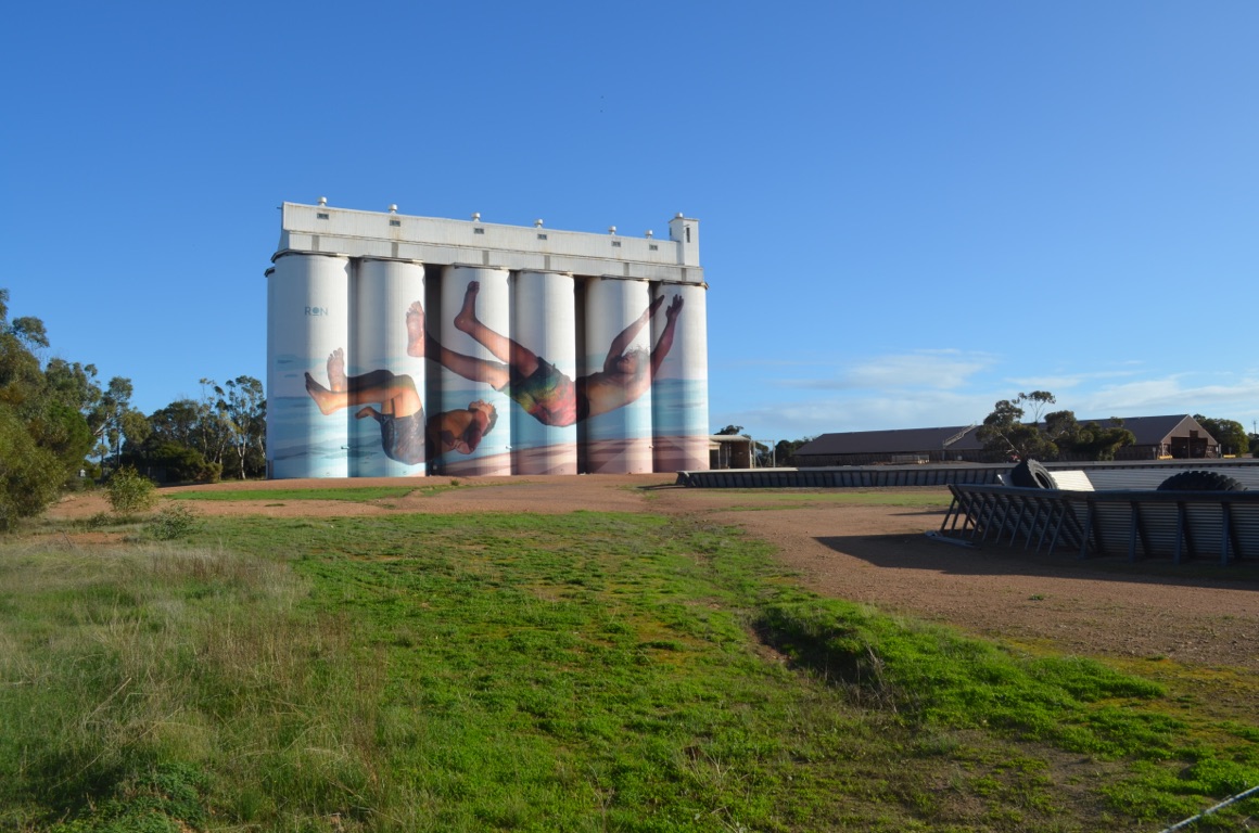
Silo painting at Tumby Bay
Wide streets in Tumby Bay to allow horses to manoeuvre their loads to the jetty.
![]()
![]()
![]()
![]()
![]()
![]()
OR
Copy the link to @yilgiddie Journo below
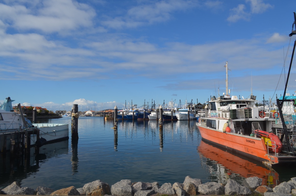
After taking care of washing clothes and other mundane chores associated with booking into a caravan park, we made our way into town and visited the marina which serves both the tuna and crayfish fleet (managers.blazed.trouser). Then into town for a coffee near the Matthew Flinders memorial (backlog.buddy.friz), which sits opposite the grain terminal (dusts.fortunes.forever).
Then up to Winter Hill Lookout for stunning panoramic views of Port Lincoln and the surrounding area (minced.swarms.saunas).
Fish and chips at The Fresh Fish Place (pothole.window.pots) - marked because if anyone is in Port Lincoln, this is the place to buy and eat fish! And then through the Lincoln National Park to Cape Donington (caning.toasting.vowels) where one can view fishing boats coming and going, many seabirds and great views of the area.
A good day!
Total km today: 131
Total cumulative km: 5,094
what3words: whirlpool.averaging.swirly
Matthew Flinders
View of Port Lincoln from Winter Hill

View from Cape Donington
Port Lincoln Marina
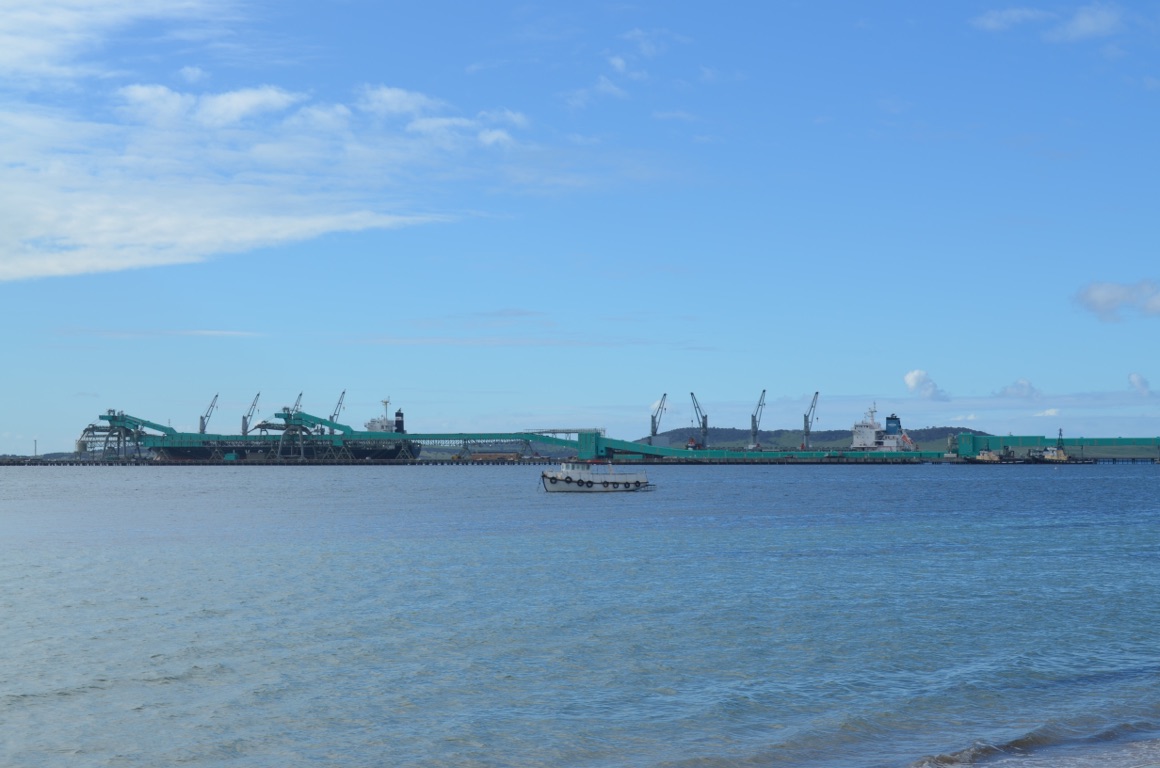
Port Lincoln Grain Terminal
Fishing boats from Cape Donington
Port Lincoln Grain Terminal
View of Port Lincoln from Winter Hill
Port Lincoln Marina
![]()
![]()
![]()
![]()
![]()
![]()
OR
Copy the link to @yilgiddie Journo below
It was raining first thing in the morning and it rained for most of the day - at times, quite heavily.
We decided to drive inland, rather than following the coast road through Coffin Bay. In order to make the drive a little less of an issue (heavy rain and dirt roads), we retraced our tracks, north to Tumby Bay, refuelled and then drove west to Cummins.
After Cummins (action.stark.palely), we ventured further west, having to deal with flash flooding across the road along the way - nothing serious nevertheless it certainly proves how quickly conditions can change.
The country on the western side of the peninsula appeared to be far less productive than on the east.
Interestingly, we came across quite a few stone walls, built either for windbreaks, stockyards or (deserted) homestead boundaries.
We stopped briefly at Elliston and visited the old jetty (wiki.spins.yachts). For a long time the town was isolated and totally dependent on shipping until basic roads were formed in the late 1950s - regular shipping ceased in 1965. The SS Yandra was used on the run between Port Adelaide, Elliston and other coastal ports.
Our overnight stop was at Walkers Rock, just a few kilometres north of Elliston.
Total km today: 214
Total cumulative km: 5,308
what3words: kinds.nanny.justly
Elliston Jetty
Elliston
Elliston
Elliston
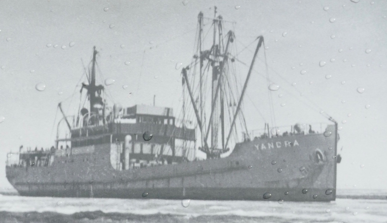
SS Yandra
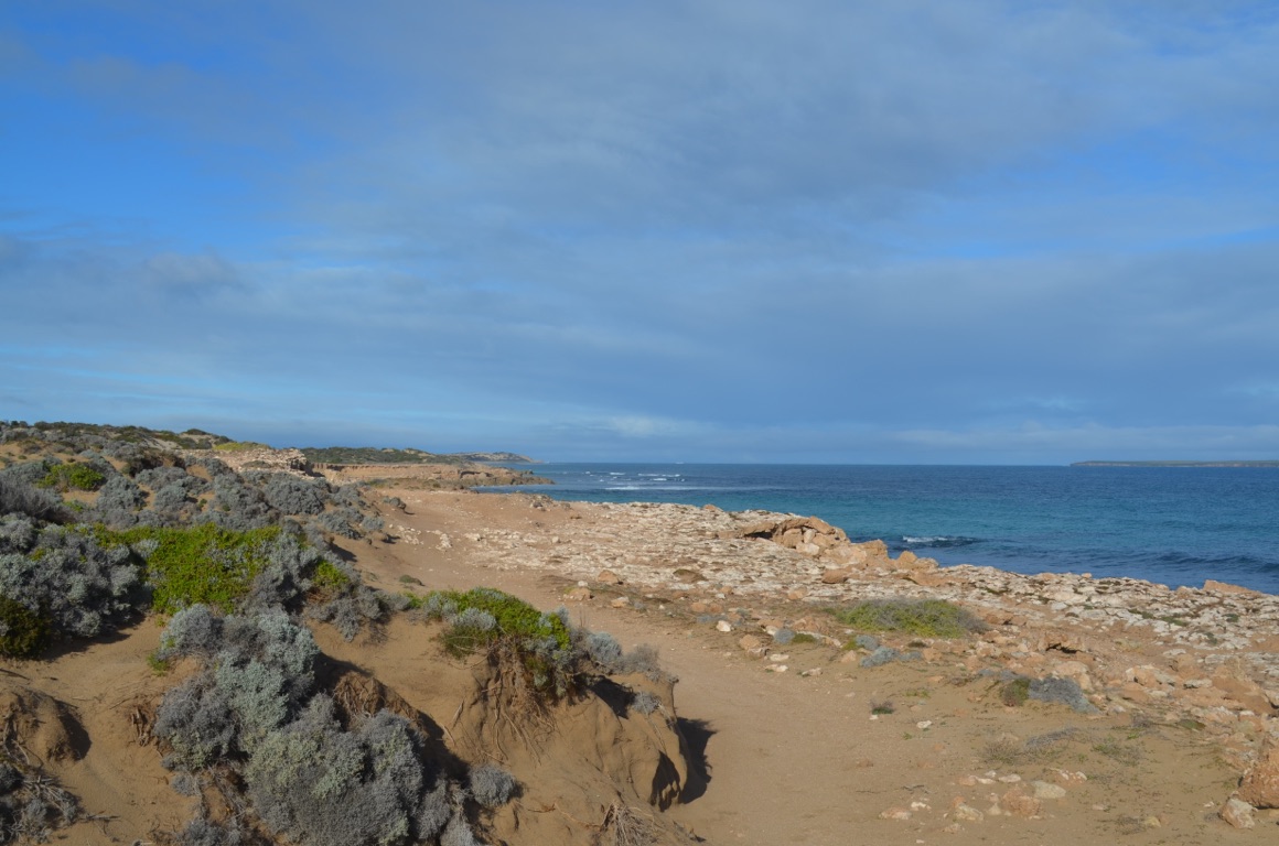
Walkers Rock
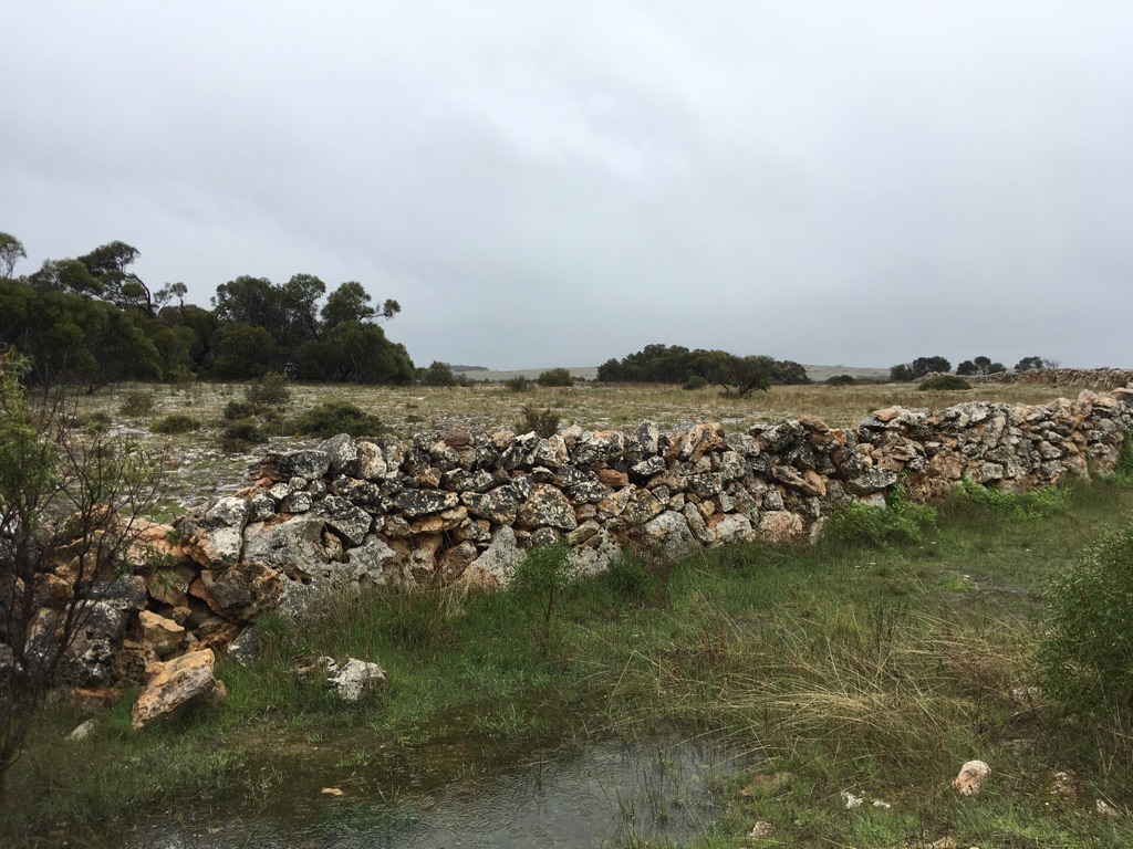
Stonewall
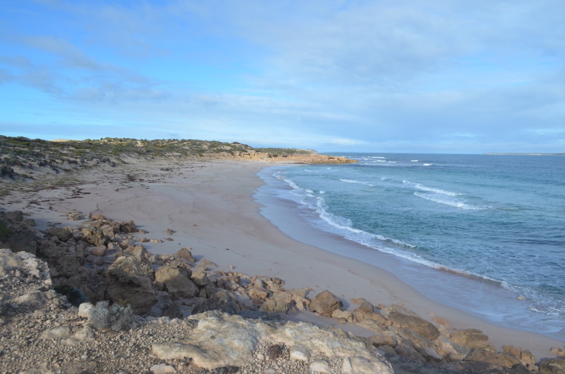
Walkers Rock
Stonewall
![]()
![]()
![]()
![]()
![]()
![]()
OR
Copy the link to @yilgiddie Journo below
The weather was a little warmer overnight - but not much! We had the whole campsite to ourselves and, after a late start, continued our journey north. Along the way, we encountered extensive grazing and pastoral country connected with long, straight roads.
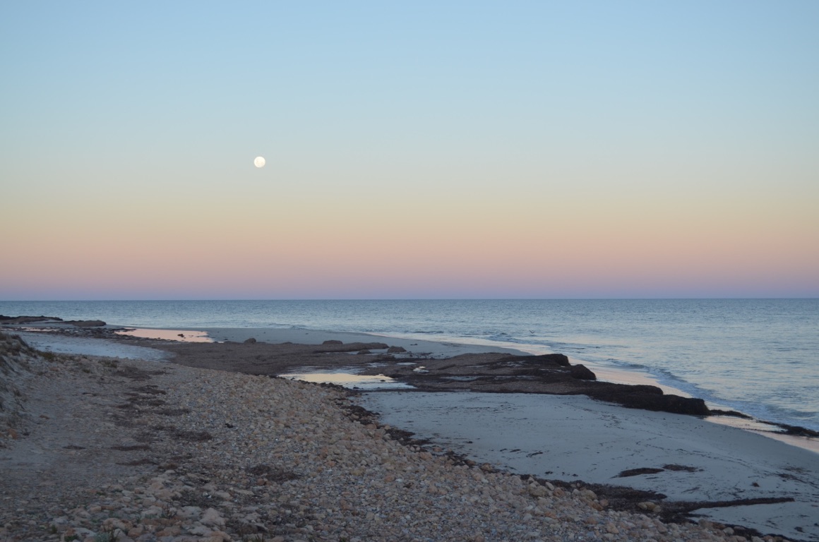
We saw a sign, just short of Venus Bay, and followed it through for a few kilometres, despite the fact that our map didn’t show it, until we came across Mt. Camel Beach. A great spot, bathed in sunshine and with spectacular panoramic views. We decided to stay overnight.
Total km today: 46
Total cumulative km: 5,354
what3words: thundering.wholesome.paperback
Extensive grazing and pastoral country
Views from our site overlooking Mt. Camel Beach
Mt. Camel Beach
Views from our site overlooking Mt. Camel Beach
Mt. Camel Beach

Sunset at Mt. Camel Beach
Views from our site overlooking Mt. Camel Beach
Mt. Camel Beach
![]()
![]()
![]()
![]()
![]()
![]()
OR
Copy the link to @yilgiddie Journo below
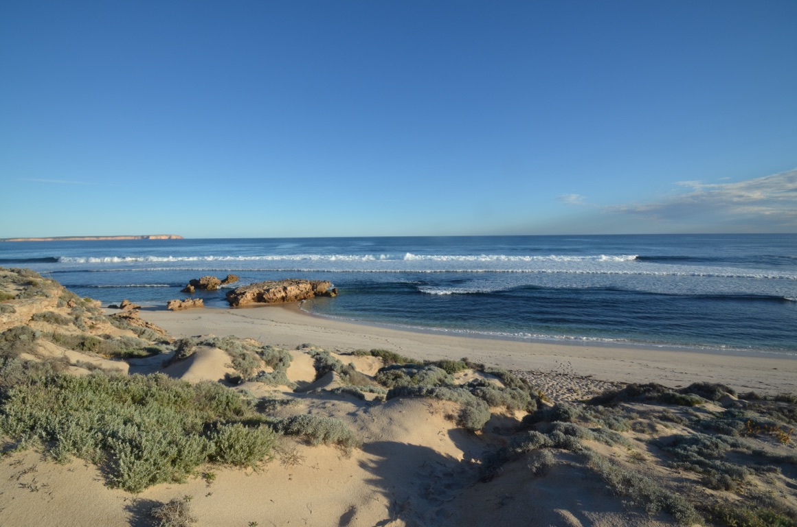
We drove the short distance north to Venus Bay - clearly much admired by those who have chosen to establish holiday houses there. Our estimate is that there about 70 houses in the community, of which about 10% are occupied full time. Then on through Port Kenny which wasn’t at all inspiring.
A little further up the road we turned westward towards the coast for about 40 kilometres until we reached Point Labatt.
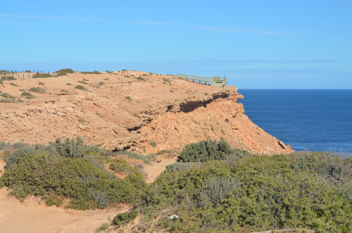
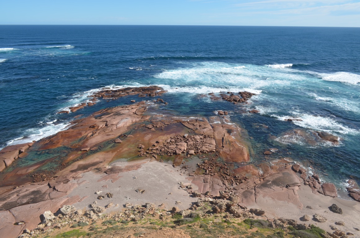
This is where an Australian sea lion colony has established itself. The mammal was hunted to the brink of extinction until commercial sealing ceased in the early 1900s. They remain endangered as they prefer to feed off the ocean floor which exposes them to predators and randomly scattered marine debris. However, the protected environment surrounding Point Labatt is rich in their preferred food resources such as fish, squid, octopus, cuttlefish, oysters, crabs and crayfish.
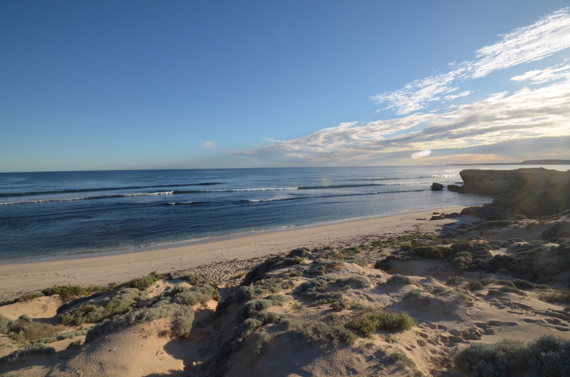
Apart from being able to view sea lions in their natural habitat, the scenery is quite spectacular and most definitely worth the visit.
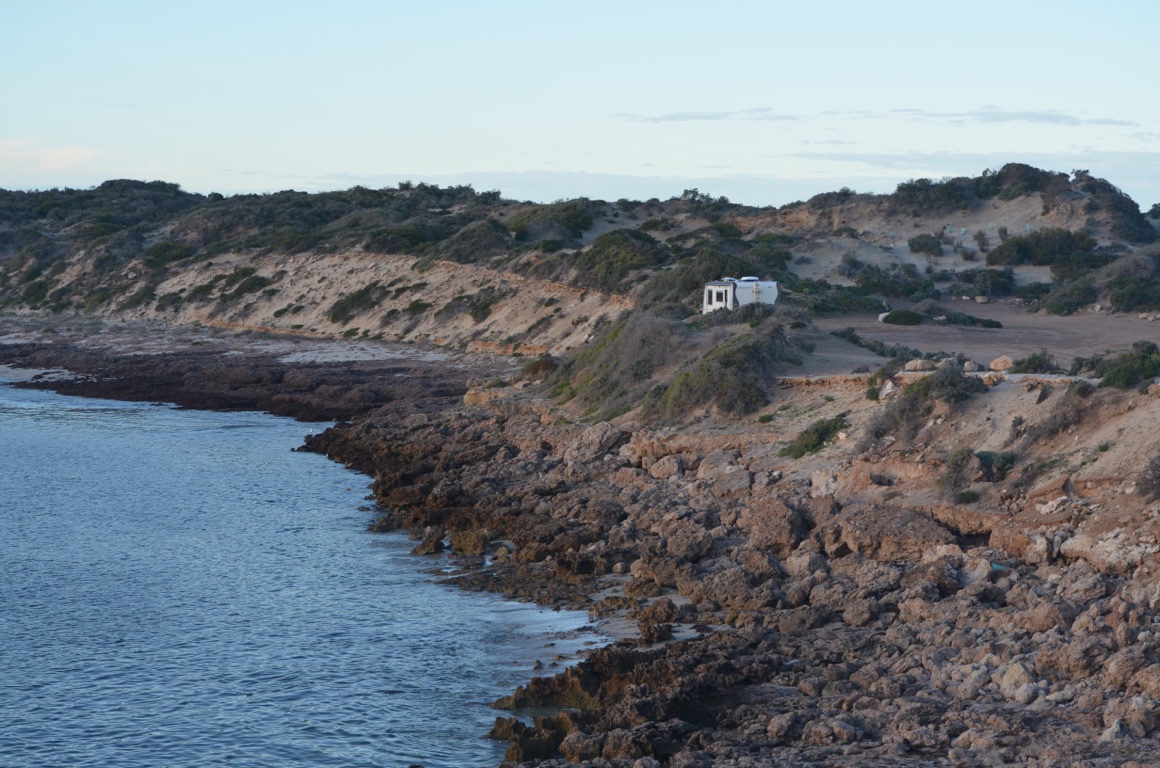
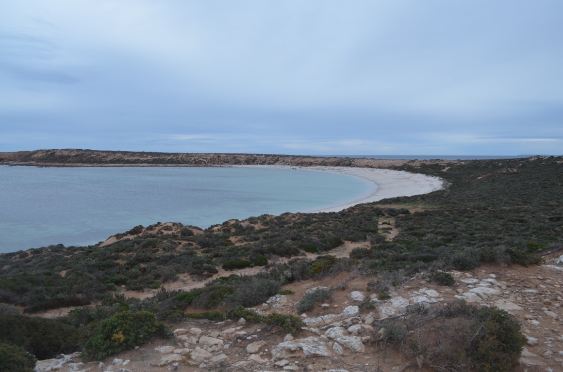
We then continued further north and a little west until we found Speeds Bay where there is a ‘free’ camp (actually $10 per night via an honesty box). We were, again, almost on the beach with great views.
Total km today: 141
Total cumulative km: 5,636
what3words: barge.cherries.muddy
Point Labatt lookout
Point Labatt (sea lions in the foreground)
Overnight stop at Speeds Point
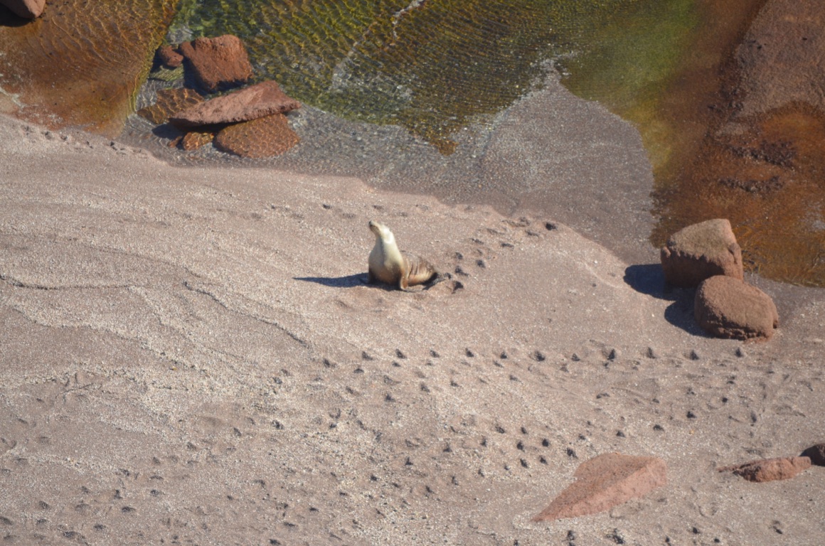
A sea lion at Point Labatt
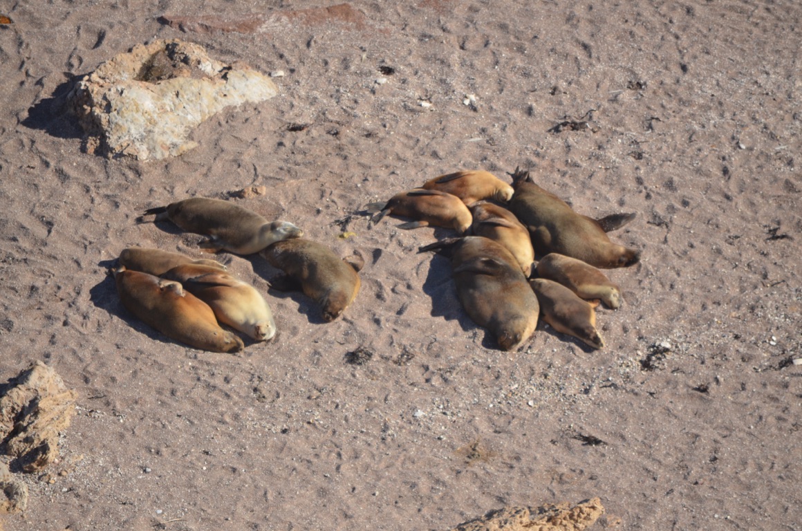
Sea lions at Point Labatt
Speeds Point
Speeds Point
![]()
![]()
![]()
![]()
![]()
![]()
OR
Copy the link to @yilgiddie Journo below
The scenery continued to inspire and so we journeyed further north to find another spot along the coast.
We found it at Point Brown (surprisingly, at the end of Point Brown Road). There we a couple of fishermen at the beach, who went home at the end of their day, and we had the entire place to ourselves - again. The weather allowed us to sit outside for a while until later in the afternoon.
The following morning was really cold and we learnt later on that, although the temperature was 11°C, the wind chill factor has brought it down to 3°C.
Total km today: 124
Total cumulative km: 5,760
what3words: fudging.trios.lake
Cold morning at Point Brown before we left on 24 June
![]()
![]()
![]()
![]()
![]()
![]()
OR
Copy the link to @yilgiddie Journo below
Our plan to stay a couple of nights at Point Brown were dashed as soon as we learnt the weather forecast was offering very cold days.
A drive through Smoky Bay was interesting as the last time we were there, in 2003, the town has barely been developed.
We drove on to Ceduna and decided to stop overnight in one of its caravan parks to prepare ourselves for the long stretch into Western Australia. Our plan is to get to Norseman (just over 1,300 kilometres) and then turn south to the coast.
Ceduna itself was enduring one of its coldest days for a while so, apart from shopping, there wasn’t any incentive to go walking anywhere else.....
Total km today: 73
Total cumulative km: 5,833
what3words: download.suspicions.writers
Smoky Bay
Smoky Bay
![]()
![]()
![]()
![]()
![]()
![]()
OR
Copy the link to @yilgiddie Journo below
Fortunately we woke up to glorious sunshine - possibly the best we’d experienced since leaving Queensland.
Leaving Ceduna, to us, always seems like leaving the Eastern States and venturing into the West - although, of course, the SA/WA border is almost 500km away.
Nevertheless, we stopped briefly at Penong to view their collection of windmills (merged.flaked.idealist), including what is reputed to be Australia’s largest.
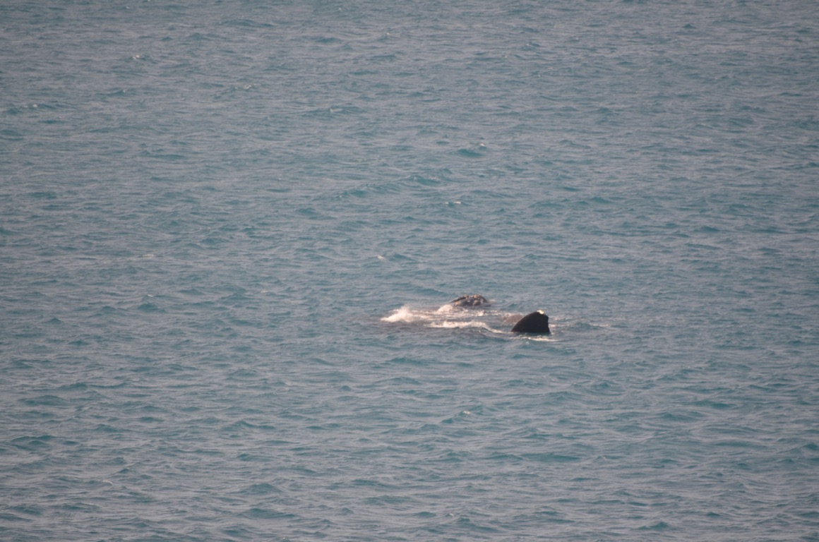
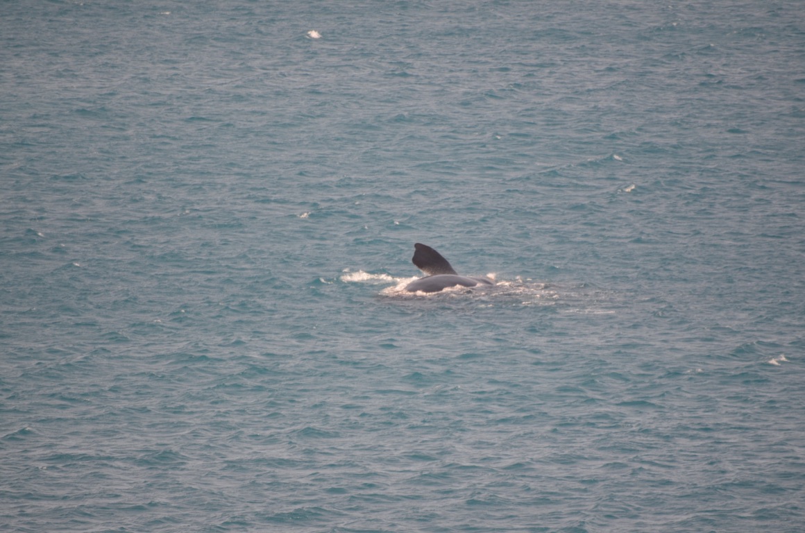
And then on to Fowlers Bay. It seems that Southern Right whales gather here to breed at this time of year and so we decided that a visit was justified. We’ve booked \2403 hour ‘whale watching’ boat trip tomorrow morning, although it’s dependent upon the weather.
What attracted us more than anything else was the warmth and sunshine - although the weather forecast suggests we make the most of it.....
Total km today: 142
Total cumulative km: 5,975
what3words: directory.signed.misted
Fowlers Bay jetty
Fowlers Bay: old Telegraph Station
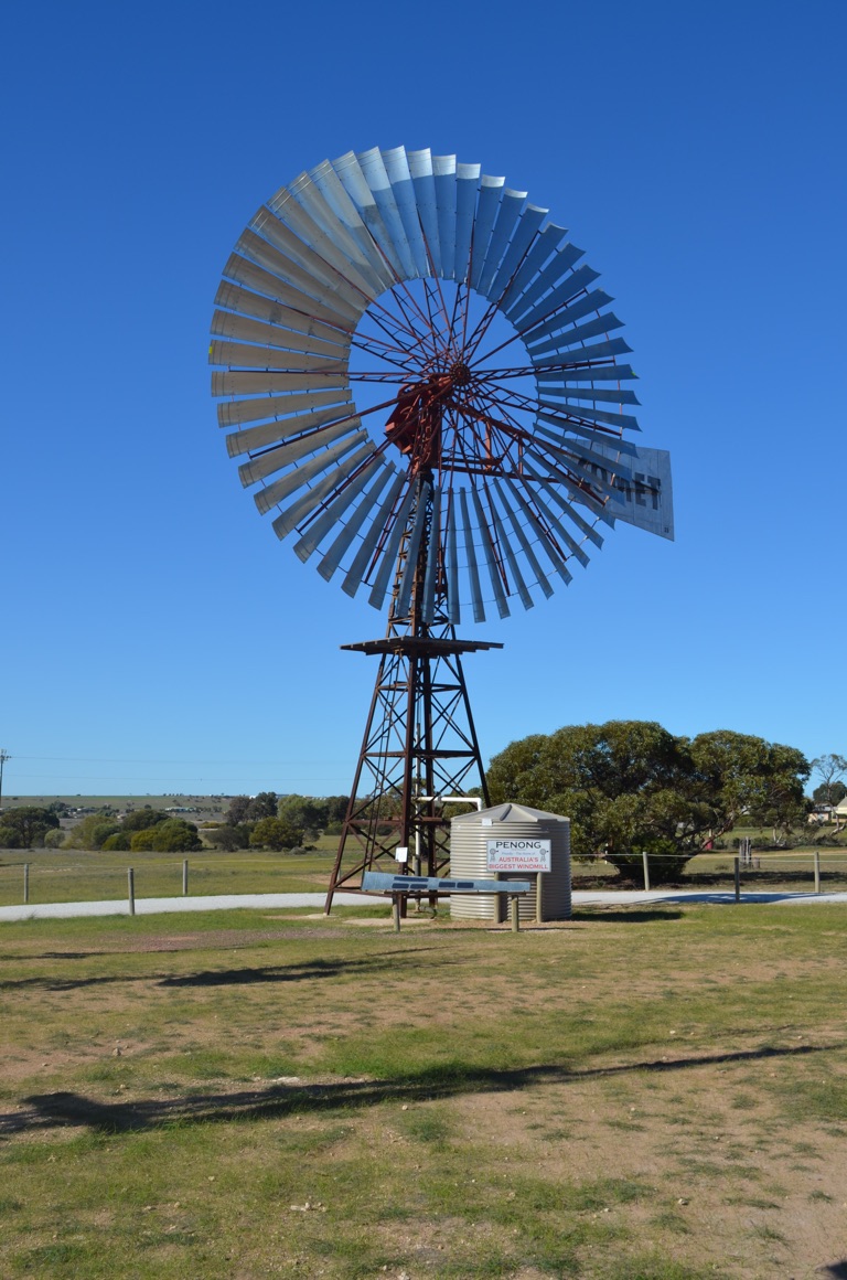
Australia’s largest windmill at Penong
Fowlers Bay: old Police Station and Courthouse
![]()
![]()
![]()
![]()
![]()
![]()
OR
Copy the link to @yilgiddie Journo below
We turned up at 09:30 as requested, but, although the weather looked fine, evidently the whale watching man had assessed that one of the whales was pregnant and because the wind was north-easterly and gusting over 25 knots, he decided not to take his boat. He’s been offering his tours for 12 years and clearly has a good understanding of what’s OK for the whales and what’s not. And who are we to contradict him?
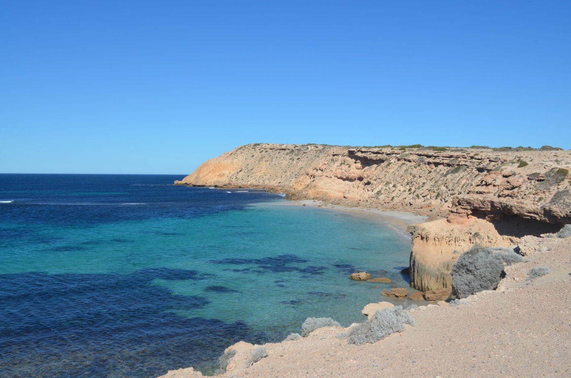
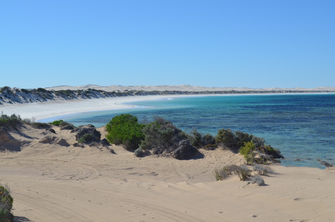
So, after cooking up all the vegetables that would not otherwise have passed the quarantine inspection at the SA/WA border, we took ourselves off to Scotts Bay (shorter.accounted.reconnect) and walked up to Scotts Head (stricktest.whom.scoreboard) where we marvelled at the extraordinary vista that opened up.
South Australia doesn’t seem to promote the diversity of its State to potential tourists - a shame as there’s so much to see and enjoy if people are prepared to go off the beaten track to find them......
Total km today: 36
Total cumulative km: 6,011
what3words: directory.signed.misted
It’s almost impossible to capture the majesty of many of the panoramas we saw - it’s just too massive.....
Scotts Head
Scotts Bay
Off Scotts Head
Scotts Bay

Off Scotts Head
![]()
![]()
![]()
![]()
![]()
![]()
OR
Copy the link to @yilgiddie Journo below
Fowlers Bay was blustery to say the least when we left in the morning.
Nundroo was only 32km away, where we refueled.
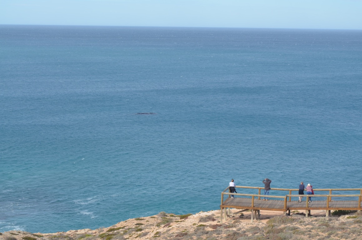
The next stop was Head of Bight which, a few years ago, one could drive in unimpeded but now there is a 12km bitumen road leading to a joint Federal/State government funded facility where one has to pay for the privilege of viewing the site. Admittedly it’s very well done. One would expect to see Southern Right whales here during the period June through September and we saw at least two, possibly three, with their calves. A very blustery experience!
After returning to the highway and refueling at Nullarbor Roadhouse, we ventured a few kilometres west before turning south down a dirt track, past Gilgerabbie Hut, and then further down to the coast. I suspect we were the only people around for a long way......
Total km today: 222
Total cumulative km: 6,233
what3words: swigs.manure.alliances
Our stop for the night at Bight View (well, not quite there)
Great Australian Bight Marine Park
Great Australian Bight Marine Park
Great Australian Bight Marine Park

Great Australian Bight Marine Park
Great Australian Bight Marine Park
![]()
![]()
![]()
![]()
![]()
![]()
OR
Copy the link to @yilgiddie Journo below
The clouds looked a little ominous this morning, nevertheless, we opted to drive further west along the bush track alongside the cliffs, until, a few kilometres along, the track north which would have connected us to the highway was blocked off and, furthermore we had to reverse the van for half a kilometre to be able to turn around. Extraordinarily, we did this without too much argument! It just had to be done.
Having returned to the highway several kilometres later, the tyres (all six of them) had to be re-inflated. So an extended coffee stop was called for.
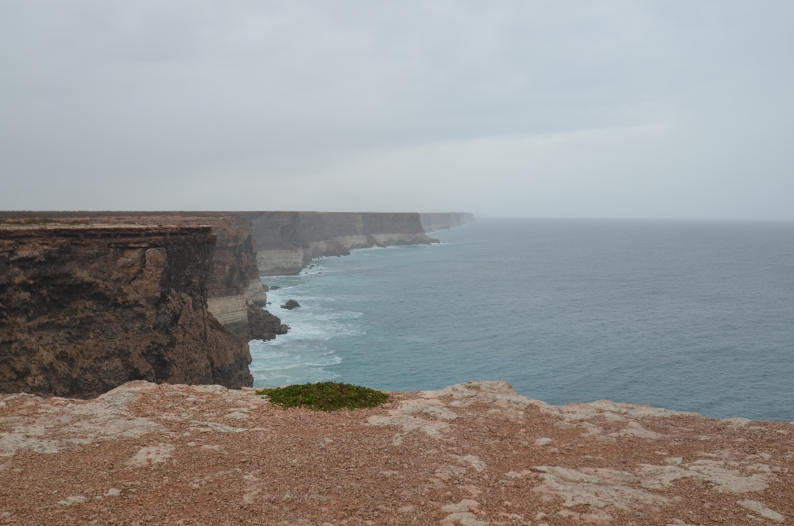
The next stop was a lookout, Bunda Cliffs, (admiral.solutions.transforms) a few hundred metres off the road. Undoubtedly the view would have been spectacular were it not for the rain. Nevertheless, once a rain break presented itself, we walked to the end of the boardwalk and took a couple of photos.
Then on to a proposed overnight stopping place about 10 kilometres east of the SA/WA border which we decided wasn’t entirely suitable as it would have required us to step into a quagmire. Although the rain wasn’t torrential, it had turned a perfectly good parking bay into a min-pond.
So, having passed through the very thorough quarantine inspection at the State border, we drove another a few kilometres to the Eucla Roadhouse to refuel and book into the very basic caravan park for the night......
Total km today: 208
Total cumulative km: 6,441
what3words: buildings.spatulas.trends
View from Bunda Cliffs lookout
![]()
![]()
![]()
![]()
![]()
![]()
OR
Copy the link to @yilgiddie Journo below
A very cold morning!
But today was going to be a long day....
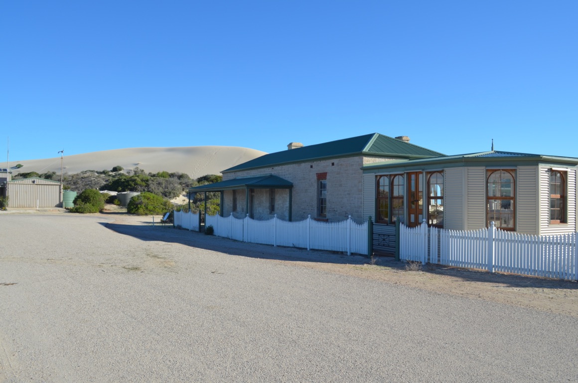
Our first stop was the old Telegraph Station, about 5km south of the ‘new’ Eucla and where we stayed overnight. I don’t have the details to hand which describes the time during which the station operated but it was over the turn of the century and before the sand dunes overtook the place. It was a thriving little community which served a valuable service.
Our drive took us through Mundrabilla, Madura and then Caiguna where we refuelled. We then entered the ‘90 mile straight’ which is claimed to be the longest straight stretch of road in the country. Just before we got to the end of it, we stopped a few kilometres short of Balladonia where we found a road stop which suited us.
Total km today: 475
Total cumulative km: 6,916
what3words: pleaser.biting.plump
Remains of the old Telegraph Station at Eucla
Remains of the old Telegraph Station at Eucla
View from the ‘new’ Eucla, overlooking the old Telegraph Station
![]()
![]()
![]()
![]()
![]()
![]()
OR
Copy the link to @yilgiddie Journo below
Another really cool start to the day.
It was a 150km drive into Balladonia for another fuel stop and then back a few hundred metres to the turnoff south to the coast. Unfortunately, the signpost which greeted us just after entering the turn made a mockery of our plan as it told us that a bridge, only 100km to the south had a load limit of 3 tonnes (our cumulative weight is just over 6 tones).
So, we had to continue west along the Eyre Highway.
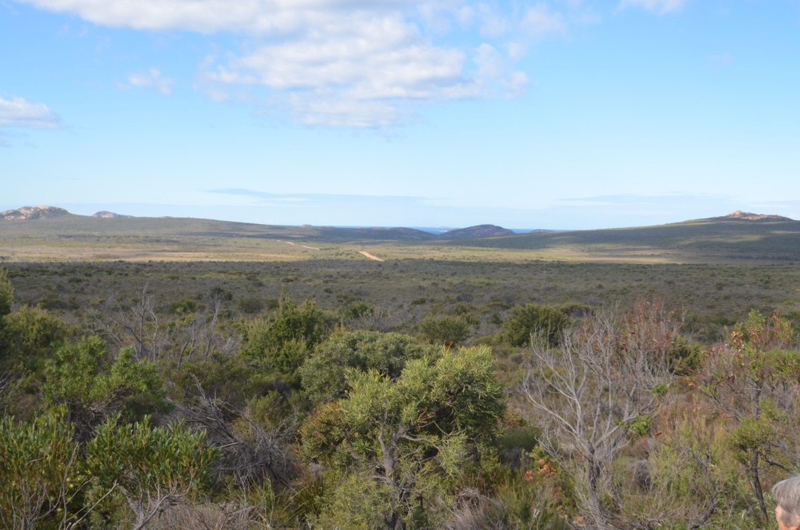
Our lunch stop was at the northern end of the Great Western Woodlands - this is the largest remaining area of intact Mediterranean climate woodland on earth, covering almost 16 million hectares (about the size of England). Quite something!
We drove through to Norseman and then turned south towards Esperance, but stopped for the night several kilometres down the road to the Bromus Dam where there’s a (free) campground for overnight stays.
Total km today: 277
Total cumulative km: 7,193
what3words: nearing.breakdown.regretful
![]()
![]()
![]()
![]()
![]()
![]()
OR
Copy the link to @yilgiddie Journo below
Yet another cold night - well, it is winter!
The road south towards Esperance was interesting in that the woodlands that we passed on the way to Norseman continued for 50 or so kilometres and then, all of a sudden, we were into cropping country. It seems that much of this country was allocated to soldier settlers, in very small lots, and over time these were amalgamated so that many of the properties we saw were quite large - as evidenced by the huge machinery required to manage it all.
It was this area which suffered a very significant bushfire towards the end of 2015. A number of lives were lost as well as several properties and huge tracts of cropping country.
Amongst the communities we drove through were Salmon Gums and Grass Patch. We stopped at the later to have a coffee and view the town’s Pioneer Park which described the history of the area.
It was a relatively short drive down to Esperance. We decided to stay in the area for a few days as there is much to see. So the plan was to book into a caravan park for four nights and undertake a few day trips in the car.
Total km today: 171
Total cumulative km: 7,364
What3words: silks.narrow.lighter
Pioneer Park at Grass Patch - a commemorative display recognising the women folk who supported the early settlers
Pioneer Park at Grass Patch
Pioneer Park at Grass Patch - including a memorial to one of the area’s sons who was awarded a Victoria Cross
![]()
![]()
![]()
![]()
![]()
![]()
OR
Copy the link to @yilgiddie Journo below
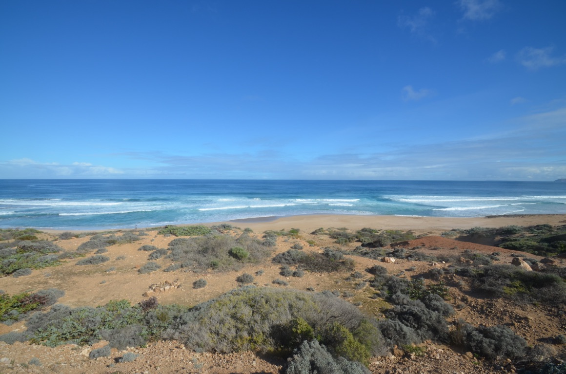
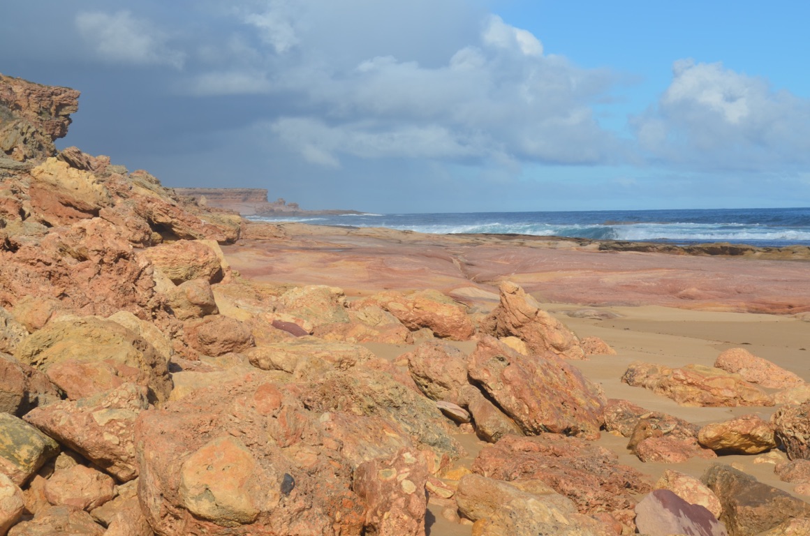
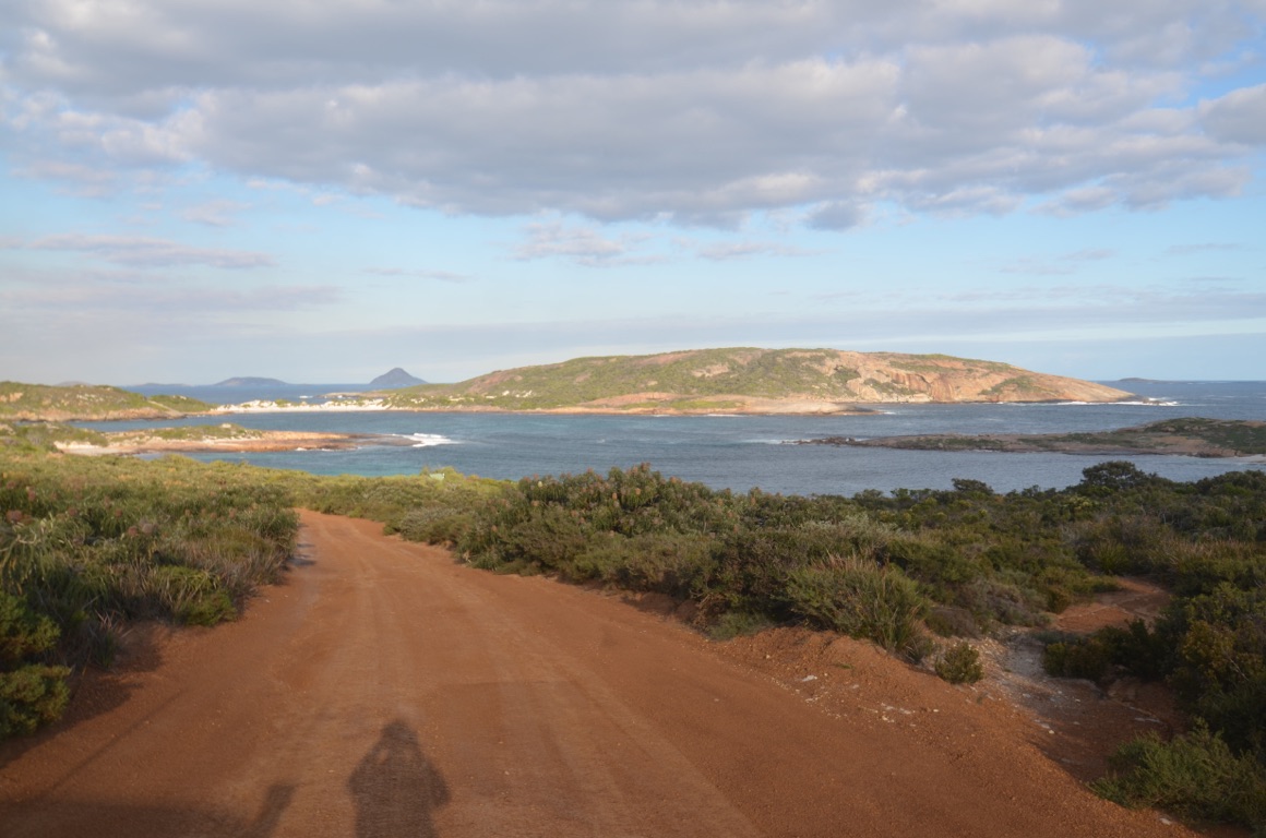
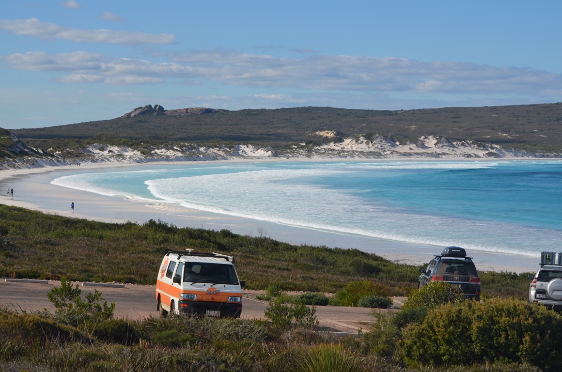
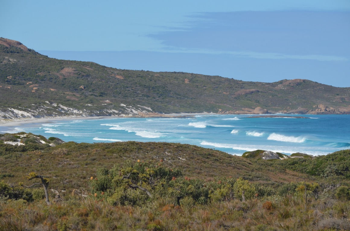
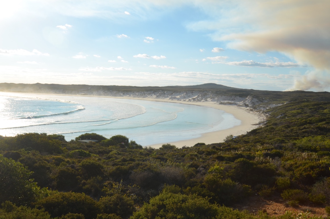
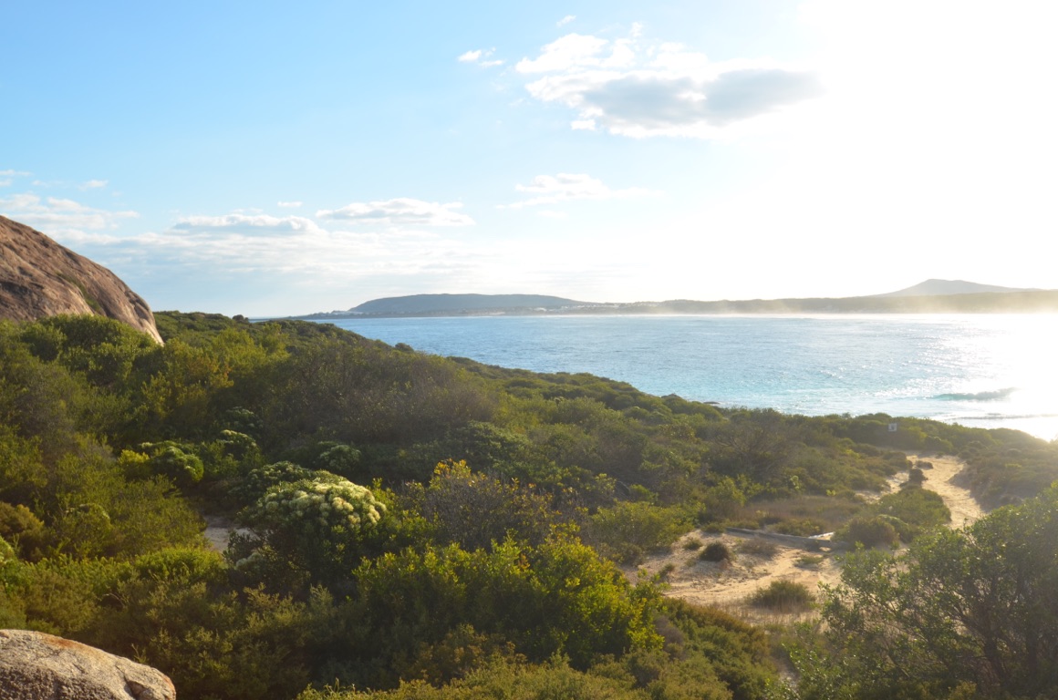
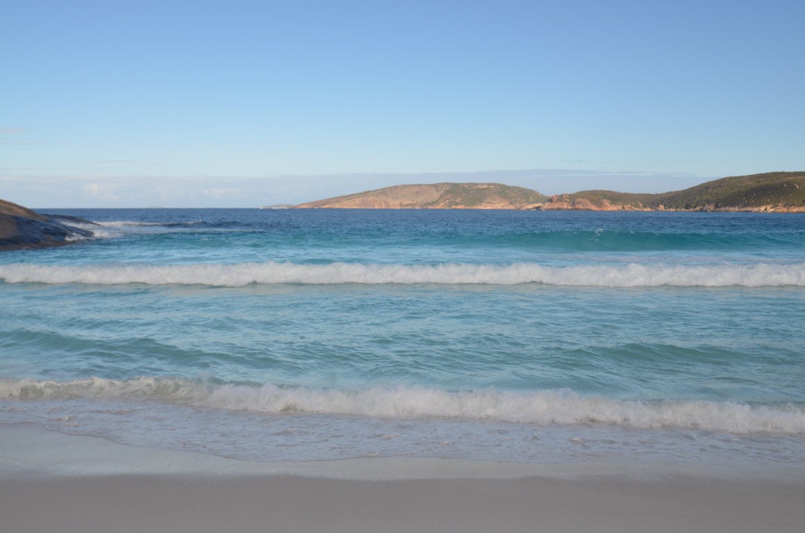
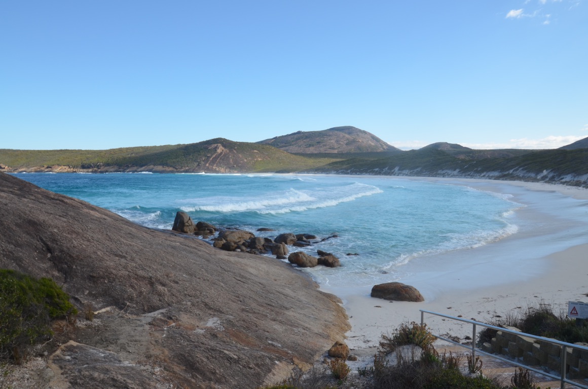
We decided to make good use of our WA National Parks Pass today by visiting the Cape le Grand National Park.
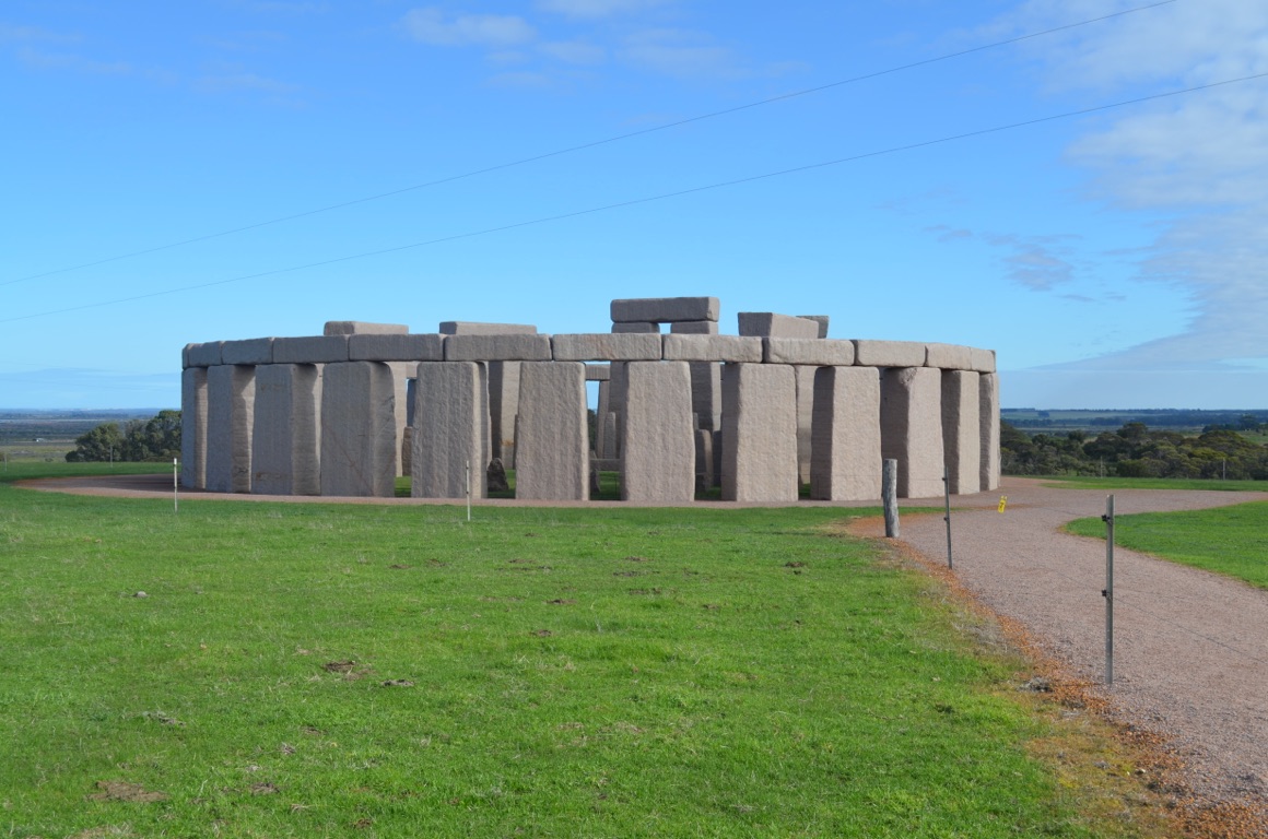
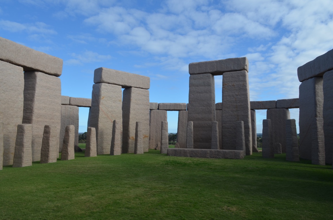
On the way we dropped into Australia’s Stonehenge (loiter.tasters.rewarm). It’s an exact replica (is that a tautology?) of the original in Wiltshire and the fellow who put it all together claims that it now looks much the same as the original one did around 1950BC. The 30 sarcen stones (those on the outside) weigh 28 tonnes each and stand almost 5 metres high, including the 7 tonne lintels. The pink granite stones were all quarried in Esperance.
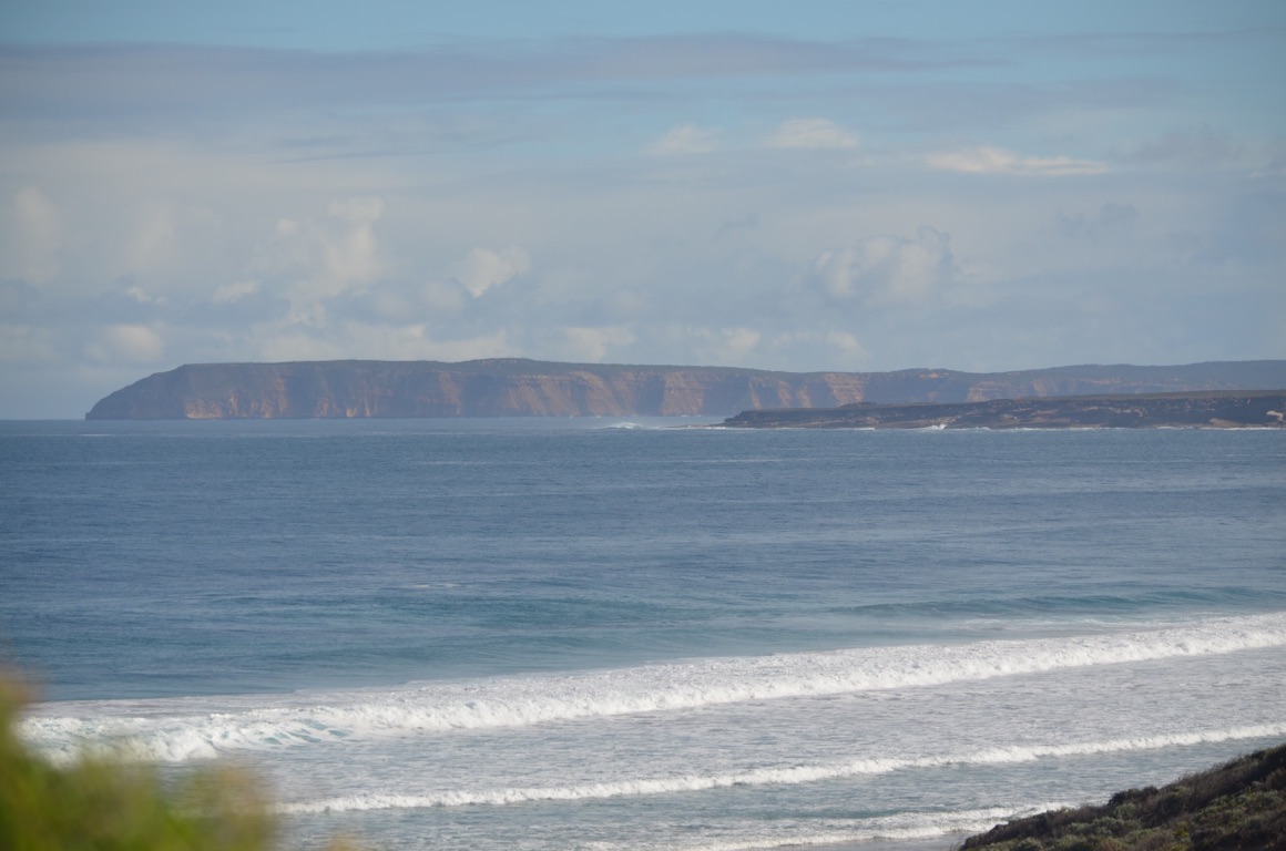
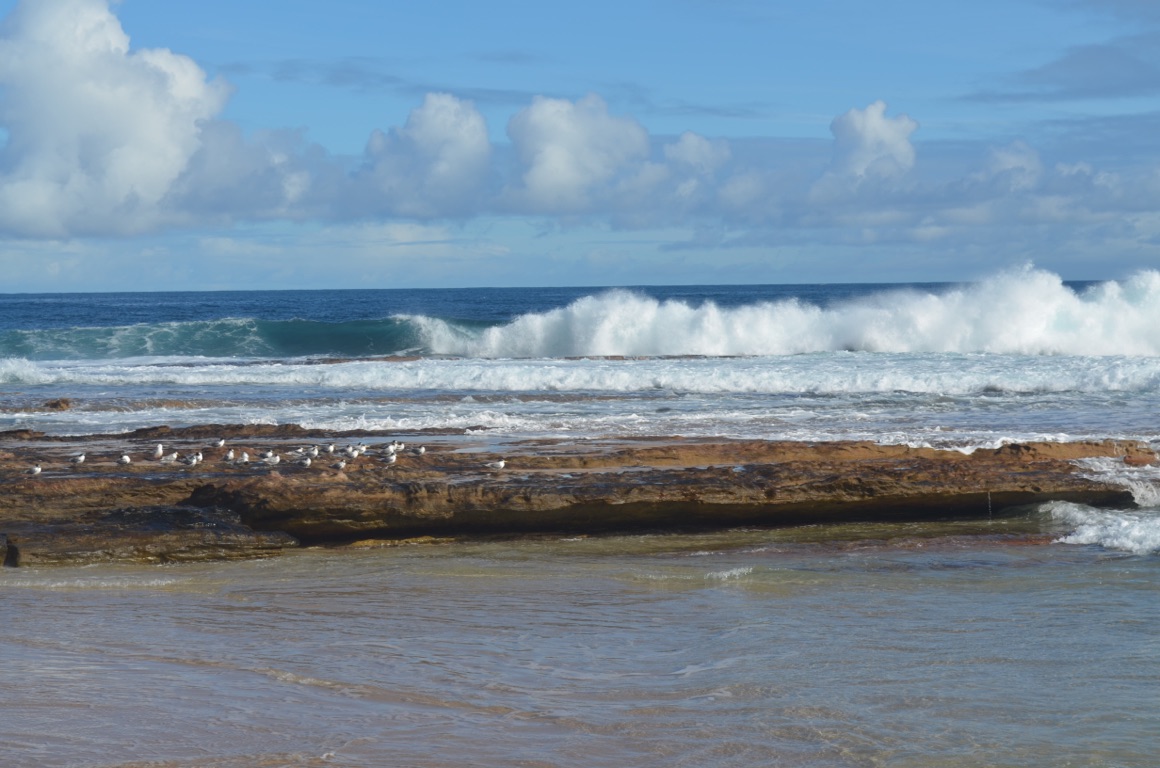
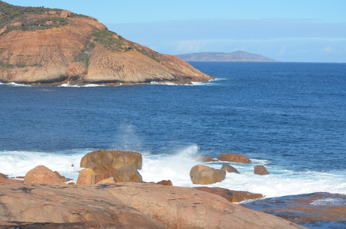
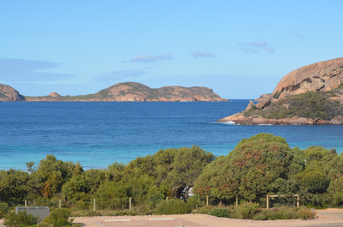
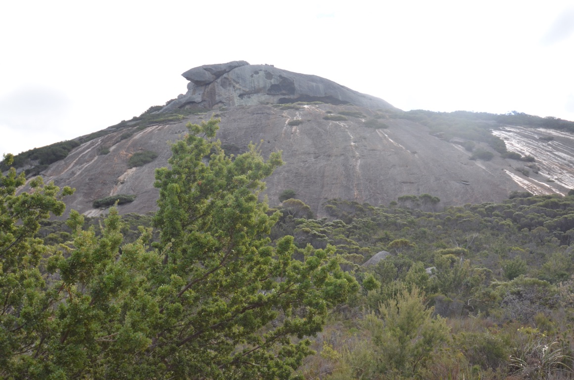
Our first stop in the National Park was Cape le Grand Beach (cunning.value.esteem). Then on to Hellfire Bay (paradox.cheapest.vacates), followed by Rossiter Bay (forehead.eldest.modern). Whilst on this part of the journey, we passed Frenchman’s Peak and stopped at the lookout (crouching.crewcut.slouching) where we noticed an aperture just below the peak. It was named after surveyor Andrew Forrest in 1870 when he and his brother, John, were on an expedition from Adelaide to Perth looking for suitable pasture - the peak was said to have resembled a French soldier’s cap of the 1800s.
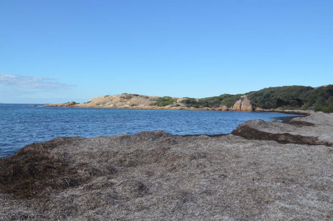
Then to Lucky Bay (horseshoe.thinly.untouched) which was probably the most spectacular of all the bays we visited - not surprisingly, the one which attracted the most visitors. Followed by Thistle Cove (surveillance.dragged.diamonds).
At this point we drove off to the Condingup Tavern (expiry.detachment.otherwise) for their recommended hamburger lunch - at they were good!
After lunch we drove to Wharton Beach (concrete.slanting.shady) and Little Wharton Beach (bigger.notations.unifies).
It was a fantastic day’s outing and, like many other places we’d visited on the trip so far, the vistas we saw were just too big to capture satisfactorily on the camera.
Total km today: 259
Total cumulative km: 7,623
what3words: silks.narrow.lighter
On the road to Wharton
Thistle Cove
Rossiter Bay

Frenchman’s Peak
Australia’s Stonehenge
Australia’s Stonehenge
The road to Rossiter Bay
Cape le Grand Beach
Wharton Beach
Lucky Bay
Lucky Bay
Rossiter Bay
Little Wharton Beach
Little Wharton Beach

Thistle Cove
Hellfire Bay
Hellfire Bay
Frenchman’s Peak
![]()
![]()
![]()
![]()
![]()
![]()
OR
Copy the link to @yilgiddie Journo below
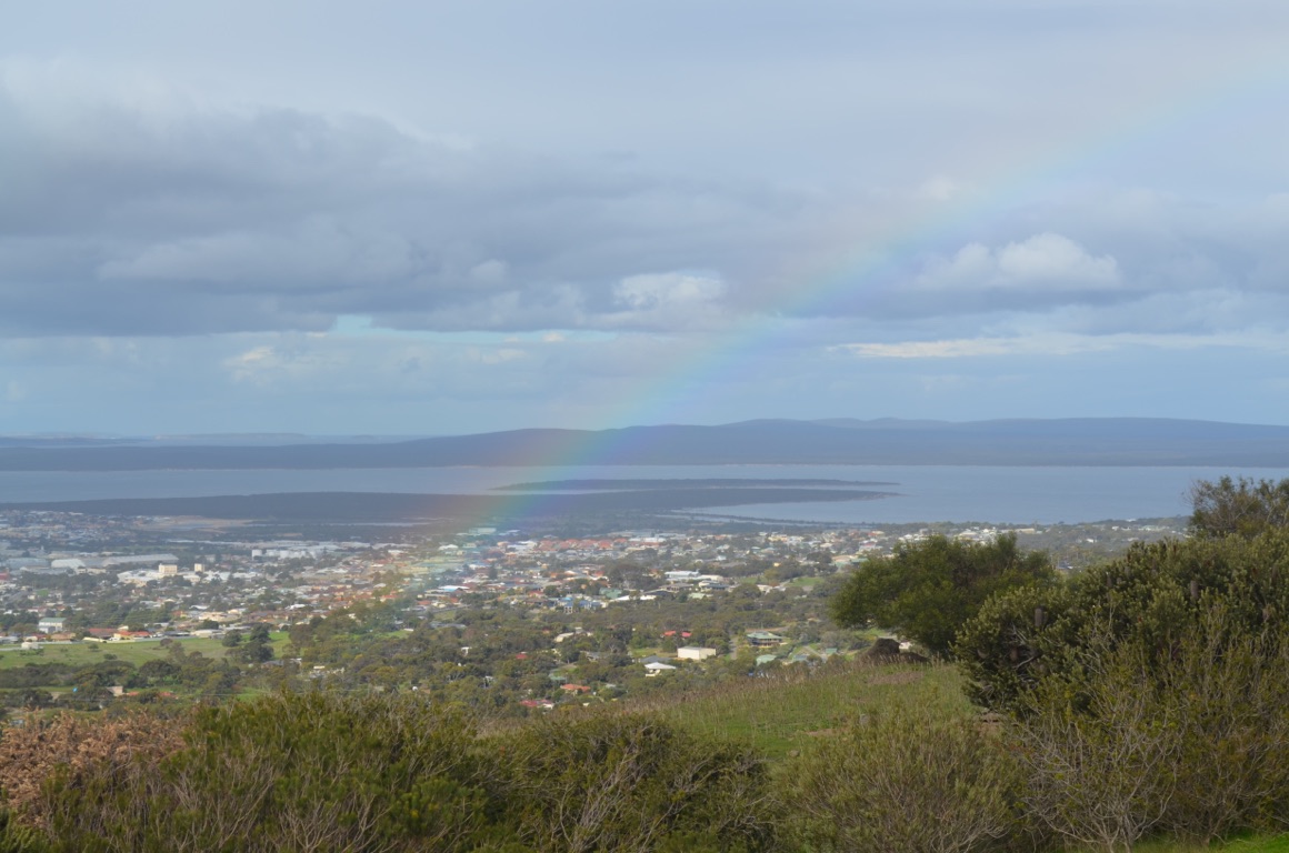
A wickedly late start to the day, followed by some necessary shopping and, after lunch (which was actually morning tea!) we drove the ‘Great Ocean Drive’ which is a recommended trip around the attractions of Esperance.
to be continued....
Total km today: 39
Total cumulative km: 7,662
what3words: silks.narrow.lighter
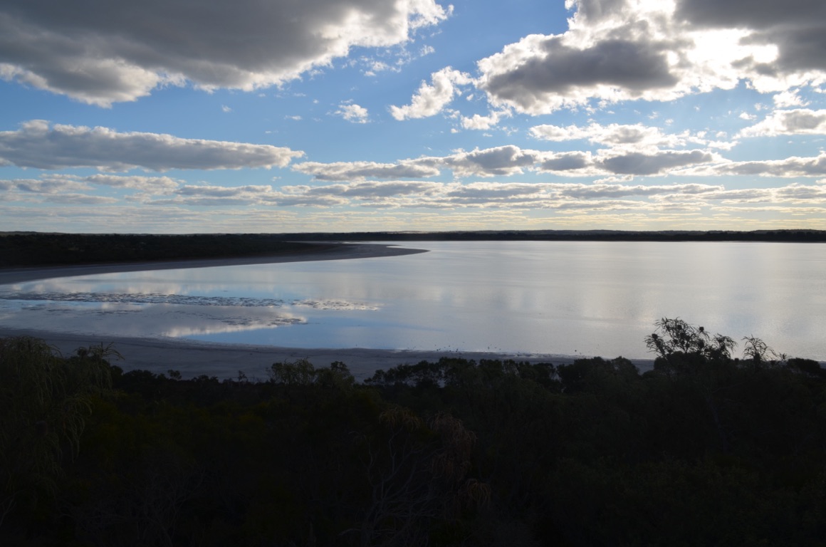
Pink Lake

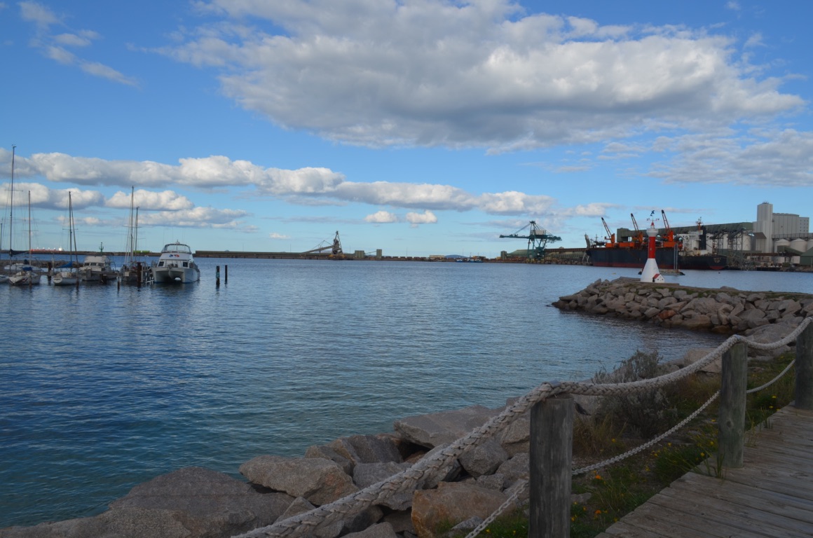
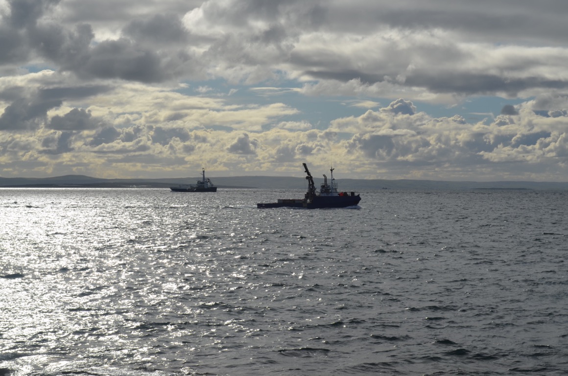
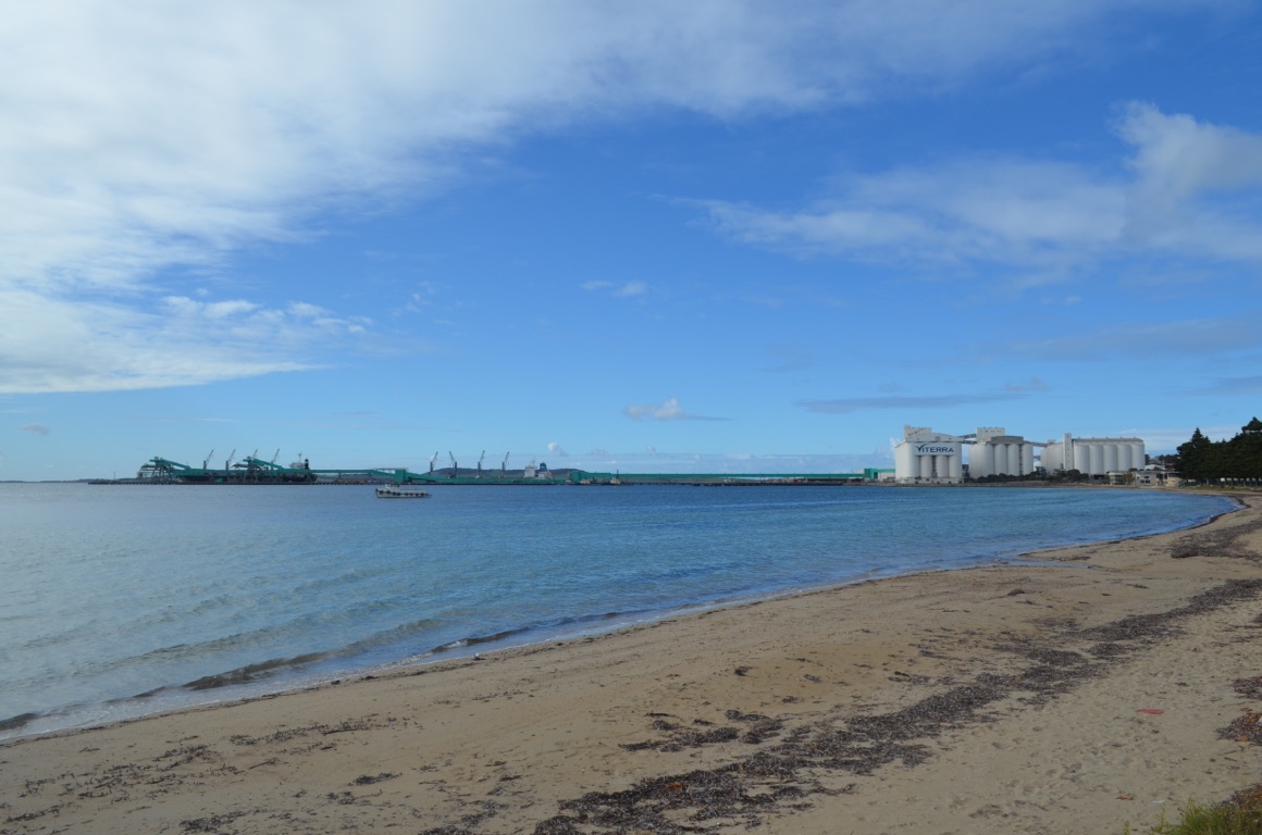
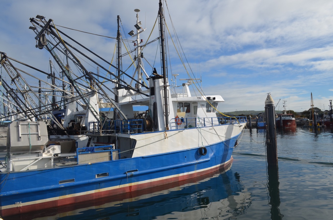
Port of Esperance
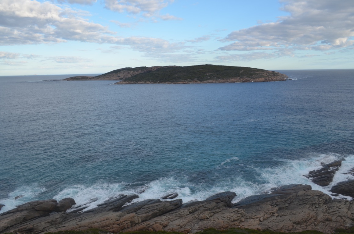
Observation Island - on 9 December 1792, two French ships (the Recherche and the Esperance) sheltered in the lee of the island.
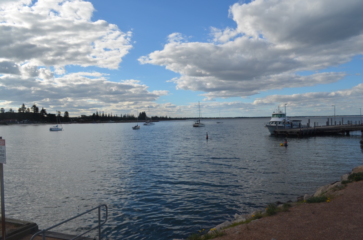
Esperance Esplanade
![]()
![]()
![]()
![]()
![]()
![]()
OR
Copy the link to @yilgiddie Journo below
![]()
![]()
![]()
![]()
![]()
![]()
OR
Copy the link to @yilgiddie Journo below
Last night wasn’t as wet as the forecast had suggested, nevertheless, we had prepared the van for departure during the previous day to avoid the possibility of getting soaked (as had happened in Port Lincoln).
The morning, however, was bitingly cold and, not only had it started to rain as we left Esperance, but the head winds made for some difficult driving and above average fuel consumption.
We stopped at Ravensthorpe (slightest.cookery.ignored) to make coffee and, shortly afterwards, we came across a heritage site at Cocanarup (throbbed.recklessly.drinkable) which commemorated what had evidently been a massacre in the 1870s. Not a great deal was said about this, other than the fact that no one spoke of it.....
We subsequently found a free camp at the site of the old school at Fitzgerald. The community, which no longer exists, was established from 1960, as noted in the image below. We camped on what used to be the cricket field alongside the pitch - clearly not having been used for quite some time as evidenced by the tree not too far from the stumps!
Total km today: 250
Total cumulative km: 7,912
what3words: brigadier.chairing.busies
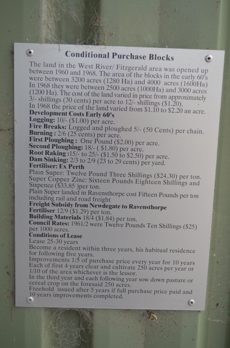
Fitzgerald
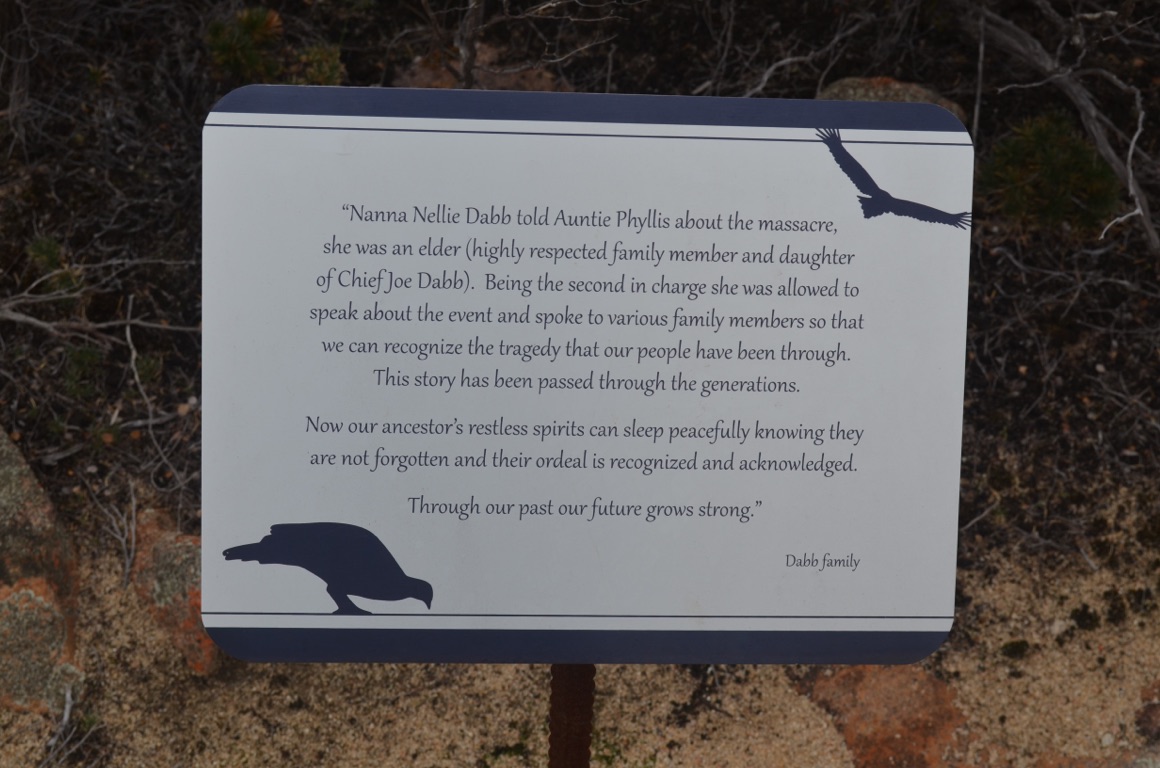
Cocanarup
Stumped!
Fitzgerald free camp
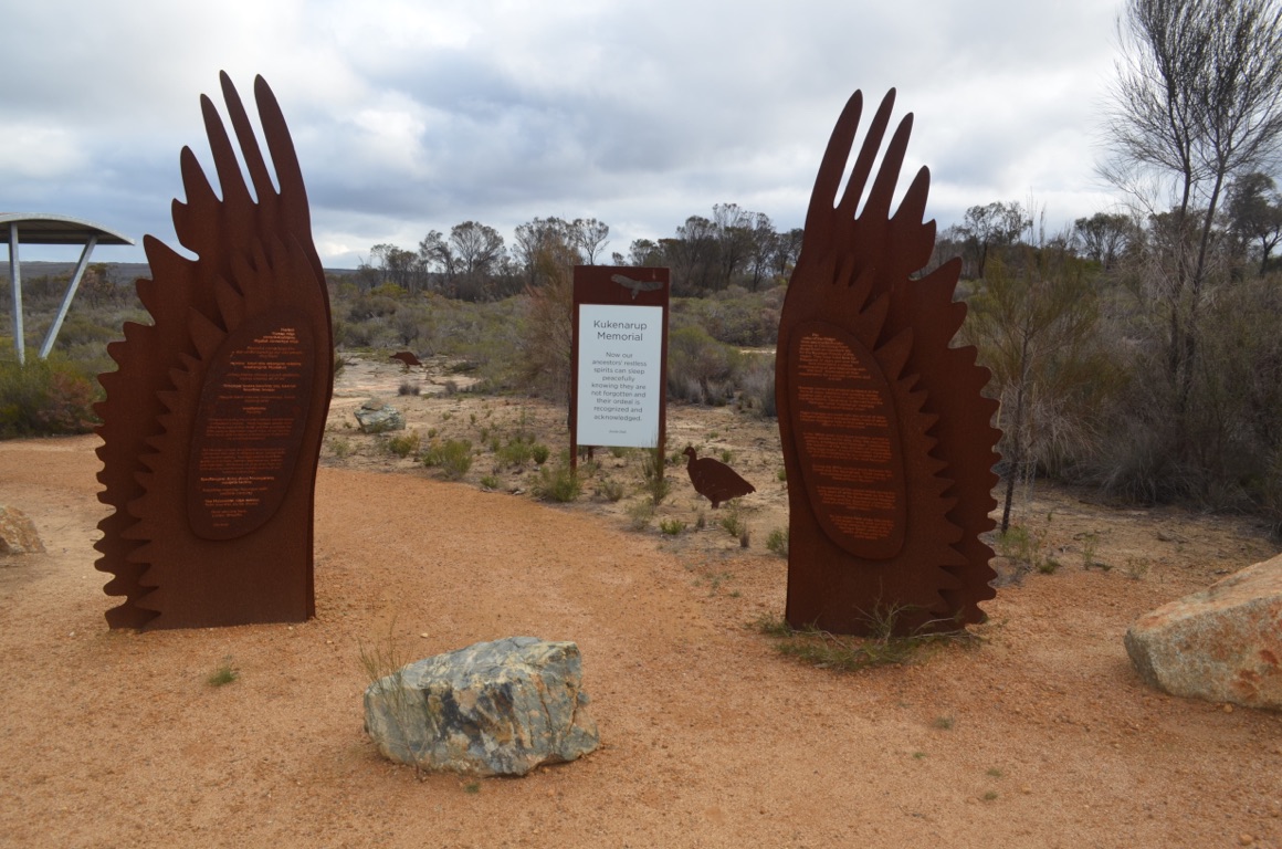
Cocanarup
![]()
![]()
![]()
![]()
![]()
![]()
OR
Copy the link to @yilgiddie Journo below
It was either frost or snow on the ground this morning - it turned out to be frost....
A very cold night - and we cheated because, at 0430, we turned on the diesel heater which made an instantaneous, positive, result.
The weather forecast in the area between Fitzgerald and Albany over the next few days didn’t look at all promising and so, as we’d previously visited the Fitzgerald National Park, we decided to head for Albany. We could then use Albany as our base for a few days without having to tow the van around behind us.
The drive, through Jerramungup (gazebo.reply.shuddering) where we stopped to make coffee, was not much fun as it rained most of the way and the road wasn’t all that good.
Nevertheless, we got to our preferred caravan park by mid-afternoon and settled in.
Total km today: 234
Total cumulative km: 8,146
what3words: legacy.refrigerator.clusters
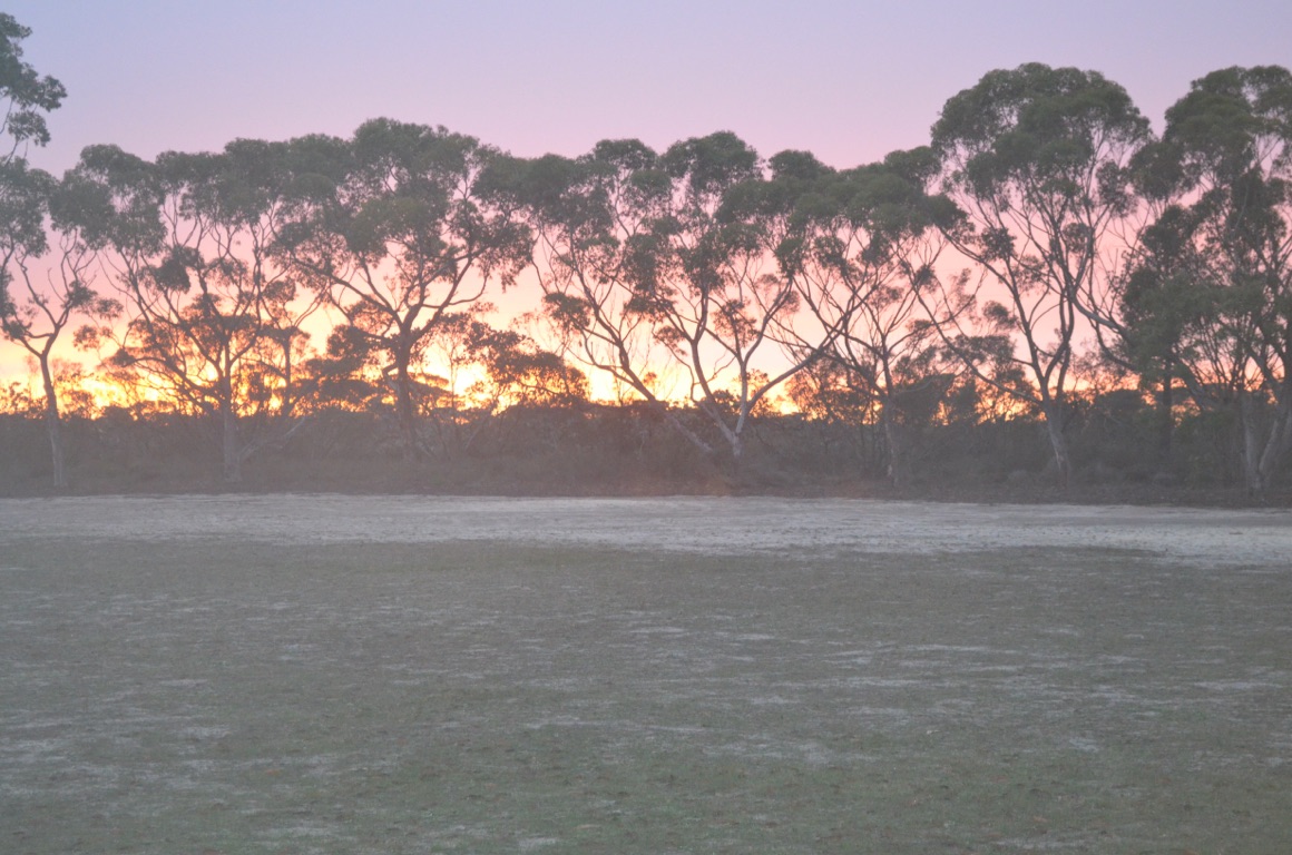
Sunrise at Fitzgerald
Sunrise at Fitzgerald
![]()
![]()
![]()
![]()
![]()
![]()
OR
Copy the link to @yilgiddie Journo below
We awoke to a beautiful sunny day, although it was still quite cool.
Our first stop in a day being a tourist was the oldest existing dwelling in Western Australia (trusts.under.grazed) - established in 1832.
Then on to the Torndirrup National Park where we saw The Gap and the Natural Bridge (imaginative.enlarges.sweaters). There were other features to view, including some blowholes - although whilst we were there the swell wasn’t sufficient to create the spectacle.
Finally to the Discovery Centre which is the location of Australia’s last whaling station (swerves.uncrowded.static). During the period 1952 until closure in 1978, just over 15,000 whales were harvested and processed at the station. A fascinating insight into an operation that was not only exceptionally profitable but, relative to today’s standards, quite acceptable as an industry.
Total km today: 62
Total cumulative km: 8,208
what3words: legacy.refrigerator.clusters
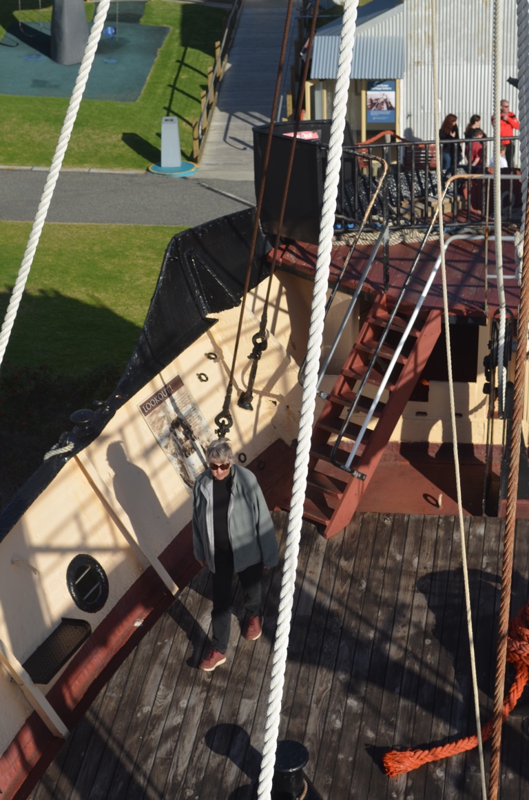
Onboard The Cheynes IV
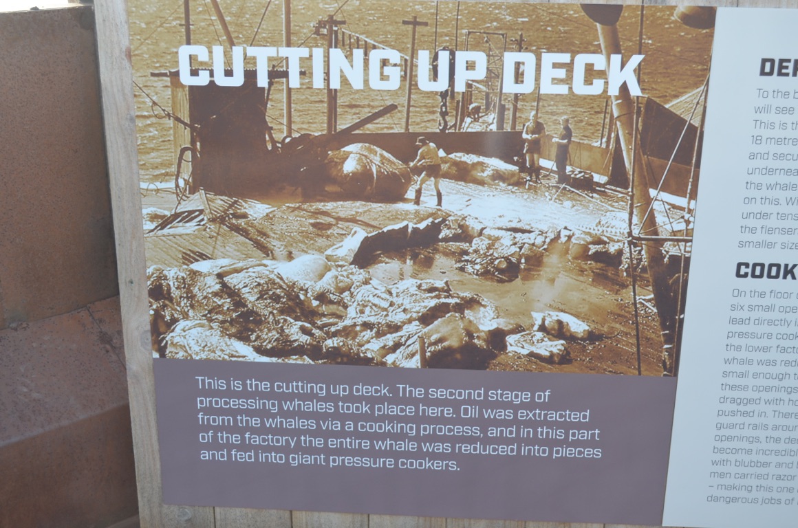
Self-explanatory....
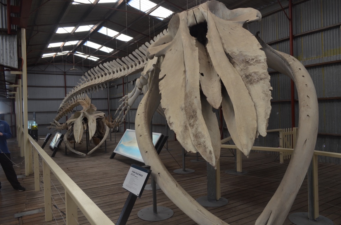
Skeleton of a pygmy blue whale
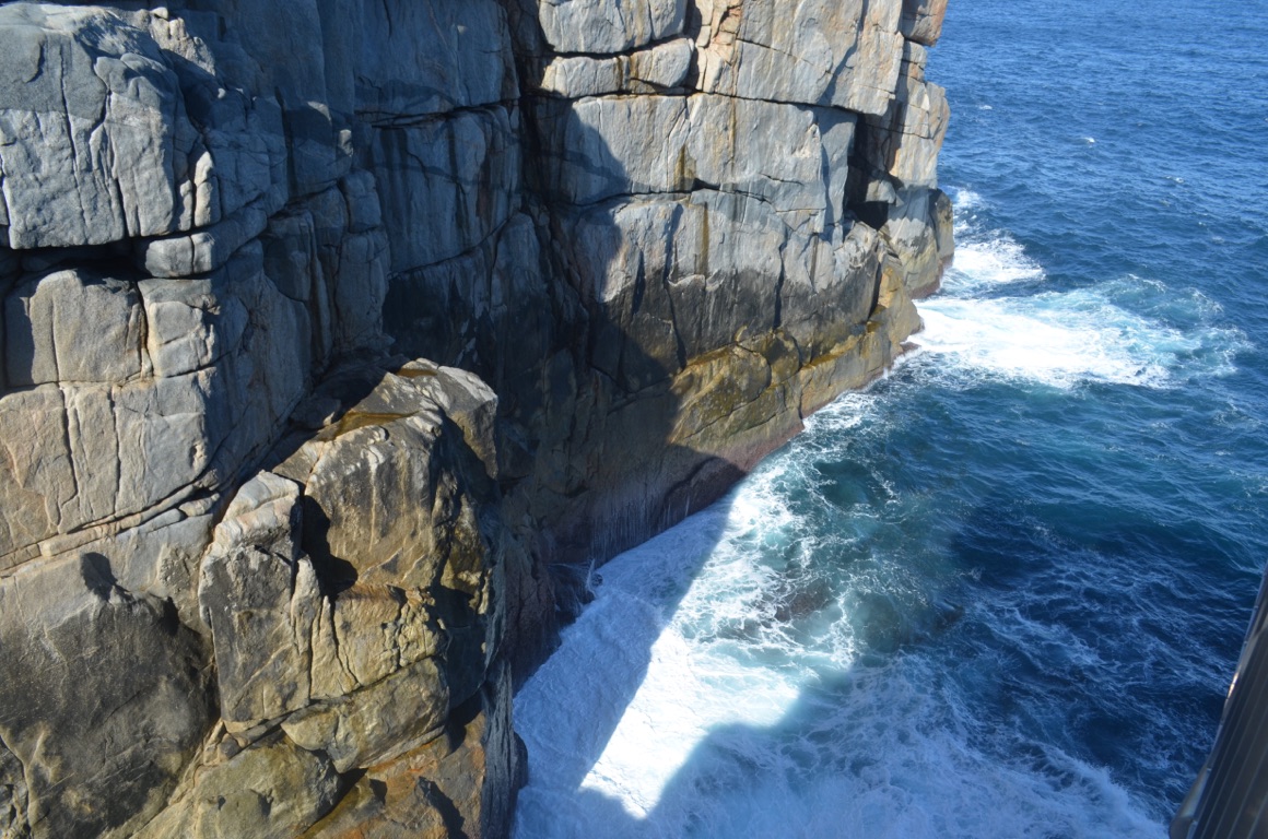
A view from The Gap viewing platform
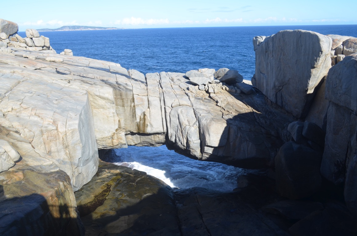
The Bridge
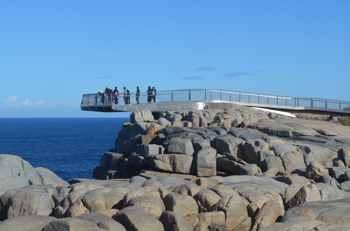
The Gap viewing platform
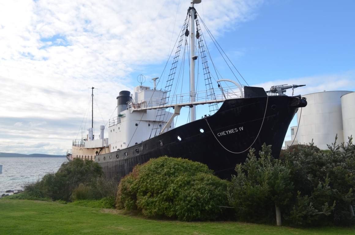
The Cheynes IV
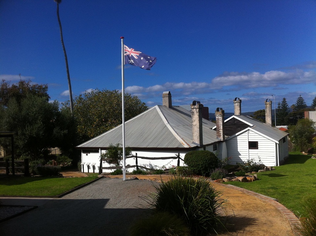
Patrick Taylor Cottage
![]()
![]()
![]()
![]()
![]()
![]()
OR
Copy the link to @yilgiddie Journo below
A ‘day off’ today which included catching up with Peter and Caroline Aspinall - Peter was Battery Commander 102 Field Battery, 8 Medium Regiment in Holsworthy before it was merged with 12 Field Regiment in the early 1970s. Peter is currently State President of RSL Western Australia.
![]()
![]()
![]()
![]()
![]()
![]()
OR
Copy the link to @yilgiddie Journo below
We visited the National ANZAC Centre in Albany this morning (camera.achieving.bravest).
A very impressive memorial to those ANZACS who participated in WWI - both from the point of view of the information that was provided and the professionalism of the interactive displays. And, of course, the building overlooks King George Sound which was the point at which convoys gathered and from which they left for their voyage to the northern hemisphere and, subsequently, Gallipoli. Many would never return.
One of the Centre’s features is the provision of a token which identifies an ANZAC who participated in WWI - mine was Lance Corporal George Mitchell - and the visitor is able to interactively view his backround, where he served, on which convoy he left Albany and other relevant details.
An excellent memorial and certainly a ‘must see’ when in Albany.
Total km today: 24
Total cumulative km: 8,232
what3words: legacy.refrigerator.clusters
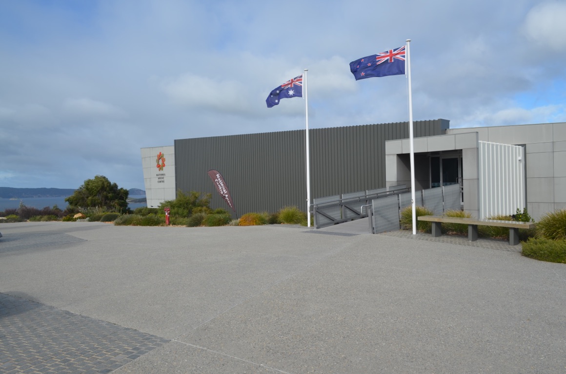
National ANZAC Centre
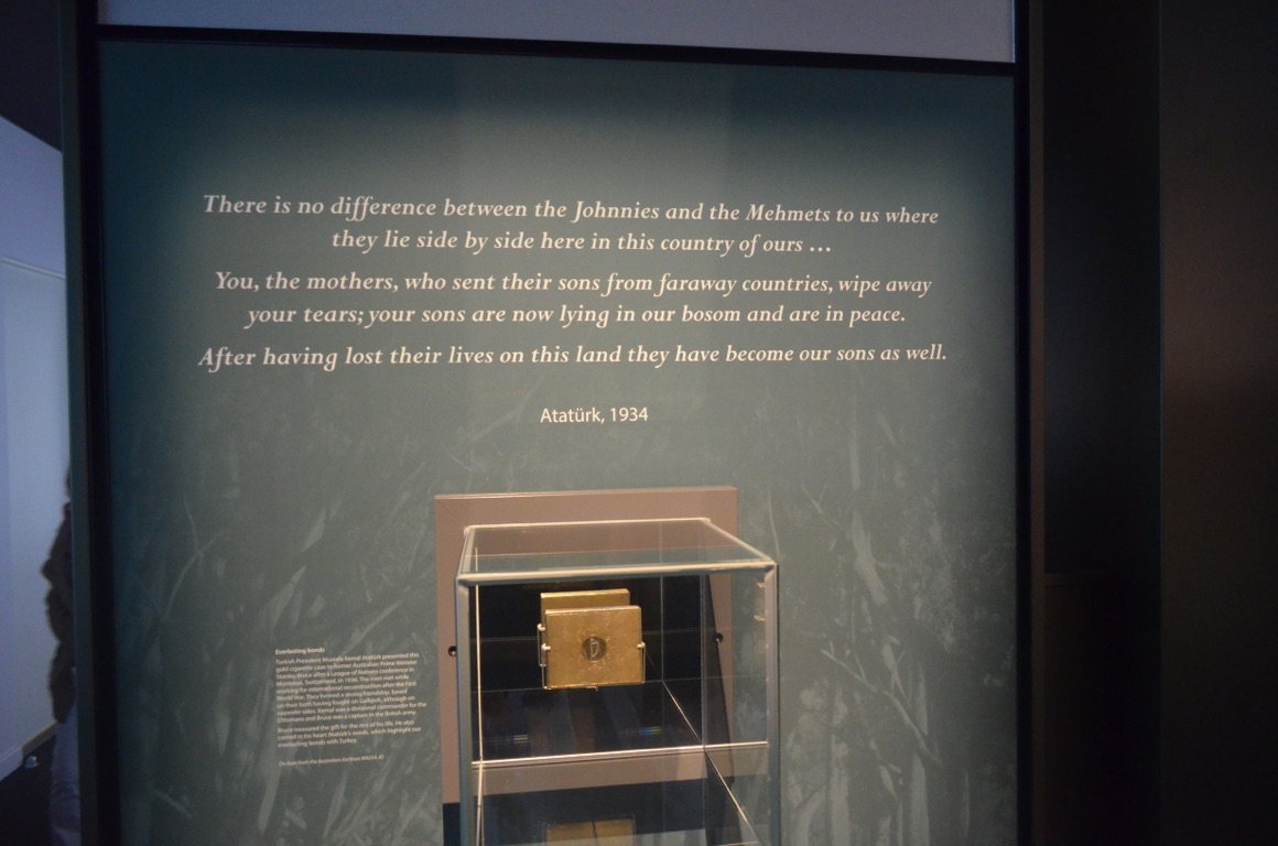
Kemal Ataturk’s well known, and loved, quotation. Ataturk was the first President (1923-1938) of the Republic of Turkey.
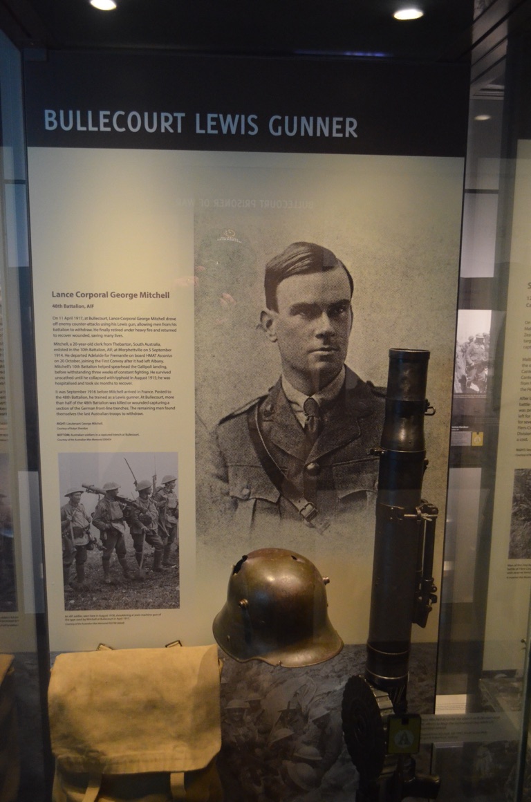
One of the displays - in this case, ‘my’ ANZAC, details of whom were available throughout the tour.
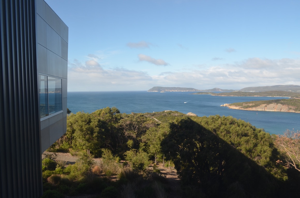
View from inside National ANZAC Centre looking out over the Sound
![]()
![]()
![]()
![]()
![]()
![]()
OR
Copy the link to @yilgiddie Journo below
A late departure from Albany after another caravanner expressed interest in the Zone, so we spent quite some time with him and his wife.
We had planned to go directly to Gnowangerup but, on the way, saw a signpost promoting the Yongergnow Malleefowl Centre - so we went there.
The Centre’s purpose is to promote the conservation of malleefowl, which have almost been decimated as a consequence of land clearing in early to mid 1900s when farmers had little understanding of the effects of land clearance.
The Centre captured our attention for much of the afternoon and, as a consequence, we elected to stay in Ongerup overnight and drive to Gnowangerup tomorrow (the name Gnowangerup is ‘the place of malleefowl’ in the Aboriginal language).
Total km today: 154
Total cumulative km: 8,386
what3words: evolve.homely.field

Malleefowl in captivity
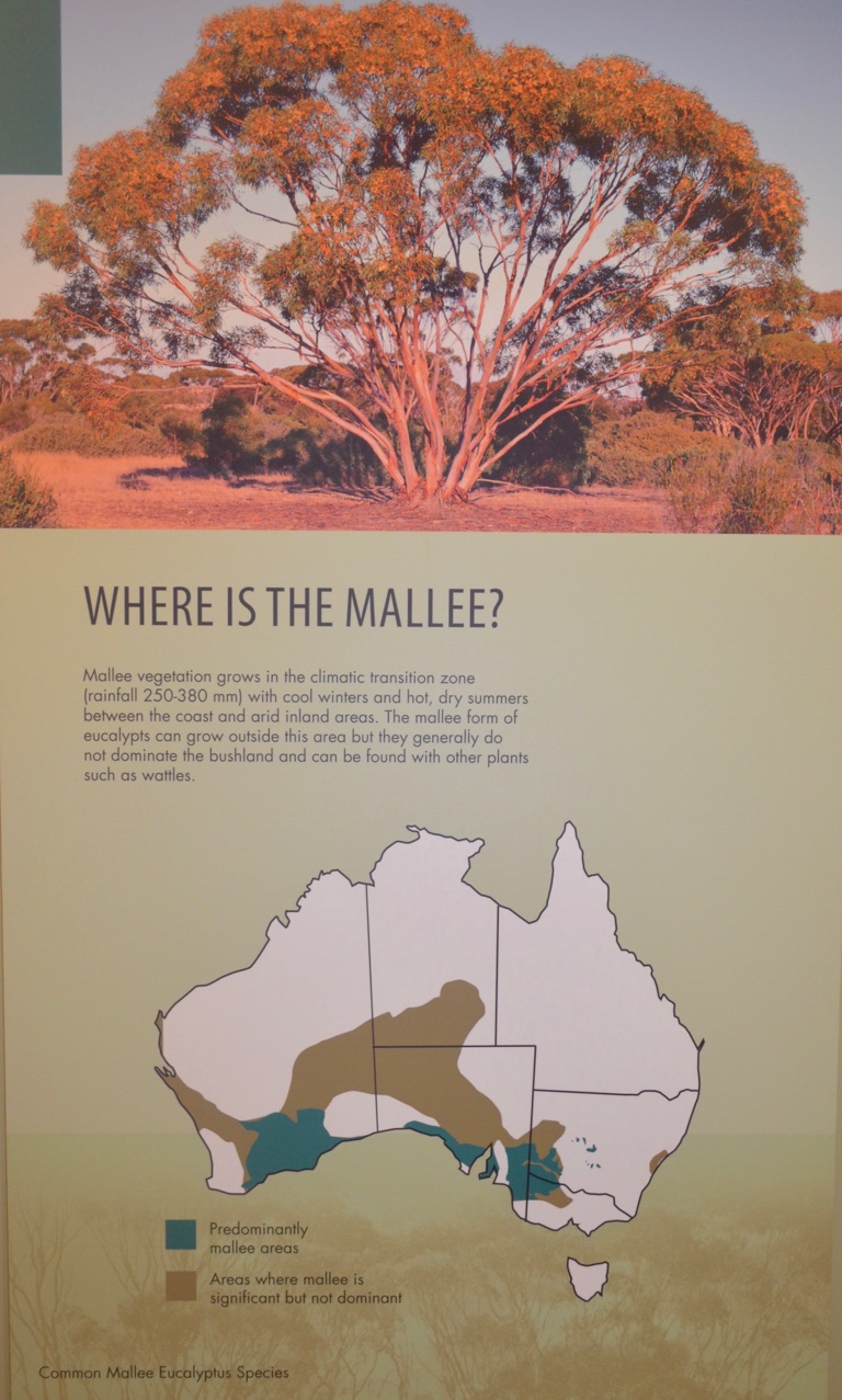
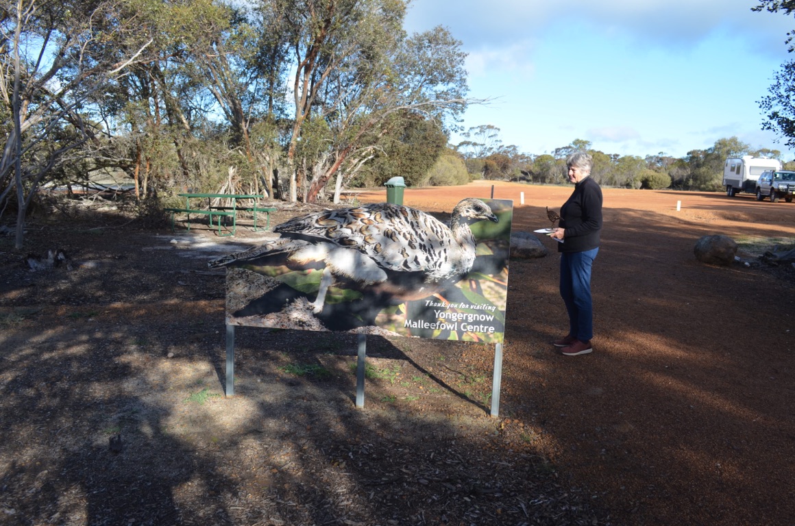
Yongergnow Malleefowl Centre
![]()
![]()
![]()
![]()
![]()
![]()
OR
Copy the link to @yilgiddie Journo below
Another cool morning and then off to Gnowangerup where we visited the cemetery as Ann was keen to visit her 4th great grandmother’s grave - which we found.
Then a cup of coffee before we travelled through Tenterden (humanistic.elevate.letters) before finding our overnight stop at Lake Nunijup.
What a great spot!
Total km today: 170
Total cumulative km: 8,556
what3words: logos.radical.regionally
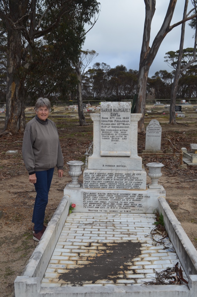
Ann’s 4th great grandmother’s grave
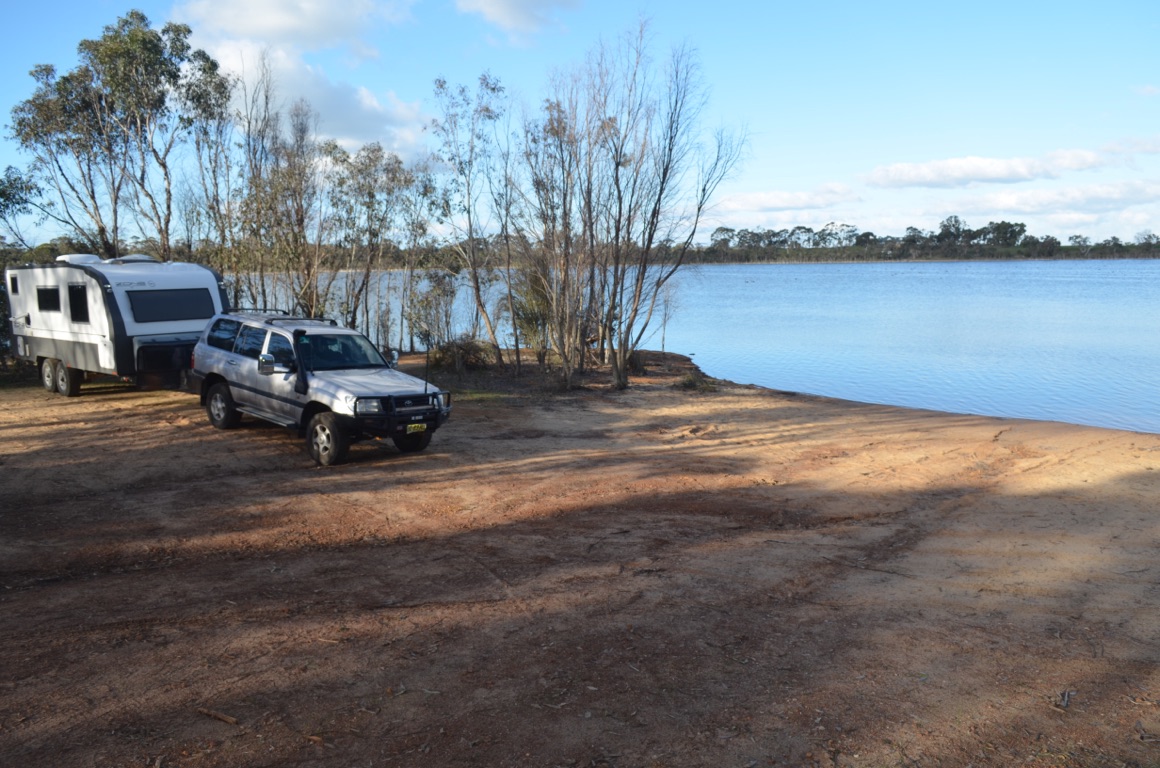
Lake Nunijup
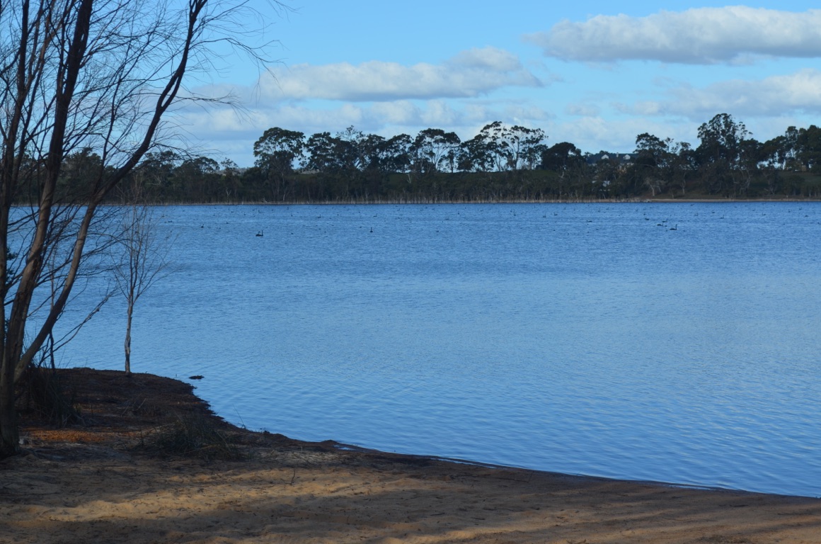
Lake Nunijup
![]()
![]()
![]()
![]()
![]()
![]()
OR
Copy the link to @yilgiddie Journo below
A day off today in our pristine environment - even though it drizzled for some of the day.
![]()
![]()
![]()
![]()
![]()
![]()
OR
Copy the link to @yilgiddie Journo below
![]()
![]()
![]()
![]()
![]()
![]()
OR
Copy the link to @yilgiddie Journo below
After a good break, we left this morning and headed for Frankland River (squirted.disrorted.rivals) which is the centre of a small wine growing area - and where nothing much happens on a Sunday. Then north to Kojanup (misfortune.pitiful.dramatically) where we stopped for lunch. Despite being established in 1837, there was little evidence of the town’s history (perhaps we missed it) although there were a few old commercial buildings still standing. On to Katanning (verify.haunts.controllers) which is a much bigger town than Kojanup and is the service centre of the area.
Finally to our overnight stop at Lake Queerearrup where we found a campsite beside the lake.
Total km today: 210
Total cumulative km: 8,766
what3words: kindness.consequence.craters
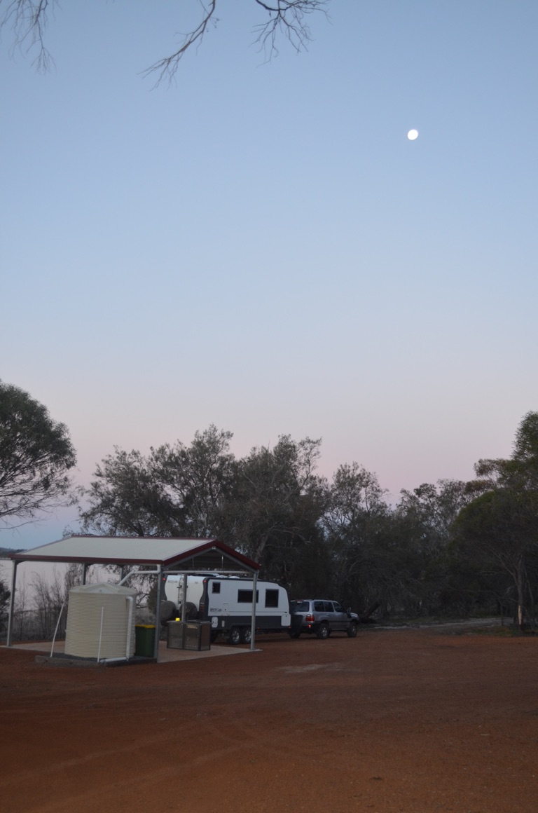
Our (free) campsite at Lake Queerearrup

Lake Queerearrup
![]()
![]()
![]()
![]()
![]()
![]()
OR
Copy the link to @yilgiddie Journo below
We had been invited to lunch with one of Ann’s cousins. She and her husband farm 9,000 hectares (educate.reason.inhale) not far from Queerearrup Lake.
They’d been there for quite some time, but had only recently built a new house atop a hill overlooking the area - and their farm - and this is where we had lunch. They grow crops (canola, wheat and oats) and also carry about 1,500 sheep. After lunch we were taken for a drive around the property and, as it was almost dark as we returned to this house, we were offered, and we accepted, an evening meal with them.
A most enjoyable day.
Total km today: 32
Total cumulative km: 8,798
what3words: kindness.consequence.craters
![]()
![]()
![]()
![]()
![]()
![]()
OR
Copy the link to @yilgiddie Journo below
A glorious day but, as usual, very cold in the morning.
We were joined for our morning coffee by Ann’s cousin and we sat beside the lake for most of the remainder of the morning.
An afternoon walk, before the cold settled in, made for another enjoyable day.
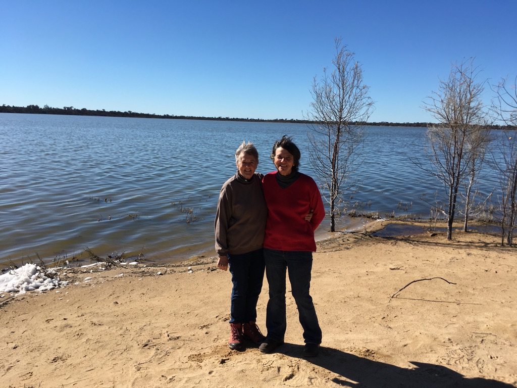
![]()
![]()
![]()
![]()
![]()
![]()
OR
Copy the link to @yilgiddie Journo below
Our last day at Lake Queerearrup - possibly just as well as we’d had the place to ourselves whilst there and three other vans turned up overnight.
On the way to Katanning, we stopped at the old Queerearrup school (courses.speculated.huge) which is now used by the local community for special occasions.
We also stopped at Woodanilling (remix.grilled.melts) - a very proud community which clearly looked after its town.
We had decided to camp for a night at the Katanning caravan park (curves.discloses.history) as we needed some water, a decent shower and get some clothes washed.
Whilst there, we visited Kobeelya which built as a family home by the ‘founding father’ of Katanning, Frederick Henry Piesse (who was a member of the WA Legislative Assembly for 21 years and also established a host of businesses in the town) in 1902. After Piesse’s death, the family offered the property to the Bishop of Bunbury and it was subsequently used as a girls’ school until 1986. It is now used as a Convention Centre.
We then went into the town centre and visited the ‘Premier Roller Flour Mill’ which was recently converted into a 5 star hotel (it opened in 2018) and restaurant by the owners (and original developers) of Dome Coffee. Dome claims to have 130 coffee shops around Western Australia and Asia. The Roller Flour Mill was established by one of Frederick Piesse’s businesses and the hotel, restaurant and downstairs bar have all been built around the original machinery. The hotel itself hosts most of the flour mill, nevertheless, we negotiated our way into the hotel (normally only accessible to hotel guests) and were able to see it all for ourselves.
It is an extraordinary building and most certainly worth a visit - even from Perth.
Total km today: 59
Total cumulative km: 8,857
what3words: steam.sparrow.sagged
What a great seat at the Queerearrup school!
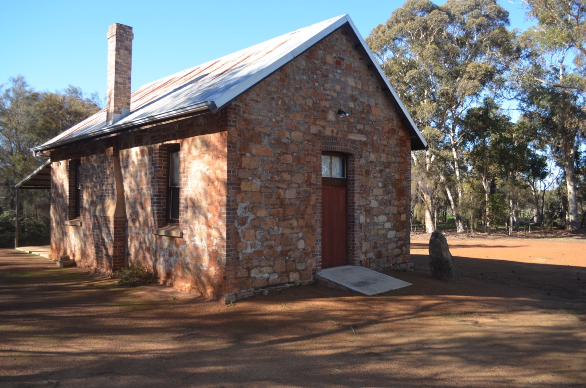
Old Queerearrup school
Inside the Premier Mill Hotel
Woodanilling
Inside the Premier Mill Hotel
Inside the Premier Mill Hotel

Inside the Premier Mill Hotel
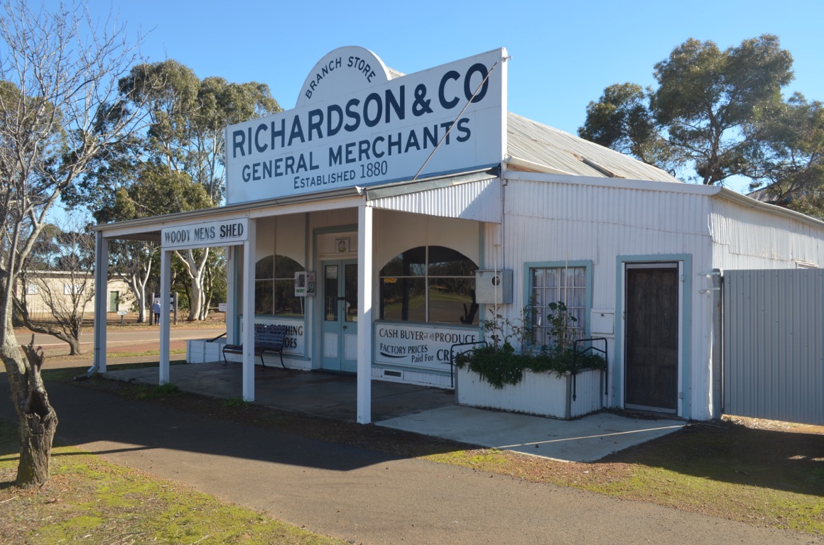
Woodanilling
Premier Mill Hotel
Katanning Hotel, unfortunately now used for other businesses
Kobeelya
Woodanilling

Woodanilling
![]()
![]()
![]()
![]()
![]()
![]()
OR
Copy the link to @yilgiddie Journo below
We decided to stay another night at Katanning as we were keen to visit Dumbleyung - the weather forecast indicated rain over the next few days and we weren’t too keen being cooped up in the van and believed we needed to find a caravan park close to interesting things to see whilst it rained.
We left the van at Katanning and dropped into the Katanning sheep sale yards (pelt.virtual.rural) and then drove east to Nyabing. The country was reasonably productive but not very interesting. On the way, we stopped to have a look at Ewlyamartup Lake (lived.faiway.onboard).
Then turned north west to Dumbleyung, where a replica of Donald Campbell’s Bluebird is located (ridden.allowance.moped). Campbell made his successful attempt at the world water speed record on nearby Lake Dumbleyung on 31 December 1964 (444.7 km/hour). He had previously broken the world land speed record on Lake Eyre during July and was keen to make it a ‘double’ (both land and speed records) in the same year. Campbell died on Lake Coniston in 1969 attempting to better his previous record.
We then drove to the Donald Campbell Memorial on Pussycat Hill (glancing.curl.bulb) at Lake Dumbleyung where it was possible to see the course over which he urged Bluebird to break the record.
Finally, we drove through Wagin (doorways.prune.sharing) to Norring Lake (premise.warriors.inversion) where we’d been told there was a reasonable campsite - which we rejected as the likelihood of rain could have made the dirt roads difficult.
Another interesting day....
Total km today: 238
Total cumulative km: 9,095
what3words: steam.sparrow.sagged
Inside the bar at the Premier Mill Hotel on the previous evening (a superb gin and tonic for Ann and an excellent Shiraz for me!)
Lake Ewlyamartup
Lake Dumbleyung
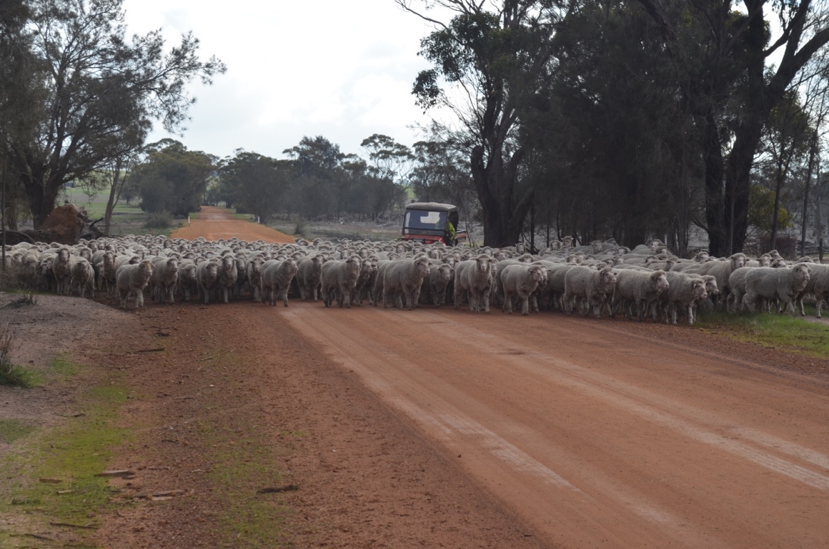
On our way to Norring Lake
Katanning sheep sale yards - the largest covered sheep sale yards in the southern hemisphere

Memorial at Lake Dumbleyung. On 31 December each year (the anniversary of the record run) the sun is located in such a way that the model of the Bluebird (on the plaque in the foreground) is ‘hit’ by the sun shining through the small hole in the rock (which is seen just above the other plaque). The rock itself is shaped in the form of Western Australia.
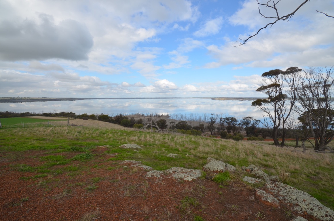
Lake Dumbleyung
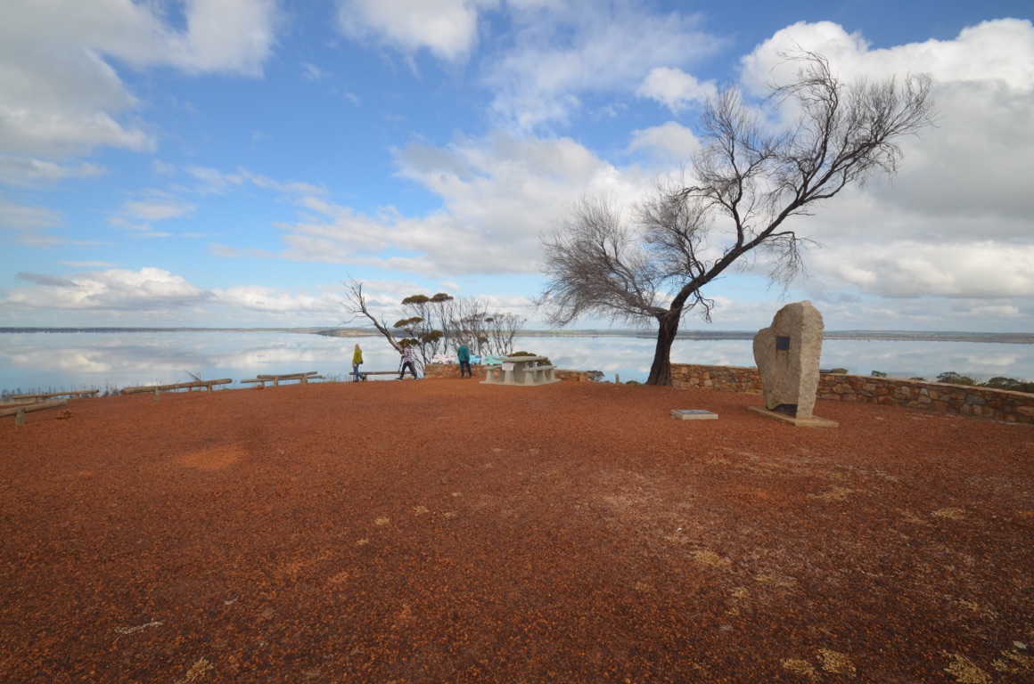
Memorial at Lake Dumbleyung
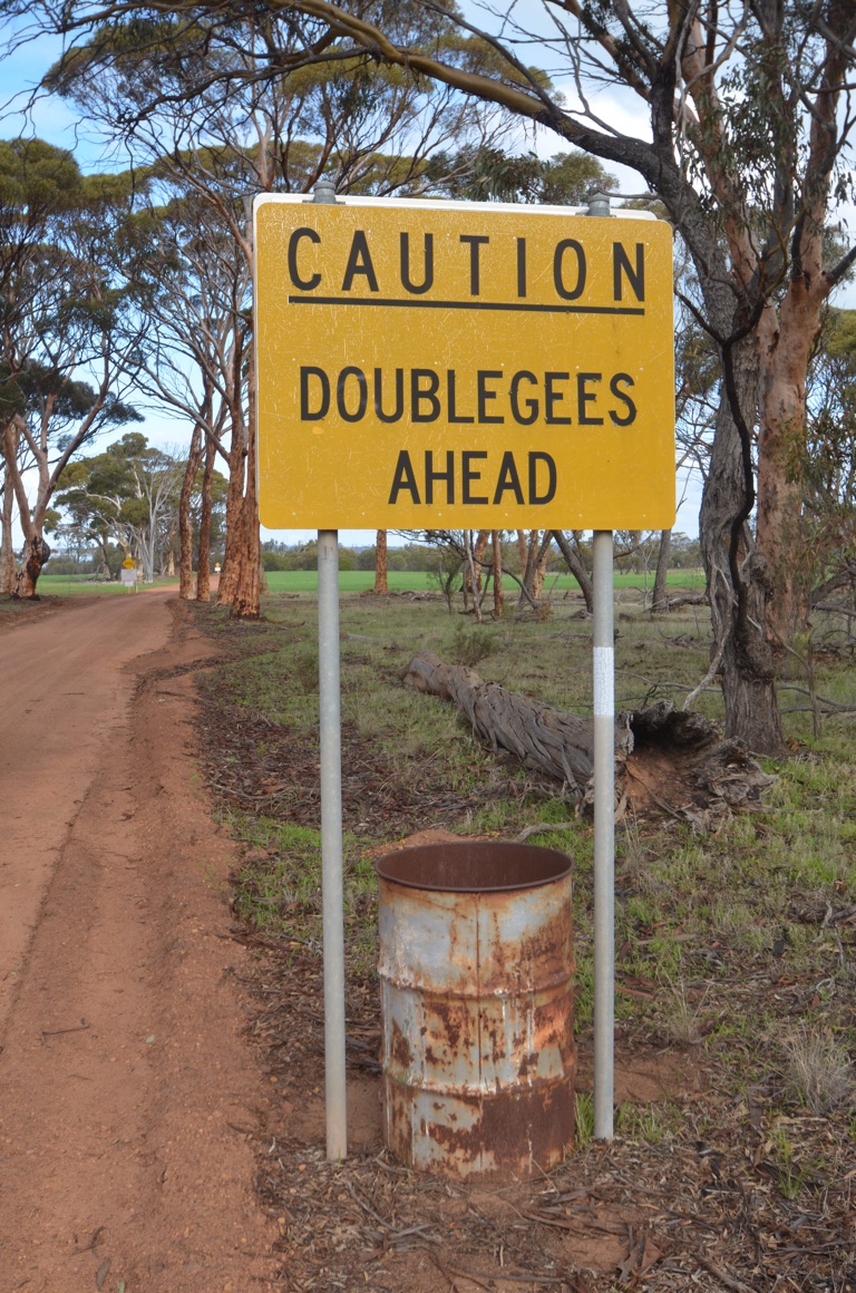
Who knows what a doublegee is?
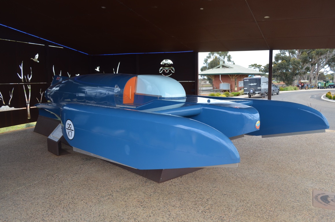
Scale model replica of Donald Campbell’s Bluebird at Dumbleyung
![]()
![]()
![]()
![]()
![]()
![]()
OR
Copy the link to @yilgiddie Journo below
The rain held off when we left Katanning and was kind to us as far as Bridgetown.
Our route took us back through Kojonup, Boyup Brook and Bridgetown. We stopped for coffee at a memorial at Muradup, a small country town that only had a Post Office. But the memorial itself (newsstand.fragrances.protruding) was one of the best I’ve seen anywhere. Clearly, the local community was proud of its diggers and the memorial reflected their positive feelings for the service they gave.
The landscape changed quite dramatically, the further west we drove - from cropping (primarily canola), to sheep pastures, to forests and into very hilly country.
Nannup looks to be an interesting small town, which we look forward to exploring once it stops raining....
Total km today: 194
Total cumulative km: 9,289
what3words: shackles.imply.accidental
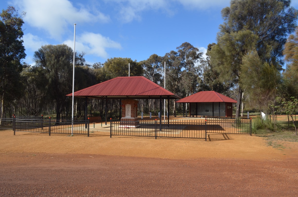
Muradap Memorial
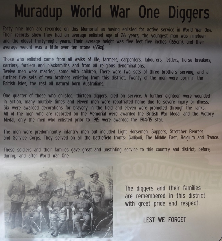
Muradap Memorial - one of the stories within the information shed
![]()
![]()
![]()
![]()
![]()
![]()
OR
Copy the link to @yilgiddie Journo below
We left the van in the caravan park and spent most of the day touring the area.
First cab off the rank was the Nannup honey business where we tasted a range of local flavours, including Jarrah and Marri. The area is renowned for its timber industry and the local timbers allow the bees to produce wonderful honey. We left their store with a range of honeys including some creamed honey and honeycomb. Yum!
Then back to Bridgetown for our coffee and then a little way up the road to Greenbushes where we stopped for a while to visit the Discovery Centre to learn about the geology of the area and the mining (originally tin and now lithium). We also took time to visit the lookout over the old mine (crooked.switching.unanswered) - this was closed a few years back and the new mine is now all underground.
The drive back to Nannup was similar to the Nannup to Bridgetown road - very hilly, an almost never-ending chicane of bends in the road, lots of trees, plenty of sheep (and their new born lambs, a surprising proportion of which were twins) and rain!
We spent the remainder of the afternoon planning the remaining time before we return home for five weeks in mid-August. Our plan is to visit a good friend in Mandurah (south of Perth) tomorrow then drive north to visit Ann’s sister near Cue (throat.upstage.zeal) - a bit of a diversion however there were a number of reasons which prompted the decision. After staying at Austin Downs station for a few days we’d then drive down to Perth via Dongara/Port Denison (timely.connected.poodles) to catch up with some friends and with Ann’s brother. Whilst in Perth we hope to catch up with more friends and get the van and vehicle serviced.
Well - that’s the plan.......
Total km today: 132
Total cumulative km: 9,421
what3words: shackles.imply.accidental
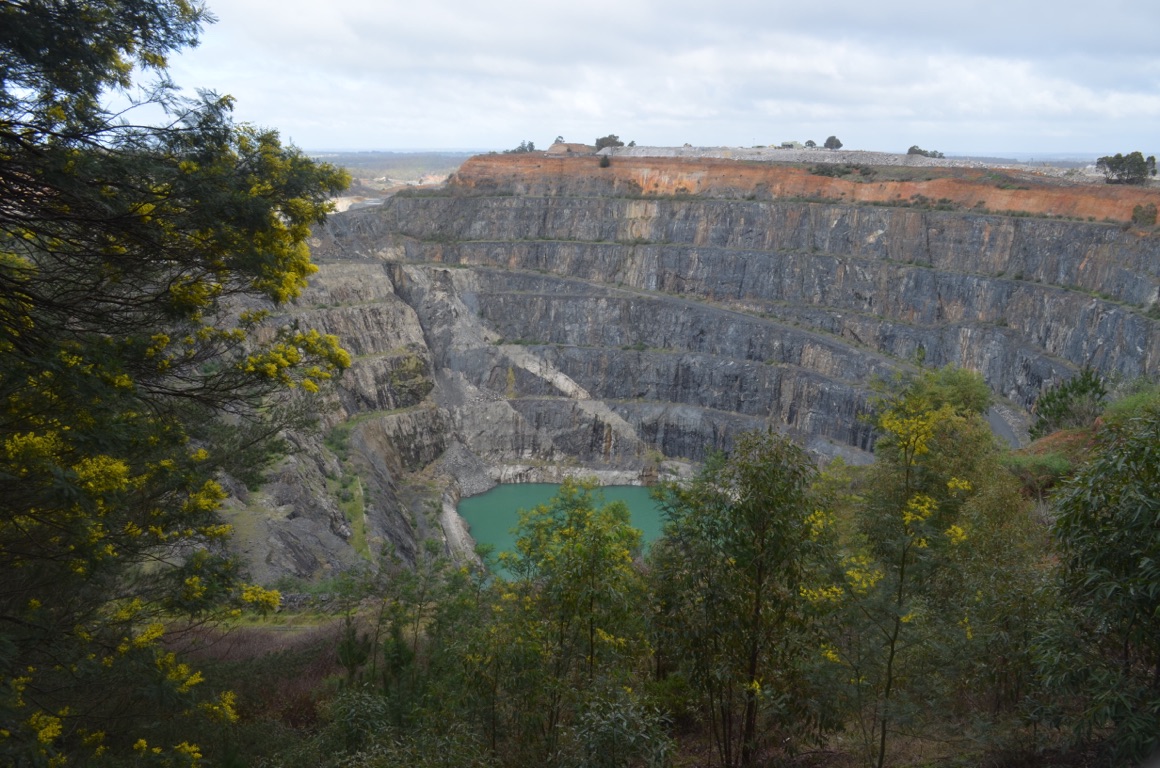
Cornwall mine at Greenbushes

Example of a miner’s hut at Greenbushes minesite
![]()
![]()
![]()
![]()
![]()
![]()
OR
Copy the link to @yilgiddie Journo below
We left Nannup in the rain and arrived at a caravan park just south of Mandurah in the rain. Not much fun.
We had previously made contact with Peter and Bronwyn Coghlan and they had invited us to have dinner with them that night. They used to live a couple of houses away from us when we lived in Port Denison and now live on one of the many canals in Mandurah (tailed.plug skill)
A few drinks into the afternoon, they invited us to stay the night at their place (it was several kilometres from the caravan park) - so we accepted their offer and enjoyed a few bottles of his excellent Shiraz and a wonderful meal of fish they’d caught further up the coast a few days before.
Total km today: 213
Total cumulative km: 9,634
what3words: odder.chant.alongside
![]()
![]()
![]()
![]()
![]()
![]()
OR
Copy the link to @yilgiddie Journo below
A rather late start after a great evening exchanging news with the Coghlans. Peter was a forward scout with 3 RAR in Vietnam and returned home after his 12 month tour in 1967 (or 1968?)
After a hearty breakfast, they drove us around Mandurah, which had grown out of all proportion since we last saw it about 20 years ago. It currently has a population of about 100,000. Then on to a fish and chip shop for lunch before they dropped us back at the caravan park.
A most enjoyable sojourn!
Total km today: 9
Total cumulative km: 9,643
what3words: odder.chant.alongside
![]()
![]()
![]()
![]()
![]()
![]()
OR
Copy the link to @yilgiddie Journo below
An interesting morning researching family history. Ann’s 5th great grandfather, Nicol Robertson Paterson died in February 1872 and was buried at what was then St John’s Church in Pinjarra (biscuits.clubs.filmed) a.ongside his wife Jane. He came out to Australia from Stromness in the Orkney islands in Scotland. The church has since been deconsecrated. He lived at Creaton, just outside Pinjarra, but the homestead is now a ruin (useless.lest.coolest) which is a shame as it was once a substantial house. His daughter was born there and we saw her gravestone in Gnowangerup several days ago.
Total km today: 78
Total cumulative km: 9,721
what3words: odder.chant.alongside
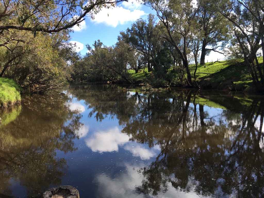
Murray River which runs through Pinjarra (and also connects St John’s Church with Creaton
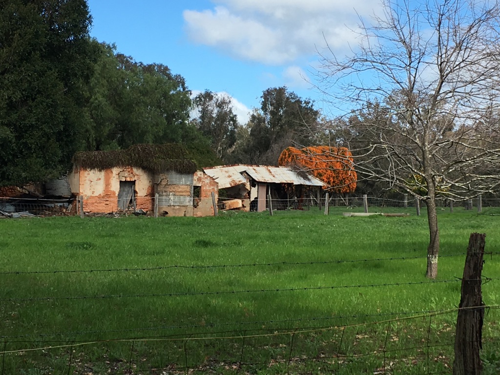
Creaton homestead ruins
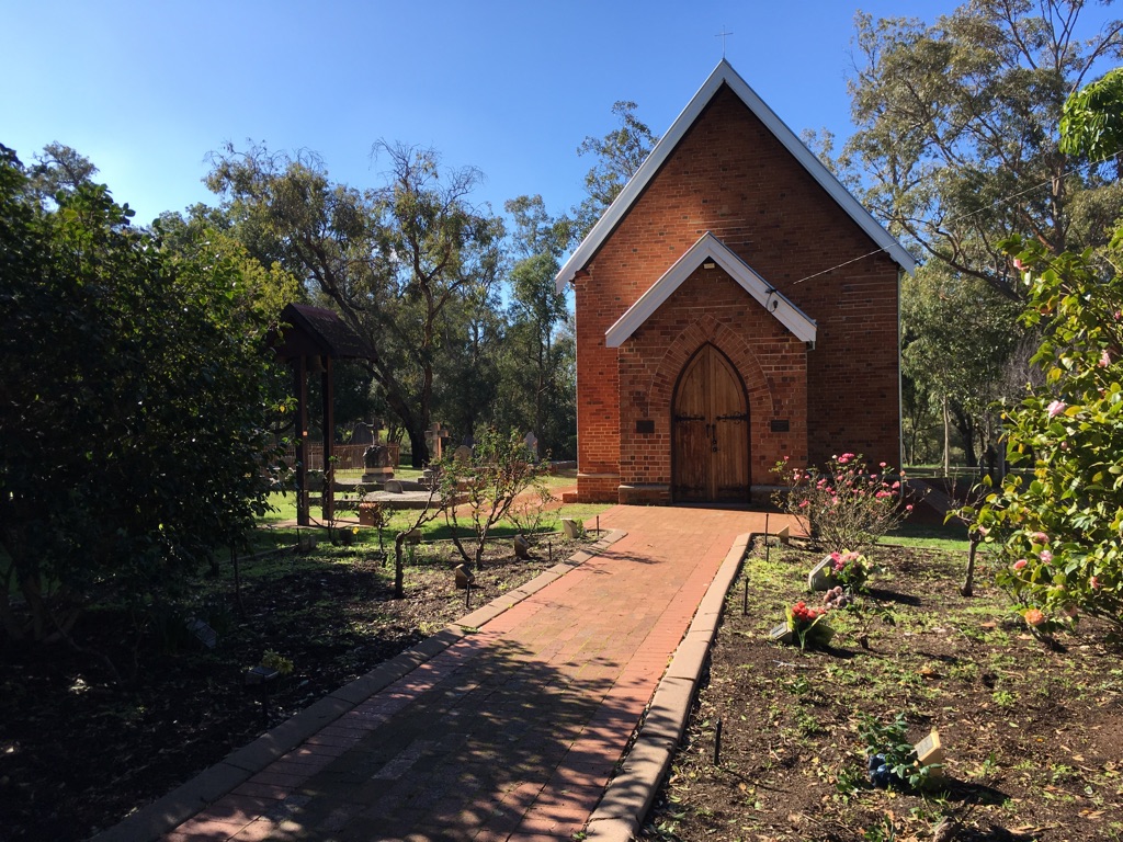
St John’s Church in Pinjarra
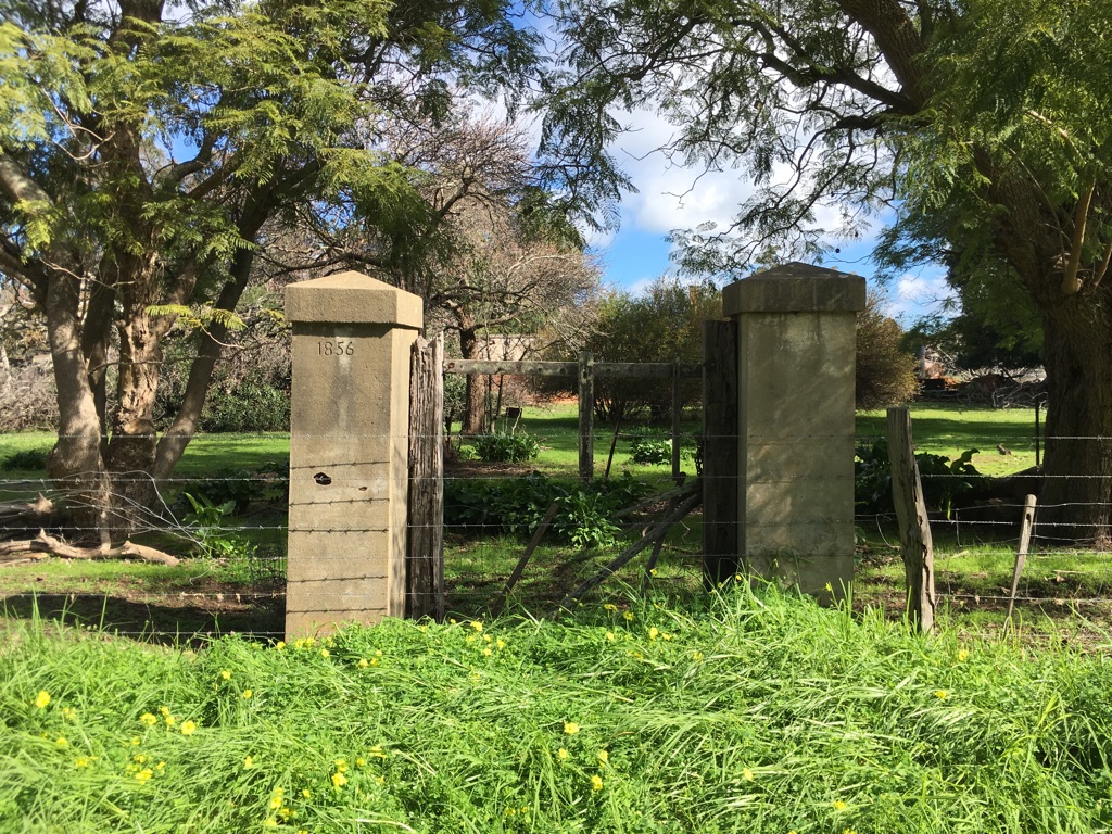
Creaton homestead ruins
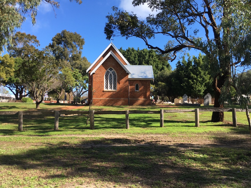
St John’s Church in Pinjarra
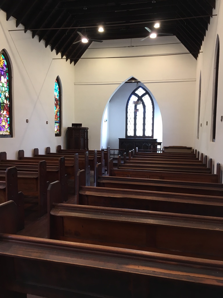
St John’s Church in Pinjarra
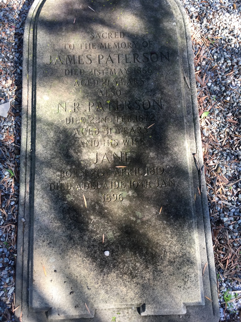
Nicol Paterson’s gravestone
![]()
![]()
![]()
![]()
![]()
![]()
OR
Copy the link to @yilgiddie Journo below
We left Mandurah just after 9.00 am and headed for the freeway towards Perth.
Although we followed the peak hour traffic, the road was really busy - it’s apparent that the towns south of Perth attract a lot of commuters. The road we took avoided Perth CBD (Kwinana and Roe Freeways, for those who are familiar with the area) and we were soon on the Great Northern Road. We were last on this quite a number of years back and so we were amazed at the progress being made at upgrading what is an important route for trucks servicing the mines all the way up to Karratha and north.
We stopped at New Norcia (sheets.taxman.launch) for a sandwich, although we didn’t spend much time there as we plan to do that on our return to Perth in a week or so.
By the time we’d refuelled at Dalwallinu (prefix.garden.relying), we decided we’d had enough for the day and found a free camp a few kilometres further north.
The memorable issue of the day was that we’d reclaimed some much needed warmer weather - although we expect the nights to be cold.
Total km today: 371
Total cumulative km: 10,092
what3words: unfocused.upholstery.frustrating
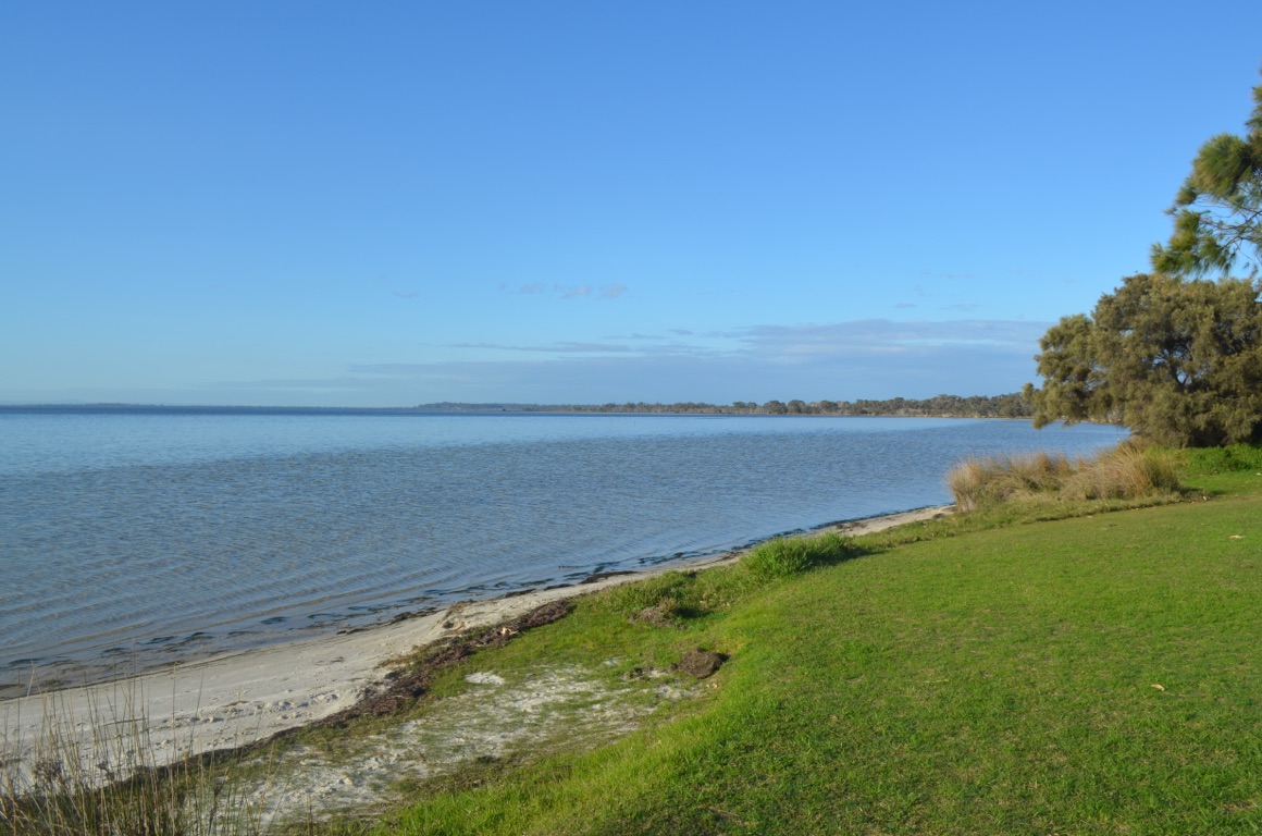
Mandurah caravan park
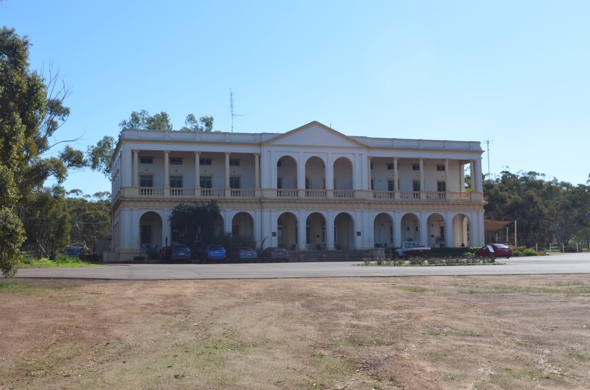
Hotel at New Norcia - where we parked and made a sandwich
![]()
![]()
![]()
![]()
![]()
![]()
OR
Copy the link to @yilgiddie Journo below
The day was fairly free-flowing as the only towns we drove through were Paynes Find (lingo.waffle.saint), Mt Magnet (every.reappears.shape) and Cue (defending.explain.storage).
We did stop briefly at Mt Magnet to visit the relatively new museum, which was interesting, and to refuel.
The road to Austin Downs has been significantly improved since our last visit almost 20 years ago and we learnt later on that the Big Bell gold mine is soon to reopen - so that is incentive enough to widen and re-grade it.
Total km today: 375
Total cumulative km: 10,467
what3words: bristles.climber.overtaking
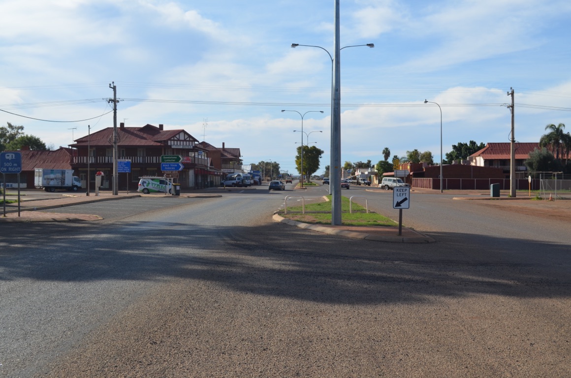
Mt Magnet
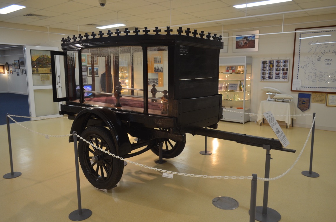
Hearse, made in Mt Magnet in the early 1900s, in Mt Magnet museum

Austin Downs sunset

Austin Downs sunset
![]()
![]()
![]()
![]()
![]()
![]()
OR
Copy the link to @yilgiddie Journo below
A very cool night, but the weather warmed up during the day and it was shirt-sleeves again!
Ann’s brother-in-law, Tom, had to retrieve some equipment from the southern boundary of the station, just over 70 kilometres away. Tom and I took the ute and trailer, whilst Ann and her sister, Barb, took another ute. One has to be especially conscious of distances (and complete lack of any communications) in this country, therefore it was essential either to take two vehicles or, when Tom and Barb have no visitors, Tom drives off on his own, letting Barb know where he’s planning to go and, if he doesn’t return by a specific time, Barb drives out to find him.
The equipment that had to be retrieved was located at a temporary camp where a fence was being upgraded. A sheep fence had already been installed, albeit requiring some attention, but because it was planned to introduce cattle to the paddock, the existing fence required an additional 250mm of barbed wire added to its height. 20 kilometres of fence had already been upgraded, whilst they have another 15 kilometres to go.....
On our return to the homestead we saw evidence of wildflowers starting to show. Also stopped at a waterhole which is used by cattle.
The Austin Downs property is about 400,000 acres.
Total km today: nil (in our vehicles)
Total cumulative km: 10,467
what3words: bristles.climber.overtaking

Waterhole
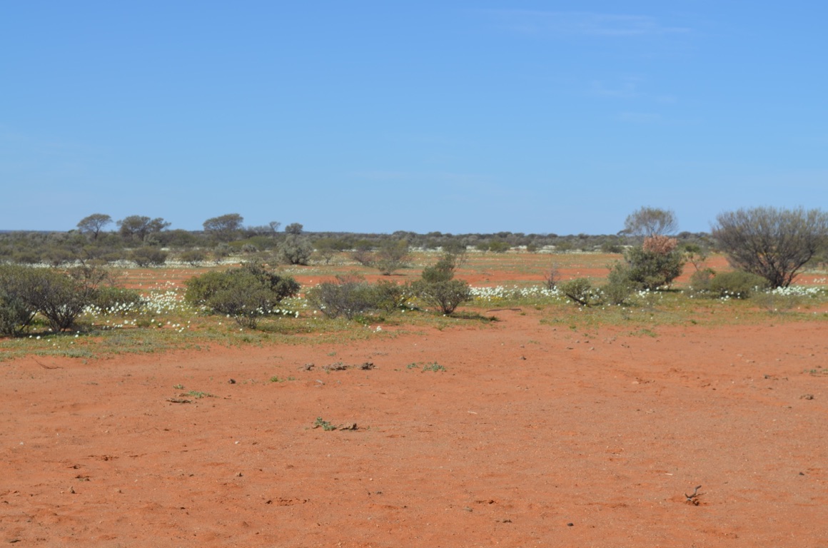
Early emergence of wildflowers
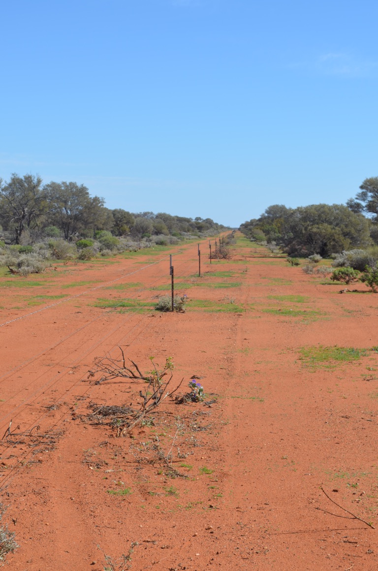
Fence line
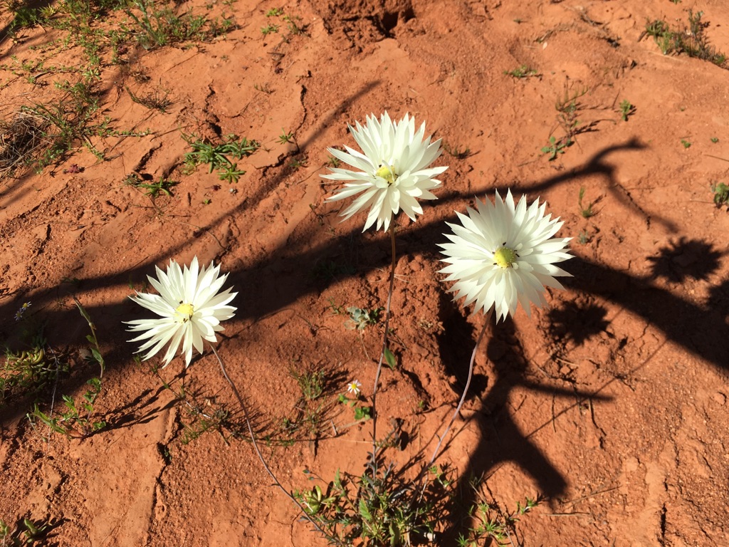
Wildflowers
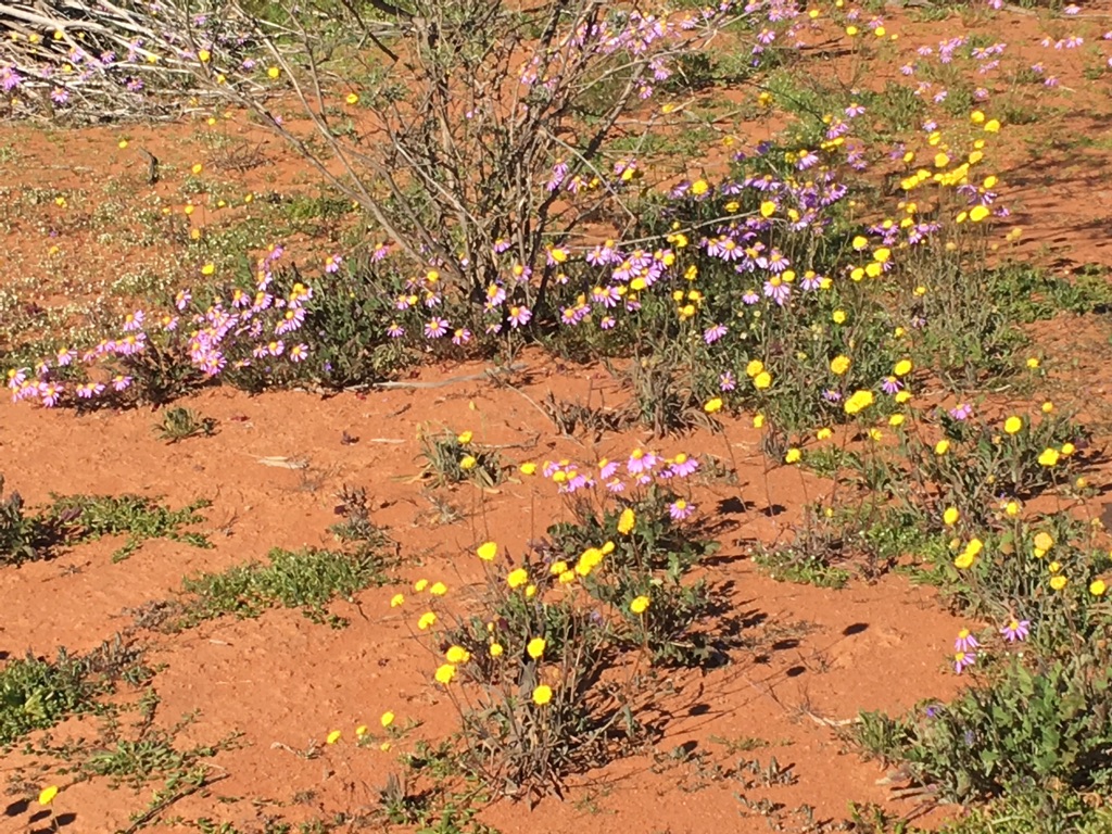
Early emergence of wildflowers
![]()
![]()
![]()
![]()
![]()
![]()
OR
Copy the link to @yilgiddie Journo below
A cool day with plenty of cloud cover.
One of Tom’s recently acquired second (or perhaps fifth) hand trucks featured a relatively small fuel tank and so he determined that an additional fuel tank needed to be installed on the tray. A search of the station’s dump revealed a discarded oil tank and so the morning’s work focused on getting this done.
The afternoon was spent doing minor maintenance.
Total km today: nil
Total cumulative km: 10,467
what3words: bristles.climber.overtaking
![]()
![]()
![]()
![]()
![]()
![]()
OR
Copy the link to @yilgiddie Journo below
Tom is contracted, by Westgold which has the mining lease surrounding Austin Downs station, to do a weekly water measurement run at four sites along the water pipelines which deliver water to the minesite. We went along for the ride, which included entering the minesite and spending time walking the old Big Bell townsite.
Westgold only recently took on the mining lease for Big Bell. The mine was initially established in 1935 and the town, at its peak, grew to 850 souls with all manner of shops, markets, churches, provision of mail several times a week and almost everything today’s town might offer. When the mine first closed in 1955, the town died. Several attempts have been made to reopen it over the years and, today, plans are afoot to increase gold production next year. Miners are now employed on a fly-in/fly-out basis and the miners’ camp currently houses 150, increasing to 400 next year.
After returning to the homestead, it was back to vehicle maintenance....
Total km today: nil
Total cumulative km: 10,467
what3words: bristles.climber.overtaking
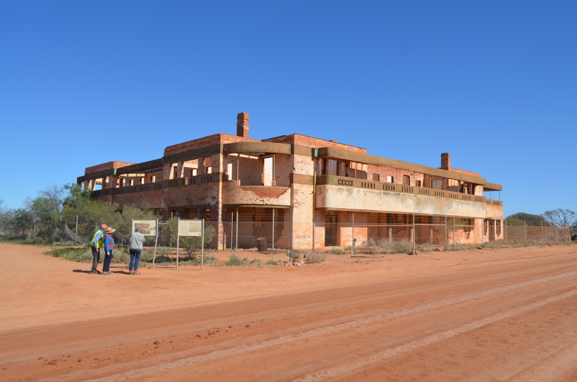
Big Bell Hotel
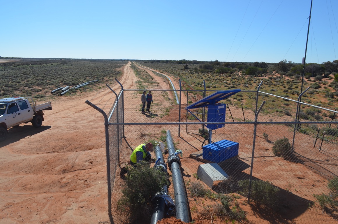
Monitoring water movement

Big Bell Catholic Church
Westgold Big Bell Gold mine
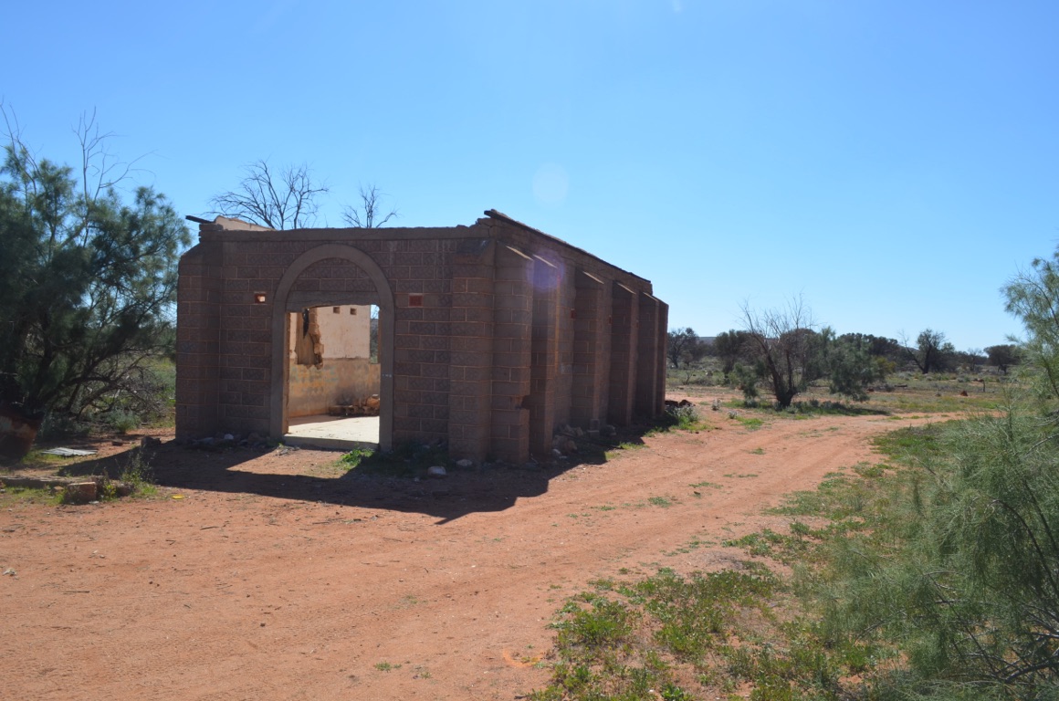
Big Bell Catholic Church

Big Bell gold ore road train (4 trailers)
![]()
![]()
![]()
![]()
![]()
![]()
OR
Copy the link to @yilgiddie Journo below
Tom and Barb has been away from the station for a few weeks as one of their daughters and her family were visiting from Africa (spending most of their time at Gidgegannup near Perth). So they needed to monitor re-generation on the station after their temporary absence - and they took us for the ride.
A significant proportion of the Murchison pastoral country has been seriously overgrazed over many years with little or no thought to future damage to the country and Tom and Barb have made it their passion to do something positive towards rectifying this - at least, on Austin Downs. This has resulted in some very significant improvements - but at the cost of them making a living of any significance. They started this project 15 or so years ago after their initial project to grow Chinese dates on a commercial scale in an arid environment came crashing down after a willy willy tore through their orchard, destroying everything in its path, including all the infrastructure they had built.
They were forced to abandon the project and refocus on the station and its regeneration, which required them to secure additional income from the gold mines (for Tom) and community occupational health (for Barb).
Their obvious concern now, as they approach \240retirement, is to accept that all their hard work in improving the grazing country on the station will be lost as a future buyer of their pastoral lease will, almost certainly, want to take advantage of all the improvements......
Total km today: nil
Total cumulative km: 10,467
what3words: bristles.climber.overtaking
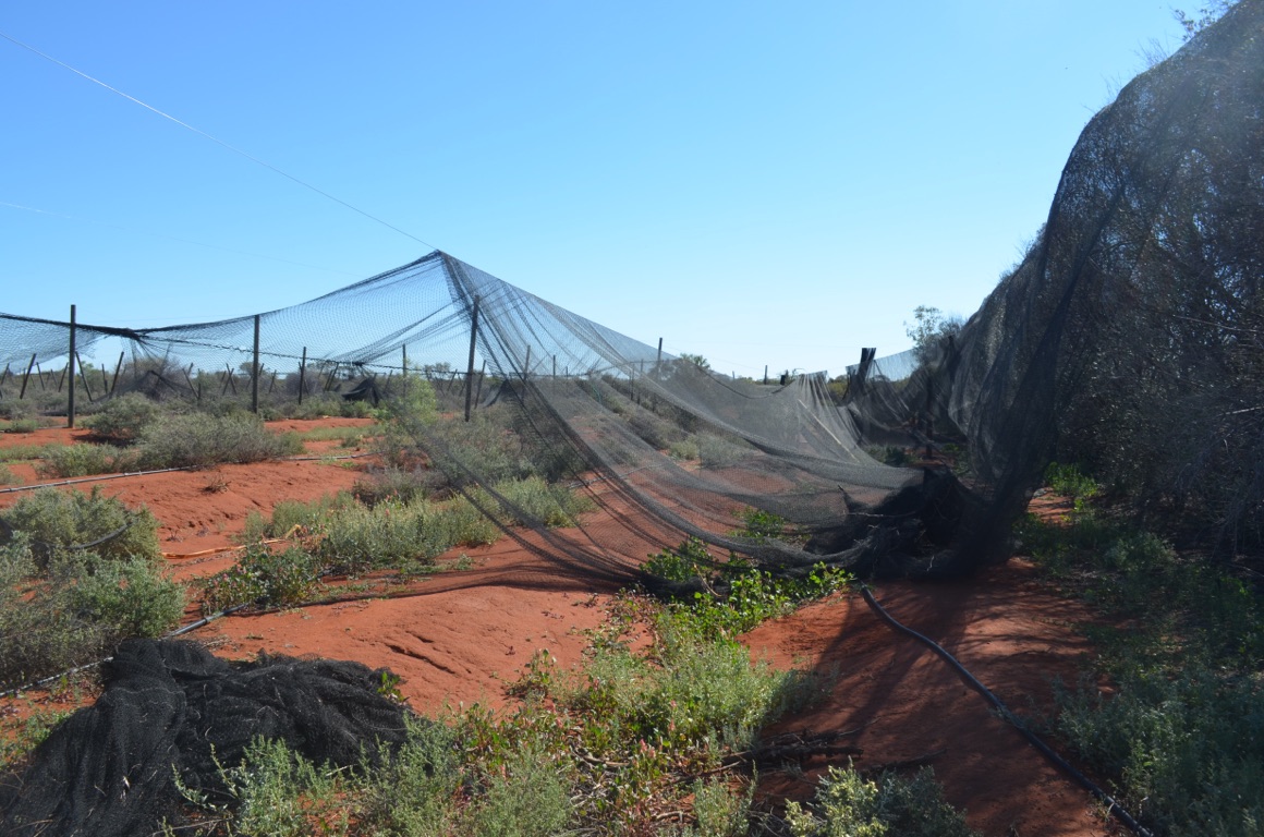
Destroyed Chinese dates orchard at Austin Downs
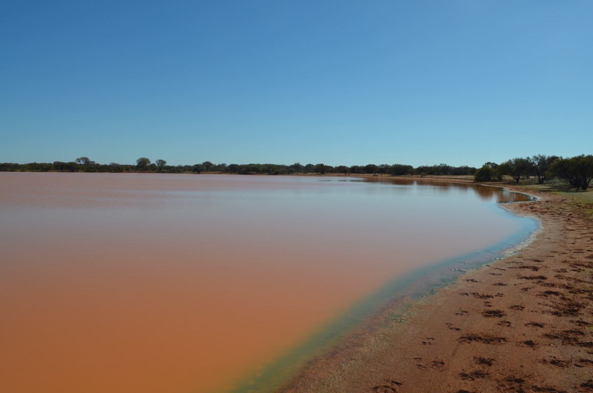
Lake on Austin Downs station
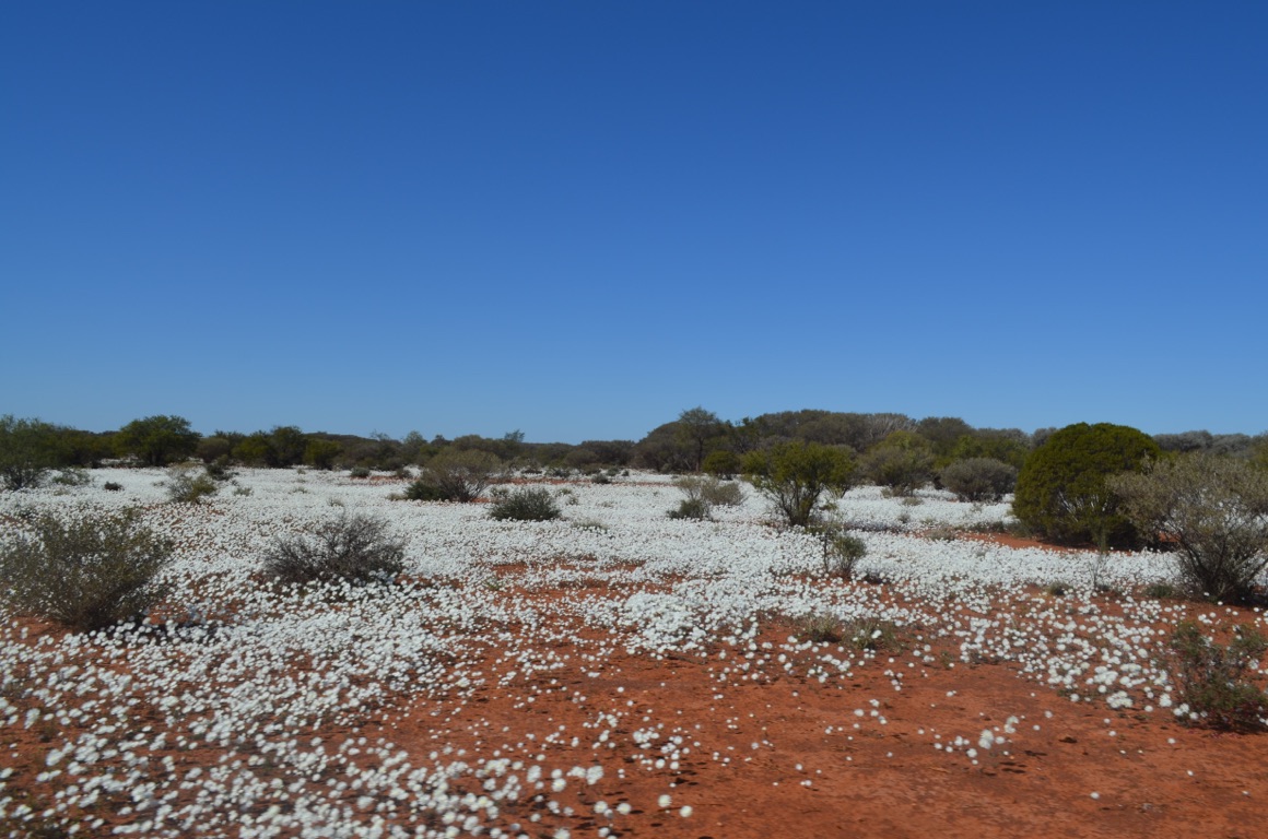
Wildflowers emerging at Austin Downs
![]()
![]()
![]()
![]()
![]()
![]()
OR
Copy the link to @yilgiddie Journo below
A relatively early start for our journey south and west.
We drove through Mt Magnet (sage.graciously.oily), Yalgoo (freebies.skylark.help) and Mullewa (upbringing.nearing.indulging).
We had lunch (great steak sandwiches in the Yalgoo Hotel) and had a look around the town before hitting the road again. On leaving Mullewa, we headed south and drove about 50 kilometres to Coalseam Conservation Park - renowned for its plethora of wildflowers but, as we anticipated, we were a few weeks early. Nevertheless, it was a pleasant place to spend the night. It had been one of Ann’s favourite places to visit as a child.....
The other, few, caravaners at Coalseam had organised a happy hour just before our evening meal, so it was a very acceptable way of ending the day.
Total km today: 403
Total cumulative km: 10,870
what3words: wrecking.clarified.gazette
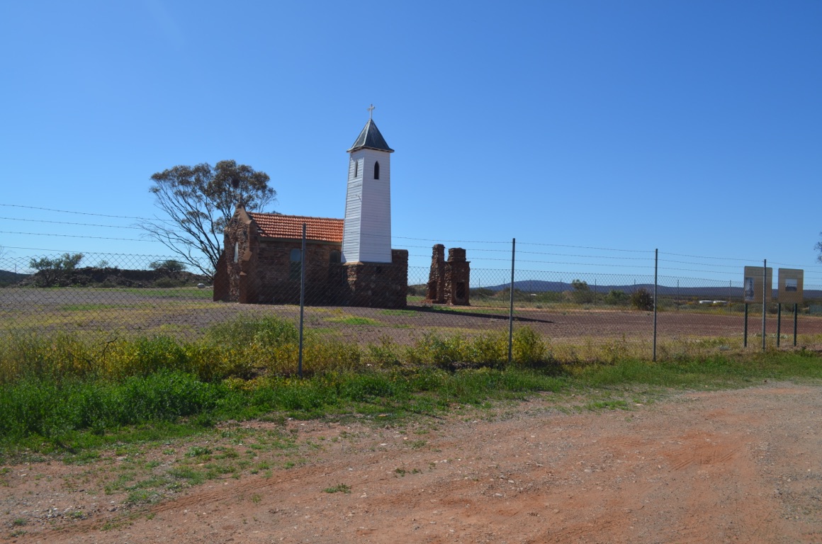
St Hyacinths, Yalgoo
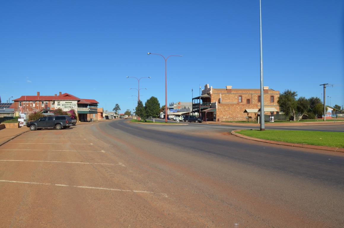
Cue
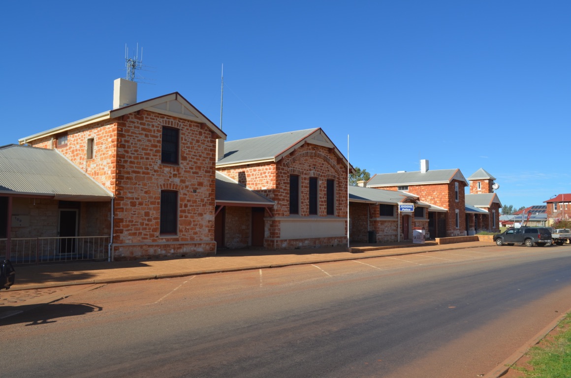
Cue Police Station

Yalgoo Hotel
![]()
![]()
![]()
![]()
![]()
![]()
OR
Copy the link to @yilgiddie Journo below
An hour’s drive and we had arrived in Port Denison. Simply beautiful weather, not a cloud in the sky, with just a bite in the wind.
Rob (Ann’s brother) and Ros, who we’d be staying with overnight, took us around the town, including a drive past our ‘old’ house which is now used as a holiday house. Then lunch at the cafe beside the Seaspray caravan park. A quiet afternoon followed by late afternoon drinks with crayfish ‘bites’ and a crayfish dinner.
Total km today: 100
Total cumulative km: 10,970
what3words: hilly.reason.warp
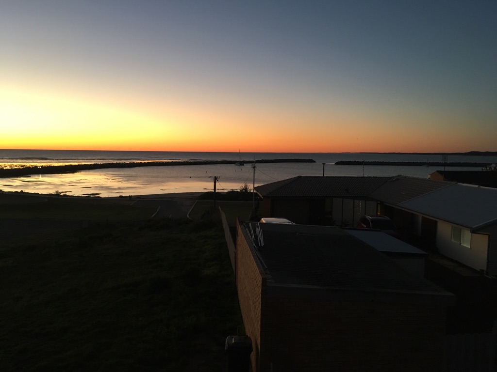
Sunset a Port Denison
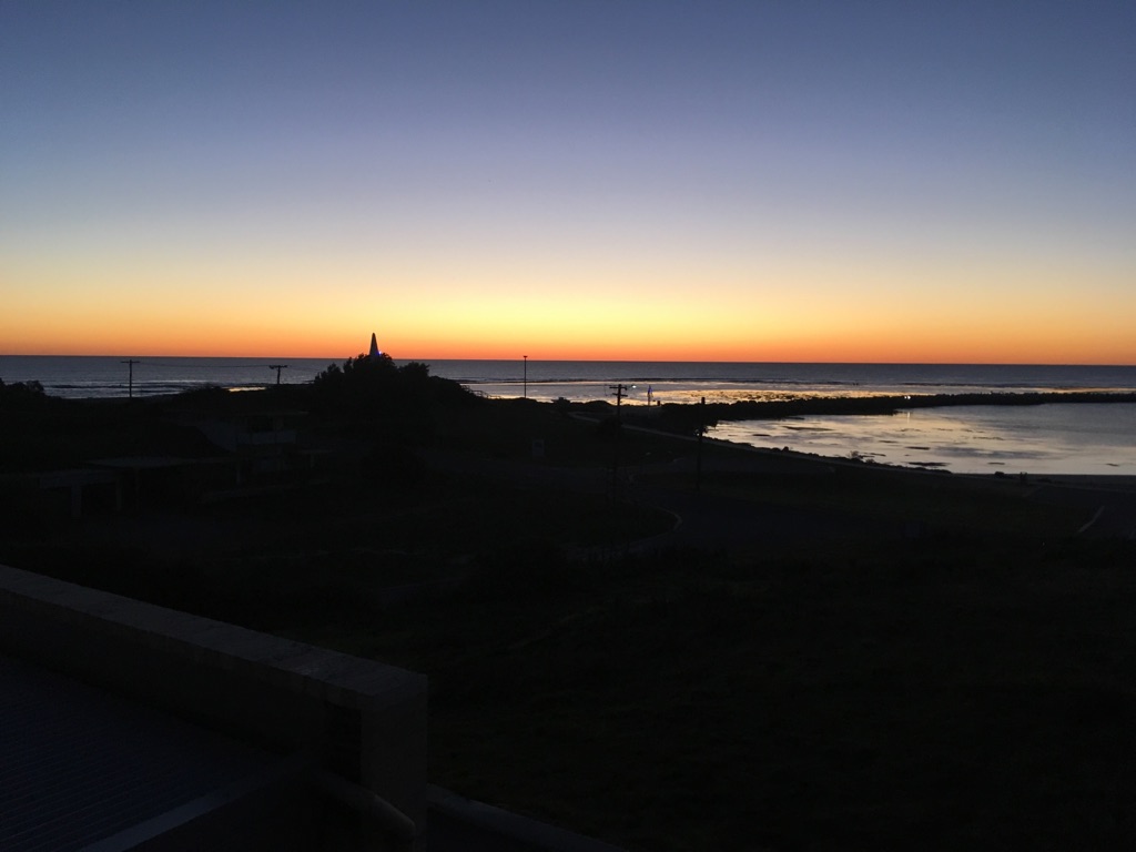
Sunset a Port Denison
![]()
![]()
![]()
![]()
![]()
![]()
OR
Copy the link to @yilgiddie Journo below
After breakfast we took Rob and Ros to a relatively new coffee shop in Dongara which had been set up in the original Roads Board building, owned by the Dongara Sub Branch RSL. The building sits alongside the Memorial Park and, fittingly, is named ‘Poppies’.
We had decided to drive straight through to Perth, rather than stopping overnight at New Norcia, as we’d planned, as David needed to see a chiropractor ro mend his back - too much heavy lifting with Tom at Austin Downs. We had previously arranged to park the caravan at Tom and Barb’s Gidgeganup property just outside Perth until it was due for its service in two weeks time, so we stopped there for the night and the following night.
Total km today: 346
Total cumulative km: 11,316
what3words: stubbornly.invest.influential
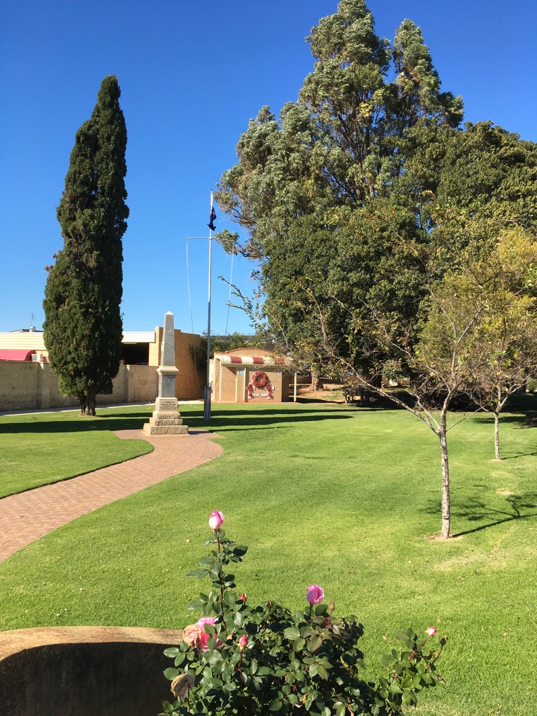
Recently improved War Memorial at Dongara
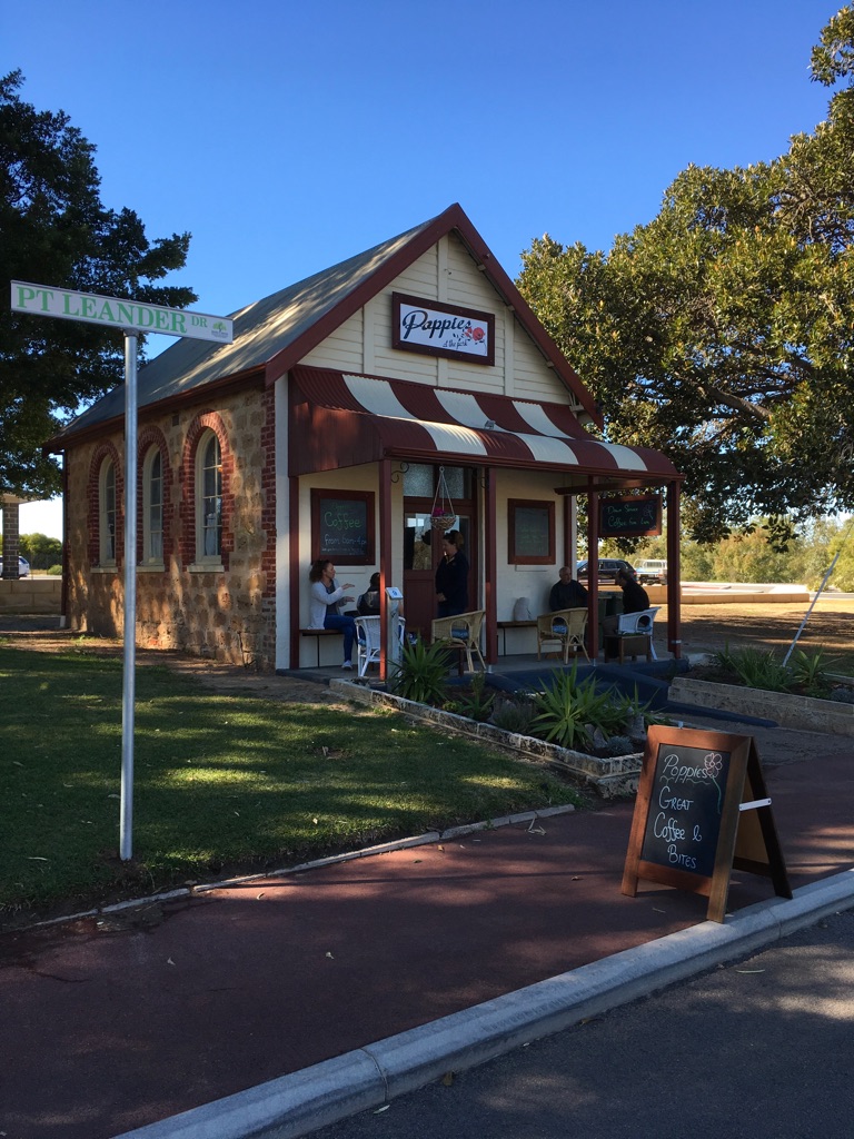
Poppies cafe next to the War Memorial (opened earlier in the week)
![]()
![]()
![]()
![]()
![]()
![]()
OR
Copy the link to @yilgiddie Journo below
Very much a maintenance day - a chiropractor visit (partially successful), vehicle issues that needed to be dealt with and tidying up the caravan before leaving it at Gidgeganup until its service in 10 day’s time.
We will be staying with Anthony and Anthony at Gooseberry Hill (destroyers.flashback.fortress) until we fly back home on 20 August.
Total km today: nil
Total cumulative km: 11,316
what3words: stubbornly.invest.influential
![]()
![]()
![]()
![]()
![]()
![]()
OR
Copy the link to @yilgiddie Journo below
The plan today was to remove as much from the van as we could in order to prepare it for its service in 10 days time, This was all completed and everything was loaded into the Landcruiser. But then the Landcruiser wouldn’t start. The batteries were flat. Logically, it had to be the alternator as both batteries were almost new. The quickest way to resolve the issue was to call on roadside assist to get us going again, which we did. The alternator was confirmed as being the problem, which we’ll get fixed when the vehicle is serviced next week.
We drove across to Gooseberry Hill and set ourselves up in the cottage which sits alongside the main house.
In the evening, we took ourselves off for a celebratory birthday meal at ‘Embers’, just down the road (cake.logging.defeats).
Total km today: 30
Total cumulative km: 11,346
what3words: destroyers.flashback.fortress.
![]()
![]()
![]()
![]()
![]()
![]()
OR
Copy the link to @yilgiddie Journo below
We went back to the caravan at Gidgeganup to clean it prior to its service next week and also went into Midland for some shopping.
A maintenance day......
Total km today: nil
Total cumulative km: 11,346
what3words: destroyers.flashback.fortress
![]()
![]()
![]()
![]()
![]()
![]()
OR
Copy the link to @yilgiddie Journo below
We drove down to Fremantle to have lunch with Will (one of Ann’s grandsons) and his girlfriend. Will is currently working two weeks ‘on’ and one week ‘off’ on a fly-in / fly-out basis at a gold mine north of Kalgoorlie.
Lots of rain!
Total km today: nil
Total cumulative km: 11,346
what3words: destroyers.flashback.fortress
![]()
![]()
![]()
![]()
![]()
![]()
OR
Copy the link to @yilgiddie Journo below
An early start to get the Landcruiser in for its service by 7:30, followed by a walk back.
More rain!
Total km today: nil
Total cumulative km: 11,346
what3words: destroyers.flashback.fortress
![]()
![]()
![]()
![]()
![]()
![]()
OR
Copy the link to @yilgiddie Journo below
Anthea took us for a drive through the Swan Valley.
We visited a few art galleries, Australia’s oldest church, the ‘House of Honey’, the ‘Cheese Barrel’ for lunch and a couple of cafés for morning and afternoon smokos. A rather indulgent day......
On the way home, the Landcruiser was collected after its two-day service in Kalamunda.
A full and interesting day.
Total km today: nil
Total cumulative km: 11,346
what3words: destroyers.flashback.fortress
![]()
![]()
![]()
![]()
![]()
![]()
OR
Copy the link to @yilgiddie Journo below
After an extended trip back home (we left Perth on 20 August and returned on 1 October), we’re on track to resume our journey.
During the past few weeks we’ve covered a lot of ground, metaphorically speaking. Whilst at home we caught up with friends, visited the doctor, the dentist, the chiropractor, the cardiologist (and, if we’d had time, the butcher, the baker and the candlestickmaker). Importantly, we also spent a lot of time in the garden, weeding, pruning, mowing, watering and all manner of other activities. And had to manage a water leak in the bedroom which required urgent attention and financial assistance from the insurance company!
Whilst at home, one of Ann’s brothers and his wife, who were on their way through from WA in their caravan, stayed with us for a few days and we were able to show them around, including stopping at the Byron Bay Lighthouse (within a few hundred metres from the most easterly point in Australia).
On returning to Perth, we caught up with friends and family, visited the WA Maritime Museum (really interesting) and spent a day on Rottnest Island (for old time’s sake).
Tomorrow morning we’re leaving Perth and heading north for just over 100km to visit New Norcia which we missed seeing on our way back from Cue several weeks ago - more later.
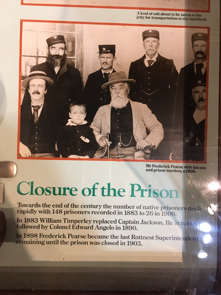
Frederick Pearse is Ann’s great grandfather
The garden at home has developed (grown!) significantly since we left...
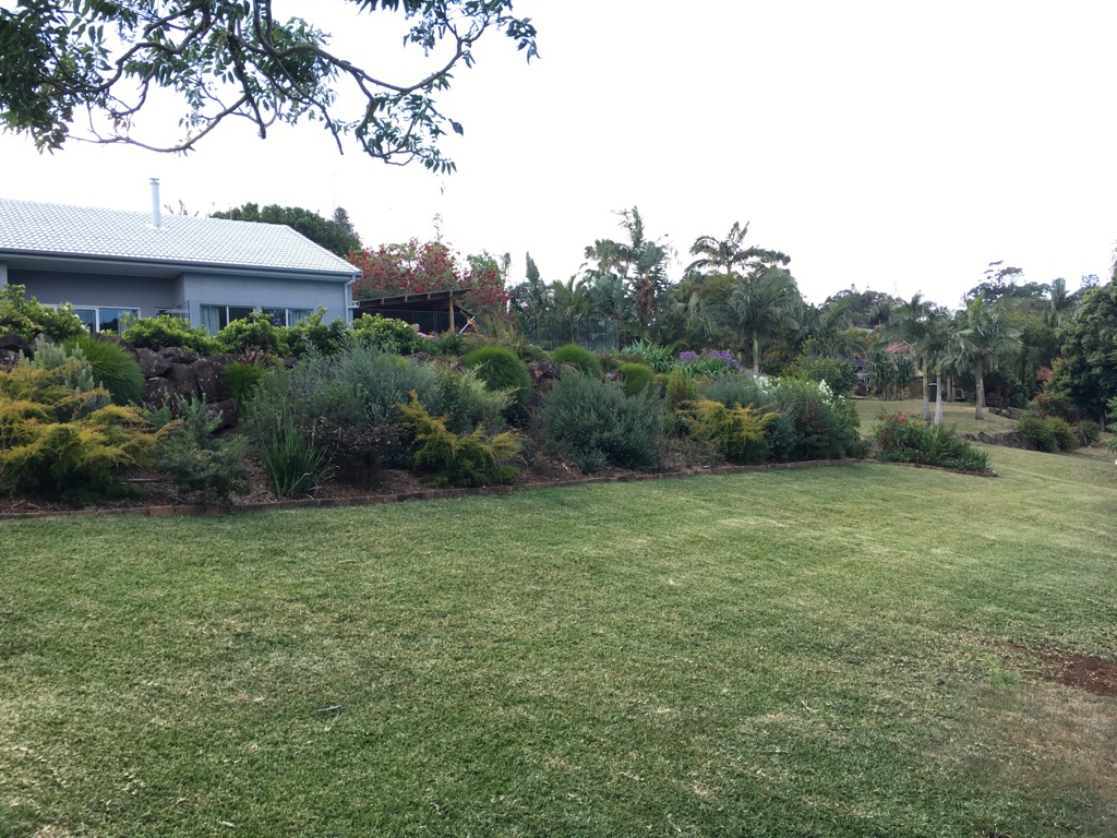
The native garden has also grown significantly
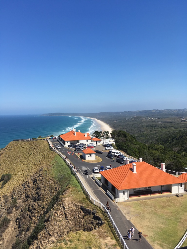
View from atop the Byron Bay lighthouse
The Superintendent’s house on Rottnest Island
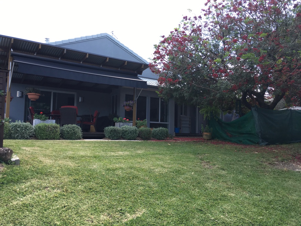
The drunken parrot tree, on the right, in full flower
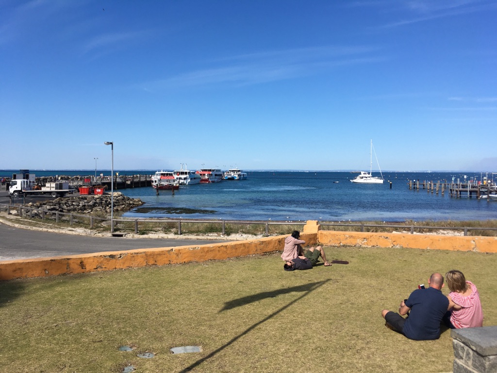
Ferries lined up at the Rottnest Island jetty
The Byron Bay lighthouse
![]()
![]()
![]()
![]()
![]()
![]()
OR
Copy the link to @yilgiddie Journo below
An early start this morning and we were on the road before 0800. Stopped for coffee at Bindoon (pavements.deadliest.puddings) and then on to our destination at New Norcia (pelted.widgets.earned).
We elected to join a 2 hour tour of the monastery which was really interesting, although I know it would have been even more interesting had I been able to understand every word which came out of the mouth of our Indonesian guide.
The monastery was established by Dom Rosendo Salvado after he arrived in Australia in 1846 - he was appointed Administrator Apostolic of New Norcia in 1859 and Abbot in 1867. It is now the only monastery in Australia, currently with 10 monks in residence.
The full story can be found here: https://www.newnorcia.wa.edu.au/.
In the evening we treated ourselves to a meal at the hotel (sheets.taxman.launch).
Total km today: 140
Total cumulative km: 11,486
what3words: magician.gallons.enlightening
St Gertrude’s at New Norcia

New Norcia Hotel
St Ildephonos at New Norcia
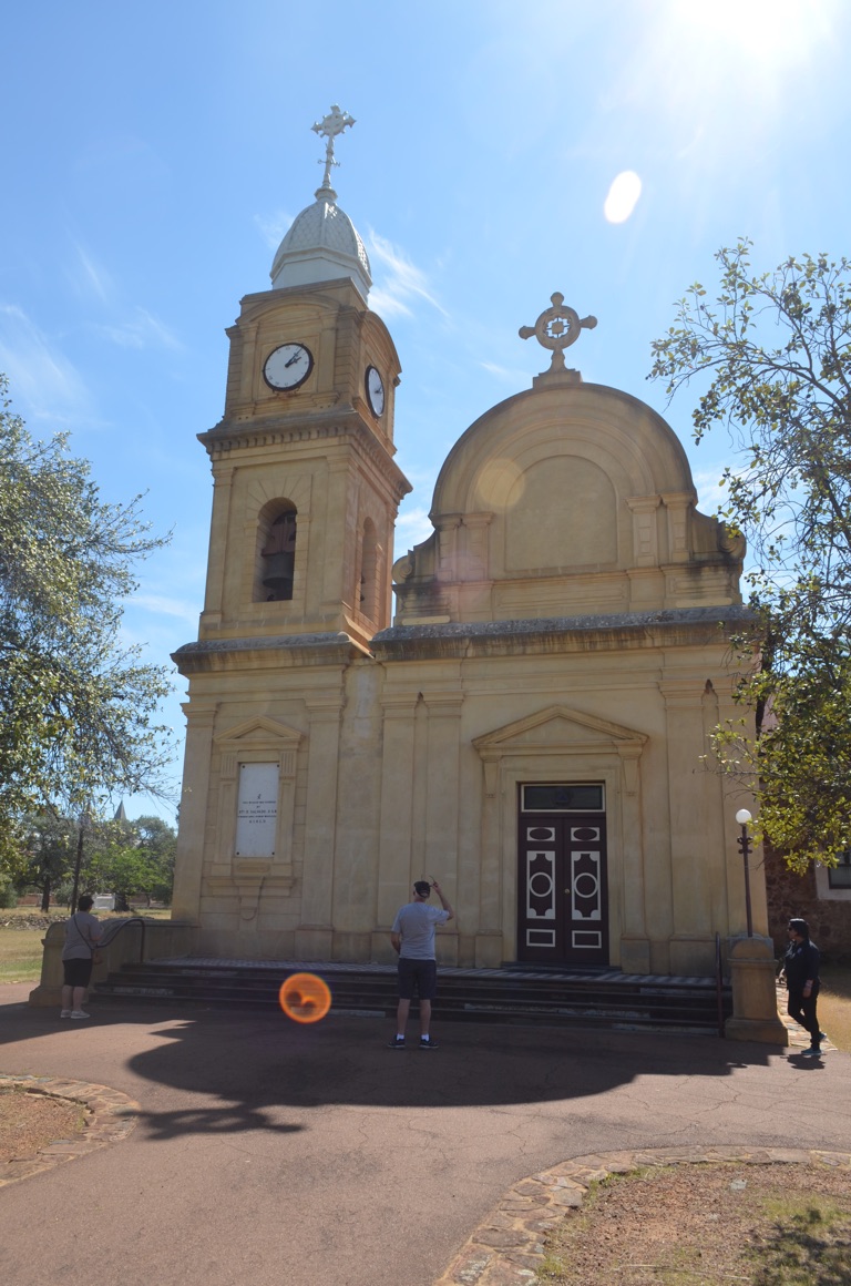
New Norcia Abbey Church
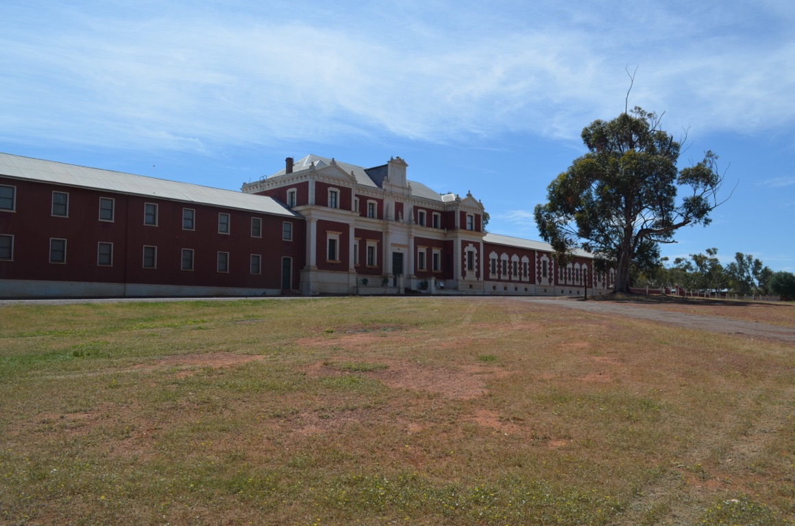
New Norcia Monastery
![]()
![]()
![]()
![]()
![]()
![]()
OR
Copy the link to @yilgiddie Journo below
Last night we discovered that the hot water system, at least, that part of it which is operated by the 12 volt electrical system as opposed to the 240 volt system, was not working. Whilst in the Perth caravan park we had access to 240 volts and had no need to use the 12 volt system. In fact, we’d not used the 12 volt system since it had been declared useable by the repairer prior to flying back home.
We were reluctant to drive home without hot water (as there won’t be many opportunities to stay in caravan parks along the way) and so decided to take the van back to the Perth repairer again - however, they were fully booked for another week.
Initially, we decided to find a park near Perth and so headed for Toodyay, stopping for lunch at Bolgart (immersing.siesta.waitresses) but then decided instead to spend the week in Dongara.
We’re now in Toodyay and will drive to Dongara in the morning.
Not a particularly productive, or enjoyable, day!
Total km today: 98
Total cumulative km: 11,584
what3words: hound.indulging.evens
![]()
![]()
![]()
![]()
![]()
![]()
OR
Copy the link to @yilgiddie Journo below
Although there was nothing wrong with the amenities within the caravan park last night, it was nevertheless fairly ordinary and we were glad to get back on the road.
First stop was Gingin (byways.downward.poses), where we stopped for coffee. Then on to Badgingara (stow.urging.humidity) to have lunch and finally to our pre-booked site at Port Denison - just a stone’s throw from the house we had during the period 1998 through 2003. So it was almost like coming home - but not quite!
Ann’s brother and his wife (who live within walking distance of the park) came down for a couple of drinks after we’d set up.
Total km today: 349
Total cumulative km: 11,993
what3words: numb.plodded.confesses
![]()
![]()
![]()
![]()
![]()
![]()
OR
Copy the link to @yilgiddie Journo below
A great day with temperatures in the low 30’s with low humidity.
However, after a quick beach walk along South Beach (listener.recruits.counters) and some essential shopping, the day required some maintenance in and around the caravan. One can’t travel significant distances, often along less than perfect tracks, without incurring some damage and today the requirement was to pull some of the window blinds apart to improve their operating efficiency.
A lazy afternoon.
Total km today: nil
Total cumulative km: 11,993
what3words: numb.plodded.confesses
![]()
![]()
![]()
![]()
![]()
![]()
OR
Copy the link to @yilgiddie Journo below
For some reason or other, the software now doesn’t allow me to modify the date, so I’m unable to change the date of this post from this morning (Sunday) to yesterday which is the activity date.
So, after a late breakfast at the Starfish Café (coasters.massively.retain), Saturday was a combination of cleaning both the vehicle and the caravan, taking a drive around town (including stopping briefly at the Illegal Tender Rum Company https://illegaltenderrumco.com/) (patrolman.sparingly.tutored) until we found that a coach party had decided to take residence - and were enjoying themselves: so we moved on. Then up to 7 mile beach (shove.tattoos.hung) and back.
The evening was coolish and quite windy.
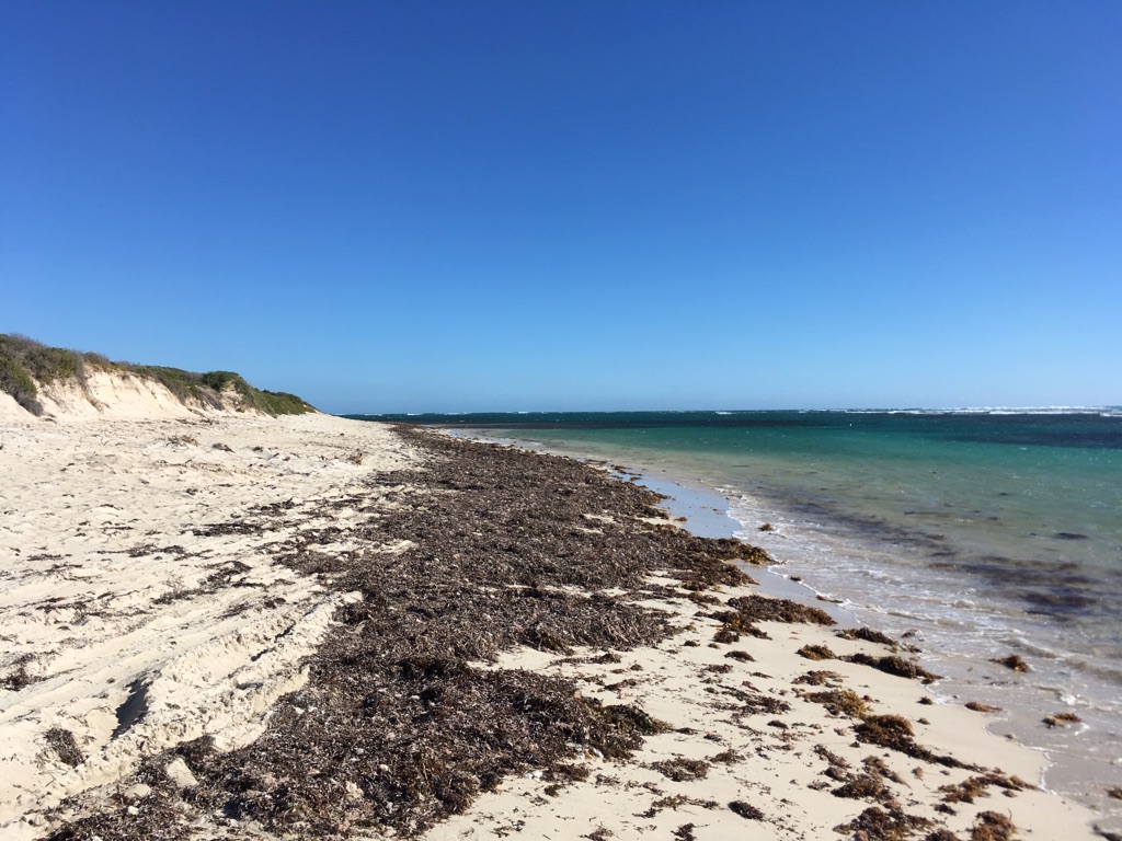
7 mile beach (the seaweed will disappear once the beach gets a strong wind to remove it all)
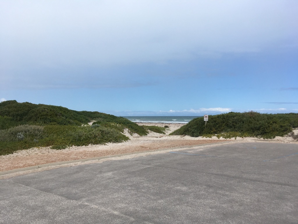
Beside the Starfish Café
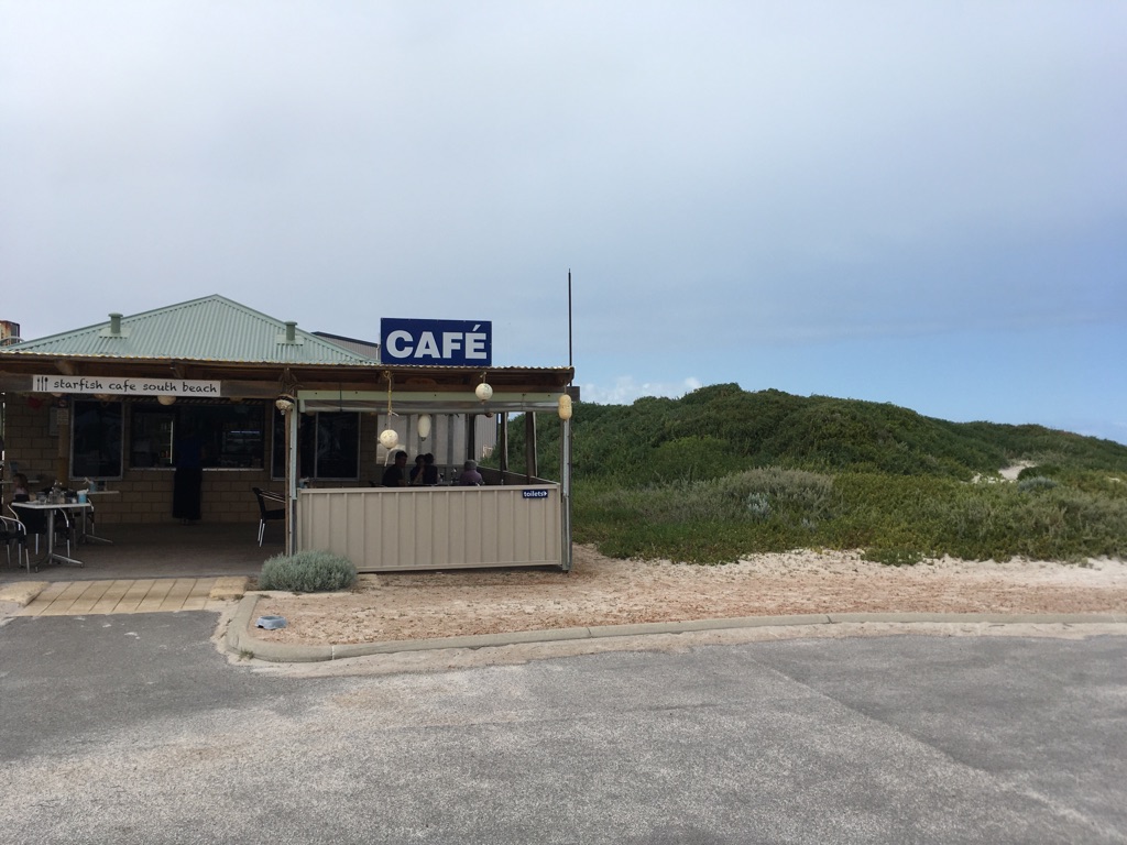
Starfish Café at Port Denison
![]()
![]()
![]()
![]()
![]()
![]()
OR
Copy the link to @yilgiddie Journo below
A lovely day today - not too cool and not too hot.
We dropped into have coffee in the morning with one of Ann’s brothers and then went on to a Quilt exhibition at the Rec(reaction) Centre. It’s held every three years and is now regarded as being the best in Western Australia. Although I’m not an aficionado, I can recognise talent and good design when I see it and it was very much in evidence.
We then returned to the Illegal Tender Rum Company and had a tour of the distillery, which included sampling the product, followed by a good lunch. Decided to buy a bottle....
Lazy afternoon.
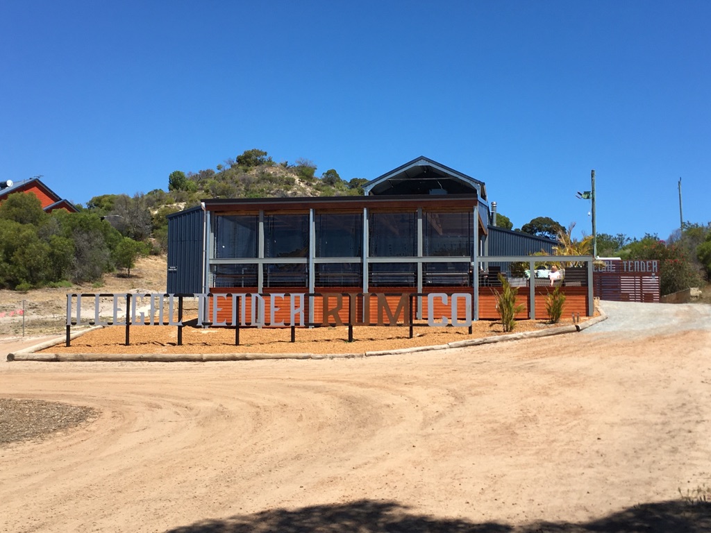
The Illegal Tender Distillery
![]()
![]()
![]()
![]()
![]()
![]()
OR
Copy the link to @yilgiddie Journo below
We decided to drive up to Geraldton today, primarily to see whatever changes had been made.
The town is 65 km north of Dongara on a good road. First stop, after buying a pair of replacement sunglasses for Ann, was Dôme for a coffee (respects.mushroom.given) whilst we watched an iron-ore ship being assisted into the port by three tugs.
On the foreshore is a statue of Wiebbe Hayes who, in 1629, had saved many of those who had escaped a massacre on the Abrolhos Islands (outdoor.pant.mondays) initiated by Dutchman Jeronimous Cornelisz. Hayes was considered a hero
Then via the Geraldton Museum (released.format.search) and a drive through the town to the Port where we took a few photos (chatting.river.probing) and had a fish ‘n chip lunch whilst we watched a crayfishing boat being dropped back into the water (crunchy.bitters.mercy).
Then back into town to the Monsignor Hawes Heritage Centre (sampling.brain.curated) and next door to St Francis Xavier Cathedral (sensual.central.sorry) which was designed and built by Monsignor Hawes, along with several other buildings (mainly churches) in the Mid West. Monsignor Hawes story can be found at: https://www.monsignorhawes.com.au/
Tonight we’ll be having dinner with both of Ann’s brothers (one of whom returned today from a caravan trip across to the Eastern States) and their respective wives at the Dongara Hotel (whizzes.achievements.yoyo).
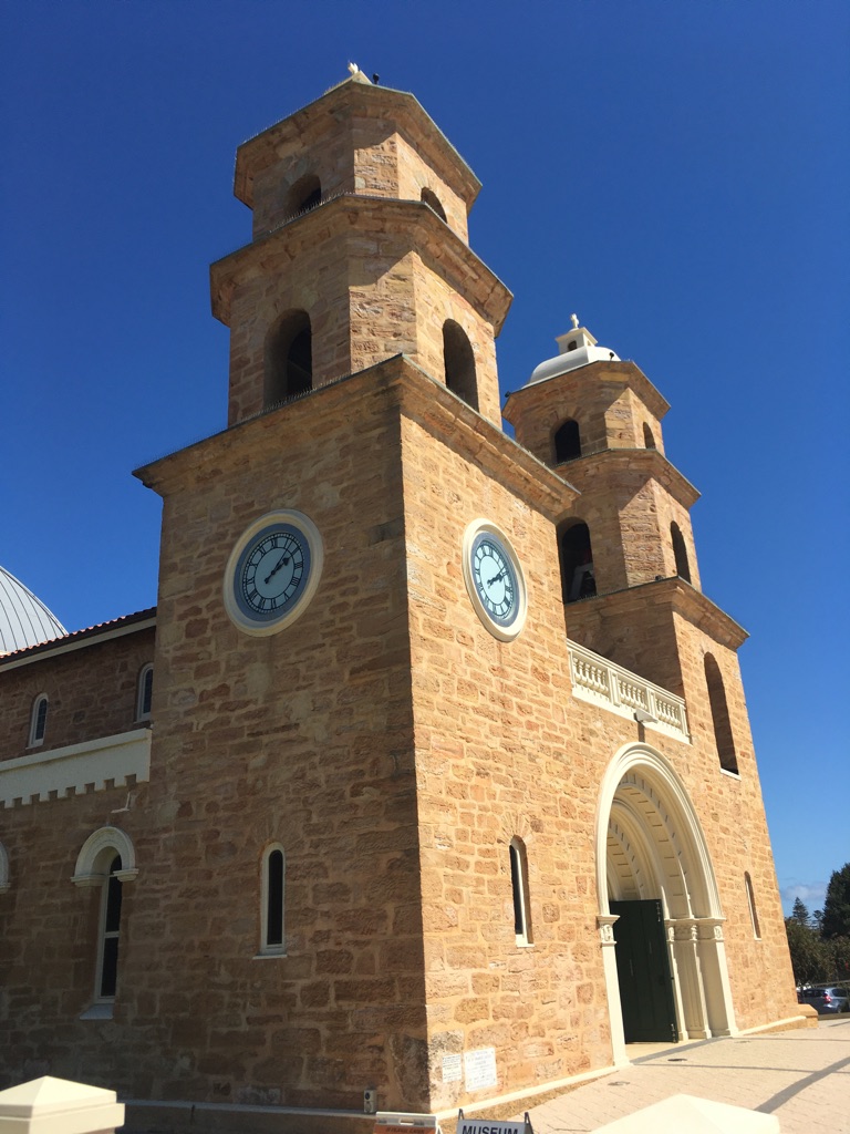
St Francis Xavier Cathedral
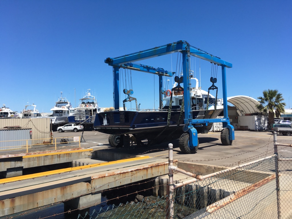
Preparing to drop a crayfishing boat back into the water
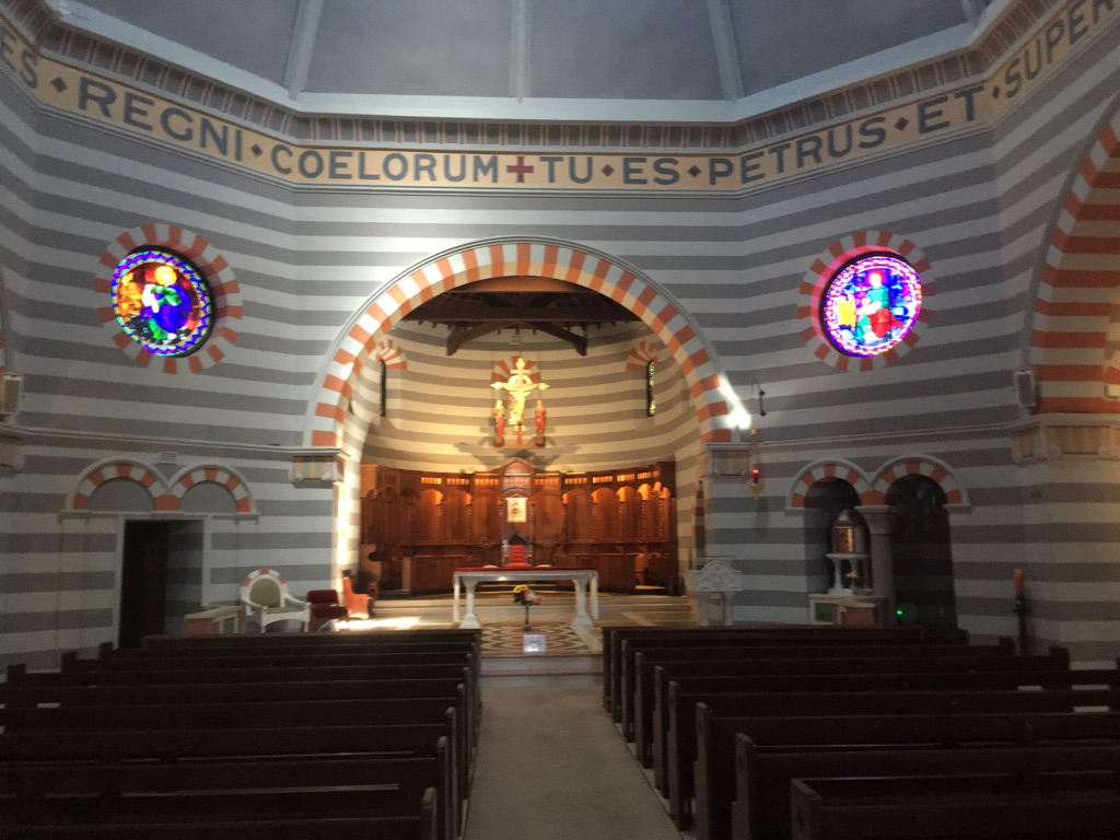
St Francis Xavier Cathedral

St Francis Xavier Cathedral
As written, with Monsignor Hawes and his dog.
Model of Australia’s oldest European built structure (1629)

Fishing on a beach looking out to Point Moore lighthouse
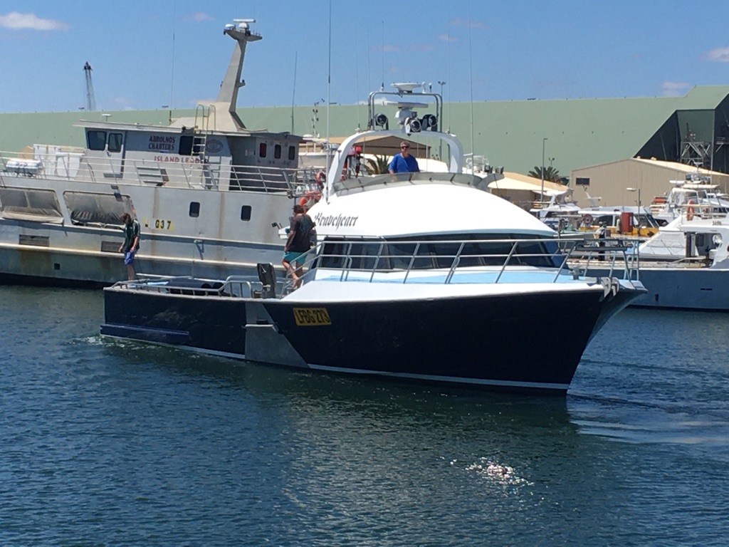
Dropped!
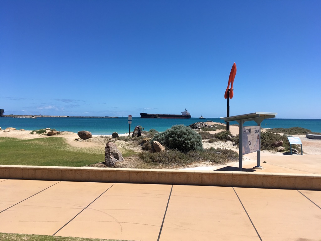
Geraldton Port from the coffee shop
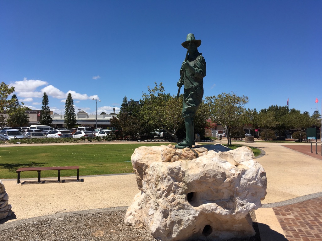
Wiebbe Hayes
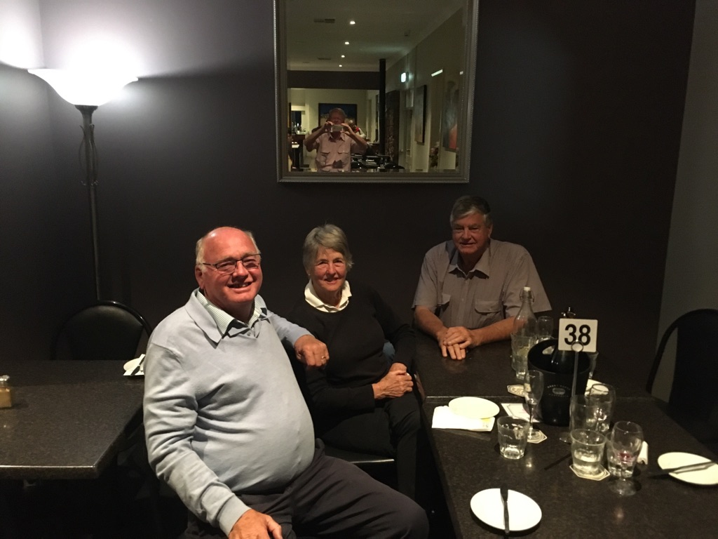
Dinner at the Dongara pub (Ann and her brothers)
![]()
![]()
![]()
![]()
![]()
![]()
OR
Copy the link to @yilgiddie Journo below
We dropped into see Chris (Ann’s youngest brother) and his wife Christine and had a cuppa with them before leaving Dongara.
We drove down the coast road (Indian Ocean Drive) to Perth, stopping at Jurien Bay (prohibited.averages.scored) for a pie. Then stopped briefly at the Wanagarren Nature Reserve (song.fixing.grasslands) which features an area of hundreds of grasstree plants (Xanthorrhoeas) which often survive to 600 years.
We reached Karrinyup caravan park shortly after 4:00pm, found that there were four other Zone caravans there and settled in for the rest of the day.
Total km today: 358
Total cumulative km: 12,351
what3words: beam.likely.tracks
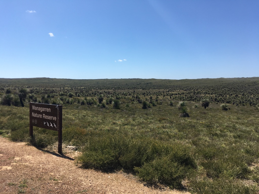
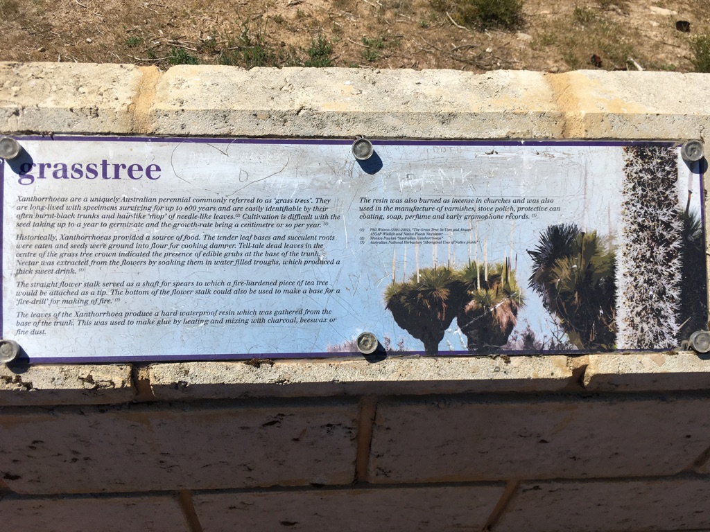
![]()
![]()
![]()
![]()
![]()
![]()
OR
Copy the link to @yilgiddie Journo below
An early start to get to the caravan repairer - yet again!
Then off to get breakfast in North Beach (retail.wisdom.glue). The plan was to get some shopping done, go to a chiropractor (for David’s back - again!), then turn up at the caravan repairer just before midday to drive off east. What actually happened was that a chiropractor was found opposite the breakfast café who was available; then shopping; then to the \240caravan repairer to be told that the HWS (hot water system) was buggered and needed to be replaced - it’s taken since Adelaide - in early June - for someone to identify the real problem. We decided not to get it fixed in Perth as we’d need to wait yet another week to get it fixed and we didn’t want to arrive somewhere in the desert when it was likely to be even hotter. So - a continuation of kettle washes until we get home (although we’re still able to use 240 volt power for the HWS whilst in caravan parks).
We high-tailed it along the Great Eastern Highway and spent $20 for a powered site in Kellerberrin which was far enough from the highway for us not to be bothered by traffic noise through the night.
Total km today: 241
Total cumulative km: 12,592
what3words: saddle.notification.climbing
![]()
![]()
![]()
![]()
![]()
![]()
OR
Copy the link to @yilgiddie Journo below
A much colder night than we’d anticipated but the sun burnt it off fairly quickly and we got on our way to Kalgoorlie, stopping at Southern Cross (fends.lilt.ends) for coffee and a refuel.
Lunch on the run, reaching Kalgoorlie just after 3:00 pm
Total km today: 393
Total cumulative km: 12,985
what3words: impeding.awards.impersonal
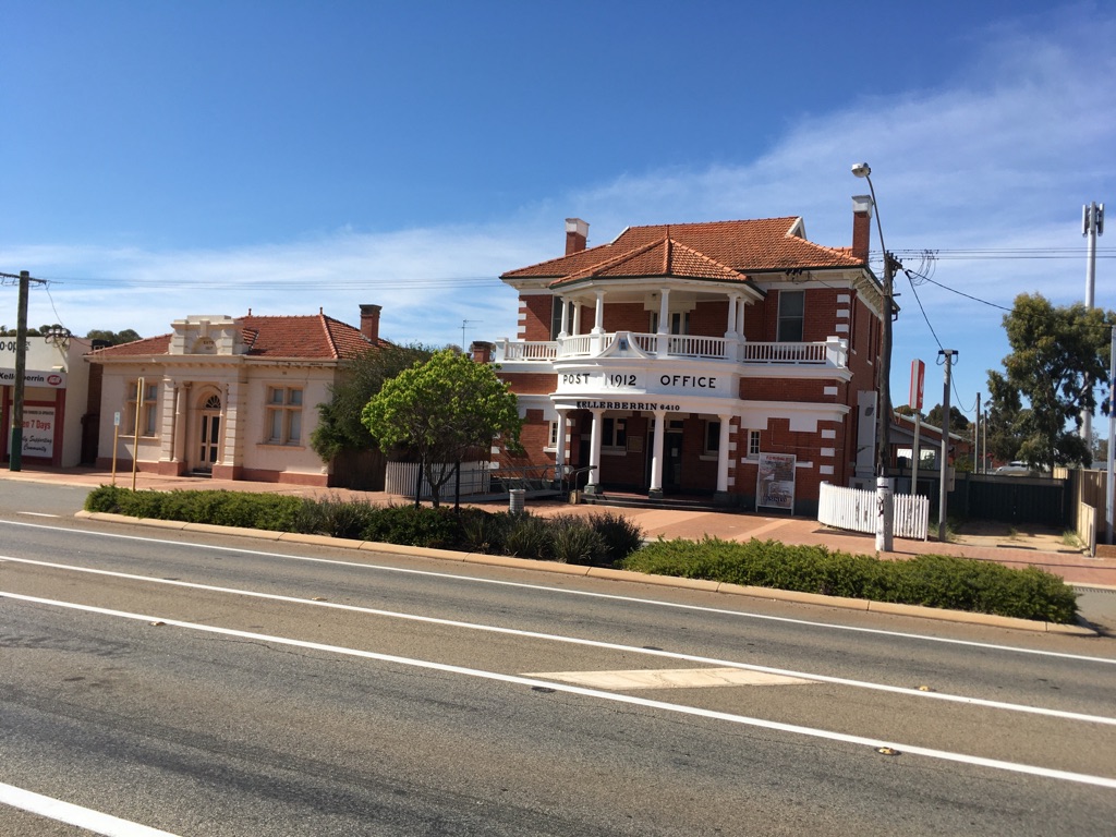
The magnificent Kelleberrin Post Office
![]()
![]()
![]()
![]()
![]()
![]()
OR
Copy the link to @yilgiddie Journo below
A full day in the Goldfields!
Our first business was a tour of the Super Pit (forgotten.freshly.emperor). For those who’ve not been to Kalgoorlie, gold was first discovered in 1893 by Paddy Hannan and two of his mates at Mt Charlotte. It was found on the surface and sparked a gold rush - which subsequently became known as the Golden Mile. Lots more history, but the numerous separate mining operations were amalgamated in 1989 into KCGM (Kalgoorlie Consolidated Gold Mines) which manages the assets and operations of two joint venture partners covering 35,000 hectares of leases and produces between 500,000 and 600,000 ounces of gold annually. This equates to between 14 and 17 tonnes each year. Again, we gleaned lots more information, much of which can be found on the KCGM website.
Time then for a coffee on Hannan Street (keyboard.guarded.analogy), a trip to the Visitor Centre (recoup.crown.fool) and back to the caravan to plan the rest of the few days we’d set aside to visit Kalgoorlie.
We visited the Boulder Town Hall (enacted.acorns.piracy) which boasted a great theatre, a war museum and other interesting things to see.
Then a pub lunch at the York Hotel in Hannan Street (bagels.echo.rocker). This was followed by a visit to the public viewing facility for the Super Pit (obey.cuisine.crabmeat) and, after a hasty cuppa, a tour of one of the few remaining brothels (refusal.messed.vacuum) in Hay Street!
For a bit of background, Kalgoorlie is famous for its gold and its beer and notorious for its brothels - after all, in the early days, miners were away from their wives and girlfriends for months at a time and, before prostitution was considered to be evil, ‘women of the night’ came to their rescue, resulting in a plethora of brothels in town. Questa Casa is now the only original brothel remaining and the tour we took provided us with an overview of their history over the years - and into the present day.
As intimated at the beginning of this post - a full day.....
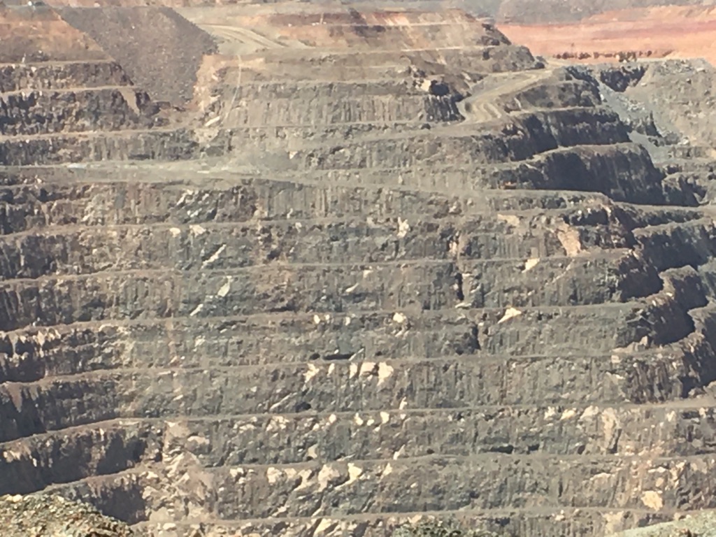
Kalgoorlie Super Pit - layer upon layer of extraction of years
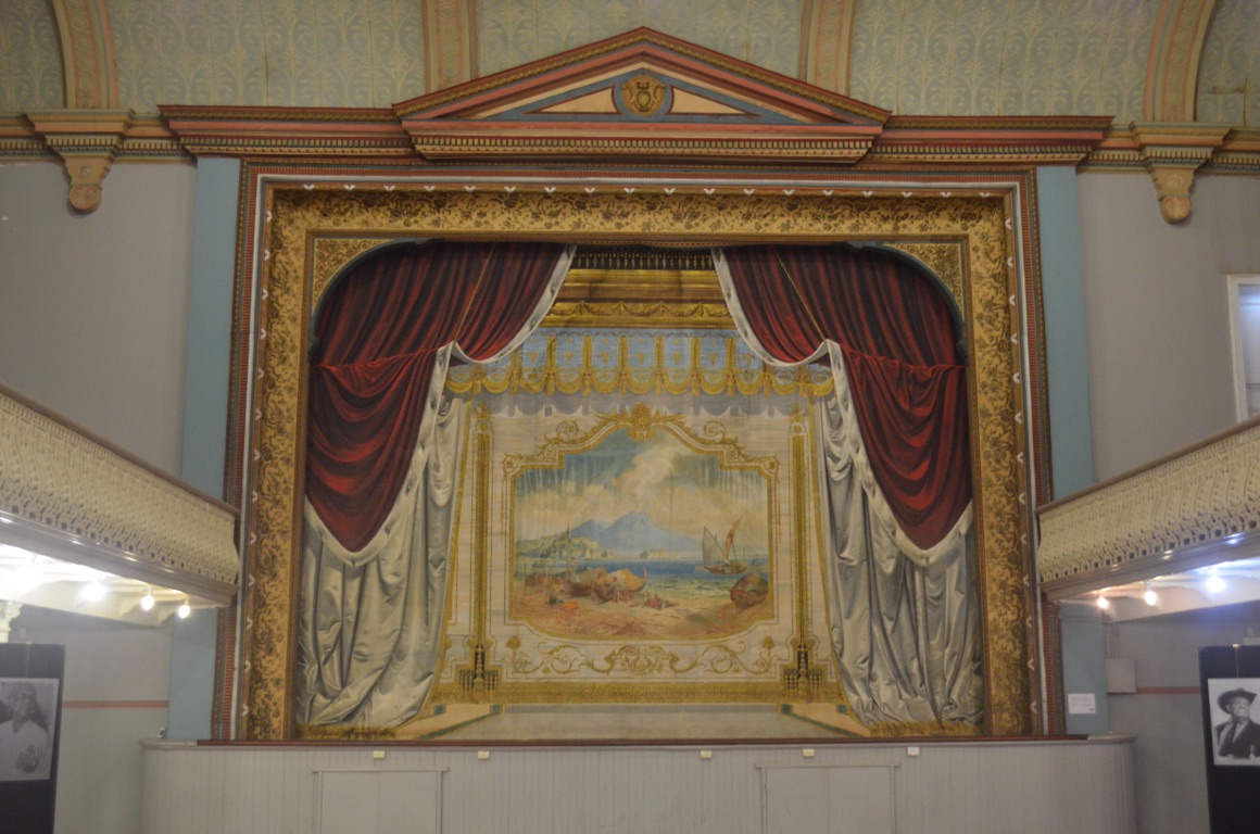
Boulder Town Hall - original stage curtain with trompe-l’œil imagery
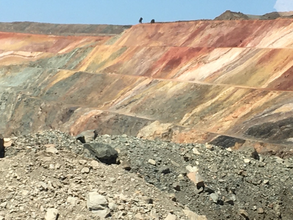
Kalgoorlie Super Pit - extraordinary colours of different rocks and soil types
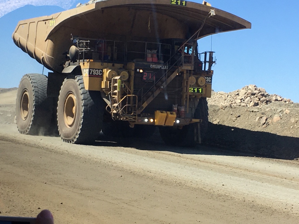
Kalgoorlie Super Pit - haul truck with 225 tonne payload (cost of truck ~ $4 million). Every seventh truck of ore yields 500 grams of gold.
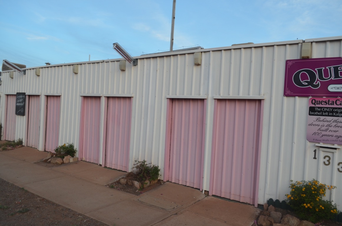
Questa Casa entrances to individual businesses (when the doors are open, prostitutes display their offerings to prospective clients)
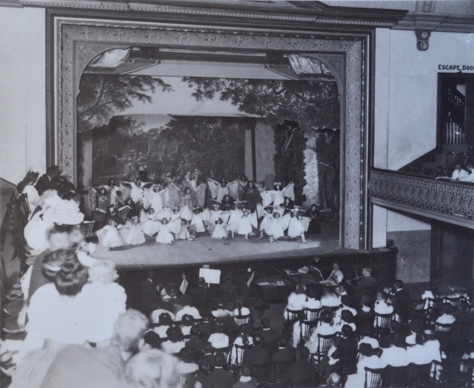
Boulder Town Hall - early performance

Super Pit viewing platform
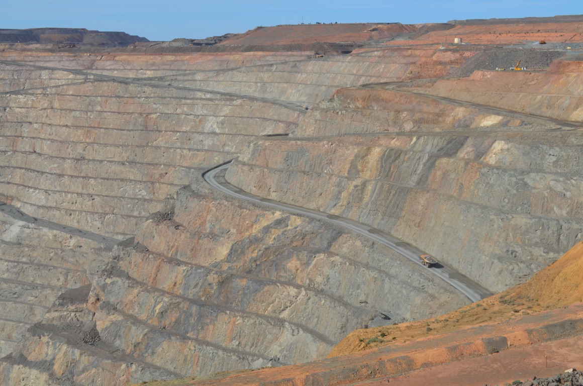
Super Pit viewing platform
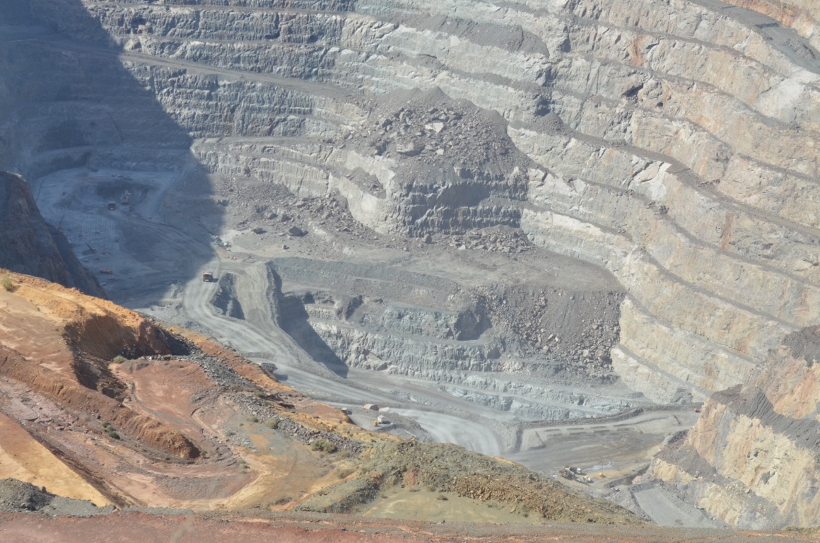
Super Pit viewing platform

Lunch on the balcony at the York Hotel

Super Pit viewing platform
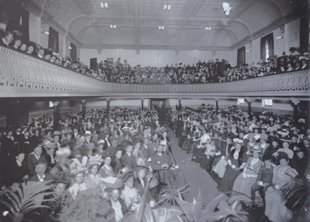
Boulder Town Hall - early performance
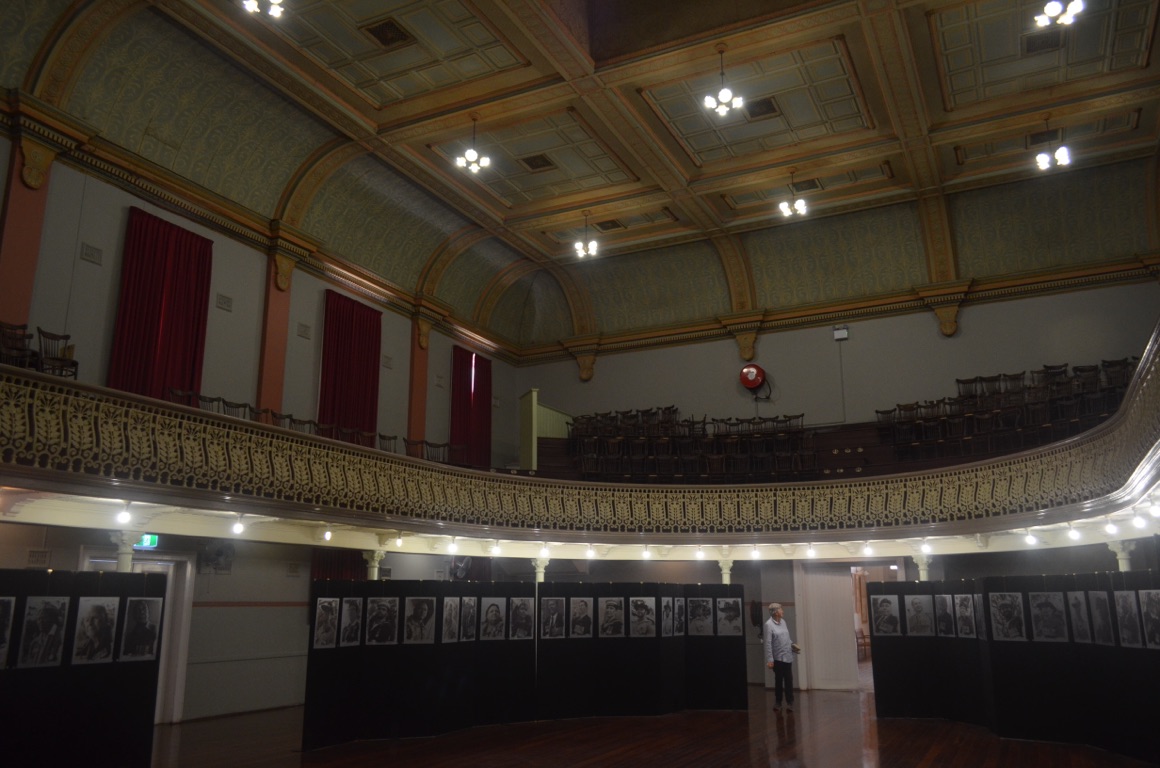
Boulder Town Hall - currently staging an exhibition of Goldfields military veterans
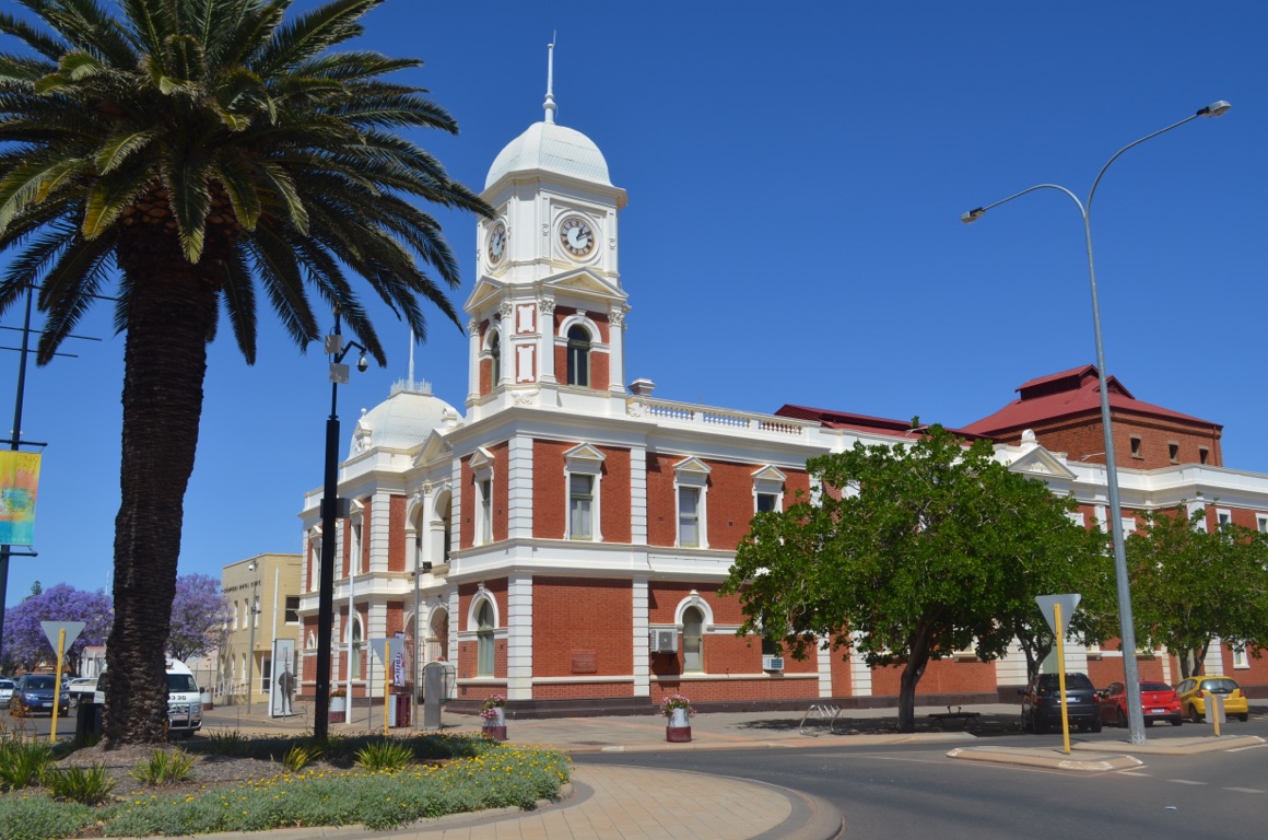
Boulder Town Hall
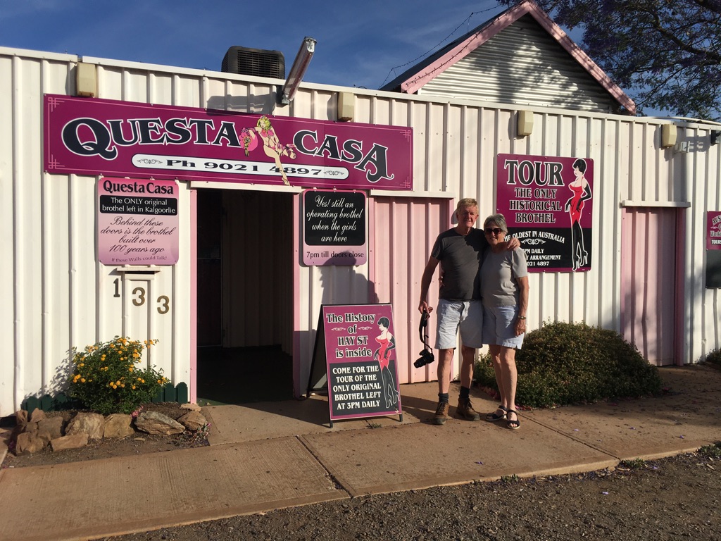
Questa Casa entrance
![]()
![]()
![]()
![]()
![]()
![]()
OR
Copy the link to @yilgiddie Journo below
A quieter day.
We drove to Coolgardie - about 37 km west of Kalgoorlie - and visited the Warden’s Court Building (soybeans.monorail.seesaw) which now houses the Goldfields Exhibition. Lots to see and very interesting.
We then visited Warden Finnerty’s residence (carnation.purrs.clasping) which is now a National Trust building managed by the local Council. The house was built in 1895 for the government of the day for the first Mining Warden and Resident Magistrate, John Finnerty, by Bunning’s Brothers, the company which subsequently became the largest hardware business in Australia.
Then past the Railway Station (famed.glitter.evolve), built in 1896 and closed in \2401979, before having a counter lunch at the Denver City Hotel (healing.count.coasters).
And finally back to Kalgoorlie for a quiet afternoon. And long-distance commiserating with the Wallabies after their loss to England in the Rugby World Cup....
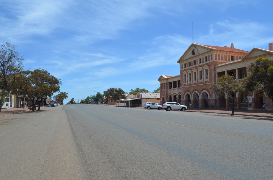
Warden’s Court Buidling
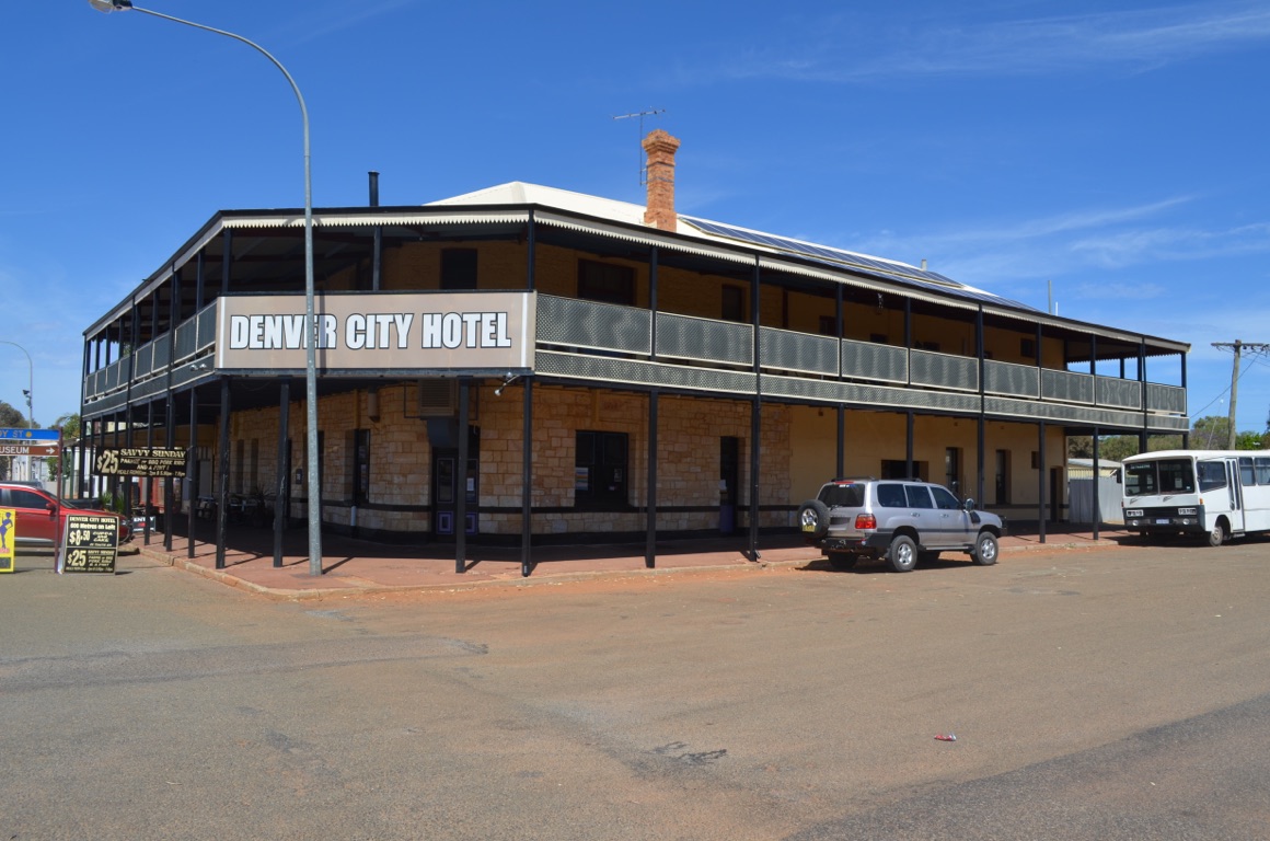
Denver City Hotel
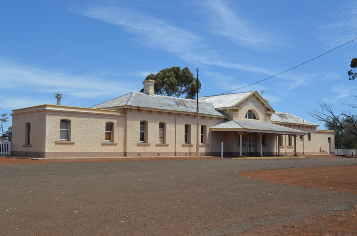
Coolgardie Railway Station
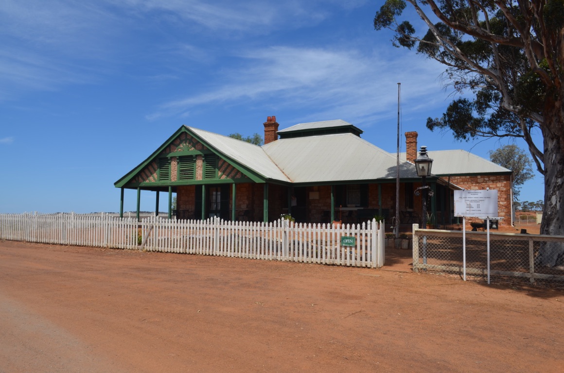
Warden Finnerty’s residence
![]()
![]()
![]()
![]()
![]()
![]()
OR
Copy the link to @yilgiddie Journo below
A beautiful morning, although it felt as if a thunderstorm was brewing.
First stop was the Hannan’s North Tourist Mine (grand.shopping.cake) which had machinery exhibits, miner’s cottages and other mining-related items, as well as a gold pouring demonstration, although of course it wasn’t gold.
Then some final grocery shopping and then off to the Museum of the Goldfields (costs.request.become) to view more mining memorabilia. By this time we had enough of museums and returned to our home in wheels to prepare for our journey tomorrow.
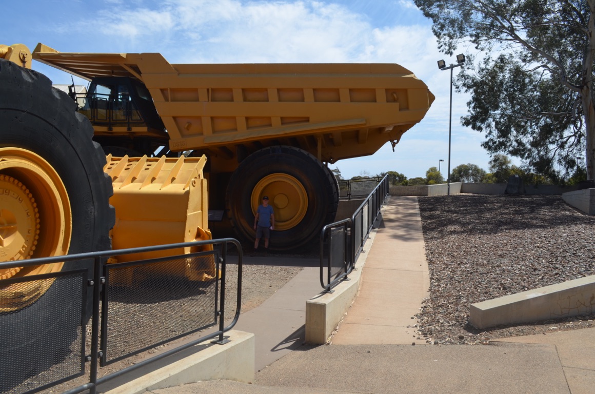
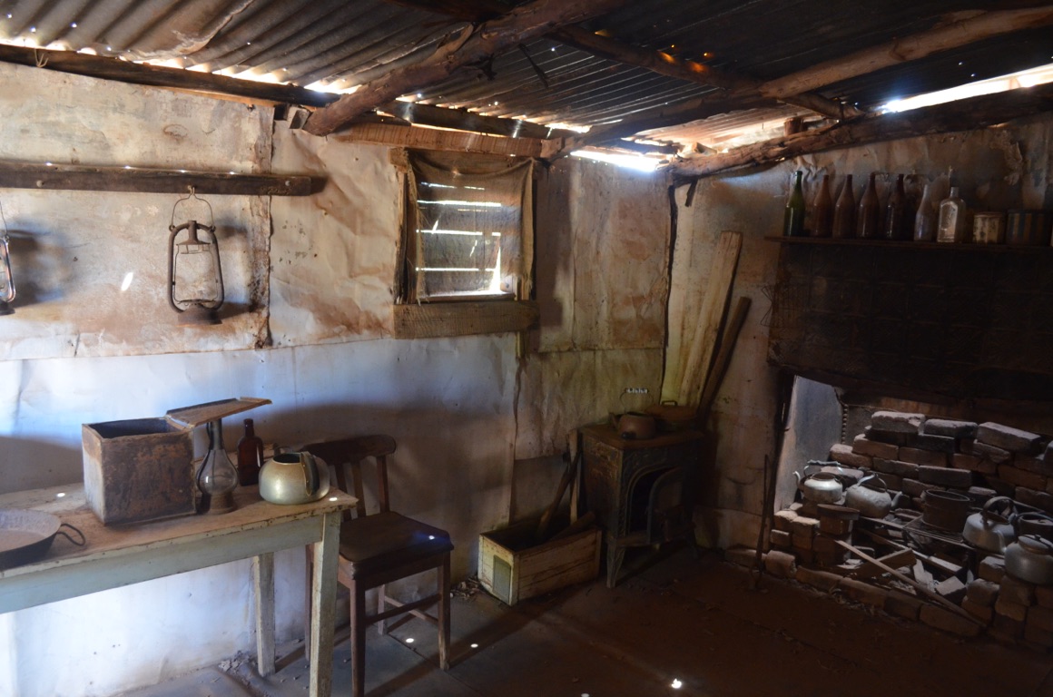
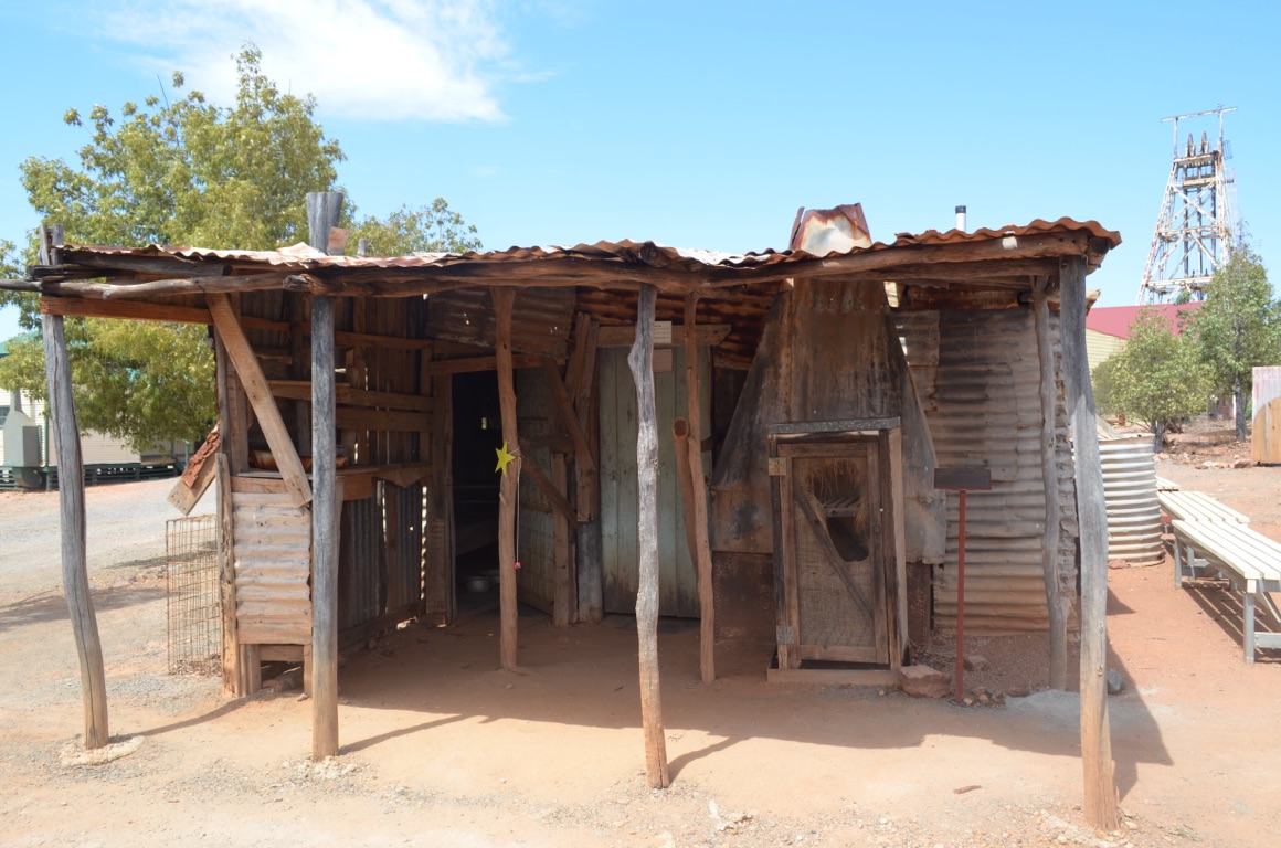
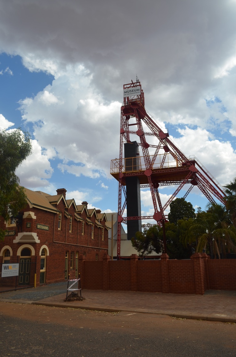
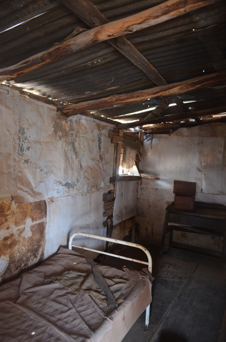
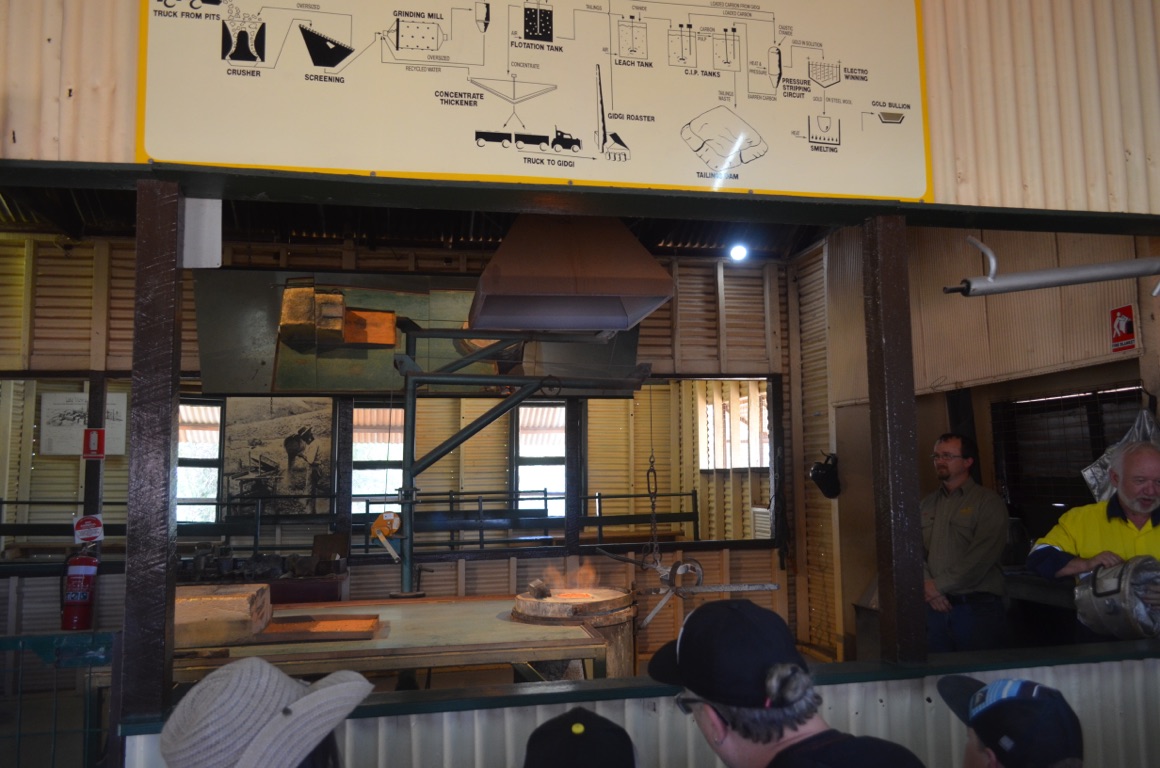
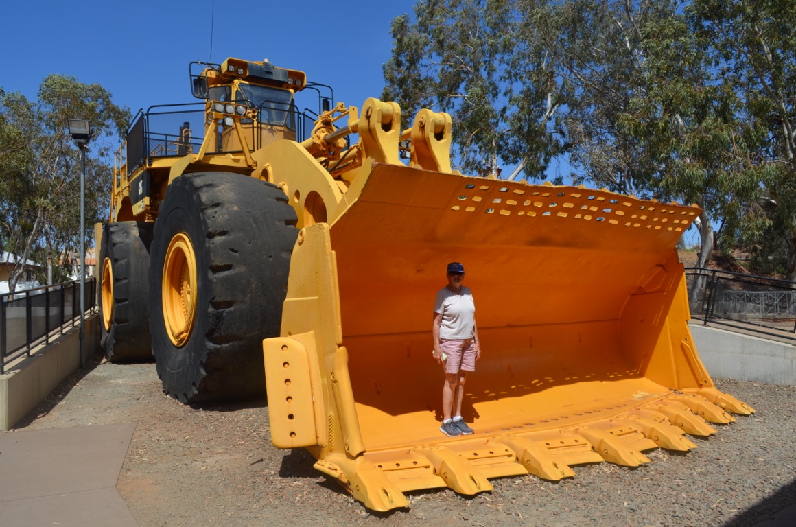
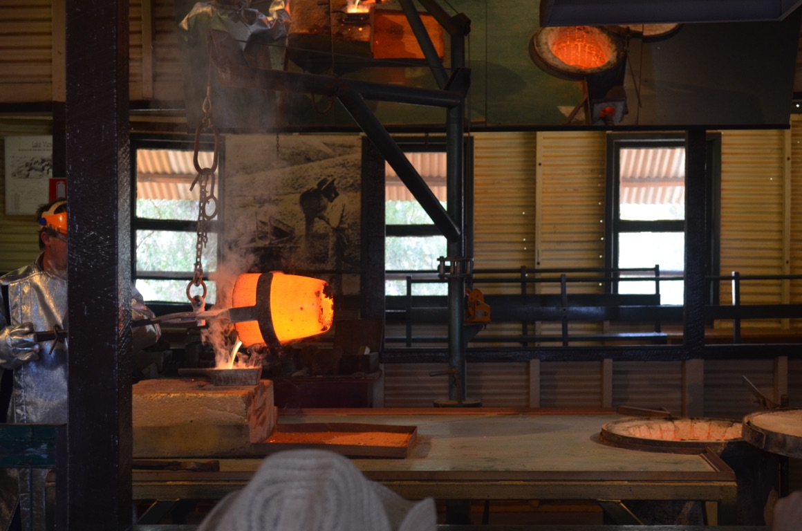
![]()
![]()
![]()
![]()
![]()
![]()
OR
Copy the link to @yilgiddie Journo below
At last, we’re on our way - properly! A few last minute grocery items and a refuel and we were away.
First stop Broad Arrow (grasslands.hawks.spices), a few km up the road, where we had a cool drink and a chat with the locals. Then on to Menzies (stern.temples.raising) for a sandwich lunch and a walk around the town which had been the beneficiary of the ‘Royalties for Regions’ program that was funded by the State Government from mining royalties and directed at WA regions.
Then to Niagara Dam (excelled.headed.tapestries) which was built about 1903. The dam is now empty and is been cleaned out by the local council. Last time they attempted to clean it out, 7 years ago, it buckeyed with rain hours before they began.
Then to Koolkynie (conjures.stored.smoked) - now a ghost town, save the pub which serves as everything else to an almost non-existent community.
Finally to Malcolm Dam where we’re camped for the night - and have the place to ourselves.
Total km today: 271
Total cumulative km: 13,256
what3words: response.sleek.president
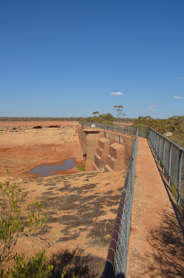
Niagara Dam
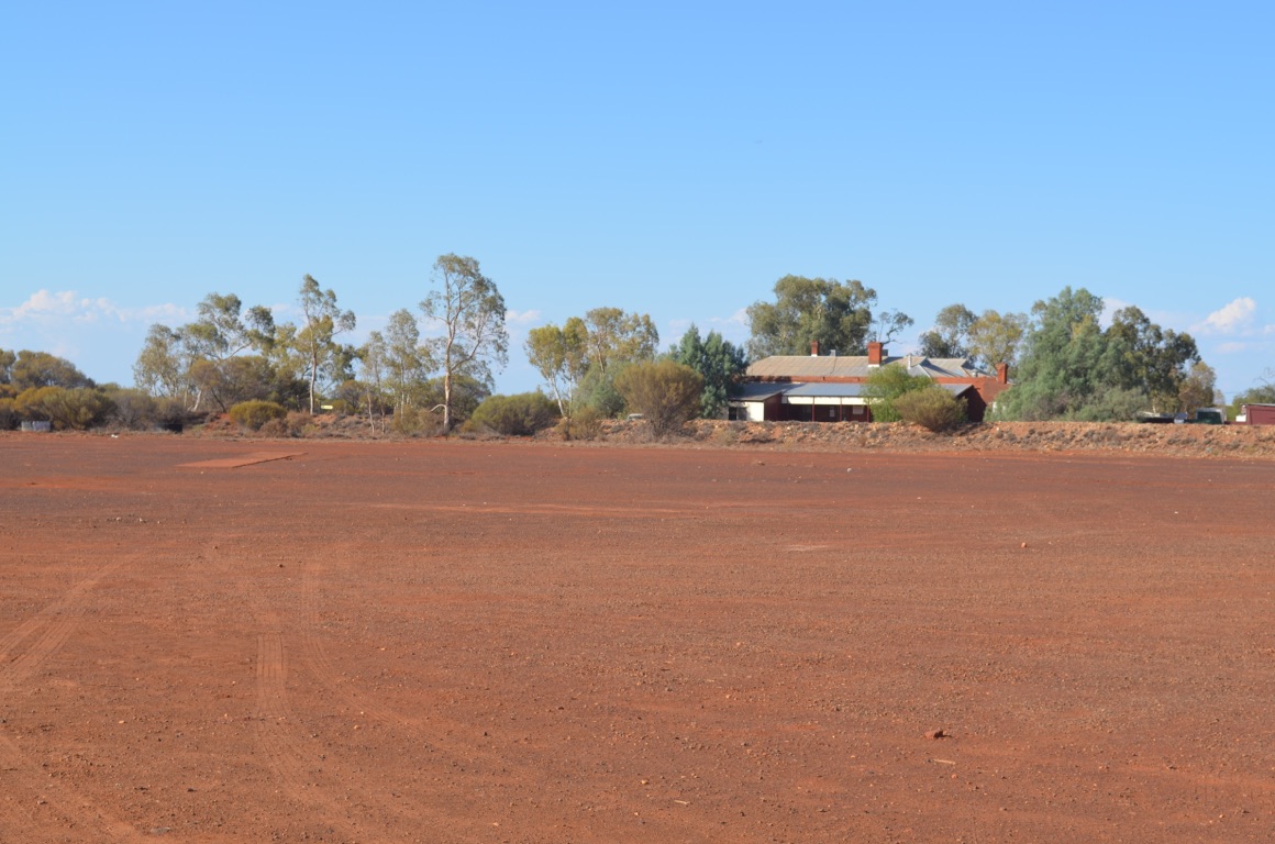
Kookynie - almost the last building standing
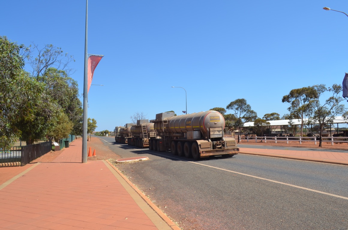
Menzies - truck with four trailers (very common in Outback Australia)
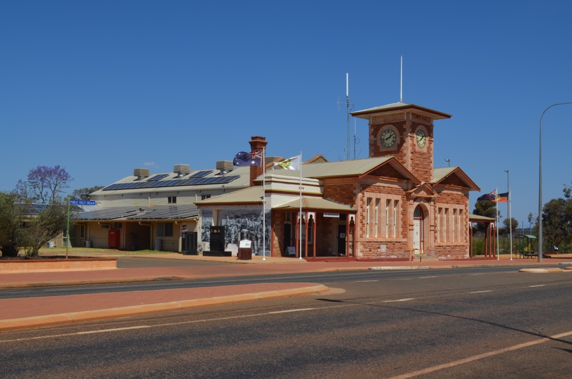
Menzies Council offices
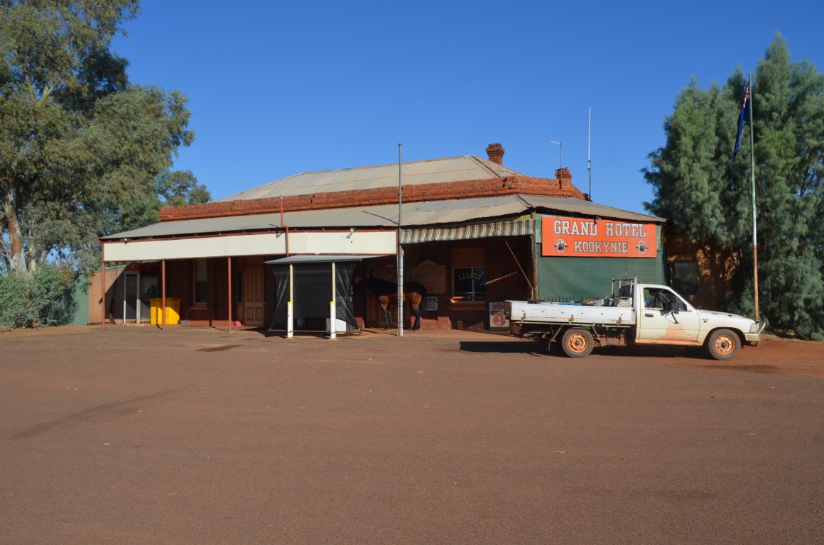
Koolkynie pub - can you see the horse?
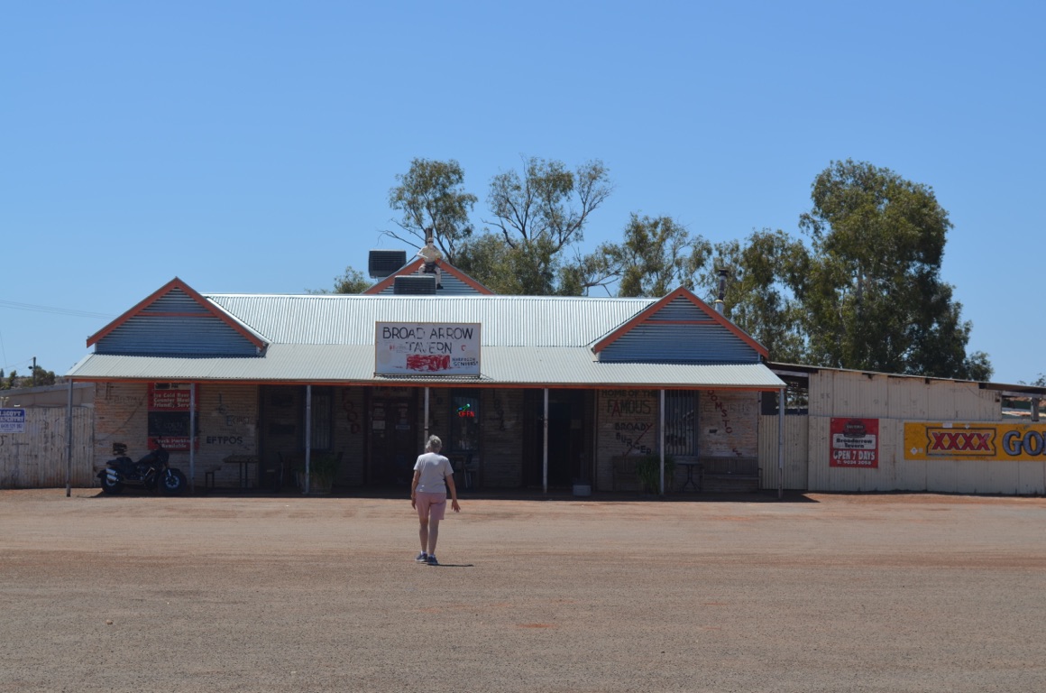
Broad Arrow pub
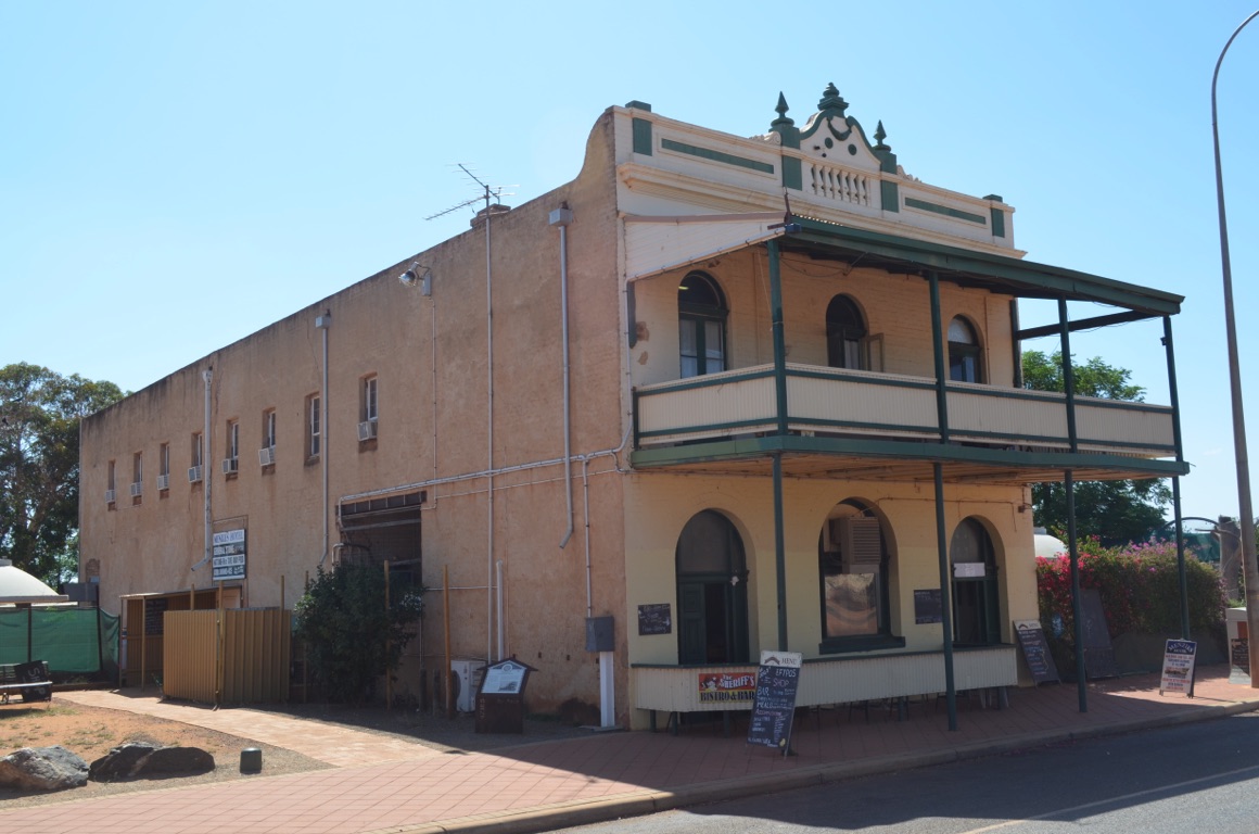
Menzies Hotel
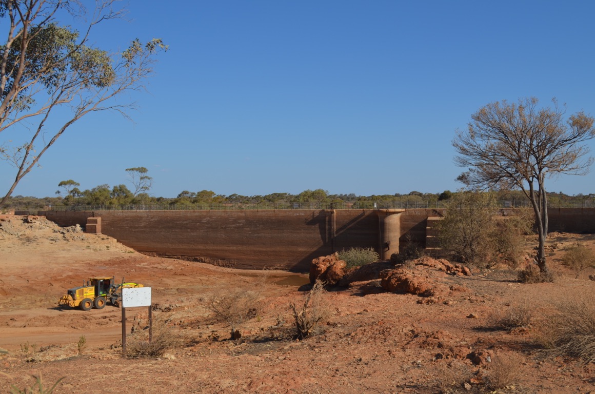
Niagara Dam
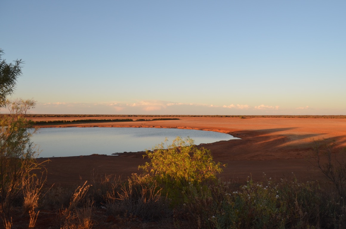
Malcolm Dam - our overnight stop

Niagara Dam
![]()
![]()
![]()
![]()
![]()
![]()
OR
Copy the link to @yilgiddie Journo below
Apart from the flies, Malcolm Dam was a good find for an overnight camp.
First stop was the Sons of Gwalia Mine Precinct (dramas.climber.overkill). The reef was discovered in 1896 by three prospectors and subsequently, seeking investments in the WA Goldfields, Bewick, Moreing & Co - a London based firm - sent a young American mining engineer to Gwalia to evaluate its prospects. That man was Herbert Hoover who was to become the 31st President of the USA. Hoover designed, and had built, the Mine Manager’s House (Hoover House), the Mine Office and the Assay Office. He also designed the angled headframe - the only remaining wooden incline headframe left in the country.
Hoover was appointed Mine Manager in 1898. Over the next few very short years, gold production passed 90,000 ounces and the town population increased to 1,000. However, after profits fell dramatically, the mine closed in 1963 and the town population fell from 1,200 to 40 overnight. In 2005, St Barbara Limited purchased the mine assets and today remains operational.
The State Hotel (mountains.fried.orderly) was the centre of the townsite and was built in 1903 by the State Government to give the town a licensed premise and so minimise the sly-grog trade. It closed very shortly after the mine closed.
We then went up to the Museum (sniff.output.successively) and finally Hubert House (unmasked.drifting.alertness) where we enjoyed a cuppa overlooking the existing minesite. One is now able to stay at the House.
After refuelling we set off for Laverton - about 130 km east. Along the way we passed a number of mine sites, including the entrance to the Murrin Murrin Nickel and Cobalt Mine which is planned to become the largest mine of its type in the world.
The Laverton information centre had some interesting exhibits, but that was probably all that was good about the town....
We decided to stay in the local caravan park, not only to top up with water but also to have the last proper shower before we get to Alice Springs (there are still some indulgences that we allow ourselves).
Total km today: 154
Total cumulative km: 13,410
what3words: eggs.imploded.dial
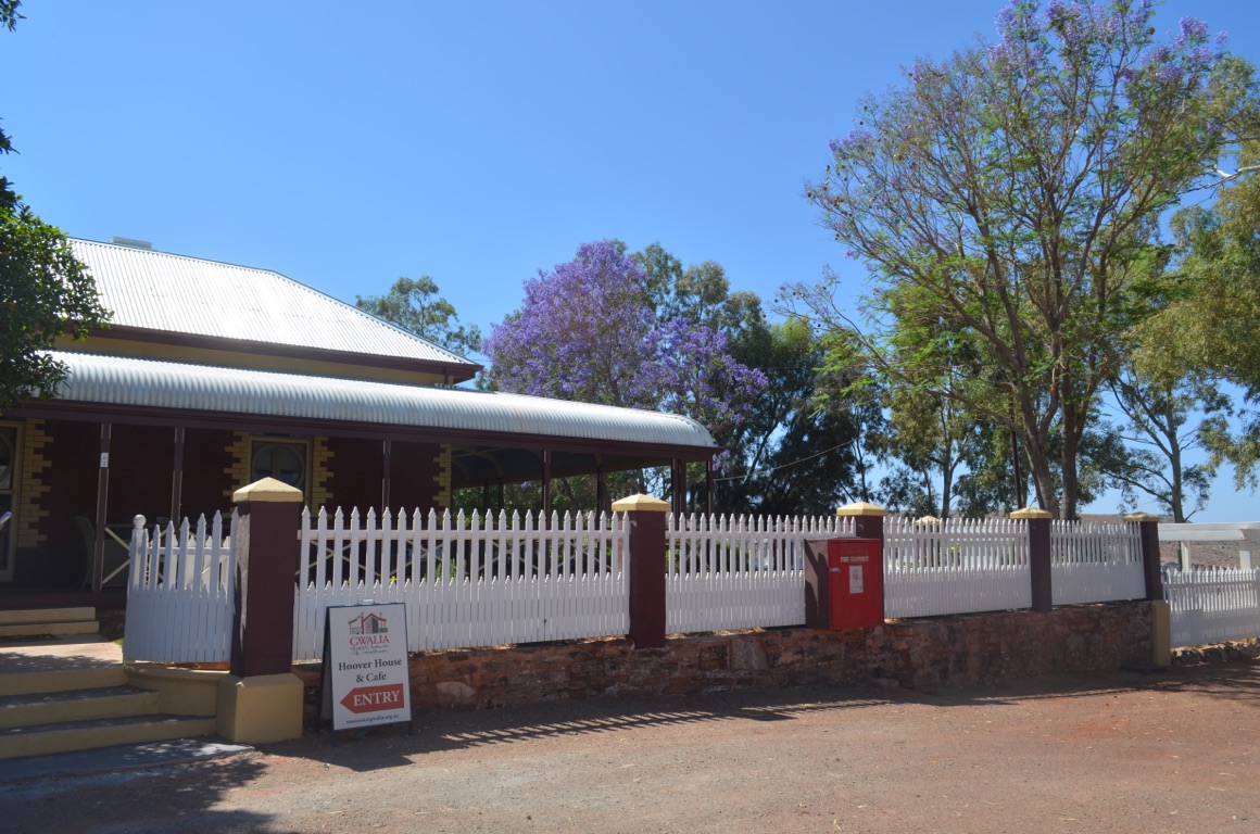
Hoover House
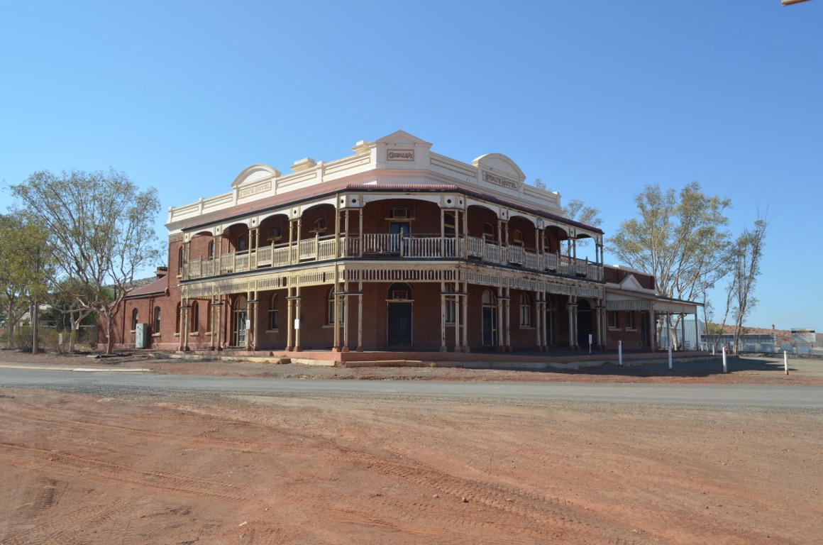
State Hotel at Gwalia
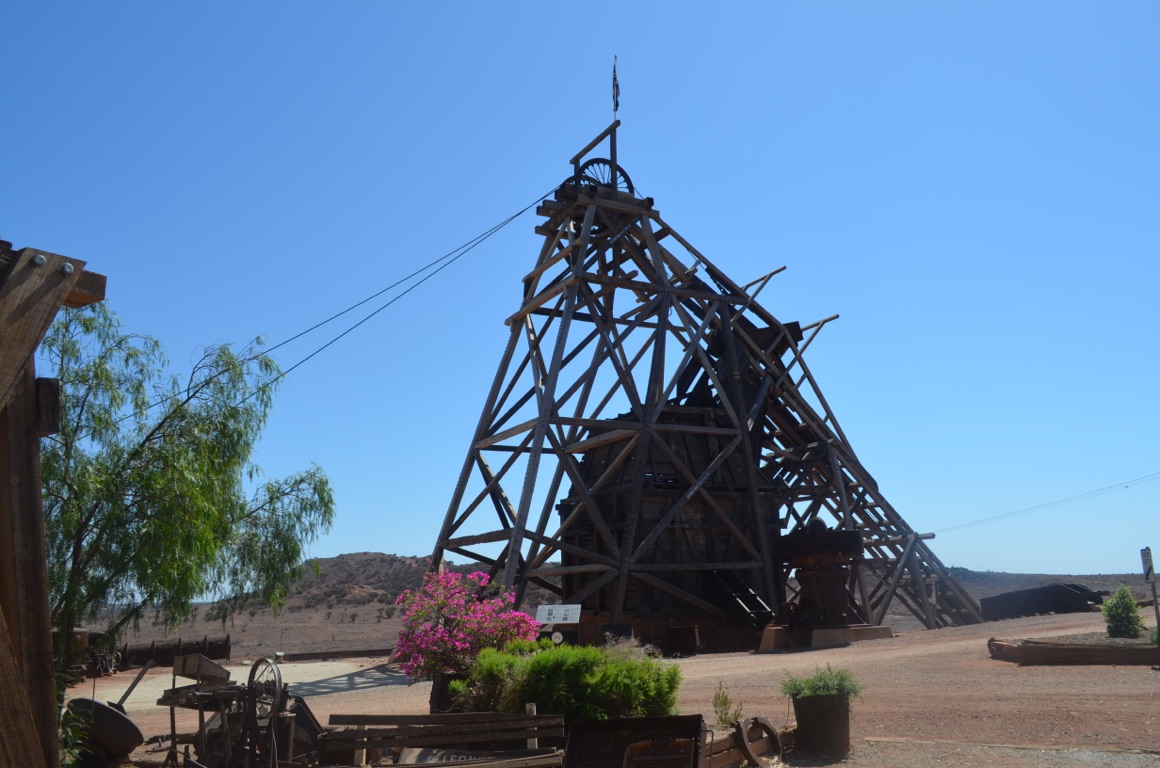
Sons of Gwalia headframe - note the cables to the left which are connected to the winding engine

Part of the Gwalia ghost town
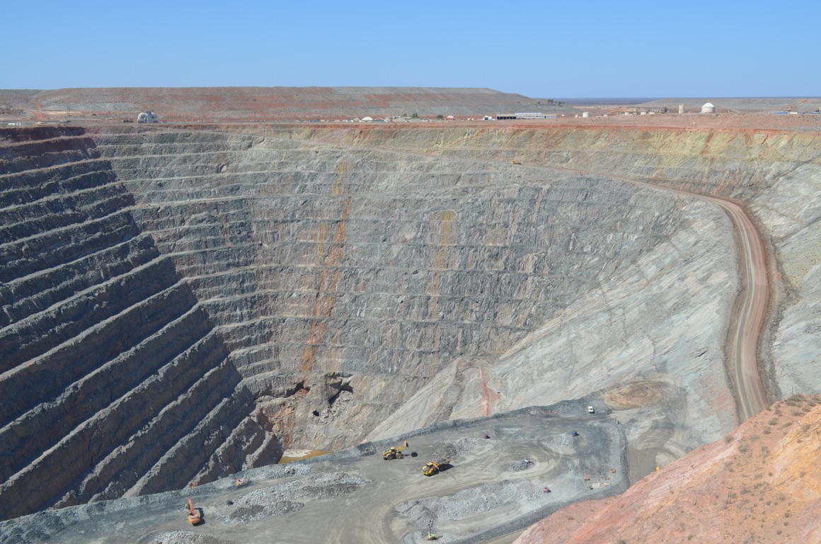
The present St Barbara minesite at Gwalia
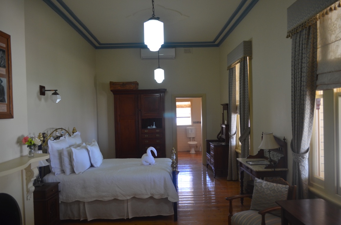
Hoover House

Murrin Murrin minesite entrance - a road train leaving, possibly for Kalgoorlie
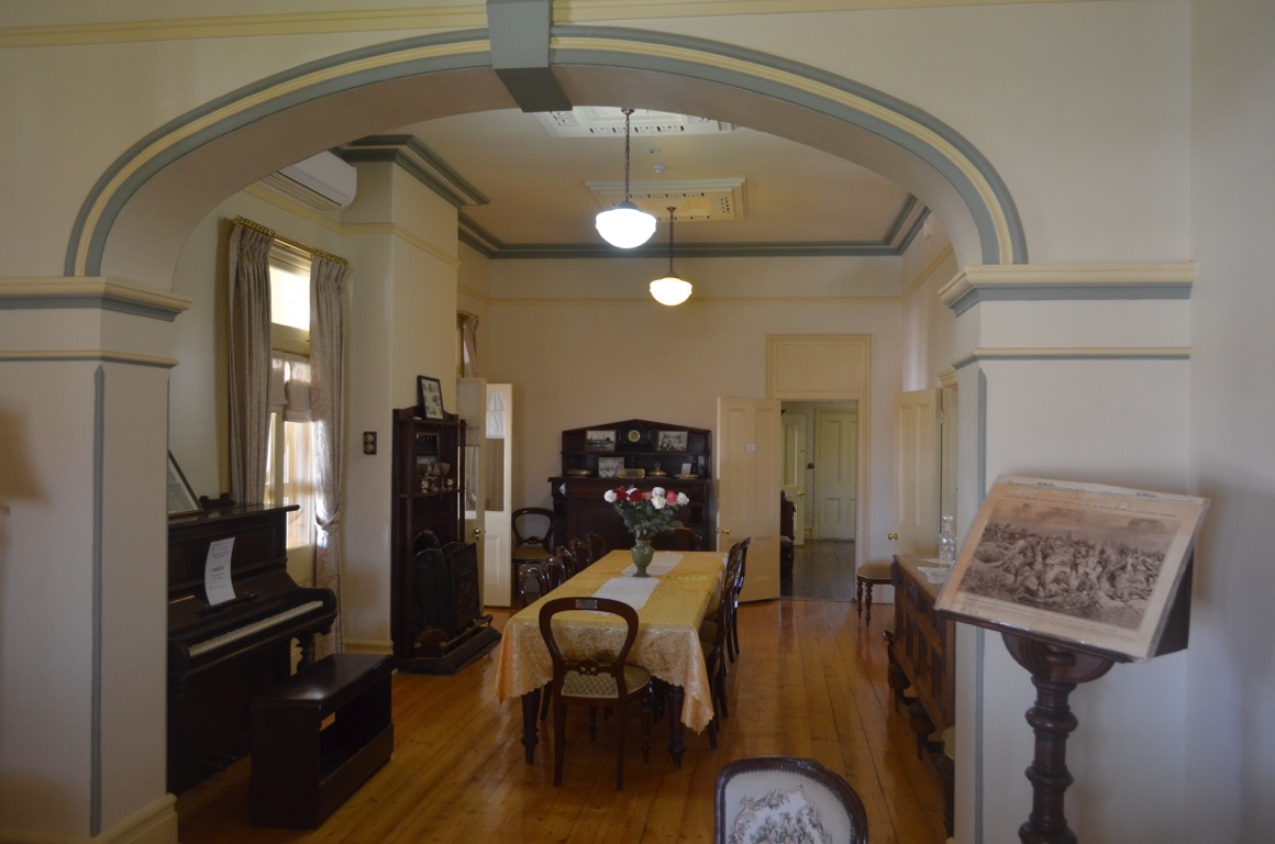
Hoover House

Outside the main Murrin Murrin minesite entrance - note the sign (if it can be read) indicating the start of the Great Central Road
Part of the Gwalia ghost town
Murrin Murrin minesite - note the drill core sample holes
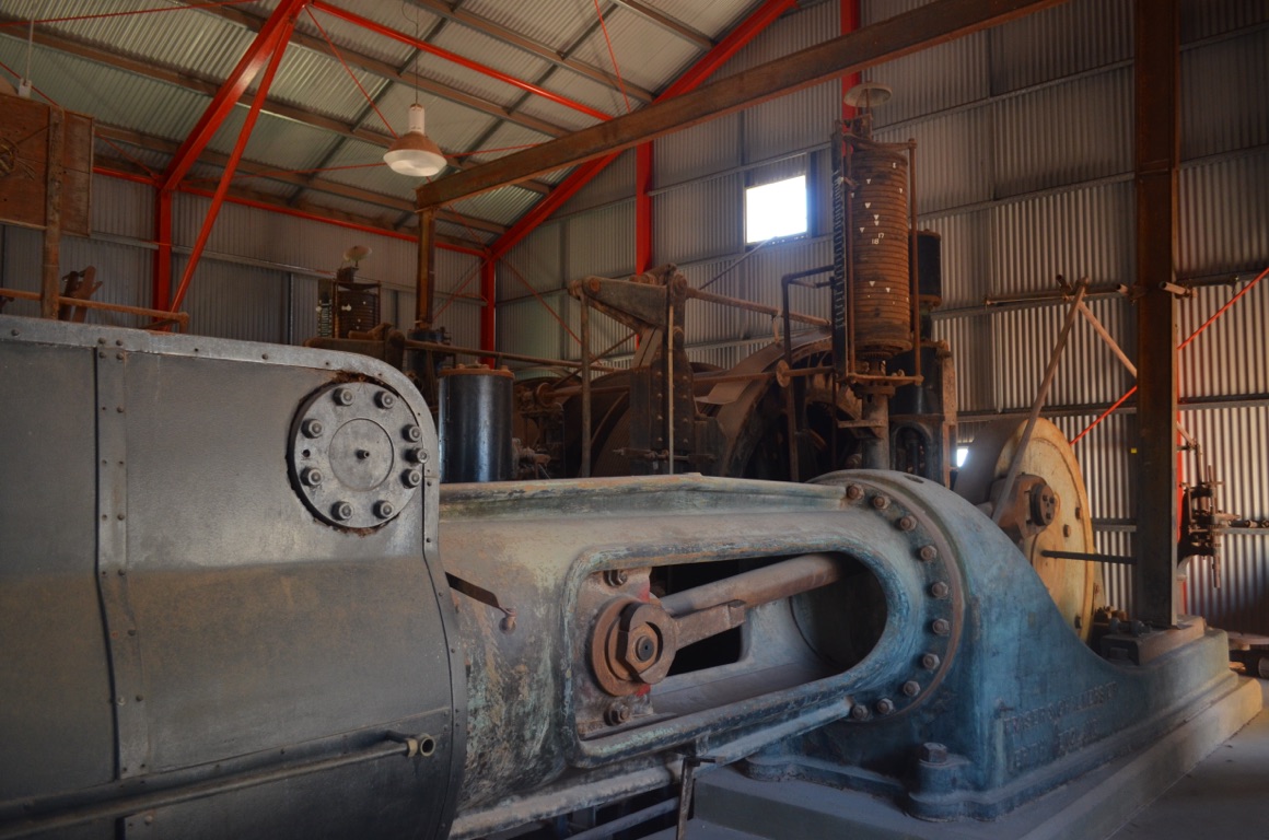
The steam powered winding engine which allowed the cage to be lowered into the pit from the headframe
![]()
![]()
![]()
![]()
![]()
![]()
OR
Copy the link to @yilgiddie Journo below
We left Laverton shortly before 9:00 and headed east.
The day was all about driving!
The road wasn’t too bad, although there were heavy corrugations here and there - in places much the same as the worst we encountered along the Savannah Way last year. But, on the whole, a relatively good road. We stopped for a morning cuppa (actually, it was iced coffee!), lunch and a refuel at Tjukayirla Roadhouse (migranes.interaction.floats).
Then on for about 70km or so to our overnight camp. We actually enjoyed a storm and some rain - but only enough to settle some of the dust.
It seems this won’t be published until we arrive in an area which has internet - we may need to wait for a few days yet....
Total km today: 400
Total cumulative km: 13,810
what3words: expiration.purifying.carpeting
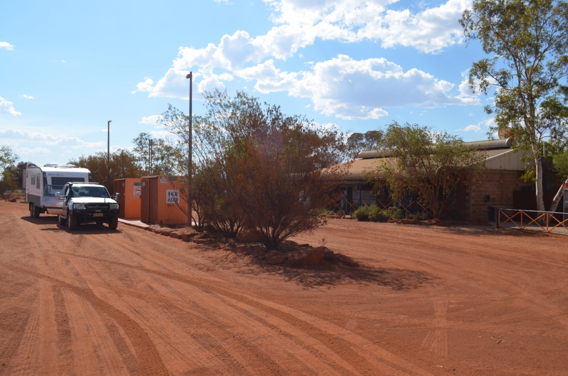
Tjukayirla roadhouse
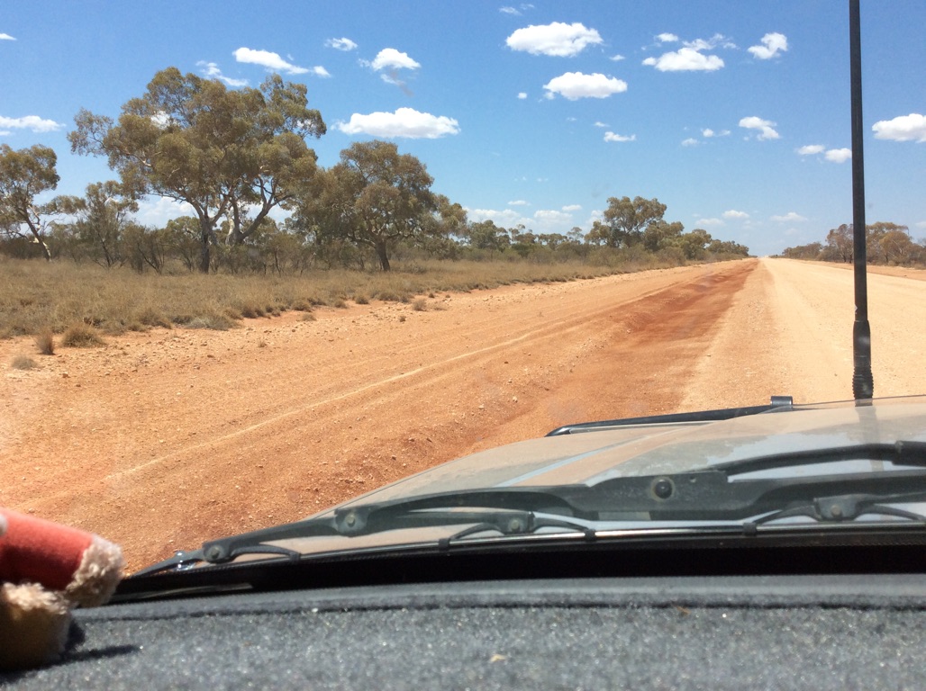
Vegetation varies along the road and the soil colour changes too, but the road itself is much the same
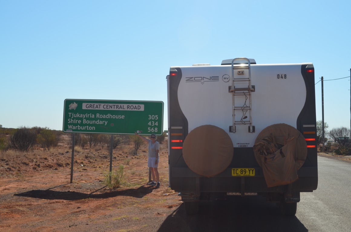
Here’s where it all starts - just outside Laverton
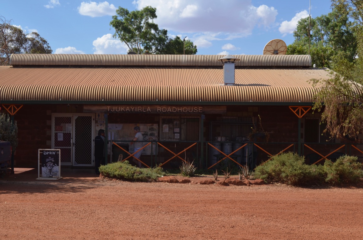
Tjukayirla roadhouse
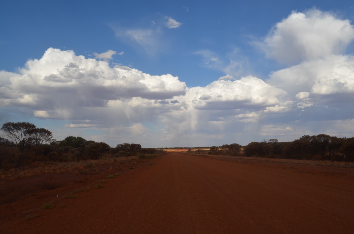
A great sky along the way - which subsequently provided us with a (very) few drops of rain
![]()
![]()
![]()
![]()
![]()
![]()
OR
Copy the link to @yilgiddie Journo below
A hot night which produced a brief storm with high winds that severely rocked the caravan (which prompted me - in my underpants, as it was raining as well) to deploy the four corner stays of the van before it took off. However, it only lasted only 20 minutes or so....
We got going quite early and headed for Warburton (unintentional.meaningless.productions) which is predominantly an Aboriginal community - apart from the Roadhouse and an Art Gallery (regular.beats.accompanying).
Those who have visited an Aboriginal community in the bush will know that they’re not pretty sights. Despite billions of dollars of taxpayers’ money being given to them, they choose to live in squalor and spend our money on alcohol, cars and whatever else they can get their hands on (including stealing from tourists). The problem seems to have started at much the same time as when wages for work on the land, willingly offered by farmers and graziers, was increased for everyone as a consequence of Trade Union demands and it became too expensive to employ the same number of people. And so, Aboriginal workers, who were widely known for their hard work and skills, lost their jobs and their dignity. The quality of their lives and those of their families deteriorated significantly and over the years, various governments, in their collective wisdom, elected to provide money to them instead.
Perhaps these comments are too much of a generalisation, nevertheless, the problem is huge and not likely to be solved in the short term.
We visited the Aboriginal Art Gallery and viewed a number of works which had been painted locally.
Then, after a quick lunch, we continued our journey.
The road between Tjukayirla and Warburton was really quite good and had a few kilometers of sealed bitumen. However, beyond Warburton the road deteriorated quite noticeably and fuel consumption increased markedly.
We found a free camp beside the road and settled down for the night several kilometres from Warakurna.
Total km today: 329
Total cumulative km: 14,139
what3words: constrain.fuss.flunking
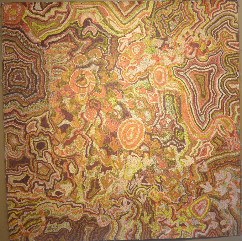
One of the paintings at The Tjulyuru Art Gallery
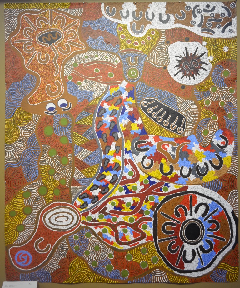
One of the paintings at The Tjulyuru Art Gallery
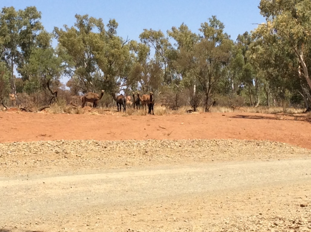
More camels
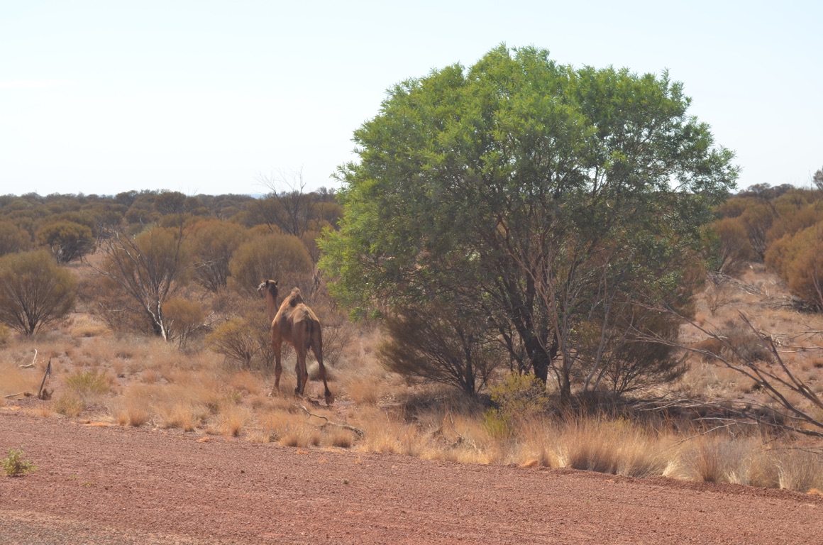
Our first sighting of a camel near Warburton - we subsequently saw several herds during the afternoon
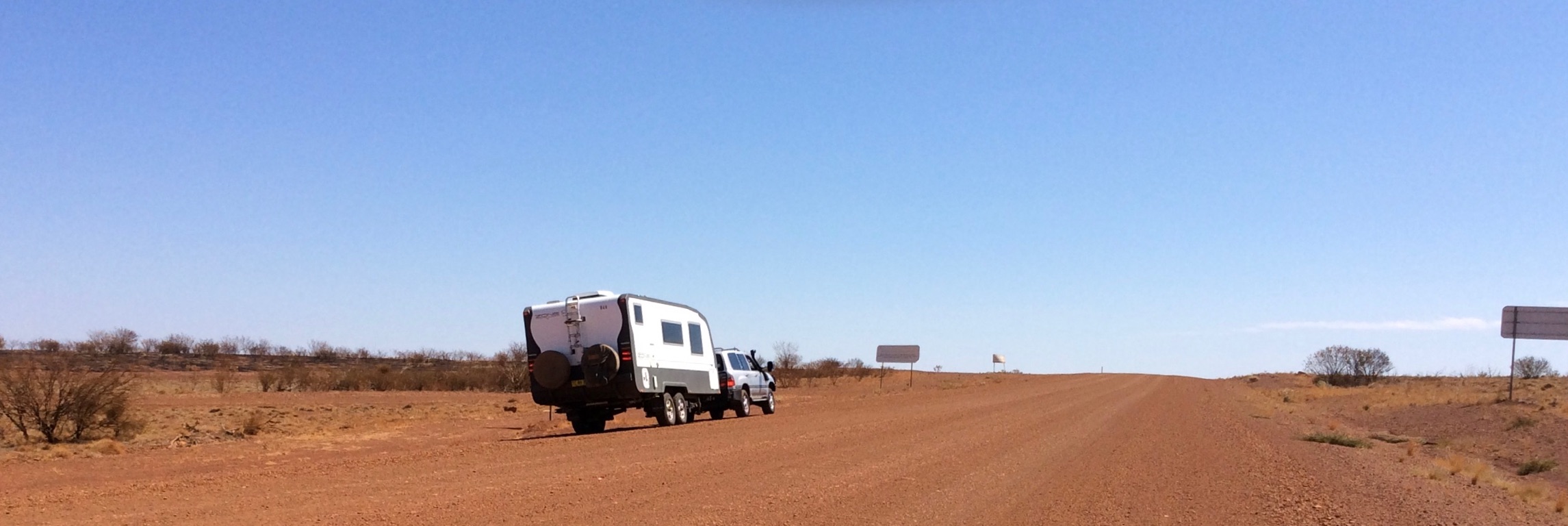
Somewhere along the road.....
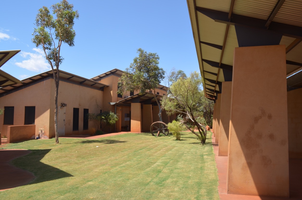
The Tjulyuru Art Gallery at Warburton
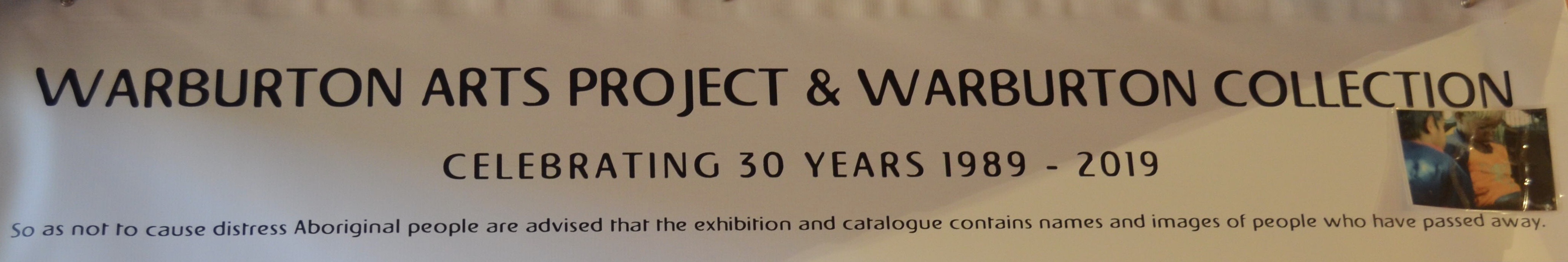
![]()
![]()
![]()
![]()
![]()
![]()
OR
Copy the link to @yilgiddie Journo below
Today was a later start as we had planned a shorter trip, leaving the Docker River (Western Australia/Northern Territory border) to Yulara section of ~250 km until tomorrow as it’s been described as the very worst part of the entire road.
Refuel at Warakurna (serviced.tolerates.bunkers) and then a kilometre up the road to the Giles Weather Station (viper.task.livery).
The weather station was selected by Len Beadell and established in 1956 by the Department of Defence in order to provide meteorological data for the UK atomic weapons tests at Emu Plains and Maralinga and also to support for the rocket testing program based at Woomera. The station was transferred to the Department of Meteorology in 1972 and is the only staffed weather station in Australia and covers an area of about 2.5 million square kilometres. Meteorological balloons are released twice daily from the station.
The station is named after Ernest Giles who was born in Bristol, England in 1835 and died in 1897. Giles’ expeditions were focused on exploring west from the recently completed overland telegraph line from Adelaide to Darwin. He attempted this several times and on one occasion was held up close to what is now the weather station for two months recovering from sickness. One of his expedition team members was Gibson who was lost whilst exploring an area west of the Rawlinson Range - the Gibson Desert is named after him.
After a cuppa, we headed off towards Docker River. However, we had heard that there was a campsite a few kilometres short of the border so we stopped there for lunch and subsequently decided to stay there for the night. The location was full of awe (the word ‘awesome’ has lost its true meaning in recent years and so I don’t use it anymore) and ideal for our purpose.
The roads today were not at all good - all dirt (as opposed to gravel) and corrugations that would make a fantastic milkshake at the drop of hat.
Total km today: 129
Total cumulative km: 14,268
what3words: cooking.optimists.octaves
Are you able to see the size of the camel pad alongside Ann’s foot?
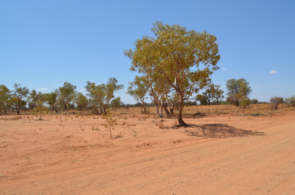
A eucalypt (perhaps a Ghost Gum?) beside Giles Creek near the Kathleen Range
Part of the remains of a Blue Streak rocket found near Giles after being fired from Woomera
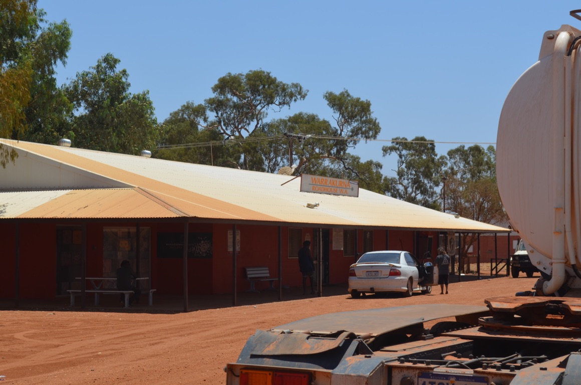
Warakurna Roadhouse
A gnamma hole (we stayed at The Gnamma Holes last night) - an Aboriginal term for a hole within which they were able to find water
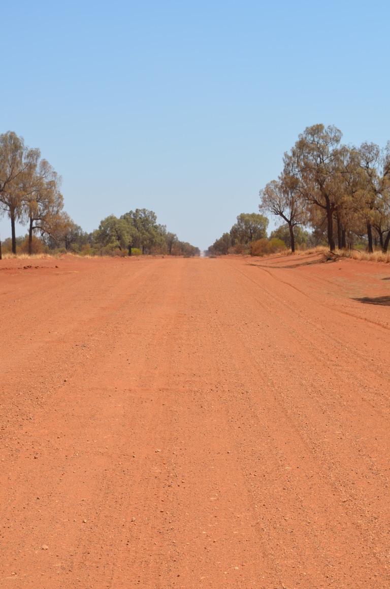
A Black Oak tree avenue - despite being called oak trees, they are actually casuarinas.
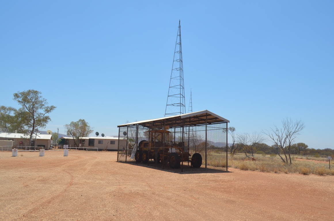
Outside Giles Weather Station is the grader used by Len Beadell’s team when he established so many desert roads, mainly in the 1960’s (for example, the Gunbarrel Highway, Connie Sue Highway, etc)
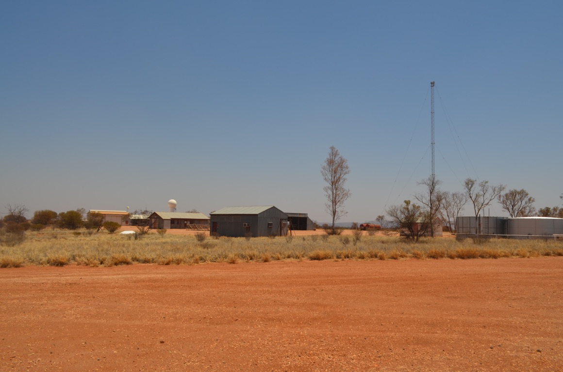
Giles Weather Station
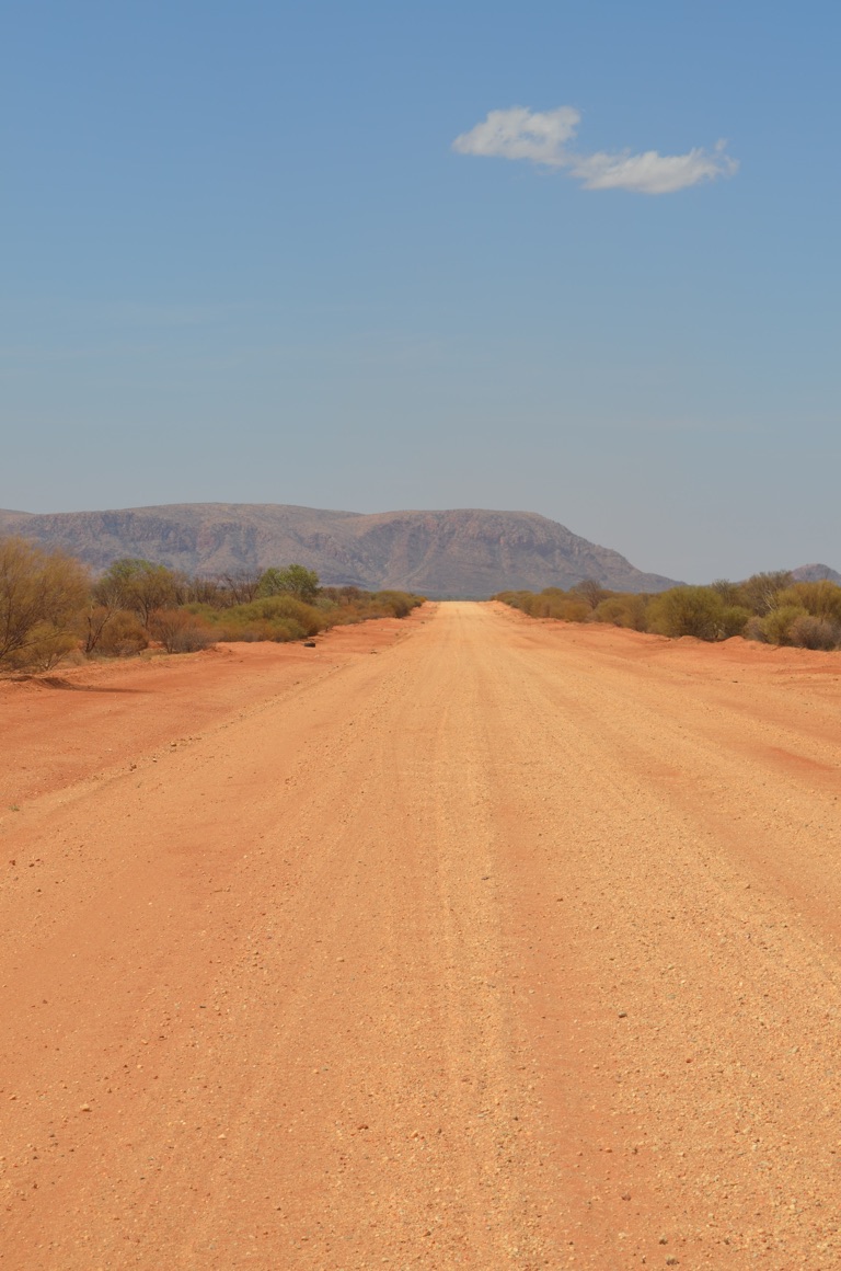
Travelling towards our evening destination, looking at the MacMeikan Range
![]()
![]()
![]()
![]()
![]()
![]()
OR
Copy the link to @yilgiddie Journo below
A full day today with what’s been described as the worst part of the Great Central Road ahead of us. In addition, as we prepare to enter the Northern Territory, our clocks change as well, so that we lose 1 ½ hours.
We decided to make a move shortly after sunset and have breakfast once we arrived at Docker River. Prior to that, we stopped briefly at one of Len Beadell’s markers which had been placed within a blaze cut into a Ghost Gum. The original plaque has been placed in safe-keeping at the Giles Weather Station and a replica had been made in recent years.
Shortly afterwards, we crossed into the Northern Territory and were greeted with 13 km of sealed road! Docker River was a few short kilometres along the road. Fortunately there was a camp site just west of the community and we had breakfast there - bacon, eggs and tomato!
Docker River roadhouse (witness.purchase.saxaphone) is located in the middle of the community and can only be described as a shambles. Car wrecks, litter and refuse everywhere one looks, scruffy children and mangy dogs, brand new Toyota Landcruisers and black fellas wandering aimlessly around. We left just as soon as I’d negotiated the shop in which the fuel bill had to be paid ($2.60 per litre).
We then rocked onto the dirt road again and were happy to stop for a cuppa at Lasseter’s Cave (ambitious.sunk.dealings). Lasseter claimed to have found gold in the West MacDonnell Ranges and subsequently established an expedition to return, however, it could not be found despite several attempts. Lasseter was described as an eccentric and those with whom he spent time figured that his supposed gold find, subsequently known as Lasseter’s Reef, was simply a myth. Lasseter’s camels took off with all his supplies towards the end and he took shelter in a cave before attempting the 140km walk to the Olga’s - which he never reached.
The Olga’s came into view towards the end of our journey towards Ayers Rock and then Ayers Rock itself appeared on the horizon. Both spectacular, but, if I had to choose, the Olga’s were the most remarkable and majestic.
All of a sudden, we were in ‘civilisation’ again - sealed roads, clean, shiny cars and 4 wheel drives which looked as if they’d not even touched any red dirt. As Ayers Rock and the Olga’s fall within a National Park, there was no option but to stay in a caravan park ($67 for a powered site......)
The section of road from Docker River to Ayers Rock was as expected. About 200 km of heavily corrugated road, sand dunes, some steep drop-offs and generally an extremely uncomfortable ride. However, both vehicle and caravan made it without difficulty with appropriately deflated tyres and careful driving.
Importantly, the scenery along the Great Central Road from Laverton to Ayers Rock is, quite simply, majestic. There were very few tourists travelling the road - most vehicles we passed seemed to belong to the local Aboriginal communities, the odd supply truck (mainly fuel and, presumably, general stores) and a few government utes.
Although Ayers Rock is, has been and always will be, a huge attraction, Yulara, which is a few kilometres north of the Rock, is awful. Anyone who has not been to Ayers Rock should go but should elect to stay in the best accommodation they can afford, use the tours offered by the hotel and stay away from the rest of the place. Yulara was a huge disappointment.
Total km today: 289
Total cumulative km: 14,557
what3words: grandiose.promoters.shots
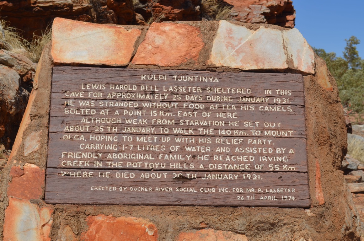
Lasseter’s Cave
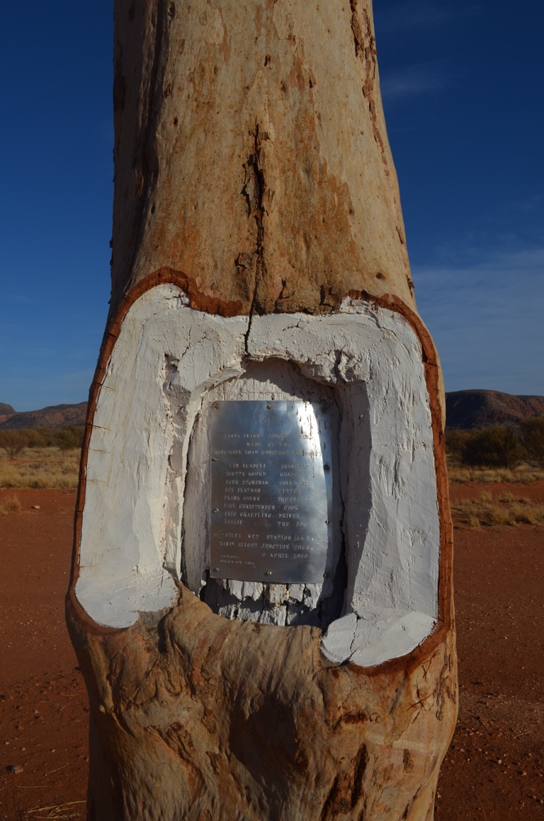
One of Len Beadell’s markers along one of the many roads he surveyed and established
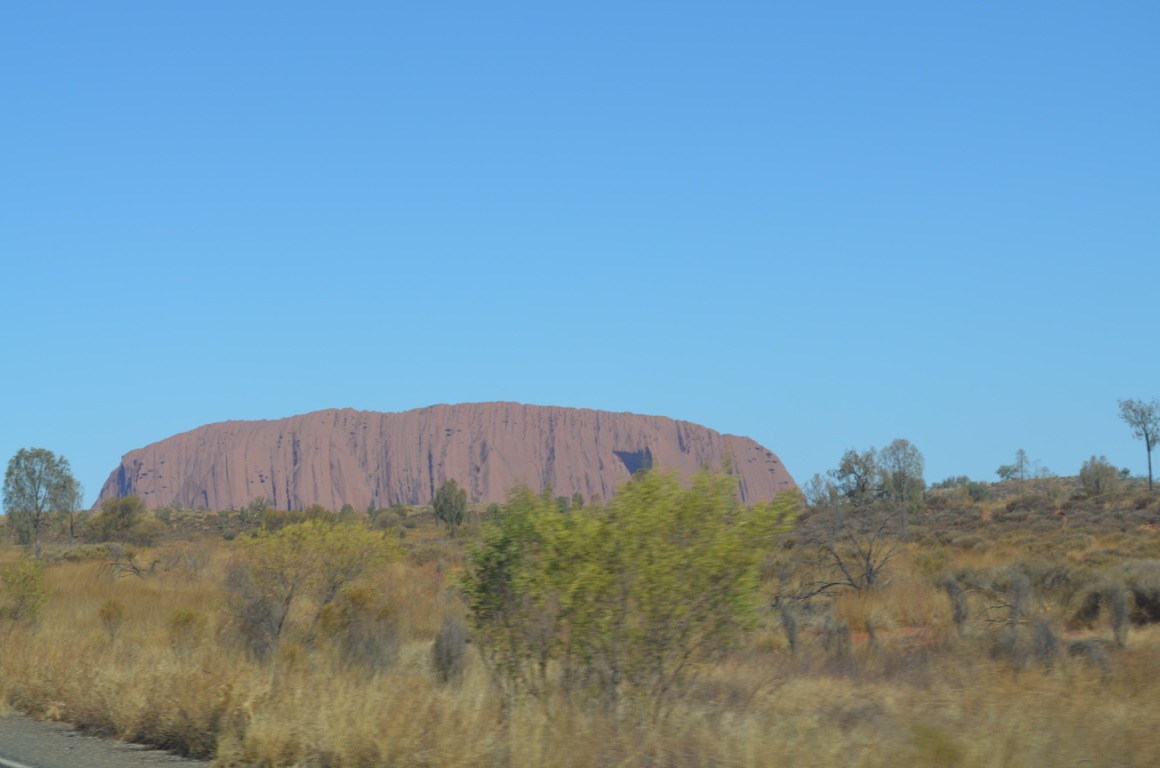
Our first sight of Ayers Rock
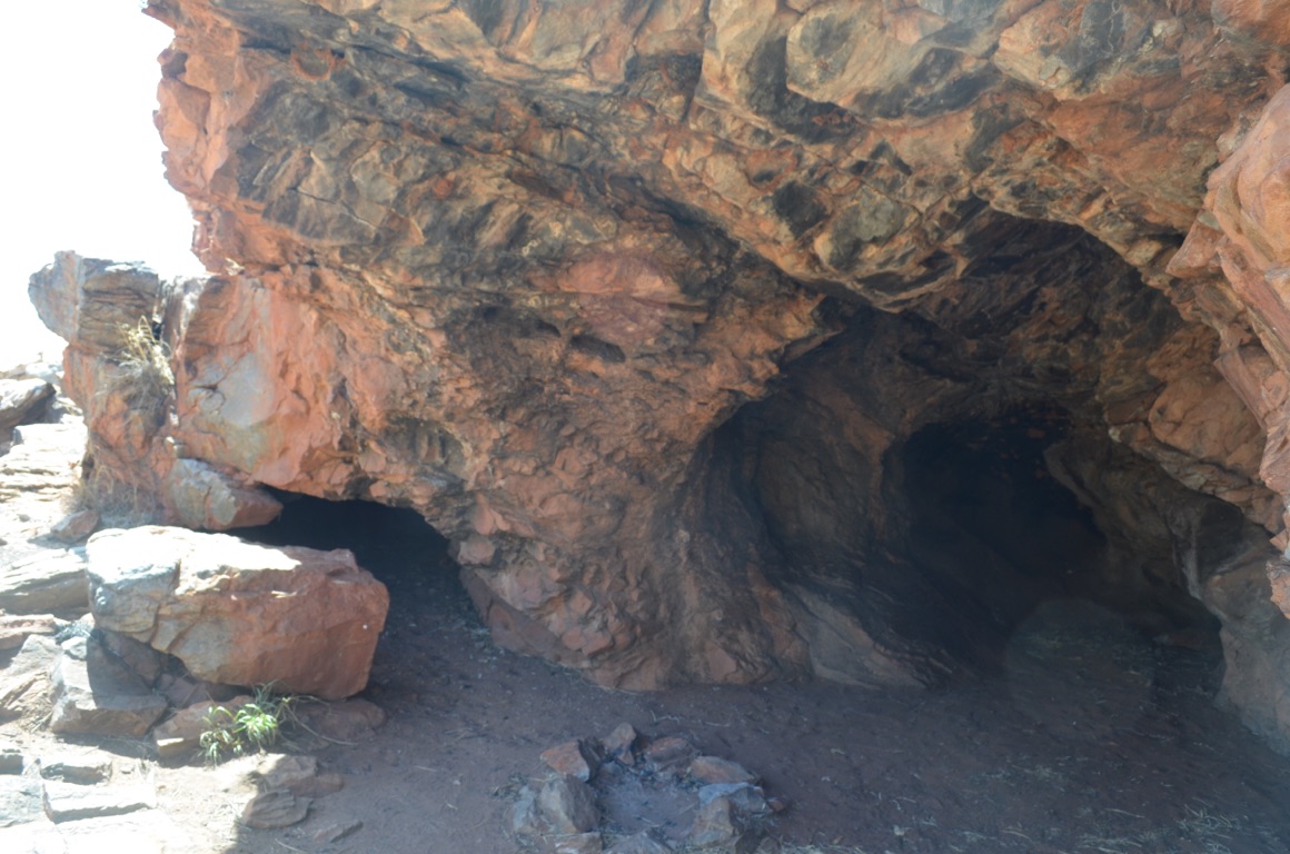
Lasseter’s Cave
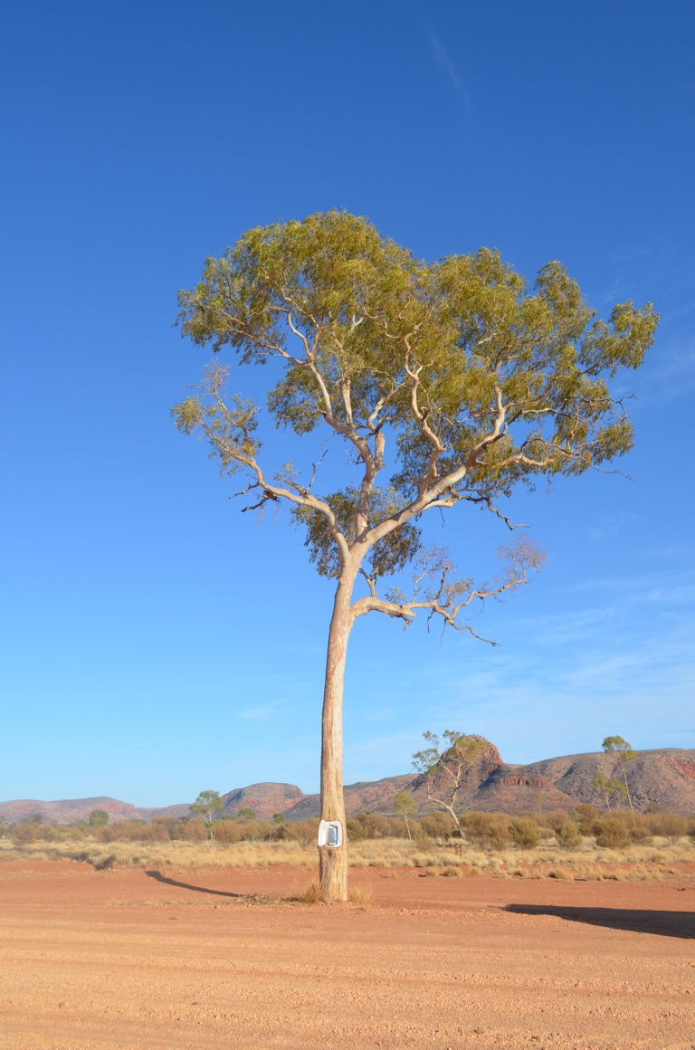
One of Len Beadell’s markers along one of the many roads he surveyed and established
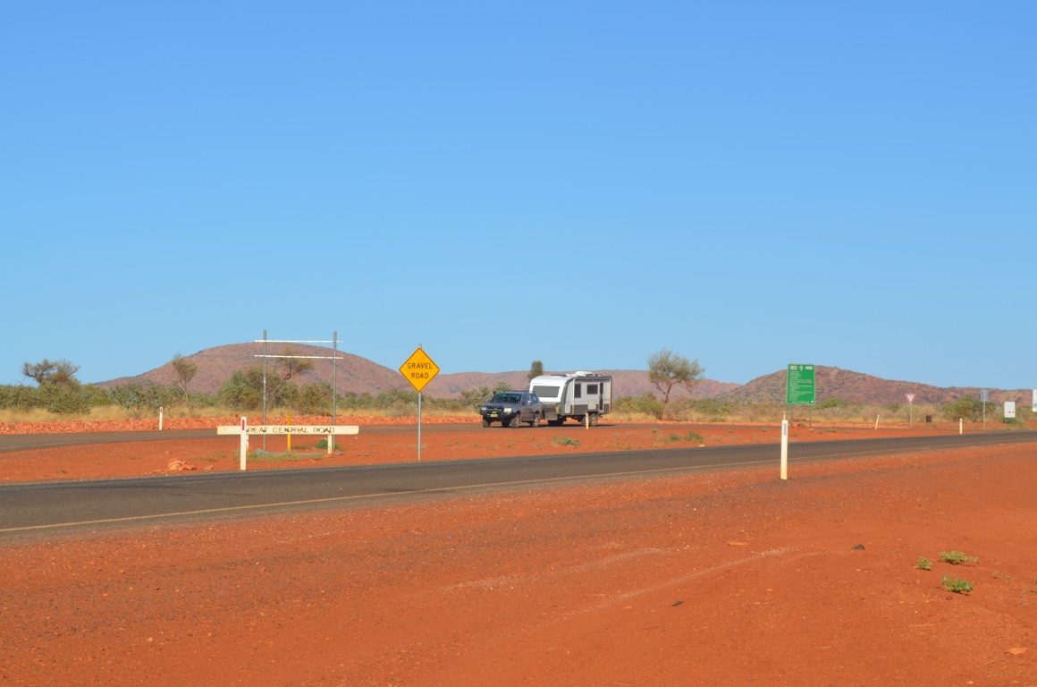
The Western Australian / Northern Territory border
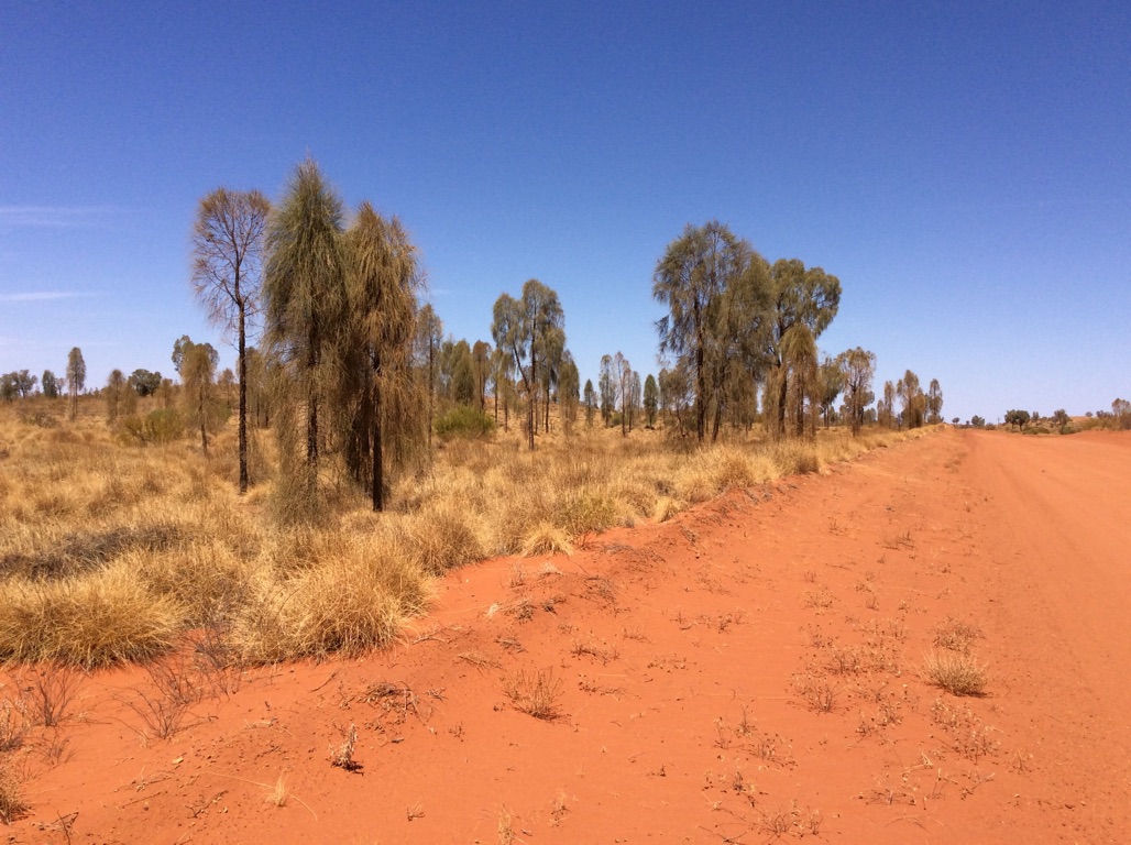
An interesting change in vegetation - it appears to be a variety of casuarina
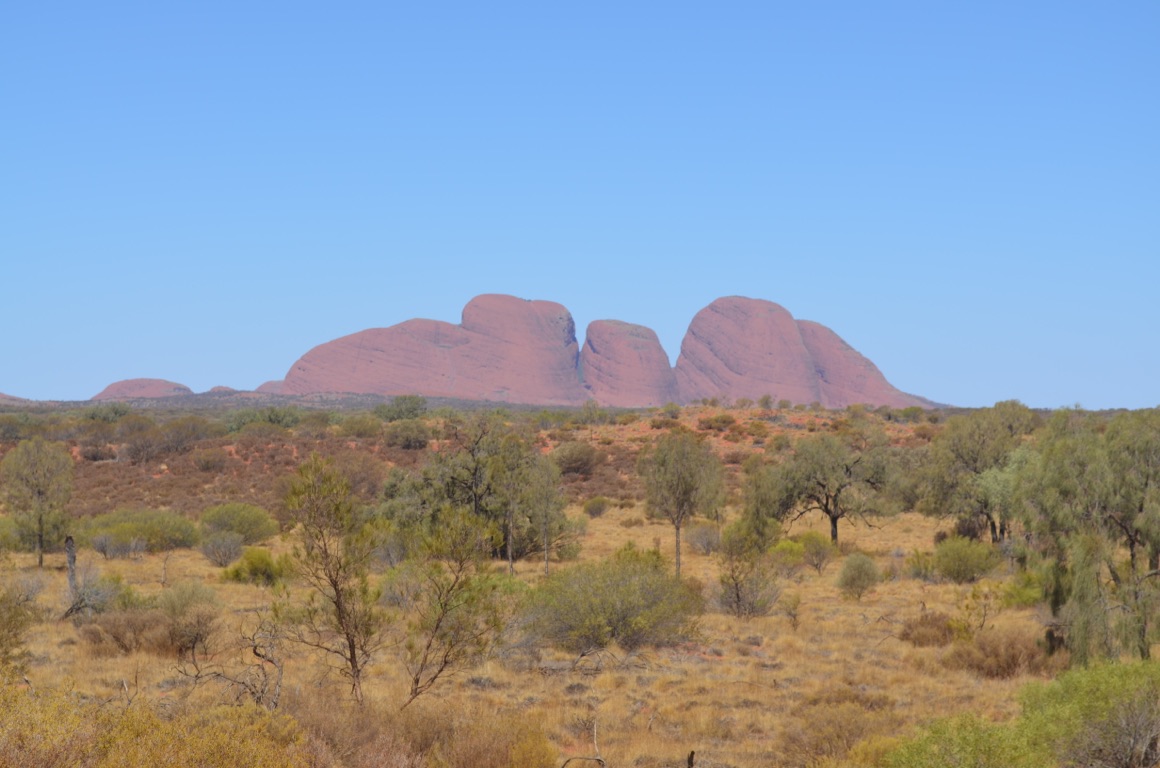
Our first sight of The Olga’s
![]()
![]()
![]()
![]()
![]()
![]()
OR
Copy the link to @yilgiddie Journo below
Well, we just wanted to escape!
So, after finding a dump point (for the uninitiated, a place where grey and/or black water can be legitimately disposed), as surprisingly the caravan park didn’t have one, we set off for King’s Canyon.
On the way, we stopped briefly just outside Curtin Springs (taxable.shackled.curing), named after the Prime Minister of Australia during WWII - John Curtin. What is interesting about the view from Curtin Springs is the view of Mt Conner, often mistaken by some as Ayers Rock. It has been termed as one of the three ‘tors’, the other two being Ayers Rock and the Olga’s. All three have one common theme and that is that they were all formed from gravel and sand deposited 500 million years ago under a huge inland sea in what is now called the Amadeus Basin. Then, 100 million years later, continental shifts compressed, folded and tilted each deposit upwards in different directions and the three ‘tors’ emerged. However, the three developed in different ways, giving each one a unique appearance.
After turning off the Alice Springs road (barefoot.glass.affluent), we headed north and drove through more dramatic country, characterised by large mountain ranges, eventually arriving at our destination - King’s Canyon Resort.
The resort is part of a conglomerate, which includes El Questro and Lizard Island, and offers travellers, mainly coach tour groups, accommodation and tourist experiences. It also offers good value caravan and camping sites, which we used - although we did treat ourselves to a great buffet dinner, along with a couple of busloads of Italian tourists.
As there is no internet access, at least without a hefty usage fee, today’s post won’t see the light of day until next week sometime.....
Total km today: 318
Total cumulative km: 14,875
what3words: cheesy.stumpy.hustlers
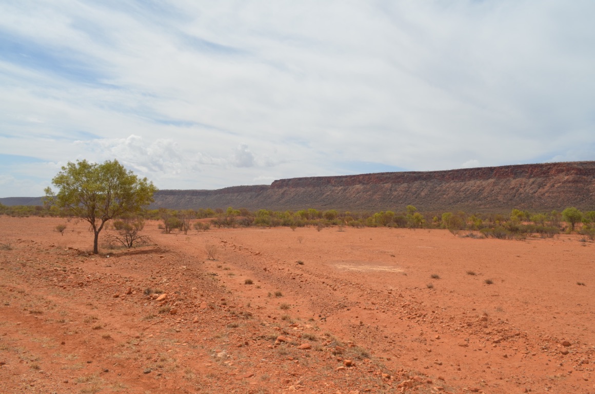
Approaching King’s Canyon
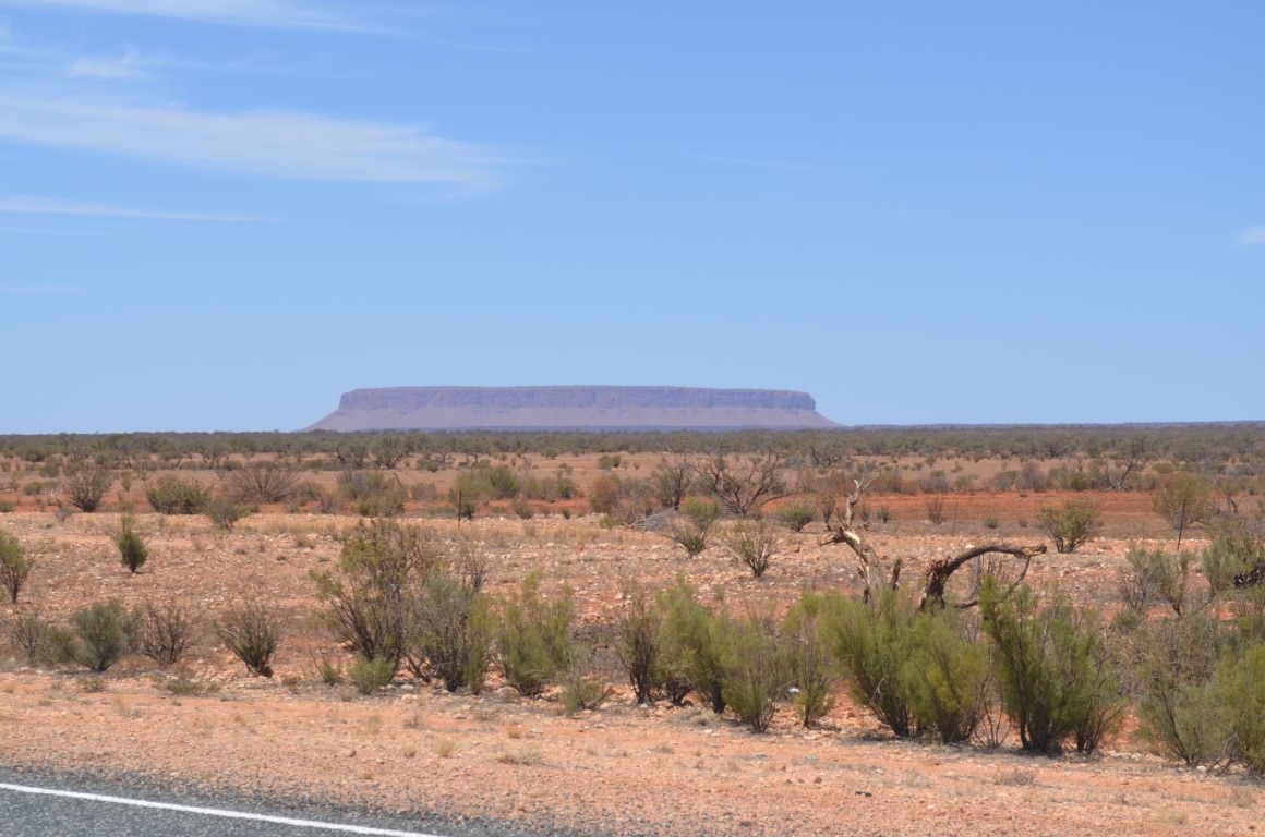
Mt Conner from Curtin Springs Roadhouse
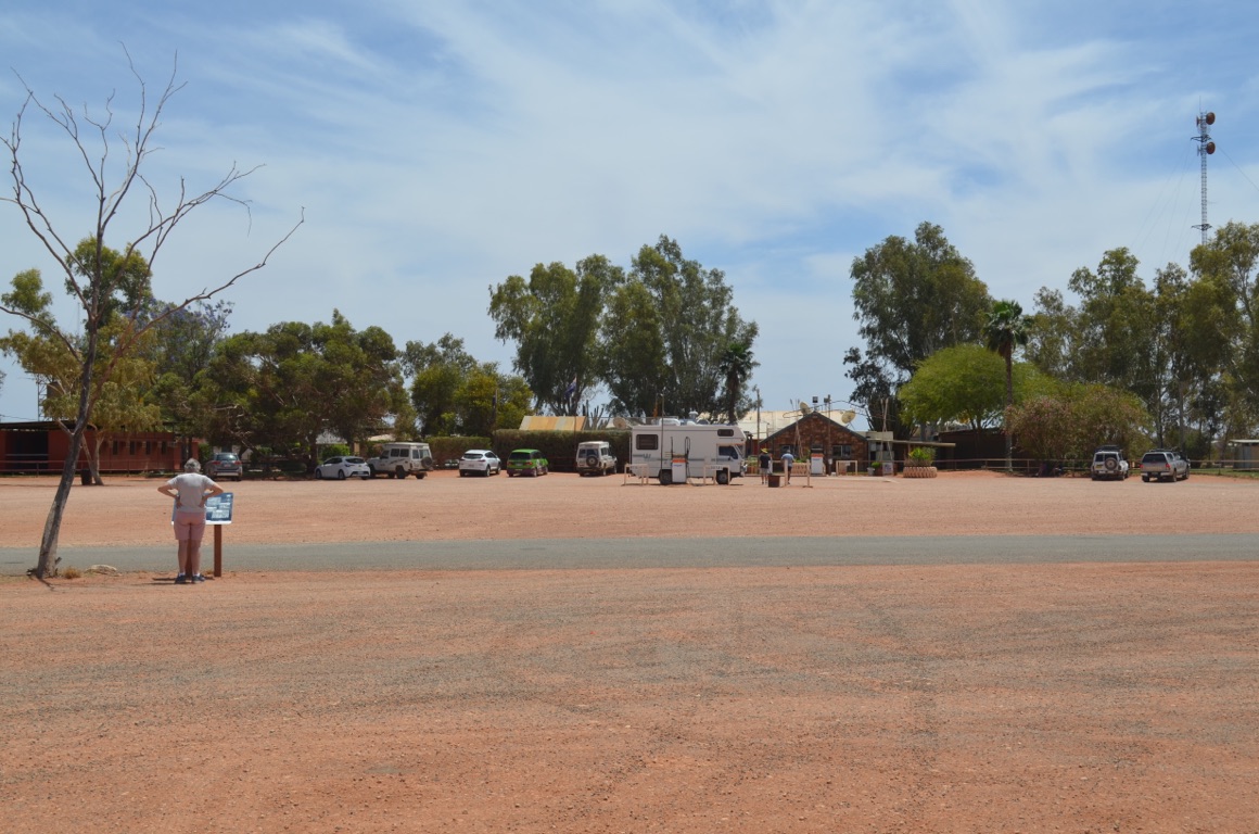
Curtin Springs Roadhouse
![]()
![]()
![]()
![]()
![]()
![]()
OR
Copy the link to @yilgiddie Journo below
A relatively easy day.
The campground seems to turn around daily and we were one of only a few who stayed more than one night.
We took ourselves off to King’s Canyon (unlocking.laterally.noises) itself - only a few kilometres south east of the resort. Watarrka National Park is not big but it packs a punch in terms of its topography and vegetation. We elected to walk along the canyon creek bed and weren’t disappointed. The canyon, although of course it’s been there for millennia, was opened up to the public and provided with excellent walks and infrastructure only a few years back.
Again, no communications, so this post won’t go until we have internet access.
Total km today: nil
Total cumulative km: 14,875
what3words: cheesy.stumpy.hustlers
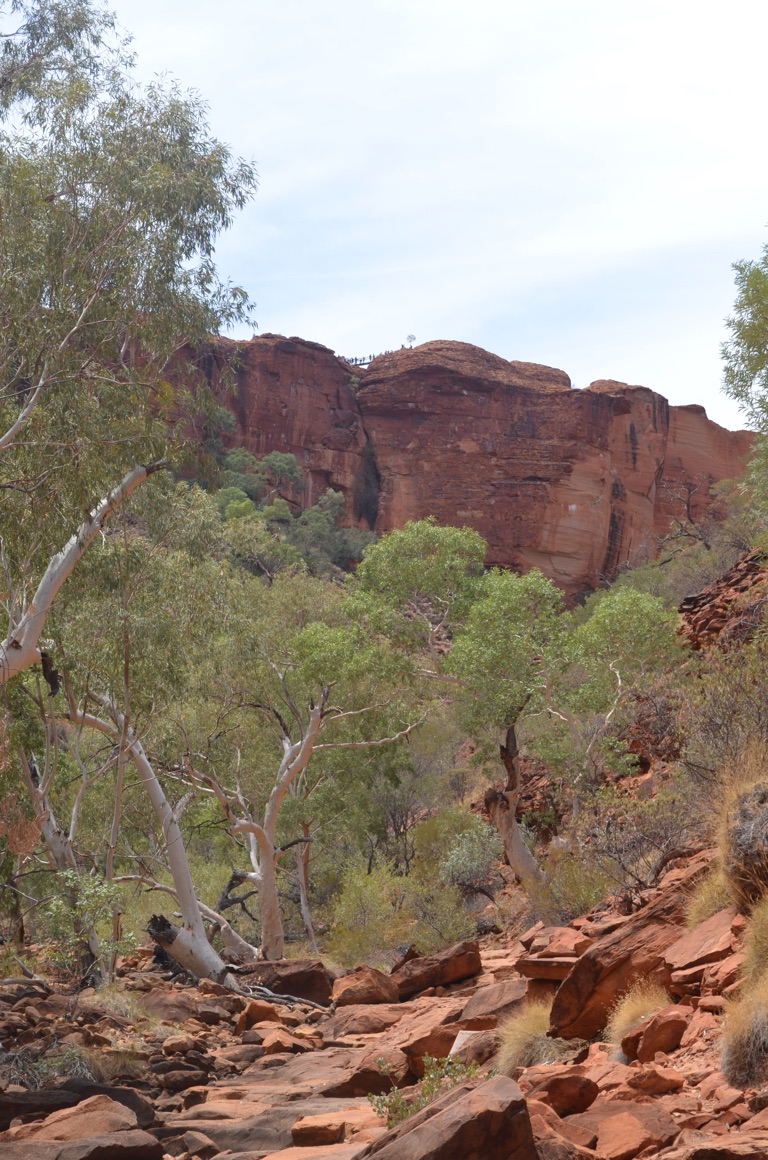
Watakarrka National Park - entry to King’s Canyon
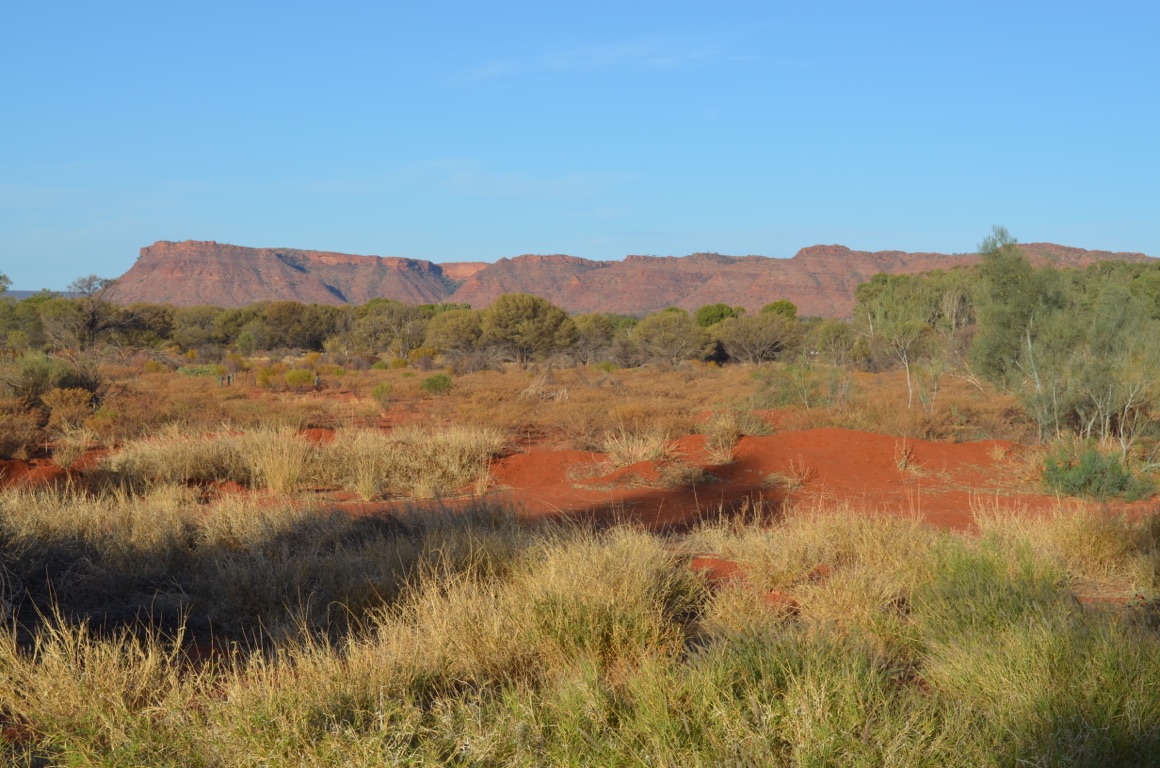
An evening view from our campground
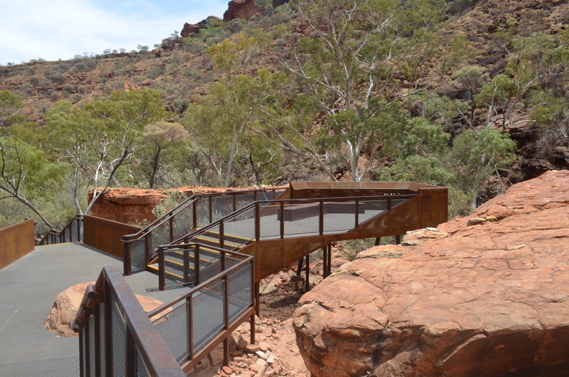
Watakarrka National Park - well built infrastructure
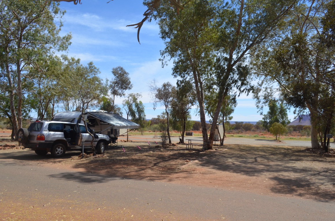
Our campground
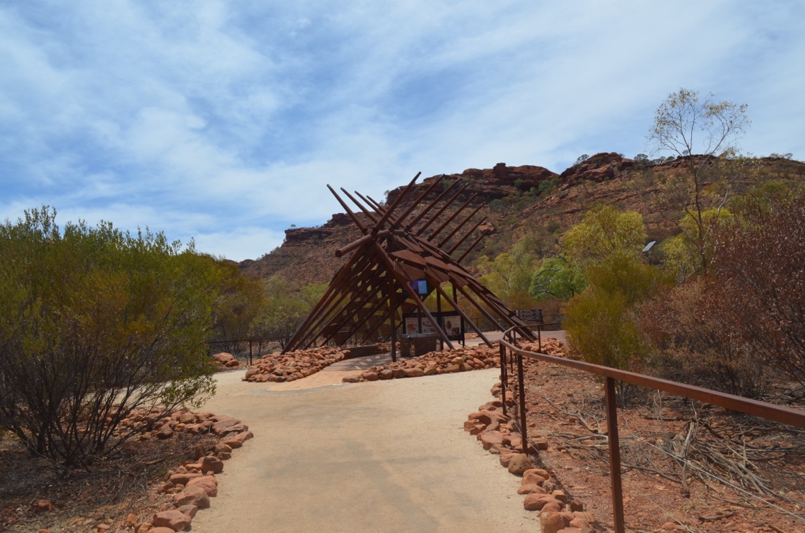
Watakarrka National Park - a bold entrance
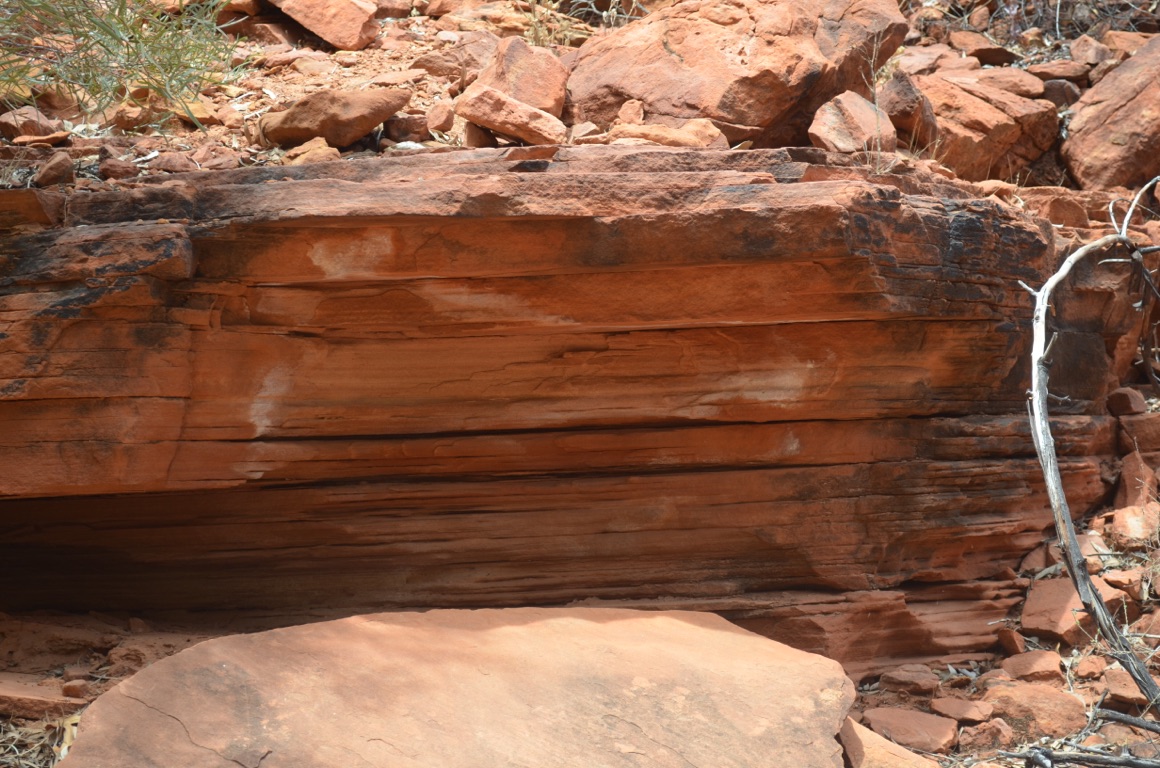
Watakarrka National Park - interesting rock formations
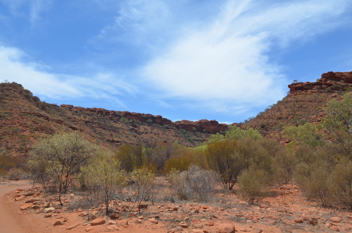
Watakarrka National Park - another view of the canyon
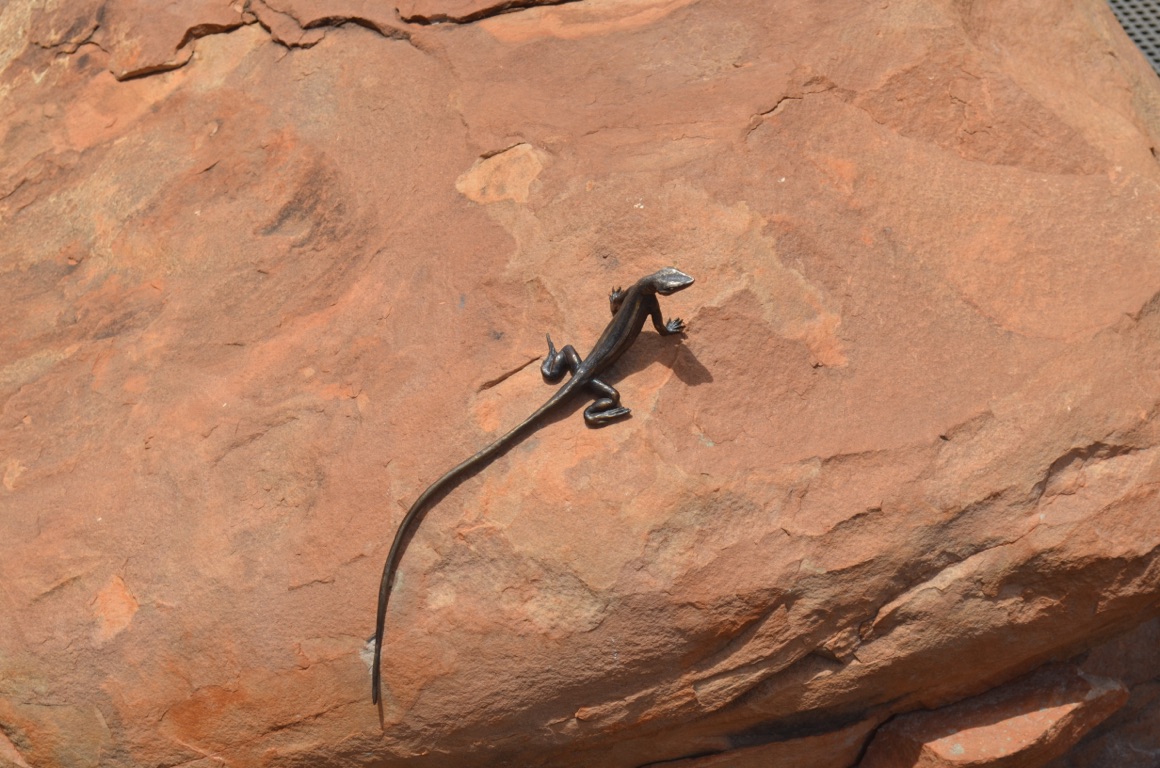
Watakarrka National Park - an example of many sculpted indigenous animals
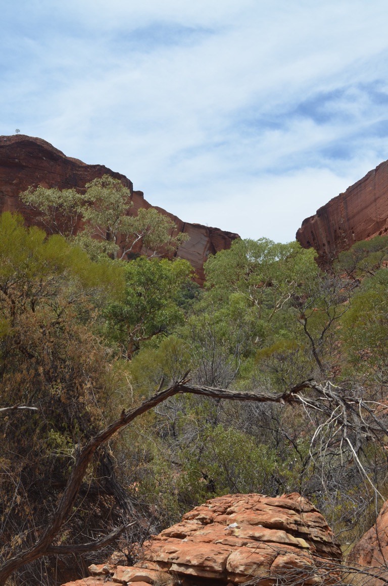
Watakarrka National Park - looking up the canyon
![]()
![]()
![]()
![]()
![]()
![]()
OR
Copy the link to @yilgiddie Journo below
An interesting day. We’d enjoyed a dream run up until today, so we weren’t fully prepared for what happened.
We left King’s Canyon Resort quite early (for us) as we knew we had more dirt road to contend with.
But the result was amazing - some of the most wonderful vistas one could ever wish to see. Unfortunately, the camera wasn’t able to do them justice as the views were too expansive. Thankfully, however, they’re locked into our minds and will stay for a very long time.
We stopped for a brief lunch at the end of the dirt road, which turned out to be almost as demanding as the Docker River to Yulara section of the Great Central Road. We then had just under 100 km of bitumen before reaching our destination for the day - Glen Helen Lodge. A very basic overnight stop which offers most of the nasic facilities but which was recently purchased by an Aboriginal corporation and is already showing signs of deterioration - quite a contrast to King’s Canyon Resort which is quite the opposite.
It was here that we found that the clamp on the drawbar which holds the jack in place had been damaged and the weld fractured, with the result that the jack we purchased in Perth to replace the original (heavy) one was lost somewhere along the way. This meant that we had no permanent means of supporting the van when it was unhitched from the vehicle. So we decided to hot tail ourselves to Alice Springs in the morning to organise a replacement jack and clamp and then find someone to weld back the clamp. More to follow.
Again, no communications, so this won’t go until we reach the Alice.
Total km today: 228
Total cumulative km: 15,103
what3words:
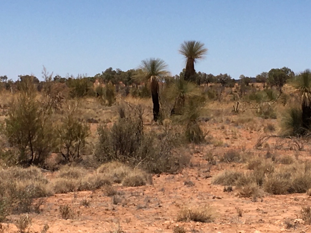
Some blackboys along the way of which there were very few (perhaps that’s politically incorrect too)
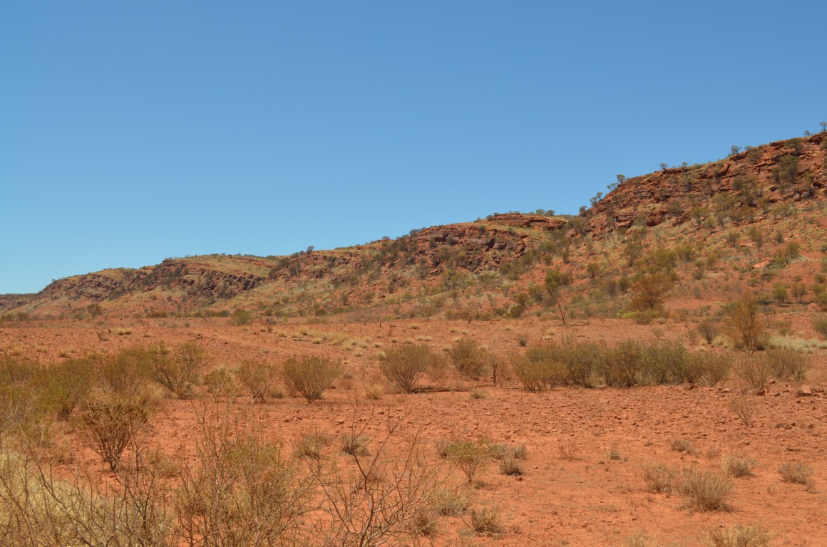
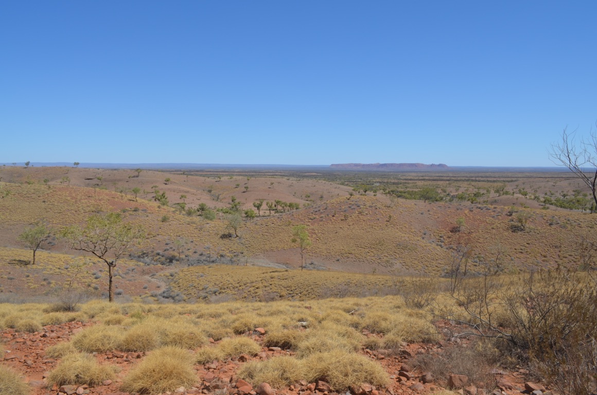
View from atop Tyler’s Lookout
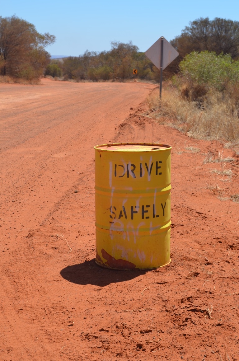
The first one - a totally meaningless politically correct sign, almost certainly issued by a bureaucrat
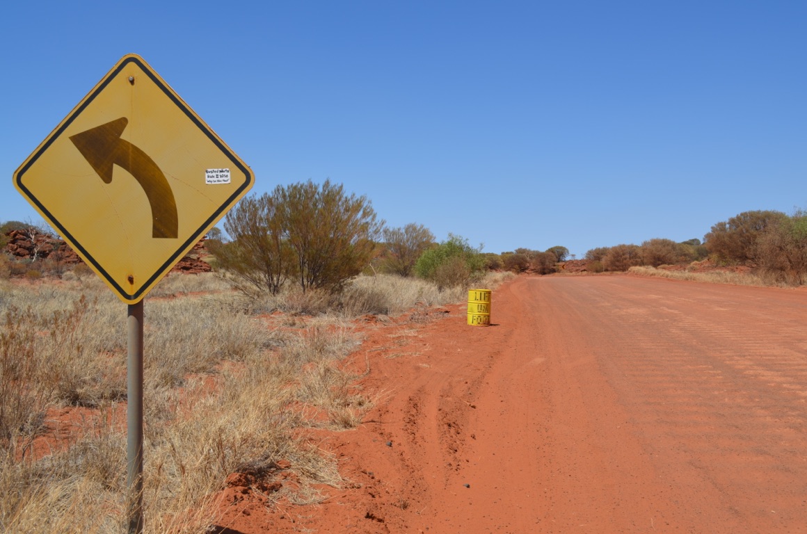
A simple corner with some illuminating signs....
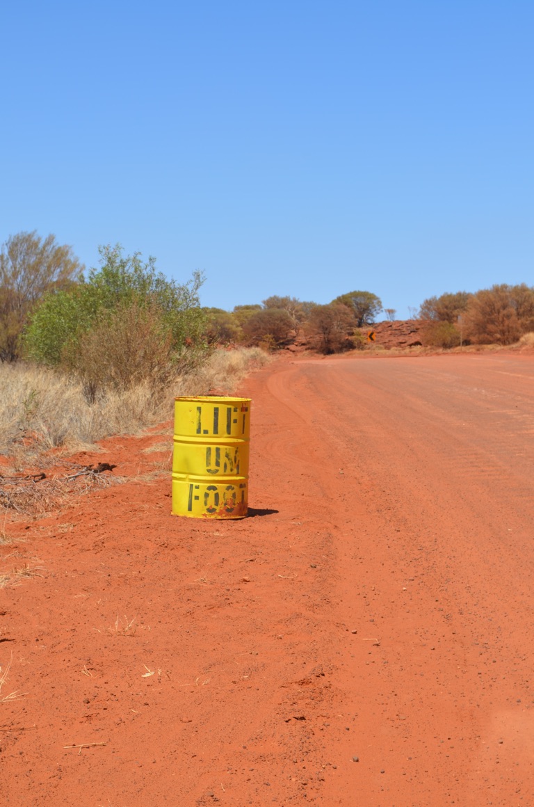
The second sign (LIFT UM FOOT) - a politically incorrect sign which tells it exactly as it is......
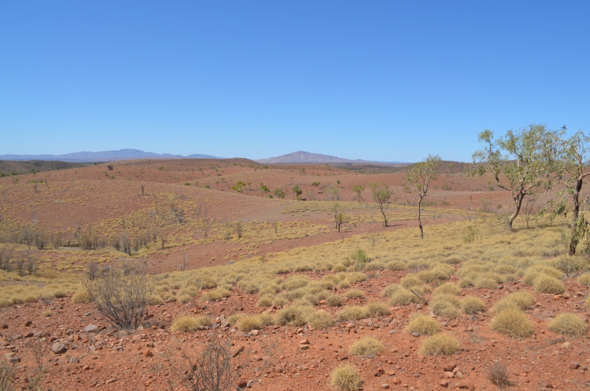
View from atop Tyler’s Lookout
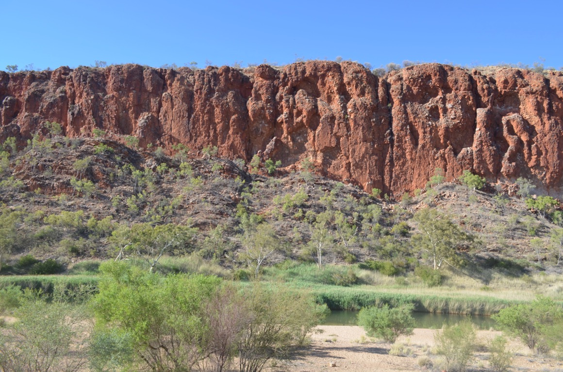
Looking out across the waterhole from Glen Helen Lodge
![]()
![]()
![]()
![]()
![]()
![]()
OR
Copy the link to @yilgiddie Journo below
After a chat with an interesting couple in the campground (they were probably in their late 70’s and, over the past 18 months or so, had driven the Gunbarrel Highway, Great Central Road, Oodnadatta Track, Strzelecki Track, Tanami Track, amongst others, in their Ford Ranger 4WD) we set off for Alice Springs (turnover.snowflake.noticing) to attend to our mechanical issue.
By the afternoon, we’d ordered a new jack, arranged for the broken clamp to be repaired (rather than having to buy a new one) and subsequently having it welded back to the drawbar later in the week and set up the caravan in the park which will become our home until after the weekend (the jack won’t arrive from Sydney until Monday).
It’s hot in the Alice today and is forecast to be 40°C tomorrow.
Total km today: 142
Total cumulative km: 15,245
what3words: stumps.deviations.evade
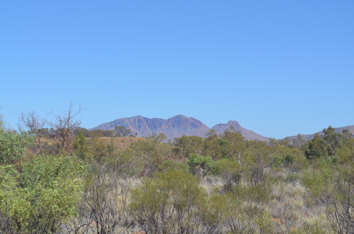
Between Glen Helen Lodge and Alice Springs
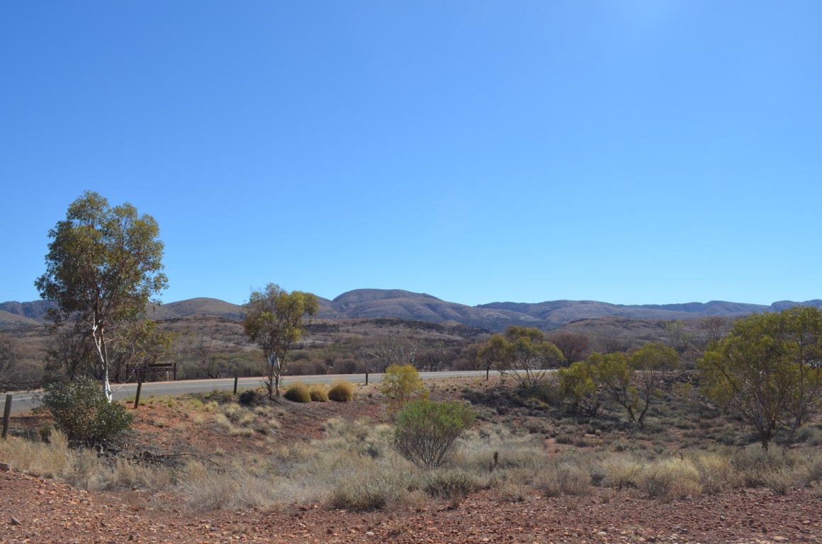
Between Glen Helen Lodge and Alice Springs
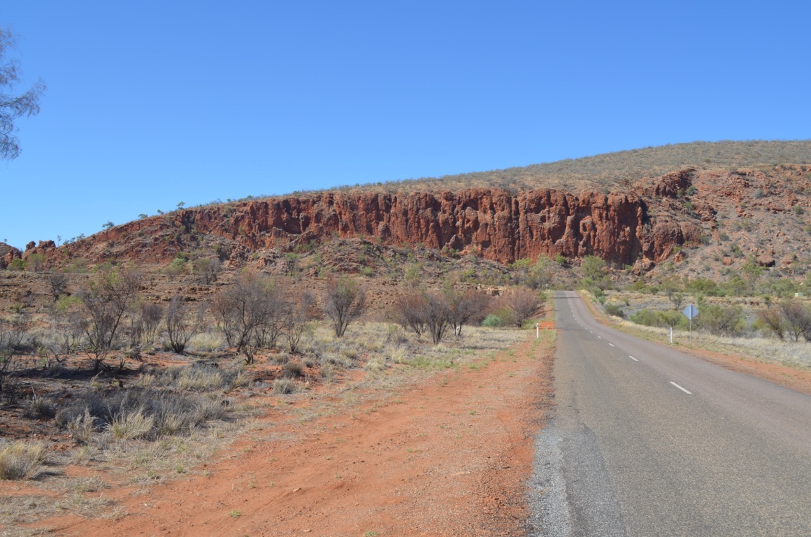
Between Glen Helen Lodge and Alice Springs
![]()
![]()
![]()
![]()
![]()
![]()
OR
Copy the link to @yilgiddie Journo below
A warm day today so a late start before venturing out into the heat was called for.
After a visit to a plumber and hardware store, we spent most of the day, including lunch at the Royal Flying Doctor Service Museum (supple.ducks.cadences).
The service was the brainchild of the Reverend John Flynn and now has a network of aircraft, currently totalling 74 and strategically located around Australia, all equipped with state of the art medical equipment and manned by highly trained doctors and nurses, all ready to respond around the clock to medical emergencies across the nation.
Total km today: nil
Total cumulative km: 15,245
What3words: stumps.deviations.evade
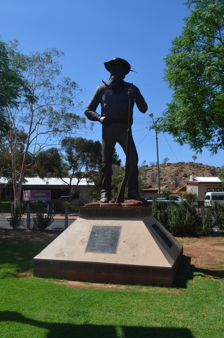
John McDouall Stuart and his companions were the first Europeans to pass through the region, going on to discover the centre of Australia in April 1860
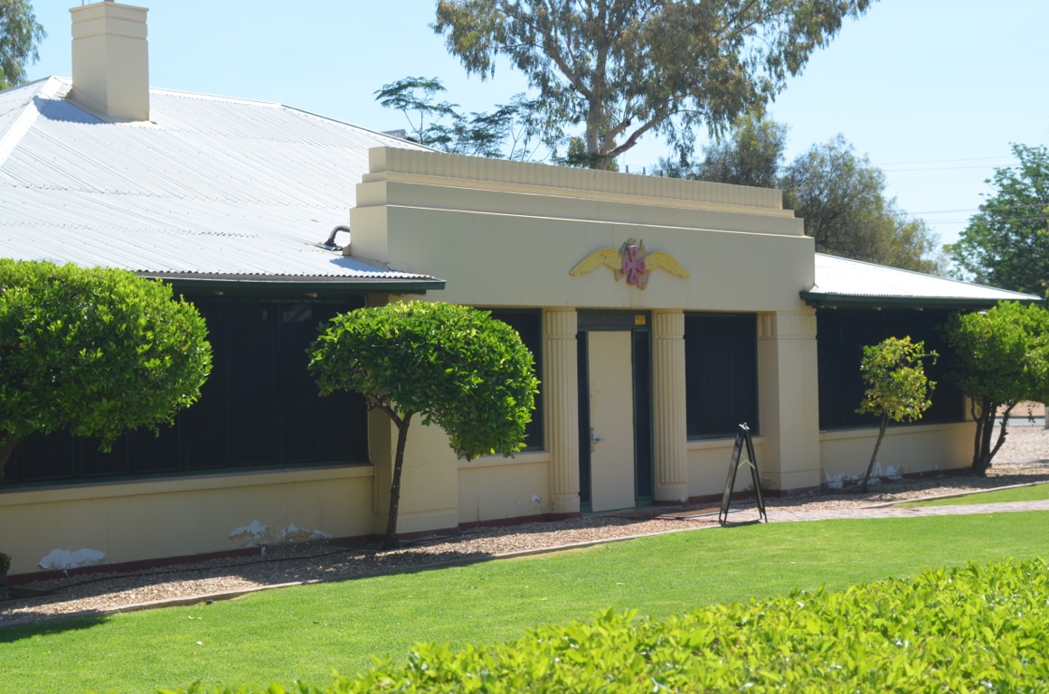
Royal Flying Doctor Service HQ and Museum, Alice Springs
![]()
![]()
![]()
![]()
![]()
![]()
OR
Copy the link to @yilgiddie Journo below
A hot and windy day today - the maximum was 41°C.
Given the conditions, we elected to stay inside as much as possible.
First stop was Adelaide House, which was the first hospital established in Central Australia. The Rev. John Flynn, of Flying Doctor Service fame, established this in 1926. Regrettably, it requires some TLC, especially as it’s a significant piece of history.
We then went up to ANZAC Hill, which is a great vantage point overlooking the town.
Then to Telegraph Station, however as it was now the hottest time of the day, we decided to return tomorrow morning.
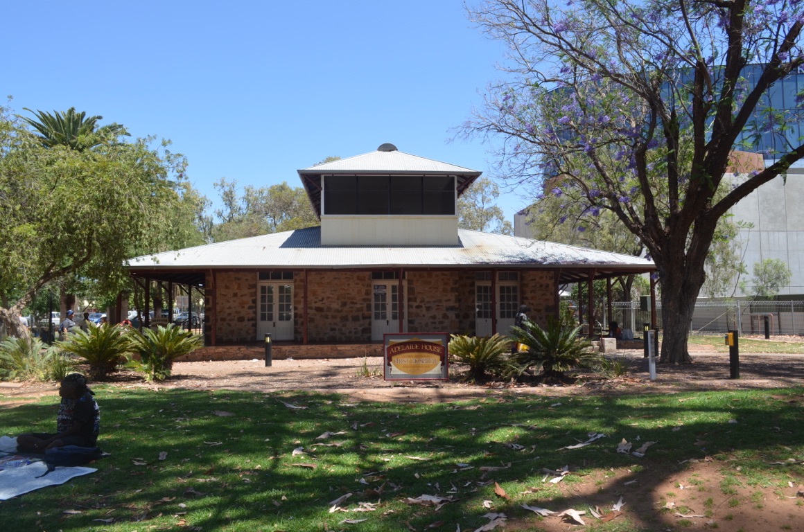
Adelaide House
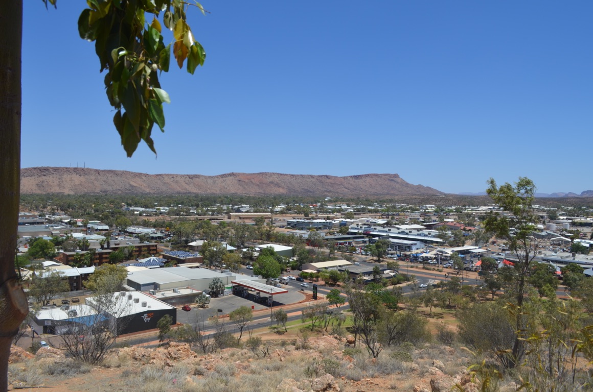
View from atop ANZAC Hill
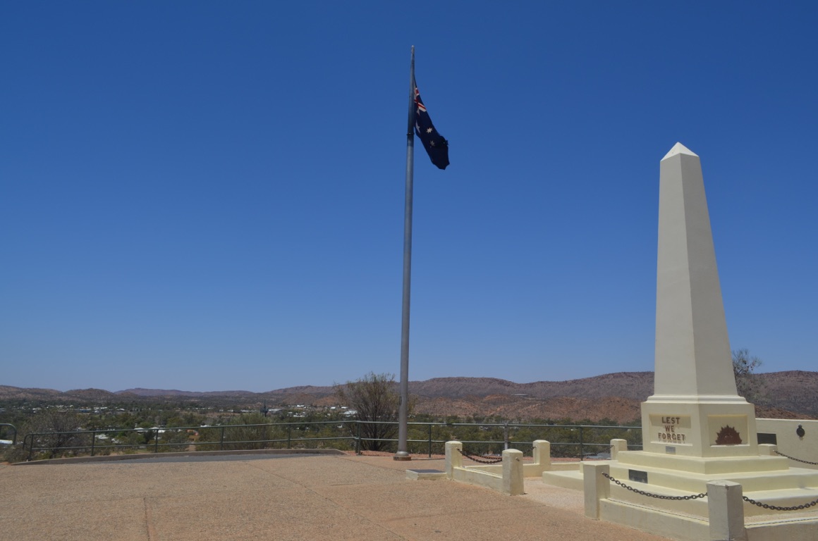
Atop ANZAC Hill
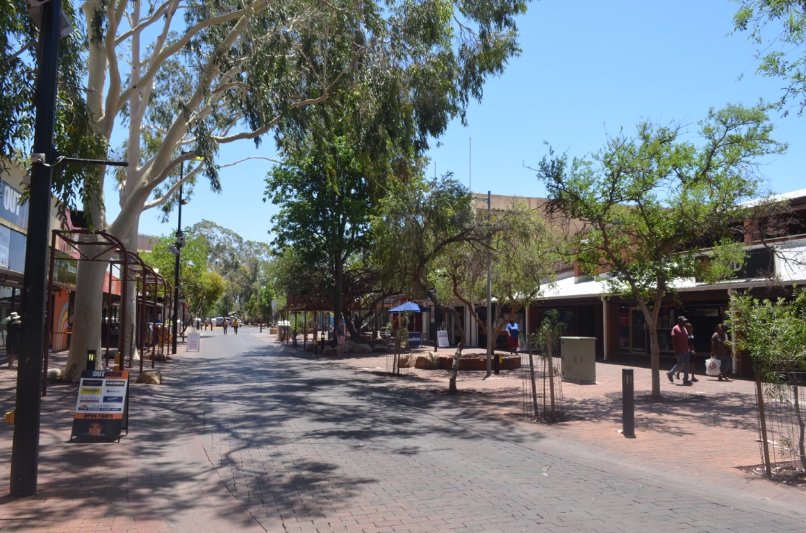
Alice Springs - Todd Mall
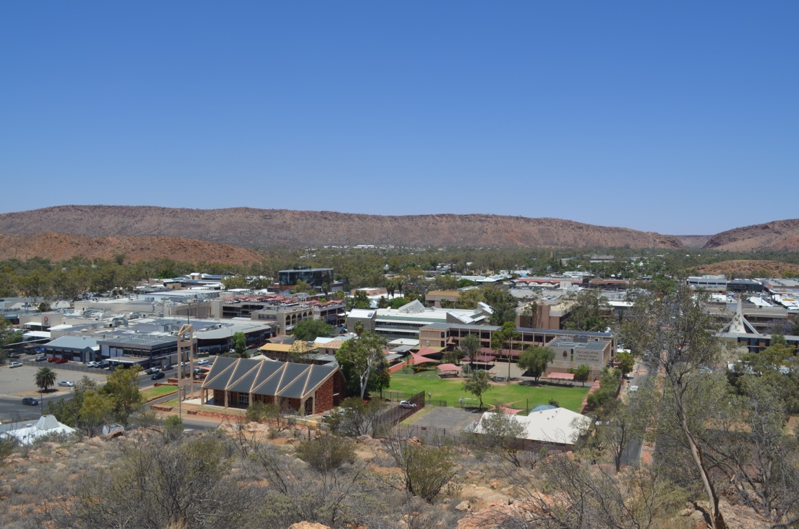
View from atop ANZAC Hill
![]()
![]()
![]()
![]()
![]()
![]()
OR
Copy the link to @yilgiddie Journo below
We decided to return to the Telegraph Station (talking.clanking.skyscraper) after yesterday’s heat - today was forecast to be 35°C.
The station was established in 1871 and was an integral part of the Overland Telegraph Line between Australia and the rest of the world - albeit using Morse code. The first telegram from Australia took almost 24 hours to reach London via Indonesia, Singapore, India, Egypt, Malta and Gibraltar. Now equate that with how long it takes to send an email from Australia to anywhere in the world - and more than 80% of these go via the USA!
They had to be self sufficient in terms of fresh produce as rations from Adelaide only came on a six monthly basis.
The Station is really well maintained and tells a great story.
On our way out of Alice Springs, we stopped at the Rev. John Flynn’s grave (sobbing.redefining.juggles) and continued on to Standley Chasm (relocating.railways.scornful) here we had a sandwich lunch and walked through to the chasm. Really impressive.
Then finally to Simpson’s Gap (acid.yeast.causes)
Altogether, a great day - especially as the day was a lot cooler, although there was plenty of evidence of both bush fires (smoke) and red dust in the air.
We had met a couple from Victoria in the caravan park yesterday and had dinner with them in the evening at the Jump Inn (backseat.whips.unwind) - we had a great night......
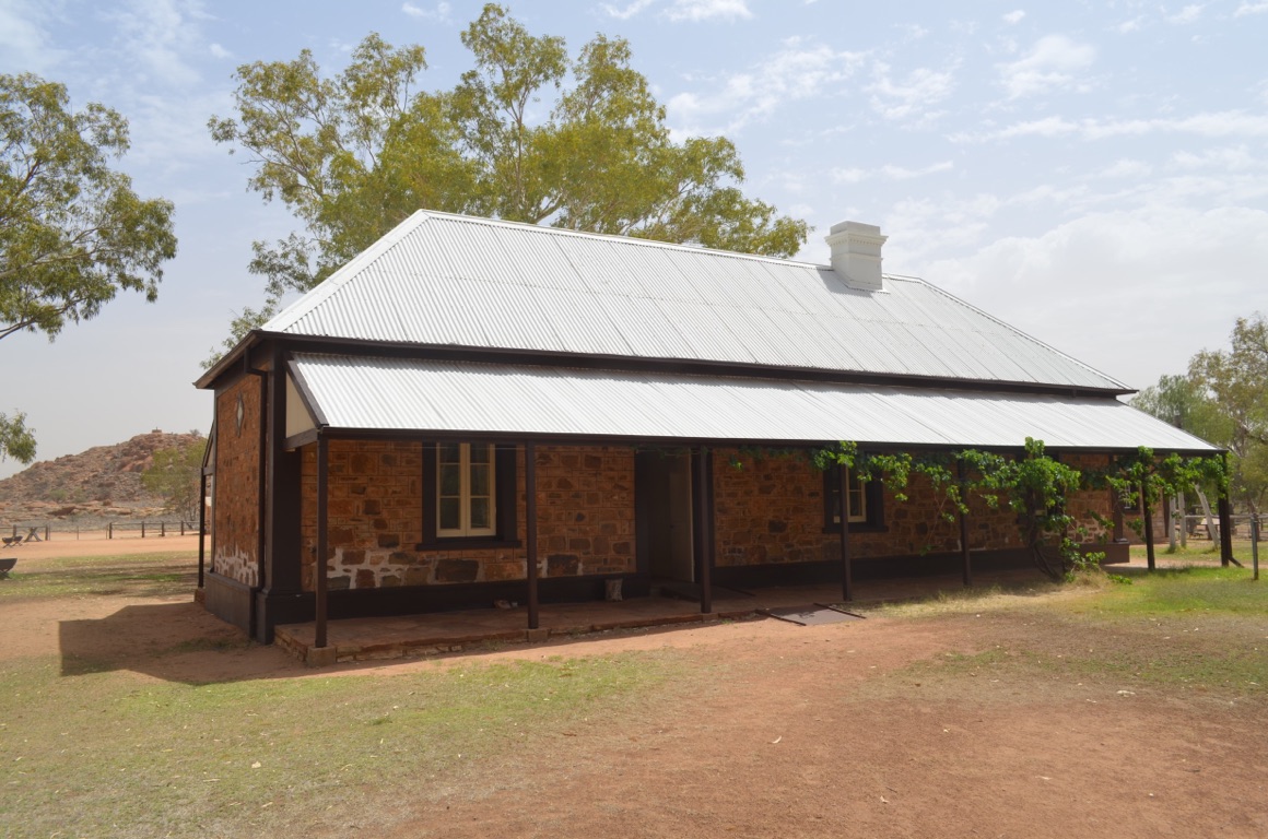
Stationmaster’s Residence and Kitchen
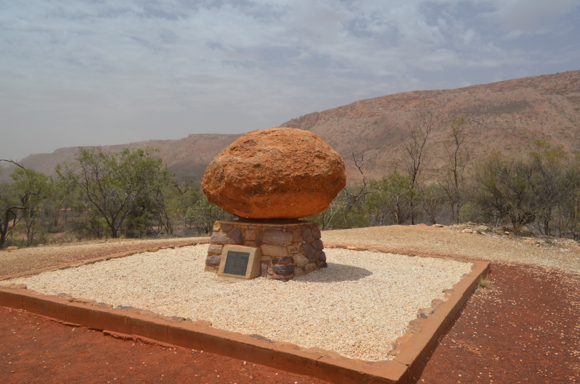
The grave of the Rev. John Flynn (Flynn of the Inland) just outside Alice Springs
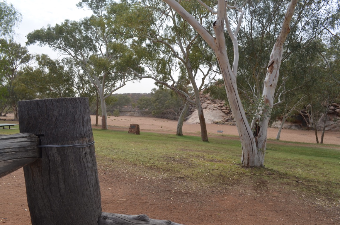
A very important waterhole is at the base of the rock in middle centre. It was thought to be a spring and was named after Sir Charles Todd’s wife, Alice - hence Alice Springs. Todd was the surveyor who made the Overland Telegraph Line from Adelaide to Darwin happen in 1872
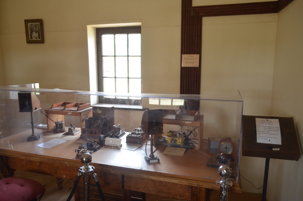
Alice Springs Telegraph Station
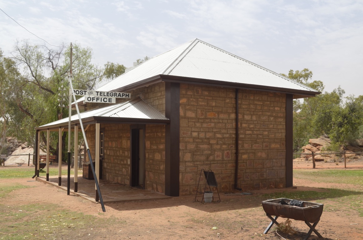
Alice Springs Telegraph Station
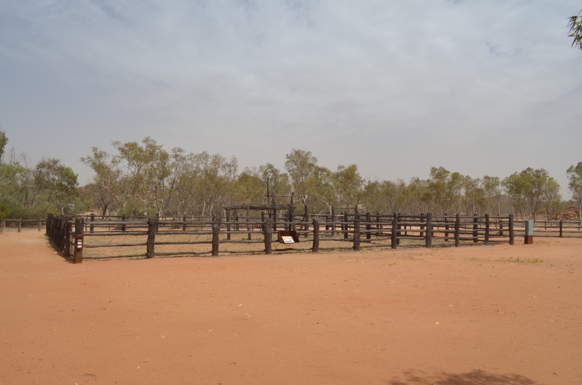
Original stockyards for goats, camels and horses
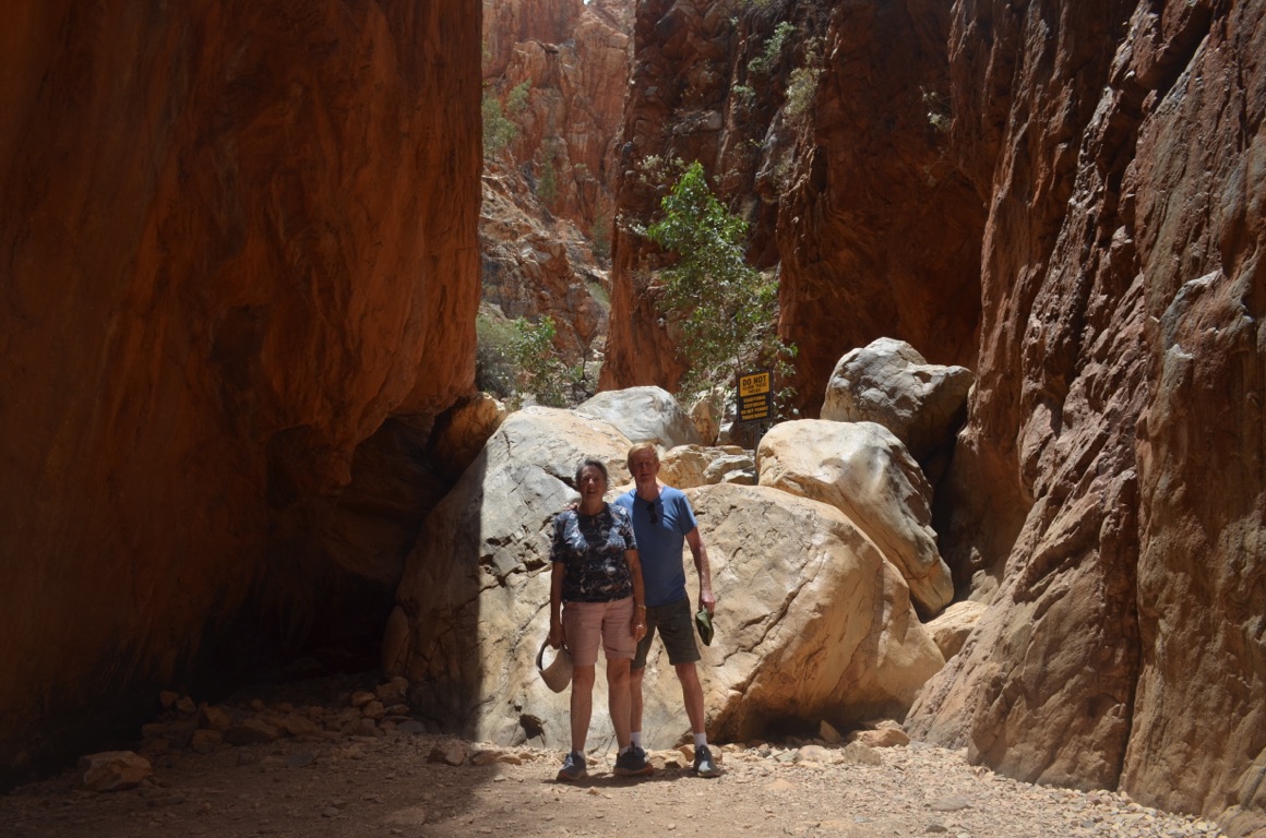
Standley Chasm
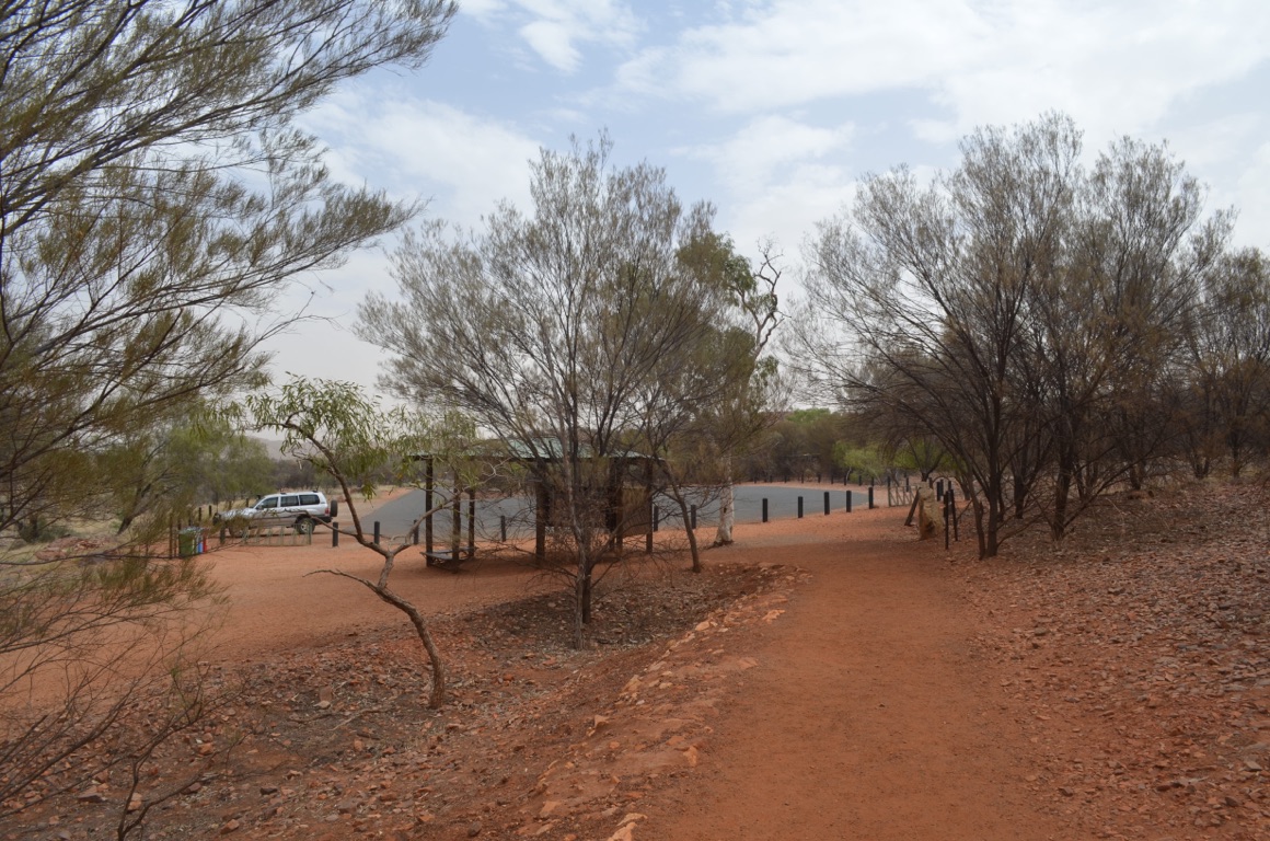
Lots of tourists at this time of year!
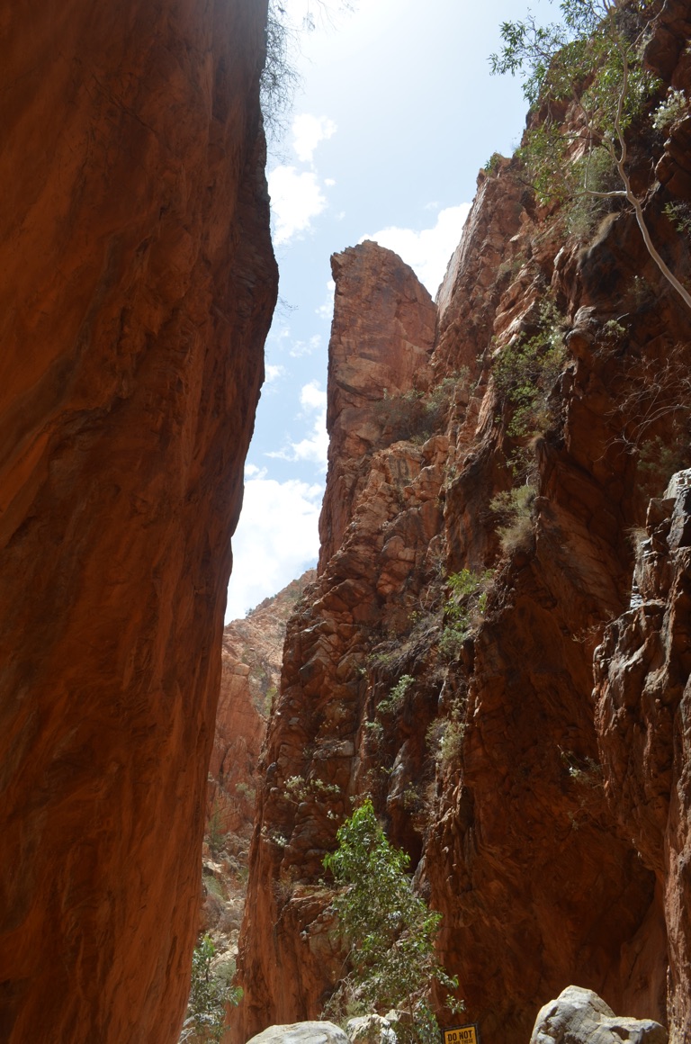
Standley Chasm
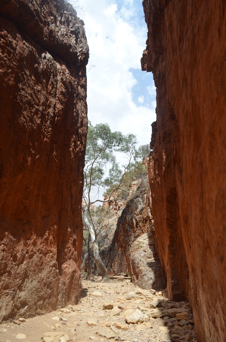
Standley Chasm
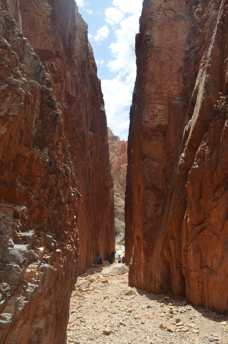
Standley Chasm
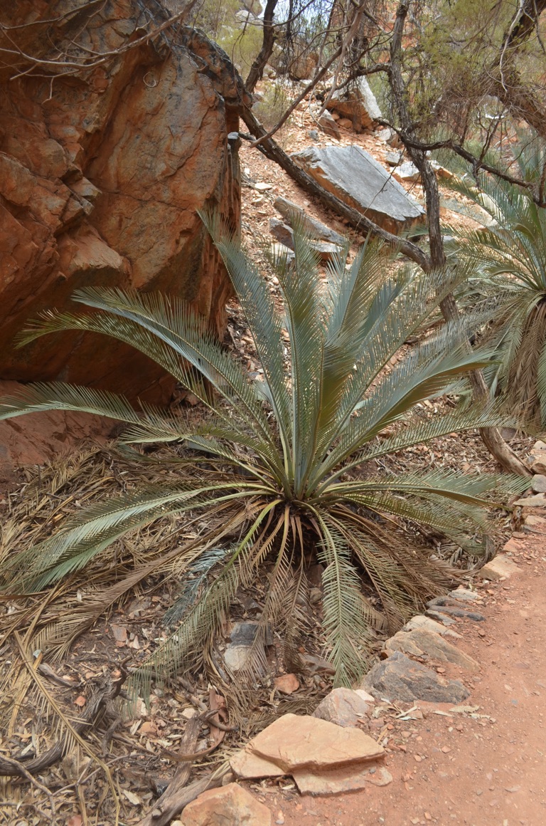
Standley Chasm cycad
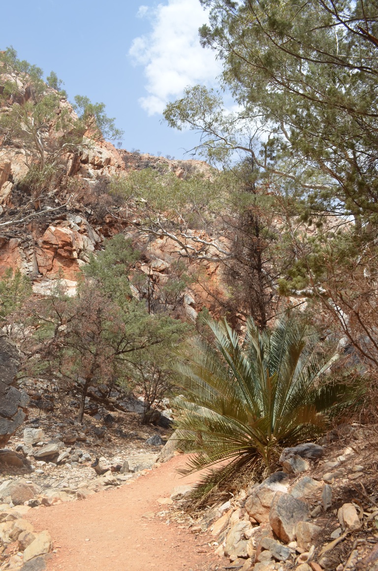
Standley Chasm cycad
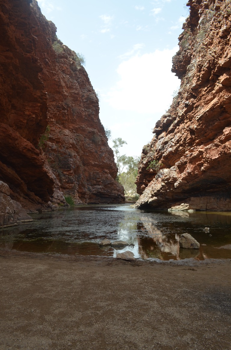
Simpson’s Gap
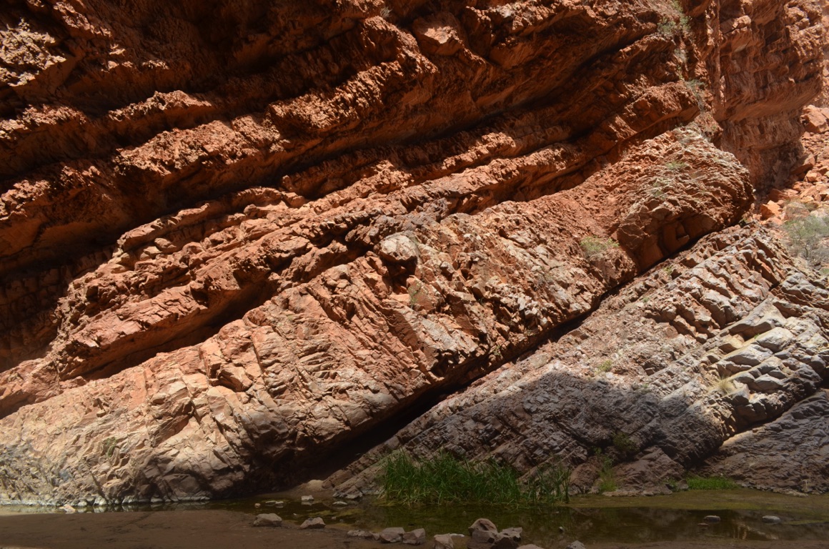
Simpson’s Gap
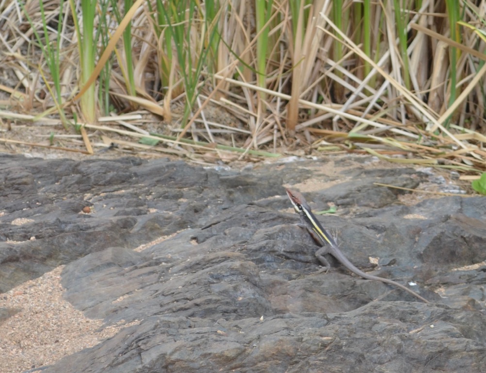
Lizard at Simpson’s Gap

Simpson’s Gap
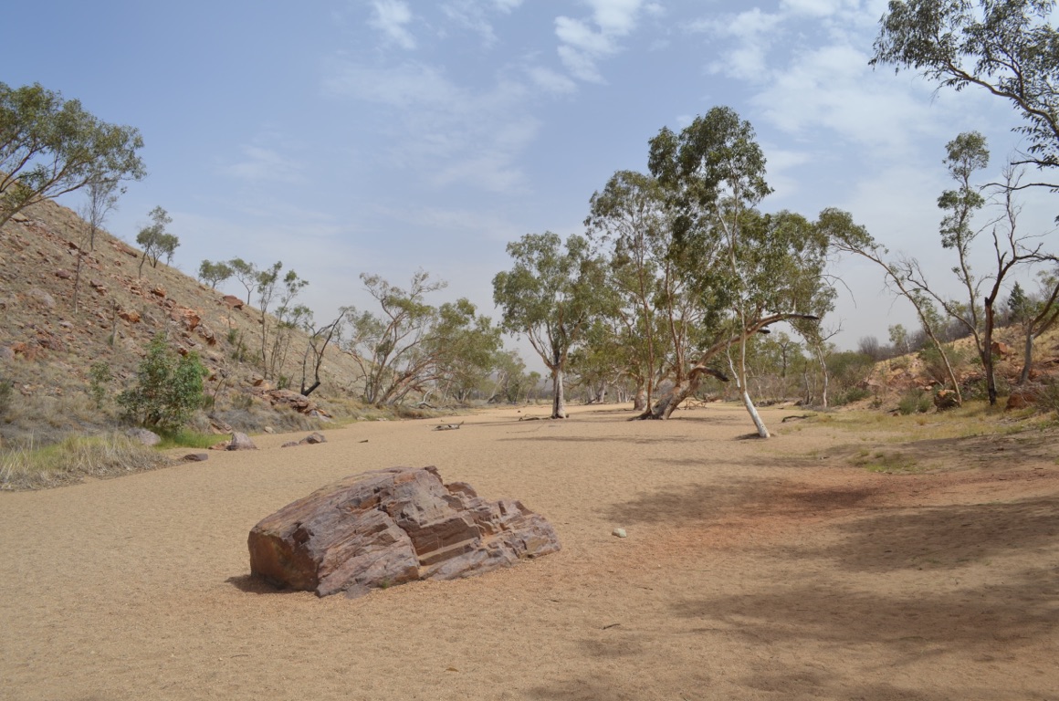
Simpson’s Gap
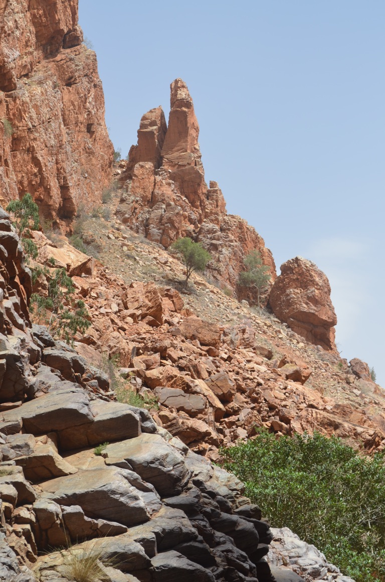
Simpson’s Gap
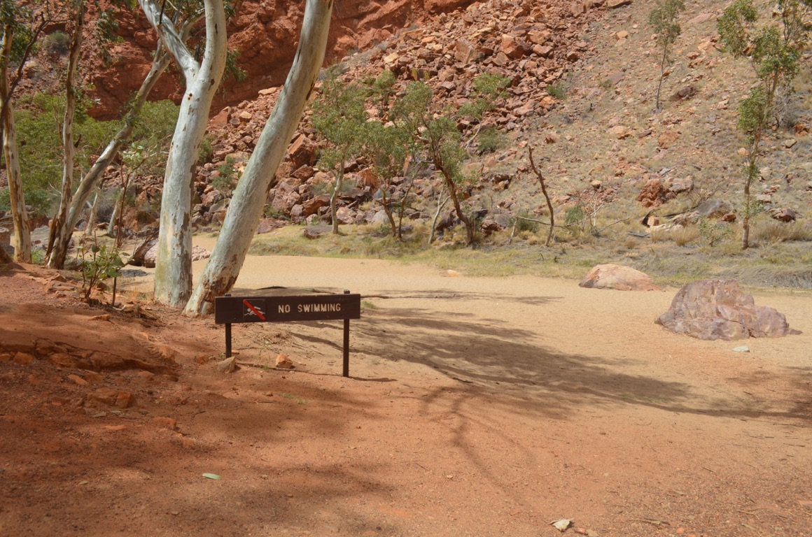
Simpson’s Gap
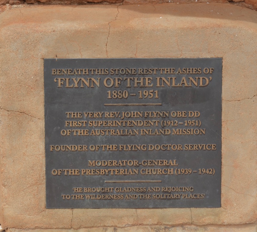
![]()
![]()
![]()
![]()
![]()
![]()
OR
Copy the link to @yilgiddie Journo below
An early start to the day and get on the road to Hermannsberg (passageway.albums.amazons) and the Historic Precinct.
The precinct was established in 1877 on land leased by the Government to the Finke River Mission. Two young German Lutheran missionaries set out from the Barossa Valley in South Australia and had with them: a mob of 2,000 sheep, 25 head of cattle, 40 horses and rations to carry them through their 2,000 kilometre trek to the precinct, which consisted of 3,750 square kilometres. The two pastors were subsequently joined by another missionary and others.
The work they carried out in supporting the Aboriginal people (establishing a school, a church and other essential buildings) was especially hard and eventually took their toll on the three pastors and, by 1893, all had left. However, in 1894, Pastor Carl Strehlow and his wife revitalised the Mission and made significant material improvements as well as developing a close bond with the indigenous people. His work was done until his last days in 1922. Finally, and in 1925, Pastor F.W. Albrecht and his wife arrived to carry on the good work of his predecessors. During the 1960s and 1970s a number of changes to the Australian Constitution had the effect of encouraging the Aborigines to leave the Mission and join their kinship groups elsewhere. However, Pastor Albrecht’s son, Paul, took on a wide ranging role of spreading the Gospel beyond Hermannsberg.
Sadly, the Historic Precinct is in an exceptionally poor state of repair and, it would seem, is not likely to survive in the long term without considerable expense. We came away feeling very depressed.....
We had hoped that the café would have been open for us to have a coffee and snack - but that had been closed too.
So, we set off once more and took to the dirt briefly to drive into Gosse Bluff (ascension.subjecting.necks) before heading for Glen Helen Lodge (unlit.swaying.grandiose) again, in search of a feed.
Then, after lunch, we headed off for ‘home’ in Alice Springs.
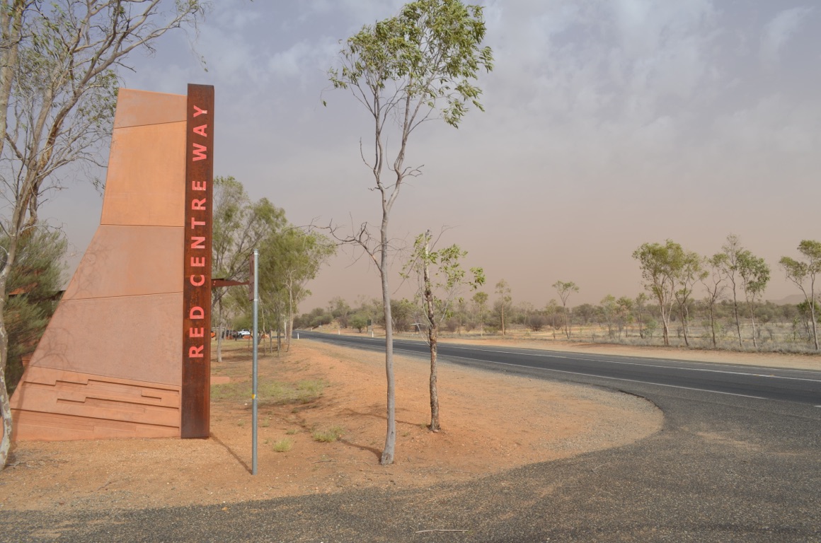
On the way out west we encountered heavy dust storms.....
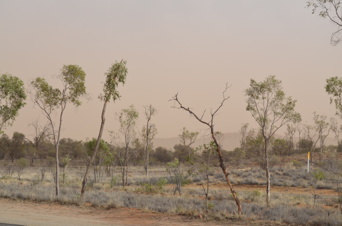
On the way out west we encountered heavy dust storms.....
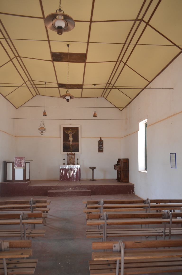
Hermannsberg Historic Precinct: the Church
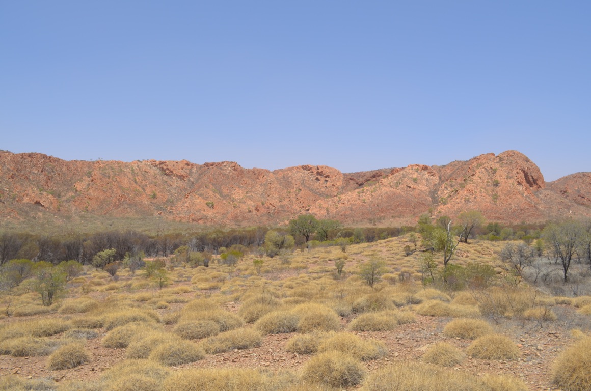
Gosse Bluff
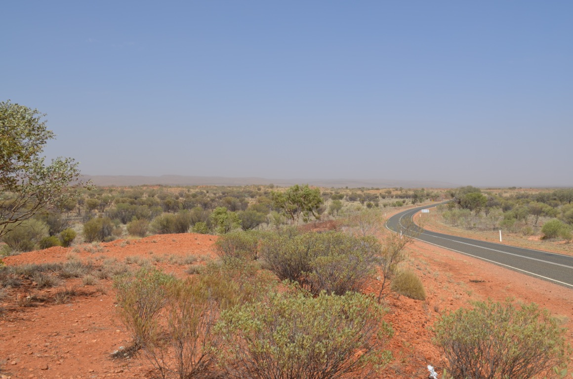
On the way out west we encountered heavy dust storms.....
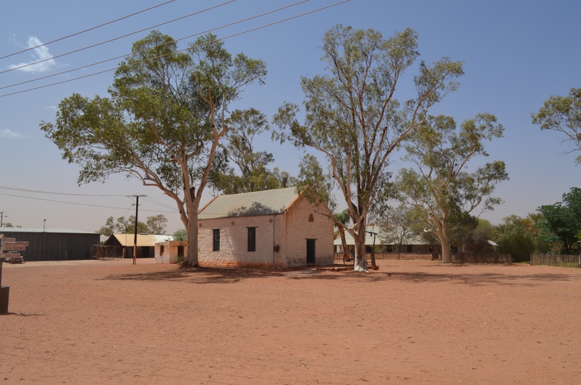
Hermannsberg Historic Precinct: the Church
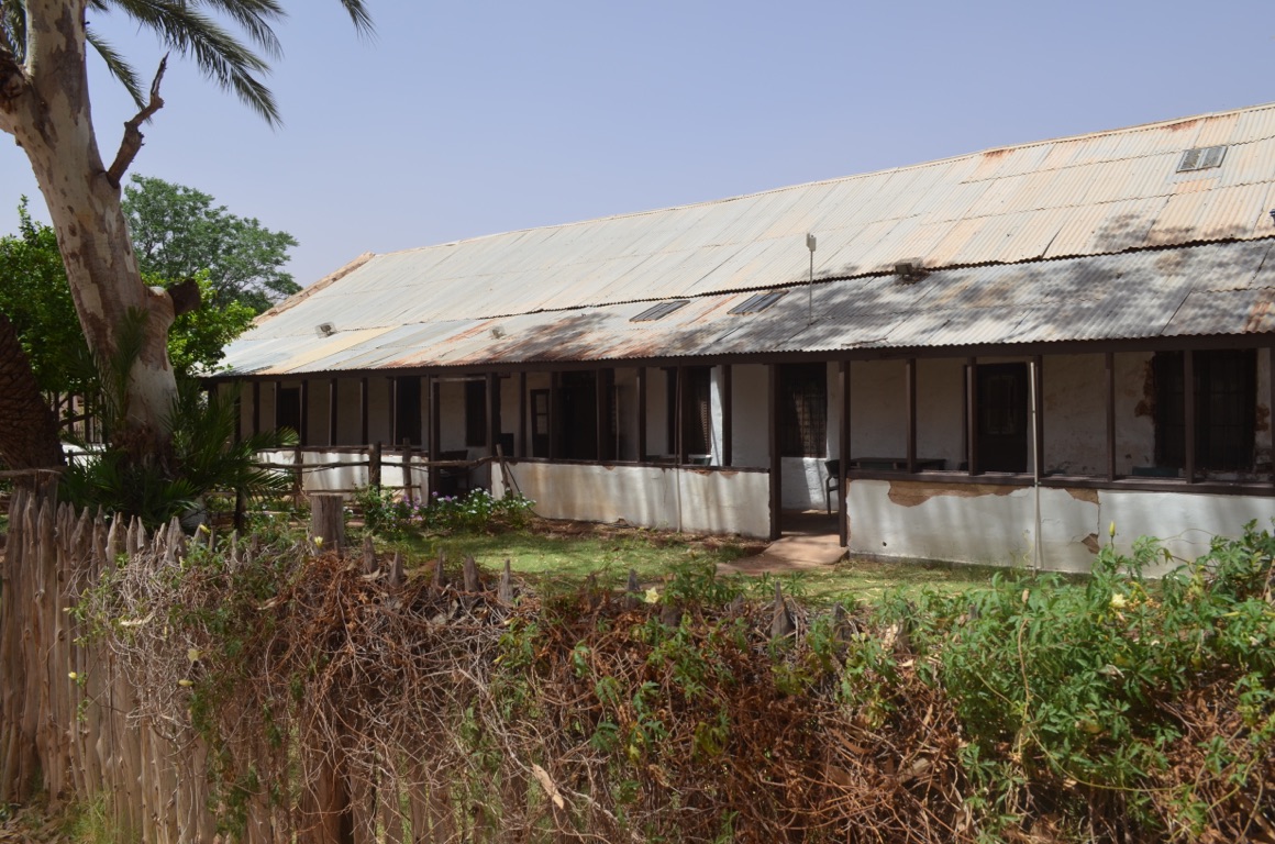
Hermannsberg Historic Precinct
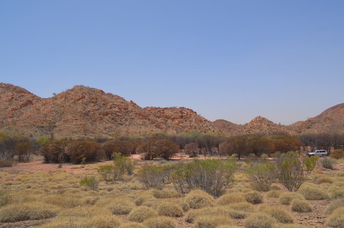
Gosse Bluff
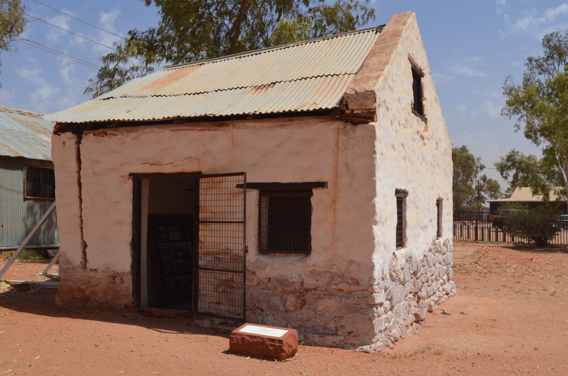
Hermannsberg Historic Precinct
![]()
![]()
![]()
![]()
![]()
![]()
OR
Copy the link to @yilgiddie Journo below
This morning we left the caravan park fairly early to have the engineering firm with whom we’d left the jack clamp to weld it back to the drawbar. This was all finished by 9:00 am.
However, on the way there, we identified some expensive noises below the vehicle and so took it to a motor mechanic who’d been recommended to us by the engineer (everyone knows everyone else in Alice) and he assessed that we needed to replace the drive shaft.
At the time of writing, the Landcruiser is still with the motor mechanic, but we’re reasonably confident it will be available to us sometime during the morning (of Tuesday).
In the meantime, we’ll plan to leave Alice Springs once the vehicle is ready and make our way north towards Tennant Creek (enforced.able.camera) before we turn east again.....
![]()
![]()
![]()
![]()
![]()
![]()
OR
Copy the link to @yilgiddie Journo below
Off to collect the vehicle first up and found that the drive shaft had been replaced, as expected, \240and the CV boot on the offside front wheel had torn and also required replacement.
We got away by 11:30 am and bade farewell to Alice Springs.
The road north was fairly repetitive in terms of scenery and not a great deal of traffic either - we’d got ourselves away from the travellers. We passed through the small community of Ti Tree (diluting.interference.relearn), on the south side of which were extensive table grape vineyards established in the early 1970s and since supplemented by mango orchards.
Barrow Creek (slackers.foil.courtroom) appeared to be an interesting place to stop briefly for fuel and a cool drink. It was one of the repeater stations for the Adelaide to Darwin telegraph line. The pub was definitely worth a visit!
Then, finally, to our overnight stop at the Devils Marbles (environments.pedicure.shield) - an extraordinary collection of stones now revered by the Aboriginals.
Total km today: 402
Total cumulative km: 15,647
what3words:
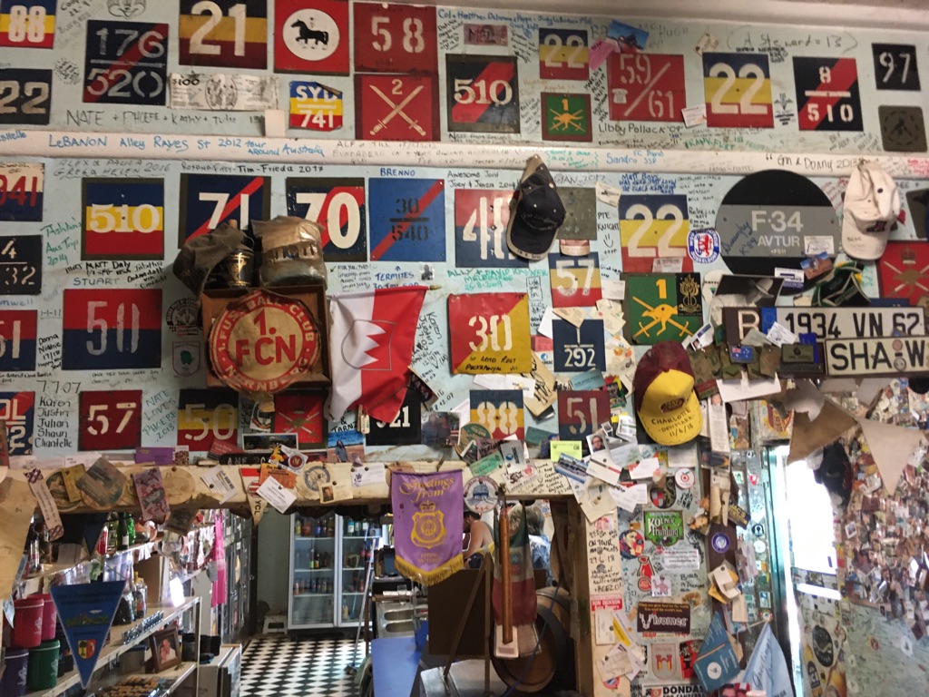
Barrow Creek pub
Devils Marbles
Barrow Creek Roadhouse truck’s last days....
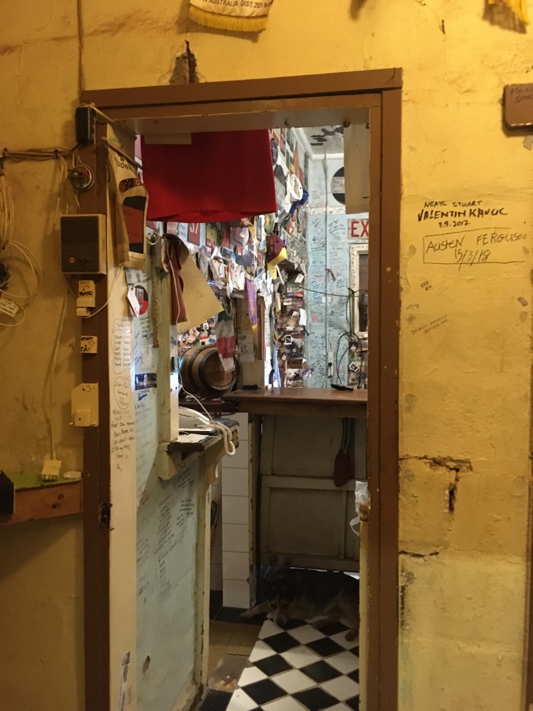
Barrow Creek pub
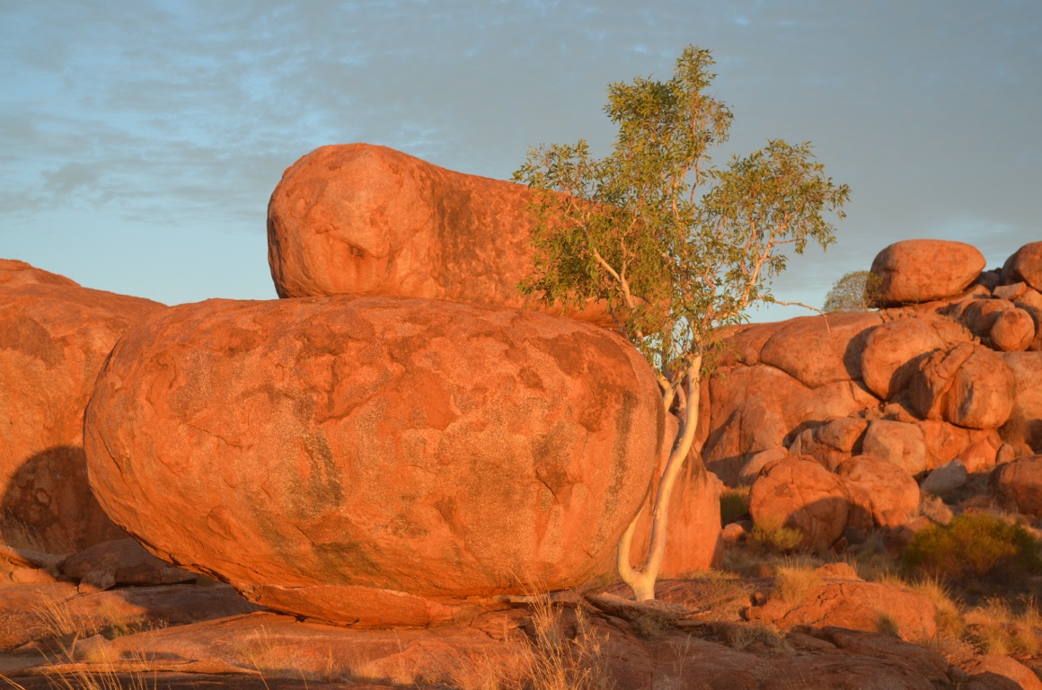
Devils Marbles
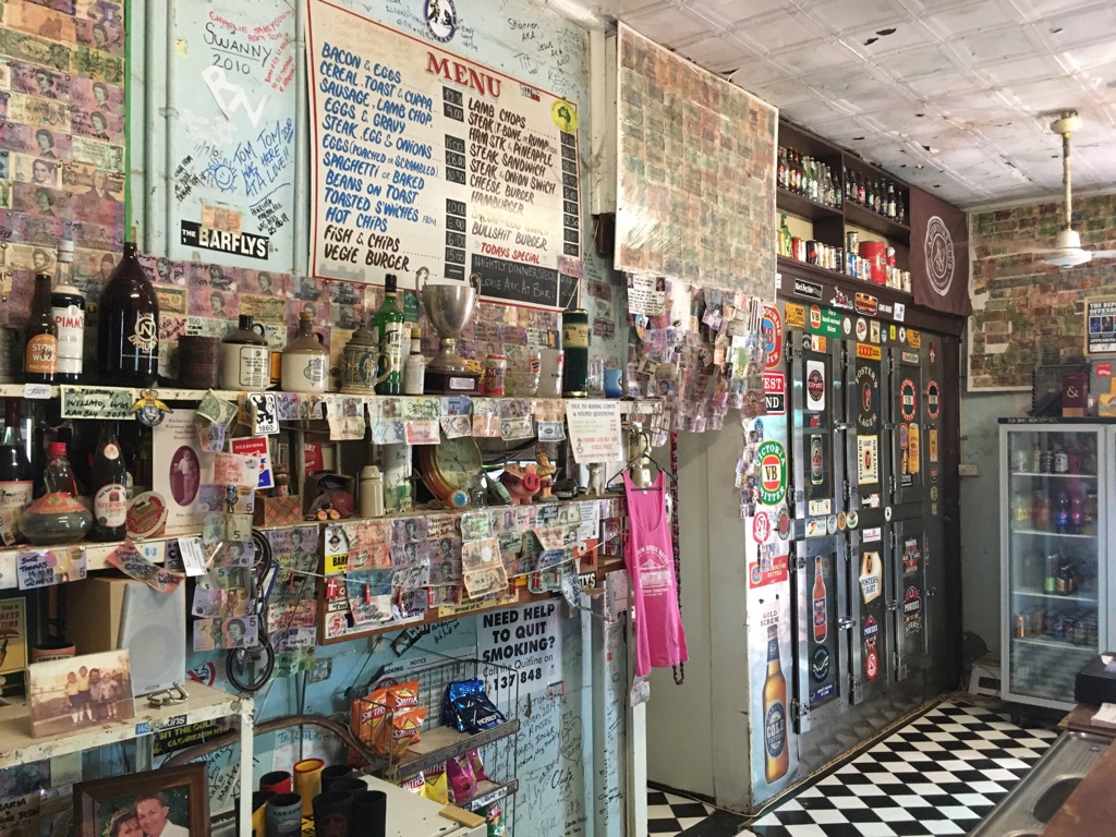
Barrow Creek pub
Ti Tree Roadhouse
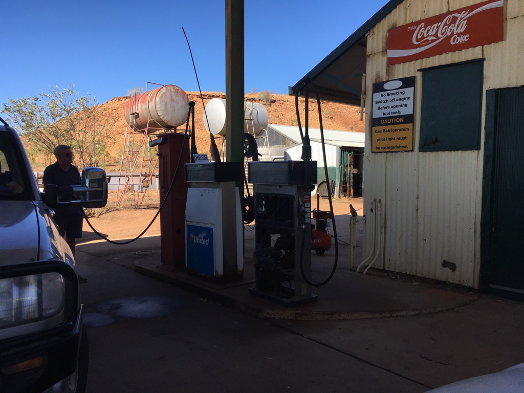
Barrow Creek Roadhouse
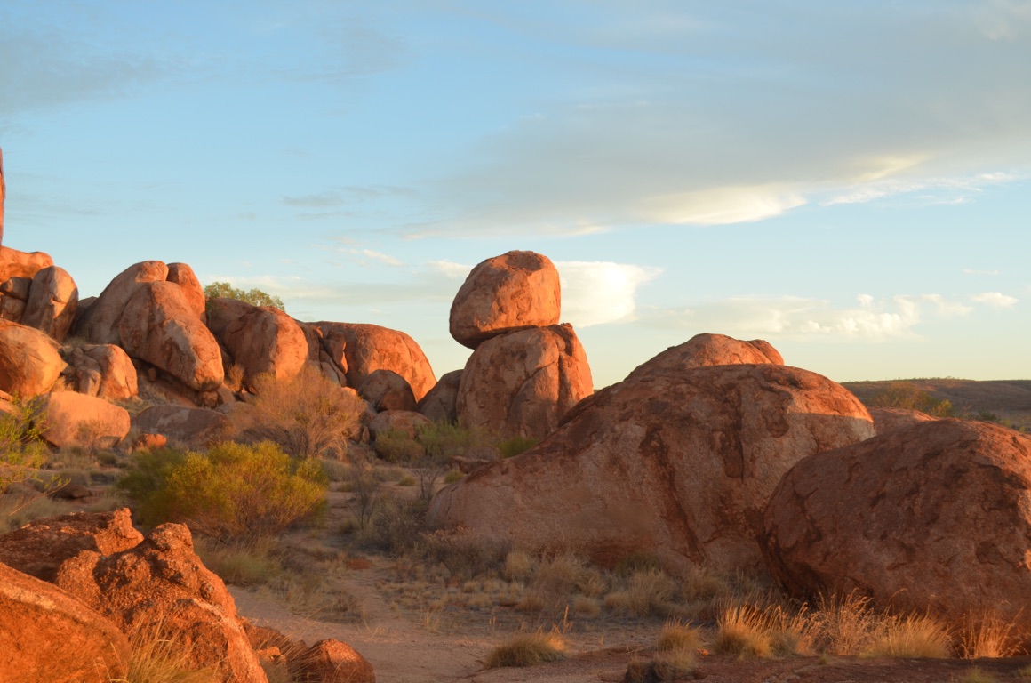
Devils Marbles
Barrow Creek pub
Barrow Creek pub
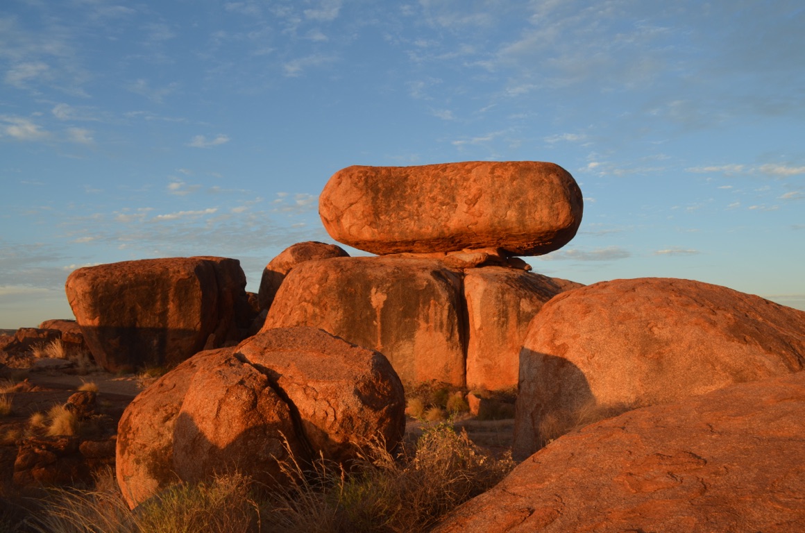
Devils Marbles
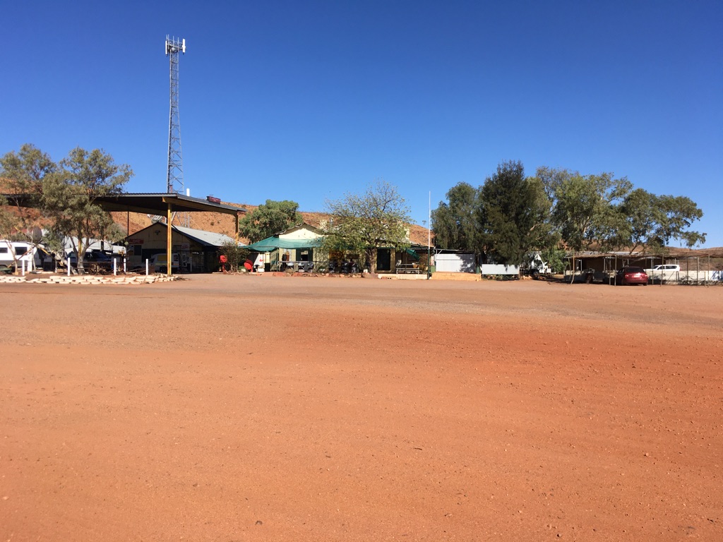
Barrow Creek Roadhouse and pub
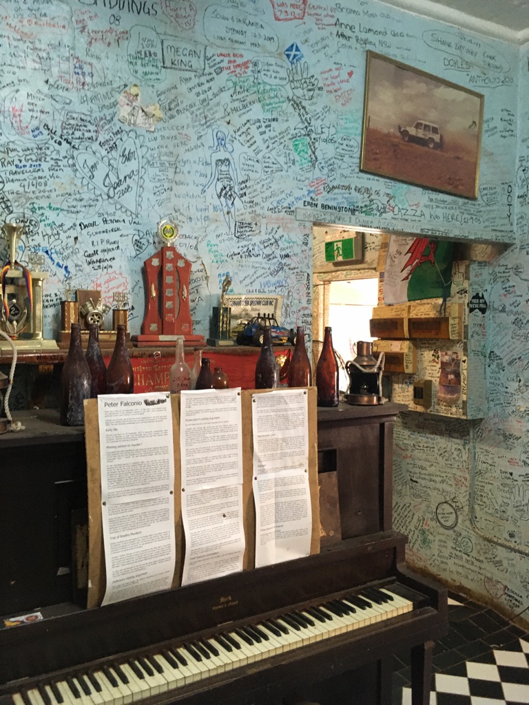
Barrow Creek pub
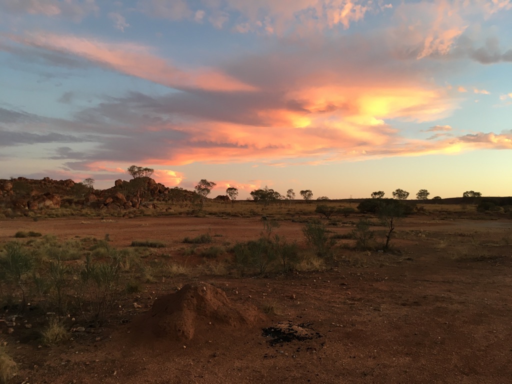
Sunset near Devils Marbles
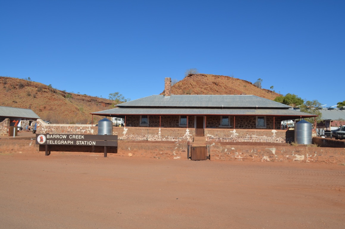
Barrow Creek Telegraph Station
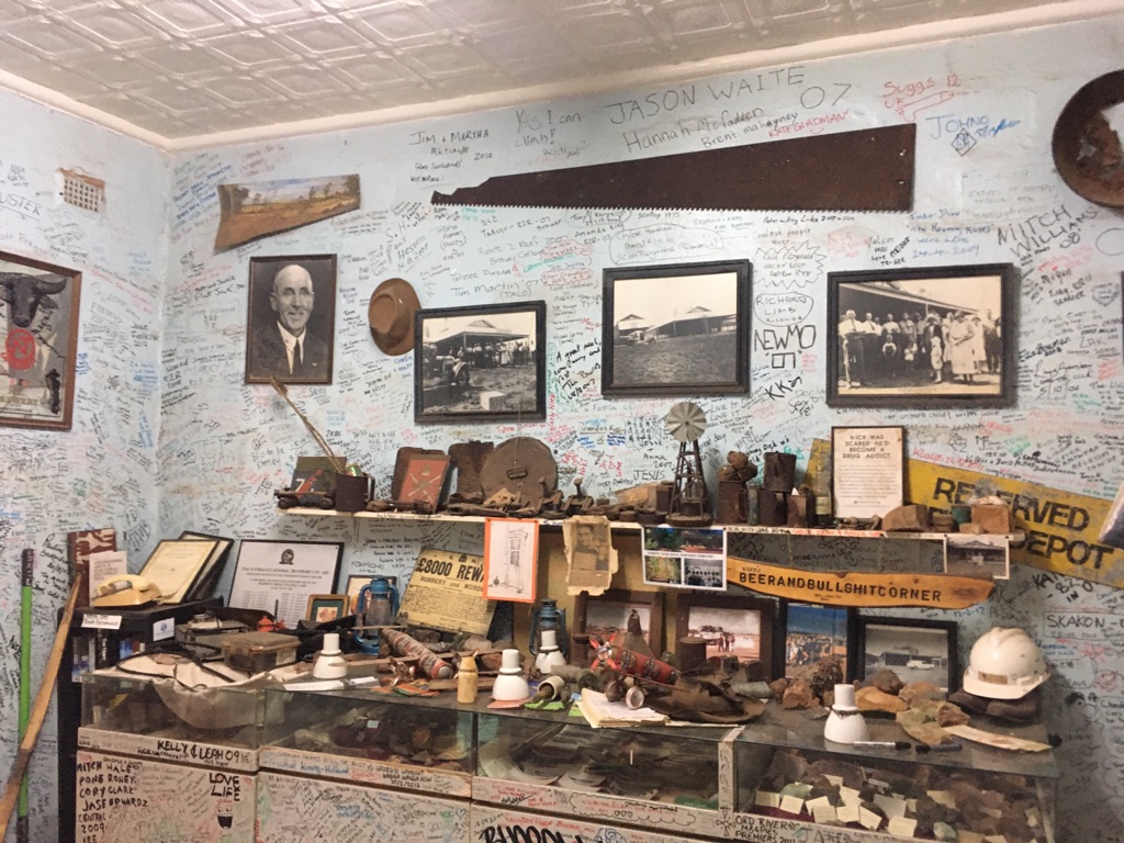
Barrow Creek pub
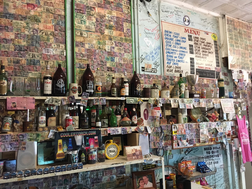
Barrow Creek pub

Barrow Creek pub
![]()
![]()
![]()
![]()
![]()
![]()
OR
Copy the link to @yilgiddie Journo below
Sunshine, light and cool breeze made it a beautiful morning.
Tennant Creek (spreads.leaps.holidays) was 200 km up the road and really didn’t have a great deal going for it - until we reach the Telegraph Station (coached.detectable.magnetism) just north of the town. We’d become attached to the story of the Adelaide to Darwin telegraph line and its repeated stations and this one was a great example. All credit to those who maintain these important pieces of Australian history.
We turned east at Three Ways (confiscate.formality.space), only a few kilometres north of Tennant Creek and drove a further 190 km to the Barkly Homestead where we bunkered down for the night.
Total km today: 322
Total cumulative km: 15,969
what3words: credit.chipmunk.approach
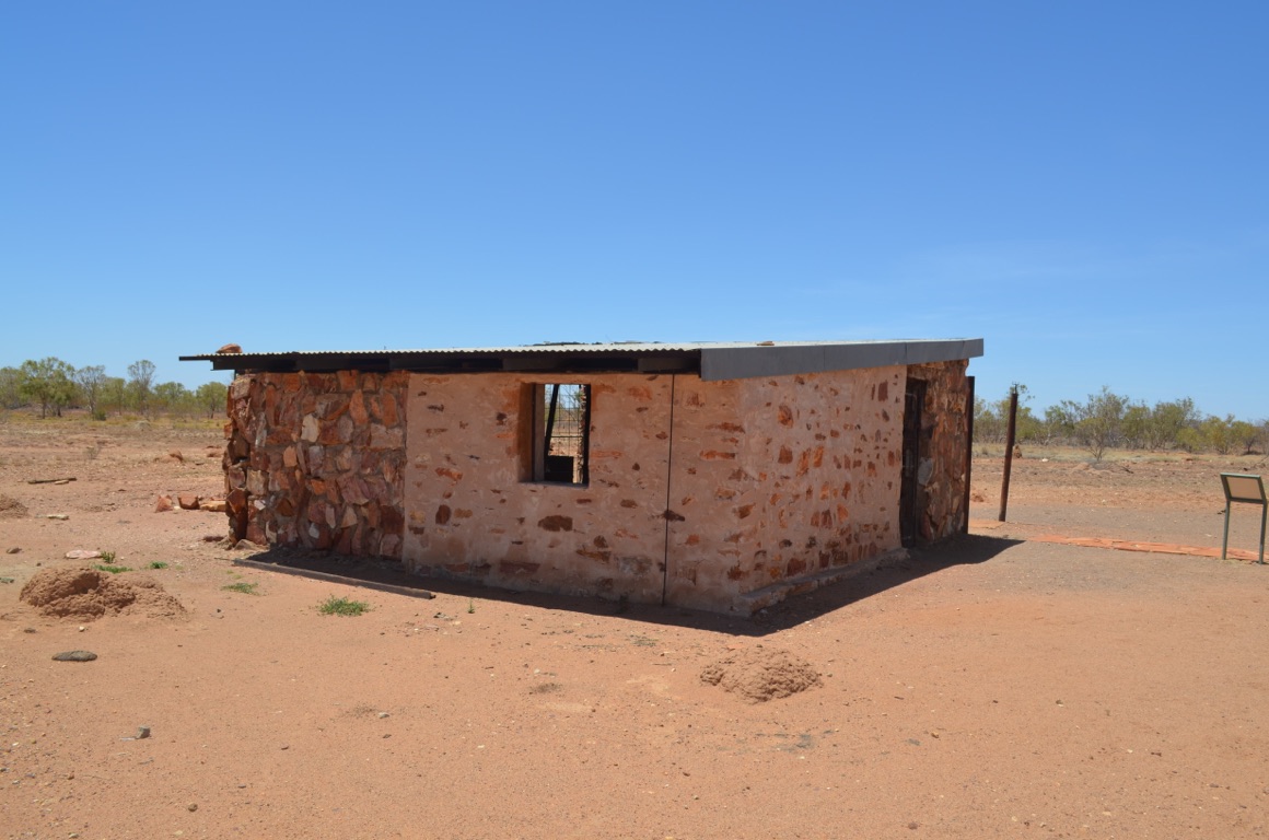
Tennant Creek Telegraph Station - blacksmith shop

Tennant Creek Telegraph Station - fresh produce cellar
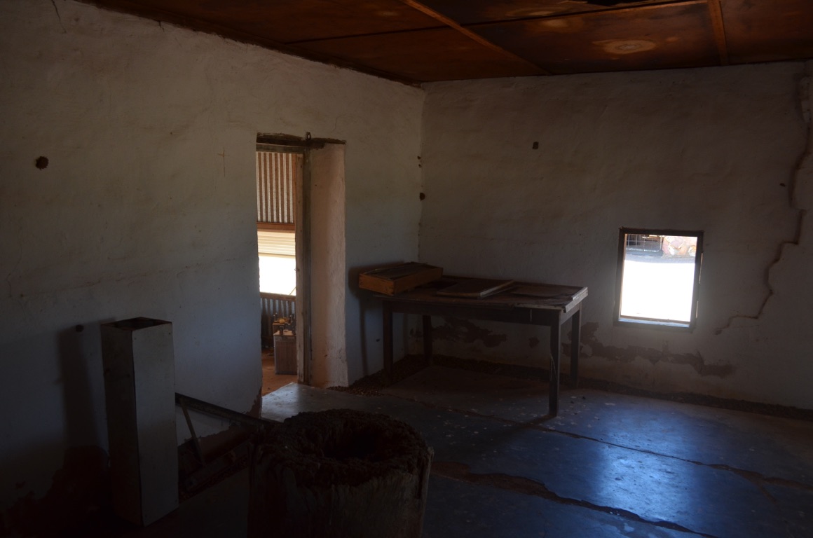
Tennant Creek Telegraph Station - butcher
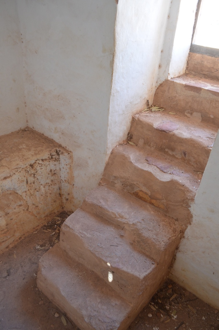
Tennant Creek Telegraph Station - fresh produce cellar
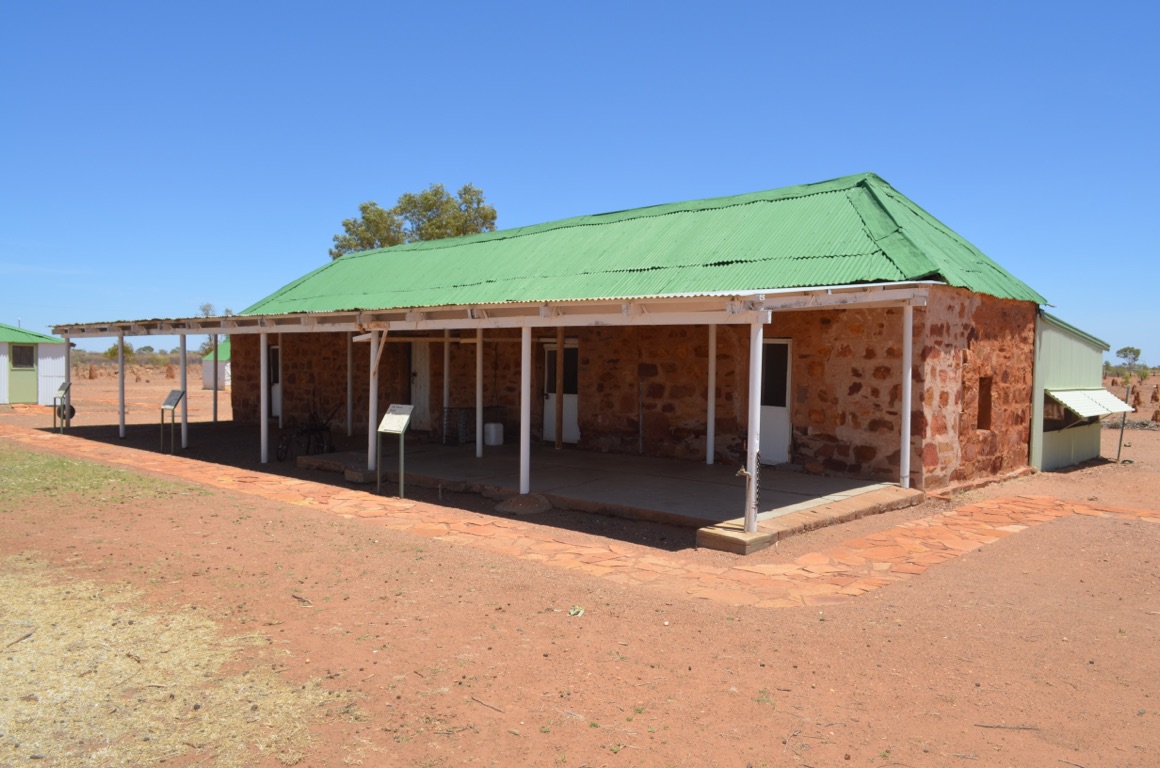
Tennant Creek Telegraph Station - butcher on one side and storage on the other
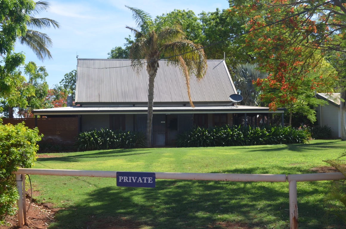
Barkly Homestead roadhouse
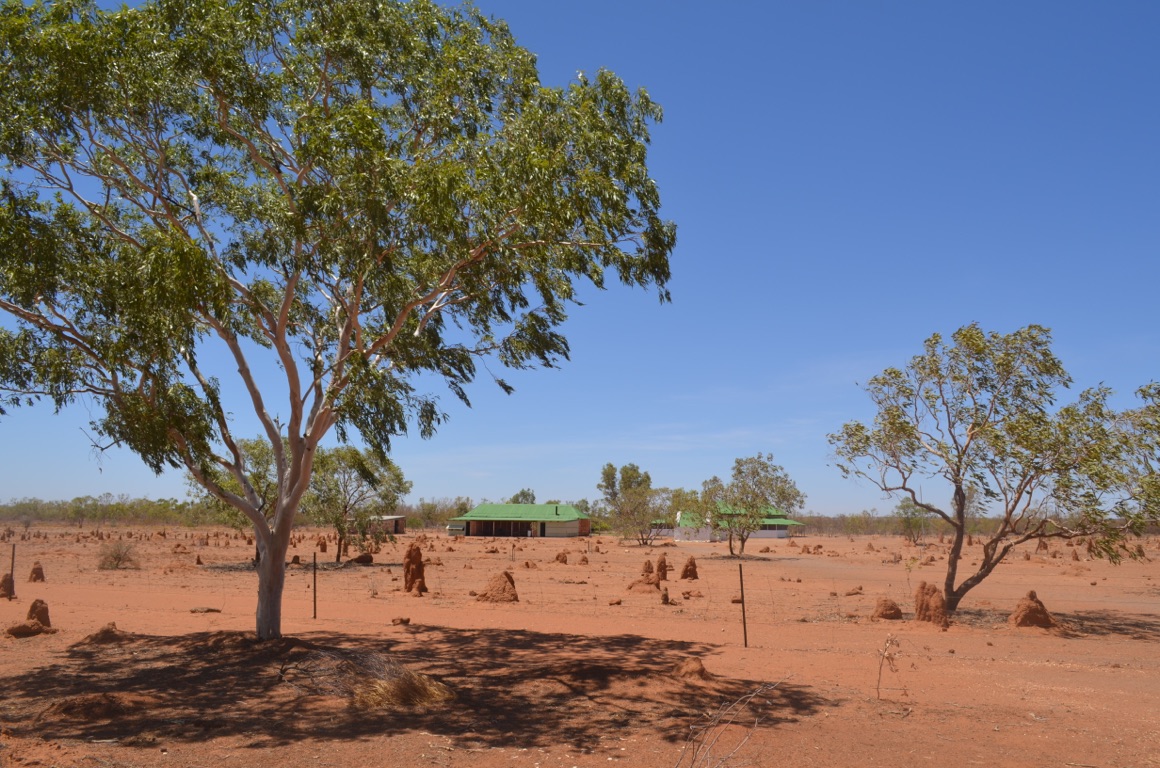
Tennant Creek Telegraph Station
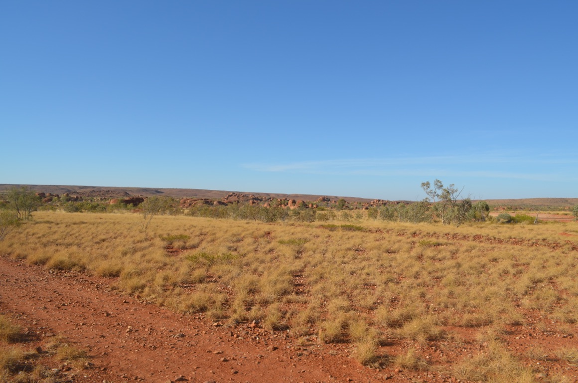
The Devils Marbles on our way out
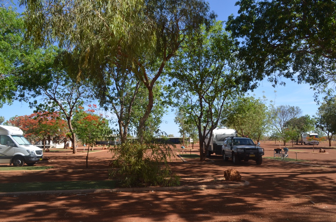
Barkly Homestead overnight stop
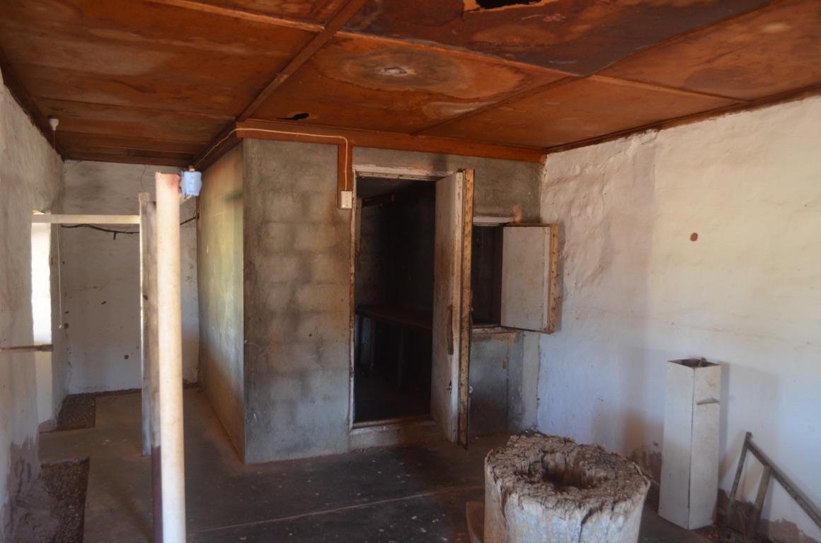
Tennant Creek Telegraph Station - butcher
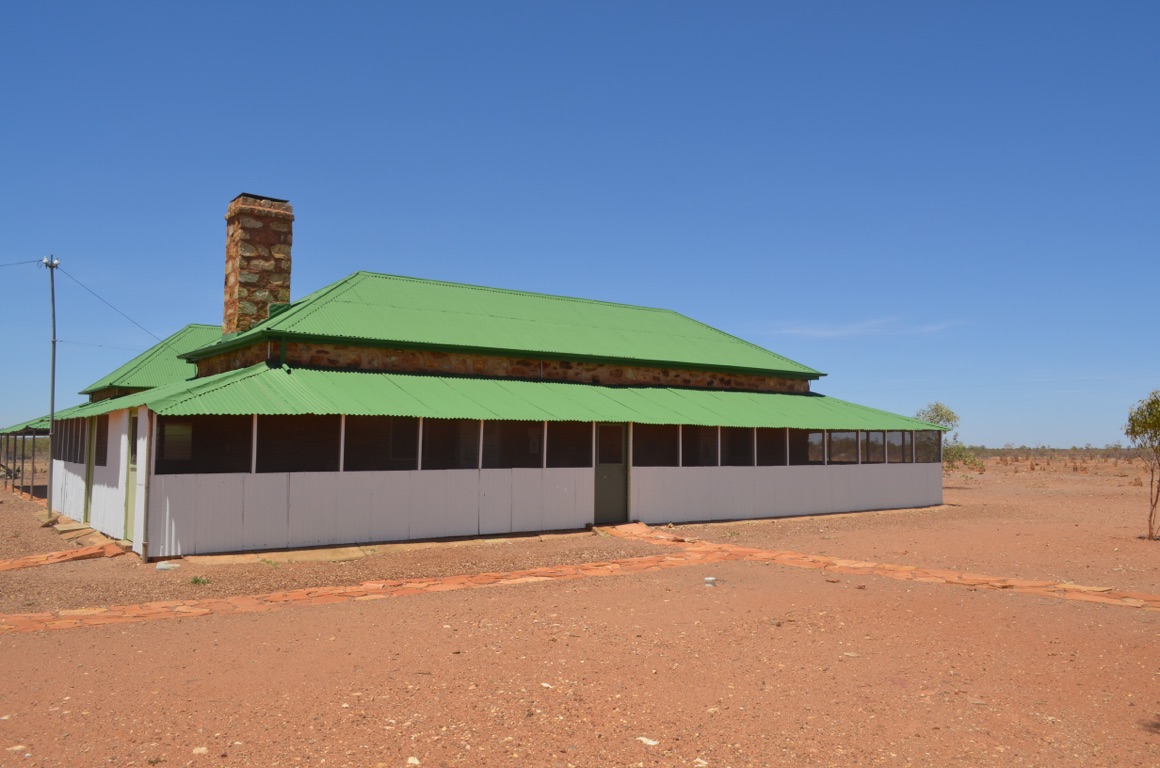
Tennant Creek Telegraph Station - accommodation

Tennant Creek Telegraph Station - fresh produce cellar
Barkly Homestead roadhouse
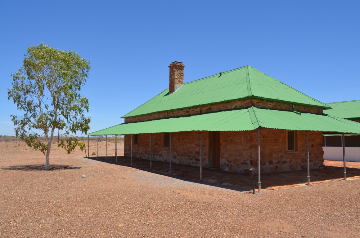
Tennant Creek Telegraph Station
![]()
![]()
![]()
![]()
![]()
![]()
OR
Copy the link to @yilgiddie Journo below
We had dinner in the roadhouse last night - where the real Australians gather.
There was a party of six who had met up at Barkly Homestead and were on their way north to Borroloola (lurk.reviews.yelled) for a couple of weeks fishing in the Gulf; there was a truckie who had recently come down the Tanami Track and had spent 28 hours tackling 300 km of dirt with his truck and trailer; a bunch of Aborigines playing pool on the outside veranda; an elderly couple (who’s talking elderly? - they were probably younger than us) who were a little overawed by all the noise and decided to take their drinks outside, rather than mingle with everyone else; and there was us, right in the thick of it! We treated ourselves to Atlantic salmon which was as good as one could get in any top restaurant in any city, complemented (by me, at least) with a huge glass of excellent Shiraz.
Barkly Homestead boasts that it’s the most remote roadhouse in Australia - perhaps a bit of a stretch, nevertheless, don’t be put off by its exterior, it’s worth a stay. It’s a family owned and operated enterprise and quite expensive, however, they have to operate a generator in the absence of power from the grid and have to burn 700 litres of diesel everyday to make everything work. And it has one of the best kept caravan stops one will ever find in the country.......
Although we had an early start, we were almost last out of the park - not surprisingly, the fishermen were out first.
Camooweal (quintet.mitigated.ropes) was our first stop for fuel. It claims to have a population of 300, although our guess is closer to 100 which includes the Indians who manage the fuel station. The Drovers’ Memorial is fitting as, before too long, no one will know what a drover did given the advent of three trailer road trains.
About 100 km west of Mt Isa there’s another memorial (process.unnerving.string) this time to those who established a gravel road from Mt Isa to Camooweal and finally link up with the north/south road at Tennant Creek. This was required for strategic needs during WWII so as to move military traffic - in late 1941 there were 1,000 Australian and American vehicles a day using the road. An all-out effort was made the following year to bitumise the road. However, the road was replaced in 1994.
Total km today: 454
Total cumulative km: 16,423
what3words: novel.diligence.refurbish
Camooweal at rush hour
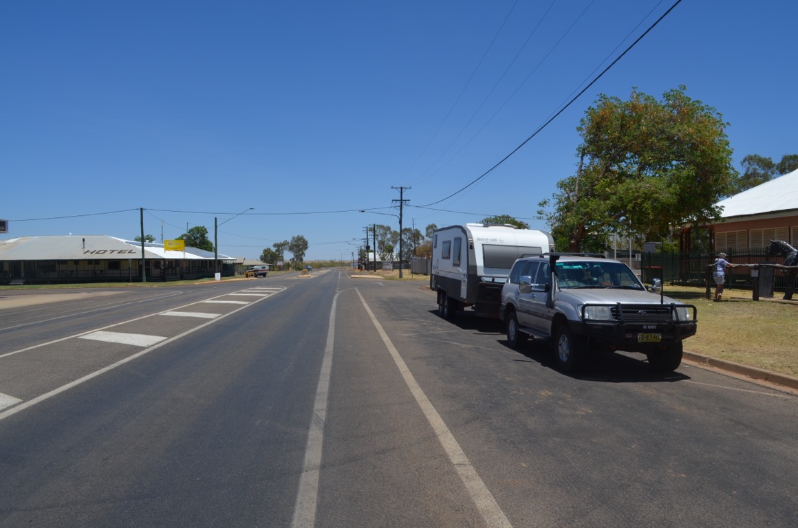
Camooweal
Camooweal - the Drovers’ Memorial
The WWII road can be seen on the left and the current road on the right.
![]()
![]()
![]()
![]()
![]()
![]()
OR
Copy the link to @yilgiddie Journo below
We’d booked an underground mine tour (power.coveted.supporter) for me this morning, which was duly completed within the allotted 3 hour period.
In fact, the whole experience was based on a $15 million tourist investment - a replica of an underground mine complete with 1.2 km of tunnels 8 metres below ground, redundant mine machinery, crib room and a retired miner as a guide. An interesting way to beat the 40°C heat above ground!
During the afternoon we visited the Riversleigh Fossil Centre which showcases fossils discovered at a Heritage Listed site not far from Mt Isa. An extraordinary experience as the site is one of the richest in Australia as it throws light on the development of mammal megafauna over a period of 30 million years.
The day was exceptionally warm and so we decided to make our way further south tomorrow and find some marginally cooler weather...
Not a pretty sight!
![]()
![]()
![]()
![]()
![]()
![]()
OR
Copy the link to @yilgiddie Journo below
An early start as we wanted to get some progress in a southerly direction - not because of any concern regarding bushfires at home (there aren’t any as far as we’re aware) but because we wanted to find some cooler weather after a few days of 37°C+.
First stop was Cloncurry (continuously.watching.uneducated) for coffee and a refuel, then on to the Blue Heeler pub at Kynuna (progressed.circled.capsize) for a steak sandwich and soft drink, then to Winton (zipped.pencils.crawlers) to refuel and then finally, a last push to Longreach.
A long day battling less than ordinary roads - sealed but in poor condition, especially after the floods that affected this region last year.
Total km today: 648
Total cumulative km: 17,071
what3words: vents.pinpoint.traitor

Dry country after suffering floods last year

Blue Heeler pub at Kykuna

Blue Heeler pub at Kykuna

A brolga one metre away from our van in Longreach
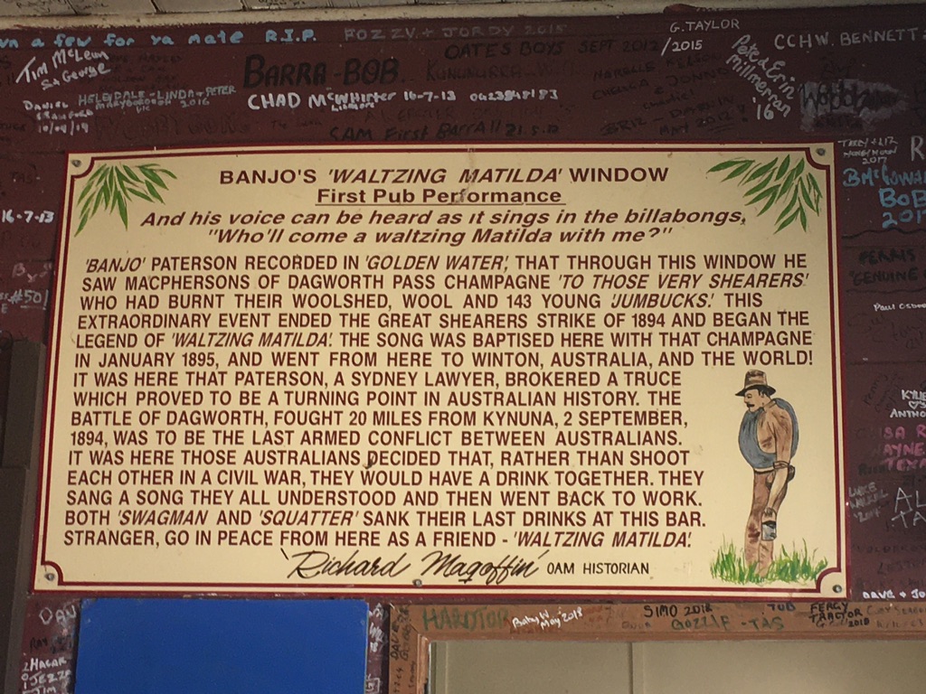
In the pub
![]()
![]()
![]()
![]()
![]()
![]()
OR
Copy the link to @yilgiddie Journo below
Having made some progress yesterday, we dexided to take it easy today. And had a late start.
The road south from Longreach towards Windorah, although sealed, is single track for a greater part of the trip through to Jundah so it was slow progress, given the traffic.
Just short of Stonehenge there is what’s called an address book (pivoting.consist.egging) at which people have left their signature alongside the road by placing stones to form the relevant names - very much a tourist attraction but fun nevertheless.
Stonehenge itself (roses.silly.simplest) is a small town (perhaps 30 population) and that’s where we stopped at the pub for a drink. We were the only customers.
We stopped a little further on at a jump-up, beyond which there was a scenic lookout (sunrise.jukebox.objector) with great views, although it’s never easy to capture these with a camera.
Ended the day at our overnight stop beside the Thomson River. After the heat of the past week or so, the breeze beside the river was perfect...
Total km today: 226
Total cumulative km: 17,297
what3words: hive.mulled.accredited
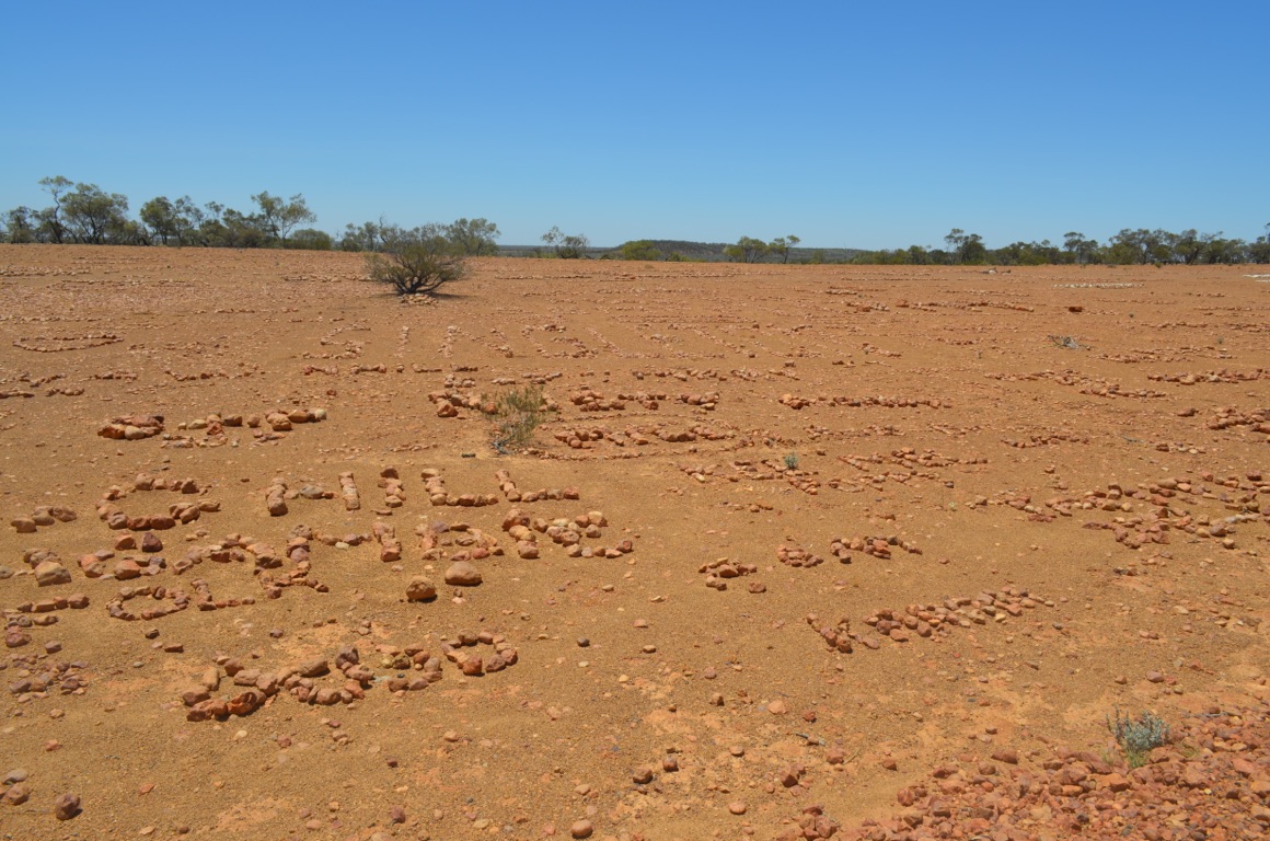
Stonehenge Address Book
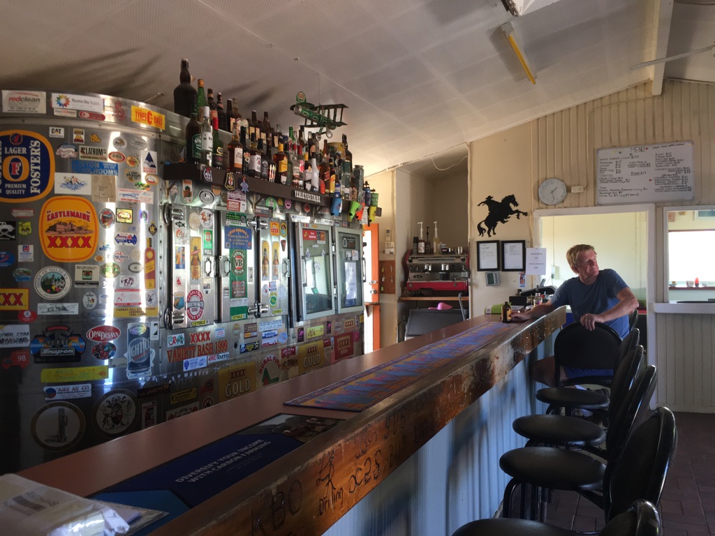
Stonehenge Hotel
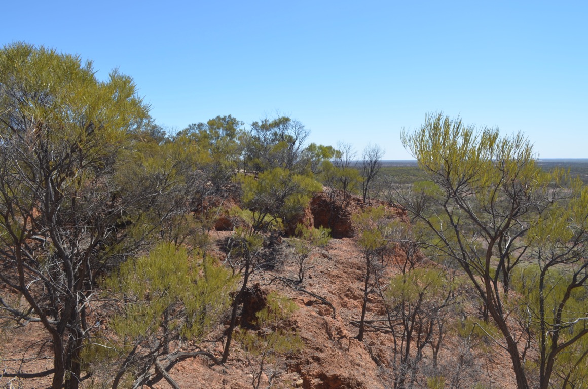
Jump-up lookout
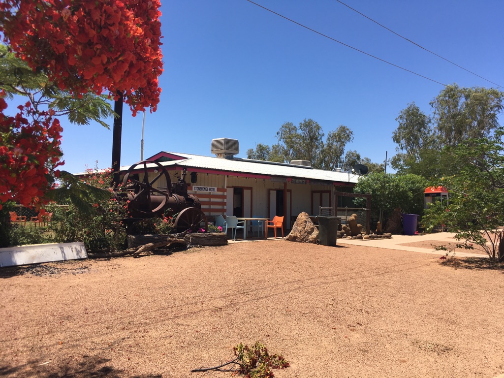
Stonehenge Hotel
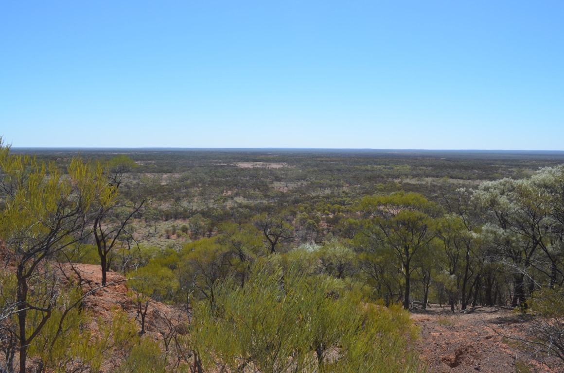
Jump-up lookout
Stonehenge Address Book
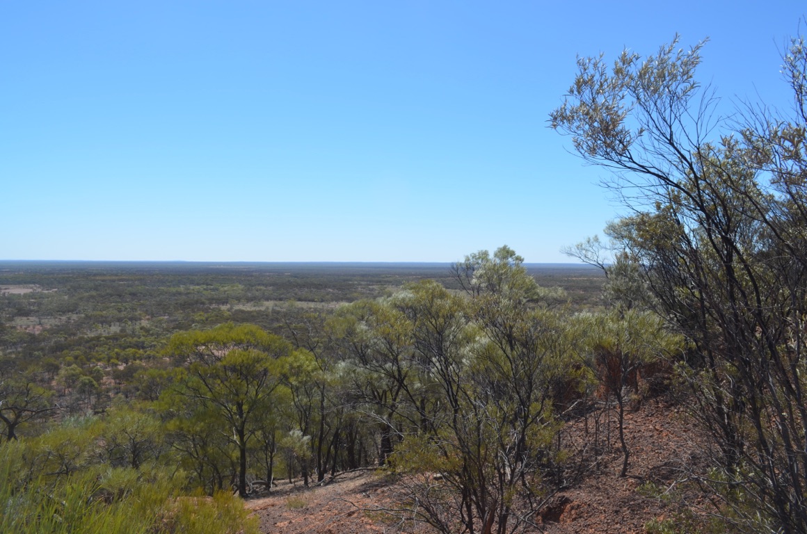
Jump-up lookout
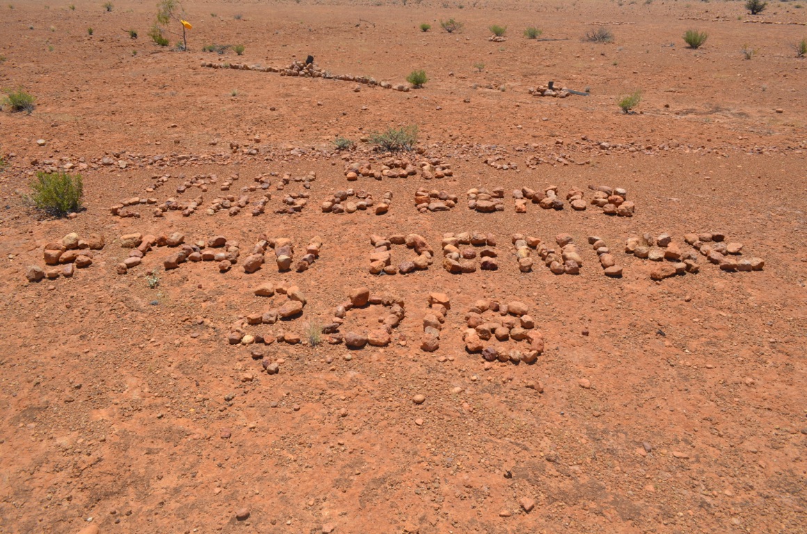
Country north of Stonehenge - green and (almost) lush following rain 2-3 weeks ago
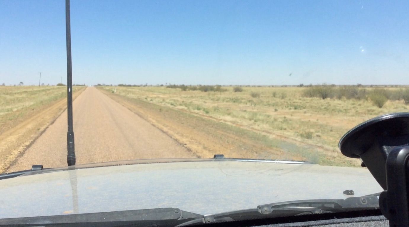
Country north of Stonehenge - green and (almost) lush following rain 2-3 weeks ago
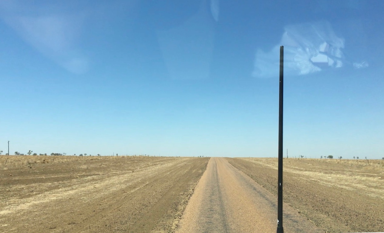
Country close to Longreach - parched and seemingly dry

Beside the Thompson River looking towards Jundah (administrative centre for the Barcoo Shire)
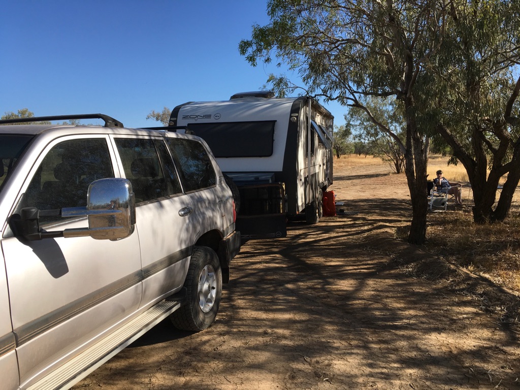
Beside the Thompson River
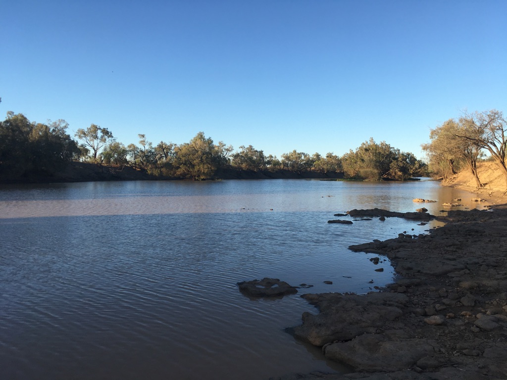
Overnight beside the Thompson River
![]()
![]()
![]()
![]()
![]()
![]()
OR
Copy the link to @yilgiddie Journo below
A great overnight stop. In the morning we found a number of birds beside the river but once the day started to warm up they all seemed to disappear. As did we.
First stop was Windorah (tigers.barstool.cures) where we spent time at the Tourist Info Centre chatting with the staff and enjoying a morning coffee.
We then stopped for lunch at a parking area (mozzarella.intending.walks) before heading off to Quilpie and our overnight stop.
What was extraordinary (to us) was the fantastic state of the country we drove through. Some of it had enjoyed up to 12 inches of rain during the past couple of weeks and, as a consequence, everything was green. What’s more, the cattle were fat and happy - an ideal look for the local graziers. We first noticed this on the previous day coming down from Longreach, but today’s drive told a far better story. As it happened, during today’s drive, we only saw eight trucks travelling in the same direction and five of those were cattle road trains (the others were two fuel road trains and another road train carrying wild dog exclusion fencing). We only saw one vehicle travelling west.....
Total km today: 344
Total cumulative km: 17,641
what3words: ghosts.outfitters.overcook
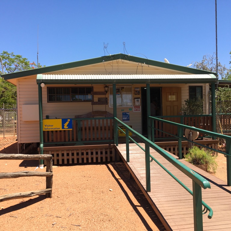
Windorah Tourist Info Centre
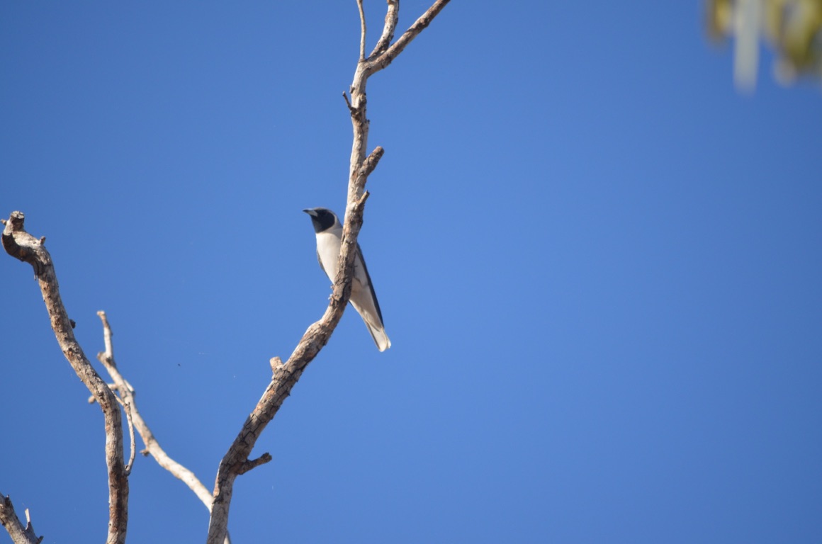
Masked wood swallow - Thompson River
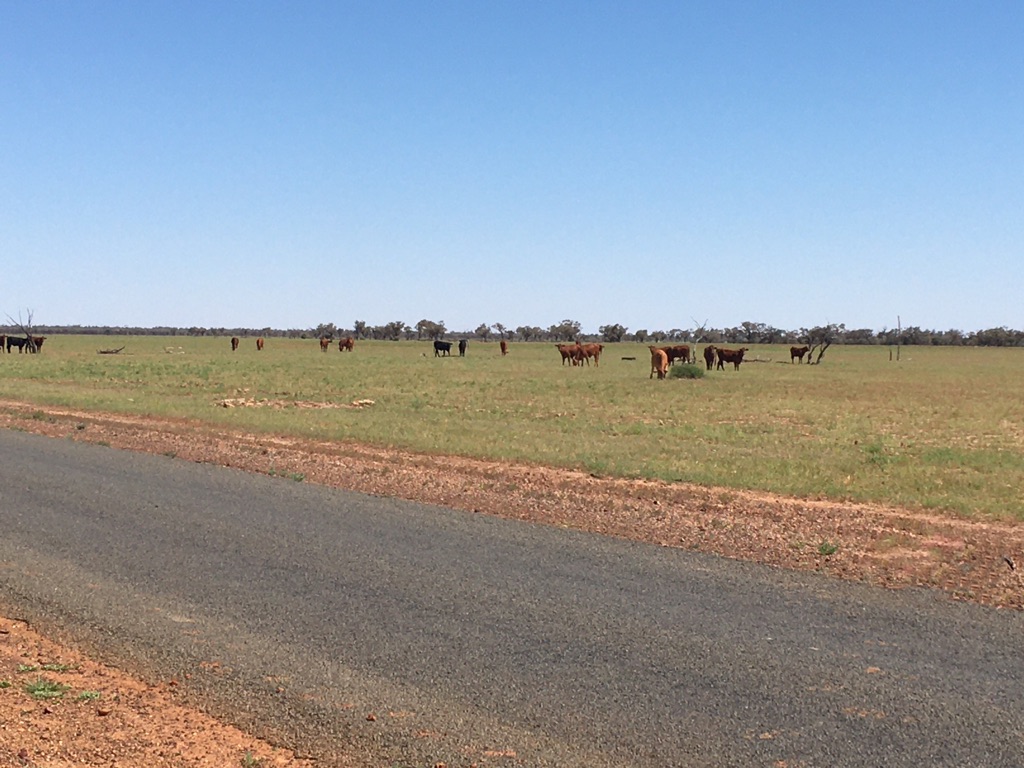
Fat ‘n happy.....
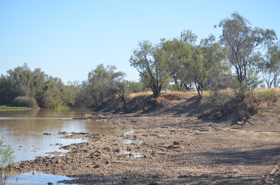
Thompson River
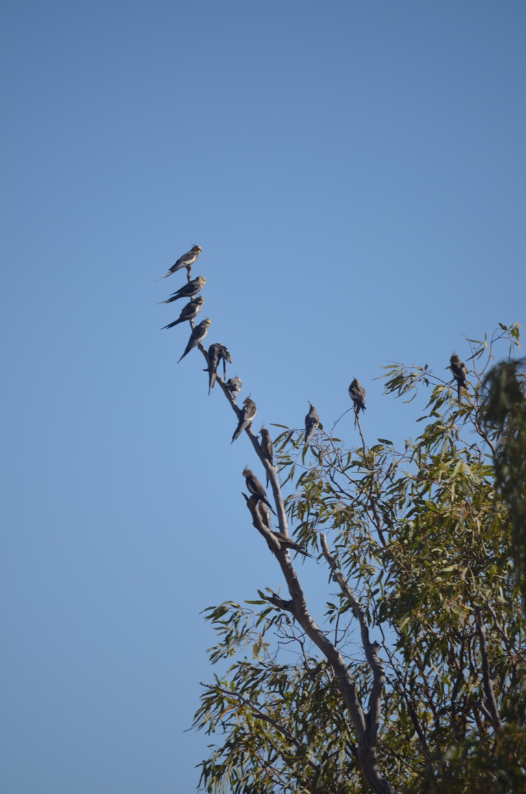
Wirrows (cockatiels) gathering for a chat
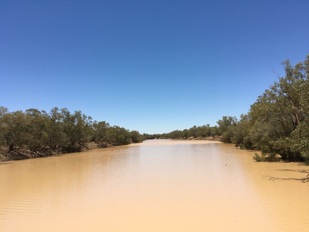
Cooper Creek
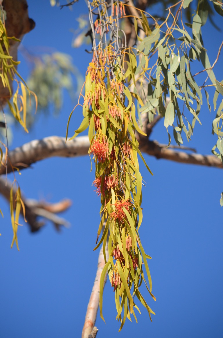
Mistletoe
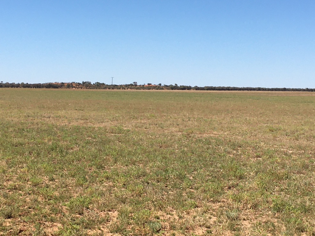
Amazing what a bit of rain will do....
![]()
![]()
![]()
![]()
![]()
![]()
OR
Copy the link to @yilgiddie Journo below
We had a good meal at the Imperial Hotel (recovered.foraged.laminate) last night.
This morning was a late start and we took ourselves off for some local drives.
First to the Lake Houdraman (bursting.trial.registrar) which is on private property and offers an oasis in an otherwise relatively dry environment.
Then back to Quilpie for our morning coffee - always looking to help, even in a small way, local communities which are doing it tough - and on to Quilpie airstrip (grove.continuously.kickbacks) to see a small memorial to Amy Johnson who dropped in to Quilpie on 28 May 1930 to refuel on her record breaking flight (the first woman to fly solo from England to Australia).
Then to Baldy Top Lookout (proposals.coldness.demolished) which offers 360° views from one of the highest natural features in SW Queensland.
And, finally, to Toompine (entwined.redeemed.worktable) and its pub which is often referred to ‘a pub without a town’. We enjoyed lunch there before returning to Quilpie. The ‘town’ was established in the late 1800’s but after the great drought of 1900, the town was devastated and, although the drought broke in 1902, it was deserted by its inhabitants and the hotel is all that remains. However, the building was burnt down in 1893 and the present building was erected in 1895.
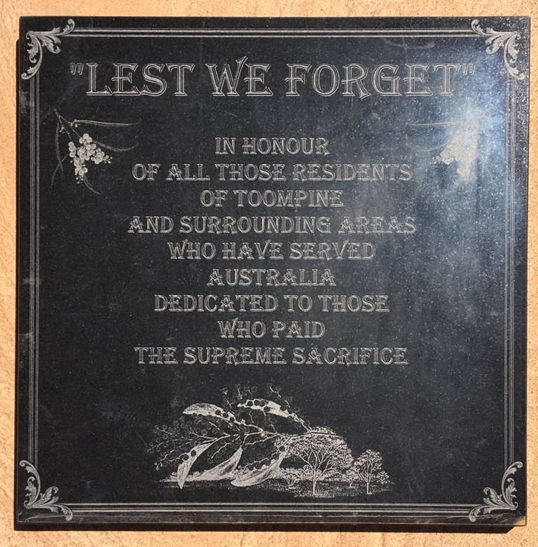
Toompine
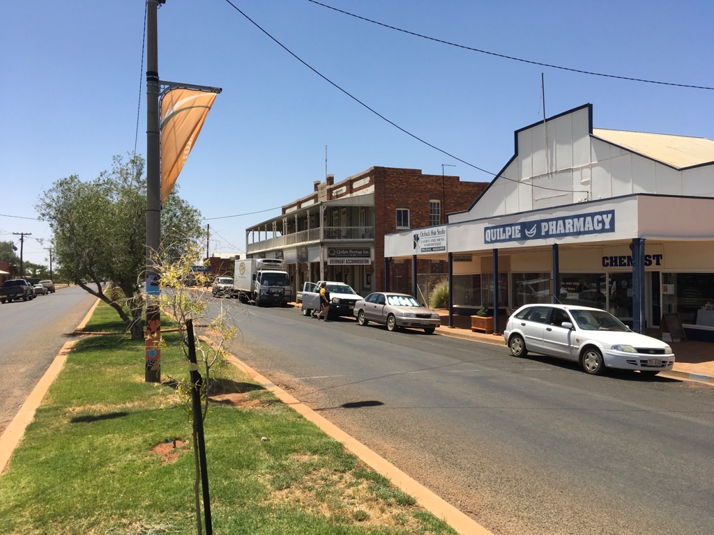
Quilpie
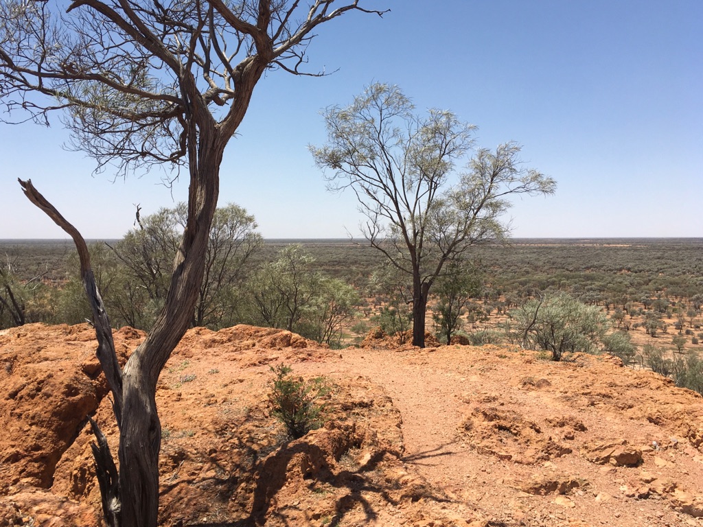
Baldy Top Lookout
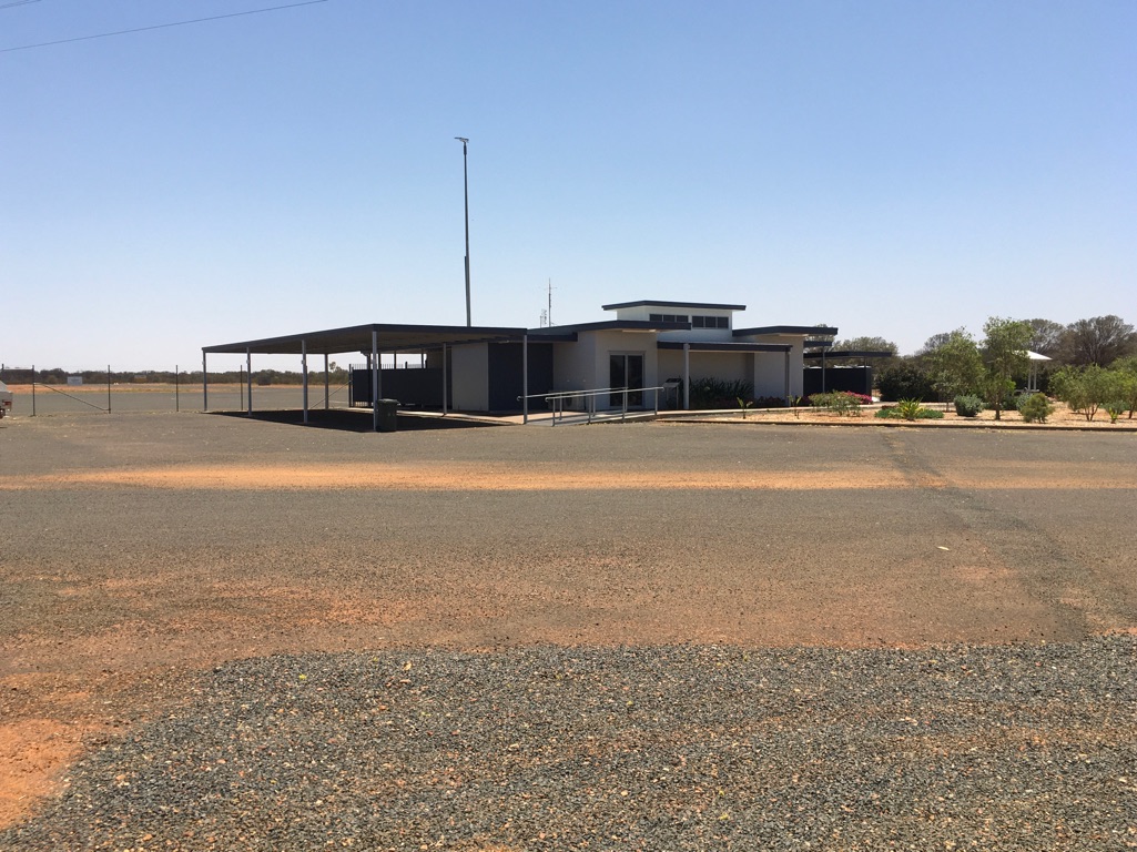
Quilpie Airstrip
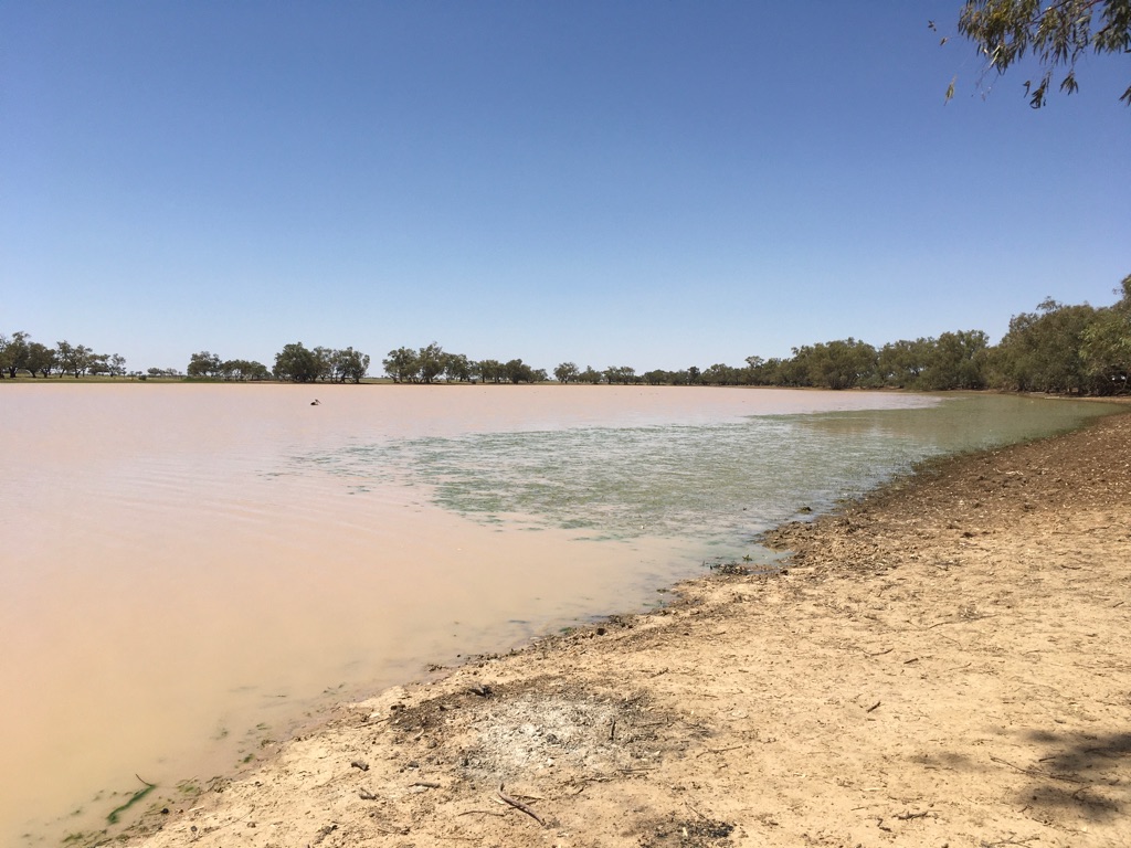
Lake Houdraman
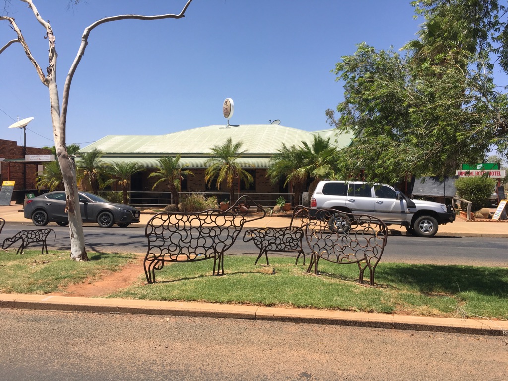
Imperial Hotel, Quilpie
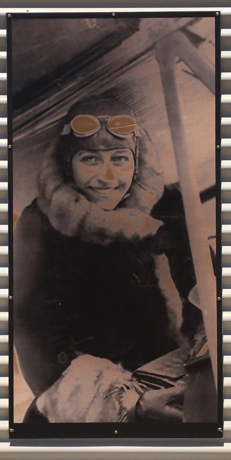
Amy Johnson
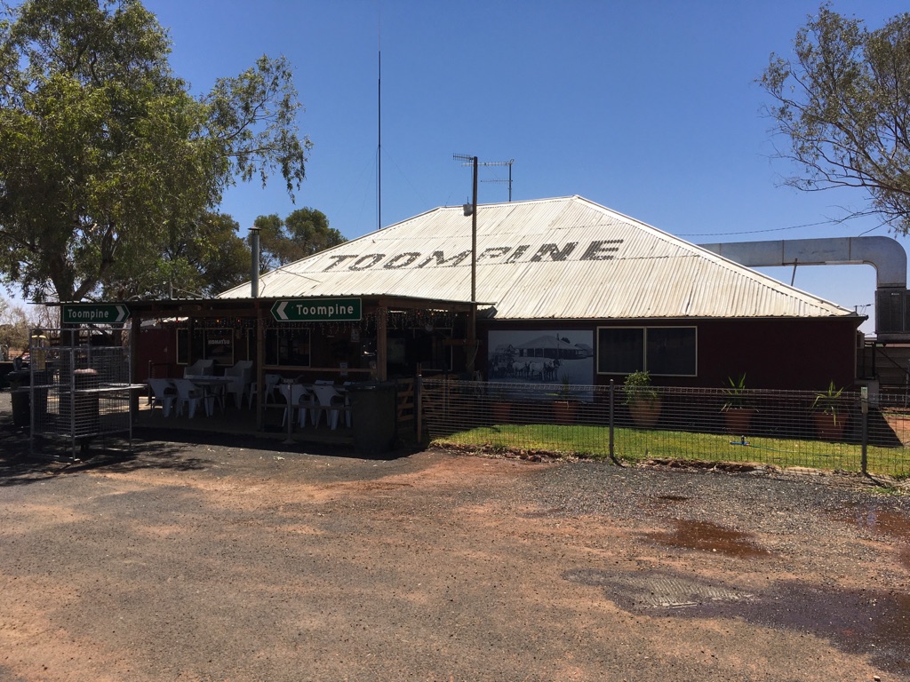
Toompine Hotel
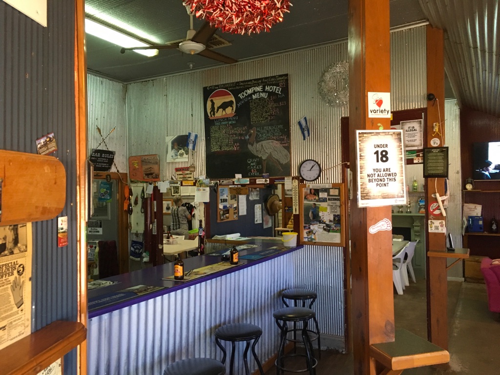
Toompine Hotel
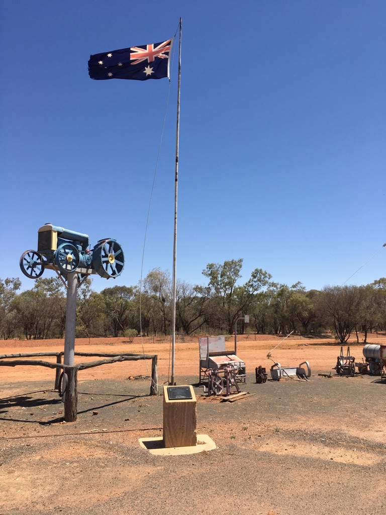
Toompine
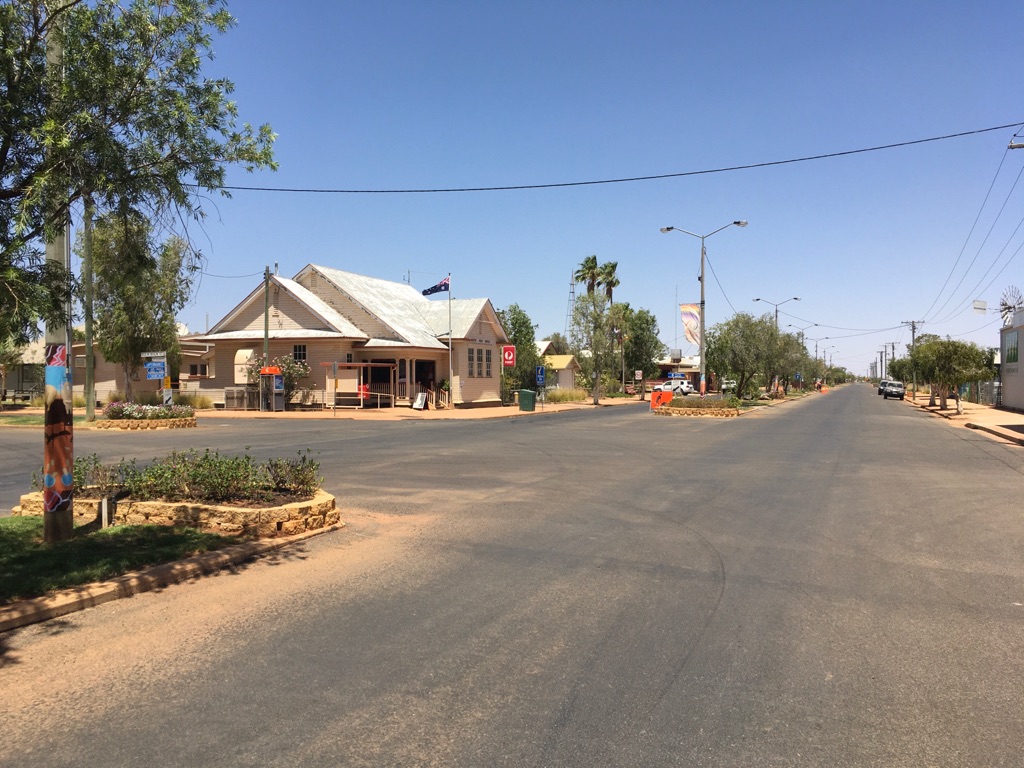
Quilpie
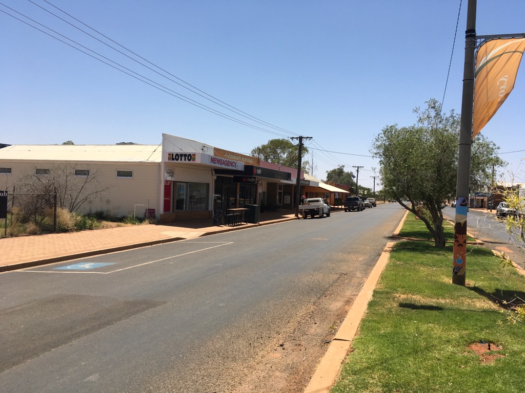
Quilpie
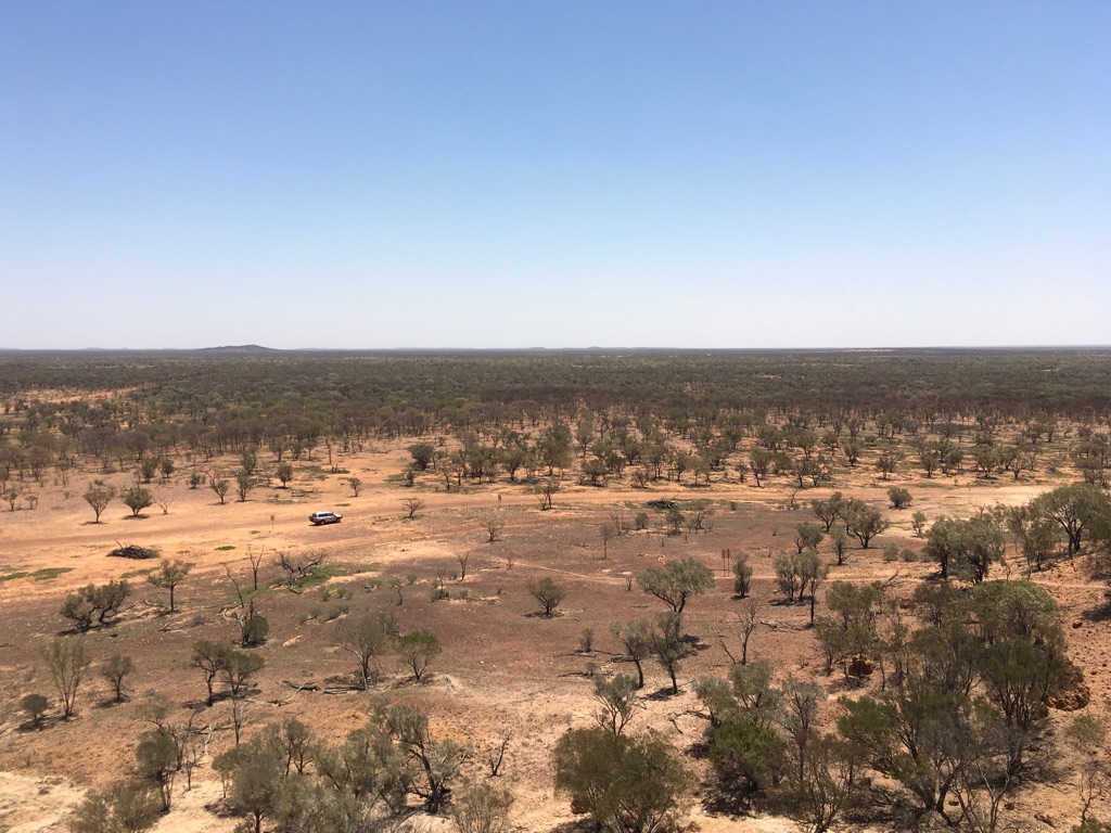
Baldy Top Lookout (find the Landcruiser)
![]()
![]()
![]()
![]()
![]()
![]()
OR
Copy the link to @yilgiddie Journo below
Strong winds overnight. They brought to mind the dreadful conditions in which firefighters are currently handling the bush fires in New South Wales and Queensland. And the commitments made by authorities after every bushfire event to re-introduce back-burning and which never materialises to the extent that it was intended. The Aboriginal communities got it right for a very, very long time and our bureaucrats always seem to know better......
An early start as we had to drive into headwinds on our journey east. First stop Charleville where we stopped briefly to marvel at their recently upgraded Park (bossy.models.grits) which had been awarded a National prize for such things. A fuel refuel and a stomach refuel (in our case, a pie each) before setting off again.
Then through Morven (unheard.lotion.scientist) where we came across a very rare Kerosene Tin hut. During the Great Depression (1929-1932), Australians had to deal with overwhelming poverty and, in many cases, they had to improvise in order to find shelter. Kerosene Tin huts offered a solution and the one we saw was one of a very few that still remain. During this depression, 32% of Australians were unemployed - and, of course, there was no welfare system to help.
We stopped at Fisherman’s Rest, just short of Mitchell for our overnight stop.
Total km today: 391
Total cumulative km: 18,032
what3words: caresses.oversight.tonal
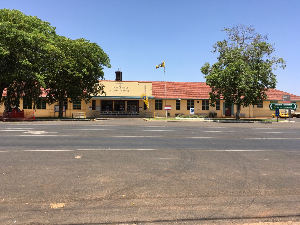
Charleville Railway Station
Charleville Park
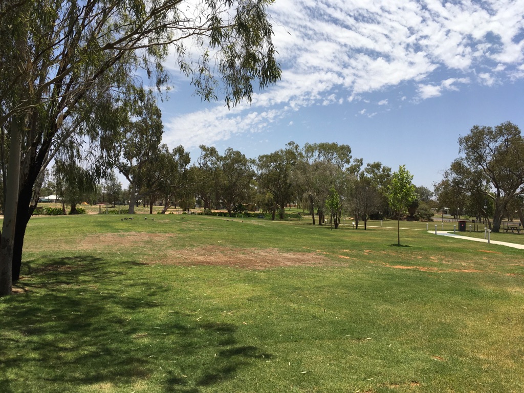
Charleville Park
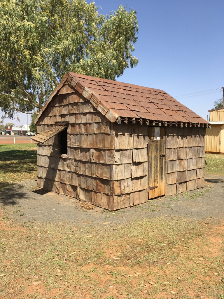
Kerosene Tin Hut at Morven
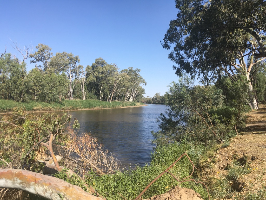
Fisherman’s Rest
![]()
![]()
![]()
![]()
![]()
![]()
OR
Copy the link to @yilgiddie Journo below
We surprised ourselves with a 7:30 start this morning as we had another long day.
We passed through Roma (bronze.slings.ankle), refueled at Wallumbilla General Store (pelicans.alternatives.resurgent) and then stopped for lunch at Warra (skew.airways.prickly).
The state of the road from Mitchell through to (almost) Toowoomba was shocking. The surface was fine, but the undulations, possibly resulting from poor road foundations, caused us to reduce speed, in some cases, to no more than 70 kph. Furthermore, it became obvious that, the closer to Toowoomba one drove, the worse the road condition became. Perhaps there are no votes for the politicians there?
However, there was one huge exception. Our approach to Toowoomba was interesting as a new bypass has been opened in September of this year (photo follows) which takes a 41 km route around the northern side of the town. It is an extraordinary piece of engineering, as shown in the following link: https://youtu.be/VFeQ3Jrjty8 The cost was $1.6 billion.
We stayed overnight next to Lake Dyer (2% full - or, more realistically, 98% empty). A great spot.
Total km today: 502
Total cumulative km: 18,534
what3words: idiom.engulfs.evening
Toowoomba bypass (shown in yellow on the map)
Toowoomba by-pass
Lake Dyer
![]()
![]()
![]()
![]()
![]()
![]()
OR
Copy the link to @yilgiddie Journo below
Journey’s end.
Left Lake Dyer soon after 8:30 and got home just after 11:00.
The traffic, of course, was horrendous, especially after the joy of being nearly the only vehicle on outback roads.
It has been a great trip. Nowever, even with the 5 week break in the middle, five months or so on the road is probably the upper limit of our endurance (wrong word). But having said that, we’d both cover the same ground again in more detail if the opportunity ever arose. In much the same way as last year’s Savannah Way trip - there’s just so much to see and experience in this great country.
Total km today: 249
Total cumulative km: 18,783
Note that the above ‘cumulative’ number only relates to the distance travelled by the caravan. The total distance travelled by the vehicle was 21,791 km.
As a point of comparison, the estmated flying distance from Sydney to London is 17,100 km.
![]()
![]()
![]()
![]()
![]()
![]()
OR
Copy the link to @yilgiddie Journo below